

Explore by activity
Not listed yet

We run Motorbiking & Overland trips — we just haven’t put the itinerary on the site yet. Tell us your dates and we’ll send a costed day-by-day plan.

Explore by experience
Explore by region
by gomayu
Search Tours or Places

Nepal Tourist Places: Where to Go and Why

28 min read Posted 10 Oct 2026Updated 27 Oct 2026
Nepal Tourist Places: Where to Go and Why

Uncover Nepal Team · Last checked: 10 October 2026

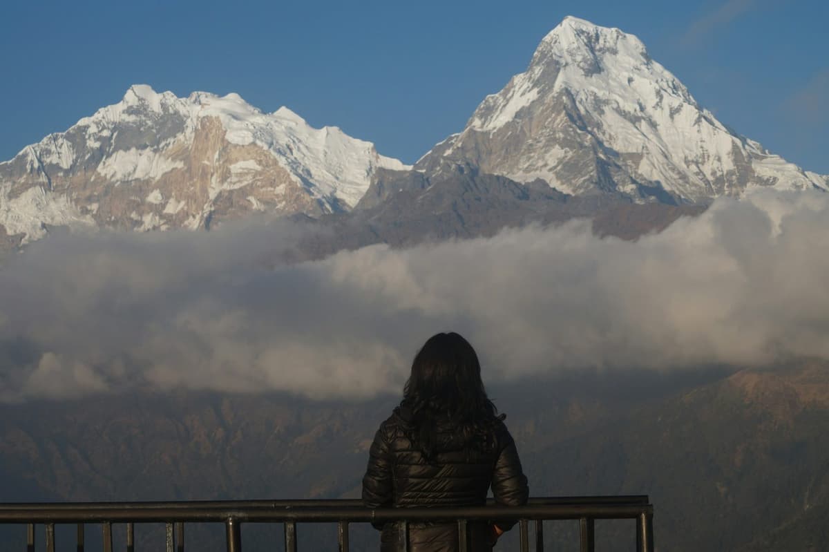
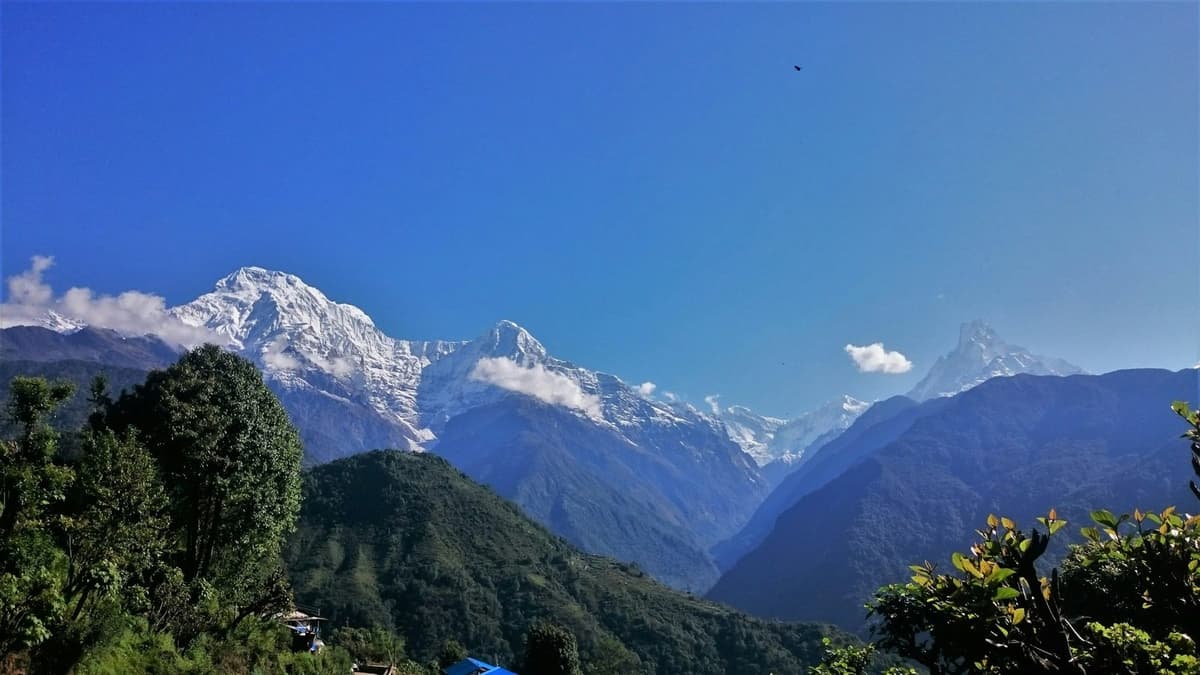
On a clear autumn morning in Pokhara, the snow peaks are out before Lakeside is awake. Nepal Tourism Board says that from Pokhara, mountains above 6,000 m can be seen unobstructed within 28 km. In Kathmandu, about 200 km east, Patan's courtyards are already busy with people on their way to the temples.

The short answer. The main Nepal tourist places are the temples and Durbar Squares of the Kathmandu Valley, the lake city of Pokhara, Chitwan National Park, Lumbini, where the Buddha was born, and the Everest and Annapurna regions. Four places on this list are UNESCO World Heritage Sites. Kathmandu, Pokhara and Chitwan are the easiest to link on a first trip.

This is the hub page of Uncover Nepal Insights for where to go, and each section below points you to a deeper article on that area. We write from Kathmandu, where we run trips every season, so this is the list we would give a friend: what each place is like, how to get there, when to go and the official entry fee.

Key facts

UNESCO World Heritage Sites
Four: Kathmandu Valley, Sagarmatha National Park, Chitwan National Park, Lumbini (UNESCO World Heritage Centre, 10 Oct 2026)
Visitors in 2025
1,158,459 international visitors, preliminary figure (Kantipur / Kathmandu Post, citing NTB and the Immigration Office, 10 Oct 2026)
Largest market in 2025
India, 292,438 arrivals, about a quarter of the total (Kantipur, citing NTB, 10 Oct 2026)
Clearest skies
After the monsoon, in October and November (Nepal Tourism Board, Climate, 10 Oct 2026)
Visa for Indian nationals
Not needed; accepted ID required (Nepal Tourism Board, Tourist Visa, 10 Oct 2026)
Visa fees (most others)
USD 30 for 15 days, USD 50 for 30 days, USD 125 for 90 days (Nepal Tourism Board, Tourist Visa, 10 Oct 2026)
Kathmandu to Pokhara
Most of a day by road, often six to nine hours; about 30 minutes by air (Uncover Nepal operations; Buddha Air, 10 Oct 2026)
Kathmandu to Chitwan (Sauraha)
About 150 to 170 km, about five to seven hours by road (NTB, Kathmandu Post, Uncover Nepal operations, 10 Oct 2026)
Height of the main bases
Kathmandu airport 1,337 m; Pokhara about 820 m (DHM 1991 to 2020 normals; NTB, DHM, 10 Oct 2026)

In this guide

  • Nepal tourist places at a glance
  • Kathmandu Valley
  • Pokhara
  • Chitwan and the lowlands
  • Lumbini and Janakpur
  • The mountains: Everest, Annapurna, Mustang and Muktinath, Langtang
  • Hill towns
  • Lakes and the far west
  • How many days you need
  • When to go
  • Getting around
  • For Indian travellers
  • Practical advice
  • Frequently asked questions

Nepal tourist places at a glance

Travel times are from Kathmandu. Fees are official ones only, foreign / SAARC in Nepali rupees (NPR) unless marked; they change, so check at the gate.

Place Best for Getting there from Kathmandu Time needed Best season Official entry fee
Kathmandu Valley Temples, stupas, old royal squares You are already there Several days to see the main zones Autumn and spring Kathmandu Durbar Square 1,000 / 500; Patan 1,000 / 500; Bhaktapur 2,000 / 500
Pokhara Lakes, mountain views, a slower pace Six to nine hours by road; about 30 minutes by air At least an overnight October and November for clear skies No single fee; small fees at some sights, paid at the gate
Chitwan National Park Rhinos, birds, jungle About five to seven hours by road; 20 to 25 minutes by air to Bharatpur Overnight or longer Autumn and spring 2,000 / 1,000, one entry permit per park day
Lumbini Birthplace of the Buddha About 30 minutes by air to Bhairahawa, then about 30 minutes by road; eight to ten hours by road A full day on site Autumn and spring Ticket from the Lumbini Development Trust; check the current fee
Janakpur Janaki Mandir, Mithila culture 30 to 40 minutes by air; about 10 hours by road Overnight Autumn and spring No official fee found; check locally
Muktinath Hindu and Buddhist pilgrimage, high desert Via Pokhara, then a short morning flight to Jomsom and on by road, or by road via Beni Several days with the journey Autumn and spring Annapurna Conservation Area Permit 3,000 / 1,000
Upper Mustang Walled villages, rain-shadow landscape Via Pokhara and Jomsom, north of Kagbeni A full trek Can be visited in the monsoon Restricted-area permit USD 50 per person per day, plus the conservation area permit
Everest region Sherpa villages, Everest views, Base Camp Flight to Lukla airstrip, 2,845 m, from Kathmandu or Ramechhap by season A full trek Autumn and spring Sagarmatha National Park 3,000 / 1,500; Trek-Card 3,000 / 2,000
Annapurna region Poon Hill, Annapurna Base Camp Trails start from the Pokhara side Short treks to longer ones Autumn and spring Annapurna Conservation Area Permit 3,000 / 1,000
Nagarkot Sunrise over the Himalaya About 32 km; usually 1.5 to 2 hours by road, depending on traffic Overnight October and November No official fee found
Bandipur Car-free old bazaar, ridge walks Five to six hours by road Overnight Autumn and spring No official fee found
Manakamana Hilltop temple by cable car Lower station at Kurintar on the Prithvi Highway Half a day off the highway All year when the cable car runs Cable car return: USD 20 foreign, USD 10 SAARC and Chinese, NPR 770 Nepali; check before you go
Rara Lake Remote lake, quiet trails Fly to Nepalgunj (1 hour), on to Talcha (35 minutes), walk 2 hours Several days February to April, October to November Rara National Park 3,000 / 1,500

Kathmandu Valley: seven monument zones in one valley

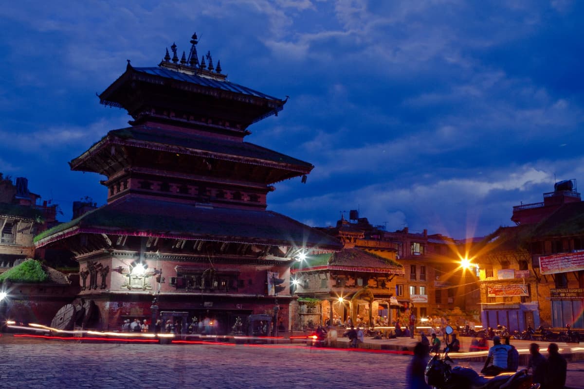
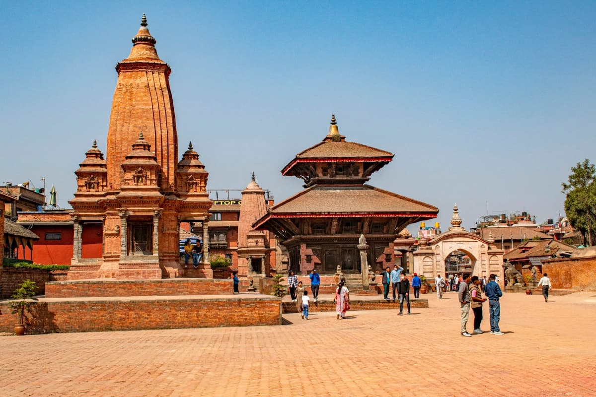
The Kathmandu Valley is one UNESCO World Heritage property, inscribed in 1979 and made up of seven monument zones. You can see the old royal squares, the great stupas and the big Hindu temples without getting on a plane, which is why most visitors start here.
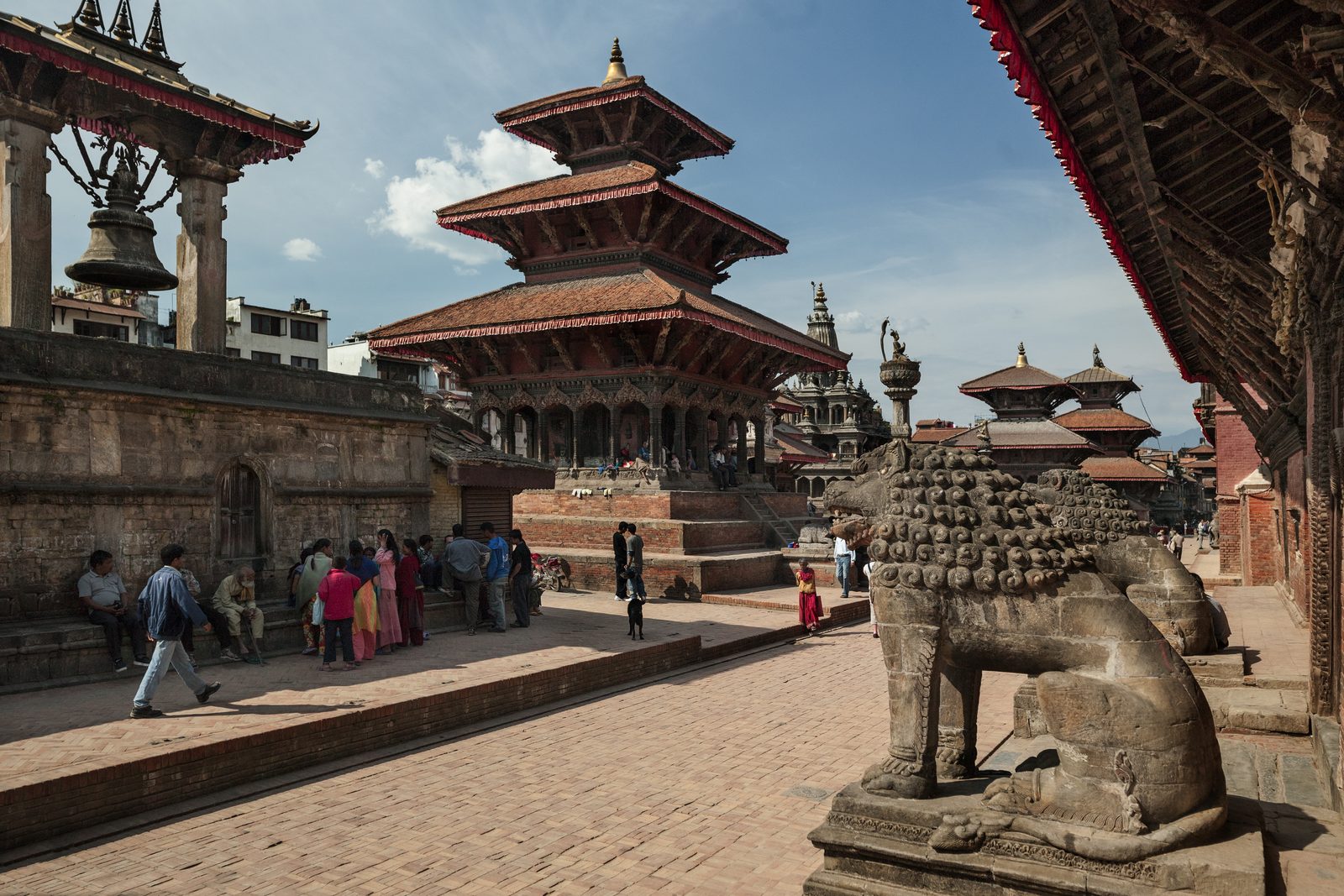
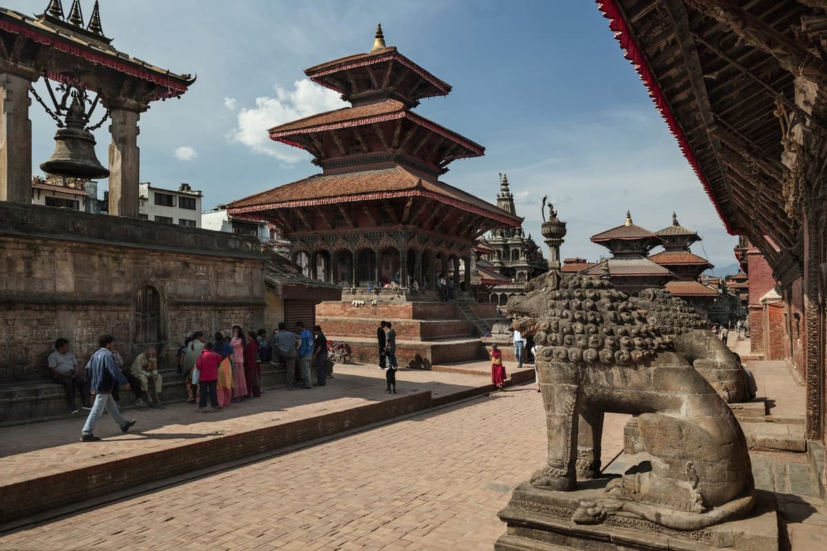
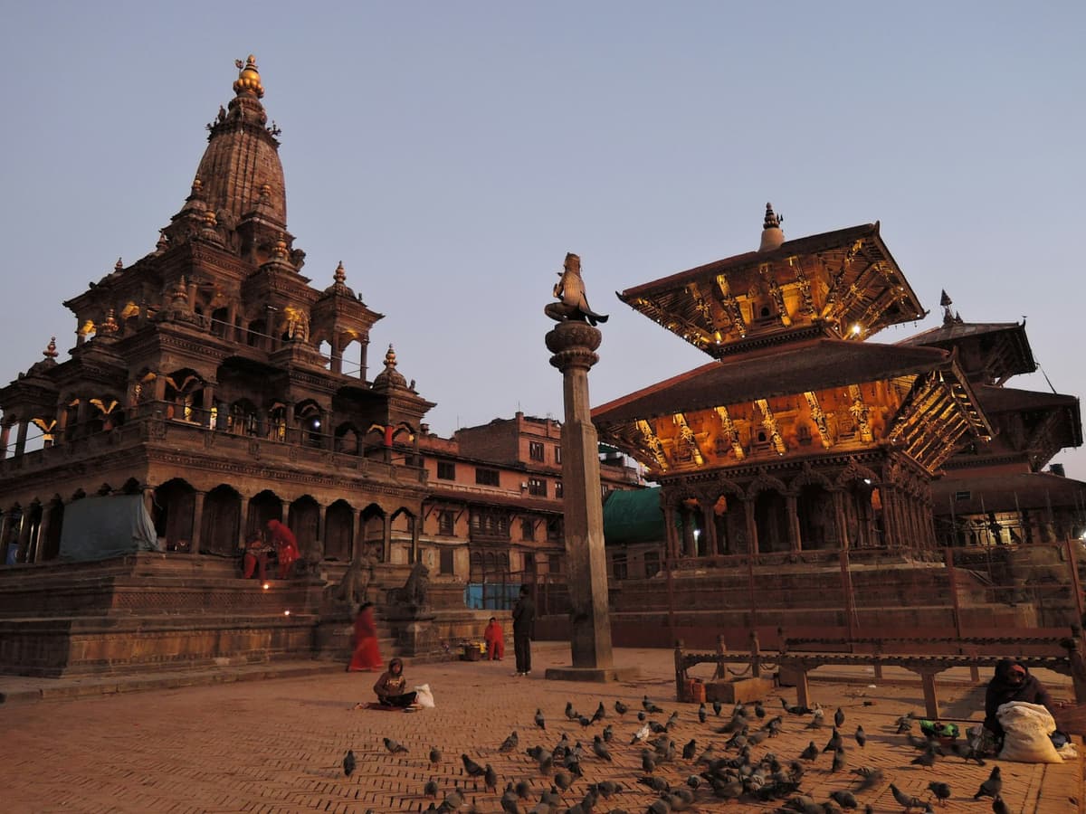
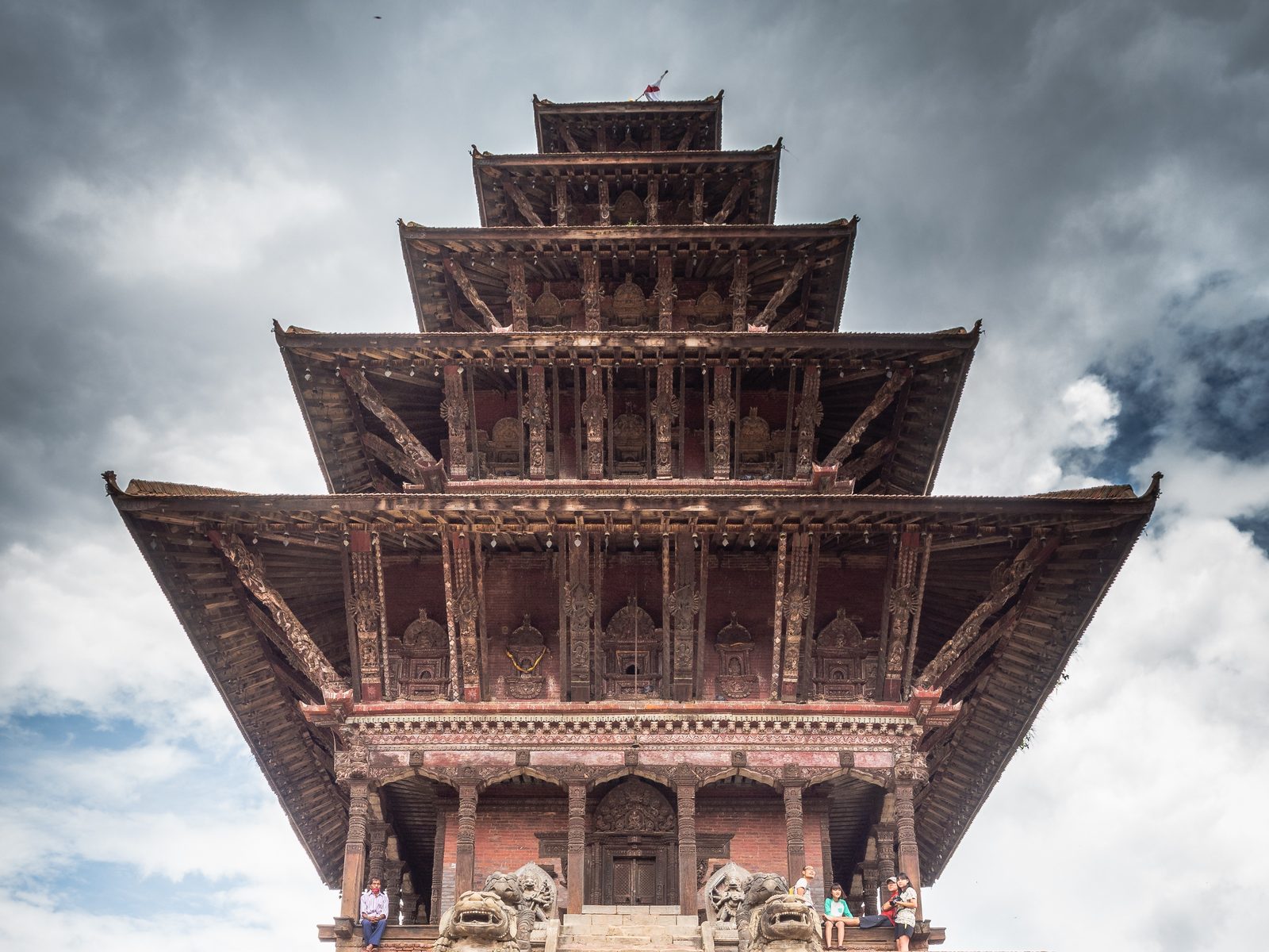
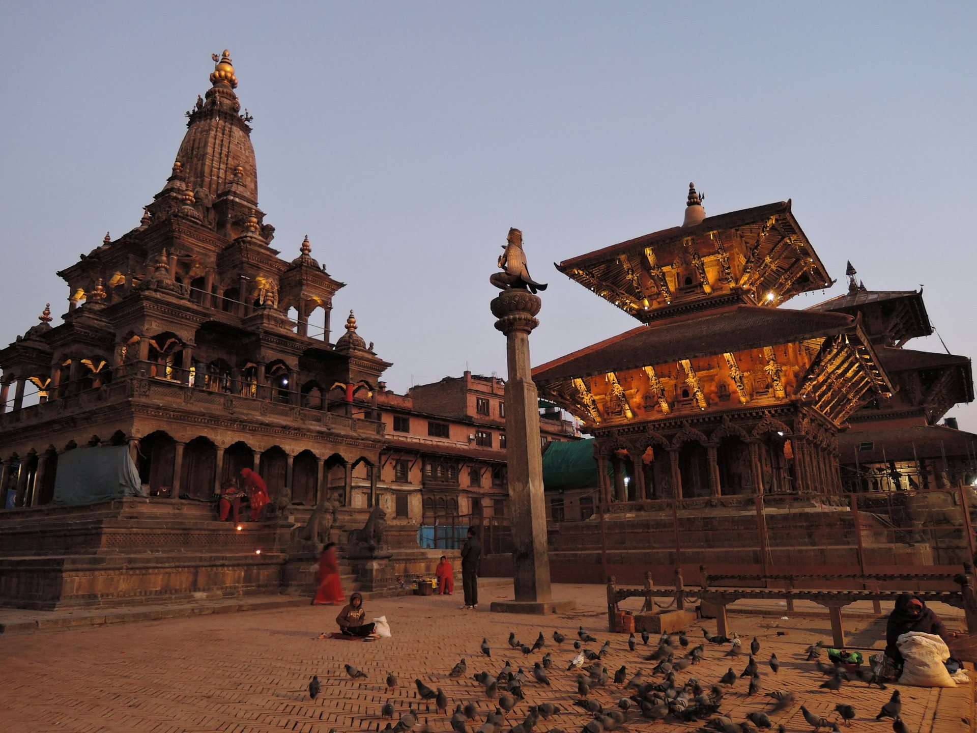
Patan Durbar Square with its tiered temples and stone lion guardian, in the Kathmandu Valley
Patan Durbar Square, one of the seven monument zones of the Kathmandu Valley.

The seven zones are the Durbar Squares of Kathmandu (Hanuman Dhoka), Patan and Bhaktapur, the Buddhist stupas of Swayambhu and Boudhanath, and the Hindu temples of Pashupati and Changu Narayan. These are working places, so walk with care around shrines and processions.

"The coexistence and amalgamation of Hinduism and Buddhism with animist rituals and Tantrism is considered unique."

UNESCO World Heritage Centre, Kathmandu Valley

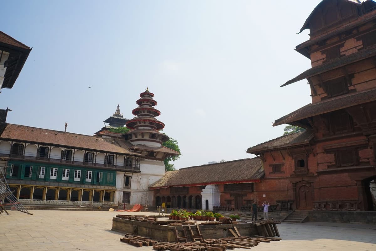
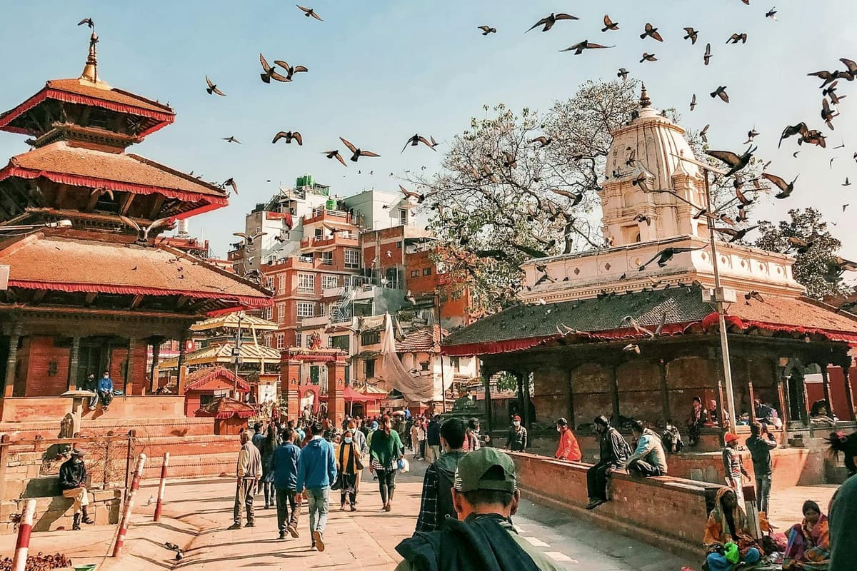
The three Durbar Squares. Kathmandu, Patan and Bhaktapur were once separate kingdoms, each with its own palace square. Kathmandu's is the busiest, Patan is known for its metalwork and carved windows, and Bhaktapur, in the east of the valley, feels most like an old town, with brick lanes and pottery squares.

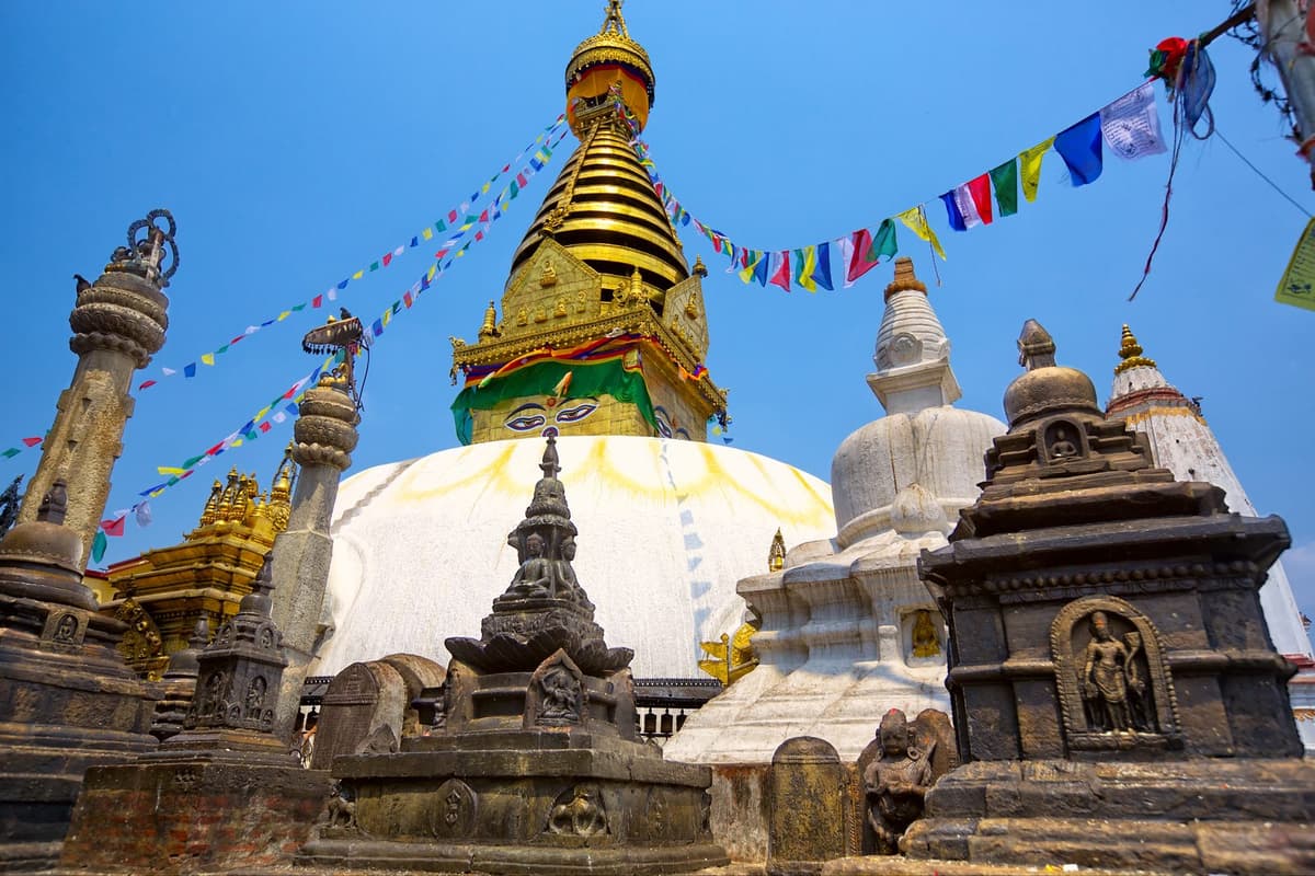
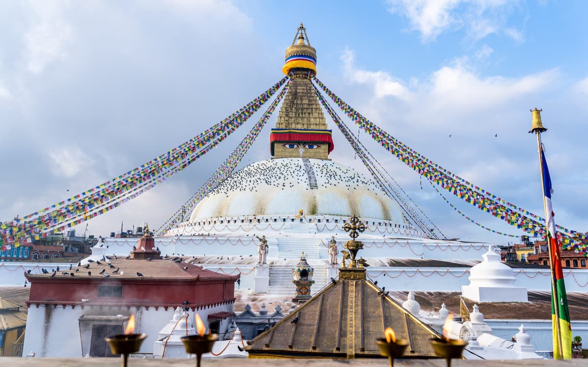
The two stupas. UNESCO says Swayambhu holds the oldest Buddhist monument in the valley, its stupa. It sits on a hill west of the city, with steps up through the trees and a wide view over Kathmandu. Boudhanath is the other great stupa: UNESCO describes it as "the largest stupa in Nepal", while NTB calls it the largest stupa in the Kathmandu Valley. Go late in the afternoon, when people walk clockwise around the dome and the lamps are lit.

The two Hindu temples. Pashupatinath, on the Bagmati river, is a great Shiva temple and a major Hindu pilgrimage site. Only Hindus may enter the main temple; others watch from the terraces on the east bank of the river. Cremations take place on the ghats below, so please do not photograph them or the mourners. Changu Narayan, on a ridge at the valley's eastern edge, is quieter, and UNESCO notes that it has one of the earliest inscriptions in the valley, from the fifth century AD.

What the entry fees are. Each site sets its own ticket. In Nepali rupees, foreign / SAARC: Kathmandu Durbar Square 1,000 / 500; Patan 1,000 / 500; Swayambhu 200 / 50; Boudha 400 / 100; Pashupati 1,000, with Indian and Nepali nationals free; Bhaktapur 2,000 / 500 since 17 July 2025. Changu Narayan's fee is reported as NPR 300 or NPR 400 for foreign visitors (NPR 100 or 300 for SAARC), so check at the gate.

The 2015 earthquake. You will still see scaffolding in places. By May 2025, 134 of the 174 structures damaged in 2015 in the valley's World Heritage zones had been rebuilt.

Above the valley. For a mountain view without leaving Kathmandu, the Chandragiri cable car climbs from Thankot, on the city's south-west edge, to about 2,550 m in roughly 10 minutes. Our Chandragiri cable car guide has the fares and the best time of day to go.

For a full list of temples, squares and walks, see our guide to places to visit in Kathmandu. If you want a guide to explain the history as you go, our cultural and heritage tours start in the valley.

Practical takeaway. Do the Durbar Squares in the morning, before the heat and the tour groups, and keep late afternoon for Boudhanath or Swayambhu. Carry small notes for tickets, and dress modestly at Pashupatinath.

Pokhara: lakes, viewpoints and the gateway to Annapurna

Pokhara lies at about 820 m above sea level, far lower than Kathmandu, and that is the first thing you notice: warmer air, more green and a slower pace.

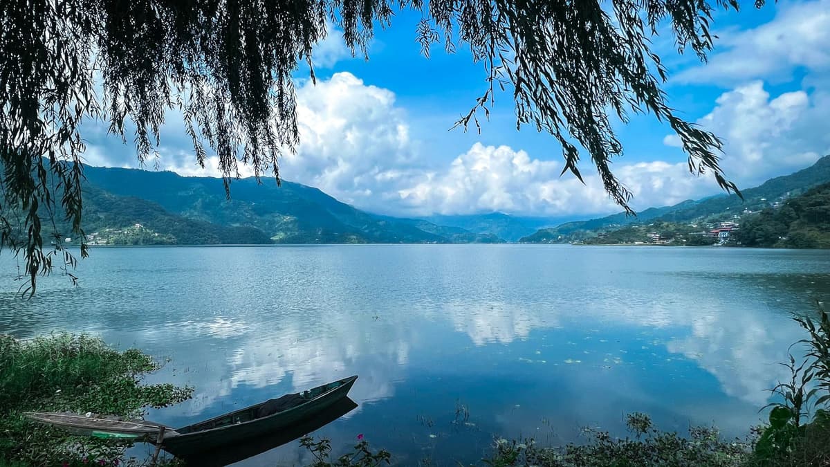
Phewa Lake is one of nine lakes in the Pokhara Valley that together form a Ramsar wetland of international importance, listed on 2 February 2016. Lakeside, along its eastern shore, is where the hotels, cafes and boat stands are. Hire a rowing boat in the early morning, when the water is calm and the mountains, if they are out, sit in the reflection.

Sarangkot. The classic sunrise viewpoint above Pokhara rises to 1,595 m. People drive up in the dark and watch the light reach the Annapurna range. On a clear autumn day it is the view people remember. In cloud, it is a cold wait, and nobody can promise the view.

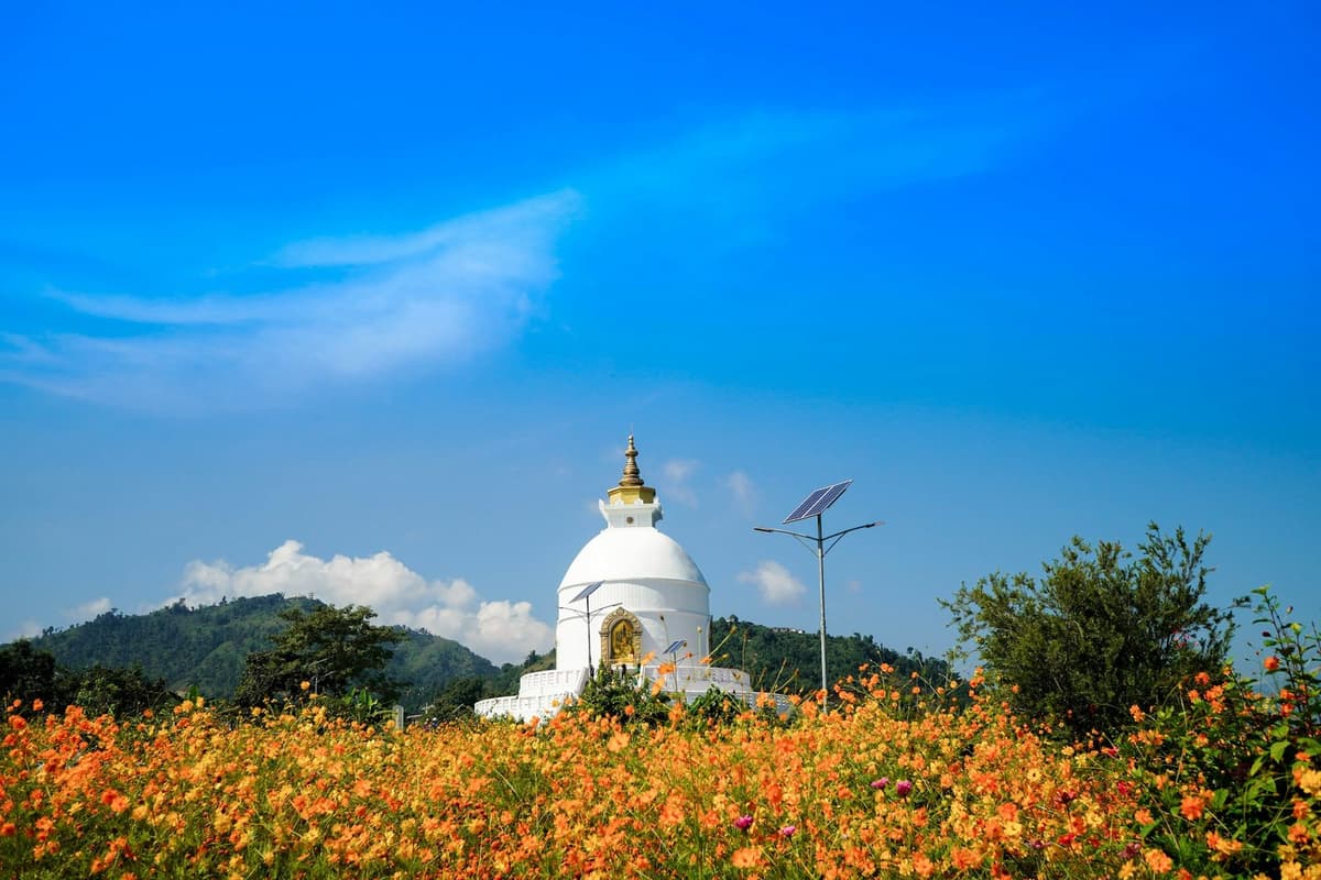
World Peace Pagoda. The white pagoda stands on a hilltop on the southern edge of Phewa Lake, with four Buddha images facing the four directions and views of the Annapurna range. You can reach it by road or by boat across the lake and a walk up through the forest.

Davis Falls. Known locally as Patale Chhango, "fall of the netherworld", the waterfall is about 2 km south-west of the old Pokhara airport and is named after a Swiss woman swept away by it in 1961.

The gateway role. Pokhara is the starting point for the Annapurna treks and for flights to Jomsom, so many people pass through twice, before and after a trek.

Getting there. Kathmandu to Pokhara takes most of a day by road, often six to nine hours with traffic and roadworks, or about 30 minutes by air. Pokhara International Airport, open since 1 January 2023, gained its first daily scheduled international service when flydubai began flying from Dubai on 23 September 2026; most other flights there are domestic. International flights are your own arrangement; we take over once you land.

Practical takeaway. Give Pokhara at least one clear morning. If Sarangkot is clouded in on the first day, try again the next, rather than driving up twice in one morning.

Chitwan and the lowlands: rhinos, tigers and Bardia

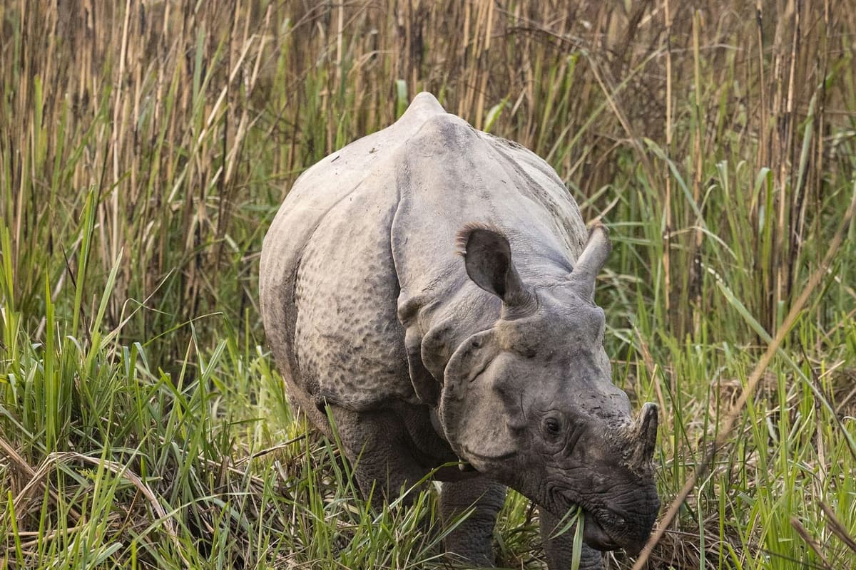
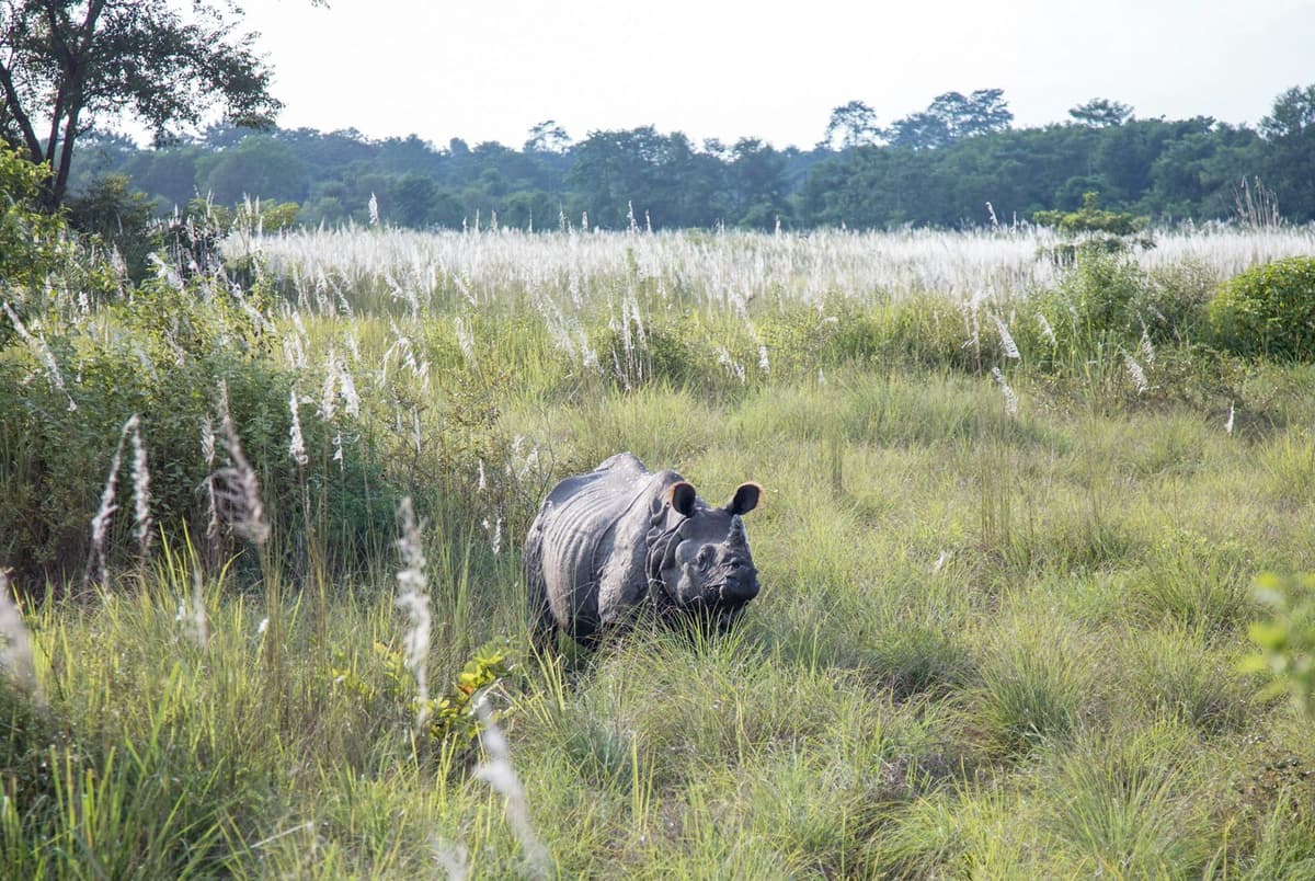
Chitwan National Park, Nepal's first national park (1973), was inscribed as a UNESCO World Heritage Site in 1984. UNESCO calls it "one of the last refuges of the Bengal Tiger" and home to one of the last populations of the single-horned Asiatic rhinoceros.
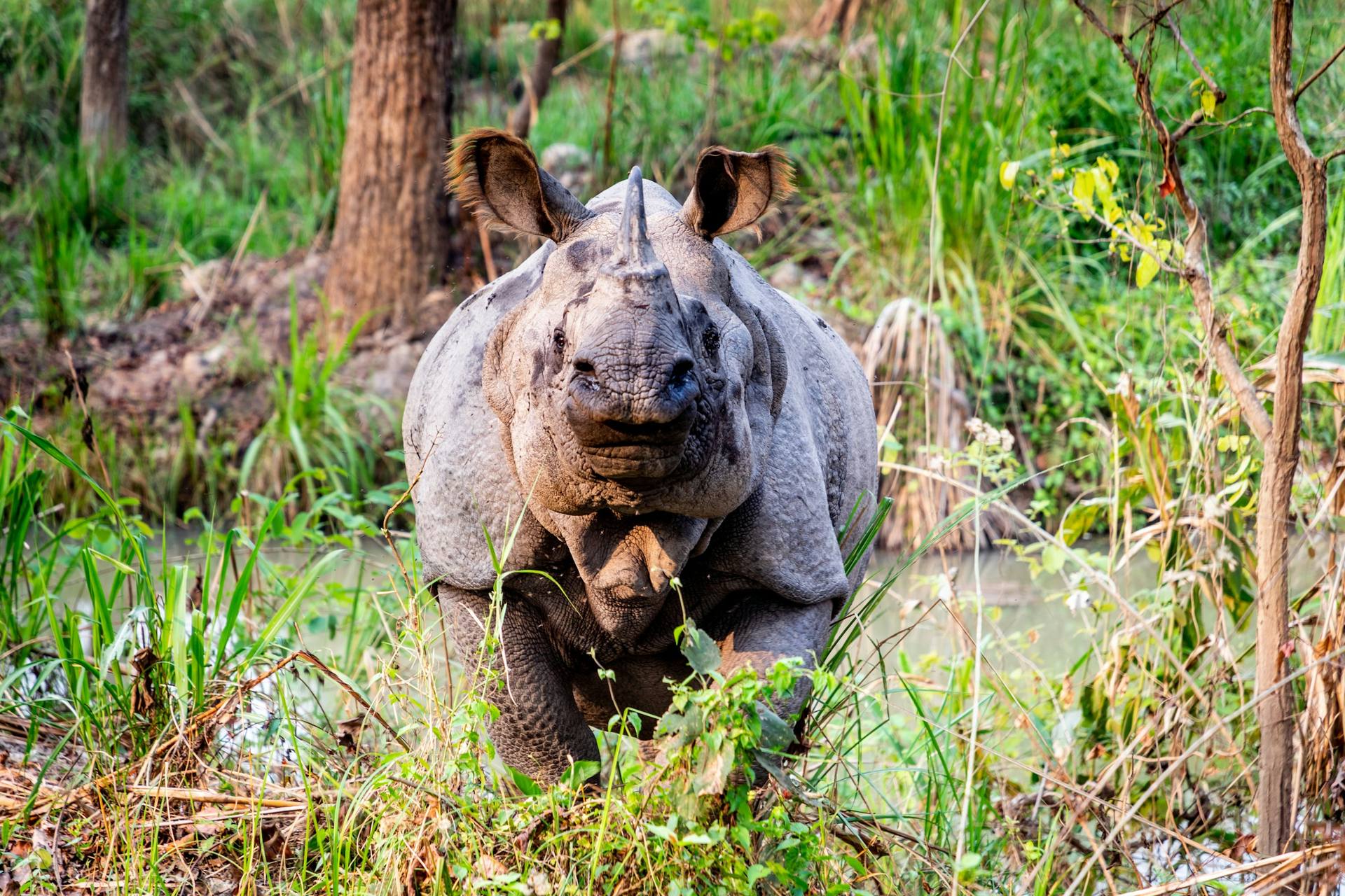
A one-horned rhino in the grass in Chitwan National Park
A one-horned rhino in Chitwan National Park.

The park covers 952.63 km² of grassland, river and sal forest in the southern lowlands. Chitwan has recorded more than 525 bird species and more than 50 mammal species. Nepal's 2021 rhino count found 752 greater one-horned rhinos, 694 of them in Chitwan, and it is the latest count. The national tiger survey released in July 2026 counted 429 tigers in Nepal, 145 of them in Chitwan. No sighting is certain: rhinos are seen far more often than tigers, which are shy and rarely seen.

Entry. Chitwan entry is NPR 2,000 for foreign visitors and NPR 1,000 for SAARC nationals, with one entry permit per park day; children under 10 enter free. On our trips, a park-certified guide takes you into the park. If you want a jeep safari, check the status before you book, as it was unconfirmed when we last checked.

Getting there. Kathmandu to Chitwan (Sauraha) is about 150 to 170 km by road, about five to seven hours, via Mugling. Flights to Bharatpur, the airport for Chitwan, take 20 to 25 minutes, then it is about 30 minutes' drive. Our Kathmandu to Chitwan guide compares bus, car and flight in detail.

For more depth, start with our Chitwan National Park guide, then see places to visit in Chitwan for the villages, river trips and community forests around the park.

Bardia, for the patient. Bardia National Park, in the far west, covers 968 km² and became a national park in 1988. It is quieter and harder to reach than Chitwan, and it had 112 tigers in the 2026 survey, down from 125 in 2022. Entry is NPR 1,500 for foreign visitors and NPR 750 for SAARC nationals.

Practical takeaway. Chitwan is hot outside the cooler months, so plan outings for early morning and late afternoon. Wear neutral colours, carry insect repellent and listen to your guide in the forest.

Lumbini and Janakpur: Nepal's pilgrimage plains

Lumbini, in the Terai plains of southern Nepal, was inscribed as a UNESCO World Heritage Site in 1997. In UNESCO's words, "The Lord Buddha was born in 623 BC in the sacred area of Lumbini located in the Terai plains of southern Nepal". UNESCO also calls it "one of the holiest places of one of the world's great religions".

What you see. The Maya Devi Temple marks the traditional birthplace of the Buddha, inside Lumbini's Sacred Garden, beside the pillar the emperor Ashoka set up in 249 BC.

Entry. Entry to the Maya Devi Temple area needs a ticket from the Lumbini Development Trust, with lower rates for Nepali, Indian and SAARC visitors; rates rose in May 2026, so check the current fee.

Getting there. Flights from Kathmandu to Bhairahawa (Gautam Buddha International Airport), the airport for Lumbini, take about 30 minutes, and Lumbini is about 30 minutes' drive from Bhairahawa. By road, it is a long day, usually eight to ten hours from Kathmandu. International services at Bhairahawa have been limited and irregular; in late 2025 Thai AirAsia (Bangkok, twice weekly) was the only regular international airline, so check current schedules before planning around it.

Janakpur. Janakpur, in the southern plains, is famous for the Janaki Mandir, a temple to Sita, and is a centre of Mithila culture. The present temple was completed in 1910, built by Queen Vrisha Bhanu of Tikamgarh in India. The Ram Janaki Temple is on UNESCO's Tentative List, which is a list of places Nepal has put forward, not a list of World Heritage Sites. Flights from Kathmandu to Janakpur take 30 to 40 minutes; by road, it is a long day, about 10 hours according to NTB.

Practical takeaway. The plains are hot for much of the year. Visit temples early or late, carry water and a hat, and remove shoes where asked.

The mountains: Everest, Annapurna, Mustang and Muktinath

You do not need to be a climber to see the Himalaya up close: the trekking regions have trails, lodges and villages, and Muktinath can be reached by road and air. A licensed guide walks with you on every trek we run.

Everest region

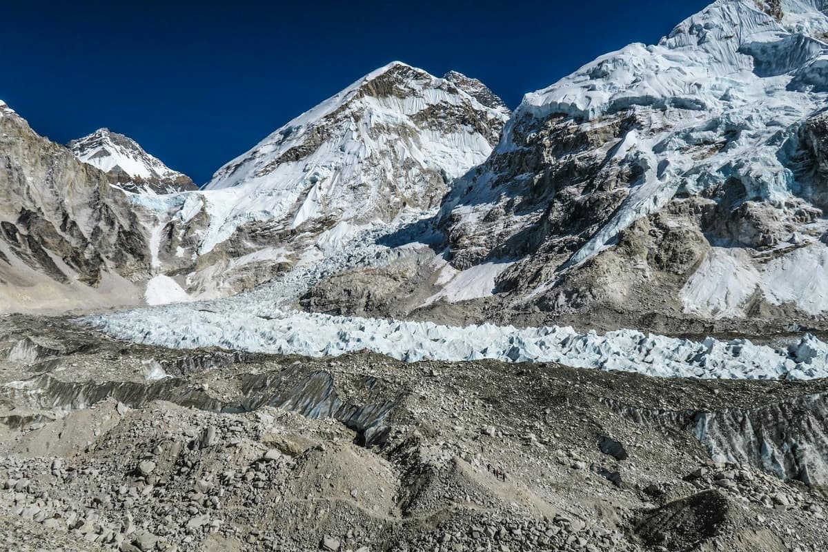
Sagarmatha National Park, home of Mount Everest, was inscribed as a UNESCO World Heritage Site in 1979 and covers 124,400 ha. Mount Everest is 8,848.86 m high, the figure announced jointly by Nepal and China in December 2020.

Most trekkers fly to Lukla, whose airstrip sits at 2,845 m. In the busiest months, Lukla flights may leave from Kathmandu or Ramechhap depending on the season; check your ticket. Mountain flights depend on the weather, so build in a spare day at the end of the trek.

Everest Base Camp sits at 5,364 m; trekkers visit it on a day walk and sleep lower, at Gorak Shep. The Sagarmatha National Park entry permit is NPR 3,000 for foreign visitors and NPR 1,500 for SAARC nationals, and the Khumbu Pasang Lhamu Rural Municipality Trek-Card is NPR 3,000 (NPR 2,000 for SAARC and Chinese nationals); we arrange both. For what a trek there really costs, see our Everest Base Camp trek cost breakdown.

Annapurna region

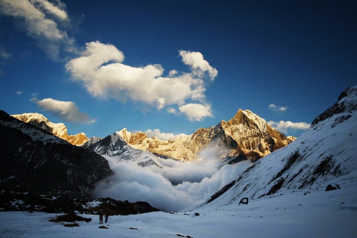
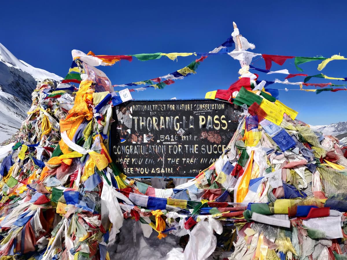
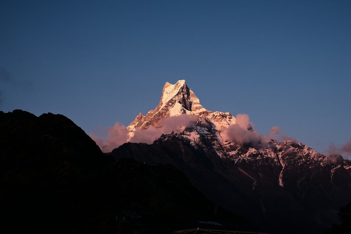
The Annapurna region is entered on the Annapurna Conservation Area Permit, NPR 3,000 for foreign visitors and NPR 1,000 for SAARC nationals. Popular destinations are the Poon Hill viewpoint (3,210 m), Annapurna Base Camp (4,130 m) and the Thorong La pass (5,416 m) on the Annapurna Circuit, below Annapurna I, a peak of 8,091 m. If you are thinking about the Circuit, check the current trail status: the Manang road was blocked beyond Chame in early October.

Poon Hill is the gentle introduction; Annapurna Base Camp takes you into a ring of peaks. Our Annapurna Base Camp trek cost guide covers permits, lodges and food, and best treks in Nepal compares the main routes by difficulty and season.

Mustang and Muktinath

Muktinath, in Mustang district, is sacred to both Hindus and Buddhists; Hindus worship Vishnu there and Buddhists worship Avalokiteshwara. Near the temple are 108 sacred water spouts where pilgrims bathe.
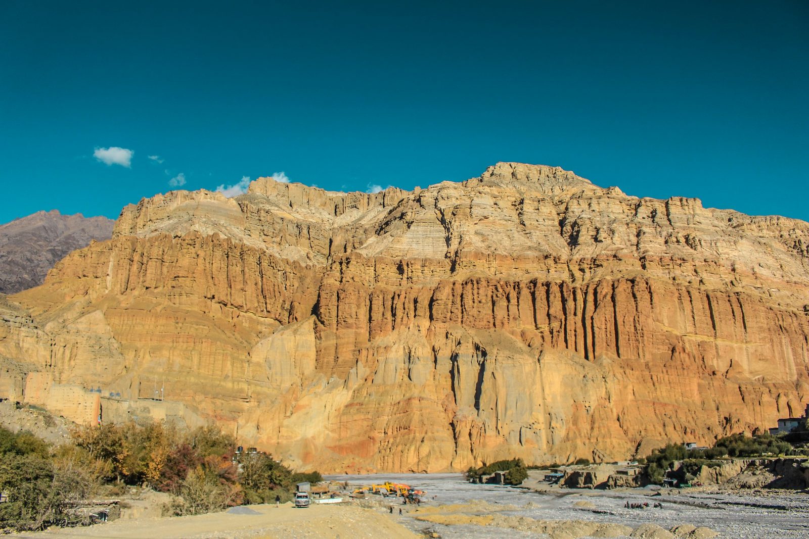
Eroded desert cliffs of Upper Mustang in Nepal
The dry, eroded cliffs of Upper Mustang, in the rain shadow of the Himalaya.

NTB gives Muktinath's altitude as about 3,800 m, so you are at real altitude on the day you visit. You can fly from Pokhara to Jomsom and go on by road, or travel by road all the way, as buses and jeeps now use the road from Beni through Jomsom. The Jomsom flight is short and leaves early in the morning, because strong winds usually stop flights later in the day. Weather cancellations are common, so allow a spare day. The Beni to Jomsom road was closed by floods in late September. It had partly reopened by mid-October 2026, with muddy and damaged stretches still causing delays (The Rising Nepal, 13 October 2026): ask us for the current status before you travel.

Muktinath sits inside the Annapurna Conservation Area, whose entry permit is NPR 3,000 for foreign visitors and NPR 1,000 for SAARC nationals; children under 10 are free. We arrange it.

Upper Mustang. North of Kagbeni, Upper Mustang is a restricted area, and its special permit costs USD 50 per person per day. Under Department of Immigration rules announced in March 2026, every applicant, including a solo traveller, applies through a registered trekking agency and travels with a licensed guide. Upper Mustang lies in the rain shadow of the Himalaya and gets about 250 to 400 mm of rain a year, so it can be visited during the monsoon. The walled city of Lo Manthang and the cave architecture of the Muktinath valley are on UNESCO's Tentative List.

Langtang

Langtang: check the current trail status before you book.

Practical takeaway for the mountains. Above about 2,450 m, altitude sickness can affect anyone, fit or not. Go up slowly. Above 3,000 m, do not raise your sleeping height by more than about 500 m a night, and take a rest day every three to four days. Walk slowly, drink plenty of water and skip alcohol for the first days. Know the symptoms: a headache, often with loss of appetite, nausea, dizziness or unusual tiredness. Never go higher with symptoms, and go down if they get worse. Ask your doctor before the trip about preventive medicine such as acetazolamide; we never suggest a dose. Garlic soup and hot soups are a comforting local tradition, not a proven cure. If symptoms are severe, descend at once; your guide arranges rescue. Our guide on how to avoid altitude sickness explains each step.

Hill towns: Nagarkot, Bandipur, Dhulikhel, Gorkha, Tansen and Ilam

Nepal's hill towns give you mountain air, old bazaars and village walks without a trek. Some are an hour from Kathmandu, others most of a day.

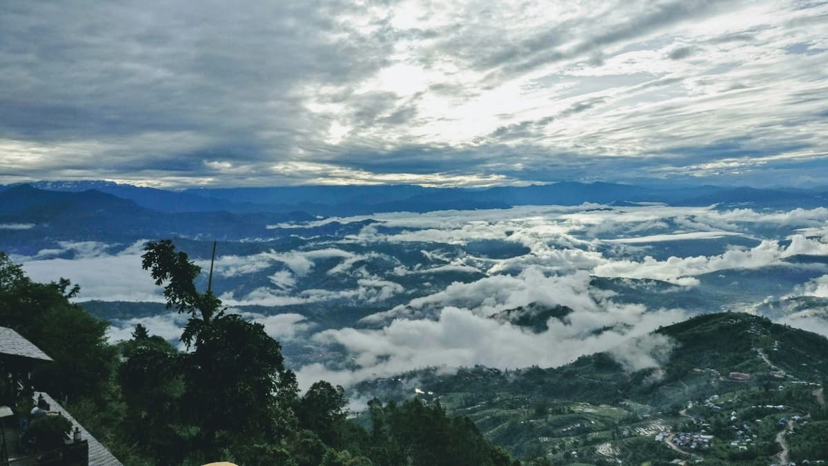
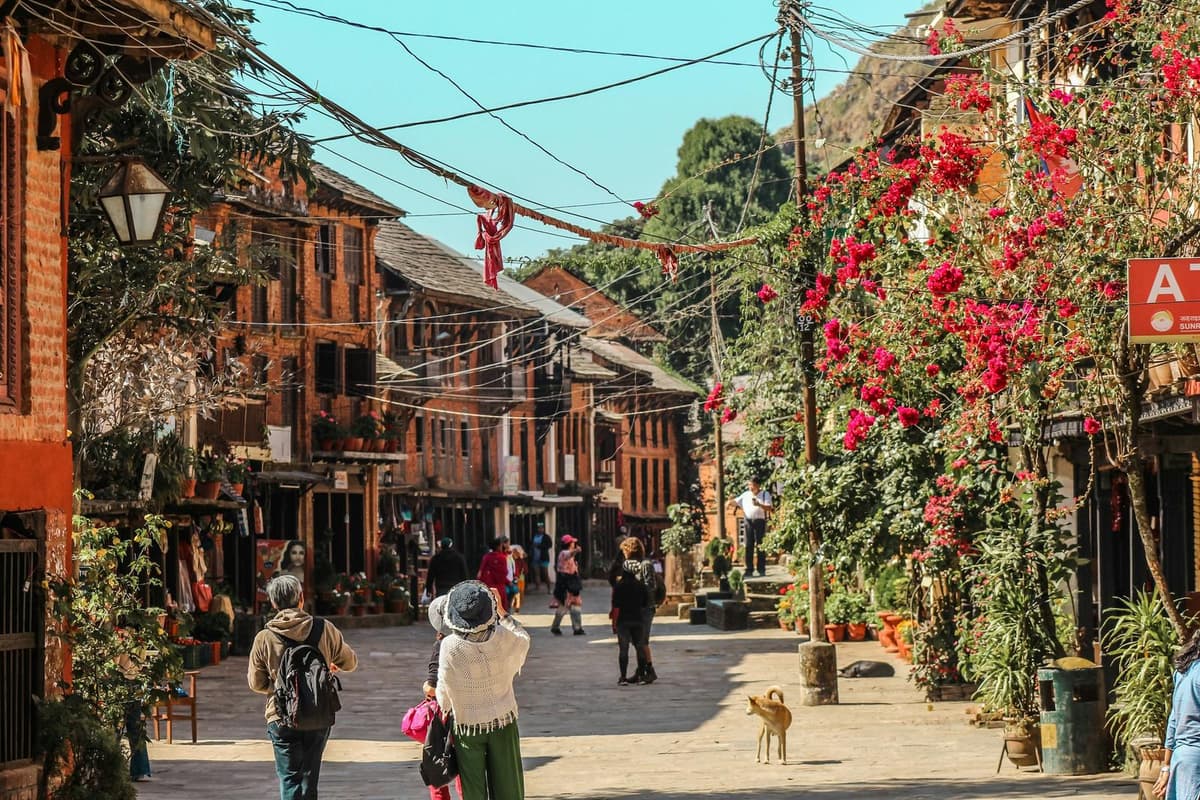
Nagarkot. A sunrise viewpoint on the valley rim, at about 2,100 to 2,200 m. It is about 32 km from Kathmandu (NTB), and the drive usually takes one and a half to two hours, depending on traffic. It is the easiest overnight escape from the city. Our Nagarkot guide covers the drive, the viewpoints and the walk down to Changu Narayan.

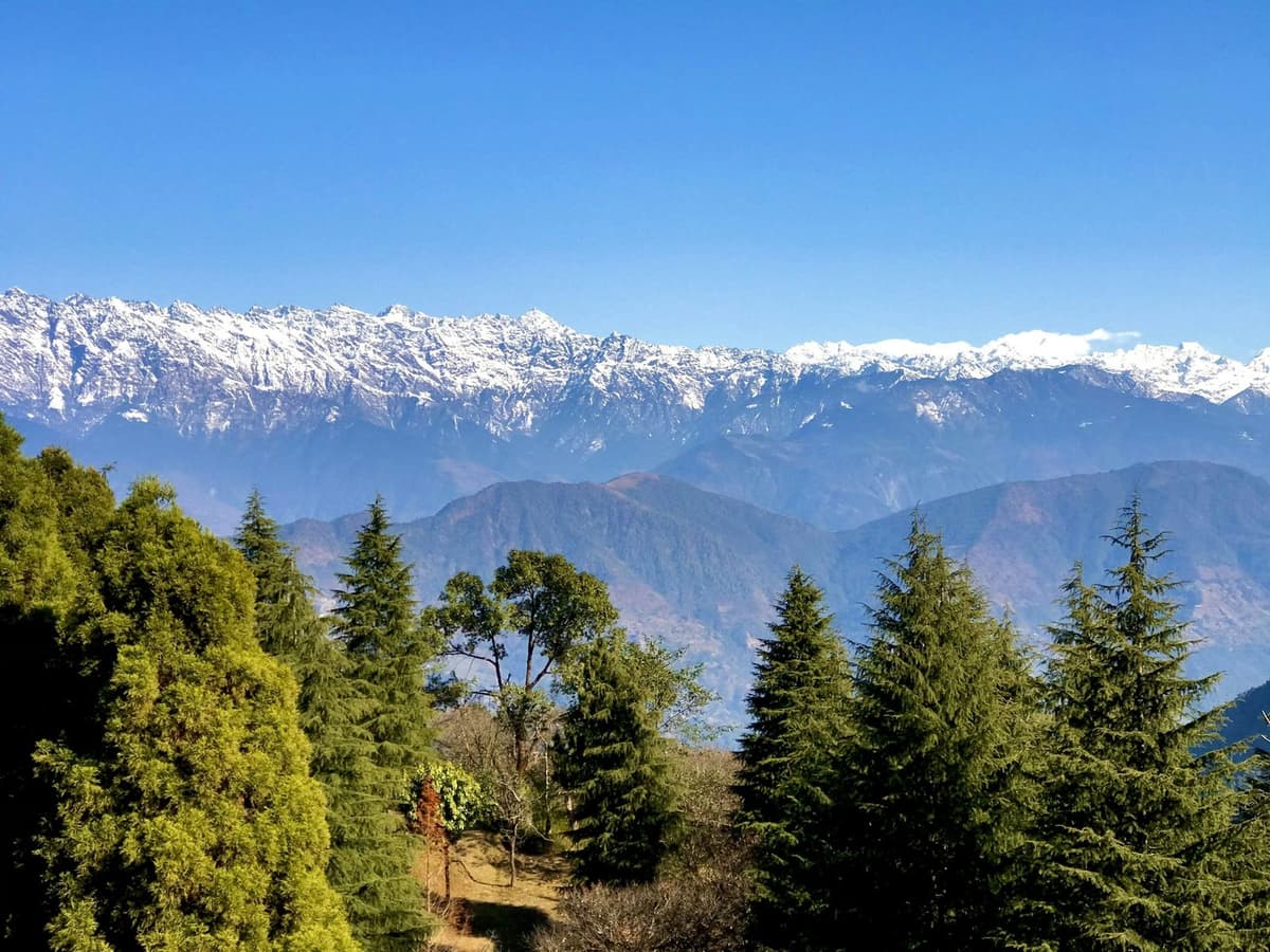
Dhulikhel. About 30 km south-east of Kathmandu on the Araniko Highway, Dhulikhel sits at about 1,550 m and is about an hour's drive away. On clear days it has a wide Himalayan view.

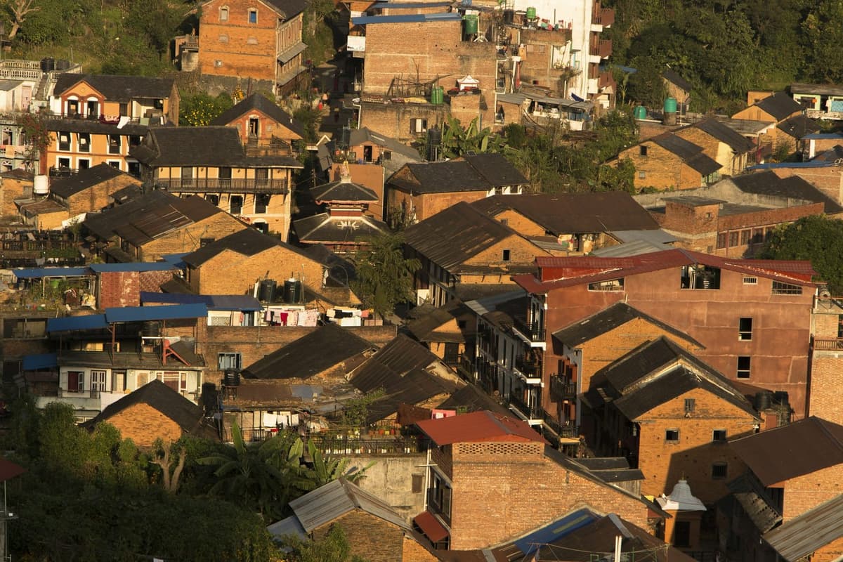
Bandipur. Bandipur sits at about 1,000 m, and Kathmandu to Bandipur takes five to six hours by road. Its main street is traffic-free, lined with old trading houses, and it sits a short drive above the Prithvi Highway, so it breaks the drive to Pokhara well. See our Bandipur guide.

Manakamana. The Manakamana cable car has carried pilgrims up to the hilltop temple since 24 November 1998. The lower station is at Kurintar on the Prithvi Highway, and the ride takes about 10 minutes. The operator says the temple stands on a hill of about 1,300 m and lists adult return fares of USD 20 for foreign visitors, USD 10 for SAARC and Chinese visitors and NPR 770 for Nepalis, "subject to change".

Gorkha. Gorkha is the birthplace of King Prithvi Narayan Shah, the unifier of Nepal, and is about 4 hours from Kathmandu by bus; its hilltop palace, Gorkha Durbar, was built in the 16th century by Ram Shah at about 1,000 m. The walk up from the bazaar is steep. Gorkha's palace is on UNESCO's Tentative List.

Tansen. Tansen, an old hill town in Palpa between Pokhara and the Indian border, is on UNESCO's Tentative List; NTB puts it at 8 to 10 hours by bus from Kathmandu and about 7 hours from Pokhara. It makes a quiet stop between Pokhara and Lumbini.

Ilam. Ilam, in the far east, is Nepal's tea district; NTB says most of the land is covered in tea bushes, and the district ranges from 140 m to 3,636 m. It is a long way from Kathmandu: about 18 hours by bus, or a flight to Bhadrapur of about 1 hour and then 3 to 4 hours by road.

For a side-by-side comparison of heights, drives and seasons, see our guide to hill stations in Nepal.

Practical takeaway. Temperatures drop by about 6 °C for every 1,000 m you climb, so a hill town can be much colder than Kathmandu or Pokhara. Pack a warm layer for evenings and sunrise, even in spring.

Lakes and the far west: Rara, Phoksundo and Gosaikunda

Rara. Rara, in the far north-west, is the largest lake in Nepal. It lies at roughly 2,900 to 3,000 m. NTB's route is to fly Kathmandu to Nepalgunj (1 hour), Nepalgunj to Talcha airport (35 minutes), then walk 2 hours to the lake; NTB's best seasons are February to April and October to November. Rara National Park entry is NPR 3,000 for foreign visitors and NPR 1,500 for SAARC nationals.
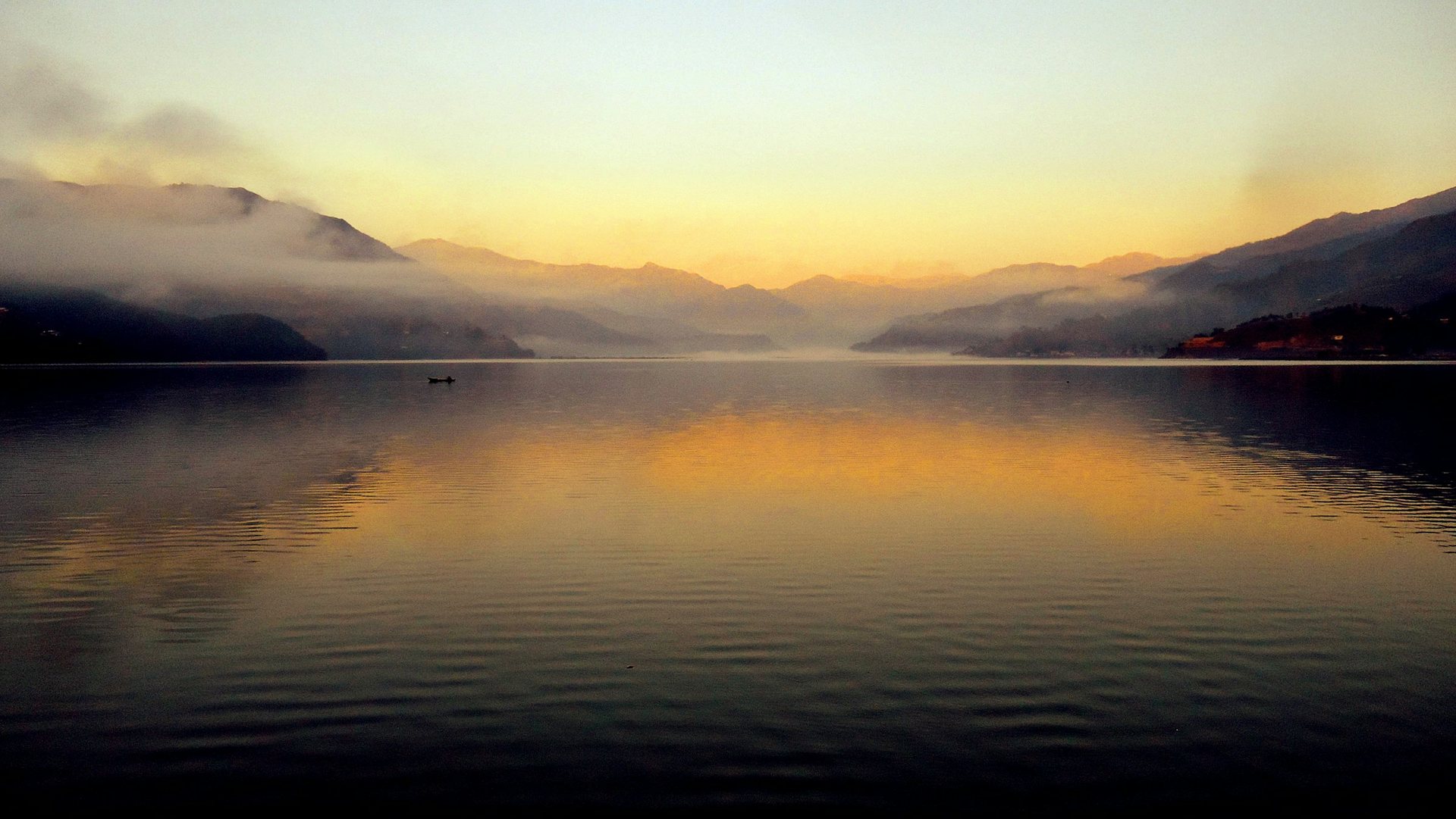
Golden sunset reflected on Phewa Lake, Pokhara
Phewa Lake at sunset, Pokhara.

Phoksundo. Phoksundo, in Shey Phoksundo National Park in Dolpo, is the deepest lake in Nepal. Reaching it is a trek, not a drive, and the lake sits above 3,500 m.

Gosaikunda. Gosaikunda is a group of sacred lakes in Langtang National Park, at about 4,054 to 4,620 m, holy to Hindus and Buddhists; the main lake is at about 4,380 m. The trail starts in Rasuwa, so check the current trail status before you book. At that height, follow the altitude advice in the mountains section above.

Practical takeaway. Remote lakes depend on small planes and mountain weather. Build in spare days at both ends, and carry enough Nepali cash before you set out, because cash machines can be scarce or out of service in remote areas.

How many days do you need to see Nepal's main places?

It depends on how much you want to combine. Kathmandu alone needs several days for the main monument zones. Adding Pokhara and Chitwan, which link most easily with Kathmandu, makes a comfortable first trip. Adding Lumbini, Muktinath or a trek stretches it further, because each needs its own travel days.

These are the combinations we plan most often, without fixed day counts, because your pace and the season change everything:

  • Kathmandu and the valley rim. The Durbar Squares, stupas and Pashupatinath, with a night in Nagarkot or Dhulikhel.
  • Kathmandu, Pokhara and Chitwan. The classic loop: heritage, lakes and wildlife, linked by road or short flights. Our Golden Triangle tour follows this route.
  • The pilgrimage circuit. Kathmandu and Pashupatinath, then Muktinath via Pokhara and Jomsom, and Lumbini or Janakpur on the plains. Allow spare days for the Jomsom flight.
  • City plus a short trek. Kathmandu, then Pokhara and a short trek such as Poon Hill.
  • Kathmandu and Everest. A trek in the Khumbu, with a spare day for Lukla flights.

If you want several cities in one plan, our classic multi-city tours show how the main places fit together, and we adjust them to your days.

When is the best time to visit Nepal's tourist places?

October and November give the clearest skies, according to Nepal Tourism Board, because they come after the monsoon. Spring is the other main season, when the rhododendrons bloom. Winter is dry and good for the lowlands and valleys; the monsoon brings heavy rain to most places except the rain-shadow north.

Autumn. October and November are the busiest months, and Dashain and Tihar, Nepal's biggest festivals, fall then. In 2026, Dashain begins with Ghatasthapana on 11 October, and its main day, Vijaya Dashami, falls on 21 October; Tihar follows in November.

Spring. NTB calls spring "the time for rhododendrons to bloom". Afternoons are often hazier than in autumn.

Winter. Winter (December to February) is dry and cold at night: at the Kathmandu airport weather station, January nights average 2.8 °C (1991 to 2020 normals). High passes may close with snow.

Monsoon. About 80% of Nepal's rain falls in the monsoon, from June to September. The monsoon normally arrives around 13 June and withdraws around 2 October, but the dates move every year; from 2020 to 2025 it withdrew later than 2 October each year. Upper Mustang, in the rain shadow, is the exception.

Our best time to visit Nepal guide goes month by month.

Getting around between the main places

Roads are slow, and short domestic flights save a day on some routes. NTB notes that "Tourist bus services provide easy transportation to prime areas like Pokhara and Chitwan".

Route By road By air
Kathmandu to Pokhara Most of a day, often six to nine hours with traffic and roadworks About 30 minutes
Kathmandu to Chitwan (Sauraha) About 150 to 170 km, about five to seven hours, via Mugling 20 to 25 minutes to Bharatpur, then about 30 minutes' drive
Kathmandu to Lumbini A long day, usually eight to ten hours About 30 minutes to Bhairahawa, then about 30 minutes' drive
Pokhara to Lumbini About six to eight hours by tourist bus Not covered by our sources; ask us
Kathmandu to Janakpur A long day, about 10 hours (NTB) 30 to 40 minutes
Pokhara to Jomsom (for Muktinath) Buses and jeeps use the road from Beni through Jomsom; check the road status A short early-morning flight; allow a spare day
Kathmandu to Lukla (Everest) Most trekkers fly From Kathmandu or Ramechhap depending on the season; check your ticket
Kathmandu to Bandipur Five to six hours No flight
Kathmandu to Gorkha About 4 hours by bus No flight
Kathmandu to Nepalgunj (for Rara) Not covered by our sources; ask us 1 hour, then 35 minutes on to Talcha

For the wider picture on money, SIM cards and safety, see our Nepal travel guide.

For Indian travellers: entry and money

India was the largest source of visitors in 2025, with 292,438 arrivals, about a quarter of the total. Many Indians who cross the open border overland are not counted, so the real number of Indian visitors is higher.

For ASEAN and long-haul visitors. Most visitors can get a tourist visa on arrival; NTB lists the fees as USD 30 for 15 days, USD 50 for 30 days and USD 125 for 90 days, all multiple entry. Children under 10 get a free visa (except US citizens), and SAARC citizens get a free visa for up to 30 days on their first visit in a visa year; Chinese nationals also get a free visa. Check the NTB page before you fly.

Practical advice: altitude, roads, festivals and cash

Altitude. Muktinath, at about 3,800 m according to NTB, and the trekking regions are high. Go up slowly, never go higher with symptoms, and descend if they get worse.

Road delays. Landslides, roadworks and traffic can add hours, especially during and just after the monsoon. Do not plan a flight on the same day as a long drive, and keep a spare day before you fly home.

Festival crowds. Around the main days of Dashain and Tihar, many Nepalis travel home, buses and hotels fill up and some shops close. Book transport and rooms early.

Cash. Carry Nepali rupees for entry tickets, small cafes and anything outside the cities, because cards are not accepted everywhere and cash machines are fewer outside Kathmandu and Pokhara.

Food and water. Drink boiled, filtered or treated water rather than tap water, and eat freshly cooked hot food. Dal bhat, rice with lentil soup and vegetables, is everywhere, and vegetarian food is easy to find.

Read next: things to do in Pokhara, day trips from Kathmandu, Sauraha in Chitwan, Nepal pilgrimage guide, Ghandruk village guide, Phewa Lake guide and Kathmandu Durbar Square guide.

Frequently asked questions

What are the most famous tourist places in Nepal?

The most famous are the Kathmandu Valley's Durbar Squares, stupas and temples, Pokhara and Phewa Lake, Chitwan National Park, Lumbini, and the Everest and Annapurna regions. Four of these are UNESCO World Heritage Sites: the Kathmandu Valley, Sagarmatha National Park, Chitwan National Park and Lumbini. Pashupatinath, Muktinath and Janakpur are major Hindu pilgrimage places, and Nagarkot and Bandipur are popular hill towns.

How many UNESCO World Heritage Sites does Nepal have?

Nepal has four places on the UNESCO World Heritage List: the Kathmandu Valley, Sagarmatha National Park, Chitwan National Park and Lumbini. The Kathmandu Valley and Sagarmatha were inscribed in 1979, Chitwan in 1984 and Lumbini in 1997. Nepal also has 15 more sites on UNESCO's Tentative List, including Tansen, Lo Manthang and the Ram Janaki Temple, but those are not World Heritage Sites.

Do Indians need a visa for Nepal?

No. Indian nationals do not need a visa to enter Nepal. You do need accepted ID: NTB lists a valid Indian passport or an Election Commission of India voter card, with other documents allowed for people over 65 and under 18. NTB says Aadhaar is not accepted, so carry a passport or voter card and check with your airline. Entry is your own arrangement; see the official NTB visa page.

Which is better, Pokhara or Kathmandu?

They do different jobs, so most visitors see both. Kathmandu is for history: seven UNESCO monument zones in one valley. Pokhara, at about 820 m, is for lakes, mountain views and rest, and it is the gateway to the Annapurna treks. If you only have time for one, choose Kathmandu for culture and Pokhara for scenery and a slower pace.

What is the best time to visit Nepal's tourist places?

October and November give the clearest skies, according to Nepal Tourism Board, and spring is the other main season, when rhododendrons bloom. Winter suits the lowlands, valleys and Pokhara. The monsoon, from June to September, brings about 80% of the year's rain, though Upper Mustang, in the rain shadow, can be visited then.

Plan your trip with us

Tell us how many days you have, when you are coming and what matters most: temples, lakes, wildlife, pilgrimage or mountains. We will suggest a route that fits, arrange the in-country transport, hotels and permits, and send you a clear quote. Visas and international flights stay your own arrangement.

Send us a message on WhatsApp or through our enquiry form with your dates and interests, and our Kathmandu team will reply with a suggested route.

For more on every area in this guide, browse Uncover Nepal Insights.

Last checked: 10 October 2026
Tags
Nepal tourist placesKathmandu ValleyPokharaChitwan National ParkLumbiniUNESCO World Heritage
Share
U
Uncover Nepal Team
Writer at Uncover Nepal
More in PlacesSee all Places

Nepal Tourist Places: Where to Go and Why

28 min read Posted 10 Oct 2026Updated 27 Oct 2026
Nepal Tourist Places: Where to Go and Why

Uncover Nepal Team · Last checked: 10 October 2026

On a clear autumn morning in Pokhara, the snow peaks are out before Lakeside is awake. Nepal Tourism Board says that from Pokhara, mountains above 6,000 m can be seen unobstructed within 28 km. In Kathmandu, about 200 km east, Patan's courtyards are already busy with people on their way to the temples.

The short answer. The main Nepal tourist places are the temples and Durbar Squares of the Kathmandu Valley, the lake city of Pokhara, Chitwan National Park, Lumbini, where the Buddha was born, and the Everest and Annapurna regions. Four places on this list are UNESCO World Heritage Sites. Kathmandu, Pokhara and Chitwan are the easiest to link on a first trip.

This is the hub page of Uncover Nepal Insights for where to go, and each section below points you to a deeper article on that area. We write from Kathmandu, where we run trips every season, so this is the list we would give a friend: what each place is like, how to get there, when to go and the official entry fee.

Key facts

UNESCO World Heritage Sites
Four: Kathmandu Valley, Sagarmatha National Park, Chitwan National Park, Lumbini (UNESCO World Heritage Centre, 10 Oct 2026)
Visitors in 2025
1,158,459 international visitors, preliminary figure (Kantipur / Kathmandu Post, citing NTB and the Immigration Office, 10 Oct 2026)
Largest market in 2025
India, 292,438 arrivals, about a quarter of the total (Kantipur, citing NTB, 10 Oct 2026)
Clearest skies
After the monsoon, in October and November (Nepal Tourism Board, Climate, 10 Oct 2026)
Visa for Indian nationals
Not needed; accepted ID required (Nepal Tourism Board, Tourist Visa, 10 Oct 2026)
Visa fees (most others)
USD 30 for 15 days, USD 50 for 30 days, USD 125 for 90 days (Nepal Tourism Board, Tourist Visa, 10 Oct 2026)
Kathmandu to Pokhara
Most of a day by road, often six to nine hours; about 30 minutes by air (Uncover Nepal operations; Buddha Air, 10 Oct 2026)
Kathmandu to Chitwan (Sauraha)
About 150 to 170 km, about five to seven hours by road (NTB, Kathmandu Post, Uncover Nepal operations, 10 Oct 2026)
Height of the main bases
Kathmandu airport 1,337 m; Pokhara about 820 m (DHM 1991 to 2020 normals; NTB, DHM, 10 Oct 2026)

In this guide

  • Nepal tourist places at a glance
  • Kathmandu Valley
  • Pokhara
  • Chitwan and the lowlands
  • Lumbini and Janakpur
  • The mountains: Everest, Annapurna, Mustang and Muktinath, Langtang
  • Hill towns
  • Lakes and the far west
  • How many days you need
  • When to go
  • Getting around
  • For Indian travellers
  • Practical advice
  • Frequently asked questions

Nepal tourist places at a glance

Travel times are from Kathmandu. Fees are official ones only, foreign / SAARC in Nepali rupees (NPR) unless marked; they change, so check at the gate.

Place Best for Getting there from Kathmandu Time needed Best season Official entry fee
Kathmandu Valley Temples, stupas, old royal squares You are already there Several days to see the main zones Autumn and spring Kathmandu Durbar Square 1,000 / 500; Patan 1,000 / 500; Bhaktapur 2,000 / 500
Pokhara Lakes, mountain views, a slower pace Six to nine hours by road; about 30 minutes by air At least an overnight October and November for clear skies No single fee; small fees at some sights, paid at the gate
Chitwan National Park Rhinos, birds, jungle About five to seven hours by road; 20 to 25 minutes by air to Bharatpur Overnight or longer Autumn and spring 2,000 / 1,000, one entry permit per park day
Lumbini Birthplace of the Buddha About 30 minutes by air to Bhairahawa, then about 30 minutes by road; eight to ten hours by road A full day on site Autumn and spring Ticket from the Lumbini Development Trust; check the current fee
Janakpur Janaki Mandir, Mithila culture 30 to 40 minutes by air; about 10 hours by road Overnight Autumn and spring No official fee found; check locally
Muktinath Hindu and Buddhist pilgrimage, high desert Via Pokhara, then a short morning flight to Jomsom and on by road, or by road via Beni Several days with the journey Autumn and spring Annapurna Conservation Area Permit 3,000 / 1,000
Upper Mustang Walled villages, rain-shadow landscape Via Pokhara and Jomsom, north of Kagbeni A full trek Can be visited in the monsoon Restricted-area permit USD 50 per person per day, plus the conservation area permit
Everest region Sherpa villages, Everest views, Base Camp Flight to Lukla airstrip, 2,845 m, from Kathmandu or Ramechhap by season A full trek Autumn and spring Sagarmatha National Park 3,000 / 1,500; Trek-Card 3,000 / 2,000
Annapurna region Poon Hill, Annapurna Base Camp Trails start from the Pokhara side Short treks to longer ones Autumn and spring Annapurna Conservation Area Permit 3,000 / 1,000
Nagarkot Sunrise over the Himalaya About 32 km; usually 1.5 to 2 hours by road, depending on traffic Overnight October and November No official fee found
Bandipur Car-free old bazaar, ridge walks Five to six hours by road Overnight Autumn and spring No official fee found
Manakamana Hilltop temple by cable car Lower station at Kurintar on the Prithvi Highway Half a day off the highway All year when the cable car runs Cable car return: USD 20 foreign, USD 10 SAARC and Chinese, NPR 770 Nepali; check before you go
Rara Lake Remote lake, quiet trails Fly to Nepalgunj (1 hour), on to Talcha (35 minutes), walk 2 hours Several days February to April, October to November Rara National Park 3,000 / 1,500

Kathmandu Valley: seven monument zones in one valley

The Kathmandu Valley is one UNESCO World Heritage property, inscribed in 1979 and made up of seven monument zones. You can see the old royal squares, the great stupas and the big Hindu temples without getting on a plane, which is why most visitors start here.

Patan Durbar Square with its tiered temples and stone lion guardian, in the Kathmandu Valley
Patan Durbar Square, one of the seven monument zones of the Kathmandu Valley.

The seven zones are the Durbar Squares of Kathmandu (Hanuman Dhoka), Patan and Bhaktapur, the Buddhist stupas of Swayambhu and Boudhanath, and the Hindu temples of Pashupati and Changu Narayan. These are working places, so walk with care around shrines and processions.

"The coexistence and amalgamation of Hinduism and Buddhism with animist rituals and Tantrism is considered unique."

UNESCO World Heritage Centre, Kathmandu Valley

The three Durbar Squares. Kathmandu, Patan and Bhaktapur were once separate kingdoms, each with its own palace square. Kathmandu's is the busiest, Patan is known for its metalwork and carved windows, and Bhaktapur, in the east of the valley, feels most like an old town, with brick lanes and pottery squares.

The two stupas. UNESCO says Swayambhu holds the oldest Buddhist monument in the valley, its stupa. It sits on a hill west of the city, with steps up through the trees and a wide view over Kathmandu. Boudhanath is the other great stupa: UNESCO describes it as "the largest stupa in Nepal", while NTB calls it the largest stupa in the Kathmandu Valley. Go late in the afternoon, when people walk clockwise around the dome and the lamps are lit.

The two Hindu temples. Pashupatinath, on the Bagmati river, is a great Shiva temple and a major Hindu pilgrimage site. Only Hindus may enter the main temple; others watch from the terraces on the east bank of the river. Cremations take place on the ghats below, so please do not photograph them or the mourners. Changu Narayan, on a ridge at the valley's eastern edge, is quieter, and UNESCO notes that it has one of the earliest inscriptions in the valley, from the fifth century AD.

What the entry fees are. Each site sets its own ticket. In Nepali rupees, foreign / SAARC: Kathmandu Durbar Square 1,000 / 500; Patan 1,000 / 500; Swayambhu 200 / 50; Boudha 400 / 100; Pashupati 1,000, with Indian and Nepali nationals free; Bhaktapur 2,000 / 500 since 17 July 2025. Changu Narayan's fee is reported as NPR 300 or NPR 400 for foreign visitors (NPR 100 or 300 for SAARC), so check at the gate.

The 2015 earthquake. You will still see scaffolding in places. By May 2025, 134 of the 174 structures damaged in 2015 in the valley's World Heritage zones had been rebuilt.

Above the valley. For a mountain view without leaving Kathmandu, the Chandragiri cable car climbs from Thankot, on the city's south-west edge, to about 2,550 m in roughly 10 minutes. Our Chandragiri cable car guide has the fares and the best time of day to go.

For a full list of temples, squares and walks, see our guide to places to visit in Kathmandu. If you want a guide to explain the history as you go, our cultural and heritage tours start in the valley.

Practical takeaway. Do the Durbar Squares in the morning, before the heat and the tour groups, and keep late afternoon for Boudhanath or Swayambhu. Carry small notes for tickets, and dress modestly at Pashupatinath.

Pokhara: lakes, viewpoints and the gateway to Annapurna

Pokhara lies at about 820 m above sea level, far lower than Kathmandu, and that is the first thing you notice: warmer air, more green and a slower pace.

Phewa Lake is one of nine lakes in the Pokhara Valley that together form a Ramsar wetland of international importance, listed on 2 February 2016. Lakeside, along its eastern shore, is where the hotels, cafes and boat stands are. Hire a rowing boat in the early morning, when the water is calm and the mountains, if they are out, sit in the reflection.

Sarangkot. The classic sunrise viewpoint above Pokhara rises to 1,595 m. People drive up in the dark and watch the light reach the Annapurna range. On a clear autumn day it is the view people remember. In cloud, it is a cold wait, and nobody can promise the view.

World Peace Pagoda. The white pagoda stands on a hilltop on the southern edge of Phewa Lake, with four Buddha images facing the four directions and views of the Annapurna range. You can reach it by road or by boat across the lake and a walk up through the forest.

Davis Falls. Known locally as Patale Chhango, "fall of the netherworld", the waterfall is about 2 km south-west of the old Pokhara airport and is named after a Swiss woman swept away by it in 1961.

The gateway role. Pokhara is the starting point for the Annapurna treks and for flights to Jomsom, so many people pass through twice, before and after a trek.

Getting there. Kathmandu to Pokhara takes most of a day by road, often six to nine hours with traffic and roadworks, or about 30 minutes by air. Pokhara International Airport, open since 1 January 2023, gained its first daily scheduled international service when flydubai began flying from Dubai on 23 September 2026; most other flights there are domestic. International flights are your own arrangement; we take over once you land.

Practical takeaway. Give Pokhara at least one clear morning. If Sarangkot is clouded in on the first day, try again the next, rather than driving up twice in one morning.

Chitwan and the lowlands: rhinos, tigers and Bardia

Chitwan National Park, Nepal's first national park (1973), was inscribed as a UNESCO World Heritage Site in 1984. UNESCO calls it "one of the last refuges of the Bengal Tiger" and home to one of the last populations of the single-horned Asiatic rhinoceros.

A one-horned rhino in the grass in Chitwan National Park
A one-horned rhino in Chitwan National Park.

The park covers 952.63 km² of grassland, river and sal forest in the southern lowlands. Chitwan has recorded more than 525 bird species and more than 50 mammal species. Nepal's 2021 rhino count found 752 greater one-horned rhinos, 694 of them in Chitwan, and it is the latest count. The national tiger survey released in July 2026 counted 429 tigers in Nepal, 145 of them in Chitwan. No sighting is certain: rhinos are seen far more often than tigers, which are shy and rarely seen.

Entry. Chitwan entry is NPR 2,000 for foreign visitors and NPR 1,000 for SAARC nationals, with one entry permit per park day; children under 10 enter free. On our trips, a park-certified guide takes you into the park. If you want a jeep safari, check the status before you book, as it was unconfirmed when we last checked.

Getting there. Kathmandu to Chitwan (Sauraha) is about 150 to 170 km by road, about five to seven hours, via Mugling. Flights to Bharatpur, the airport for Chitwan, take 20 to 25 minutes, then it is about 30 minutes' drive. Our Kathmandu to Chitwan guide compares bus, car and flight in detail.

For more depth, start with our Chitwan National Park guide, then see places to visit in Chitwan for the villages, river trips and community forests around the park.

Bardia, for the patient. Bardia National Park, in the far west, covers 968 km² and became a national park in 1988. It is quieter and harder to reach than Chitwan, and it had 112 tigers in the 2026 survey, down from 125 in 2022. Entry is NPR 1,500 for foreign visitors and NPR 750 for SAARC nationals.

Practical takeaway. Chitwan is hot outside the cooler months, so plan outings for early morning and late afternoon. Wear neutral colours, carry insect repellent and listen to your guide in the forest.

Lumbini and Janakpur: Nepal's pilgrimage plains

Lumbini, in the Terai plains of southern Nepal, was inscribed as a UNESCO World Heritage Site in 1997. In UNESCO's words, "The Lord Buddha was born in 623 BC in the sacred area of Lumbini located in the Terai plains of southern Nepal". UNESCO also calls it "one of the holiest places of one of the world's great religions".

What you see. The Maya Devi Temple marks the traditional birthplace of the Buddha, inside Lumbini's Sacred Garden, beside the pillar the emperor Ashoka set up in 249 BC.

Entry. Entry to the Maya Devi Temple area needs a ticket from the Lumbini Development Trust, with lower rates for Nepali, Indian and SAARC visitors; rates rose in May 2026, so check the current fee.

Getting there. Flights from Kathmandu to Bhairahawa (Gautam Buddha International Airport), the airport for Lumbini, take about 30 minutes, and Lumbini is about 30 minutes' drive from Bhairahawa. By road, it is a long day, usually eight to ten hours from Kathmandu. International services at Bhairahawa have been limited and irregular; in late 2025 Thai AirAsia (Bangkok, twice weekly) was the only regular international airline, so check current schedules before planning around it.

Janakpur. Janakpur, in the southern plains, is famous for the Janaki Mandir, a temple to Sita, and is a centre of Mithila culture. The present temple was completed in 1910, built by Queen Vrisha Bhanu of Tikamgarh in India. The Ram Janaki Temple is on UNESCO's Tentative List, which is a list of places Nepal has put forward, not a list of World Heritage Sites. Flights from Kathmandu to Janakpur take 30 to 40 minutes; by road, it is a long day, about 10 hours according to NTB.

Practical takeaway. The plains are hot for much of the year. Visit temples early or late, carry water and a hat, and remove shoes where asked.

The mountains: Everest, Annapurna, Mustang and Muktinath

You do not need to be a climber to see the Himalaya up close: the trekking regions have trails, lodges and villages, and Muktinath can be reached by road and air. A licensed guide walks with you on every trek we run.

Everest region

Sagarmatha National Park, home of Mount Everest, was inscribed as a UNESCO World Heritage Site in 1979 and covers 124,400 ha. Mount Everest is 8,848.86 m high, the figure announced jointly by Nepal and China in December 2020.

Most trekkers fly to Lukla, whose airstrip sits at 2,845 m. In the busiest months, Lukla flights may leave from Kathmandu or Ramechhap depending on the season; check your ticket. Mountain flights depend on the weather, so build in a spare day at the end of the trek.

Everest Base Camp sits at 5,364 m; trekkers visit it on a day walk and sleep lower, at Gorak Shep. The Sagarmatha National Park entry permit is NPR 3,000 for foreign visitors and NPR 1,500 for SAARC nationals, and the Khumbu Pasang Lhamu Rural Municipality Trek-Card is NPR 3,000 (NPR 2,000 for SAARC and Chinese nationals); we arrange both. For what a trek there really costs, see our Everest Base Camp trek cost breakdown.

Annapurna region

The Annapurna region is entered on the Annapurna Conservation Area Permit, NPR 3,000 for foreign visitors and NPR 1,000 for SAARC nationals. Popular destinations are the Poon Hill viewpoint (3,210 m), Annapurna Base Camp (4,130 m) and the Thorong La pass (5,416 m) on the Annapurna Circuit, below Annapurna I, a peak of 8,091 m. If you are thinking about the Circuit, check the current trail status: the Manang road was blocked beyond Chame in early October.

Poon Hill is the gentle introduction; Annapurna Base Camp takes you into a ring of peaks. Our Annapurna Base Camp trek cost guide covers permits, lodges and food, and best treks in Nepal compares the main routes by difficulty and season.

Mustang and Muktinath

Muktinath, in Mustang district, is sacred to both Hindus and Buddhists; Hindus worship Vishnu there and Buddhists worship Avalokiteshwara. Near the temple are 108 sacred water spouts where pilgrims bathe.

Eroded desert cliffs of Upper Mustang in Nepal
The dry, eroded cliffs of Upper Mustang, in the rain shadow of the Himalaya.

NTB gives Muktinath's altitude as about 3,800 m, so you are at real altitude on the day you visit. You can fly from Pokhara to Jomsom and go on by road, or travel by road all the way, as buses and jeeps now use the road from Beni through Jomsom. The Jomsom flight is short and leaves early in the morning, because strong winds usually stop flights later in the day. Weather cancellations are common, so allow a spare day. The Beni to Jomsom road was closed by floods in late September. It had partly reopened by mid-October 2026, with muddy and damaged stretches still causing delays (The Rising Nepal, 13 October 2026): ask us for the current status before you travel.

Muktinath sits inside the Annapurna Conservation Area, whose entry permit is NPR 3,000 for foreign visitors and NPR 1,000 for SAARC nationals; children under 10 are free. We arrange it.

Upper Mustang. North of Kagbeni, Upper Mustang is a restricted area, and its special permit costs USD 50 per person per day. Under Department of Immigration rules announced in March 2026, every applicant, including a solo traveller, applies through a registered trekking agency and travels with a licensed guide. Upper Mustang lies in the rain shadow of the Himalaya and gets about 250 to 400 mm of rain a year, so it can be visited during the monsoon. The walled city of Lo Manthang and the cave architecture of the Muktinath valley are on UNESCO's Tentative List.

Langtang

Langtang: check the current trail status before you book.

Practical takeaway for the mountains. Above about 2,450 m, altitude sickness can affect anyone, fit or not. Go up slowly. Above 3,000 m, do not raise your sleeping height by more than about 500 m a night, and take a rest day every three to four days. Walk slowly, drink plenty of water and skip alcohol for the first days. Know the symptoms: a headache, often with loss of appetite, nausea, dizziness or unusual tiredness. Never go higher with symptoms, and go down if they get worse. Ask your doctor before the trip about preventive medicine such as acetazolamide; we never suggest a dose. Garlic soup and hot soups are a comforting local tradition, not a proven cure. If symptoms are severe, descend at once; your guide arranges rescue. Our guide on how to avoid altitude sickness explains each step.

Hill towns: Nagarkot, Bandipur, Dhulikhel, Gorkha, Tansen and Ilam

Nepal's hill towns give you mountain air, old bazaars and village walks without a trek. Some are an hour from Kathmandu, others most of a day.

Nagarkot. A sunrise viewpoint on the valley rim, at about 2,100 to 2,200 m. It is about 32 km from Kathmandu (NTB), and the drive usually takes one and a half to two hours, depending on traffic. It is the easiest overnight escape from the city. Our Nagarkot guide covers the drive, the viewpoints and the walk down to Changu Narayan.

Dhulikhel. About 30 km south-east of Kathmandu on the Araniko Highway, Dhulikhel sits at about 1,550 m and is about an hour's drive away. On clear days it has a wide Himalayan view.

Bandipur. Bandipur sits at about 1,000 m, and Kathmandu to Bandipur takes five to six hours by road. Its main street is traffic-free, lined with old trading houses, and it sits a short drive above the Prithvi Highway, so it breaks the drive to Pokhara well. See our Bandipur guide.

Manakamana. The Manakamana cable car has carried pilgrims up to the hilltop temple since 24 November 1998. The lower station is at Kurintar on the Prithvi Highway, and the ride takes about 10 minutes. The operator says the temple stands on a hill of about 1,300 m and lists adult return fares of USD 20 for foreign visitors, USD 10 for SAARC and Chinese visitors and NPR 770 for Nepalis, "subject to change".

Gorkha. Gorkha is the birthplace of King Prithvi Narayan Shah, the unifier of Nepal, and is about 4 hours from Kathmandu by bus; its hilltop palace, Gorkha Durbar, was built in the 16th century by Ram Shah at about 1,000 m. The walk up from the bazaar is steep. Gorkha's palace is on UNESCO's Tentative List.

Tansen. Tansen, an old hill town in Palpa between Pokhara and the Indian border, is on UNESCO's Tentative List; NTB puts it at 8 to 10 hours by bus from Kathmandu and about 7 hours from Pokhara. It makes a quiet stop between Pokhara and Lumbini.

Ilam. Ilam, in the far east, is Nepal's tea district; NTB says most of the land is covered in tea bushes, and the district ranges from 140 m to 3,636 m. It is a long way from Kathmandu: about 18 hours by bus, or a flight to Bhadrapur of about 1 hour and then 3 to 4 hours by road.

For a side-by-side comparison of heights, drives and seasons, see our guide to hill stations in Nepal.

Practical takeaway. Temperatures drop by about 6 °C for every 1,000 m you climb, so a hill town can be much colder than Kathmandu or Pokhara. Pack a warm layer for evenings and sunrise, even in spring.

Lakes and the far west: Rara, Phoksundo and Gosaikunda

Rara. Rara, in the far north-west, is the largest lake in Nepal. It lies at roughly 2,900 to 3,000 m. NTB's route is to fly Kathmandu to Nepalgunj (1 hour), Nepalgunj to Talcha airport (35 minutes), then walk 2 hours to the lake; NTB's best seasons are February to April and October to November. Rara National Park entry is NPR 3,000 for foreign visitors and NPR 1,500 for SAARC nationals.

Golden sunset reflected on Phewa Lake, Pokhara
Phewa Lake at sunset, Pokhara.

Phoksundo. Phoksundo, in Shey Phoksundo National Park in Dolpo, is the deepest lake in Nepal. Reaching it is a trek, not a drive, and the lake sits above 3,500 m.

Gosaikunda. Gosaikunda is a group of sacred lakes in Langtang National Park, at about 4,054 to 4,620 m, holy to Hindus and Buddhists; the main lake is at about 4,380 m. The trail starts in Rasuwa, so check the current trail status before you book. At that height, follow the altitude advice in the mountains section above.

Practical takeaway. Remote lakes depend on small planes and mountain weather. Build in spare days at both ends, and carry enough Nepali cash before you set out, because cash machines can be scarce or out of service in remote areas.

How many days do you need to see Nepal's main places?

It depends on how much you want to combine. Kathmandu alone needs several days for the main monument zones. Adding Pokhara and Chitwan, which link most easily with Kathmandu, makes a comfortable first trip. Adding Lumbini, Muktinath or a trek stretches it further, because each needs its own travel days.

These are the combinations we plan most often, without fixed day counts, because your pace and the season change everything:

  • Kathmandu and the valley rim. The Durbar Squares, stupas and Pashupatinath, with a night in Nagarkot or Dhulikhel.
  • Kathmandu, Pokhara and Chitwan. The classic loop: heritage, lakes and wildlife, linked by road or short flights. Our Golden Triangle tour follows this route.
  • The pilgrimage circuit. Kathmandu and Pashupatinath, then Muktinath via Pokhara and Jomsom, and Lumbini or Janakpur on the plains. Allow spare days for the Jomsom flight.
  • City plus a short trek. Kathmandu, then Pokhara and a short trek such as Poon Hill.
  • Kathmandu and Everest. A trek in the Khumbu, with a spare day for Lukla flights.

If you want several cities in one plan, our classic multi-city tours show how the main places fit together, and we adjust them to your days.

When is the best time to visit Nepal's tourist places?

October and November give the clearest skies, according to Nepal Tourism Board, because they come after the monsoon. Spring is the other main season, when the rhododendrons bloom. Winter is dry and good for the lowlands and valleys; the monsoon brings heavy rain to most places except the rain-shadow north.

Autumn. October and November are the busiest months, and Dashain and Tihar, Nepal's biggest festivals, fall then. In 2026, Dashain begins with Ghatasthapana on 11 October, and its main day, Vijaya Dashami, falls on 21 October; Tihar follows in November.

Spring. NTB calls spring "the time for rhododendrons to bloom". Afternoons are often hazier than in autumn.

Winter. Winter (December to February) is dry and cold at night: at the Kathmandu airport weather station, January nights average 2.8 °C (1991 to 2020 normals). High passes may close with snow.

Monsoon. About 80% of Nepal's rain falls in the monsoon, from June to September. The monsoon normally arrives around 13 June and withdraws around 2 October, but the dates move every year; from 2020 to 2025 it withdrew later than 2 October each year. Upper Mustang, in the rain shadow, is the exception.

Our best time to visit Nepal guide goes month by month.

Getting around between the main places

Roads are slow, and short domestic flights save a day on some routes. NTB notes that "Tourist bus services provide easy transportation to prime areas like Pokhara and Chitwan".

Route By road By air
Kathmandu to Pokhara Most of a day, often six to nine hours with traffic and roadworks About 30 minutes
Kathmandu to Chitwan (Sauraha) About 150 to 170 km, about five to seven hours, via Mugling 20 to 25 minutes to Bharatpur, then about 30 minutes' drive
Kathmandu to Lumbini A long day, usually eight to ten hours About 30 minutes to Bhairahawa, then about 30 minutes' drive
Pokhara to Lumbini About six to eight hours by tourist bus Not covered by our sources; ask us
Kathmandu to Janakpur A long day, about 10 hours (NTB) 30 to 40 minutes
Pokhara to Jomsom (for Muktinath) Buses and jeeps use the road from Beni through Jomsom; check the road status A short early-morning flight; allow a spare day
Kathmandu to Lukla (Everest) Most trekkers fly From Kathmandu or Ramechhap depending on the season; check your ticket
Kathmandu to Bandipur Five to six hours No flight
Kathmandu to Gorkha About 4 hours by bus No flight
Kathmandu to Nepalgunj (for Rara) Not covered by our sources; ask us 1 hour, then 35 minutes on to Talcha

For the wider picture on money, SIM cards and safety, see our Nepal travel guide.

For Indian travellers: entry and money

India was the largest source of visitors in 2025, with 292,438 arrivals, about a quarter of the total. Many Indians who cross the open border overland are not counted, so the real number of Indian visitors is higher.

For ASEAN and long-haul visitors. Most visitors can get a tourist visa on arrival; NTB lists the fees as USD 30 for 15 days, USD 50 for 30 days and USD 125 for 90 days, all multiple entry. Children under 10 get a free visa (except US citizens), and SAARC citizens get a free visa for up to 30 days on their first visit in a visa year; Chinese nationals also get a free visa. Check the NTB page before you fly.

Practical advice: altitude, roads, festivals and cash

Altitude. Muktinath, at about 3,800 m according to NTB, and the trekking regions are high. Go up slowly, never go higher with symptoms, and descend if they get worse.

Road delays. Landslides, roadworks and traffic can add hours, especially during and just after the monsoon. Do not plan a flight on the same day as a long drive, and keep a spare day before you fly home.

Festival crowds. Around the main days of Dashain and Tihar, many Nepalis travel home, buses and hotels fill up and some shops close. Book transport and rooms early.

Cash. Carry Nepali rupees for entry tickets, small cafes and anything outside the cities, because cards are not accepted everywhere and cash machines are fewer outside Kathmandu and Pokhara.

Food and water. Drink boiled, filtered or treated water rather than tap water, and eat freshly cooked hot food. Dal bhat, rice with lentil soup and vegetables, is everywhere, and vegetarian food is easy to find.

Read next: things to do in Pokhara, day trips from Kathmandu, Sauraha in Chitwan, Nepal pilgrimage guide, Ghandruk village guide, Phewa Lake guide and Kathmandu Durbar Square guide.

Frequently asked questions

What are the most famous tourist places in Nepal?

The most famous are the Kathmandu Valley's Durbar Squares, stupas and temples, Pokhara and Phewa Lake, Chitwan National Park, Lumbini, and the Everest and Annapurna regions. Four of these are UNESCO World Heritage Sites: the Kathmandu Valley, Sagarmatha National Park, Chitwan National Park and Lumbini. Pashupatinath, Muktinath and Janakpur are major Hindu pilgrimage places, and Nagarkot and Bandipur are popular hill towns.

How many UNESCO World Heritage Sites does Nepal have?

Nepal has four places on the UNESCO World Heritage List: the Kathmandu Valley, Sagarmatha National Park, Chitwan National Park and Lumbini. The Kathmandu Valley and Sagarmatha were inscribed in 1979, Chitwan in 1984 and Lumbini in 1997. Nepal also has 15 more sites on UNESCO's Tentative List, including Tansen, Lo Manthang and the Ram Janaki Temple, but those are not World Heritage Sites.

Do Indians need a visa for Nepal?

No. Indian nationals do not need a visa to enter Nepal. You do need accepted ID: NTB lists a valid Indian passport or an Election Commission of India voter card, with other documents allowed for people over 65 and under 18. NTB says Aadhaar is not accepted, so carry a passport or voter card and check with your airline. Entry is your own arrangement; see the official NTB visa page.

Which is better, Pokhara or Kathmandu?

They do different jobs, so most visitors see both. Kathmandu is for history: seven UNESCO monument zones in one valley. Pokhara, at about 820 m, is for lakes, mountain views and rest, and it is the gateway to the Annapurna treks. If you only have time for one, choose Kathmandu for culture and Pokhara for scenery and a slower pace.

What is the best time to visit Nepal's tourist places?

October and November give the clearest skies, according to Nepal Tourism Board, and spring is the other main season, when rhododendrons bloom. Winter suits the lowlands, valleys and Pokhara. The monsoon, from June to September, brings about 80% of the year's rain, though Upper Mustang, in the rain shadow, can be visited then.

Plan your trip with us

Tell us how many days you have, when you are coming and what matters most: temples, lakes, wildlife, pilgrimage or mountains. We will suggest a route that fits, arrange the in-country transport, hotels and permits, and send you a clear quote. Visas and international flights stay your own arrangement.

Send us a message on WhatsApp or through our enquiry form with your dates and interests, and our Kathmandu team will reply with a suggested route.

For more on every area in this guide, browse Uncover Nepal Insights.

Last checked: 10 October 2026
Tags
Nepal tourist placesKathmandu ValleyPokharaChitwan National ParkLumbiniUNESCO World Heritage
Share
U
Uncover Nepal Team
Writer at Uncover Nepal
More in PlacesSee all Places