






By Uncover Nepal Team · Last checked: 8 October 2026
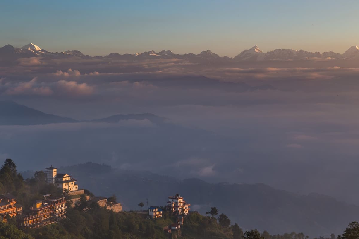
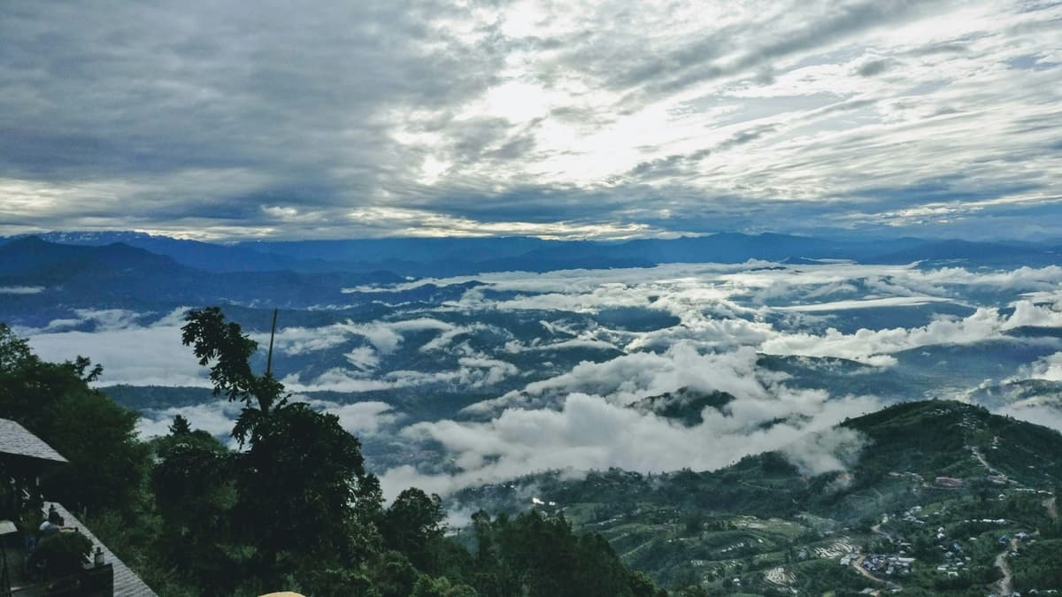
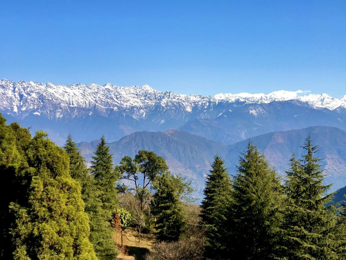
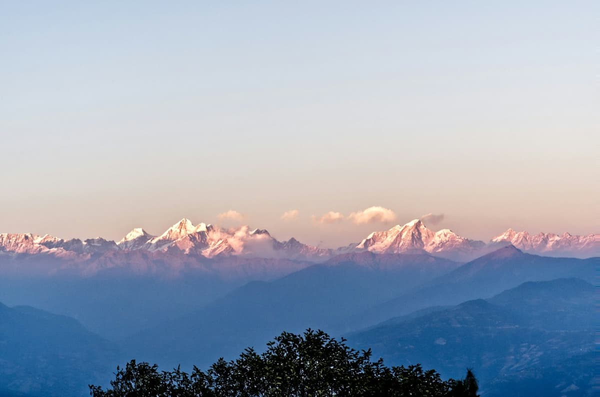
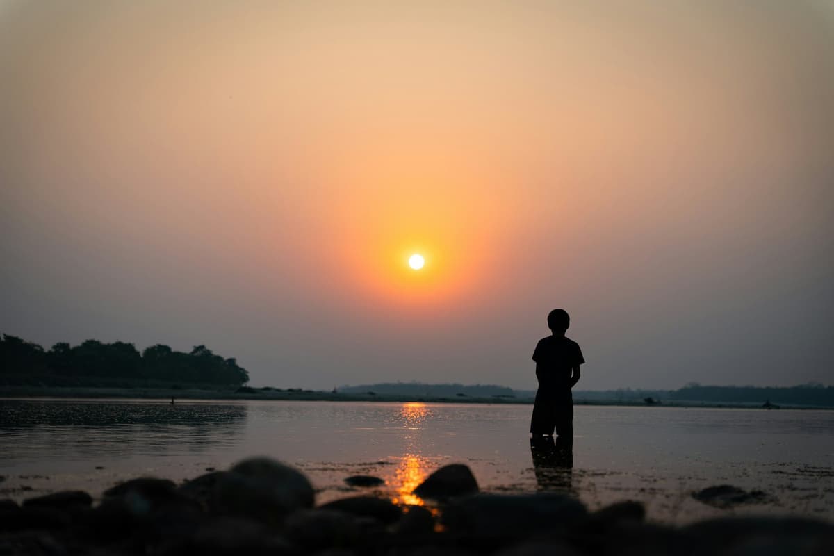
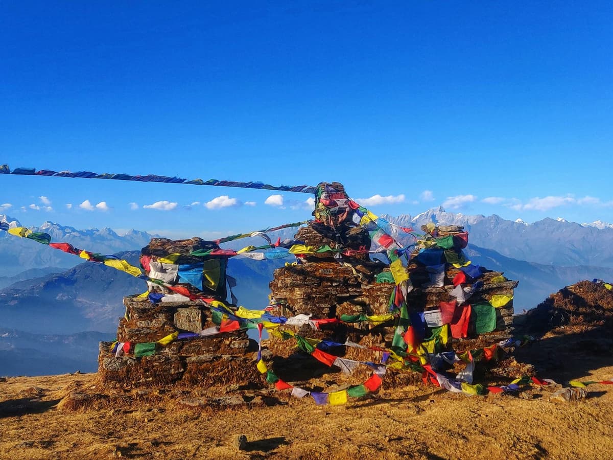
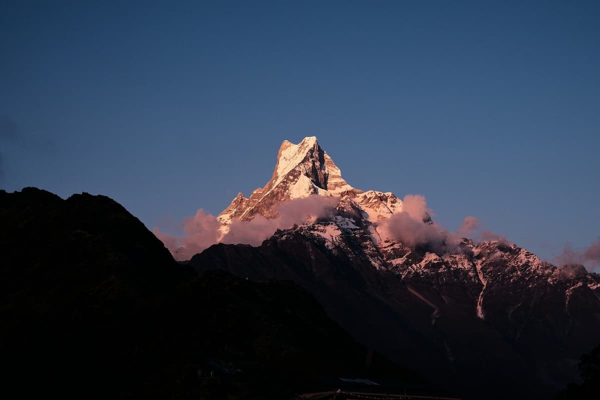
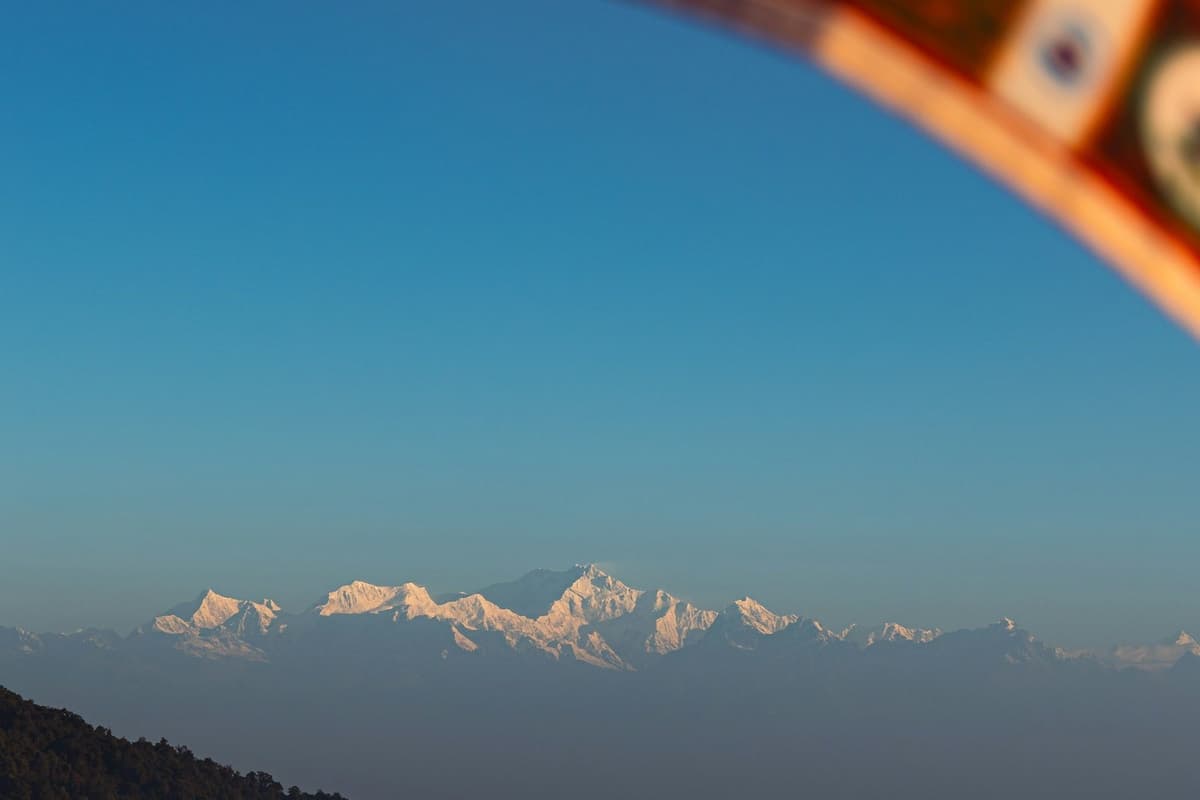
It is a little before six on a November morning. The ridge is cold, the valleys below are full of cloud, and a line of white peaks to the north is turning from grey to pink one summit at a time. Someone on the next terrace is pouring tea from a flask. That is Nagarkot on a good day.
The short answer: Nagarkot is a hill village on the eastern rim of the Kathmandu Valley, about 32 km from the capital, at roughly 2,100 to 2,200 m (about 6,890 to 7,220 ft). People come for the Himalayan sunrise. Come between October and February for the clearest mornings, stay one night, and add the walk to Changu Narayan or a stop in Bhaktapur.
Nagarkot is the easiest of the valley-rim viewpoints to reach and sits alongside the other hill towns in our guide to hill stations in Nepal. This page covers when the mountains actually show, sunrise times month by month, where to stand, how to get there, and the hikes that turn a sunrise trip into a proper day out.
Key facts
- Where
- Eastern rim of the Kathmandu Valley, Bhaktapur District, Bagmati Province; part of Changunarayan Municipality (Wikipedia; bhaktapur.com, 8 Oct 2026)
- Distance from Kathmandu
- About 32 km (Nepal Tourism Board (ntb.gov.np), 8 Oct 2026)
- Altitude
- Roughly 2,100 to 2,200 m; published figures range from about 1,950 m to 2,195 m (Wikipedia, Wikivoyage, Rough Guides, 8 Oct 2026)
- View tower
- 2,164 m, on the ridge about 4 km south of the village (Lonely Planet, Wikivoyage, Rough Guides, 8 Oct 2026)
- Drive time
- About 1.5 to 2 hours by road, depending on traffic (hopnepal (Apr 2025), Wikivoyage, 8 Oct 2026)
- Clearest months
- October to December; January and February clear but cold (NTB climate page; DHM data, 8 Oct 2026)
- Sunrise
- Around 05:05 in June to around 06:54 in mid-January (sunrise-sunset.org (calculated), 8 Oct 2026)
- Mountains on view
- Langtang, Ganesh Himal, Jugal, Rolwaling, Manaslu; Everest only as a faint tip on very clear mornings (Rough Guides, Wikivoyage, Wikipedia, 8 Oct 2026)
Where is Nagarkot, and why do people go?
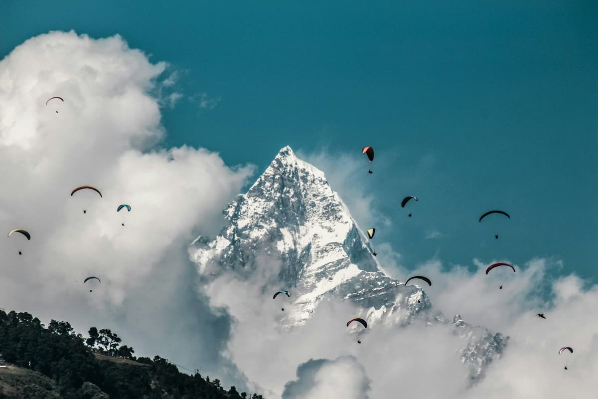
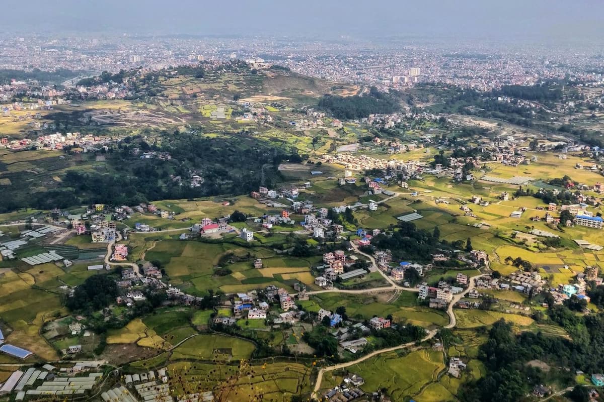
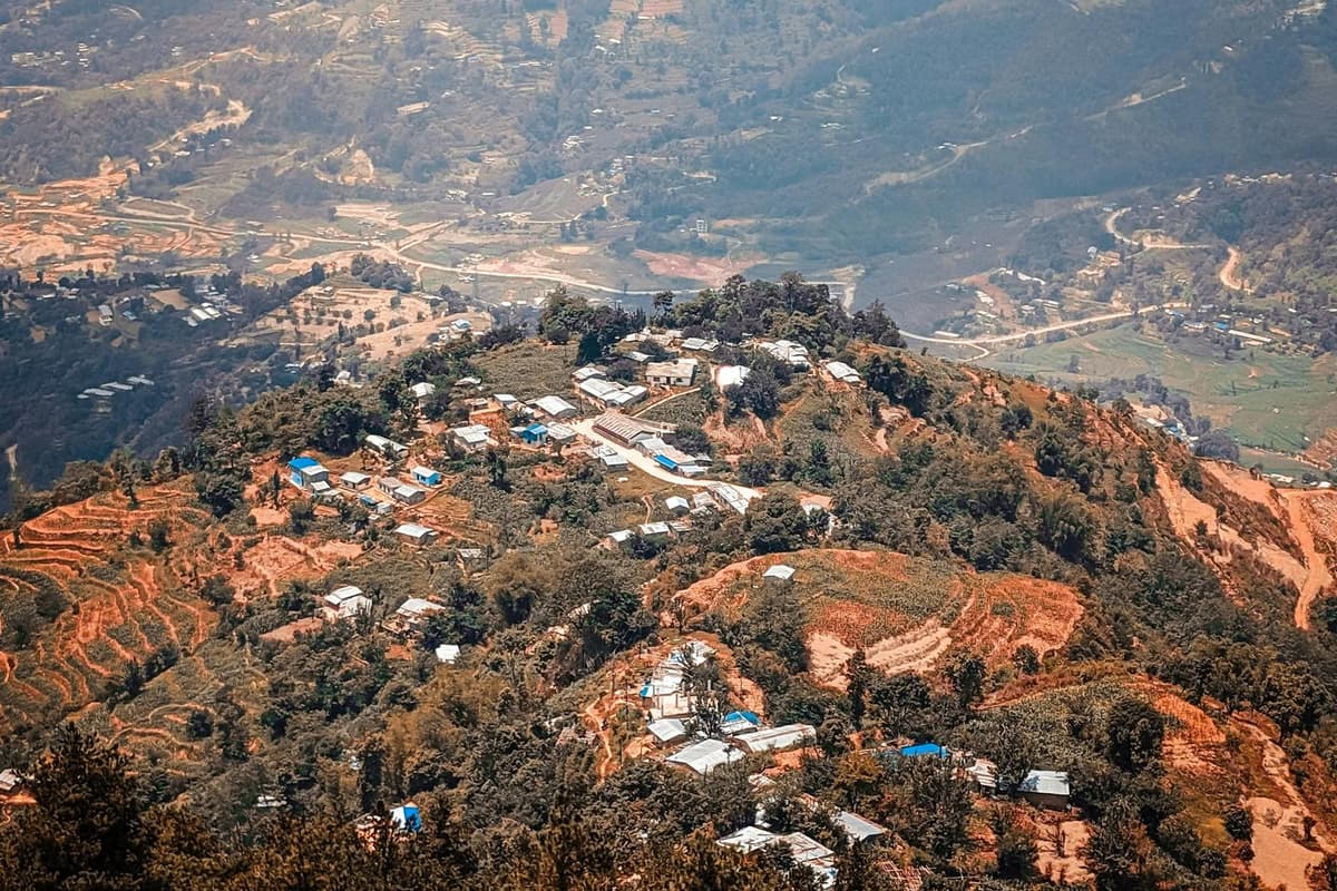
Nagarkot is a village on the high ridge that closes the Kathmandu Valley to the east, in Bhaktapur District. It is about 32 km from Kathmandu. People go for the view: from the ridge, the Himalaya runs across the northern skyline, and on a clear morning the sun lights the peaks before it reaches the valley.
The village is a string of hotels, guesthouses and small restaurants along the ridge road. It has no old town of its own like Bhaktapur; what it offers is height, cooler air and a long horizon.
The Nepal Tourism Board puts the village's other draw in one line:
"Changu Narayan Temple, a UNESCO World Heritage Site and one of the oldest temples, is only a short hike away from the village." Nepal Tourism Board
Administratively, Nagarkot is no longer its own municipality. The former Mahamanjushree Nagarkot Municipality was merged into Changunarayan Municipality in 2017.
A note on names: if you search for "Nagarkot temple" or "Nagarkot waterfall", many results are about a different Nagarkot, in Kangra, Himachal Pradesh, India. This guide is about the Nepal one.
How high is Nagarkot?
Nagarkot sits at roughly 2,100 to 2,200 m on the valley rim. There is no single official figure. Published numbers range from about 1,950 m to 2,195 m depending on which part of the ridge is measured. The weather station is at 2,147 m and the view tower at 2,164 m.
That height matters in two practical ways. First, it is cold before dawn for much of the year, colder than people expect when they have just left a mild afternoon in Kathmandu (see the weather table below). Second, it is well below the height where altitude sickness usually becomes a concern: the CDC uses about 2,450 m as the threshold.
What can you see from Nagarkot?
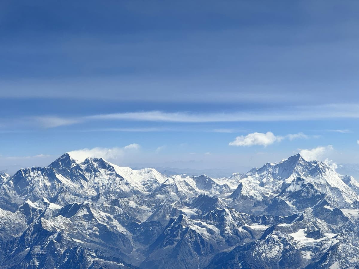
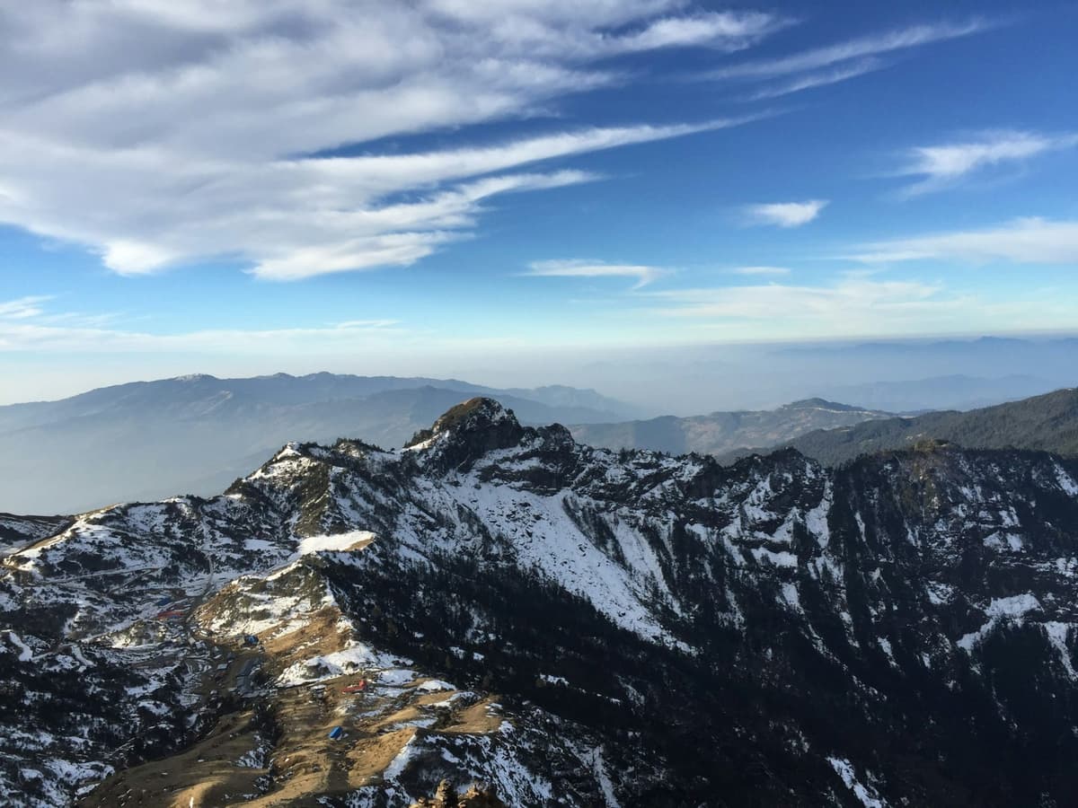
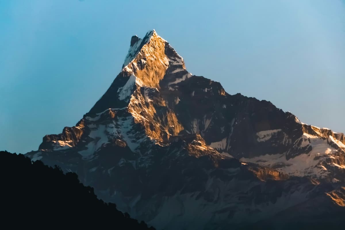
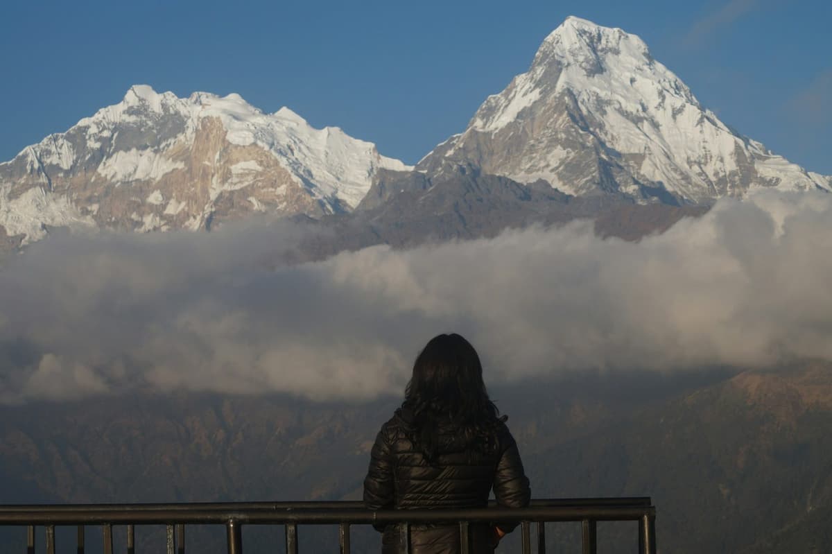
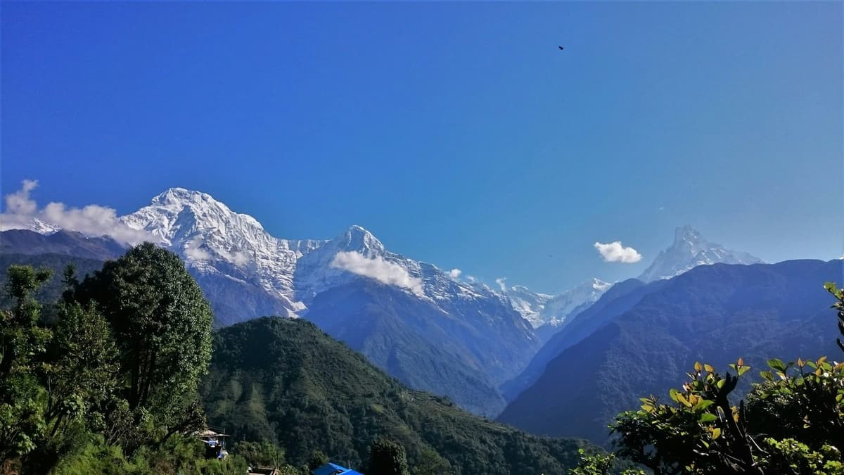
On a clear morning you see a long stretch of the central and eastern Himalaya. The Langtang range dominates the view to the north, with Ganesh Himal to its west and the Jugal peaks, including Dorje Lakpa, to the east. Further east is the Rolwaling Himal with Gauri Shankar. Manaslu, at 8,163 m, appears to the north-west.
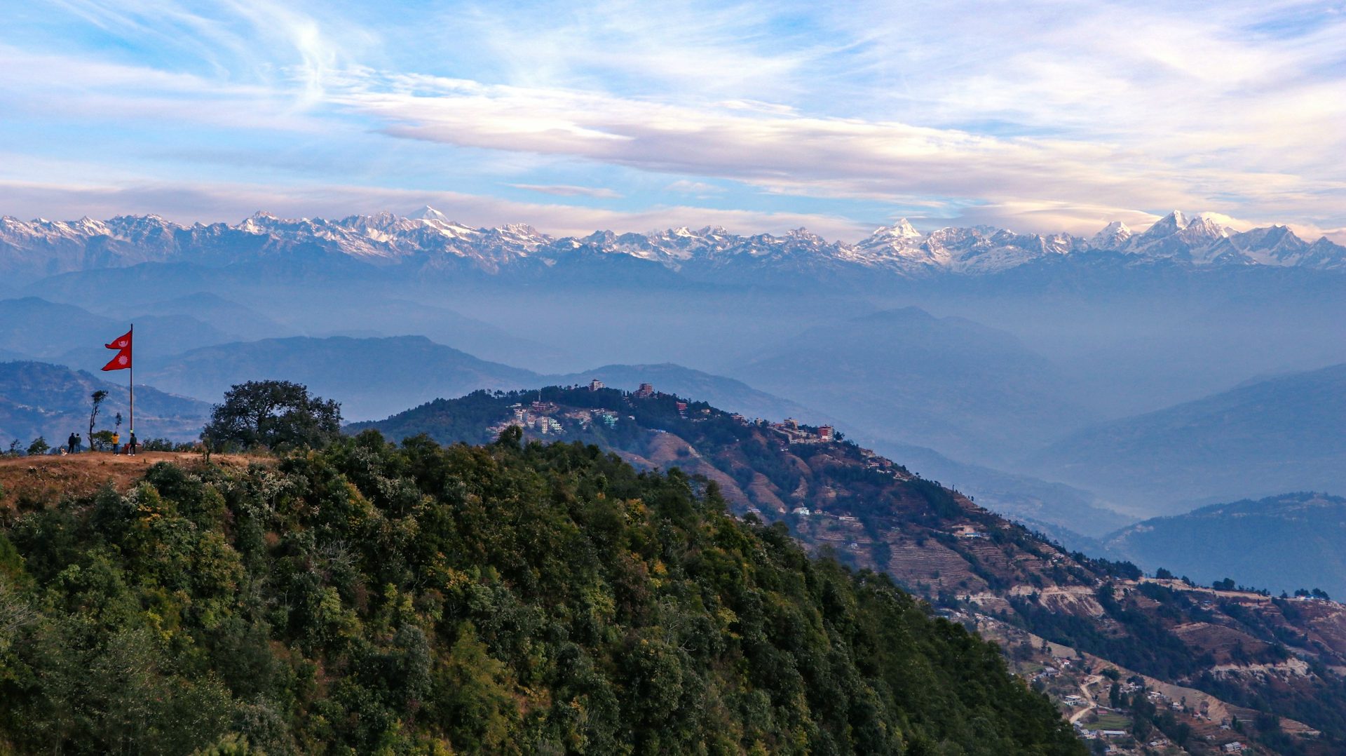
On the very best days, Himalchuli and even the Annapurnas can show faintly to the west through the haze. Below them, on autumn and winter mornings, cloud often fills the valleys.
Can you see Everest from Nagarkot?
Sometimes, but do not count on it. On the clearest mornings you may pick out the tip of Everest far to the east, from higher ground near the view tower. Most days it is lost in haze, so don't come for Everest alone. Rough Guides is blunt that the Khumbu peaks rarely show as more than a pink haze at dawn.
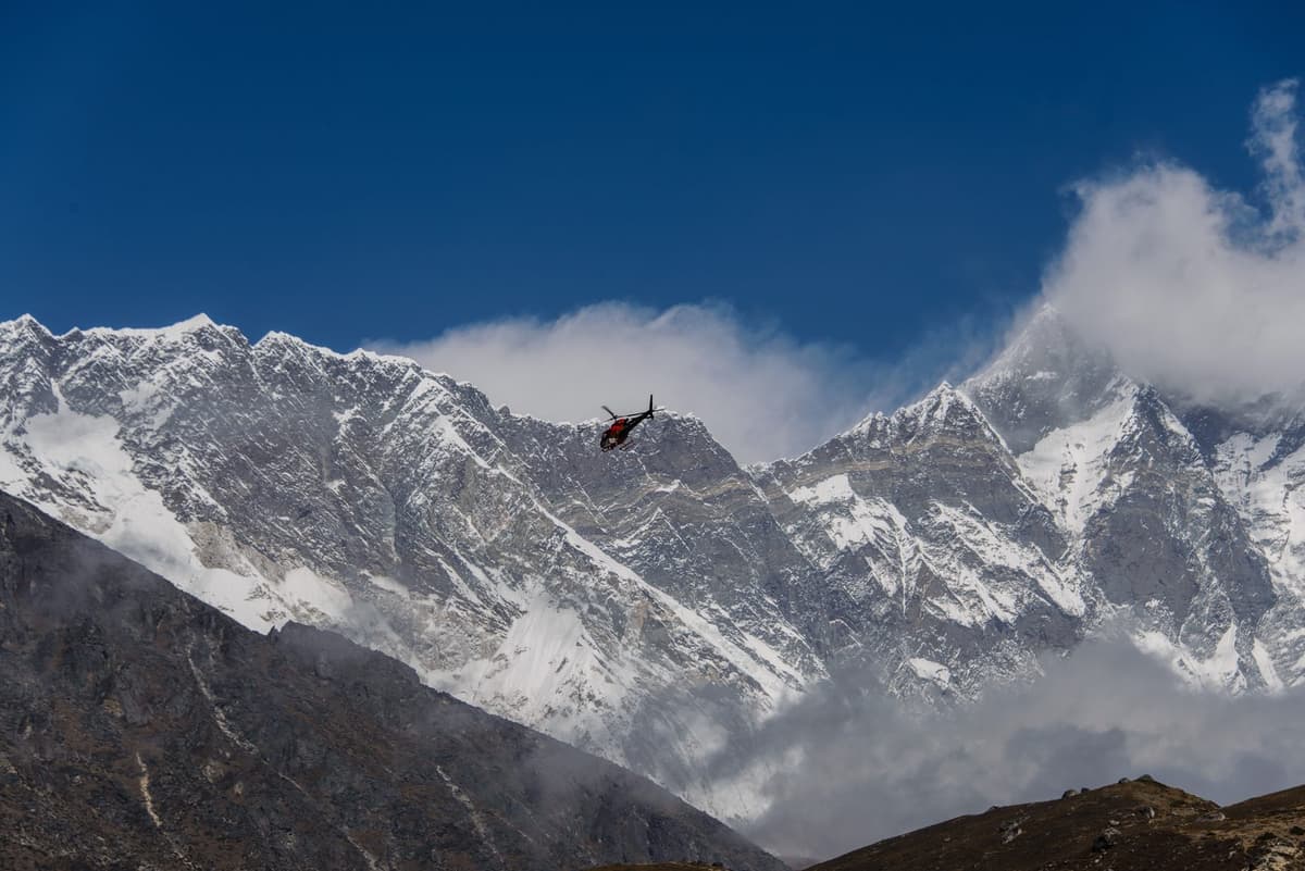
Everest, at 8,848.86 m, is a very long way off from here. If seeing it is the main reason for your trip, a flight or a trek into the Everest region is the honest answer, not a night in Nagarkot.
When is the best time to visit Nagarkot?
October to December gives the clearest mornings, with very little rain in November and December. January and February are usually clear too but cold before dawn. March to May is often hazy, and in some springs forest-fire smoke hides the mountains for days or weeks. June to September brings cloud and heavy rain.
The Nepal Tourism Board says the same thing in its climate notes:
"the clearest skies are found after the monsoon in October and November" Nepal Tourism Board
NTB adds that winter, December and January, has "compensating bright sun and brilliant views". That matches the rain figures from the Nagarkot weather station: November averages 9.1 mm of rain and December 11.9 mm, against 473.7 mm in July and 477.9 mm in August.
By the Department of Hydrology and Meteorology's normal dates, the monsoon reaches Nepal around 13 June and withdraws around 2 October, though in every year from 2020 to 2024 it withdrew later than that. If your dates are flexible, the second half of October onward is the safer bet.
Spring is a gamble for views. In 2021, Kathmandu sat under thick smoke for more than two weeks in March and April, with visibility under 2 km. In April 2025, wildfire smoke again drifted into the valley, and towns across the country were covered in haze. Go in spring expecting a soft horizon and treat a clear morning as a bonus.
Nagarkot weather and visibility, month by month
| Month | Typical max (°C) | Typical min (°C) | Rain (mm) | What the mornings are usually like |
|---|---|---|---|---|
| January | 12.9 | 2.9 | 19.3 | Clear, crisp; the coldest dawns of the year |
| February | 15.3 | 4.6 | 18.1 | Clear, cold dawns; a little warmer |
| March | 19.3 | 7.6 | 25.9 | Haze building; views come and go |
| April | 22.5 | 10.8 | 55.0 | Often hazy; forest-fire smoke in some years |
| May | 22.8 | 12.5 | 147.5 | Hazy, pre-monsoon showers starting |
| June | 23.1 | 15.5 | 325.5 | Monsoon; cloud most mornings |
| July | 22.2 | 15.6 | 473.7 | Wettest months; mountain views rare |
| August | 22.3 | 15.5 | 477.9 | Wettest months; mountain views rare |
| September | 21.9 | 14.4 | 253.6 | Rain easing late in the month |
| October | 20.6 | 11.3 | 65.8 | Clearing after the monsoon; often clear by the second half |
| November | 17.5 | 7.3 | 9.1 | Among the clearest mornings of the year |
| December | 14.3 | 4.3 | 11.9 | Clear, dry, cold dawns |
| Year | 19.6 | 10.2 | 1,883.7 |
Source: DHM Nagarkot station, 2,147 m, 1991 to 2020 normals, via Wikipedia. Mean daily maximum and minimum; individual mornings can be much colder than the minimum shown. Visibility notes are our summary of NTB's climate guidance, the rain figures and press reports of spring haze.
For comparison, January days in Nagarkot are about 6 °C cooler than in Kathmandu, where the average January maximum at the airport is 19.2 °C. Pack as if you were going somewhere a season colder than the city.
For the bigger picture across the whole country, see our guide to the best time to visit Nepal.
Nagarkot sunrise times by month
Sunrise in Nagarkot ranges from around 05:05 in June to around 06:54 in mid-January. First light, when the sky brightens and the peaks begin to show, comes about 22 to 25 minutes before sunrise. Aim to be in place before first light, not before sunrise.
| Date | First light (approx.) | Sunrise (approx.) | Sunset (approx.) |
|---|---|---|---|
| 15 January | 06:30 | 06:54 | 17:31 |
| 15 February | 06:17 | 06:39 | 17:55 |
| 15 March | 05:49 | 06:12 | 18:12 |
| 15 April | 05:15 | 05:37 | 18:29 |
| 15 May | 04:49 | 05:13 | 18:46 |
| 15 June | 04:40 | 05:06 | 19:01 |
| 15 July | 04:51 | 05:16 | 19:02 |
| 15 August | 05:09 | 05:32 | 18:43 |
| 15 September | 05:25 | 05:47 | 18:10 |
| 15 October | 05:39 | 06:02 | 17:36 |
| 15 November | 05:59 | 06:23 | 17:12 |
| 15 December | 06:20 | 06:45 | 17:11 |
Approximate times in Nepal Time, calculated by sunrise-sunset.org for Nagarkot, for a flat horizon. The sun clearing the actual ridge line can differ by a few minutes. Nagarkot is about one minute earlier than Kathmandu all year.
Two things follow from the table. In winter the sunrise is late enough that you can sleep in Kathmandu and still make it if you leave very early, though a night on the ridge is far more relaxed. In early summer, first light comes before five, which means a very short night if you want to catch it.
Sunset is the forgotten half of Nagarkot. On clear winter afternoons the peaks turn gold and then pink after the sun drops behind the western hills, and the valley lights come on below. If you stay overnight you get both, and you double your chance of a clear view.
Where to stand for sunrise in Nagarkot
The best single spot is the view tower on the ridge's highest southern point, at 2,164 m, about 4 km south of the village. It is roughly an hour's walk along the road from the village centre, or a short drive. Your hotel terrace is the easy alternative if it faces north or east.
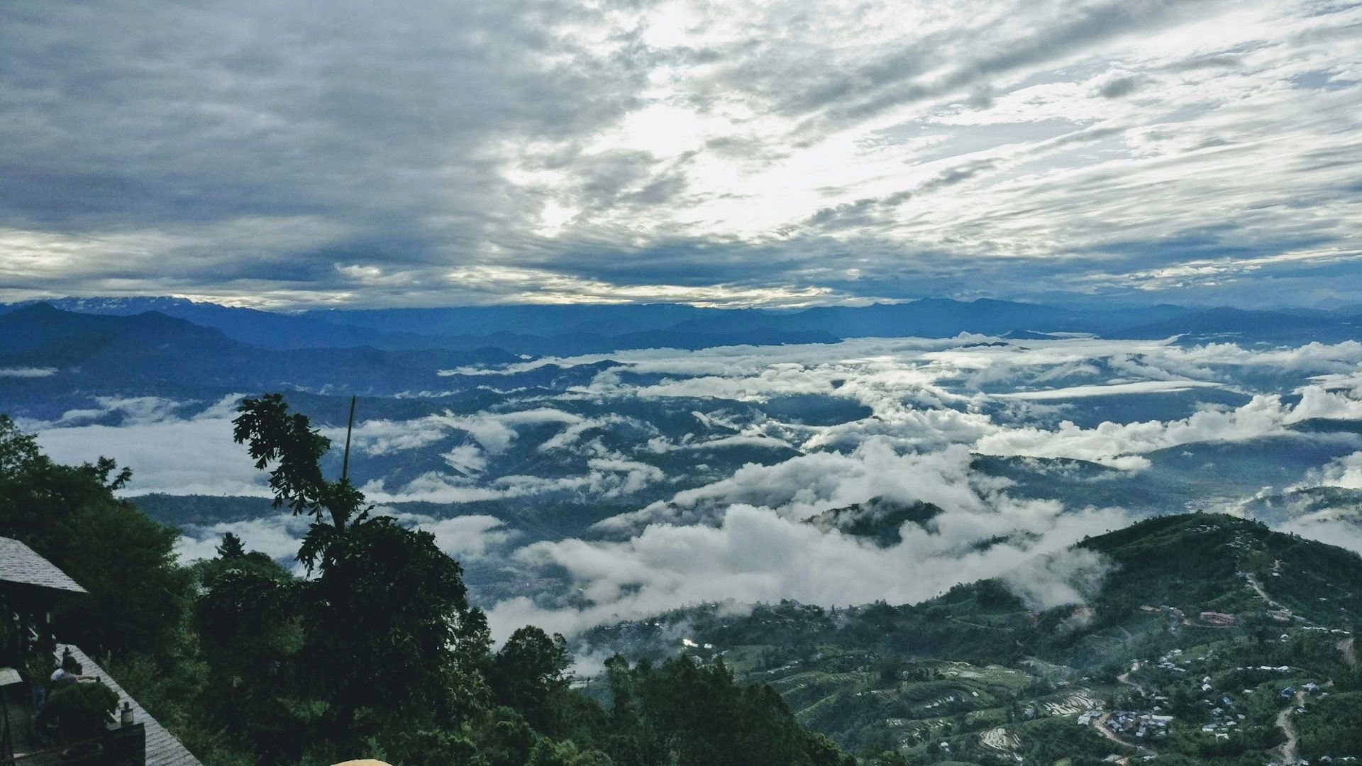
The view tower
Lonely Planet lists the tower as the Geodetic Survey Lookout Tower, and notes that growing trees can block part of the view. It is still the highest easy point on the ridge, and the place to try for the faint tip of Everest on an exceptional morning. Go up early in peak season, as it can get busy on clear mornings.
We have not found an official source for a tower ticket or opening hours, so we are not quoting one. Ask at your hotel the evening before.
Your hotel terrace or the ridge near the village
Many visitors simply watch from where they slept: no dark walk, tea in hand, and the same northern skyline. If you are booking a room for the view, ask specifically whether it faces the mountains, because not every room on the ridge does.
A few practical rules for the sunrise itself
- Be in place before first light. The best colour on the peaks often comes before the sun clears the horizon behind you.
- Look north and north-east for the mountains, and east for the sun. Many first-timers watch the sun and miss the peaks changing colour behind them.
- Stay a while after sunrise, as the valley cloud often lifts and breaks up.
- Bring a headtorch for the walk to the tower, and walk on the road edge facing traffic.
- Do not judge the morning by the night before. A cloudy evening sometimes clears by dawn, and the reverse is just as common.
How to get to Nagarkot from Kathmandu
Nagarkot is about 32 km from Kathmandu, and the drive typically takes about one and a half to two hours depending on traffic. Most visitors go by private car or with a tour. Local buses run from Bhaktapur during the day only, so they do not suit a sunrise visit unless you stay the night.
By private car or with a guide
This is how most of our guests go. The usual route runs east through Bhaktapur and then climbs the ridge road via Telkot; from the Kamal Binayak area of Bhaktapur it is about 18 km by this main road. The upper part winds through pine forest and terraces, with a few sharp bends. The municipality has been upgrading the Bhaktapur to Nagarkot road since 2025, so expect roadworks in places.
A car gives you control over the one thing that matters most here, timing. You can leave late enough to avoid the worst of the city traffic, stop in Bhaktapur, or come back down by a different road.
By public bus
Local buses leave from the Kamal Binayak bus stop area in Bhaktapur. The ride is slow, typically about one and a half to two hours, and buses run in daytime only, from roughly 6 am to early evening. There is no tourist bus on this road. If you go by bus and want the sunrise, plan to stay the night. You would first need to get from Kathmandu to Bhaktapur.
Walking in
You can also arrive on foot: from Chisapani over the northern hills, or up from Changu Narayan via Telkot. Both are covered in the hikes section below.
Hikes from Nagarkot
Nagarkot is a natural base for walking. Trails link the ridge with Changu Narayan, Dhulikhel and Chisapani, mostly on village paths, forest trails and quiet roads, and none goes high enough for altitude to be a concern.
| Hike | Typical walking time | Character | Best for |
|---|---|---|---|
| Nagarkot to Changu Narayan (via Telkot) | About four to five hours | Ridge and forest trail, mostly downhill from Nagarkot | A morning walk ending at a UNESCO-listed temple |
| Telkot to Changu Narayan | About 1.5 hours | Shorter forest and village section | Families and anyone short on time |
| Nagarkot to Dhulikhel | Most of a day, roughly four to seven hours | Village trails and farm tracks south-east along the hills | Walkers who want a full day and a different end point |
| Chisapani to Nagarkot | A long day, roughly five to seven and a half hours | Ridge, forest and villages across the northern rim | Part of a two- or three-day walk from Sundarijal |
| Panoramic loop from Nagarkot | A half-day loop | Ridge trail around the village | Stretching your legs after sunrise |
Walking times are typical figures from guidebooks and hiker reports and vary with pace, stops and start point. Exact distances differ between sources, so we have left them out.
Nagarkot to Changu Narayan
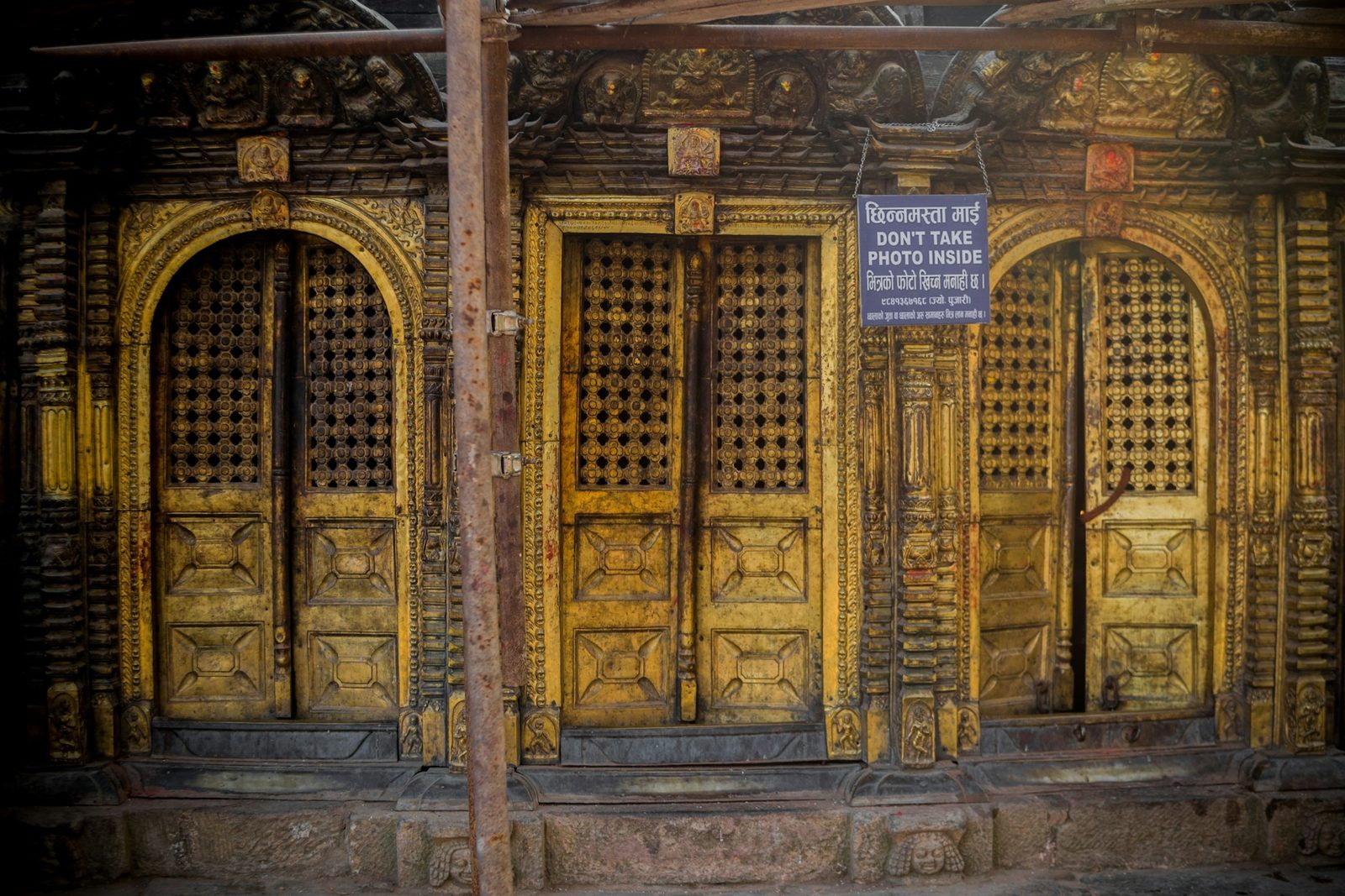
This is the classic Nagarkot walk, and the one we recommend most. You follow the ridge and forest trail down via Telkot and the Jalapa Devi temple area to the hilltop temple of Changu Narayan. It is downhill most of the way from Nagarkot, and uphill the other way. Allow about four to five hours on foot from Nagarkot; it is much shorter if you drive to Telkot first.
The reward at the end is one of the oldest temples in the valley. A stone pillar at Changu Narayan carries an inscription of the Licchavi king Manadeva dated 464 AD, among the oldest inscriptions in Nepal. Changu Narayan is one of the seven Monument Zones that make up the Kathmandu Valley World Heritage Site, inscribed by UNESCO in 1979. UNESCO describes the site this way:
"Changu Narayan comprises traditional Newari settlement, and a Hindu temple complex with one of the earliest inscriptions in the Valley from the fifth century AD." UNESCO World Heritage Centre (World Heritage listing)
The walk ends in a brick street of Newar houses climbing to the temple square.
The 2015 Gorkha earthquake of 25 April hit Changu Narayan hard. Two of the four temples on the square were reduced to rubble, the main temple was badly damaged, and part of the ring of pilgrims' rest houses collapsed. The site reopened to visitors on 17 July 2015, with damaged structures propped with timber, and restoration took several years after 2015.
Entry fee. Foreign visitors pay an entry fee at Changu Narayan, with a lower rate for SAARC nationals. The published figures do not agree. National press reports in July 2025, using municipal figures, gave NPR 400 for non-SAARC visitors and NPR 300 for SAARC visitors. The Nepal Tourism Board's heritage-fee table, which is undated, still lists NPR 300 for foreign visitors and NPR 100 for SAARC visitors. The newer figure is more likely to be current, but check the rate at the gate.
Telkot: the short way down
Telkot is the village on the ridge road below Nagarkot, and the usual starting point for walking down to Changu Narayan. Starting here cuts the walk to about one and a half hours, which makes it the version we suggest for families, older travellers and anyone who wants the temple without a long hike. A common pattern is sunrise at Nagarkot, breakfast, a short drive down to Telkot, then the walk through forest and fields to Changu.
Nagarkot to Dhulikhel
Heading south-east along the hills, the walk from Nagarkot to Dhulikhel takes most of a day on foot, roughly four to seven hours. It is part of what Wikivoyage calls the Kathmandu Valley Cultural Trail.
Dhulikhel is a hill town at about 1,550 m, the headquarters of Kavrepalanchok District, about 30 km from Kathmandu. From there you can carry on to the Buddhist hilltop of Namobuddha, at 1,750 m.
Chisapani to Nagarkot
This is the longest and most rewarding of these walks, usually walked as part of a two- or three-day hike along the valley's northern rim. The first day climbs from Sundarijal, on the north-eastern edge of Kathmandu, through Shivapuri-Nagarjun National Park to Chisapani, at about 2,150 m. That section takes about five to seven hours, depending on your pace. The next day, Chisapani to Nagarkot is a long day, roughly five to seven and a half hours, across ridges, forest and villages.
Chisapani means "cold water" in Nepali; it is a small, breezy settlement with a mountain view of its own.
The Sundarijal to Chisapani section is inside Shivapuri-Nagarjun National Park, which charges an entry fee per person per entry: NPR 1,000 for foreigners, NPR 600 for SAARC nationals and NPR 100 for Nepalis, with children under 10 free. On our trips we arrange this permit for you.
This is a proper walking day: you should be comfortable on uneven paths with steady climbs and descents for most of a day.
The panoramic loop
If you want something short after sunrise, a panoramic hiking trail loops around the Nagarkot area as a half-day walk. Ask your hotel or guide for the route, since it is not well marked on the ground.
Combining Nagarkot with Bhaktapur
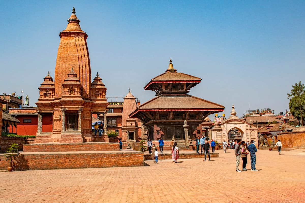
Bhaktapur is the natural partner to Nagarkot. It sits on the road up, so you can visit its old squares on the way to the ridge in the afternoon, or on the way down after sunrise. The two together make a full and unhurried day.
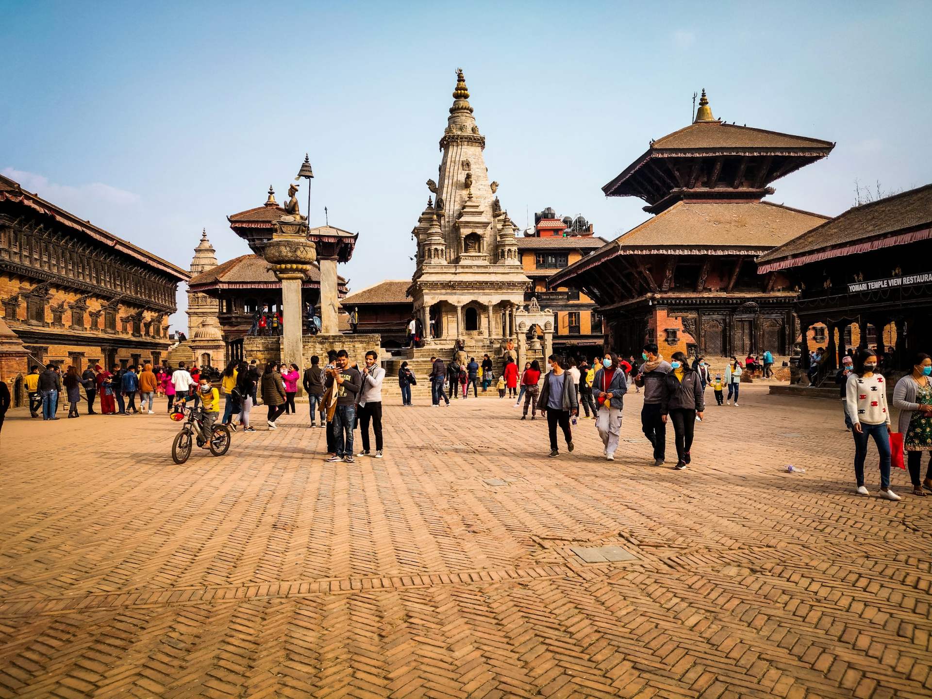
Bhaktapur charges an entry fee for foreign visitors. Since 17 July 2025 it has been NPR 2,000 for non-SAARC visitors, set by the Bhaktapur Municipality, and NPR 500 for SAARC and Chinese visitors. Children under 10 enter free. You may still see an older figure on the NTB fee table; the NPR 2,000 rate is the current one.
A typical pattern our guests enjoy:
- Leave Kathmandu after lunch and spend the afternoon in Bhaktapur's squares.
- Drive up to Nagarkot for sunset and a night on the ridge.
- Watch sunrise, have breakfast, then drive down to Telkot and walk to Changu Narayan.
- Return to Kathmandu by early afternoon.
Our full guide to places to visit in Kathmandu, including Bhaktapur, is coming soon.
Is Nagarkot worth visiting?
Yes, if you go in the clear season and stay a night. From October to February, Nagarkot gives one of the easiest Himalayan sunrises you can reach from Kathmandu, plus good short hikes. In the monsoon, or on a day trip squeezed into a hazy spring, it can disappoint, because the view is the whole point.
It suits you if:
- You have a short stay in Kathmandu and want to see the Himalaya without trekking or flying.
- You enjoy easy walking and want a gentle hike with a cultural end point.
- You are travelling as a family or with older relatives and want a mountain view with a short drive.
It may not suit you if:
- You are coming mainly to see Everest. It is at best a faint tip on rare mornings.
- You are visiting between June and September and can only go for one morning. Cloud is likely.
- You want nightlife. Evenings on the ridge are quiet.
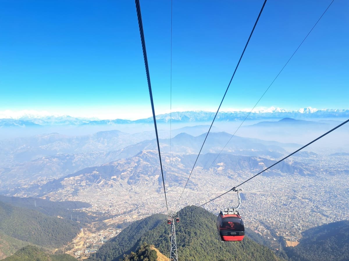
If you want more than one hill town in a trip, Nagarkot pairs well with others. For a cable car up to the valley's south-western rim, see our guide to the Chandragiri cable car. For an old trading town with a longer stay feel, read Bandipur, Nepal: what to see in the hill town. Walkers who want more routes around the valley can look out for our Kathmandu hiking guide, coming soon.
Practical tips for Nagarkot
Dress for a colder place than Kathmandu. Average minimum temperatures are 2.9 °C in January and 4.3 °C in December, and you will be standing still in the wind at dawn. A warm jacket, hat and gloves are not overkill in winter. Even in October, with an average minimum of 11.3 °C, a fleece is welcome at first light.
Stay overnight if you can. A pre-dawn drive from Kathmandu is possible, but one night on the ridge gives you sunset and sunrise, two chances at a clear view, and a calm start to the morning instead of a dark drive.
Check the weather, then lower your expectations. Even in the best months, nobody can promise a clear morning, and we won't. Haze, valley cloud and the odd rainy spell all happen. Plan something worthwhile for the morning either way, such as the walk to Changu Narayan.
Carry cash in Nepali rupees. Entry fees at Bhaktapur and Changu Narayan are paid in NPR. Small shops and tea stalls on the ridge prefer cash.
Read next: places to visit in Kathmandu, Nepal tourist places, day hikes on the Kathmandu Valley rim and day trips from Kathmandu.
Frequently asked questions about Nagarkot
Can you see Mount Everest from Nagarkot?
Only rarely, and only as a small distant tip far to the east. On the clearest mornings you may pick it out from higher ground near the view tower, but most days it is lost in haze. What you reliably see on a clear day is the Langtang range, Ganesh Himal, the Jugal peaks and the Rolwaling Himal. Come for that wide panorama, not for Everest.
What is the best month to visit Nagarkot?
November is usually the best single month, with clear post-monsoon skies and very little rain. October, December, January and February are also good, though January and February dawns are cold. March to May is often hazy, and June to September brings cloud and heavy rain, so mountain views are much less likely in those months.
How far is Nagarkot from Kathmandu?
Nagarkot is about 32 km from Kathmandu, according to the Nepal Tourism Board. By road it typically takes one and a half to two hours, depending on traffic and where in the city you start. The usual route goes through Bhaktapur and up the ridge road via Telkot. Local buses run from Bhaktapur in daytime only, so for sunrise you need a car or a night on the ridge.
Is one night in Nagarkot enough?
For most visitors, yes. One night gives you sunset, sunrise and time for a morning walk to Changu Narayan before heading back to Kathmandu. Two nights make sense if you want a full day's hike to Dhulikhel or a second chance at a clear view in a hazy season. If you are walking in from Chisapani, Nagarkot is often the last night of the hike.
How cold is Nagarkot in December?
Cold at dawn, pleasant by day. The Nagarkot weather station records an average December minimum of 4.3 °C and a maximum of 14.3 °C. Early mornings on an exposed terrace or at the view tower feel colder because of the wind. Bring a warm jacket, hat and gloves for sunrise. Rooms vary in heating, so ask your hotel what it provides.
Plan your Nagarkot trip
Nagarkot is simple to do well: pick the clear season, stay a night, and pair the sunrise with Bhaktapur or the walk to Changu Narayan. If you want us to handle the car, the timing and a licensed guide, these are the trips we run that include Nagarkot:
- Nagarkot sunrise and Bhaktapur tour, for a sunrise and heritage day.
- Overnight Nagarkot and Bhaktapur tour, for sunset, sunrise and the old city without rushing.
- Chisapani to Nagarkot hike, 3 days, for walking in over the northern rim.
Not sure which fits your days? Send us your dates on WhatsApp or through the enquiry form, and we will tell you honestly what works, including whether the season suits a Nagarkot sunrise at all.
For more viewpoints and hill towns around Nepal, go back to our guide to hill stations in Nepal.
Your Nepal visa and international flights are your own arrangements; official visa information is on the Nepal Tourism Board tourist visa page.