

Overview
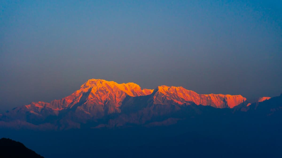
The Manaslu Circuit trek loops right around the 8,163 metre Manaslu massif, the eighth-highest mountain on earth, on a twelve-day teahouse route from Kathmandu that many walkers rate above the busier Annapurna and Everest trails. You drive to Machha Khola in the Budhi Gandaki gorge, then climb steadily through Gurung and Tibetan-influenced villages such as Jagat, Deng, Namrung and Samagaon, watching the valley change from subtropical forest to high alpine pasture. After an acclimatisation hike towards Manaslu Base Camp you cross the Larkya La at 5,106 metres, the trip's high point, and descend to Bimthang before the road out through Dharapani and Besisahar. It is a strenuous, remote walk graded harder than the classic circuits, and because this is a government-restricted area it runs on a special permit with a licensed guide and a minimum of two trekkers.
The itinerary
- Long drive north-west from Kathmandu to Machha Khola at around 900 m
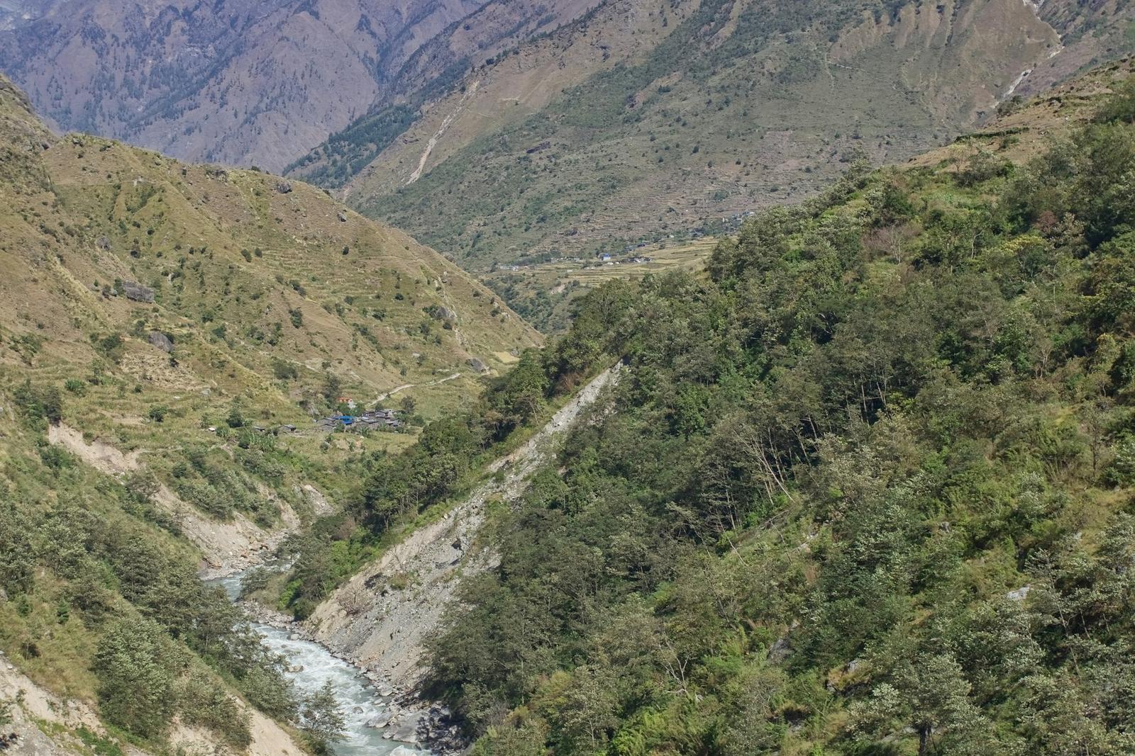
- Follow the Budhi Gandaki river deep into the gorge, part on rough road
- Overnight in a riverside village at the trailhead
- Walk upstream on the Budhi Gandaki past hot springs at Tatopani
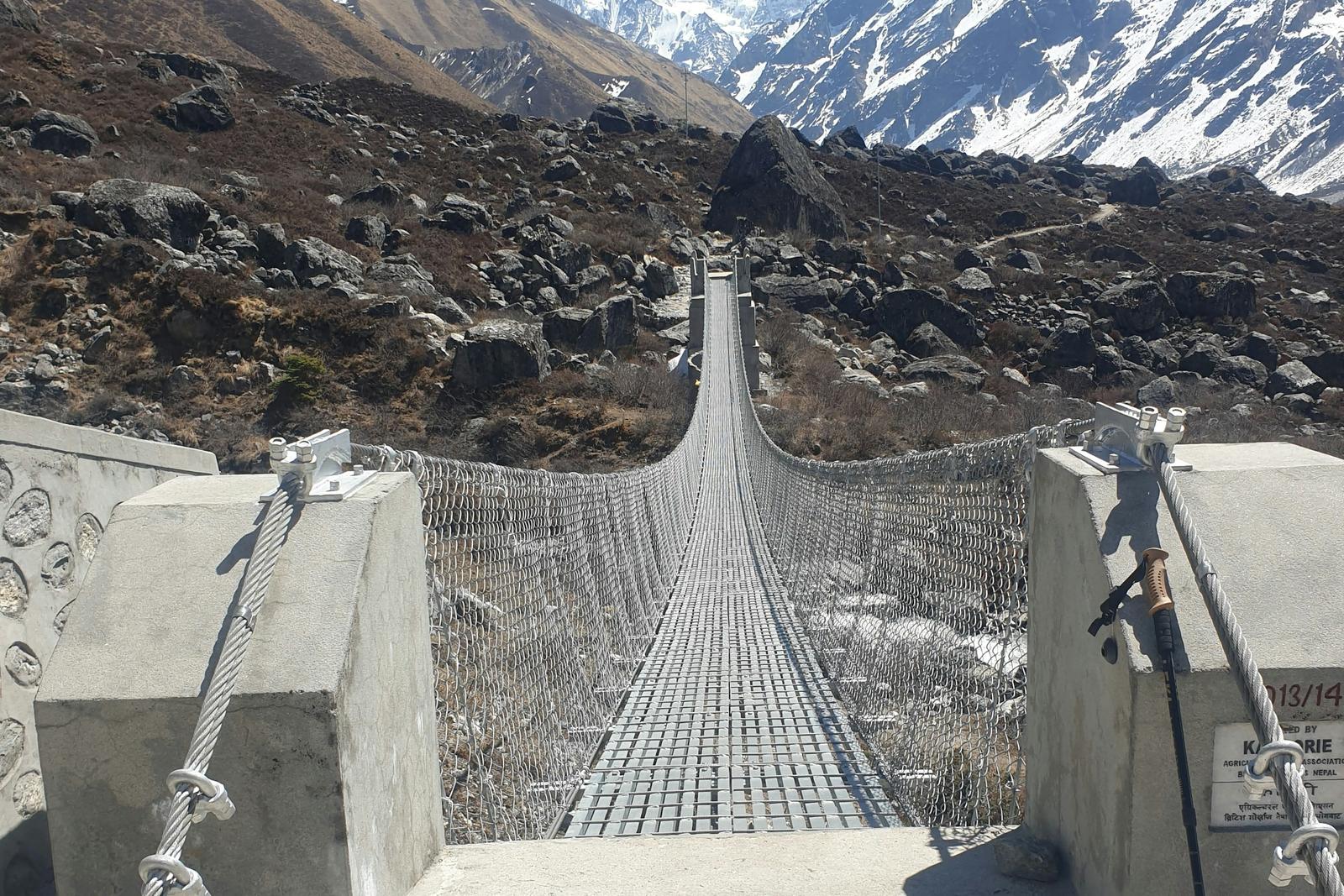
- Cross suspension bridges and carved cliff paths
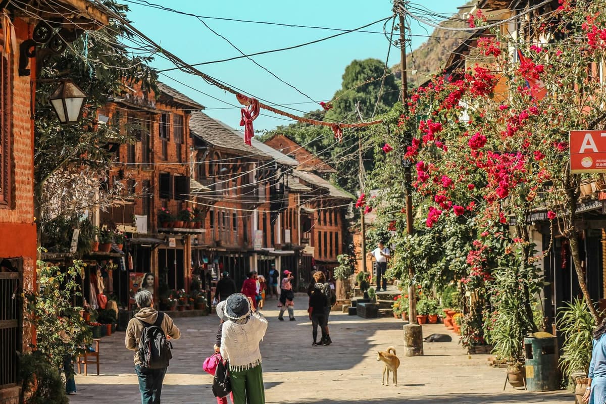
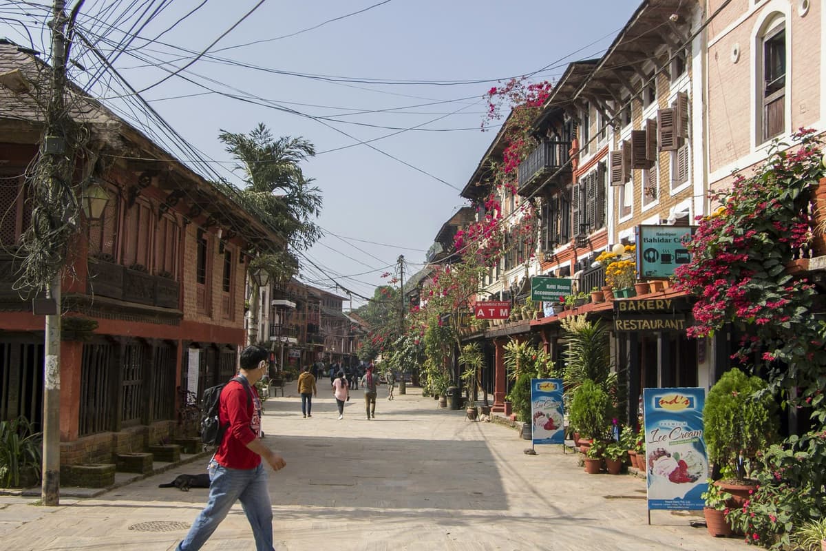
- Reach the stone-paved village of Jagat at around 1,340 m, the restricted-area checkpoint
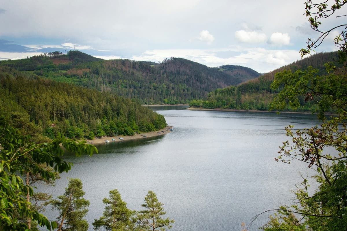
- Steady climb through terraced fields and forest above the river
- Pass through Philim and the narrowing upper gorge
- Overnight at Deng at around 1,860 m
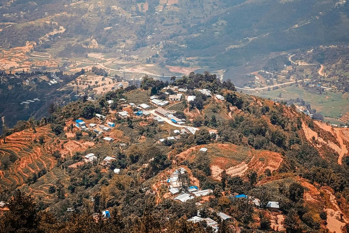
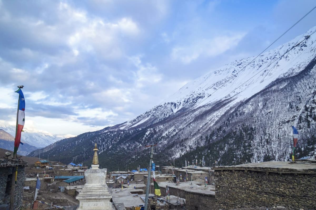
- Enter the more Tibetan-influenced upper valley with mani walls and gompas
- Climb through pine and fir forest with the first glimpses of high peaks
- Reach Namrung at around 2,630 m
- Walk through Lho at around 3,180 m with its hillside monastery
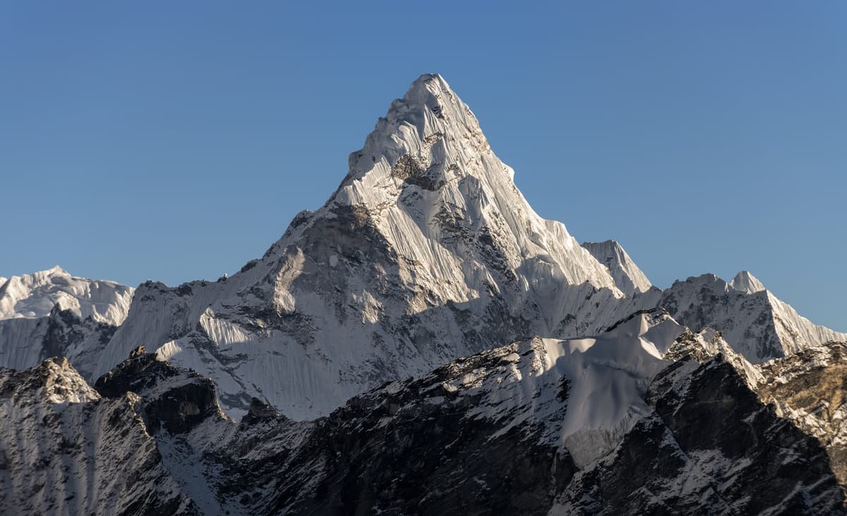
- First full views of Manaslu opening up the valley
- Overnight at Shyala at around 3,500 m, ringed by peaks
- Detour towards the remote Pungyen Gompa for close views of the Manaslu glaciers
- Rejoin the trail and drop to the large village of Samagaon at around 3,530 m
- Explore the old gompa and Tibetan-style stone houses
- Day hike up towards Manaslu Base Camp at around 4,800 m and back
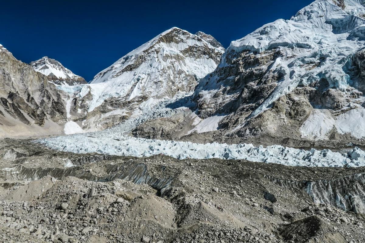
- Glacier and icefall views beneath the summit pyramid
- Return to sleep low at Samagaon to aid acclimatisation
- Gentle climb along the upper Budhi Gandaki towards the Tibetan border
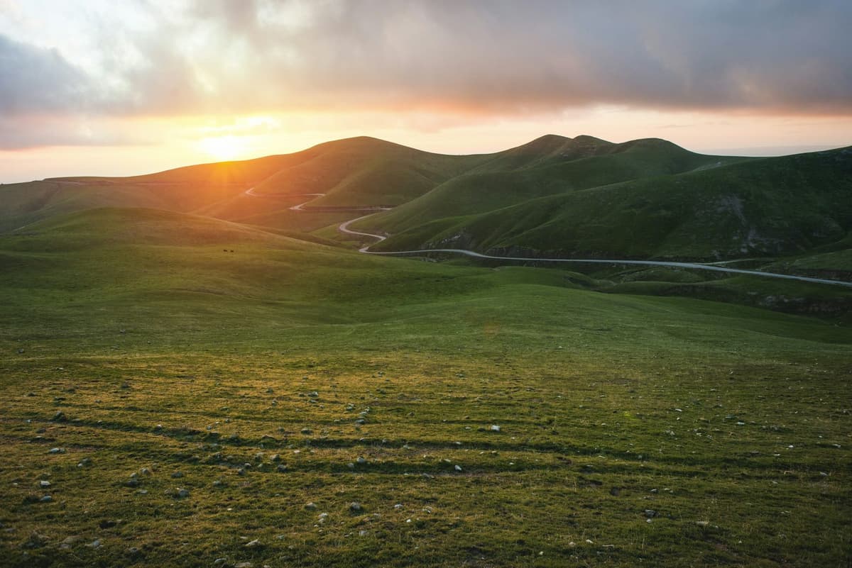
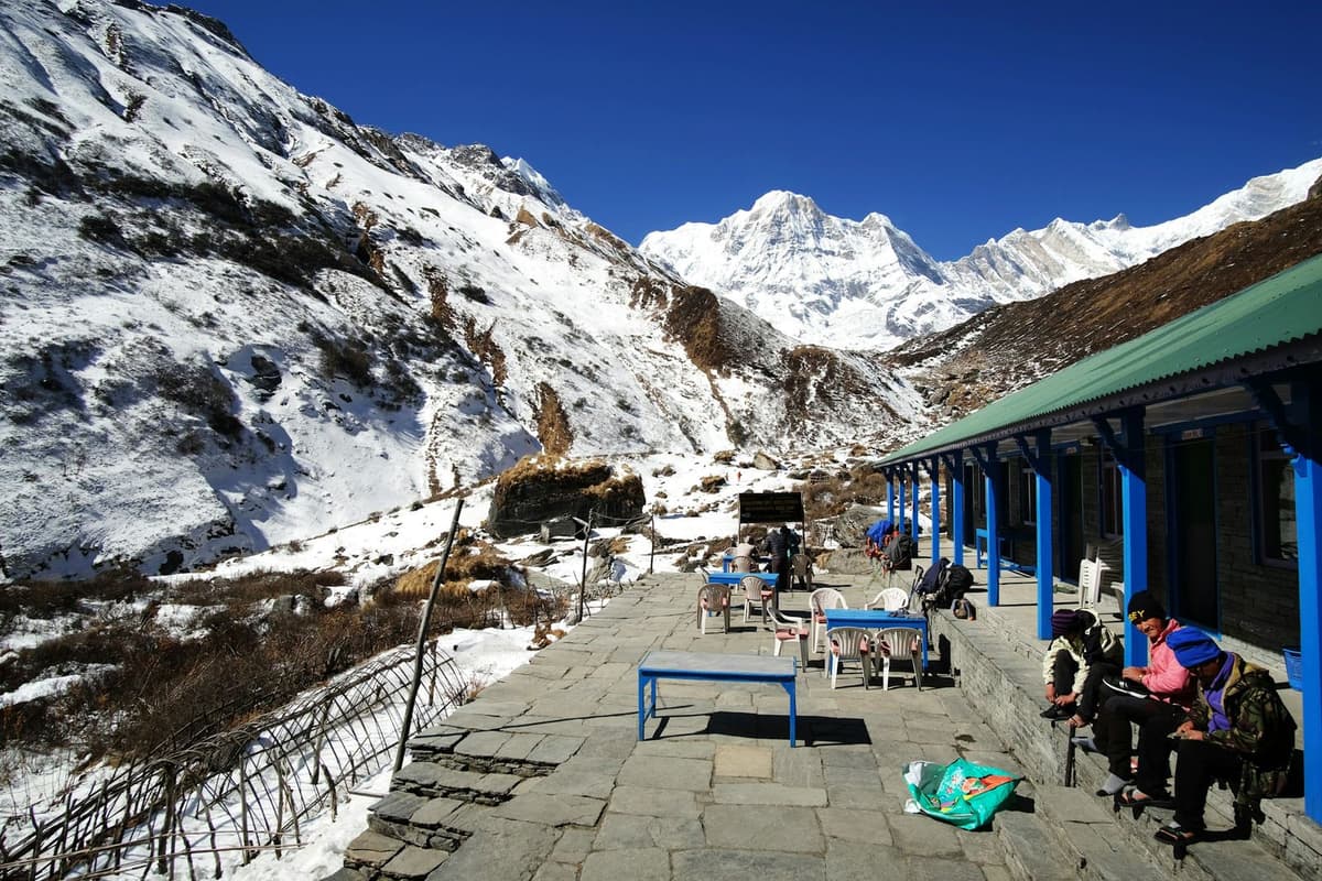
- Open, treeless country with grazing yaks
- Overnight at Samdo at around 3,875 m, the last permanent village
- Short but high walk to Dharmasala, also called Larkya Phedi, at around 4,460 m
- Basic stone-and-tin shelters at the foot of the pass
- Rest and prepare for the early pass crossing
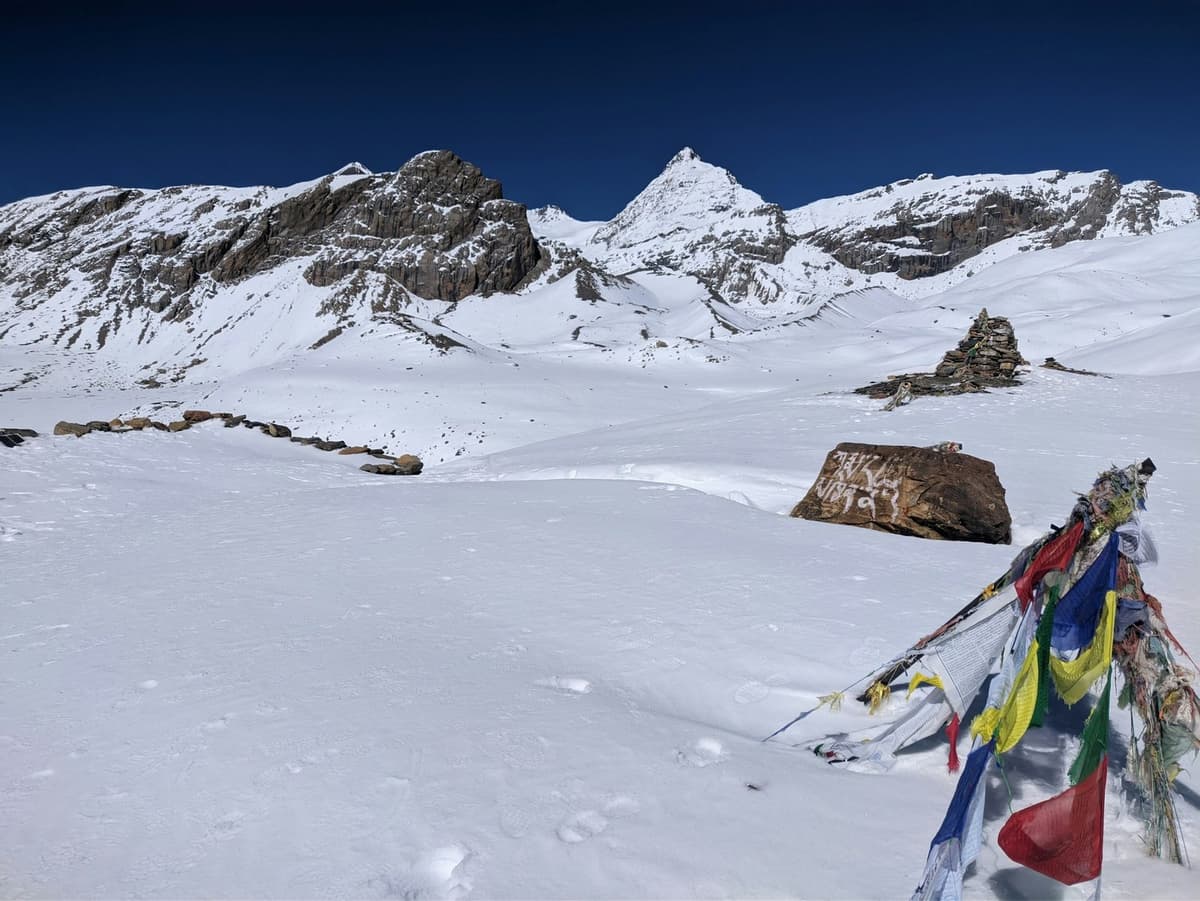
- Pre-dawn start for the long climb to Larkya La at 5,106 m, the trek’s high point
- Panorama of Himlung, Cheo, Kang Guru and Annapurna II from the pass
- Long descent to Bimthang at around 3,720 m; roughly 8 to 10 hours on the move
- Descend through rhododendron and pine forest into the Marsyangdi valley
- Pass through Tilije and Gho villages
- Reach Dharapani at around 1,960 m, joining the Annapurna Circuit road
- Jeep down the rough valley road from Dharapani to Besisahar
- Continue by road back to Kathmandu along the Prithvi Highway
- The trek concludes on arrival in the capital
Things to carry
- Layered clothing with a warm down jacket for the pass and high camps
- Broken-in trekking boots, warm socks and gaiters for possible snow
- A four-season sleeping bag, hat, gloves and a buff
- Sunglasses, sun hat, high-factor sunscreen and lip balm
- A refillable water bottle with purification, a daypack and a power bank
Good to know
Complete guide
The Manaslu Circuit is the trek for people who want a full high-mountain loop with a fraction of the crowds. It circles the eighth-highest peak on earth, climbs through some of Nepal’s most strongly Tibetan-influenced villages, and finishes over a genuine Himalayan pass, all on a restricted-area permit that keeps numbers low. Here is how the trek works and what to plan for.
What the Manaslu Circuit trek covers
Starting with the drive to Machha Khola, the route follows the Budhi Gandaki gorge up through Jagat, Deng and Namrung, then into the high valley at Shyala, Samagaon and Samdo before crossing Larkya La at 5,106 metres and descending to Bimthang and out via Dharapani. The two ends are road days by jeep; the heart of the trip is nine days of teahouse walking that gains more than four vertical kilometres. If you are drawn to big circuits over a high pass, the Annapurna Circuit trek from Pokhara is the classic comparison, crossing the Thorong La on a longer but busier and better-serviced trail.
How hard it is and how the altitude feels
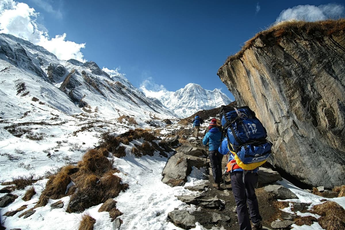
This is a strenuous trek, not a technical one, but the days are demanding: long climbs in the lower gorge, thin air in the upper valley, and a pass day that can run eight to ten hours from Dharmasala over Larkya La to Bimthang. The ascent is gradual enough to acclimatise, helped by the base-camp hike from Samagaon, but 5,106 metres is real altitude. Walk slowly, hydrate, and take any headache seriously. A few weeks of hill fitness beforehand makes the biggest difference to how much you enjoy the crossing.
Permits, guide and the two-trekker rule
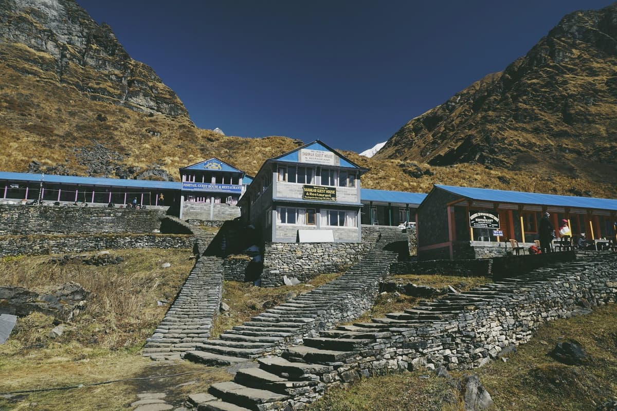
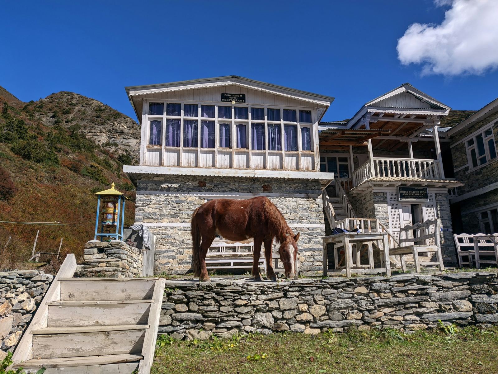
Manaslu is a government-restricted area, so the rules are stricter than on the open trails. You need a restricted-area permit plus Manaslu and Annapurna conservation permits, a licensed guide is compulsory, and permits are issued only to groups of at least two trekkers, so solo independent trekking is not possible here. We handle the paperwork, the guide and the group logistics; you bring your passport and passport photos. Nights are spent in simple teahouses, plainer than on the mainstream routes, so pack a warm sleeping bag and small cash for charging and hot water.
How it compares to the other big treks
Manaslu sits neatly between the classic circuits and the high base-camp treks. It is wilder and quieter than Annapurna, yet it does not need the flights and higher sleeping altitudes of the Everest Base Camp trek, whose top nights sit above 5,000 metres in the Khumbu. If you want a remote loop around a single giant peak, with a strong cultural thread and one big pass, the Manaslu Circuit is the pick; if you want to stand beneath Everest itself, the Khumbu route is the one to choose.