

By Uncover Nepal Team. Checked by our Kathmandu travel team. Last checked: 3 Oct 2026.
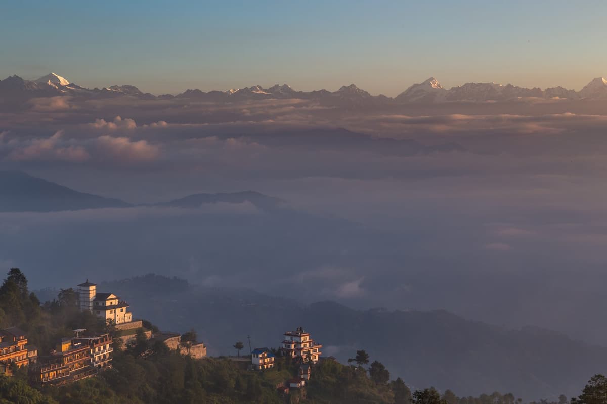
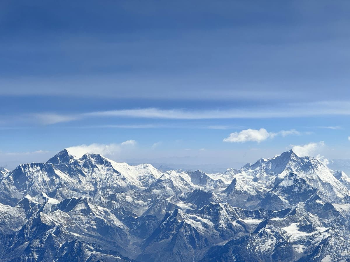
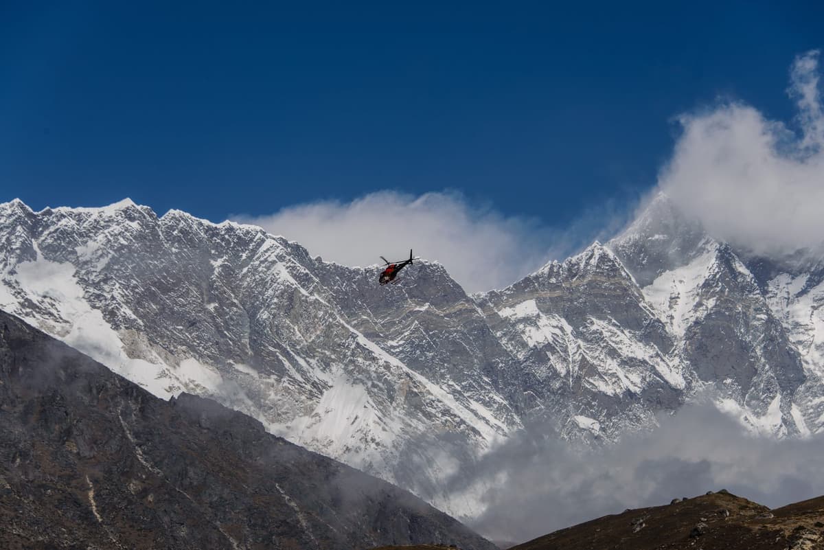
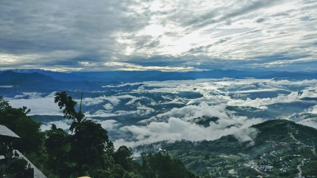
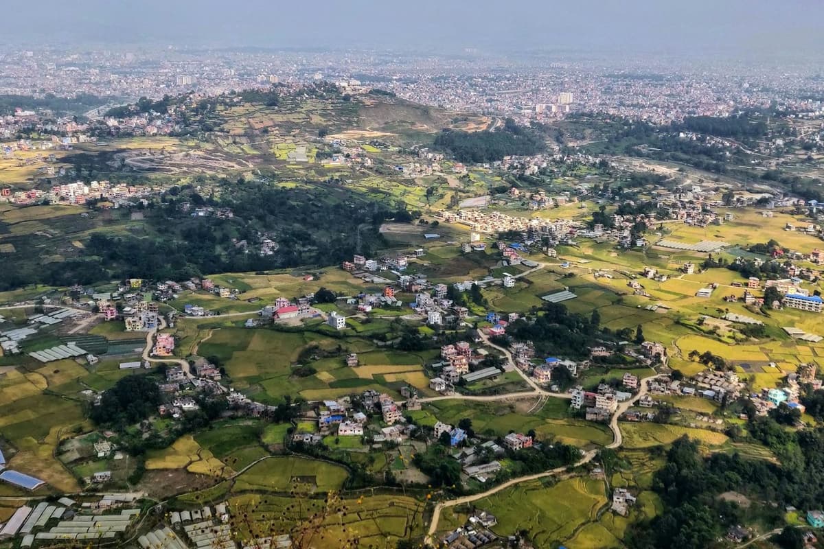
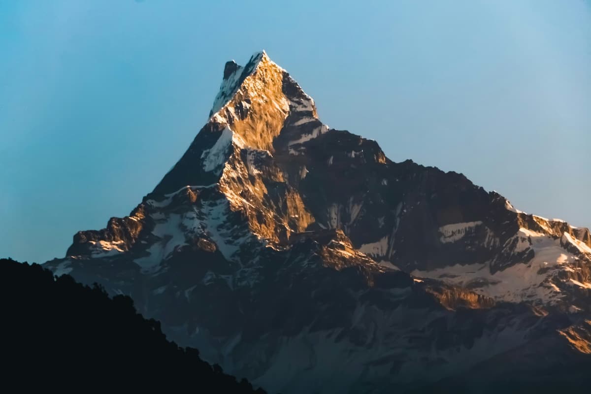
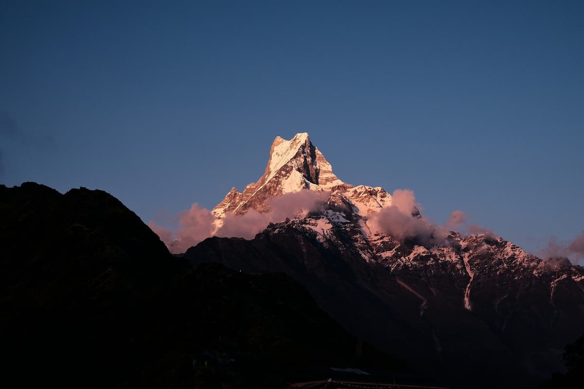
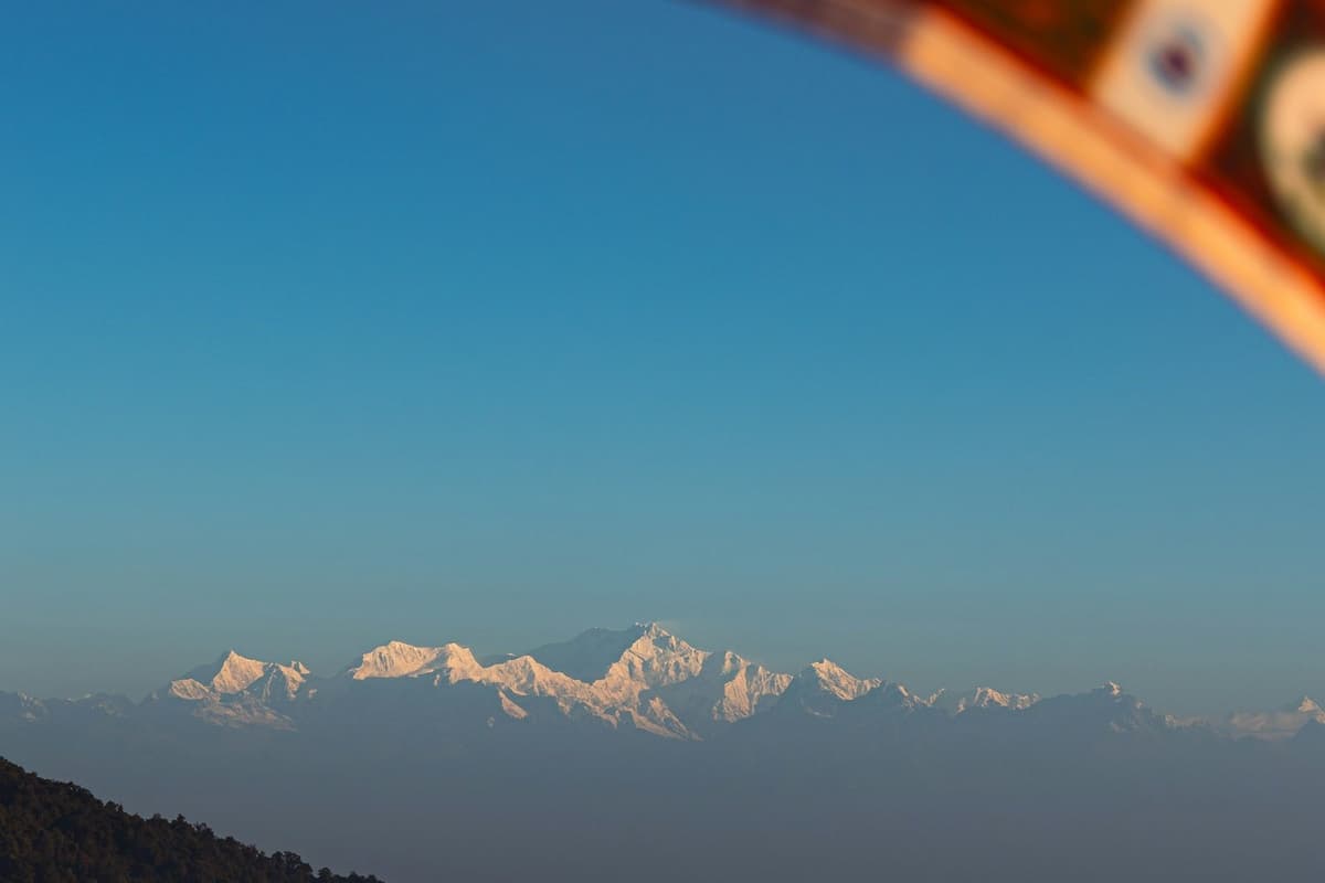
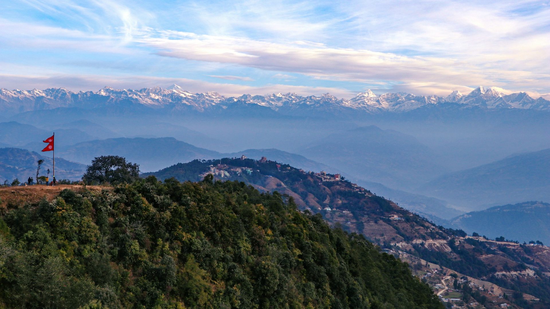
It is still dark when you start up the path from Dhulikhel to the Bhagawati Temple. The climb takes about 30 minutes. At the top you wait in the cool air while the snow peaks catch the first light, a long white line from Langtang in the west to Everest in the east. Below you, the town is only starting to wake.
The short answer: hill stations in Nepal are cool ridge towns and hilltops that you can drive to and sleep in. Near Kathmandu, pick Nagarkot, Dhulikhel, Chandragiri, Kakani or Daman for a day or one night. With more time, Bandipur, Sarangkot, Tansen and Ilam reward two nights or more. October and November bring the clearest skies.
This is the hub for our Insights on hill towns and day trips. It compares 11 places on altitude, drive time, views and season, then gives each its own section, with what we have learned from running trips to them.
Key facts
- Official list
- NTB lists Ilam, Basantapur, Tansen and Bandipur as hill stations, plus Nagarkot, Dhulikhel, Daman and Kakani on Kathmandu's outskirts (Source: Nepal Tourism Board, Hill Stations; checked 2 Oct 2026)
- Near Kathmandu
- Nagarkot, about 30 to 32 km, NTB says 30 to 45 minutes' drive; Dhulikhel, 30 km, about an hour (Source: Nepal Tourism Board; Dhulikhel Municipality; checked 2 Oct 2026)
- Highest on our list
- Kalinchowk temple, above 3,700 m (12,139 ft): high altitude (Source: Himalayan Times; CDC; checked 2 Oct 2026)
- Clearest months
- October and November, after the monsoon (Source: Nepal Tourism Board, Climate; checked 30 Sep 2026)
- Monsoon
- June to September brings 80 per cent of Nepal's rain; it normally withdraws on 2 October (Source: NTB; Department of Hydrology and Meteorology; checked 30 Sep 2026)
- Cooler with height
- Average temperatures drop about 6 °C for every 1,000 m you climb (Source: Nepal Tourism Board, Climate; checked 30 Sep 2026)
What counts as a hill station in Nepal?
A hill station in Nepal is a ridge town or hilltop, cooler than the valley below, that you can drive to and sleep in, visited for its views and town life rather than as a trek stop. The Nepal Tourism Board (NTB), the government's tourism body, keeps a list: Ilam, Basantapur, Tansen and Bandipur, with Nagarkot, Dhulikhel, Daman and Kakani as Kathmandu's outskirts. Its separate "Mid Hills" list adds places such as Sarangkot, Gorkha, Ghalegaun and Ghandruk.
We used both lists and added three places our guests often ask about:
- Chandragiri, a cable-car hilltop on the valley's south-west rim. It is not on NTB's list, so we treat it as a day trip.
- Dhampus and Australian Camp, ridge villages above Pokhara. NTB suggests a night at Dhampus for sunrise and sunset.
- Kalinchowk, a hilltop temple and winter snow trip, much higher than the rest.
NTB notes that "The climate is cool in summer with snow in places like Daman and Nagarkot in winter."
In practice: if you can drive there, sleep there and see mountains from it on a clear day, it counts.
Hill stations in Nepal near Kathmandu and beyond, side by side
Five of the 11 places are close enough to Kathmandu for a day trip or one night: Nagarkot, Dhulikhel, Chandragiri, Kakani and Daman. The other six need a long road day, often via Pokhara, and suit two nights or more.
| Hill station | Altitude | From Kathmandu | Best for | Best months | Our trip |
|---|---|---|---|---|---|
| Nagarkot | 2,175 m (7,136 ft) | About 30 to 32 km; NTB says 30 to 45 min | Sunrise, Changu Narayan walk | Oct and Nov clearest; Oct to Mar dry | Nagarkot sunrise and Bhaktapur; overnight Nagarkot and Bhaktapur |
| Dhulikhel | 1,550 m (5,085 ft) | 30 km; about 1 hour | Old town, Namobuddha hike | Oct and Nov | Dhulikhel and Namobuddha |
| Chandragiri | Top 2,551 m (8,369 ft) | South-west rim; cable car from Thankot, about 10 min | Families, least walking | Oct and Nov | Chandragiri paragliding; Chitlang and Kulekhani |
| Kakani | Just over 2,000 m (6,562 ft) | Nuwakot; no sourced distance | Camping, quiet | Oct and Nov | Kakani camping |
| Daman | Above 2,300 m (7,546 ft) | About 75 km (NTB); 3 to 4 h on our trips | A skyline from Dhaulagiri to Everest | Oct and Nov; Nov very dry | Kulekhani and Daman |
| Bandipur | About 1,000 m (3,281 ft) | Some 140 km; five to six hours on our trips | Old Newar bazaar, slow days | Oct and Nov; June and July wettest | Bandipur and Pokhara getaway; Bandipur and Gorkha |
| Sarangkot | 1,595 m (5,233 ft) at the summit (owner decision 2 Oct 2026; PeakVisor and satellite elevation data) | Via Pokhara (6 to 9 h on our trips), then 30 min at most from Lakeside | Annapurna sunrise, paragliding | Oct and Nov | Bandipur and Pokhara getaway; Australian Camp and Pokhara |
| Dhampus and Australian Camp | Dhampus about 1,650 m; Australian Camp about 2,050 to 2,060 m | Via Pokhara, then under an hour by road and a short walk | A first taste of the Annapurna foothills | Oct and Nov | Australian Camp and Pokhara; Dhampus and Pokhara |
| Tansen | District 250 to 2,000 m | 8 to 10 h by bus (NTB) | History, Rani Mahal | Any time; June and July wettest | No set trip yet |
| Kalinchowk | Temple above 3,700 m | 6 to 7 h to Kuri village on our trip | Winter snow, pilgrimage | Oct to Mar; snow varies | Kalinchowk and Palanchowk Bhagwati |
| Ilam | Antu Danda 2,328 m (7,638 ft) | About 18 h by bus, or fly about 1 h to Bhadrapur plus 3 to 4 h | Tea gardens, Kanchenjunga | Oct to Dec, Feb to Apr (NTB) | No set trip yet |
Distances and times are NTB's figures unless marked "our trips". Traffic, road works and weather can add time.
Which is the best hill station in Nepal for you?
There is no single best hill station in Nepal. It depends on your nights and what you want: a sunrise, a quiet town, snow, or a cable car that saves your knees. These are our picks from running the trips.
Pick by trip length
| Time you have | Our picks | Why |
|---|---|---|
| A day trip | Nagarkot for sunrise; Chandragiri; Dhulikhel with Namobuddha | Short drives from Kathmandu |
| One night | Nagarkot, Dhulikhel, Kakani (camping), Daman | You wake at the viewpoint instead of leaving Kathmandu around 4:30 to 5 am |
| Two nights | Bandipur; Sarangkot with Dhampus or Australian Camp; Kalinchowk | Longer drives: Kalinchowk is 6 to 7 hours each way on our trip |
| Three nights or more | Tansen, Ilam | 8 to 10 hours by bus to Tansen, about 18 hours to Ilam |
Pick by traveller
| Traveller | Our picks | Why |
|---|---|---|
| Families | Chandragiri; Nagarkot overnight | The cable car does the climbing in about 10 minutes; Nagarkot has hotels close to the city |
| Couples | Bandipur; Dhulikhel | An old Newar bazaar with homestays; a quiet sunrise walk above Dhulikhel |
| Photographers | Nagarkot; Daman; Sarangkot | Long panoramas that NTB describes |
| Short on time | Chandragiri; Nagarkot | Both close to Kathmandu; Chandragiri needs almost no walking |
| Winter snow | Kalinchowk; sometimes Daman and Nagarkot | Kalinchowk snow varies year to year; NTB names Daman and Nagarkot for winter snow. Nobody can promise it. |
When is the best time to visit Nepal's hill stations?
October and November are the best months for most hill stations in Nepal, because NTB says the clearest skies come after the monsoon then. December to March stays dry but colder: at the Nagarkot weather station every month from October to March gets under 70 mm of rain, against 473.7 mm in July.
NTB says 80 per cent of Nepal's rain falls between June and September. The Department of Hydrology and Meteorology (DHM) gives the monsoon's normal withdrawal as 2 October, but in every year from 2020 to 2025 it left later. On 30 September 2026 forecasters said the average withdrawal date was approaching; the monsoon had not yet gone. Early October can still bring rain. For the whole country, see our guide to the best time to visit Nepal.
| Month at Nagarkot | Average high °C | Average low °C | Rain, mm |
|---|---|---|---|
| October | 20.6 | 11.3 | 65.8 |
| November | 17.5 | 7.3 | 9.1 |
| December | 14.3 | 4.3 | 11.9 |
| January | 12.9 | 2.9 | 19.3 |
| February | 15.3 | 4.6 | 18.1 |
| March | 19.3 | 7.6 | 25.9 |
| July, for comparison | 22.2 | 15.6 | 473.7 |
Nagarkot weather station, 2,147 m. Temperatures: DHM normals 1991 to 2020. Rainfall: same table, citing AESA 1976 to 2005. Stations are not always at the viewpoint, and higher ground is colder.
In practice: from November to February, pack a proper warm layer for dawn. January nights average 2.9 °C at Nagarkot and 0.8 °C at Daman.
Nagarkot: the classic sunrise hill station
Nagarkot is a hill village on the eastern rim of the Kathmandu Valley, in Bhaktapur district, at 2,175 m (7,136 ft) according to NTB.
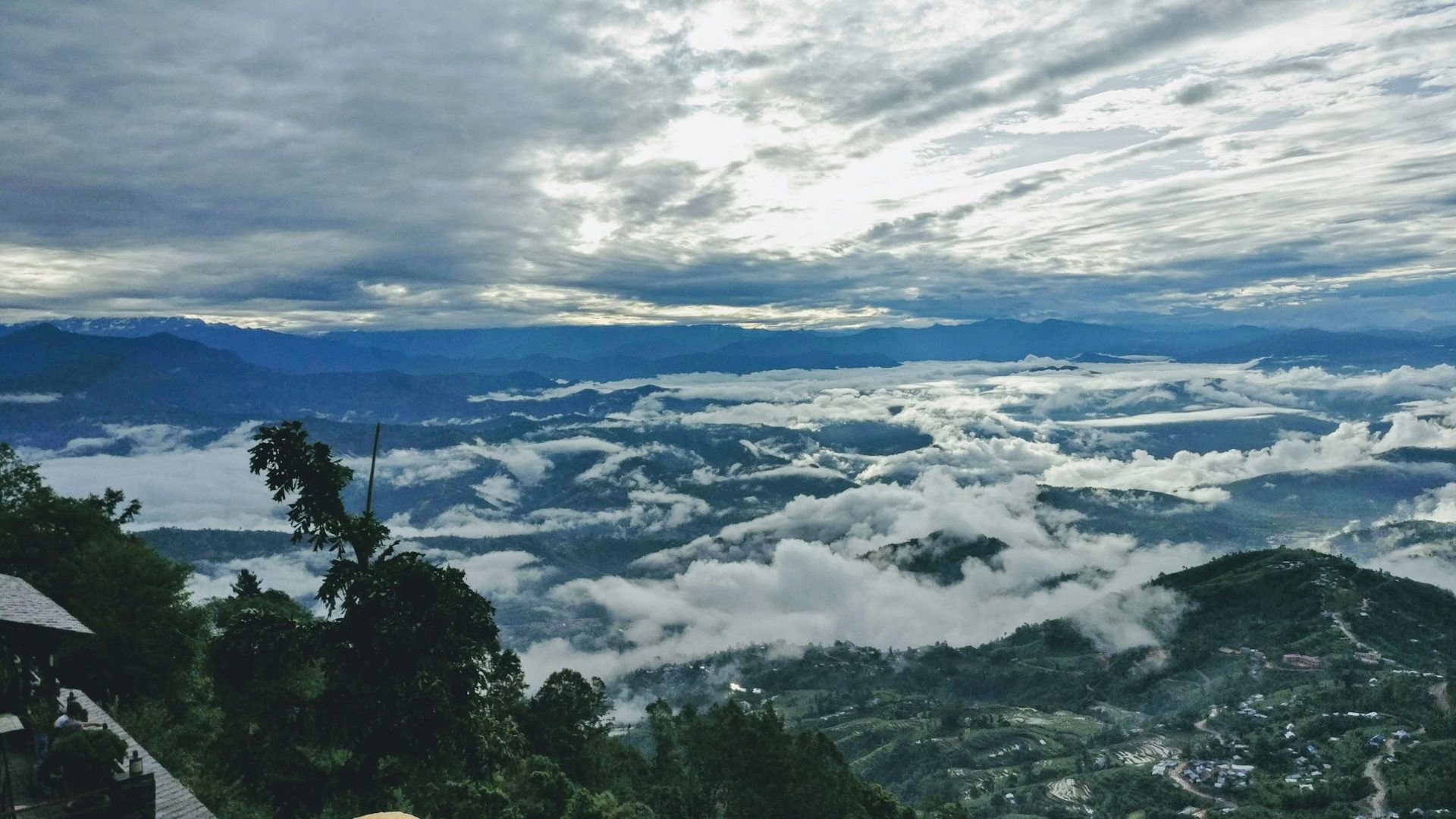
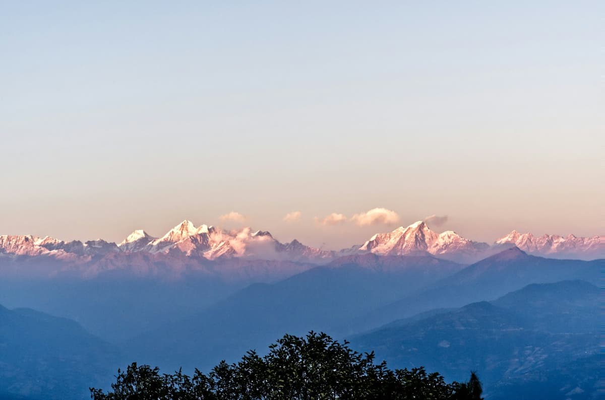
The view. NTB says Nagarkot gives "a panorama of five of the world's 10 tallest peaks", naming Everest, Lhotse, Cho Oyu, Makalu and Manaslu. Everest is 8,848.86 m. Reference sources describe a clear-day skyline from the Annapurnas to the Everest group. Cloud can hide all of it.
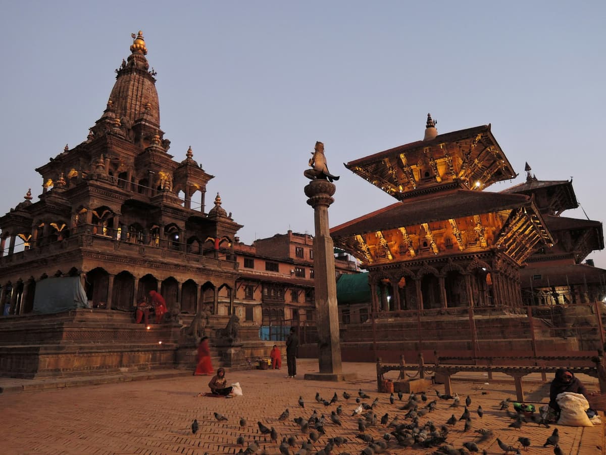
What to do. Watch sunrise or sunset from the ridge or the view tower. Walk down to Changu Narayan: NTB describes a walk "down from Nagarkot along a ridge" to the temple, between Sankhu and Bhaktapur. Changu Narayan is one of the seven Monument Zones of the Kathmandu Valley World Heritage property, inscribed by UNESCO in 1979.
"Changu Narayan comprises traditional Newari settlement, and a Hindu temple complex with one of the earliest inscriptions in the Valley from the fifth century AD." UNESCO World Heritage Centre, Kathmandu Valley
NTB lists Changu Narayan entry at NPR 300 for foreigners and NPR 100 for SAARC nationals. If you add Bhaktapur Durbar Square on the way back, it is USD 18 or NPR 1,800 for foreigners, NPR 500 for SAARC nationals, and free for children under 10.
Getting there and staying. NTB calls it "only 30 to 45 minutes' drive"; morning traffic can make it longer. NTB says "Good hotels and resorts are available", and camping is an alternative.
With us. Our sunrise tour leaves Kathmandu around 4:30 to 5 am and takes about 7 to 8 hours; the overnight tour lets you sleep on the ridge instead.
In practice: if sunrise is the point, sleep there.
Dhulikhel and Namobuddha: an old trading town with a sunrise walk
Dhulikhel is a hill town in Kavrepalanchok district, 30 km south-east of Kathmandu on the Araniko Highway, at 1,550 m (5,085 ft) according to the municipality. NTB puts it about an hour's drive east of Kathmandu.
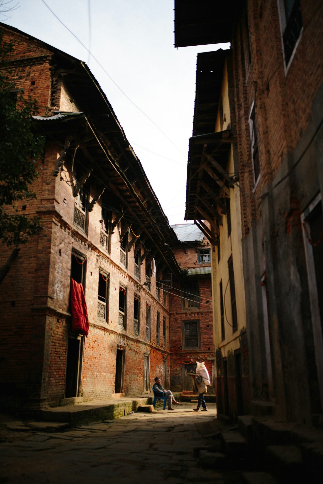
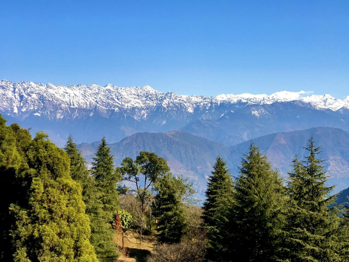
The view. The municipality says that "The Himalayan ranges from the twin crest of Mt. Langtang in the west to the Mt. Everest in the east can be clearly viewed in a clear day". It counts more than 20 peaks, including Ganesh Himal, Gaurishankar (7,134 m) and Lhotse (8,516 m).
The history. NTB calls Dhulikhel "an important trade post", and the municipality says it "was once known by the Buddhist name of Shrikhandapur".
What to do.
- Walk up to the Bhagawati Temple for sunrise, about 30 minutes from town.
- Hike to Namobuddha: "an interesting and pleasant three-hour hike from the town", says the municipality; NTB puts the round trip at eight hours.
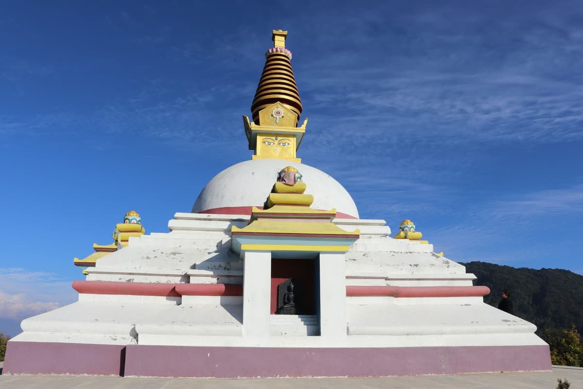
- Visit Thrangu Tashi Yangtse Monastery, a Karma Kagyu monastery beside the stupa.
Namobuddha has a famous legend. In NTB's words: "Legend tells that the Buddha sacrificed his body here to feed a starving tigress and her cubs. A carved stone slab on the top of the hill depicts the moving story".
Staying and with us. NTB says "Good hotels and resorts are available". Our Dhulikhel and Namobuddha tour covers both.
In practice: Dhulikhel suits people who want a town to wander as well as a view.
Chandragiri: the hilltop you reach by cable car
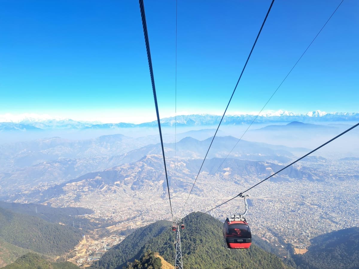
Chandragiri is a hilltop on the south-west rim of the Kathmandu Valley. A cable car from Thankot climbs from 1,550 m to a top station at 2,551 m (8,369 ft), according to the operator; a 2016 Kathmandu Post report gave 2,540 m. The ride takes about 10 minutes.
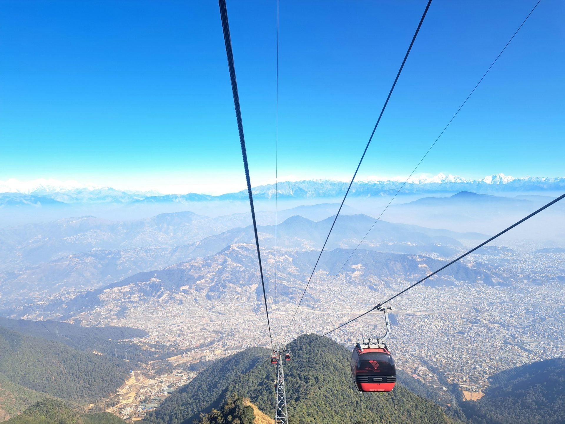
At the top. The Bhaleshwor Mahadev temple, a view tower and observatory, restaurants, a resort, and activities such as a zipline. The operator lists Everest, Manaslu, Ganesh and Gaurishankar among the peaks in view.
The history. By tradition, Prithvi Narayan Shah planned the unification of Nepal from this hill. NTB says the old road over Chandragiri to Chitlang and Kulekhani "was once the only means to enter this enchanting valley".
"Vintage photographs show sixty porters struggling to carry a motor car along this road" Nepal Tourism Board, Chandragiri, Chitlang and Kulekhani trip idea
The cable car closed after damage during unrest in September 2025 and reopened in November 2025.
Tickets. Fares are set in three currencies and include all taxes:
| Ticket | Foreigners | SAARC nationals | Nepalese |
|---|---|---|---|
| Two-way | USD 23 | INR 950 | NPR 850 |
| One-way | USD 13 | INR 570 | NPR 510 |
| Express two-way | USD 25 | INR 1,250 | NPR 1,350 |
Source: Chandragiri Hills cable car page, checked 2 Oct 2026. The operator's discounts are listed for Nepalese nationals only.
Opening hours. Sunday to Friday, 8:00 am to 6:00 pm, with a break from 12:00 to 1:00 pm; Saturday, 8:00 am to 8:00 pm, with no break on Saturdays and public holidays. Check on the day.
With us. We run Chandragiri paragliding, and our Chitlang and Kulekhani tour crosses the Chandragiri hills.
In practice: a big view near Kathmandu without an uphill walk.
Kakani: the quiet hill north of the valley
Kakani is in Nuwakot district, and NTB lists it among the hill stations on Kathmandu's outskirts. It sits just over 2,000 m (6,562 ft). It is known for views of Ganesh Himal and the Langtang range, has long hosted a British Gurkhas welfare bungalow, and is known locally for strawberries.
Best time. Kakani is wet in the monsoon: its weather station logs 737.5 mm of rain in July against 9.0 mm in November. Go in October or November.
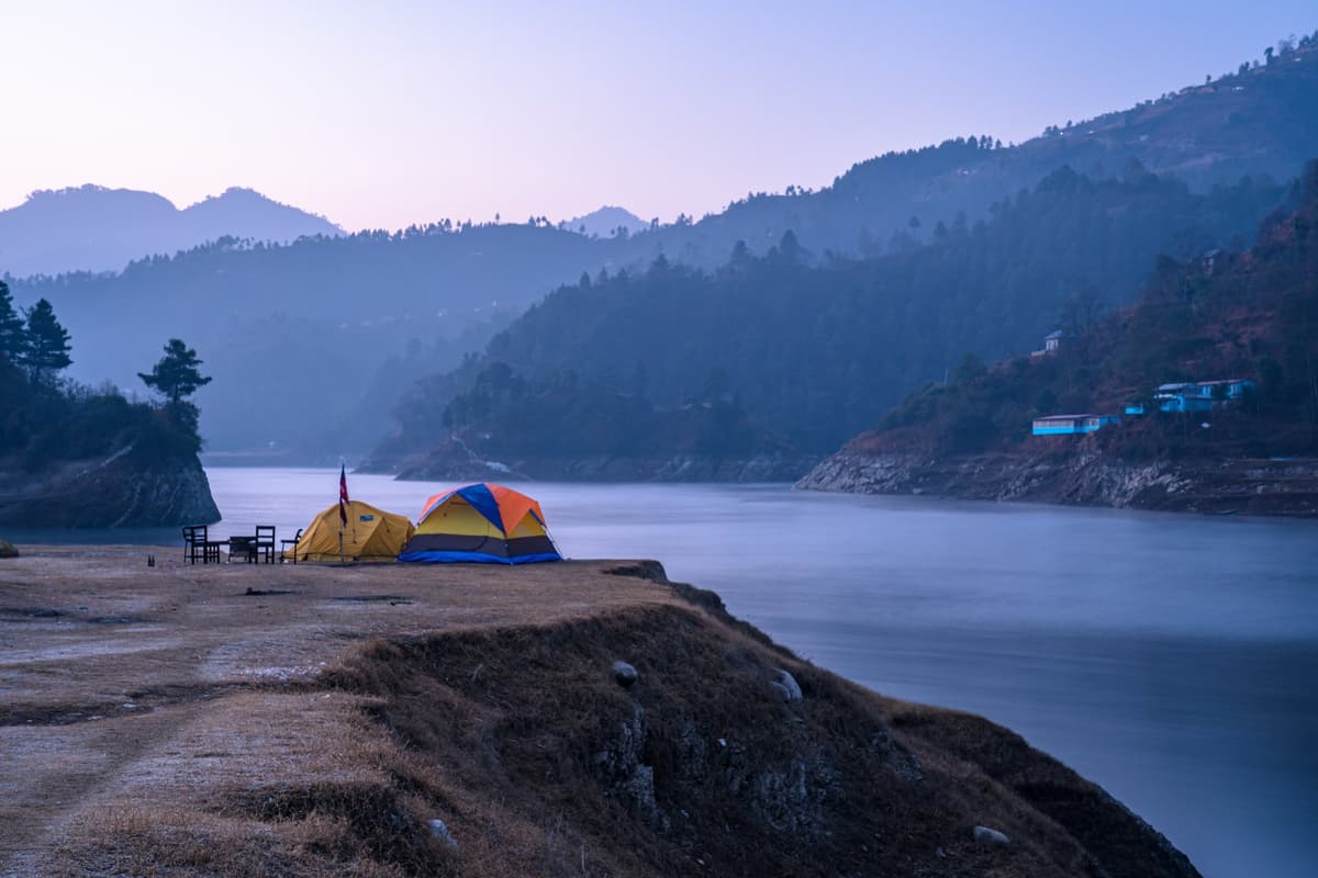
Staying and with us. NTB says "Good hotels and resorts are available". Our Kakani trip is a camping night. We give no distance from Kathmandu because we could not find a source we trust.
In practice: pick Kakani for a quieter night than Nagarkot, especially if you like the idea of a tent.
Daman: the long skyline on the old highway
Daman is in Makwanpur district, about 75 km south-west of the Kathmandu Valley on the Tribhuvan Highway, according to NTB. Sources disagree on its height: NTB says 2,400 m and the Daman weather station sits at 2,314 m, so we say above 2,300 m (7,546 ft).
The view. NTB says Daman offers "a full 400 km of ice-cast peaks", from Dhaulagiri (8,167 m) to Everest. Below the ridge, "The Palung Valley, with its jigsaw patterned terraces stretches to the north and west."
What to do. Climb the viewing tower at first light, walk to the small Buddhist monastery about an hour from the viewpoint, and look round the botanical garden.
Best time. November averages 7.9 mm of rain at the Daman station, and January nights 0.8 °C. NTB names Daman as a place that can see snow in winter.
With us. Our Kulekhani and Daman tour takes about 3 to 4 hours each way on the hill highway.
In practice: go in October or November, start early, and bring a warm jacket even then.
Bandipur: the Newar bazaar town on the ridge
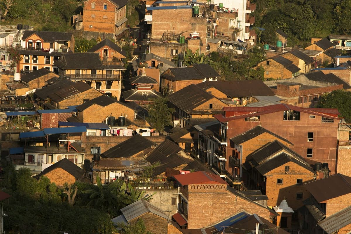
Bandipur is a hill town in Tanahun district on a ridge of about 1,000 m (3,281 ft) above the Marshyangdi river valley, according to NTB. It is some 140 km from Kathmandu, roughly on the way to Pokhara. In our view, it feels more like an old town than anywhere else here.
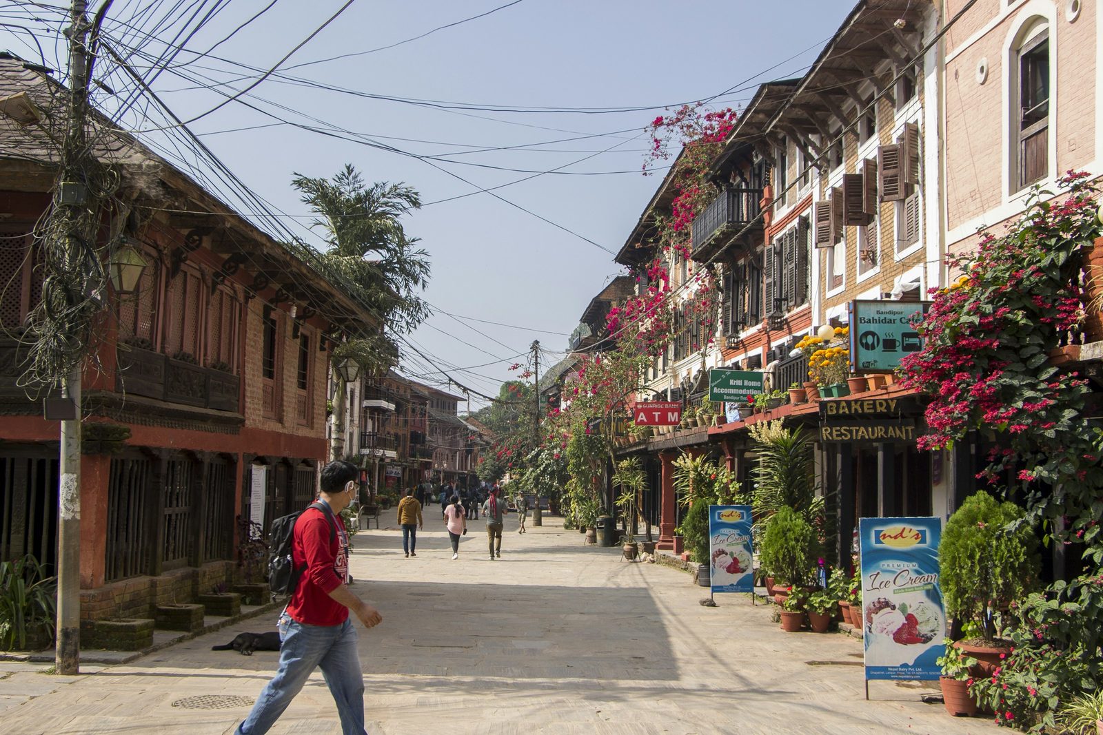
The history. NTB calls Bandipur "Once a vibrant commercial center on the Tibet-India trade route" and "predominantly a Newar town"; its Newar traders came from the Kathmandu Valley. The rural municipality calls it "a business transit of Kaski, Lamjung, Gorkha and Manang districts before it was connected by a motorable road".
The view. NTB calls it a 300 km "visual tour" of the central Himalaya, from the Jugal Himal west past Langtang, Ganesh Himal, Manaslu and the Annapurnas to Dhaulagiri and Kanjiroba. The Tundikhel ground gives 180-degree views and the Thani Mai temple a 360-degree view.
What to do.
- Walk the bazaar to the Bindhyabasini temple, a pagoda temple of Durga; at the Bisket Jatra festival in mid-April the idol is carried on a palanquin.
- See Siddha Gufa, Nepal's largest cave according to NTB and the rural municipality.
- Visit the Khadga Devi sword shrine, which opens once a year during Dashain, in October or November.
Getting there. Leave the main road at Dumre, 143 km from Kathmandu and 73 km from Pokhara (NTB), then drive about 8 km up, or walk the old caravan trail in about two hours.
Weather and stay. NTB gives 12 to 33 °C in summer and 2 to 21 °C in winter, with most rain in June and July, and lists "Tourist standard hotels, inns and homestays".
With us. On our trips the drive from Kathmandu takes five to six hours. Our Bandipur and Pokhara getaway and our Bandipur and Gorkha tour both run over 3 days.
In practice: stay two nights so you get one full, unhurried day in town.
Sarangkot: Pokhara's own hill station
Sarangkot is a ridge on the western side of Pokhara, the lakeside city west of Kathmandu, and NTB lists it among its "Mid Hills" destinations. NTB says it is 11.3 km from Lakeside and takes 30 minutes at most. The summit, where the view tower stands, is at 1,595 m (5,233 ft).
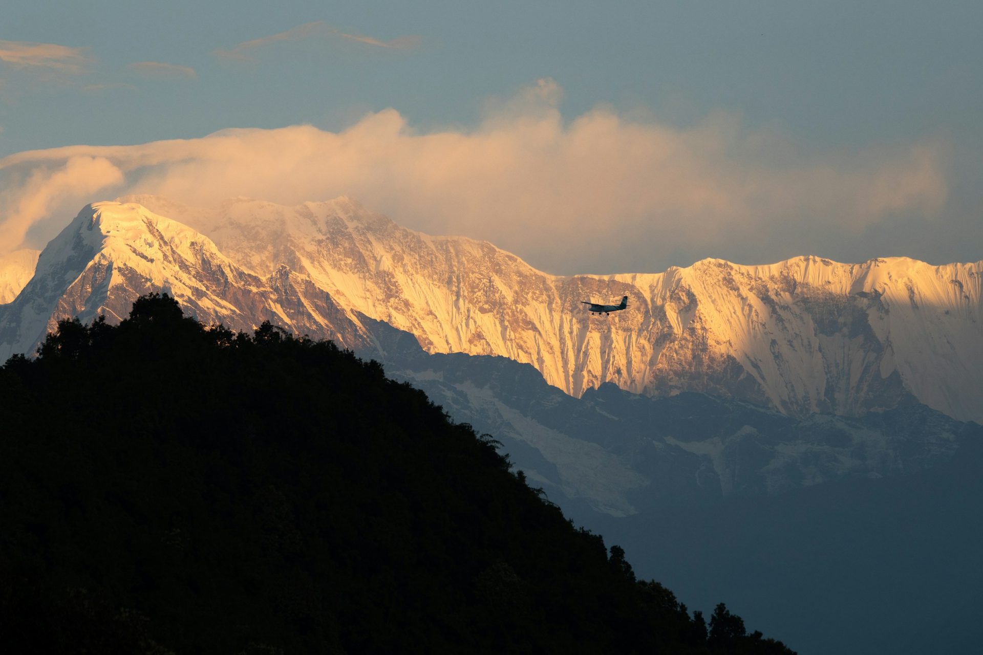
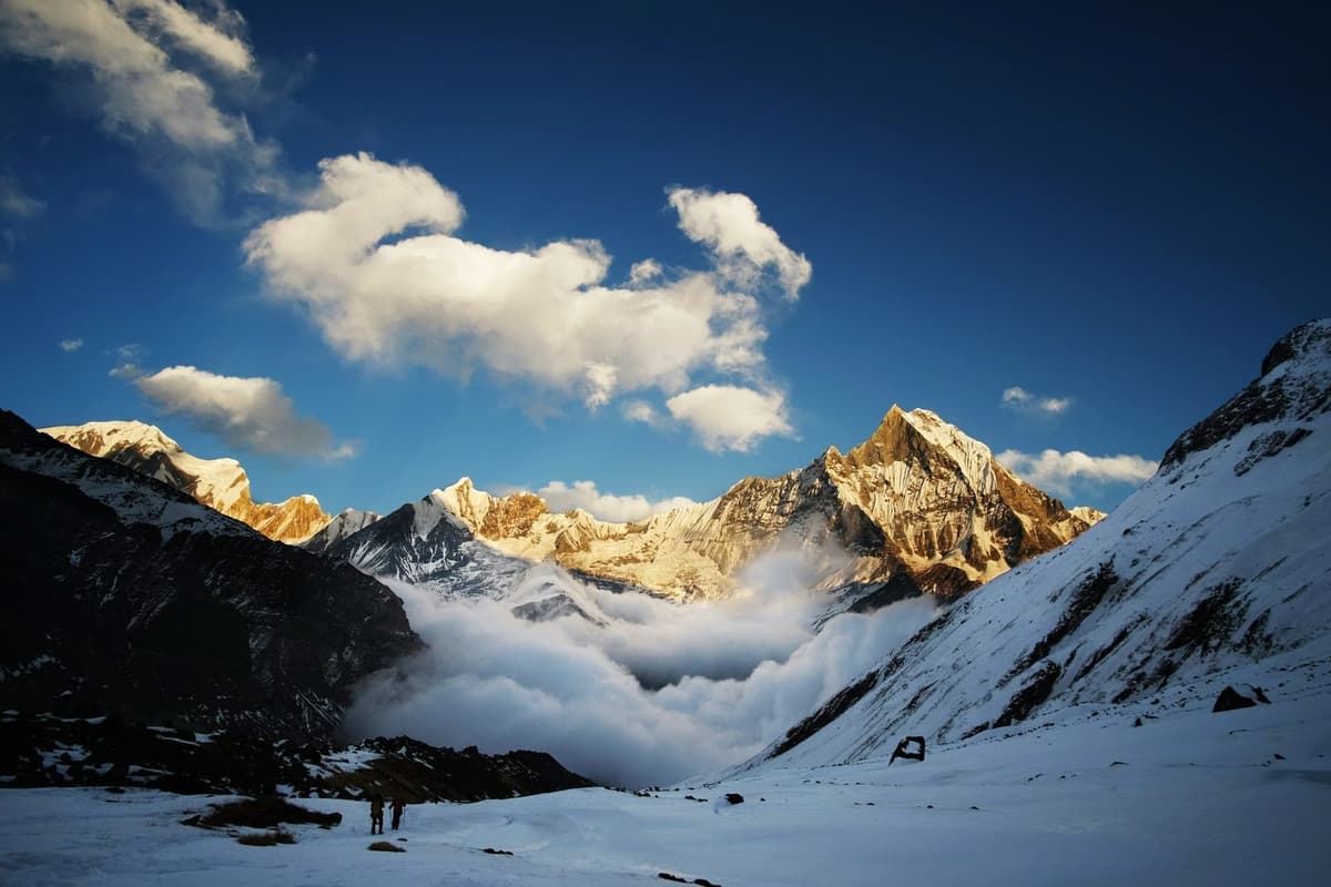
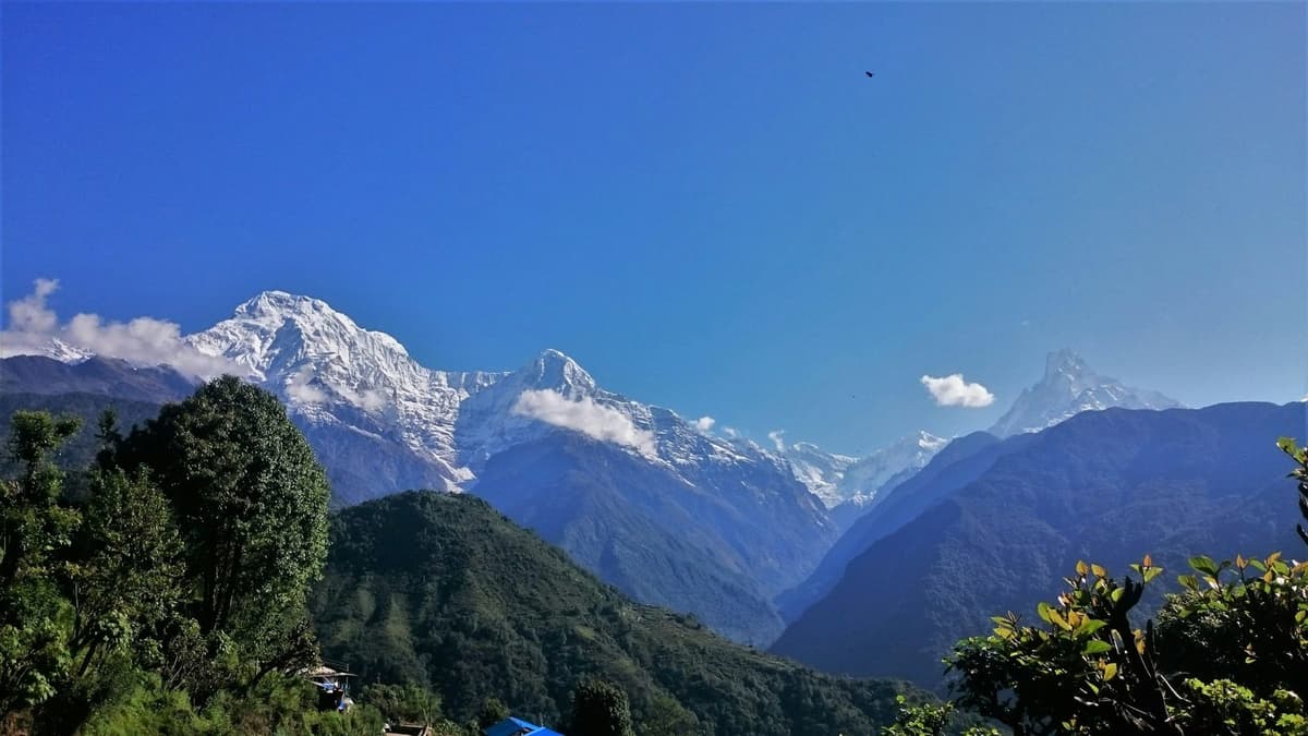
The view. NTB describes a panorama from Dhaulagiri in the west, past Machhapuchhre and Annapurna II, to Lamjung Himal in the east. Dhaulagiri is 8,167 m, Annapurna II 7,937 m and Lamjung Himal 6,983 m. Machhapuchhre, the "fishtail", sits in between.
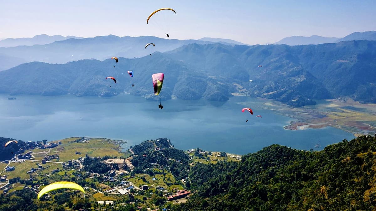
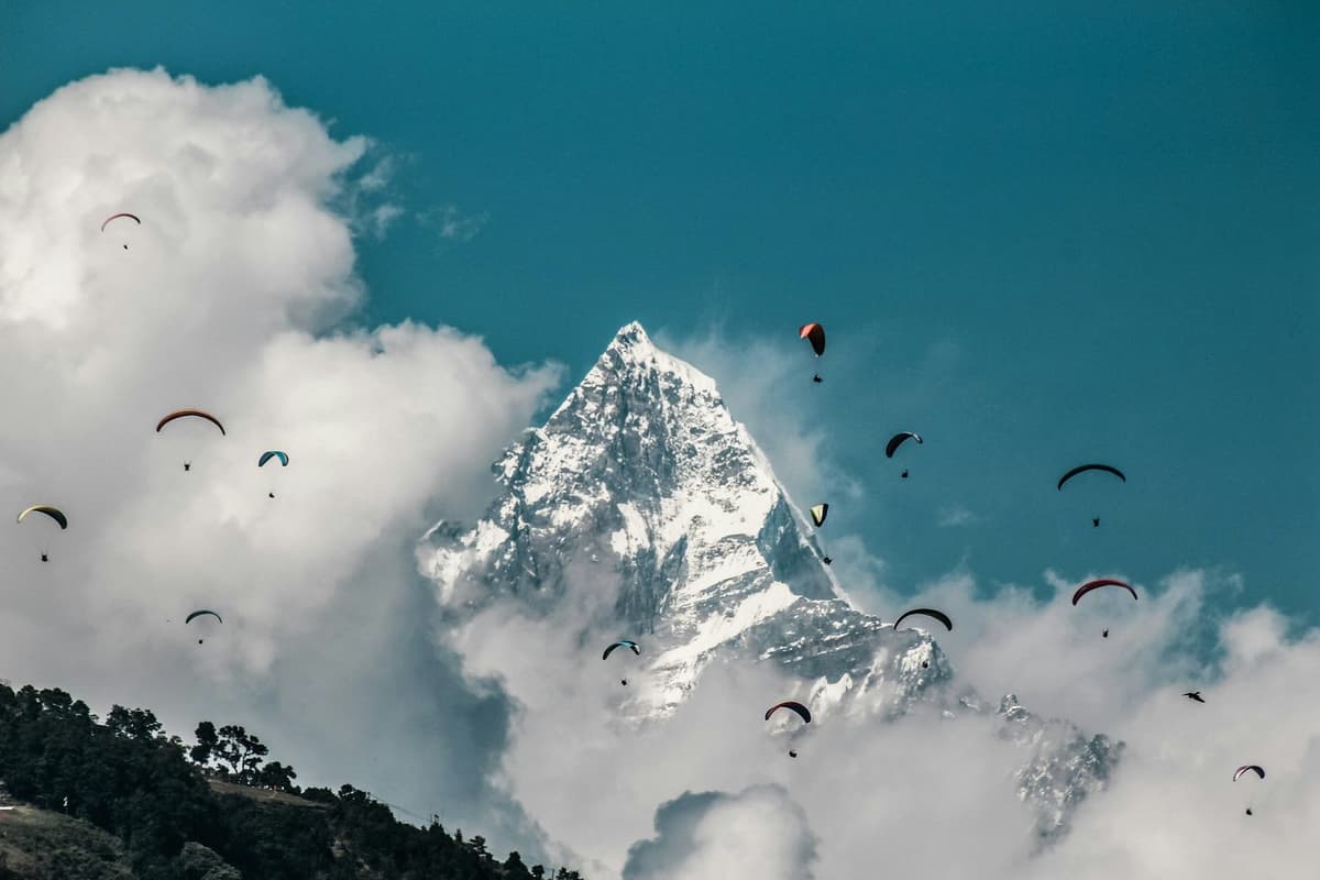
What to do. Sunrise from the view tower; paragliding, which NTB calls "one of the top paragliding destinations in the world"; a zipline; birdwatching. NTB lists "luxury resorts and comfortable hotels alongside moderate lodges".
With us. On our trips Kathmandu to Pokhara takes six to nine hours on the Prithvi Highway. Sarangkot sunrise is part of our Bandipur and Pokhara getaway.
In practice: if you are in Pokhara anyway, give Sarangkot one early morning.
Dhampus and Australian Camp: ridge villages above Pokhara
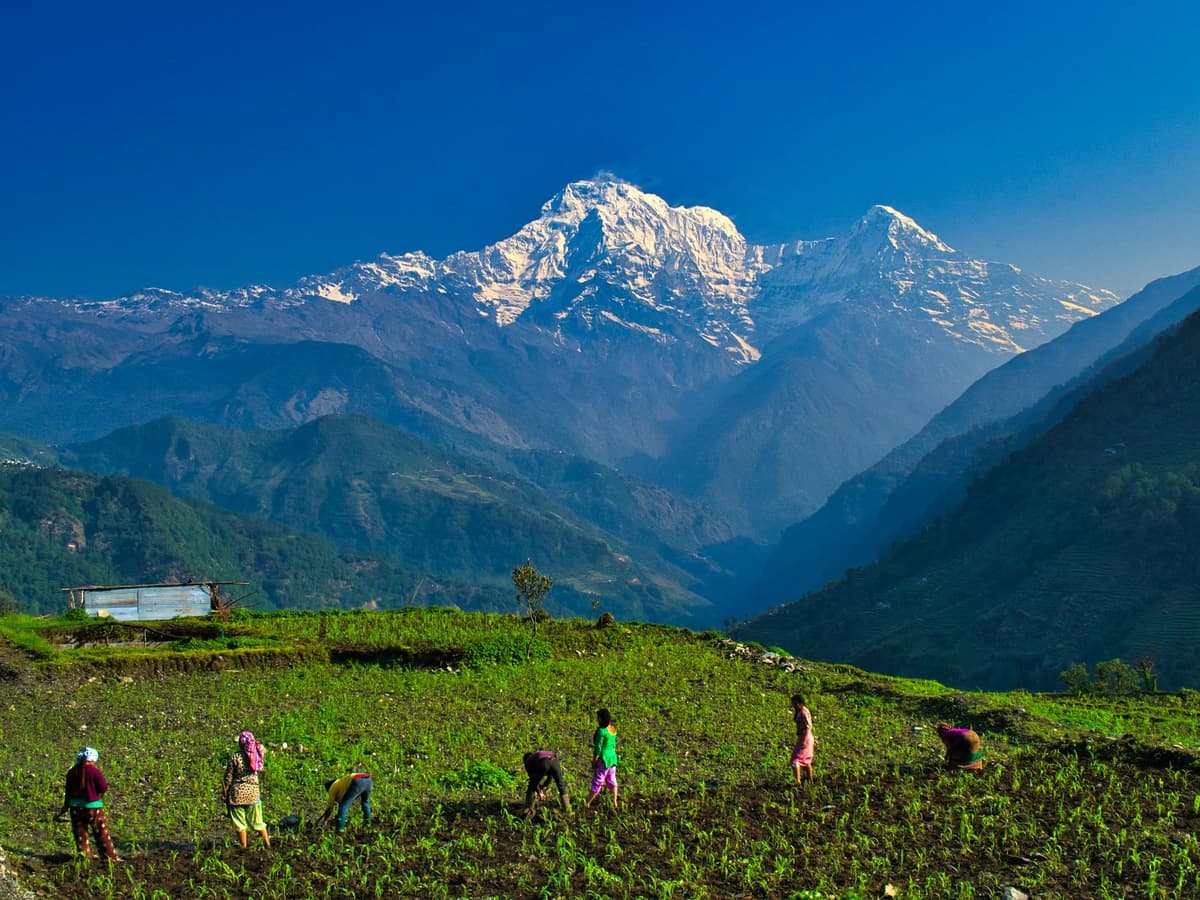
Dhampus and Australian Camp are ridge villages above Pokhara, reached by road plus a short walk. NTB suggests a night at Dhampus to see sunrise and sunset "over one of the best mountain vistas in Nepal". Travel guides put Australian Camp at about 2,050 to 2,060 m (6,726 to 6,759 ft); Dhampus sits lower, at about 1,650 m (5,413 ft).
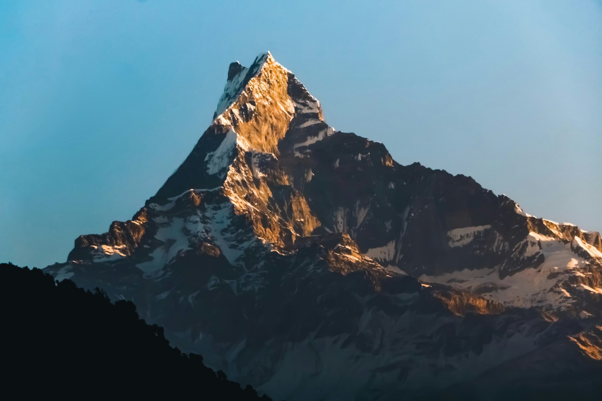
Getting there. Travel guides put the trailhead under an hour by road from Pokhara, then a short walk up. After heavy rain we check the road to the Kande trailhead before we leave.
Permit. Both villages lie inside the Annapurna Conservation Area, so the ACAP entry permit applies: NPR 3,000 for foreigners and NPR 1,000 for SAARC nationals, children under 10 exempt, and double the fee if bought at a checkpost. On our Australian Camp trips the permit is included; on our Dhampus trips it is an optional add-on that we arrange if you tick it.
With us. Our Australian Camp and Dhampus tours start in Kathmandu, go via Pokhara and run over 3 or 4 days: a taste of trekking-village life without committing to a trek.
In practice: the hill station for people who want to walk a little and wake up close to the Annapurnas.
Tansen: the old Sen capital above the Kali Gandaki
Tansen, in Palpa district, is "a picturesque hill town lying on the lap of the Srinagar Hills", midway between the Indian border and Pokhara, according to NTB. The district ranges from 250 to 2,000 m; we give no height for the town, because the figures we found disagree.
The history. NTB says Palpa "was the seat of the Sen kingdom that ruled over this region from the 16th century for almost 300 years". Newar families later "migrated to Palpa in search of opportunities of trade and craft".
What to see.
- Srinagar hill. "The hilltop of Srinagar provides the most extensive mountain views from Dhaulagiri in the west to Gauri Shanker in the northeast", says NTB, and a statue of the Buddha stands at its eastern end.
- Rani Mahal. A palace on the Kali Gandaki "built by Khadga Shumshere Rana in memory of his wife Tej Kumari", often called the Taj Mahal of Nepal and designed by British engineers from Calcutta, in the 1890s.
- The bazaar. Makhan Tole for brass and Dhaka cloth, used for the traditional topi cap; the Baggi Dhoka gate; and the Amar Narayan temple.
Getting there and staying. NTB gives bus times of 8 to 10 hours from Kathmandu and 7 from Pokhara. It says Tansen "can be visited at any time of the year", with most rain in June and July, and has "Moderate hotels and lodges".
With us. We do not have a set Tansen trip yet.
In practice: Tansen is for people who like history more than viewpoints and do not mind a long road day.
Kalinchowk: snow, a hilltop temple and a cable car
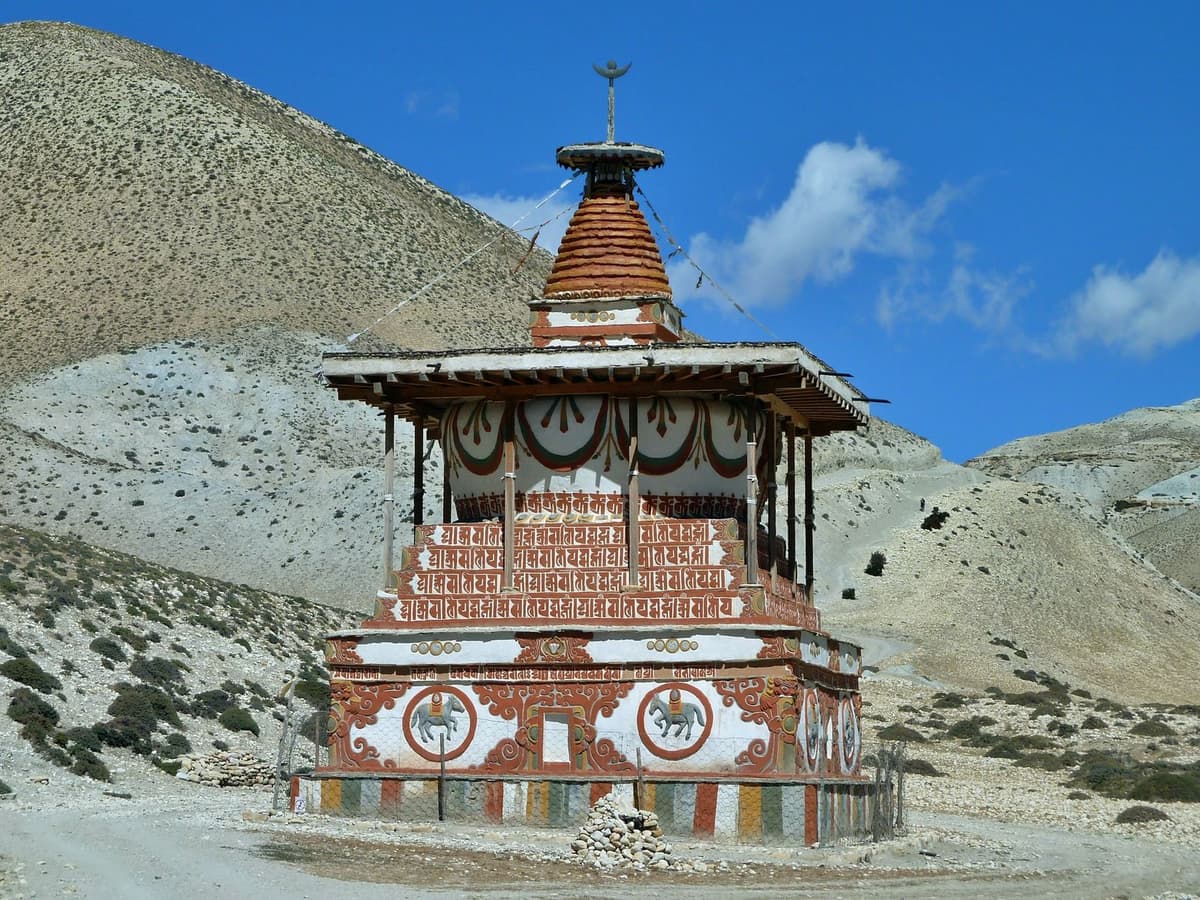
Kalinchowk is a hilltop Bhagwati temple in Dolakha district and the highest place on this list: above 3,700 m (12,139 ft). Published figures differ, so we use that floor. A cable car, the third in the country, has run here since 2018.
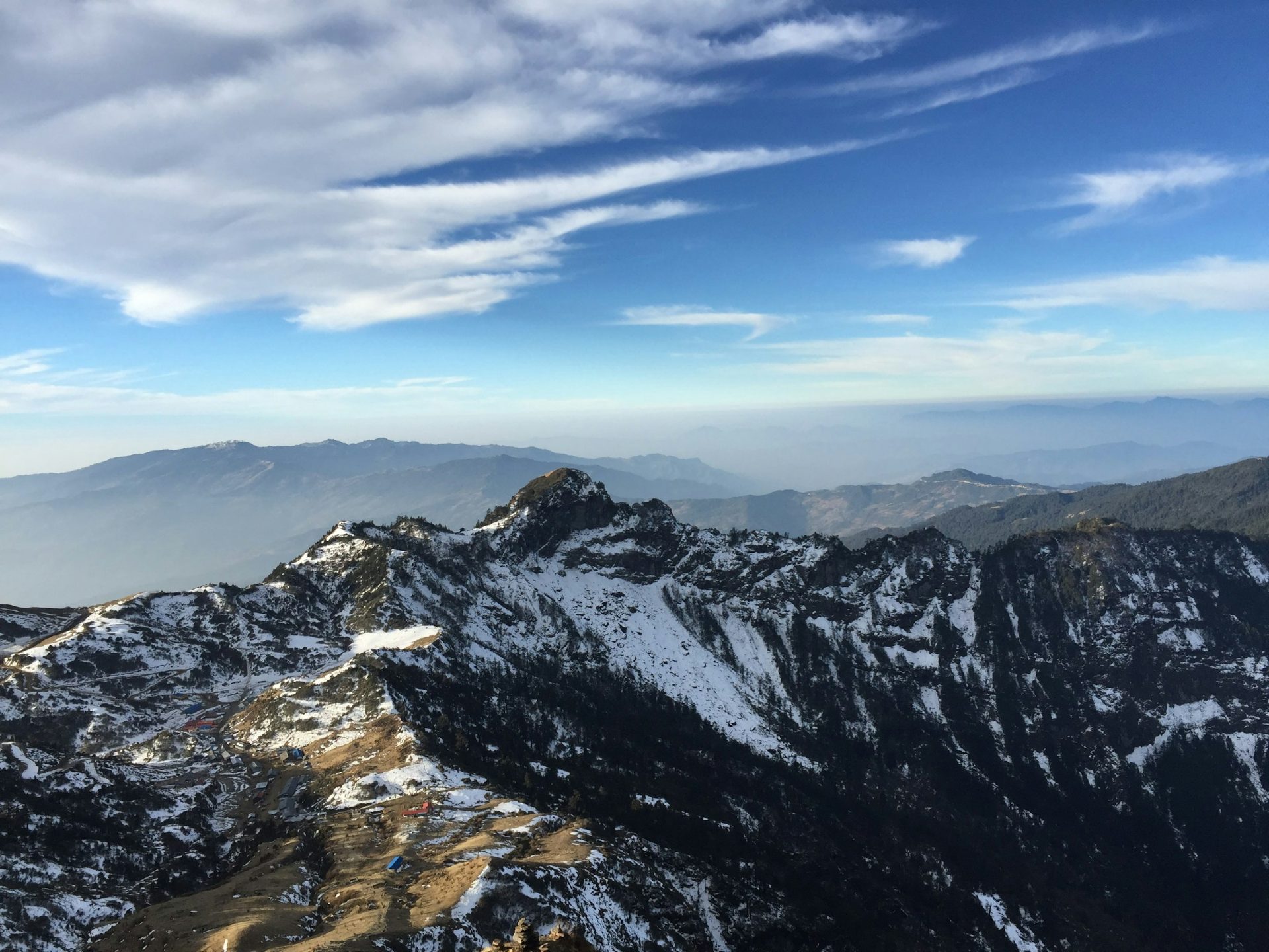
This is high altitude. The US CDC says any traveller who is not acclimatised and sleeps at about 2,450 m (8,000 ft) or higher, and sometimes lower, is at risk of altitude illness. The temple is well above that height. Go up slowly, and come down if you feel unwell. Read the CDC's guidance on altitude illness before you go, especially with children or older parents.
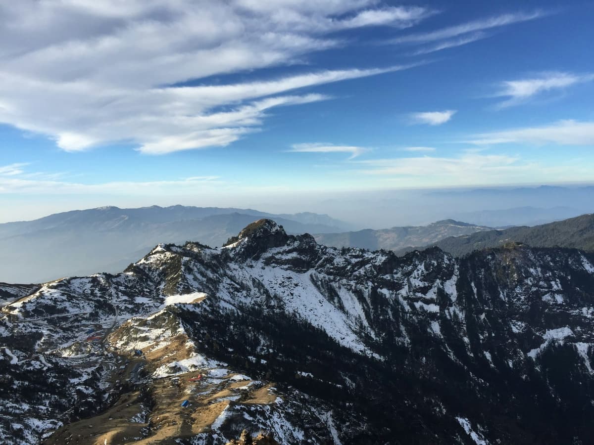
Snow and views. Snow comes in winter but varies from year to year; recent seasons saw it from early January to late February. Nobody can promise snow on a given date, and we won't. On a clear day the top gives a wide Himalayan skyline.
With us. On our Kalinchowk and Palanchowk Bhagwati tour, the drive to Kuri village takes about 6 to 7 hours each way via the Araniko Highway and Charikot; from Kuri you take the cable car (check that it is running) or walk up to the temple in about an hour, longer in snow. Our trip page gives October to March as the season. After heavy rain we check road status before we leave.
In practice: treat Kalinchowk as a mountain trip, not a resort weekend, and dress for real cold.
Ilam: tea gardens and Kanchenjunga in the far east
Ilam is a district in Koshi Province, in Nepal's far east, best known for tea. NTB says its elevations range from 140 m to 3,636 m, with viewpoints at Antu Danda (2,328 m, 7,638 ft), Mai Pokhari (2,121 m) and Sandakpur (3,636 m).
"Nepal has a long history of Tea cultivation, initiated with the establishment of Ilam Tea Estate in the Hills of Ilam District in 1863." National Tea and Coffee Development Board
The tea story. The board credits Gajaraj Singh Thapa with planting Ilam's first tea. The first tea-processing factory in Ilam came only in 1978, and in 1982 five districts, Jhapa, Ilam, Panchthar, Dhankuta and Terhathum, were declared tea zones.
The view. From Antu Danda, NTB describes views of Kanchenjunga (8,586 m) and Kumbhakarna; from Sandakpur, sunrise over Kanchenjunga with Makalu and Everest alongside. Sandakpur is above about 2,450 m, the sleeping height from which the CDC says altitude illness is a risk, so take it slowly.
What to do. Walk the Kanyam and Fikkal tea estates, which NTB says "have made Ilam famous for more than a hundred years". Try akbare khursani, a small round red chilli, and Ilam's "excellent cheese".
Getting there and staying. NTB says daily buses from Kathmandu take about 18 hours, or you can fly to Bhadrapur, about an hour, then drive 3 to 4 hours. NTB recommends October to December or February to April. There are "many hotels in the town and a few resorts" in the tea gardens, and homestays at Shree Antu.
With us. We do not have a set Ilam trip yet.
In practice: Ilam is a trip in its own right. Give it at least three nights.
Also worth knowing: Chisapani, Chitlang and Ghandruk
- Chisapani is an overnight stop on the trail from Sundarijal through Shivapuri Nagarjun National Park, so you walk in rather than drive. Park entry is NPR 1,000 for foreigners and NPR 600 for SAARC nationals. We run hikes there from Sundarijal and on to Nagarkot.
- Chitlang is, in NTB's words, "a fertile valley" with an old Newar village at its centre, homestays and a resort; legend says the Malla royals escaped there. It is the stop between Chandragiri and Kulekhani on our Chitlang and Kulekhani tour.
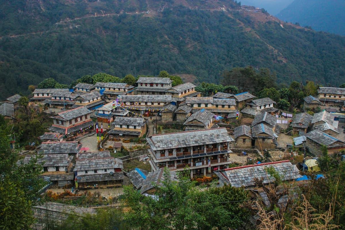
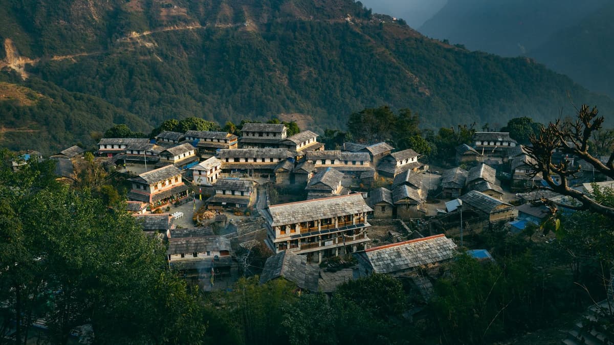
- Ghandruk is "a traditional Gurung village" in the Annapurna Conservation Area, with a Gurung museum and views of Annapurna South, Gangapurna, Annapurna III, Hiunchuli and Machhapuchhre. The ACAP permit applies. We run Ghandruk trips from Pokhara.
NTB's list also includes Basantapur in the far east. We do not run trips there yet.
Notes for travellers from India
- SAARC rates. Several fees have a SAARC rate, which applies to Indian nationals: Chandragiri cable car INR 950 two-way, Changu Narayan NPR 100, Bhaktapur Durbar Square NPR 500, the ACAP permit NPR 1,000, and Shivapuri Nagarjun National Park NPR 600.
- Chandragiri discounts are listed for Nepalese nationals only, so budget the full SAARC fare for every family member.
- By road from the border. NTB places Tansen midway between the Indian border and Pokhara, two hours by bus from Butwal, a natural night's stop on the way to Pokhara.
- Two Bandipurs. Searches for "Bandipur" often bring up Bandipur National Park in Karnataka. Nepal's Bandipur is the Newar hill town in Tanahun described above.
- Snow with older parents. Kalinchowk is high altitude. If anyone in your group has heart or breathing problems, ask their doctor first, and consider Nagarkot or Daman in winter instead.
The full series: hill towns and day trips
This hub links to every article in the series as it goes live. Until then, each is marked "coming soon".
| Article | Planned link | Status |
|---|---|---|
| Chandragiri Cable Car and Hills: A Visitor's Guide | /insights/chandragiri-cable-car/ | Live now |
| Nagarkot: Sunrise, Viewpoints and Hikes Near Kathmandu | /insights/nagarkot-nepal/ | Live now |
| Bandipur, Nepal: What to See in the Hill Town | /insights/bandipur-nepal/ | Live now |
| Kathmandu Hiking: Day Hikes on the Valley Rim | /insights/kathmandu-hiking/ | Live now |
| Kathmandu Day Trips: Where to Go in One Day | /insights/kathmandu-day-trips/ | Live now |
| Kalinchowk: Snow, Temple and Cable Car | /insights/kalinchowk/ | Coming soon |
| Where to See Snow in Nepal Without a Long Trek | /insights/snow-in-nepal/ | Coming soon |
| Kathmandu to Kalinchowk: Road, Time and Snow Season | /insights/kathmandu-to-kalinchowk/ | Coming soon |
| Dhulikhel: The Hill Town East of Kathmandu | /insights/dhulikhel/ | Coming soon |
| Trishuli River: Rafting, Seasons and Where It Runs | /insights/trishuli-river/ | Coming soon |
| Bhote Koshi River: Rafting and Bungee Near the Border | /insights/bhote-koshi-river/ | Coming soon |
| Namo Buddha Stupa: Visiting Guide | /insights/namo-buddha/ | Coming soon |
| Nagarkot Hiking Trails: Changu Narayan and Chisapani | /insights/nagarkot-hiking-trail/ | Coming soon |
| Gorkha Durbar: Visiting the Hilltop Palace | /insights/gorkha-durbar/ | Coming soon |
| Kathmandu to Nagarkot: Distance, Bus and Taxi | /insights/kathmandu-to-nagarkot/ | Coming soon |
| Kathmandu to Bandipur: Road, Time and Stops | /insights/kathmandu-to-bandipur/ | Coming soon |
| Champadevi Hike: Trail, Time and What to Expect | /insights/champadevi-hike/ | Coming soon |
| Ilam, Nepal: Tea Gardens of the Far East | /insights/ilam-nepal/ | Coming soon |
| Nagarkot to Dhulikhel Hike: The Ridge Walk | /insights/nagarkot-to-dhulikhel-hike/ | Coming soon |
| Sailung, Dolakha: The Hill of a Hundred Hills | /insights/sailung/ | Coming soon |
| Kakani Hike: Ganesh Himal Views From the North Rim | /insights/kakani-hike/ | Coming soon |
| Shivapuri Nagarjun National Park: Hikes Near Kathmandu | /insights/shivapuri-national-park/ | Coming soon |
| Tansen, Palpa: Newar Bazaar and Rani Mahal | /insights/tansen-palpa/ | Coming soon |
| Camping in Nepal: Near Kathmandu and Beyond | /insights/camping-in-nepal/ | Coming soon |
| Daman, Nepal: The Viewpoint on the Old Highway | /insights/daman-nepal/ | Coming soon |
| Nagarkot View Tower and the Best Sunrise Points | /insights/nagarkot-sunrise/ | Coming soon |
| Chandragiri Cable Car Ticket Price and Timings | /insights/chandragiri-cable-car-ticket-price/ | Coming soon |
| Sundarijal Hike: The Waterfall Trail to Chisapani | /insights/sundarijal-hike/ | Coming soon |
| Nagarkot Waterfall: Is There One and Where Is It? | /insights/nagarkot-waterfall/ | Coming soon |
| Nagarjun Hike: Jamacho Gumba Above Kathmandu | /insights/nagarjun-hike/ | Coming soon |
Read next: places to visit in Kathmandu, Nepal tourist places, day hikes on the Kathmandu Valley rim, day trips from Kathmandu, things to do in Pokhara, Kalinchowk guide, where to see snow in Nepal and Kathmandu to Kalinchowk by road.
Frequently asked questions
Which hill station near Kathmandu is best for a short break?
In our view, Nagarkot or Dhulikhel. Both lie about 30 km from Kathmandu and face a long line of Himalayan peaks on clear mornings. For almost no walking, take the Chandragiri cable car, about 10 minutes up to a 2,551 m top. With a night to spare, sleep at Nagarkot for sunrise.
Is Nagarkot worth it for sunrise, and which months are clear?
Yes, when the sky is clear, which is most likely in October and November, the months NTB names as clearest. NTB says the view takes in five of the world's 10 tallest peaks, Everest among them. December to March stays dry but cold. Nobody can promise a clear dawn, so a night there gives you two chances.
What is there to do in Dhulikhel, and how high is it?
Dhulikhel sits at 1,550 m, 30 km south-east of Kathmandu on the Araniko Highway. You can walk up to the Bhagawati Temple for sunrise, about 30 minutes from town, explore the old trading town, and hike to the Namobuddha stupa, about three hours one way according to the municipality.
When is there snow at Kalinchowk, and how is the road?
Snow at Kalinchowk is a winter event that varies year to year; recent seasons saw it from early January to late February. On our trip the drive to Kuri village takes about 6 to 7 hours each way, and after heavy rain we check road status before leaving. The temple is above 3,700 m, so go up slowly.
How do I get to Bandipur from Kathmandu or Pokhara?
Drive to Dumre, which NTB puts 143 km from Kathmandu and 73 km from Pokhara, then take the side road of about 8 km up the ridge, or walk the old caravan trail in about two hours. From Pokhara airport, NTB says the bus takes about two hours and ten minutes. On our trips from Kathmandu, plan on five hours or more.
When is the best time to visit Kathmandu?
October and November, when NTB says the skies are clearest. Winter days are mild: the Kathmandu airport station averages 19.2 °C by day and 2.8 °C at night in January. If views matter, avoid June to September, when 80 per cent of Nepal's rain falls. Our best time to visit Nepal guide goes month by month.
Plan your hill-station trip with us
Three good places to start:
- Day tours and day hikes, for Nagarkot, Chandragiri, Dhulikhel and other one-day trips from Kathmandu.
- Village and local life tours, for multi-day trips to places like Bandipur, Dhampus and Kalinchowk.
- Overnight Nagarkot and Bhaktapur tour, our simplest hill-station night, with Bhaktapur on the way.
Message us on WhatsApp or use the enquiry form with your dates, group size and how much walking suits you. We will tell you honestly what fits, even when a closer hill is the better choice. For more on Nepal's places, treks and travel basics, browse all our Insights.
Sources
All checked on 2 Oct 2026 unless marked.
- Nepal Tourism Board, Hill Stations: https://trade.ntb.gov.np/tourist-destination/hill-stations/
- Nepal Tourism Board, Mid Hills: https://ntb.gov.np/en/mid-hills
- Nepal Tourism Board, Climate (30 Sep 2026): https://ntb.gov.np/plan-your-trip/about-nepal/climate
- Nepal Tourism Board, Mountain Viewing: https://ntb.gov.np/things-to-do/mountain-viewing
- Nepal Tourism Board, Hiking: https://ntb.gov.np/en/hiking
- Nepal Tourism Board, Nagarkot sunrise and sunset: https://ntb.gov.np/nagarkot-sunrise-and-sunset
- Nepal Tourism Board, Heritage Site Entry Fees: https://ntb.gov.np/en/plan-your-trip/before-you-come/heritage-site-entry-fees
- Nepal Tourism Board, Chandragiri, Chitlang and Kulekhani: https://ntb.gov.np/en/plan-your-trip/trip-ideas/chandragiri-chitlang-kulekhani
- Nepal Tourism Board, Bandipur: https://ntb.gov.np/bandipur
- Nepal Tourism Board, Sarangkot: https://ntb.gov.np/sarangkot
- Nepal Tourism Board, Tansen (Palpa): https://ntb.gov.np/tansen--palpa
- Nepal Tourism Board, Ilam: https://ntb.gov.np/ilam
- Nepal Tourism Board, Ghandruk: https://ntb.gov.np/ghandruk
- Department of Hydrology and Meteorology, monsoon onset and withdrawal dates (30 Sep 2026): http://dhm.gov.np/uploads/dhm/climateService/monsoon_onset_and_withdrawal_dates_english2.pdf
- Department of Hydrology and Meteorology, climate reports: https://www.dhm.gov.np/climate-services/climate%20reports/monthly-reports
- Khabarhub, monsoon report, 30 Sep 2026: https://english.khabarhub.com/2026/30/569974/
- UNESCO World Heritage Centre, Kathmandu Valley: https://whc.unesco.org/en/list/121/
- Dhulikhel Municipality, Brief Introduction: https://dhulikhelmun.gov.np/en/node/4
- Bandipur Rural Municipality: https://bandipurmun.gov.np/en/node/4
- Chandragiri Hills (operator): https://www.chandragirihills.com/ and https://www.chandragirihills.com/plan-your-visit/cable-car/
- New Business Age, Chandragiri Hills reopening: https://newbusinessage.com/news/46109/chandragiri-hills-resumes-operations-after-two-month-closure/
- Nepal News, Chandragiri cable car reopens (8 Nov 2025): https://english.nepalnews.com/s/gallery/chandragiri-cable-car-and-bhaleshwar-temple-reopen-after-two-months-photo-feature/
- Nepal News, 2025 monsoon withdrawal (11 Oct 2025): https://english.nepalnews.com/s/weather/monsoon-withdraws-from-nepal-weather-remains-mostly-clear/
- NTNC, ACAP entry permit (30 Sep 2026): https://epermit.ntnc.org.np/
- Nepal Tourism Board, Park entry fees (30 Sep 2026): https://ntb.gov.np/plan-your-trip/before-you-come/park-entry-fees
- Travel guides for Australian Camp and Dhampus: https://www.magicalnepal.com/blog/australian-camp-and-dhampus/ and https://www.muchbetteradventures.com/magazine/dhampus-trek/
- Nepal Traveller, Kakani: https://nepaltraveller.com/sidetrack/top-5-things-to-do-in-kakani
- The Himalayan Times, Kalinchowk cable car (4 Nov 2018): https://thehimalayantimes.com/nepal/kalinchowk-cable-car-starts-operation
- Nepal News, Kalinchowk snowfall: https://english.nepalnews.com/s/travel-tourism/snowfall-lures-tourists-in-kalinchowk/
- The Himalayan Times, Kuri snowfall: https://thehimalayantimes.com/business/tourists-throng-kuri-following-light-snowfall
- National Tea and Coffee Development Board, Tea History: https://old.teacoffee.gov.np/teainfo/teahistory
- US CDC Yellow Book 2024, High Elevation Travel and Altitude Illness: https://wwwnc.cdc.gov/travel/yellowbook/2024/environmental-hazards-risks/high-elevation-travel-and-altitude-illness
- Wikipedia: "Kakani Rural Municipality", "Daman, Nepal", "Nagarkot", "Kalinchowk Bhagwati Temple", "Namo Buddha", "Ranighat Palace", "Bhaleshwor Mahadev" (reference only, where the ledger allows)
Last checked: 2 Oct 2026. Checked by our Kathmandu travel team.