By Uncover Nepal Team · Checked by our Kathmandu travel team · Last checked 27 October 2026
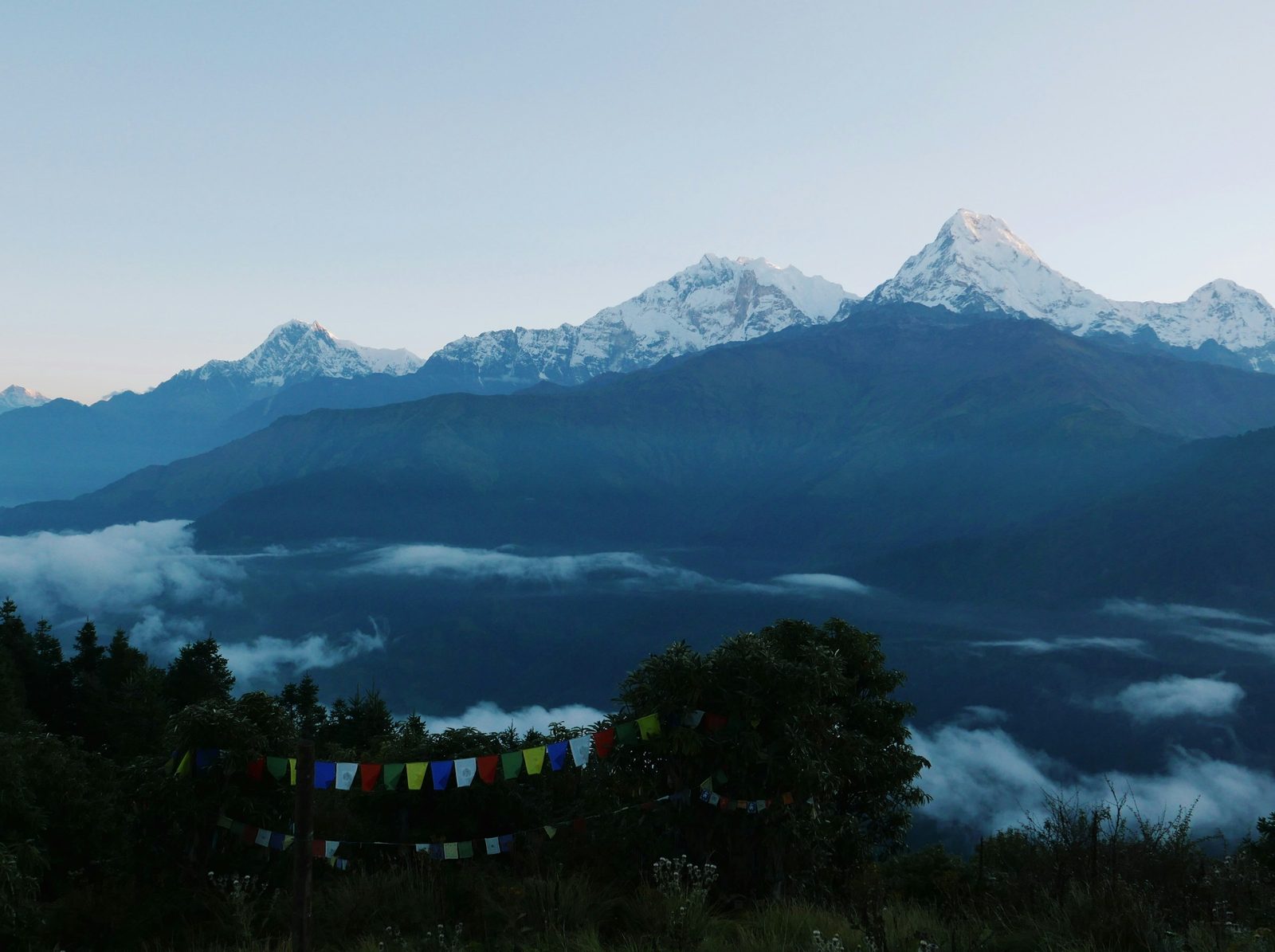
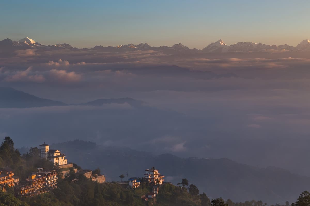
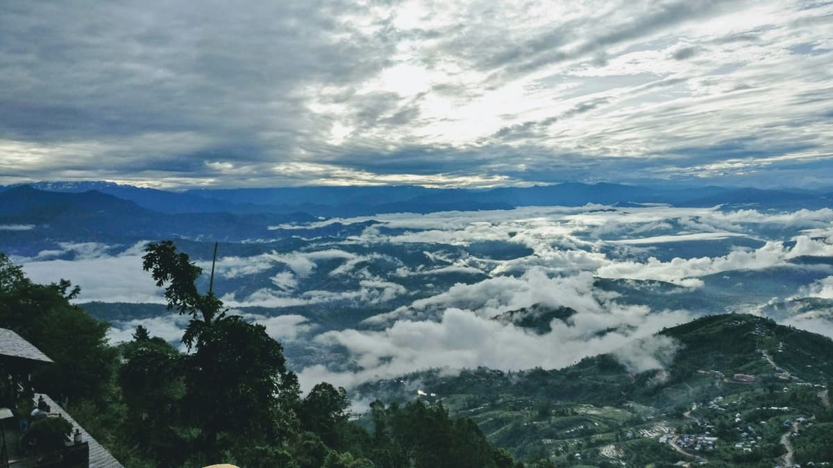
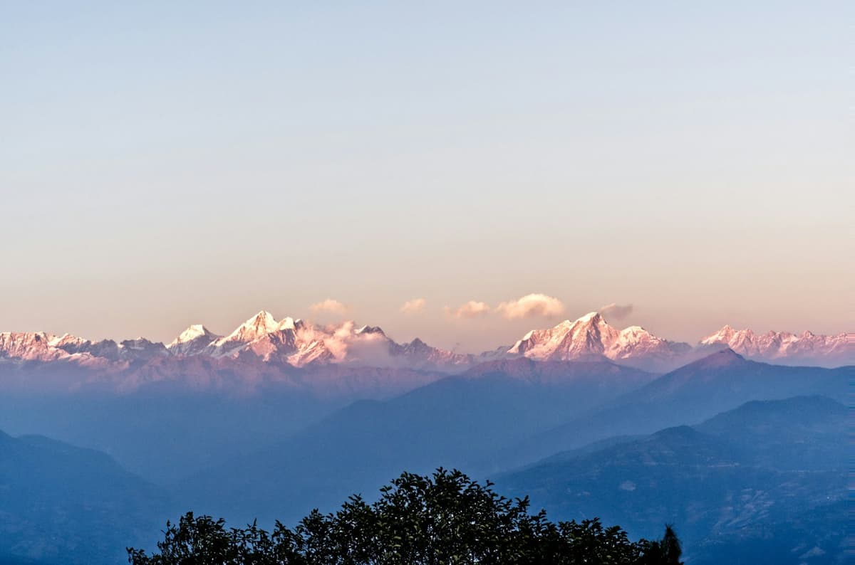
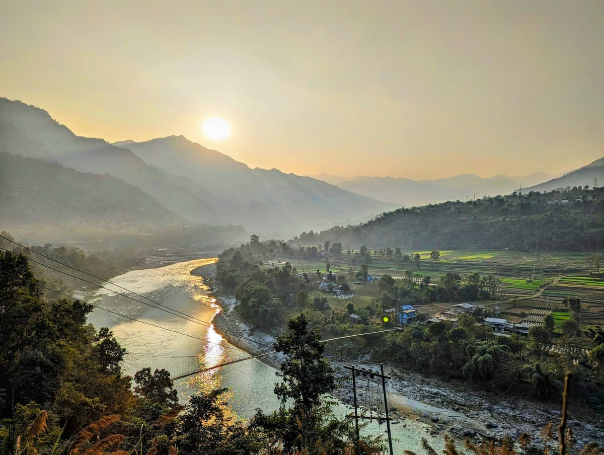
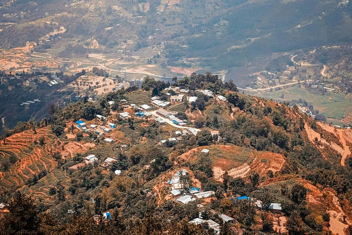
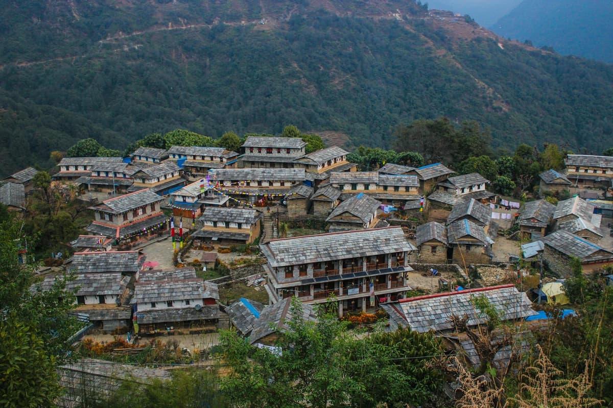
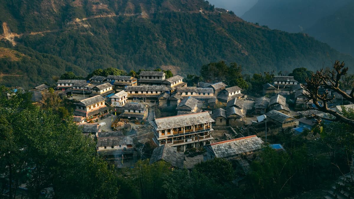
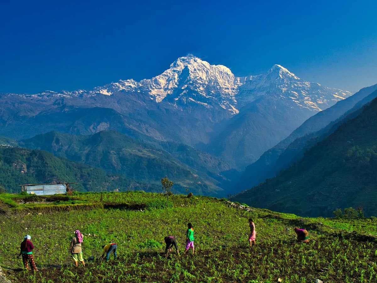
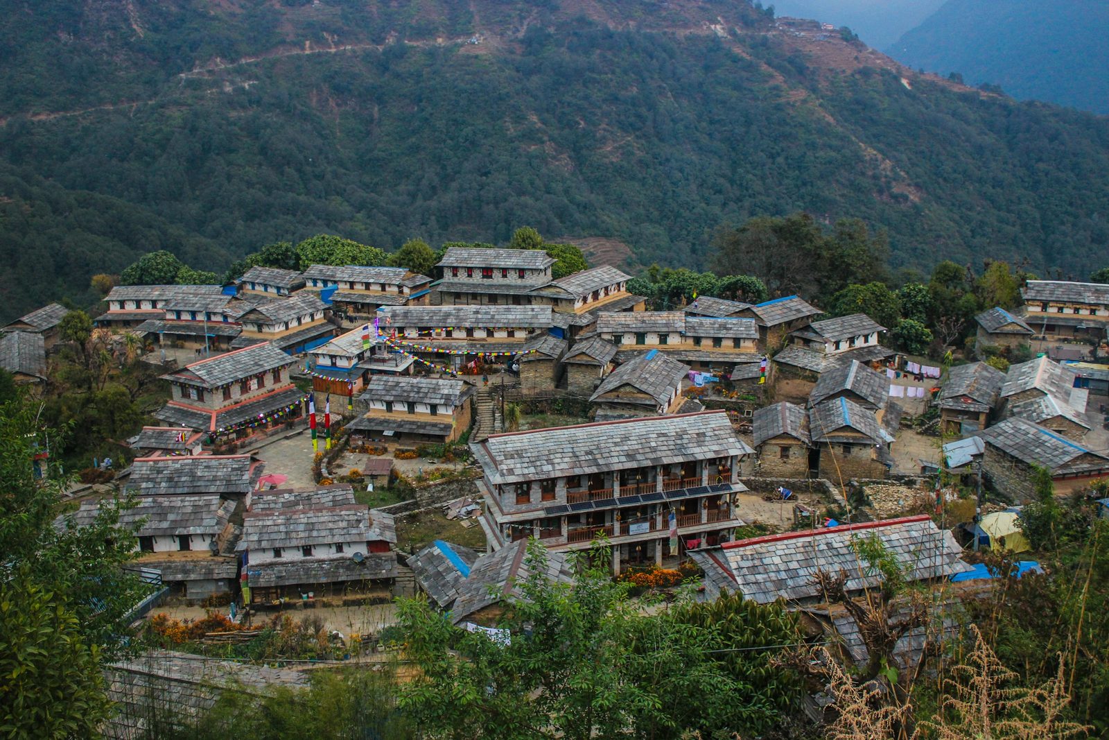
Before sunrise in Ghandruk the stone lanes are quiet and cold, and woodsmoke drifts up from the kitchens. Then the light reaches the snow on Annapurna South and Machhapuchhre, high above the slate roofs and the terraced fields that drop towards the Modi Khola.
Ghandruk, Nepal is a traditional Gurung village in Kaski district, inside the Annapurna Conservation Area. It is usually about two hours by bus or jeep from Pokhara when the road is clear. People come for Gurung culture, stone lanes and morning mountain views. It suits families, first-time walkers and anyone short on time.
Many trekkers also pass through on their way into the Annapurna Sanctuary, so this guide sits beside our Annapurna Base Camp trek page. Here we cover the village itself: how to get there, the permit, the weather, the walks out of it and how the road stands this October.
In this guide
- Key facts
- Where is Ghandruk, Nepal, and why do people go?
- Who are the Gurung people of Ghandruk?
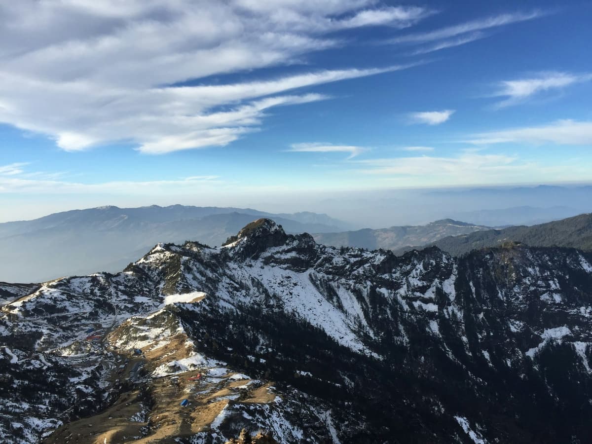
- Which mountains can you see from Ghandruk?
- How do you reach Ghandruk from Pokhara?
- Is the road to Ghandruk open in October 2026?
- What is the Ghandruk altitude, and will you feel it?
- What is Ghandruk weather like through the year?
- Which Ghandruk trek should you choose?
- How do you stay well if you go higher?
- Do you need a permit or a guide for Ghandruk?
- Where do you stay in Ghandruk?
- Frequently asked questions
Key facts
- Where
- A traditional Gurung village in Kaski district, Gandaki Province, in Annapurna Rural Municipality (Nepal Tourism Board; Ratopati, 15 Oct 2026)
- Protected area
- Inside the Annapurna Conservation Area, Nepal's first conservation area and its largest protected area (NTNC, 15 Oct 2026)
- Conservation history
- ACAP began as a pilot programme in Ghandruk in 1986; the area was gazetted in 1992 (NTNC; DNPWC, 15 Oct 2026)
- Distance from Pokhara
- About 55 km by road (Nepal Tourism Board, 27 Oct 2026)
- Travel time from Pokhara
- Usually about two hours by bus or jeep when the road is clear, longer after rain (Radio Nepal, May 2026, 15 Oct 2026)
- Permit
- ACAP entry permit: NPR 3,000 foreign nationals, NPR 1,000 SAARC nationals, tax included; under 10 free; double at a checkpost (NTNC e-permit portal, 27 Oct 2026)
- Altitude
- Published heights differ, so we do not quote one. Well below the roughly 2,450 m where the CDC says altitude illness becomes a risk (CDC Yellow Book, 15 Oct 2026)
- Mountain views
- Annapurna South, Gangapurna, Annapurna III, Hiunchuli and Machhapuchhre (Nepal Tourism Board, 27 Oct 2026)
- Best months
- October and November for the clearest skies; spring, March to May, is the other main season (Nepal Tourism Board, 27 Oct 2026)
- Places to stay
- 95 hotels and 45 homestays, by the local tourism committee's October 2026 count (Khabarhub; Ratopati, 15 Oct 2026)
Where is Ghandruk, Nepal, and why do people go?
Ghandruk sits on a hillside above the Modi Khola in Kaski district, west of Pokhara, in Annapurna Rural Municipality. People go for three things: a large, long-established Gurung village with its own museums, close views of the Annapurna range, and easy access by road to some of Nepal's best-loved trails.
The Nepal Tourism Board puts it simply:
"Ghandruk is a traditional Gurung village in Kaski Gandaki Province."
Nepal Tourism Board, Ghandruk page
Before Nepal reorganised its local government, Ghandruk was its own Village Development Committee, or VDC. Today it belongs to Annapurna Rural Municipality.
Where the Annapurna Conservation Area began
Ghandruk has a special place in Nepal's conservation story. The Annapurna Conservation Area Project, known as ACAP, was launched in 1986 and began as a pilot programme here. The National Trust for Nature Conservation (NTNC), which runs it, records it this way:
"ACAP was first tested as a pilot Programme in the Ghandruk Village Development Committee (VDC) in 1986."
National Trust for Nature Conservation
From that one pilot grew the Annapurna Conservation Area, which covers 7,629 sq km. It is Nepal's first conservation area and its largest protected area, and it was formally gazetted in 1992. Keep the two dates apart: 1986 is when the project began, and 1992 is when the area became law.
A common mix-up online is that ACAP's headquarters is in Ghandruk. It is not. NTNC runs the area through seven unit conservation offices, and Ghandruk is one of them. The headquarters is at Hariyo Kharka in Pokhara.
What we would tell a friend: the permit you pay for on this trail goes to the body that started here. The village is part of how the system works, not just a stop on it.
Who are the Gurung people of Ghandruk?
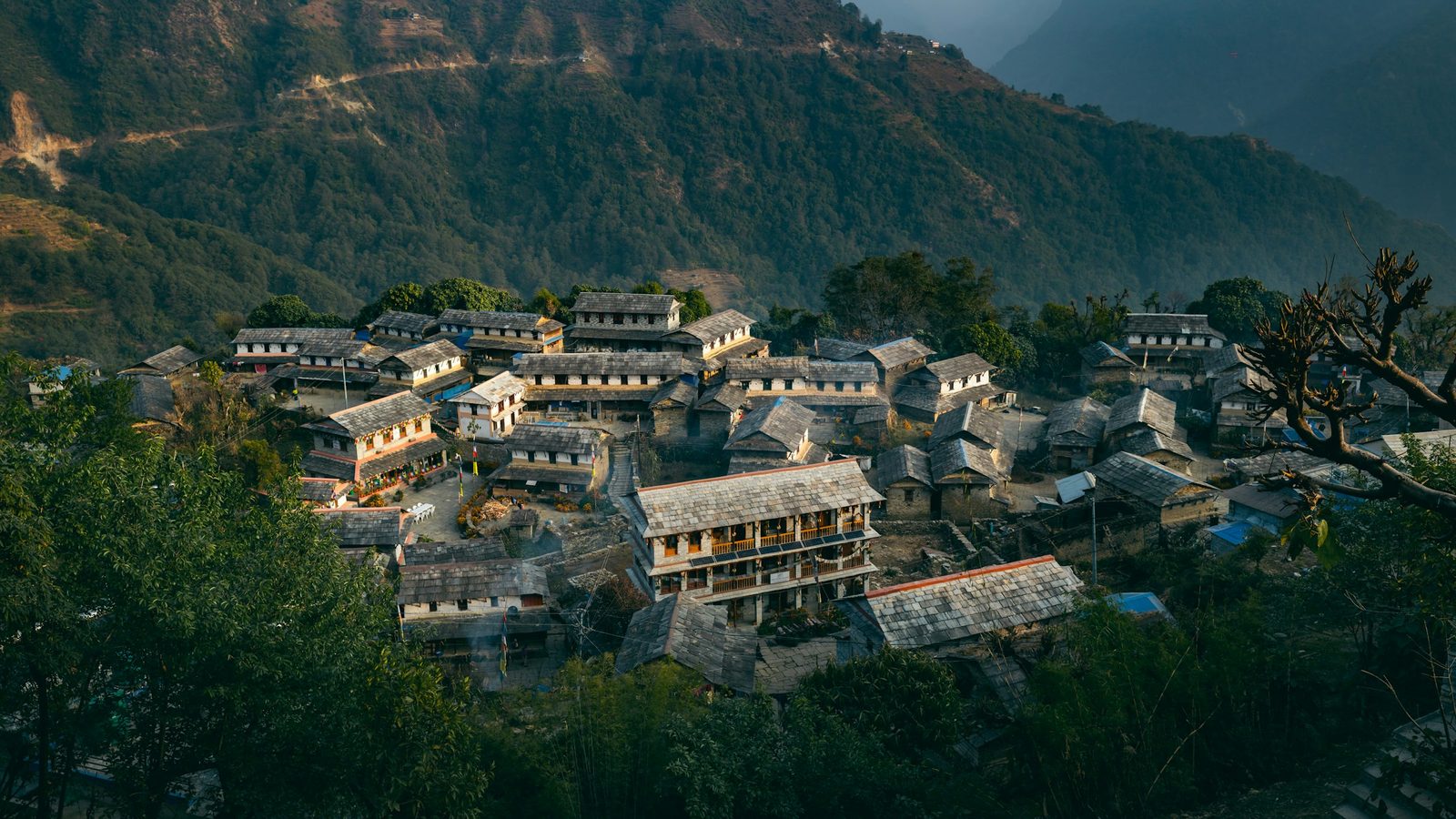
The Gurungs are the people who built Ghandruk and still live in it, and you see their culture in the stone houses, the village museums, the Lhosar celebrations and the strong ties to the British Gurkhas and the Indian Army. A short walk through the upper village shows you most of it.
The village museums
Ghandruk has more than one small museum of Gurung life. The best known is the Ghandruk Cultural Museum, which some people call the Gurung Cultural Museum, and there is also an older Gurung museum. Both display traditional clothing, jewellery, utensils and household tools. The Nepal Tourism Board also lists a Gurung museum among the village's sights.
We have not found an official, dated source for opening hours or entry fees, so we do not print them. Ask at the door, and ask before you take photographs inside.
In practice: visit the museums in the afternoon after you arrive, and keep the early morning for the views.
The Meshram Barah temple
On the trail you pass the Meshram Barah temple, also spelled Mesram Barah, which is important to the Gurung community. We have found no sourced account of its rituals or history, so we will not invent one. Treat it as you would any local shrine: walk past quietly, do not touch offerings, and ask before photographing anyone at prayer.
Gurkha links
Gurung men from Ghandruk have a long history of serving in the British Gurkhas and the Indian Army. In February 2025, when the Duke and Duchess of Edinburgh visited Ghandruk, the chair of Annapurna Rural Municipality was quoted by the press as saying:
"Ghandruk is well known for breeding outstanding Gurkha soldiers."
Bishnu Bahadur KC, chair of Annapurna Rural Municipality, quoted by PA in Express & Star, 9 February 2025
On that visit the royal couple watched a traditional Gurung dance and toured the Ghandruk Cultural Museum.
When is Tamu Lhosar?
Tamu Lhosar, the Gurung New Year, falls on Poush 15 in the Nepali calendar, which is 30 December 2026. It is a national public holiday on the 2083 BS list. Gurungs mark it with feasts, rituals and cultural programmes. The Gurung calendar runs in a cycle of 12 animal years, called "lho", and each Lhosar says farewell to the old animal year and welcomes the new one.
What we would tell a friend: if your dates cross Lhosar, you may see dancing and family gatherings. It is a celebration for the community first, so watch, smile and ask before you film.
Which mountains can you see from Ghandruk?
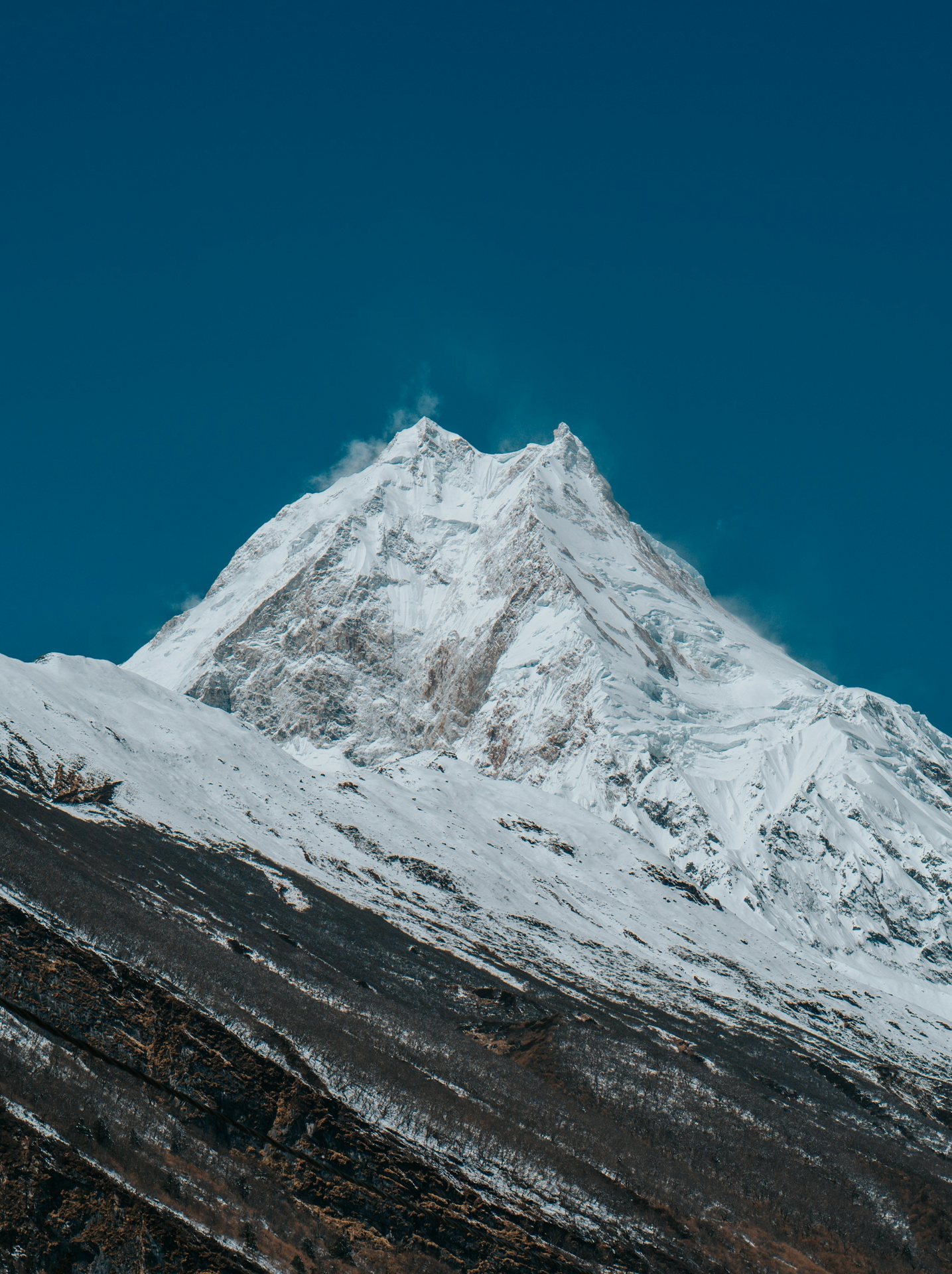
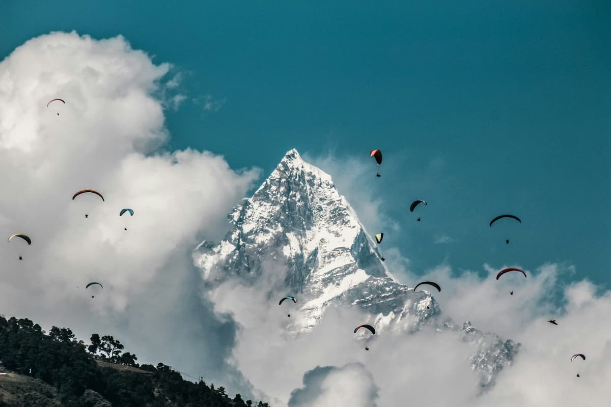
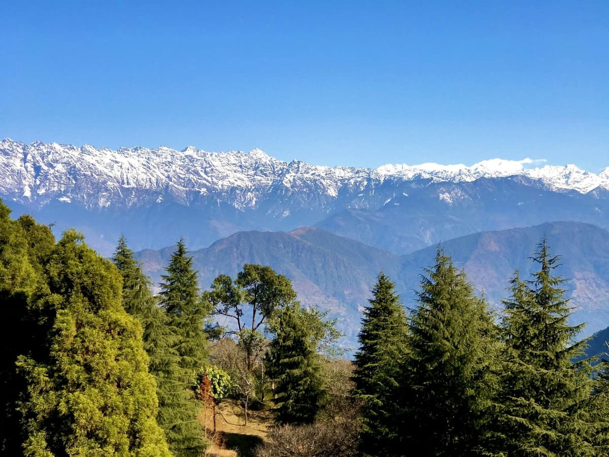
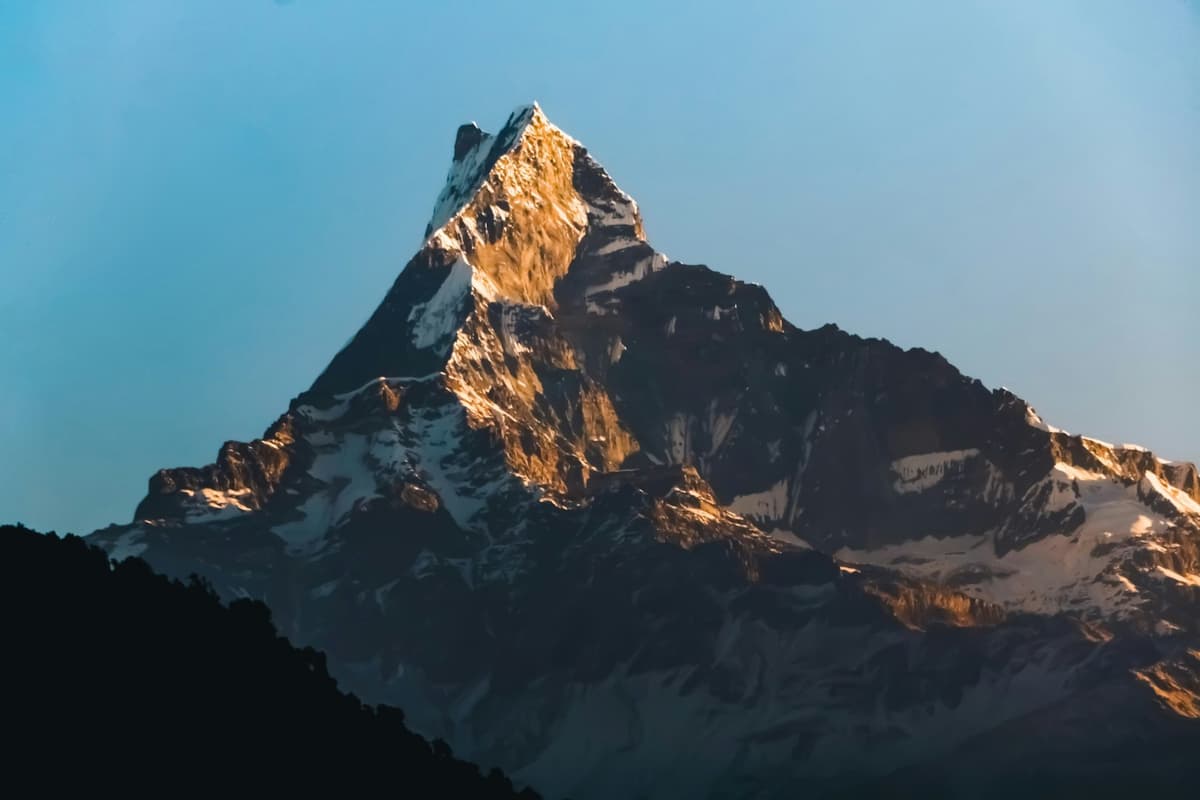
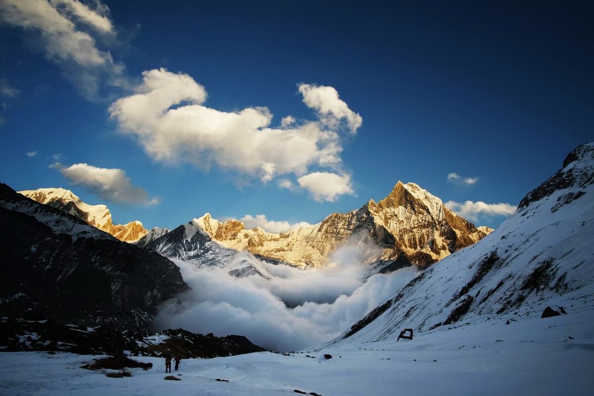
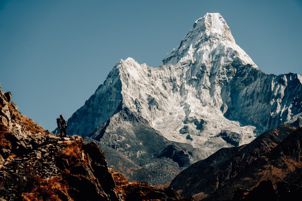
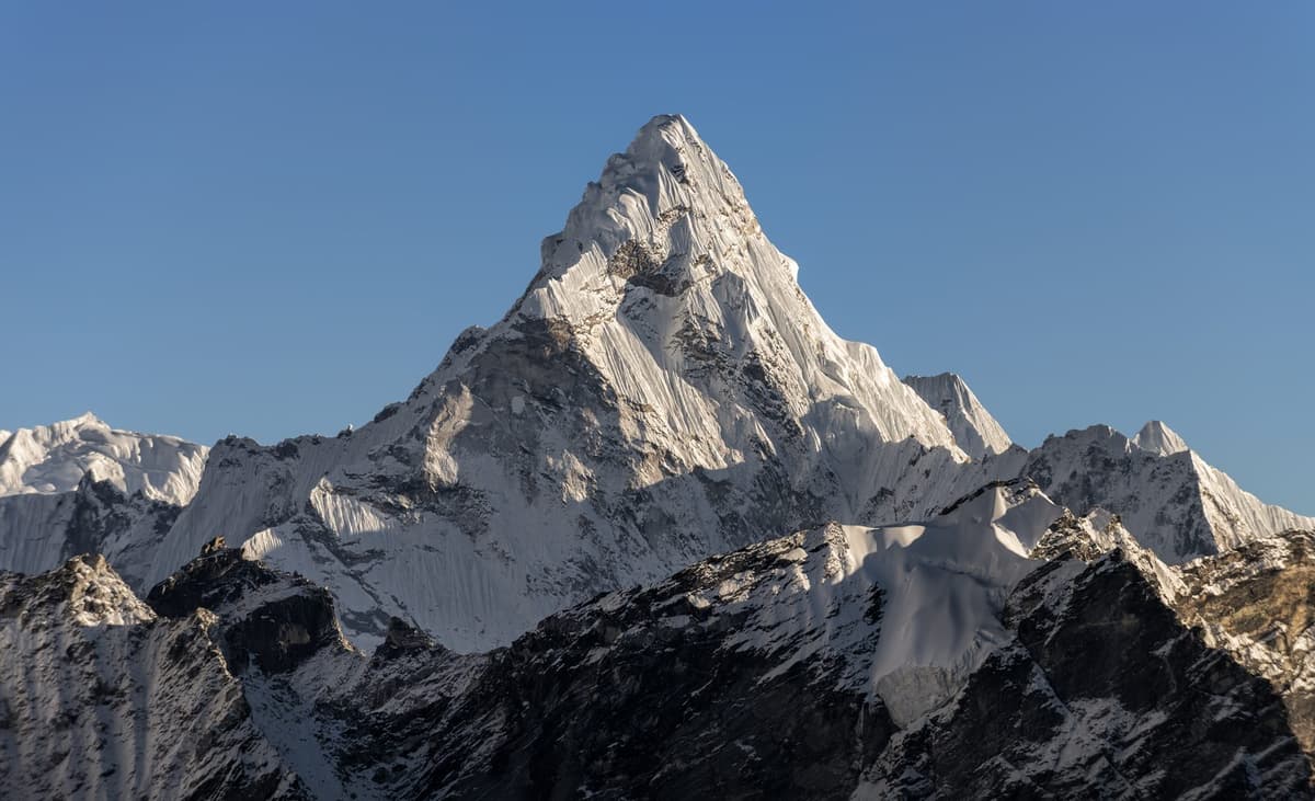
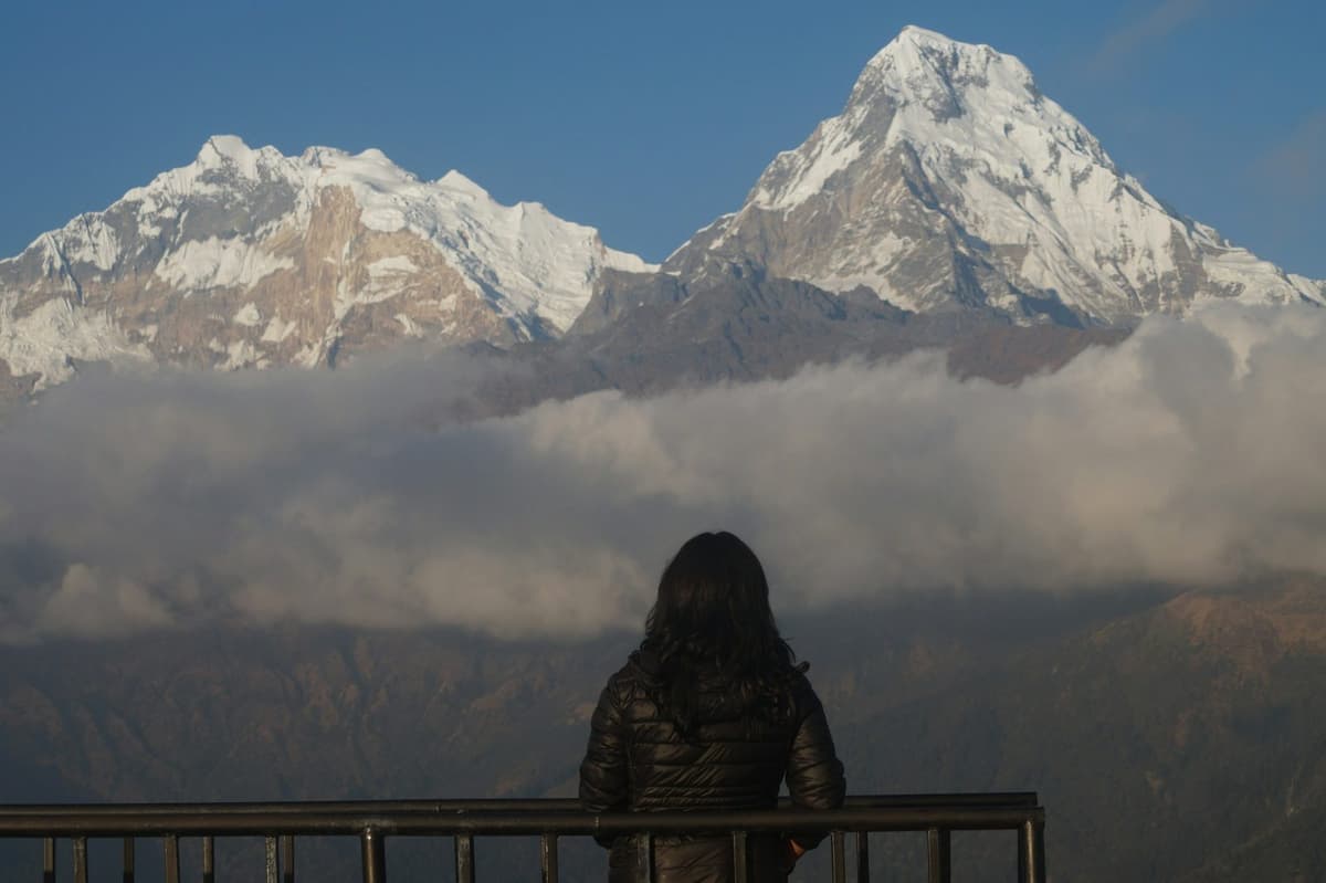
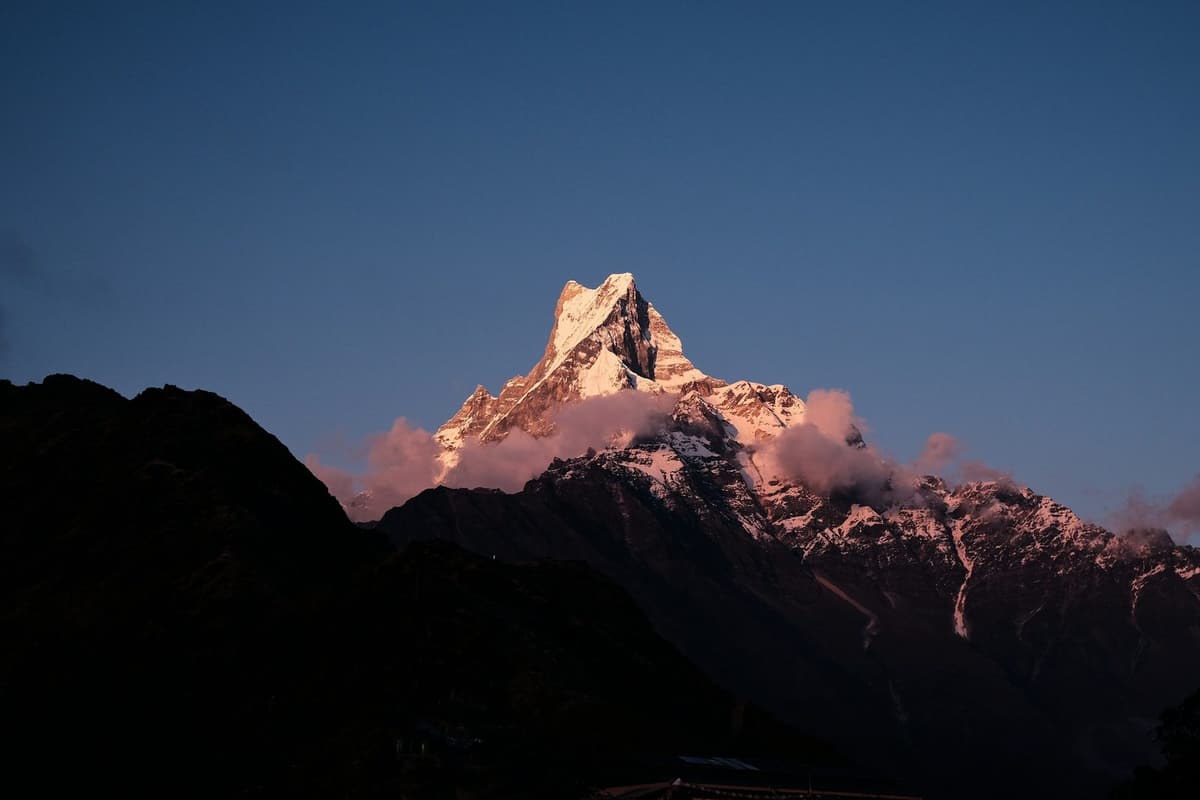
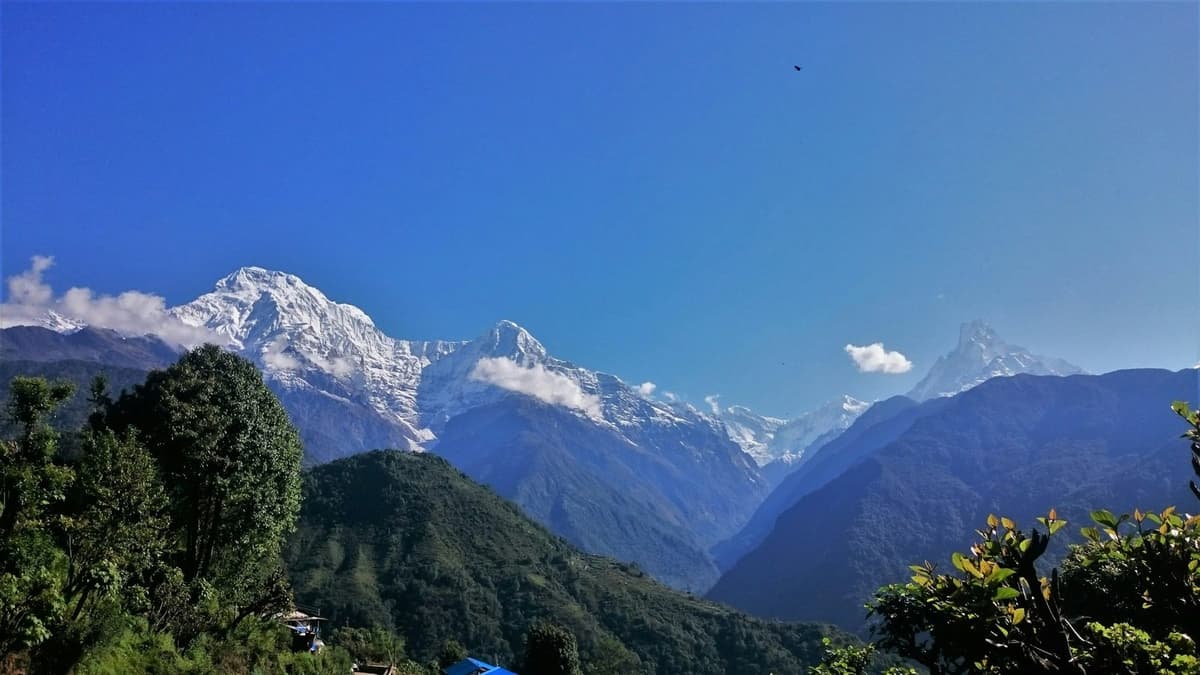
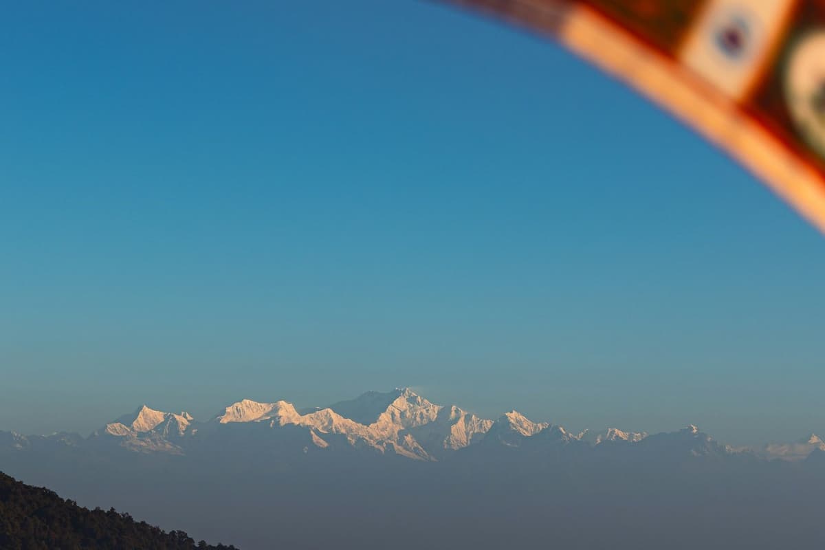
On a clear morning the Nepal Tourism Board lists Annapurna South, Gangapurna, Annapurna III, Hiunchuli and Machhapuchhre from Ghandruk. Machhapuchhre, the "Fishtail", is the one that holds your eye, rising to 6,993 m. Clouds often build by late morning, so be up early.
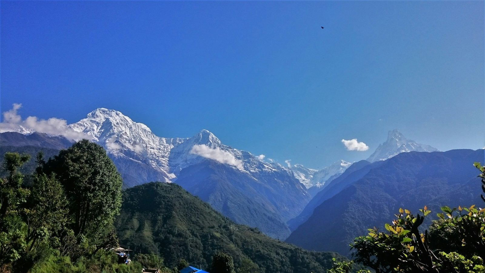
The peaks you can see from the village:
- Annapurna South
- Hiunchuli
- Machhapuchhre, the Fishtail, 6,993 m
- Gangapurna
- Annapurna III
We give names only. Published heights for most of these peaks are not well sourced, so we leave them out.
A Ghandruk tourism entrepreneur told Nepalnews in May 2026 why a night here matters:
"Tourists spending nights in Ghandruk can also tour the trekking route the next morning while relishing the sunrise."
Amrit Lama Gurung, Ghandruk tourism entrepreneur, Nepalnews, 10 May 2026
In practice: a day trip from Pokhara reaches the village around the time the clouds come in. If the views are why you are going, stay the night.
How do you reach Ghandruk from Pokhara?
You drive from Pokhara to Nayapul, then up through Birethanti and Syauli Bazaar to the Ghandruk bus park. The Nepal Tourism Board puts the whole drive at about 55 km. By bus or jeep it usually takes about two hours when the road is clear, longer after rain.
Here is how to reach Ghandruk step by step:
- Get to Pokhara. Most people come by road or on a short domestic flight from Kathmandu. Flights are information only from us: check the airline's own site for times and fares.
- Drive to Nayapul. Leave Pokhara by road for Nayapul, where the valley road to Ghandruk begins.
- Climb the valley road. From Nayapul the road runs through Birethanti and Syauli Bazaar to Ghandruk. The Nayapul to Birethanti to Ghandruk section is about 17 km.
- Arrive at the bus park. Vehicles reach the Ghandruk bus park. From there you walk up into the village on stone steps, so pack a bag you can carry or that a porter can carry.
- Or walk in. Many people arrive on foot instead, down from Tadapani on the Poon Hill loop. On our loop the walk from Tadapani to Ghandruk takes three to five hours downhill.
Other distances you see online are often straight-line figures, so we use the Nepal Tourism Board's road figure. Treat "about two hours" as a clear-road time.
Bus, shared jeep or private jeep?
| Option | What it is like | Best for |
|---|---|---|
| Local bus | Slower, with more stops; about two hours when the road is clear | Travellers with time and light bags |
| Shared jeep | Around two hours from Pokhara on our loop | Small groups and solo travellers |
| Private jeep | Leaves when you want, stops for photos | Families, older travellers, anyone with a tight schedule |
| On foot from Tadapani | Three to five hours downhill on our loop | Trekkers finishing the Poon Hill loop |
We have not found a dated source for bus or jeep fares, so we do not print them. We arrange private transport inside Nepal when you travel with us.
Is the road to Ghandruk open in October 2026?
Yes, as of our latest check. Floods on the Modi Khola damaged the road in July and August 2026. It reopened after repairs in the second half of September, and local officials said on 5 October that it was open. Roads in these valleys can change after any heavy rain, so we check again before you leave Pokhara.
When the road was reopened in September, the rural municipality chair told Ratopati: "Now that the tourist season is about to begin, the road has also opened."
If the road closes again while you are there: stay where you are, tell your guide and your lodge, and wait for local advice. Do not try to cross a landslide or a swollen stream on foot. Your guide, who knows the route, decides when and how to move on, based on the ground and the forecast. Keep a spare day before any flight home.
What is the Ghandruk altitude, and will you feel it?
Published heights for Ghandruk differ, so we do not quote one. It sits well below the roughly 2,450 m (8,000 ft) where the US CDC says altitude illness becomes a risk for travellers, and below Tadapani and Ghorepani on the trail above it. For most visitors, the village itself is not a height worry.
The CDC's line is about where you sleep: the risk applies to unacclimatised travellers going to a sleeping altitude of about 2,450 m or more. A night in Ghandruk is below that. The stone steps will still make you breathe hard, but that is the climb, not the altitude.
It changes if you go on. You sleep at about 2,600 to 2,700 m in Tadapani and about 2,850 m in Ghorepani, so the Poon Hill loop takes you over the line. Poon Hill viewpoint is at 3,210 m, and Annapurna Base Camp is at 4,130 m. If either is in your plan, read the section below on how to stay well higher up.
What we would tell a friend: if you are visiting only Ghandruk, think about your knees on the steps, not about altitude.
What is Ghandruk weather like through the year?
Ghandruk weather follows the Annapurna pattern: clear, mild days in October and November, a cold but often bright winter, a warm spring, and heavy rain in the monsoon months. The Nepal Tourism Board says "the clearest skies are found after the monsoon in October and November". No long-record station sits in the village itself.
The nearest long-record weather station is Lumle, run by the Department of Hydrology and Meteorology (DHM), in the same rural municipality. These are its 1991 to 2020 averages.
| Month | Mean daily max (°C) | Mean daily min (°C) | Rain (mm) |
|---|---|---|---|
| January | 13.9 | 4.7 | 34.9 |
| February | 15.8 | 6.5 | 51.4 |
| March | 19.8 | 9.5 | 68.5 |
| April | 22.8 | 12.4 | 122.8 |
| May | 23.5 | 14.3 | 309.4 |
| June | 24.0 | 16.7 | 866.0 |
| July | 23.8 | 17.8 | 1,473.2 |
| August | 23.9 | 17.6 | 1,419.4 |
| September | 23.3 | 16.5 | 903.2 |
| October | 21.6 | 12.9 | 208.0 |
| November | 18.4 | 9.3 | 19.7 |
| December | 15.2 | 6.1 | 15.5 |
| Year | 5,492 |
Lumle station, 1,738 m, DHM normals 1991 to 2020. Ghandruk is higher, so expect it a little cooler: temperatures fall about 6 °C for every 1,000 m, according to the Nepal Tourism Board. Read these as a guide to the pattern, not a Ghandruk forecast.
The seasons, one by one
- Autumn, October and November. The clearest skies of the year. Rain drops from 208.0 mm in October to 19.7 mm in November at Lumle. Mornings are crisp; days are comfortable for walking.
- Winter, December to February. The driest stretch, with cold nights. December rain at Lumle is 15.5 mm, and the January mean minimum is 4.7 °C. Ghandruk is colder than that. Bring a warm layer for the evenings and a good sleeping bag or ask your lodge for extra blankets.
- Spring, March to May. The other main season. It warms through April, and rain rises towards May (309.4 mm at Lumle), so afternoon cloud and haze are common.
- Monsoon, June to September. The wettest months by far, with 1,473.2 mm in July at Lumle. The normal monsoon runs from 13 June to 2 October. In 2026 it arrived on 19 June and fully withdrew on 14 October. Expect cloud, leeches on forest trails and road damage after heavy rain.
What we would tell a friend: October and November are the safe bet for views. If you come in winter, you trade some cold for quieter lanes.
Which Ghandruk trek should you choose?
Ghandruk is a junction, not just a destination. From here you can walk east to Tadapani and on to Ghorepani and Poon Hill, cross the Modi Khola to Landruk, or head north via the Kimrong Khola to Chhomrong on the Annapurna Base Camp route. Choose by how many days you have and how high you want to sleep.
| Route from Ghandruk | Where it goes | Highest point on the route | Good to know |
|---|---|---|---|
| East to Tadapani | Through forest to Tadapani, about 2,600 to 2,700 m | Tadapani | On our loop, Tadapani to Ghandruk takes three to five hours downhill |
| On to Ghorepani and Poon Hill | Tadapani to Ghorepani, about 2,850 m, then the sunrise climb to Poon Hill | Poon Hill viewpoint, 3,210 m | Above the CDC's 2,450 m sleeping line at Ghorepani |
| Across to Landruk | Down to the Modi Khola and up the other side | Village level | A good short add-on; ask us for walking times |
| North to Chhomrong | Via the Kimrong Khola to Chhomrong, about 2,100 to 2,200 m | Annapurna Base Camp, 4,130 m, if you continue | The Kimrong crossing is temporary this autumn |
| Other nearby trails | Kimche and Mardi Himal Base Camp are also listed by NTB | Varies | Ask us which suits your days |
Published village heights differ between sources, so we round them and give ranges.
The Ghandruk trek on the Poon Hill loop
The most popular way to include Ghandruk is the loop over Ghorepani and Poon Hill. You climb to the viewpoint for sunrise, then walk down through Tadapani to Ghandruk. If that appeals, see our Poon Hill and Ghandruk loop trek from Pokhara. If you are still choosing between the bigger Annapurna treks, our comparison of Annapurna Base Camp, the Circuit and Poon Hill sets them side by side.
Ghandruk on the way to Annapurna Base Camp
From Ghandruk the trail runs north to Chhomrong and on into the Sanctuary. Ghandruk is one of the main access points to the base camp route, with Nayapul and Chhomrong. If you plan to go in winter, our guide to the Annapurna Base Camp trek in December covers the cold, the snow and the lodges.
What we would tell a friend: if you only have a few days, the loop through Ghandruk gives you a sunrise viewpoint and a Gurung village in one walk. If you have longer, Ghandruk makes a gentle first night on the way to the Sanctuary.
How do you stay well if you go higher?
Ghandruk is below the altitude risk line, but Ghorepani, Poon Hill and the base camp route are not. Above about 3,000 m, add no more than about 500 m of sleeping height a night, plus an extra night for every 1,000 m. Walk slowly, drink water and never go higher with symptoms.
Here is the step-by-step version we give every guest:
- Go up slowly. Above about 3,000 m, add no more than about 500 m of sleeping height a night, and plan an extra night for every 1,000 m you gain.
- Walk slowly. Keep to a pace at which you can still talk.
- Drink water. Hot drinks count. Carry a bottle you can refill at lodges.
- Avoid alcohol early. Leave the celebration until you are on the way down.
- Know the symptoms. Headache, loss of appetite, nausea, dizziness, unusual tiredness and poor sleep are the usual early signs.
- Never go higher with symptoms. Rest where you are and tell your guide straight away.
- Go down if it gets worse. Going down is the most reliable treatment. Do not wait for morning if symptoms are getting worse quickly.
- Ask your doctor before the trip. Ask about preventive medicine such as acetazolamide. Only your doctor can say whether it suits you and how to take it.
Lodges on the trail often serve garlic or other hot soup to trekkers going up. It is a comforting local tradition, not a proven cure. More detail is in our guide to altitude sickness on Nepal treks.
Do you need a permit or a guide for Ghandruk?
Yes, you need the Annapurna Conservation Area Project (ACAP) entry permit, because Ghandruk lies inside the conservation area. It costs NPR 3,000 for foreign nationals and NPR 1,000 for SAARC nationals, tax included, and children under 10 do not need one. Permits issued at a checkpost cost double.
How to get the permit:
- Online. Buy it on the NTNC e-permit portal by card. A payment-gateway charge of 2.9% is added, and the permit is sent by email.
- In person. Pay cash at an NTNC entry-permit counter, with your passport.
- With us. When you travel with us, we arrange your ACAP permit before you set off.
Do not leave it until a checkpost. You will pay double. Indian and other SAARC visitors pay the SAARC rate. For how the permit fits into a full trek budget, see our Annapurna Base Camp trek cost guide.
Do you need a guide? For a village visit by road, many people go on their own. On our trips the answer is simple: a licensed guide walks with you on every trek we run.
Where do you stay in Ghandruk?
You choose between lodges and hotels in and around the village, or a homestay with a Gurung family. Ghandruk has around a hundred hotels and dozens of homestays: 95 hotels and 45 homestays by the local tourism committee's October 2026 count, with room for about 2,500 guests a night. Around Tihar, book ahead.
Lodge or homestay?
- Lodges and hotels suit people who want a private room, a dining room with other travellers, and a menu.
- Homestays suit people who want to eat with a family, see a Gurung home from the inside and go to bed early. Rooms are simple. Ask before you book whether bathrooms are shared.
We have not found a dated source for lodge, homestay or food prices, so we do not print them.
Village manners that make a difference:
- Ask before you photograph people, especially older residents and anyone at prayer.
- Dress modestly in the village: shoulders and knees covered is a good rule.
- Do not touch offerings at shrines.
- Refill a water bottle at your lodge rather than buying plastic bottles. The village is inside a conservation area that began here.
When the road reopened this autumn, the chair of the Ghandruk Tourism Management Committee, Bikram Gurung, told Khabarhub: "We are ready to welcome you."
If you have a spare day in Pokhara before or after, our list of things to do in Pokhara has ideas for the lakeside.
What we would tell a friend: if you want the village rather than just the view, book one night in a homestay. You learn more over one family dinner than in a day of walking.
Read next: Ghorepani village guide.
Frequently asked questions
Do I need a permit to visit Ghandruk?
Yes. Ghandruk is inside the Annapurna Conservation Area, so you need the ACAP entry permit. It costs NPR 3,000 for foreign nationals and NPR 1,000 for SAARC nationals, tax included; children under 10 go free. At a checkpost it costs double, so buy it in advance online or at an NTNC counter with your passport. We arrange it for our guests.
How do I get to Ghandruk from Pokhara?
Drive from Pokhara to Nayapul, then up through Birethanti and Syauli Bazaar to the Ghandruk bus park. The Nepal Tourism Board puts it at about 55 km by road. It usually takes about two hours by bus or jeep when the road is clear, longer after rain. You can also walk in from Tadapani on the Poon Hill loop.
Is the Ghandruk road open now?
As of our check on 27 October 2026, yes. Floods damaged the road in July and August, it reopened in the second half of September, and on 5 October the ward chair said Birethanti and Syauli Bazaar were open. A temporary crossing has replaced the Kimrong Khola bridge. Conditions can change after heavy rain, so we re-check before every departure.
Will I get altitude sickness in Ghandruk?
Unlikely in the village itself. Published heights for Ghandruk differ, so we do not quote one, but it sits well below the roughly 2,450 m where the US CDC says altitude illness becomes a risk. The risk starts if you go higher: Ghorepani, at about 2,850 m, is above that line. Climb slowly and never go higher with symptoms.
What is the best time to visit Ghandruk?
October and November give the clearest skies, and spring, from March to May, is the other main season. At Lumle, the nearest long-record station, October rain is 208.0 mm and November just 19.7 mm, against 1,473.2 mm in July. Winter is dry and cold but often bright. The monsoon brings cloud and can close the road.
Which mountains can you see from Ghandruk?
The Nepal Tourism Board lists Annapurna South, Gangapurna, Annapurna III, Hiunchuli and Machhapuchhre. Machhapuchhre, the Fishtail, at 6,993 m, is the one most people photograph. The clearest views come at sunrise, before clouds build, so it is worth sleeping in the village rather than visiting for the day.
Plan your Ghandruk trip with us
Ghandruk rewards people who slow down: a night in the village, an early start for the mountains and an afternoon in the lanes and museums. We are a Kathmandu team, and we arrange your ACAP permit, licensed guide, lodges or homestay and private transport inside Nepal.
Send us your dates, how many days you have and who is travelling, on WhatsApp or through our enquiry form. We will tell you honestly whether a road visit, the Poon Hill loop or the full walk into the Sanctuary suits you. If the base camp is your goal, start with our Annapurna Base Camp trek page.
Your Nepal visa and international flights are your own arrangements. Official visa information is on the Nepal Tourism Board tourist-visa page.