







By Uncover Nepal Team · Checked by our Kathmandu travel team · Last checked 27 October 2026
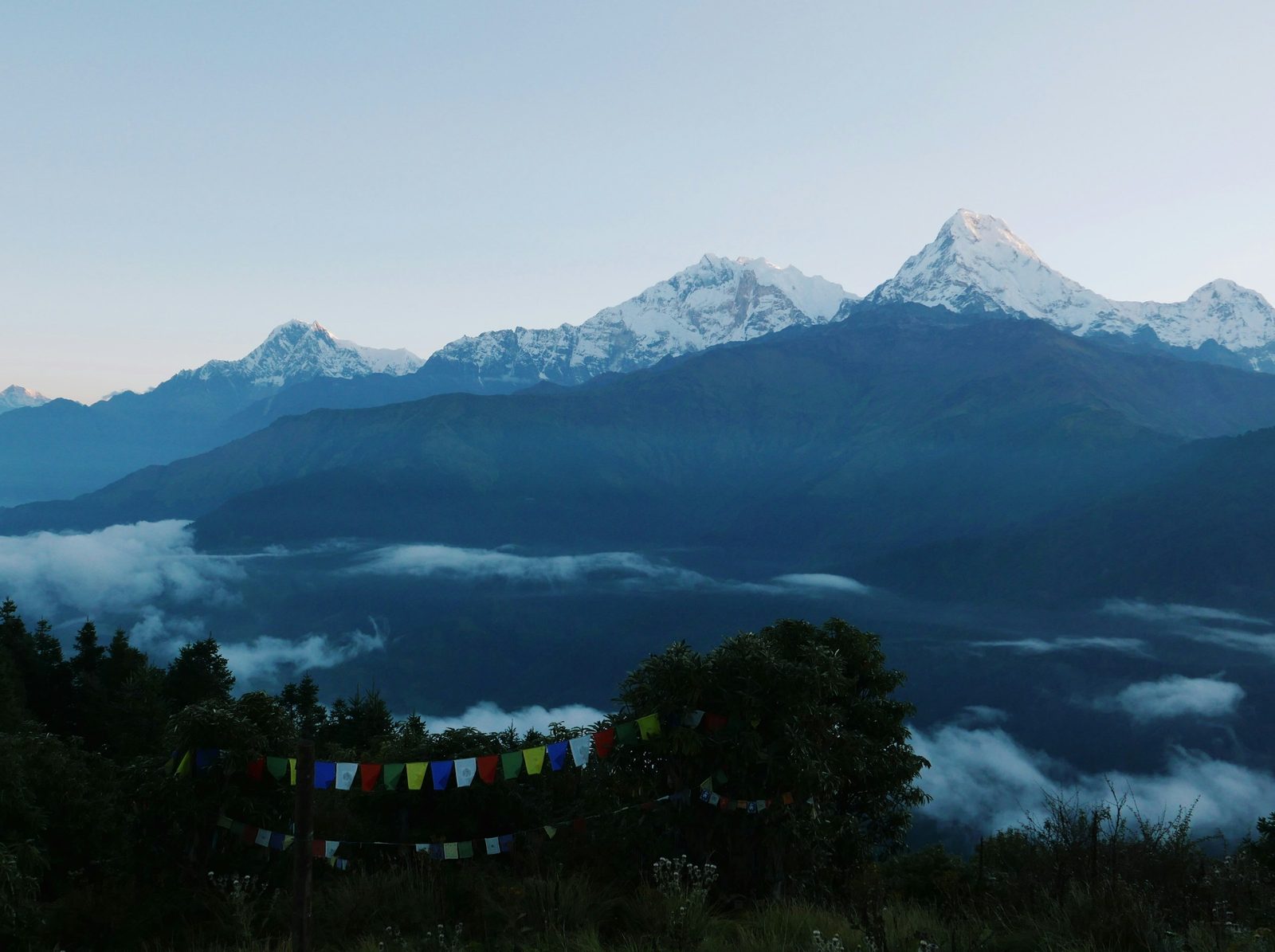
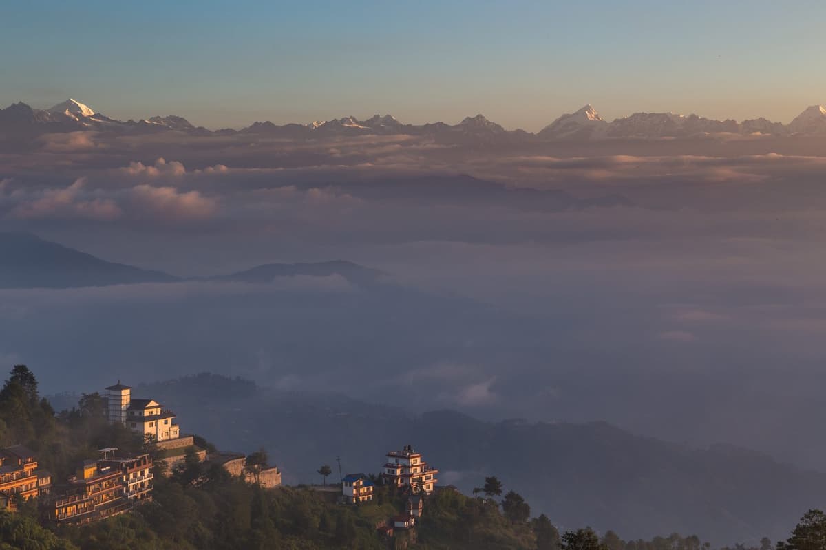
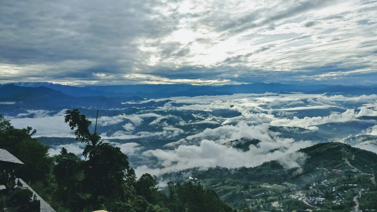
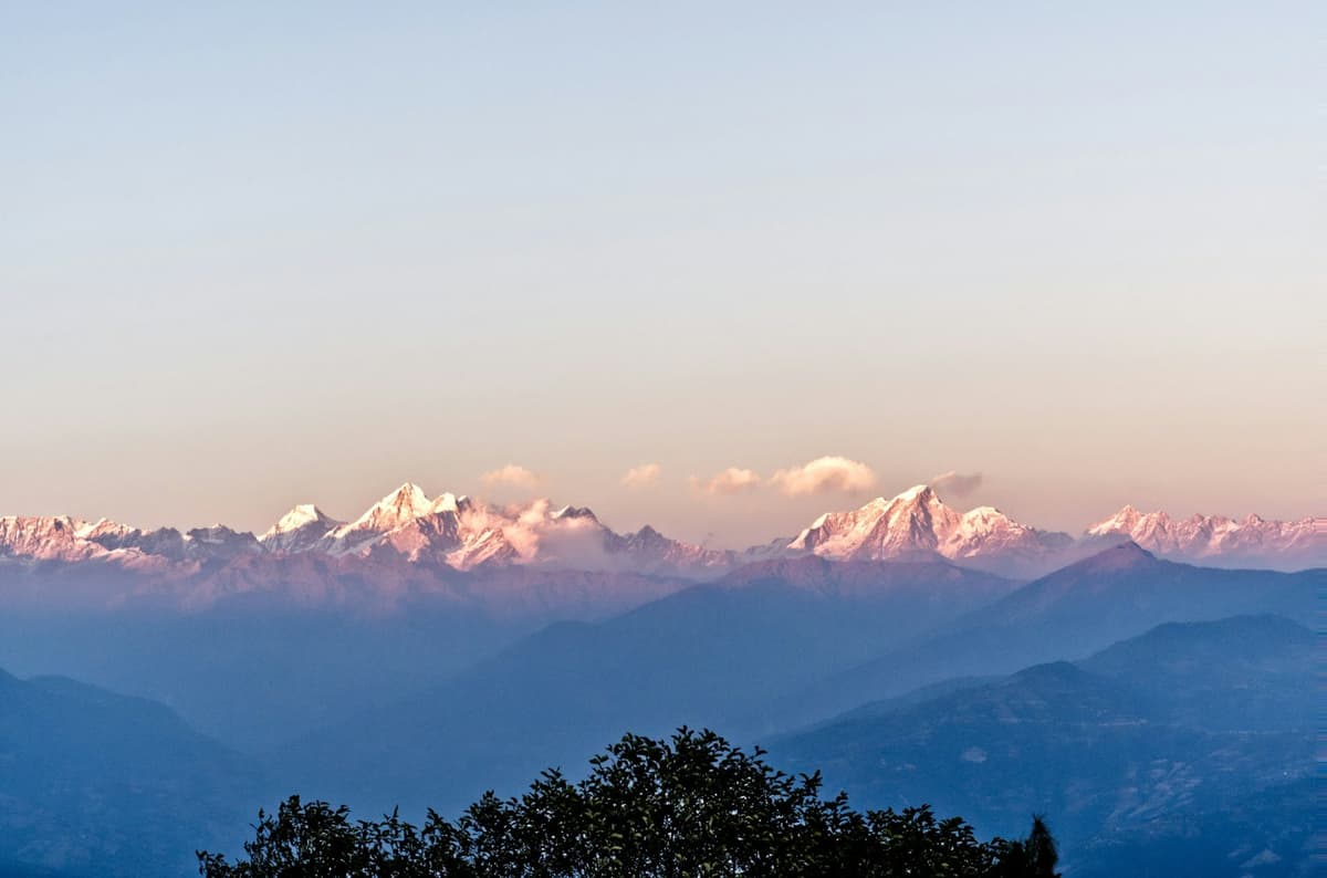
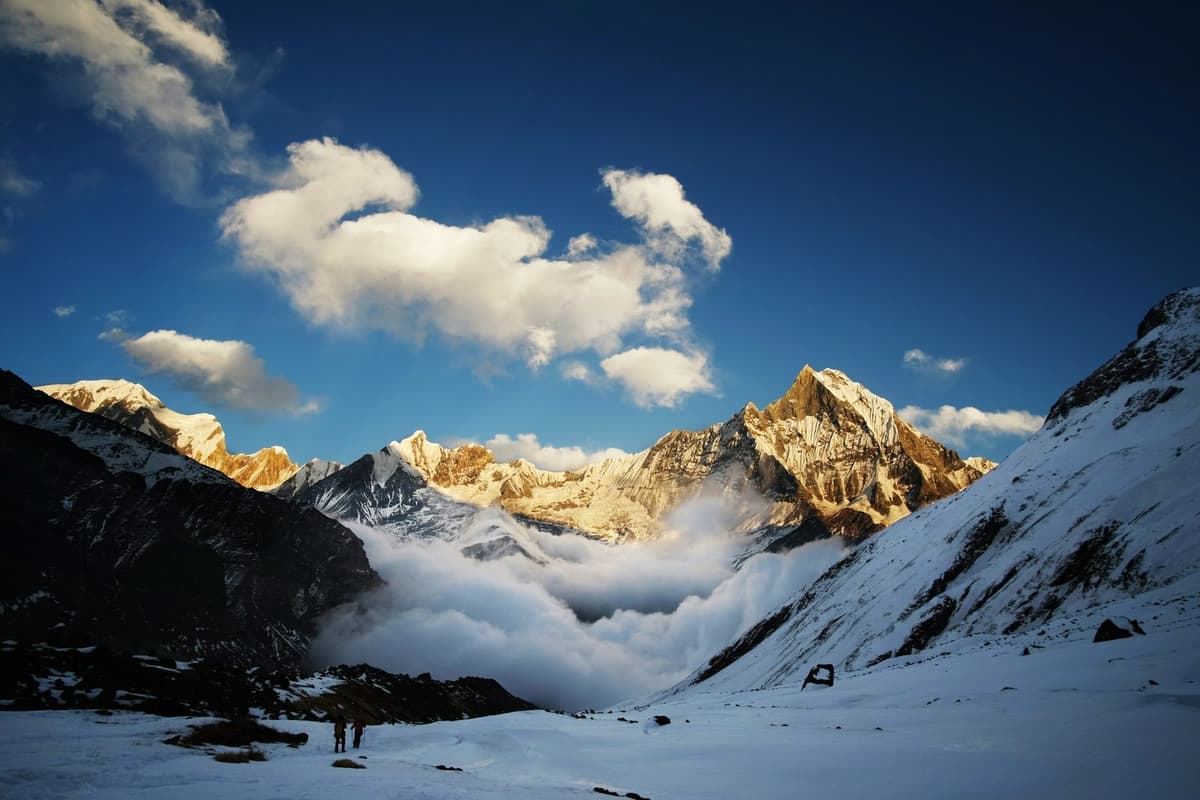
Before dawn on a clear autumn morning, head torches leave the lodges of Ghorepani one by one and climb through the forest towards Poon Hill. At the top, people stamp their feet in the cold and wait for the moment the Nepal Tourism Board describes, when the peaks of Annapurna and Dhaulagiri glow golden. By breakfast most of them are back in the village, packing for the trail.
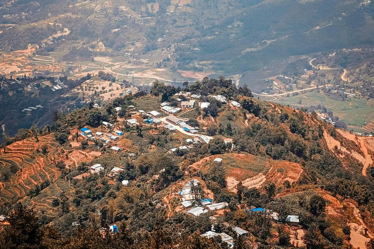
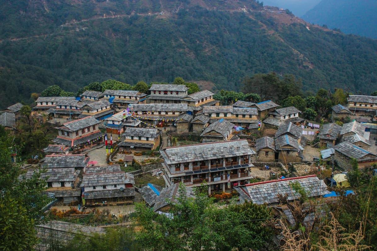
Ghorepani, Nepal, is a lodge village at about 2,850 m in Myagdi district, inside the Annapurna Conservation Area, and the base for the sunrise climb to Poon Hill, 3,210 m. You sleep above the height where altitude illness becomes possible, you need an ACAP permit, and since late 2025 or early 2026 a rough road reaches the village.
You can also add it to the Annapurna Base Camp trek; the Nepal Tourism Board suggests combining the two for the sunrise. This guide covers the village itself, how to reach it and the walks from it.
In this guide
- Key facts
- Where is Ghorepani, Nepal, and how high is it?
- Who lives in Ghorepani?
- How do you get to Ghorepani?
- Ghorepani to Poon Hill: the sunrise climb
- When does the rhododendron forest bloom?
- What is the weather like in Ghorepani?
- Will you feel the altitude in Ghorepani?
- Permits and the Poon Hill ticket
- Lodges and where to walk next
- Frequently asked questions
Key facts
- Height of Ghorepani
- About 2,850 m; published figures range from about 2,750 to 2,874 m (Annapurna Rural Municipality (Kaski) tourism site; Metakhabar; trekking pages, 27 Oct 2026)
- Poon Hill viewpoint
- 3,210 m (about 10,530 ft) (Nepal Tourism Board, 27 Oct 2026)
- Where it is
- Ward 6, Annapurna Rural Municipality, Myagdi district, inside the Annapurna Conservation Area (RSS; ACAP Annual Report 2024-25, 27 Oct 2026)
- ACAP entry permit
- NPR 3,000 foreign nationals, NPR 1,000 SAARC nationals, tax included (NTNC e-permit; Nepal Tourism Board, 27 Oct 2026)
- Poon Hill ticket
- NPR 150 foreign visitors, NPR 50 Nepalis, reported September 2026 (Himal Press; DC Nepal, 27 Oct 2026)
- Rhododendron season
- Roughly mid-March to mid-May (Metakhabar, 27 Oct 2026)
- Altitude risk line
- Sleeping altitude of about 2,450 m (8,000 ft) or more (US CDC, 27 Oct 2026)
Where is Ghorepani, Nepal, and how high is it?
Ghorepani is in ward 6 of Annapurna Rural Municipality in Myagdi district, Gandaki Province. Nepal has two Annapurna Rural Municipalities, and the trail crosses between them: Nayapul, Birethanti, Tikhedhunga and Ulleri are on the Kaski side. The whole area is inside the Annapurna Conservation Area, run by the Annapurna Conservation Area Project (ACAP).
We found no survey height for the village. Published figures run from 2,750 m on the Kaski municipality's tourism site to 2,874 m, copied by trekking pages from an uncited Wikipedia entry. We use about 2,850 m. Every figure is above the 2,450 m sleeping height where the US CDC says altitude illness becomes a risk.
Poon Hill is a viewpoint above the village, not a peak. It stands at 3,210 m (about 10,530 ft), according to the Nepal Tourism Board, a climb of roughly 350 m.
What the names mean
Ghorepani, also spelt Ghodepani, means horse-water, after the traders who stopped here to water their horses. Poon Hill's name is newer. According to local business owners quoted by RSS in October 2026, the ridge was once Lungtung Danda, a grazing ground, and was named by the late Major Tek Bahadur Pun, retired from the Indian Army, who started tourism there.
Who lives in Ghorepani?
Some websites call Ghorepani a Gurung village, but the census points another way. In 2011, Magars were 69.3% of the population of Annapurna Rural Municipality in Myagdi, and Gurungs 0.8%. That covers the whole rural municipality; we found no figures for the village alone.
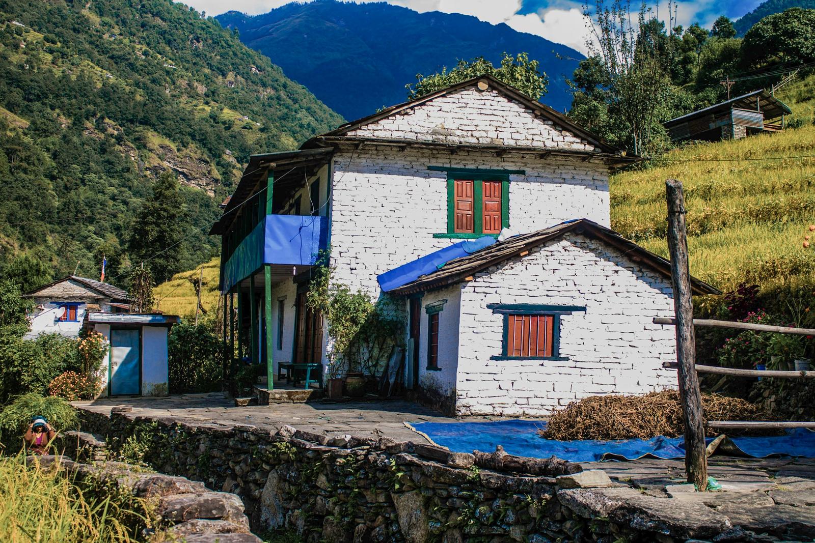
Pun is one of the Magar clans, and Pun Magars live in and around Myagdi district. Many Ghorepani hoteliers and local leaders are Puns, among them former rural municipality chair Dam Bahadur Pun. ACAP supports a museum in the village and says its museums in Ghandruk, Ghorepani and Sikles preserve "the rich cultural heritage, traditional lifestyle, and indigenous knowledge of the Gurung and Pun communities". Ask at your lodge whether it is open.
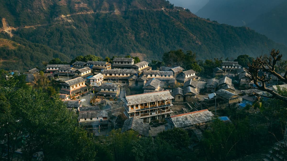
Lower down the loop, the Gurung communities the Nepal Tourism Board mentions are easy to find: Ghandruk village, east of Ghorepani via Tadapani, is a Gurung village.
How do you get to Ghorepani?
You reach Ghorepani on foot from Nayapul, by a rough road via Ulleri, or by a second road from Beni.
| Approach | Route | What it is like | Watch for |
|---|---|---|---|
| On foot | Nayapul, Birethanti, Tikhedhunga (about 1,500 m), Ulleri (about 2,000 m), Banthanti, Nangethanti, Ghorepani | The old route, with thousands of stone steps below Ulleri | Road crossings in places |
| Jeep, then walk (our loop) | Pokhara to Banthanti, or Ulleri when the upper road is poor, 3 to 4 hours; then 3 to 4 hours on foot | You still walk into Ghorepani through the forest | Mud near Bhaleodar after rain |
| Road via Ulleri | Gravel road from Nayapul via Birethanti and Ulleri | Vehicles now reach the village | Rough; heavy rain can block it |
| Road from Beni | Beni, Pokharebagar, Ghar, Shikha | The Myagdi-side road | Landslide-prone at Luliya Ghumti and Hallekharka |
On foot: the stone steps
Trekking companies put the stone steps between Tikhedhunga and Ulleri at more than 3,000; nobody has counted them officially. On our loop, the stone steps tire the knees more than the lungs, and trekking poles help. "Every uphill climb here teaches patience," wrote Mithun Kunwar in The Kathmandu Post in May 2026.
A tip on names: there are two places called Banthanti. One is between Ulleri and Ghorepani, at our jeep road head; the other is on the trail from Ghorepani to Tadapani.
The new road
Since late 2025 or early 2026, a rough road has run from Nayapul via Birethanti and Ulleri to Ghorepani. Reports disagree on the date: a Nepali report in March 2026 said it had operated since about October to November 2025, with buses from Pokhara, while another in June 2026 said the link was made this year, meaning the Nepali year that began in mid-April 2026. The Kathmandu Post reported in May 2026 that people from Kathmandu and Butwal can reach Ghorepani in a single day by private vehicle.
"Since vehicles can reach Ghorepani itself, it has become a preferred destination"
Mithun Kunwar, civil engineer and photographer, The Kathmandu Post, 17 May 2026
The road has costs. In April 2026, RSS reported vehicles stuck in mud near Bhaleodar. A travel writer found in May 2026 that the road bypasses Ulleri and lodges there lost overnight trade (Travories).
What we would tell a friend: walk at least one way. The road saves time, but the steps and the forest are much of what this trek is.
Ghorepani to Poon Hill: the sunrise climb
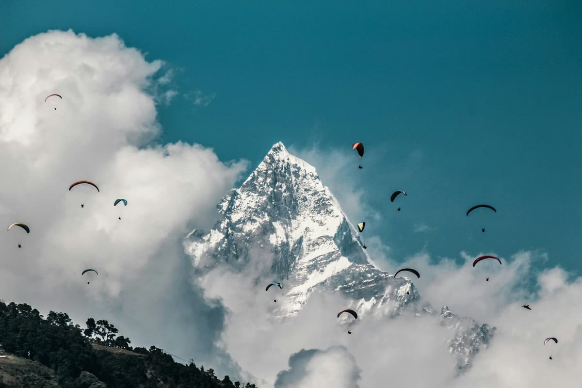
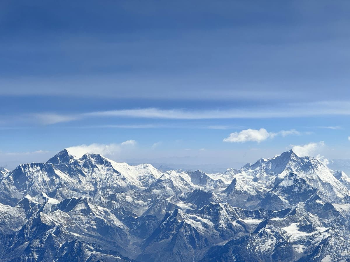
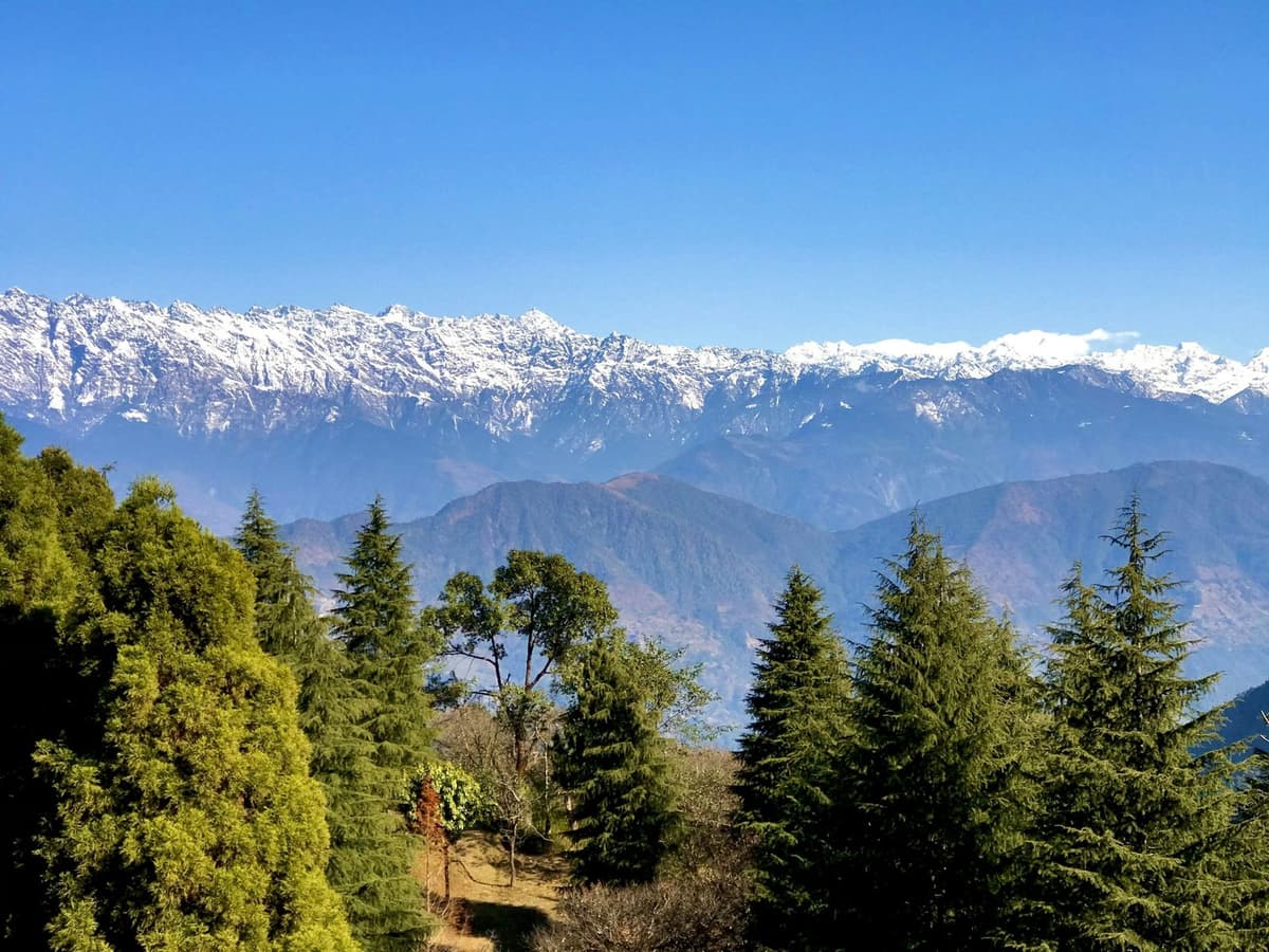
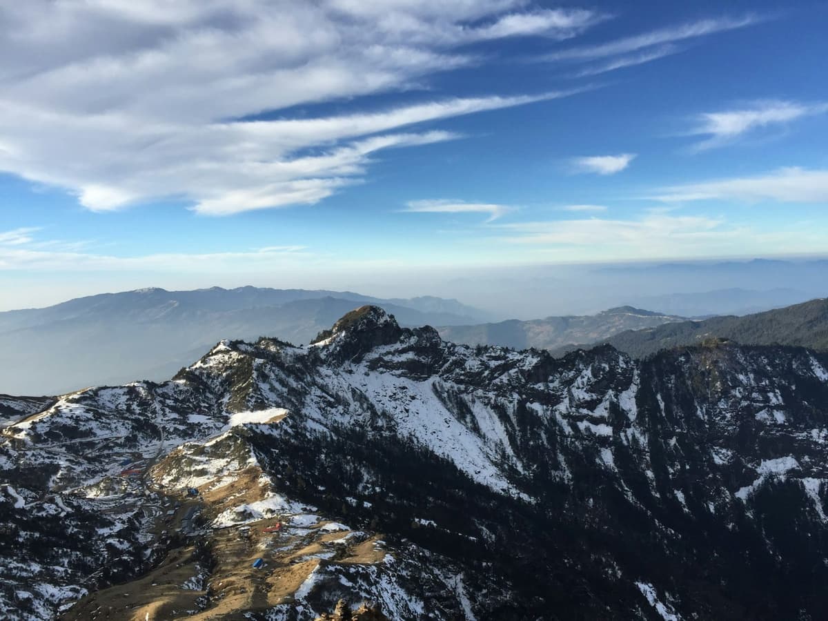
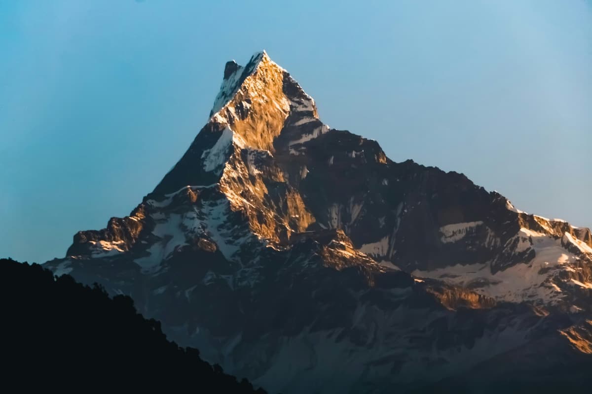
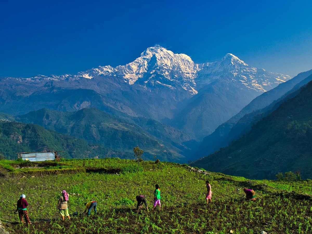
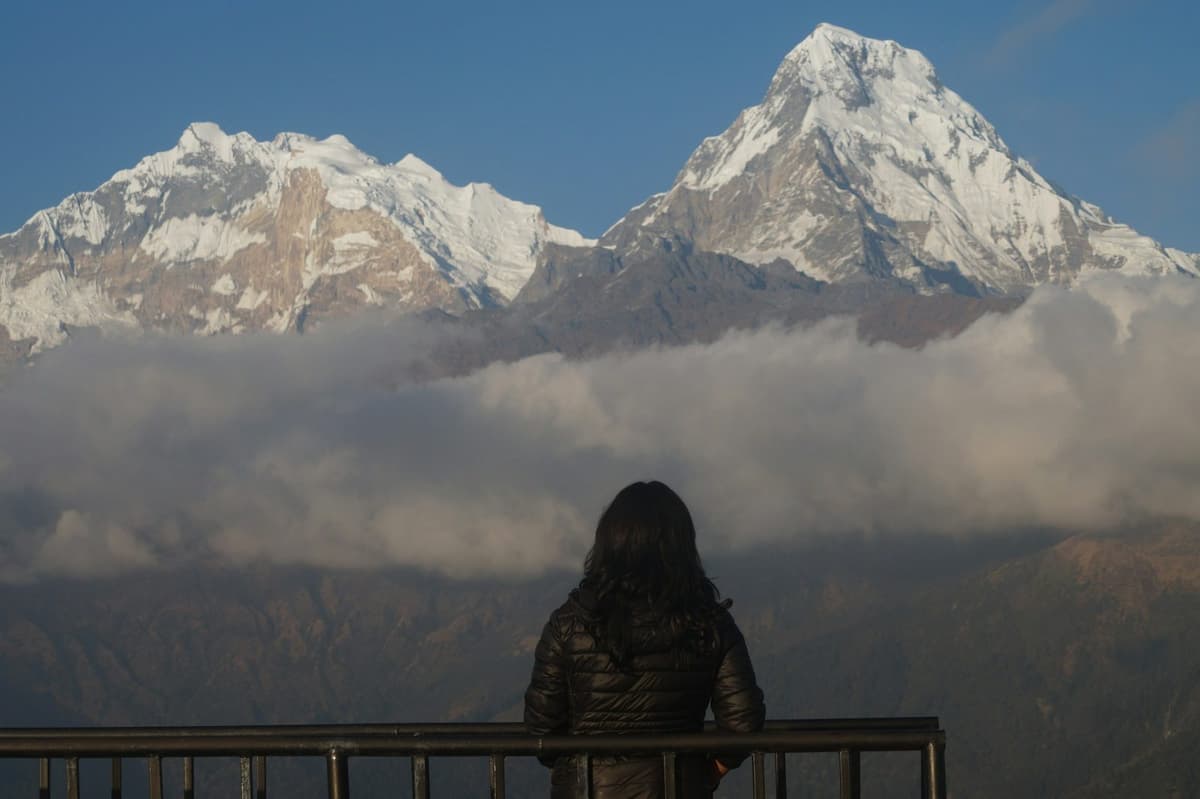
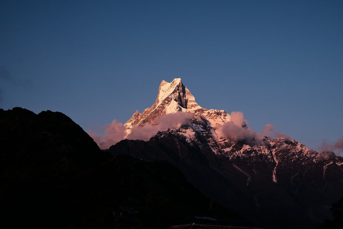
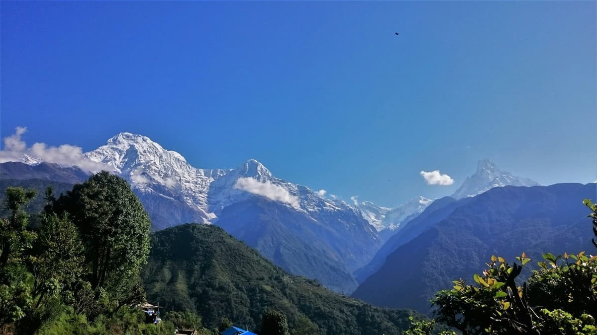
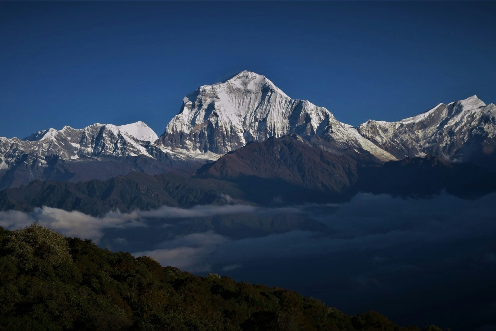
The walk from Ghorepani to Poon Hill takes about 30 minutes to an hour uphill; we allow 45 to 60 minutes by head torch before dawn. The Nepal Tourism Board describes the moment "the peaks of Annapurna and Dhaulagiri glow golden". Nepali reports also name Gurja Himal, Machhapuchhre and Nilgiri, and RSS says more than 15 Himalayan peaks can be seen.
Your Poon Hill morning, step by step
- The night before: agree a start time with your guide, and lay out warm layers, gloves, a hat and a head torch.
- Leave in the dark: we allow 45 to 60 minutes for the climb.
- Pay at the gate: NPR 150 for foreign visitors and NPR 50 for Nepalis, as reported in September 2026; no SAARC rate was stated, so ask. Carry small notes.
- Dress for cold: you are standing at 3,210 m before sunrise.
- Come down slowly, then eat breakfast and set off for Tadapani or back towards Ulleri.
Nobody can promise a clear sunrise. If the morning is cloudy and your plan has room, a second night gives you another try.
When does the rhododendron forest bloom?
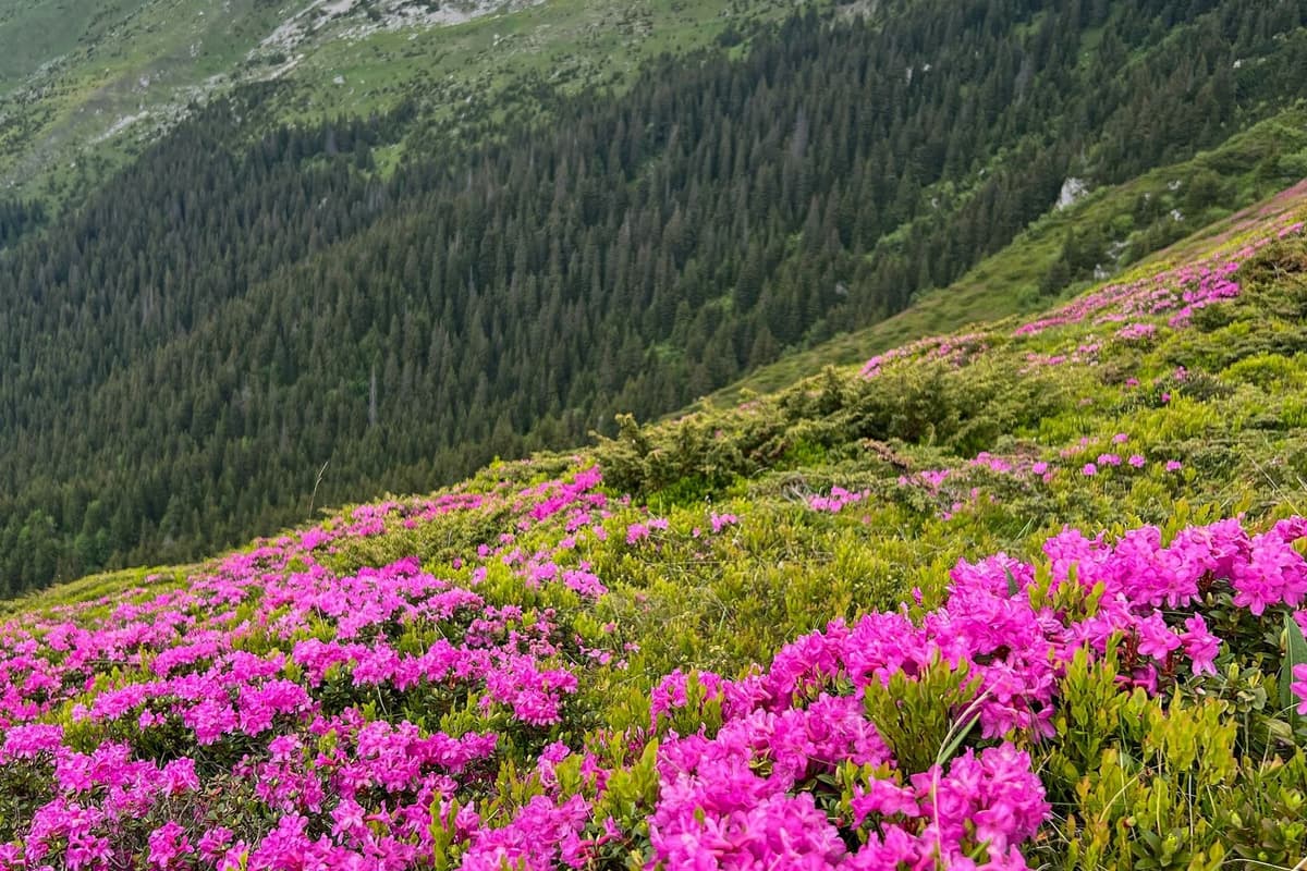
The rhododendron season at Ghorepani is roughly mid-March to mid-May, the Nepali months of Chaitra and Baisakh. ACAP, which manages the area, calls the forest around Ghorepani the world's largest rhododendron forest. We have seen no independent measure, so read that as ACAP's own description. Across the whole conservation area, ACAP counts 13 rhododendron species.
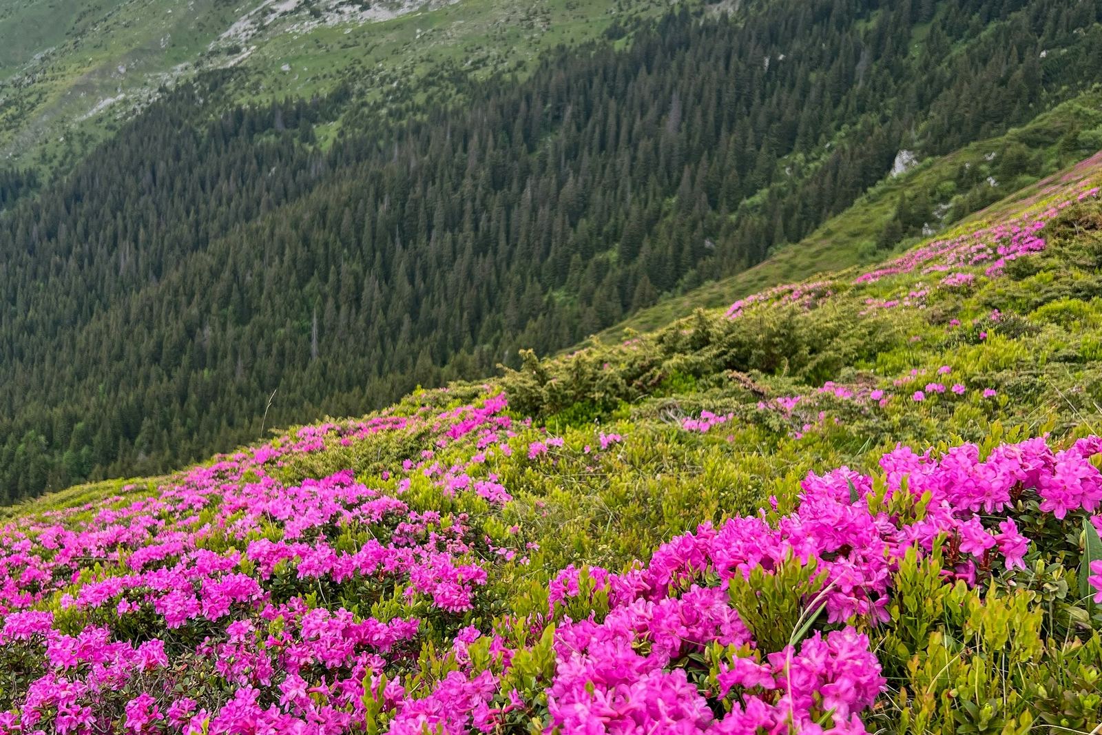
In 2026 the forest was reported in bloom on 20 March and again in mid-April, and a May 2026 feature in The Kathmandu Post described rhododendrons "in shades of red, pink, and white" across the trails. Timing shifts with height and from year to year.
What we would tell a friend: if flowers matter more than the clearest views, come in late March or April.
What is the weather like in Ghorepani?
Ghorepani has clear, cold mornings in October and November, a dry, cold winter with snow in some years, a spring of flowers, and heavy rain from June to September. No long-record weather station sits in the village. The nearest is Lumle, run by the Department of Hydrology and Meteorology (DHM).
| Month | Mean daily max (°C) | Mean daily min (°C) | Rain (mm) |
|---|---|---|---|
| January | 13.9 | 4.7 | 34.9 |
| February | 15.8 | 6.5 | 51.4 |
| March | 19.8 | 9.5 | 68.5 |
| April | 22.8 | 12.4 | 122.8 |
| May | 23.5 | 14.3 | 309.4 |
| June | 24.0 | 16.7 | 866.0 |
| July | 23.8 | 17.8 | 1,473.2 |
| August | 23.9 | 17.6 | 1,419.4 |
| September | 23.3 | 16.5 | 903.2 |
| October | 21.6 | 12.9 | 208.0 |
| November | 18.4 | 9.3 | 19.7 |
| December | 15.2 | 6.1 | 15.5 |
| Year | 5,492 |
Lumle station, 1,738 m, DHM normals 1991 to 2020. Ghorepani is more than 1,000 m higher and colder; the Nepal Tourism Board says temperatures drop about 6 °C for every 1,000 m. Read the table for the pattern, not as a Ghorepani forecast.
- Autumn, October and November: the clearest skies, after a monsoon that normally runs from 13 June to 2 October. Lumle's rain drops from 208.0 mm in October to 19.7 mm in November.
- Winter, December to February: the driest months. Lumle's January mean minimum is 4.7 °C, and Ghorepani is colder.
- Spring, March to May: flowers, with rain rising towards May and more afternoon cloud.
- Monsoon, June to September: the wettest months, with 1,473.2 mm in July at Lumle; heavy rain brings landslides and mud to the roads.
Snow falls in some winters, not all. In February 2019 tourists were stranded in the Ghorepani area, and a local resident told The Kathmandu Post:
"There is at least about two feet of snow in the area. And tourists visiting in the area have been stuck here."
Chitra Bahadur Pun, Ghodepani, The Kathmandu Post, 8 February 2019
If you are weighing a cold-season walk, our guide to winter treks in Nepal compares the options.
Will you feel the altitude in Ghorepani?
You might, mildly. The US CDC says unacclimatised travellers sleeping at about 2,450 m (8,000 ft) or more are at risk of altitude illness, and Ghorepani, at about 2,850 m, is above that line. You stay below 3,000 m at night; Poon Hill is a dawn visit. On our loop, most people notice only breathlessness on the steps; a mild headache is possible, and the guide checks on everyone each evening.
- Go up slowly. Above about 3,000 m, add no more than about 500 m of sleeping height a night, with an extra night for every 1,000 m.
- Walk slowly, drink water, and avoid alcohol for your first days at height.
- Know the symptoms. Our guide to altitude sickness on Nepal treks lists them.
- Never go higher to sleep with symptoms, and descend if they get worse despite rest.
- Ask your doctor before the trip about preventive medicine such as acetazolamide.
Garlic or hot soup is a comforting local tradition, not a proven cure.
Permits and the Poon Hill ticket
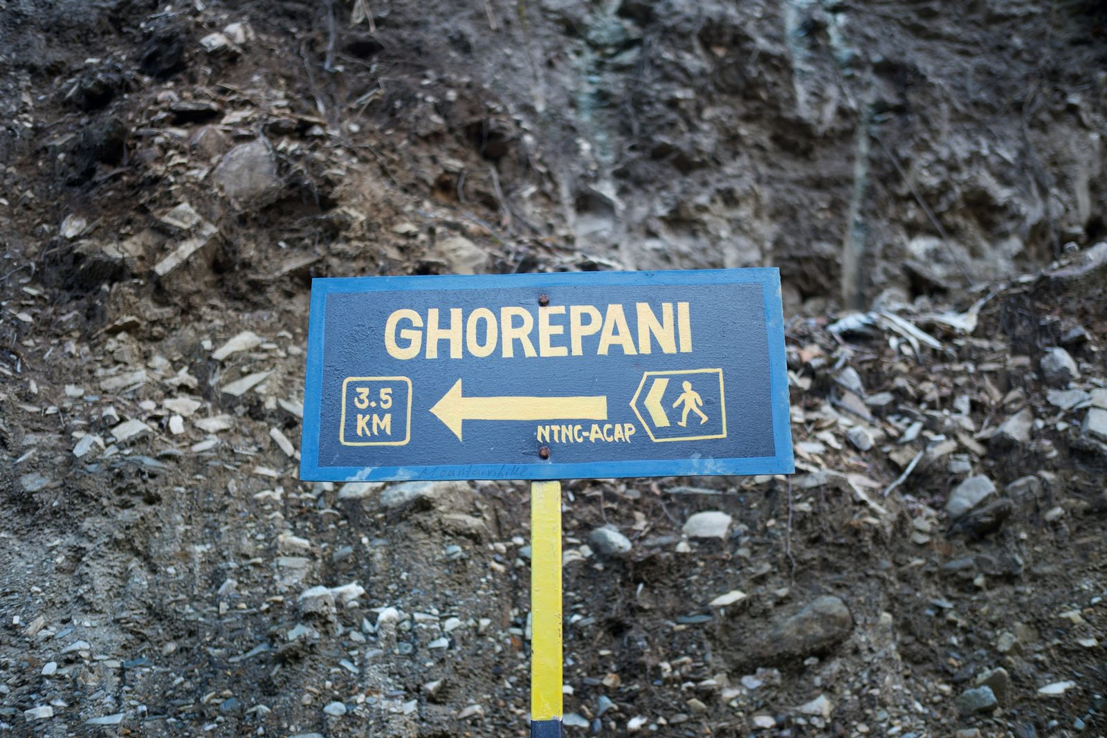
You need an ACAP entry permit for Ghorepani, because the village is inside the Annapurna Conservation Area. When you trek with us, we arrange it.
| Fee | Amount | Notes |
|---|---|---|
| ACAP permit, foreign nationals | NPR 3,000, tax included | Single entry |
| ACAP permit, SAARC nationals, including India | NPR 1,000, tax included | Single entry |
| Children under 10 | No permit needed | |
| ACAP permit bought at a checkpost | Double the fee | Buy it before you set off |
| Poon Hill ticket | NPR 150 foreign visitors, NPR 50 Nepalis | Rural municipality fee, reported September 2026 |
You can buy the ACAP permit on the NTNC e-permit site, which adds a 2.9% payment gateway charge. The Poon Hill ticket is a separate fee set by Annapurna Rural Municipality, Myagdi, and collected at the viewpoint; we found no notice on the municipality's own site, so check at the gate.
Lodges and where to walk next
Ghorepani has about 25 hotels and lodges that can sleep around 1,000 people a night, according to an RSS report in October 2026; earlier counts ranged from 23 to 27. Figures from Ghorepani's tourist police post, reported in November 2025, put visitors to Ghorepani and Poon Hill at about 30,000 a year.
| From Ghorepani | Route | Time on our loop |
|---|---|---|
| East to Tadapani | Up to the Deurali ridge, then down through forest to Tadapani, about 2,600 to 2,700 m | 4 to 6 hours |
| On to Ghandruk | Tadapani down to Ghandruk, well below the 2,450 m line | 3 to 5 hours downhill |
| Back the way you came | Down to Ulleri and the road head | Ask us |
The classic loop climbs through Ulleri to Ghorepani, takes in the sunrise, then heads east through Tadapani to Ghandruk. Our Poon Hill and Ghandruk loop trek from Pokhara follows that line, and our Ghorepani Poon Hill treks page lists other short options.
With more time, combine Ghorepani with the Annapurna Base Camp trek. Still choosing? Our comparison of Annapurna Base Camp, the Circuit and Poon Hill sets the three side by side.
Frequently asked questions
How high is Ghorepani?
About 2,850 m, though published heights range from about 2,750 to 2,874 m and we found no survey figure. Poon Hill, the viewpoint above the village, is 3,210 m (about 10,530 ft), according to the Nepal Tourism Board. Every published figure is above the roughly 2,450 m sleeping height where the US CDC says altitude illness becomes a risk.
Can you drive to Ghorepani?
Yes, on rough roads. A gravel road runs from Nayapul via Birethanti and Ulleri, opened in late 2025 or early 2026 (reports differ), and buses from Pokhara were reported in March 2026. A second road climbs from Beni through Pokharebagar. Mud and landslides can block both after heavy rain, so check before you set off.
Do you need a permit for Ghorepani and Poon Hill?
Yes. You need an ACAP entry permit: NPR 3,000 for foreign nationals and NPR 1,000 for SAARC nationals, tax included; children under 10 go free, and it costs double at a checkpost. Poon Hill also has a rural municipality ticket, reported in September 2026 as NPR 150 for foreign visitors and NPR 50 for Nepalis.
How long is the walk from Ghorepani to Poon Hill?
About 30 minutes to an hour uphill, depending on your pace and how busy the steps are. We allow 45 to 60 minutes by head torch, so that you reach the top before the sun. Come down slowly: the steps are steep.
When do the rhododendrons bloom at Ghorepani?
Roughly mid-March to mid-May, the Nepali months of Chaitra and Baisakh. In 2026 the forest was reported in bloom on 20 March and in mid-April. Timing shifts with height and from year to year. ACAP calls the Ghorepani forest the world's largest rhododendron forest; we found no independent measure.
Does it snow in Ghorepani?
In some winters. In February 2019 a local resident told The Kathmandu Post there was "at least about two feet of snow" and tourists were stuck. We could not confirm snow there in recent winters, so do not plan around it. Nights are cold anyway: Lumle, more than 1,000 m lower, averages a January minimum of 4.7 °C.
Plan your Ghorepani trip with us
A licensed guide walks with you on every trek we run. We arrange your ACAP permit, lodges and private transport inside Nepal. Send us your dates and how many days you have, on WhatsApp or through our enquiry form, and we will tell you honestly which version of the walk suits you and how the roads look that week.
Your Nepal visa and international flights are your own arrangements. Official visa information is on the Nepal Tourism Board tourist-visa page.