


Explore by activity
Not listed yet

We run Motorbiking & Overland trips — we just haven’t put the itinerary on the site yet. Tell us your dates and we’ll send a costed day-by-day plan.

Explore by experience
Explore by region
by gomayu
Search Tours or Places

Manaslu Himal: The Mountain Behind the Circuit

12 min read Posted 29 Oct 2026Updated 29 Oct 2026
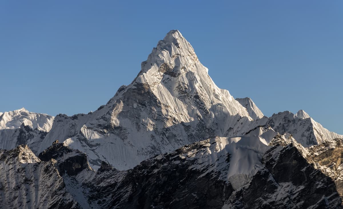
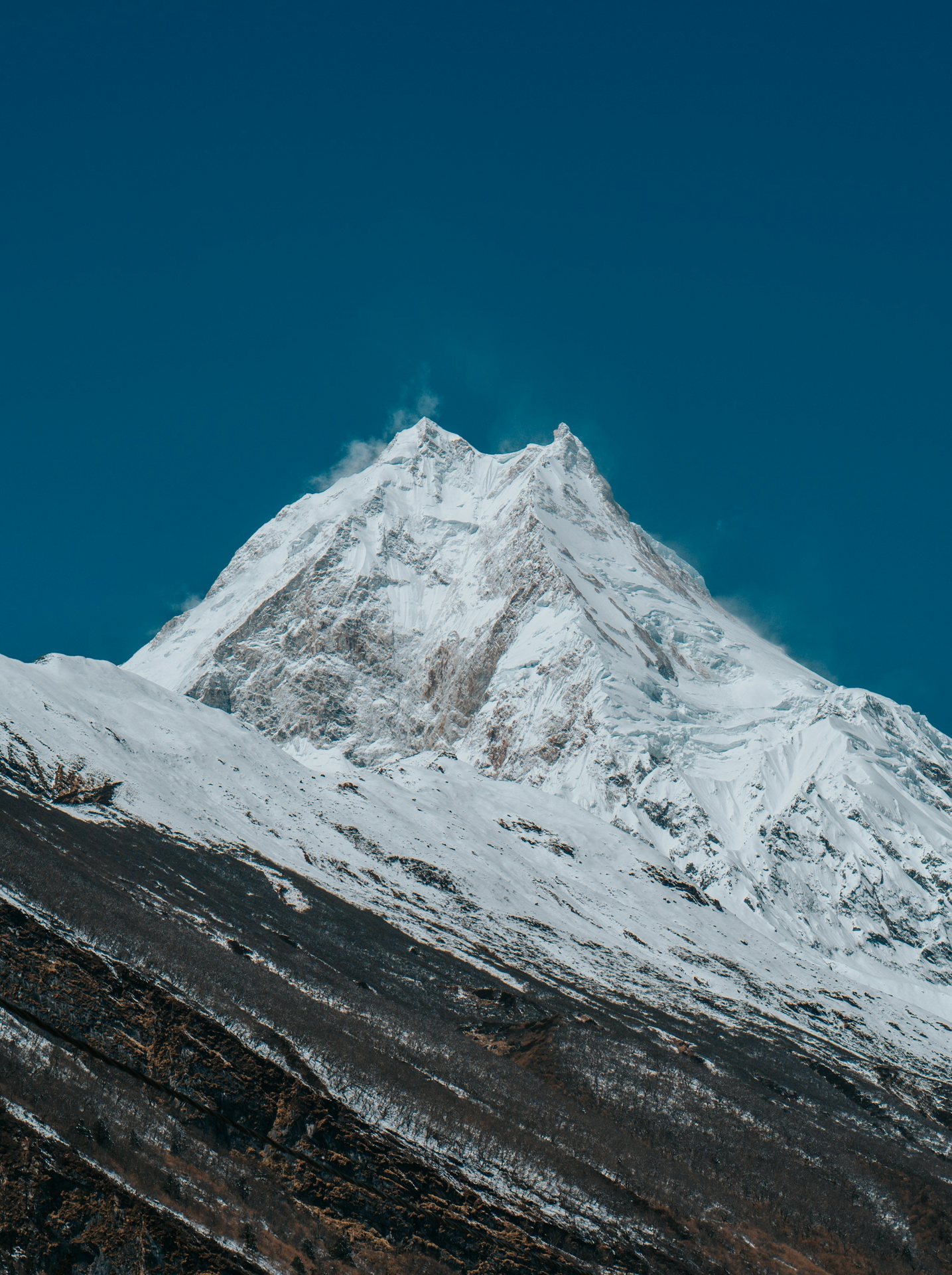
Manaslu Himal, the summit of Manaslu seen from Samagaun

By Uncover Nepal Team · Checked by our Kathmandu travel team · Last checked 30 October 2026

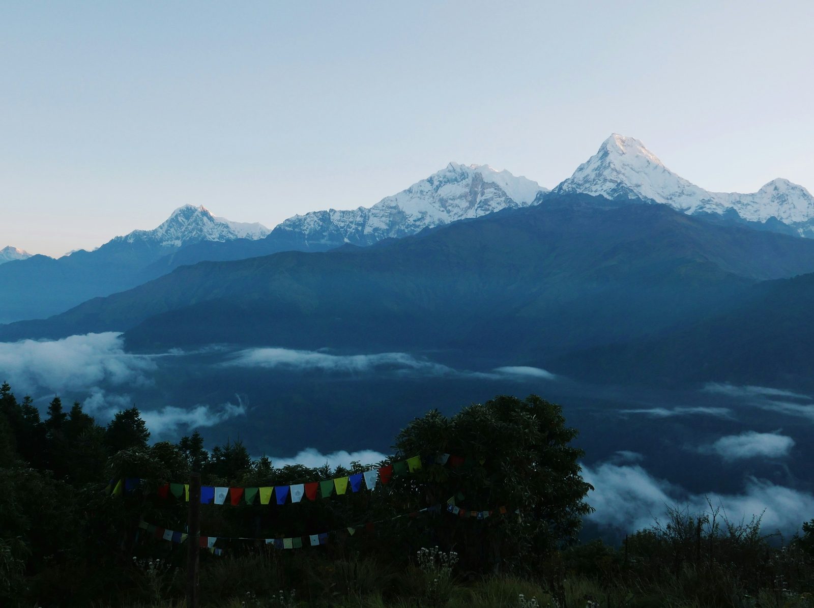
From the stone lanes of Samagaun, at 3,530 m, Manaslu does not look like a distant peak. It fills the head of the valley, snow and ice rising straight above the prayer flags. On our trips you spend two nights here.

Manaslu Himal, usually just called Manaslu, is the 8,163 m (26,781 ft) mountain that the Manaslu Circuit walks around, in Gorkha district of northern Nepal. It is the eighth-highest mountain in the world. Trekkers do not climb it: they see it from Lho, Samagaun and Birendra Tal, and cross the Larkya La, far below its summit.

The walk itself, with dates and what we arrange, is on our Manaslu Circuit trek page. This guide is about the mountain behind it: its height, name and climbing history, what climbers pay, and where you see it from the trail.

Key facts

Height and rank
8,163 m (26,781 ft), eighth-highest in the world; some older reports give 8,156 m (DNPWC; Department of Tourism, 30 Oct 2026)
Range and district
Mansiri Himal range, Gorkha district (Wikipedia, 30 Oct 2026)
First ascent
9 May 1956, Toshio Imanishi and Gyalzen Norbu Sherpa, Japanese expedition (The Himalayan Times; Wikipedia, 30 Oct 2026)
Climbing royalty, foreign climber
USD 3,000 in autumn; USD 1,500 in spring, winter and summer; effective 1 Sep 2025 (Department of Tourism, 30 Oct 2026)
Climbers, autumn 2026
500 in 43 teams, the most for any peak that season (Department of Tourism royalty report (29 Oct 2026), 30 Oct 2026)
Protected area
Manaslu Conservation Area, declared in 1998, 1,663 sq km (DNPWC, 30 Oct 2026)
Trek high point
Larkya La, 5,106 m (5,160 m is also published) (DNPWC, 30 Oct 2026)

In this guide

  • How high is Manaslu Himal, and where is it?
  • What does the name Manaslu mean?
  • Who first climbed Mount Manaslu?
  • Why was Manaslu's true summit disputed?
  • What accidents have happened on Manaslu?
  • What does it cost to climb Manaslu, and how many people try?
  • Where can trekkers see Manaslu on the circuit?
  • What is the Manaslu Conservation Area?
  • Frequently asked questions
  • Which Manaslu trip should you ask us about?

How high is Manaslu Himal, and where is it?

Manaslu Himal is 8,163 m (26,781 ft) high, the figure used by Nepal's Department of National Parks and Wildlife Conservation (DNPWC) and the Department of Tourism. That makes it the eighth-highest mountain in the world. It stands in the Mansiri Himal range of Gorkha district, in northern Nepal.

Older press reports sometimes give 8,156 m; we use the official figure. For trekkers, the Manaslu altitude is mainly a comparison: the circuit loops around the massif, and its high point is a pass, not a summit.

Point Altitude What it is
Manaslu summit 8,163 m (26,781 ft) The peak; climbers only
Larkya La (Larke Pass) 5,106 m (5,160 m is also published) Highest point of the trek
Manaslu Base Camp About 4,800 m (operator figure) Expedition camp; optional day hike for trekkers
Samdo 3,875 m (3,860 m in some sources) Last village before the pass
Samagaun 3,530 m Village at the foot of the mountain

Our Larke Pass guide covers the crossing day.

What does the name Manaslu mean?

The name Manaslu is usually translated as "mountain of the spirit", from the Sanskrit word manasa, which can mean "intellect" or "soul". That is the common explanation in reference works and Nepali travel writing, not an official definition. Manaslu, Mount Manaslu and Manaslu Himal all mean the same mountain.

Who first climbed Mount Manaslu?

Mount Manaslu was first climbed on 9 May 1956 by Toshio Imanishi of Japan and Gyalzen Norbu Sherpa, members of a Japanese expedition led by Yuko (Aritsune) Maki. It followed a Japanese attempt in 1953 and a Japanese team that was turned back in 1954.
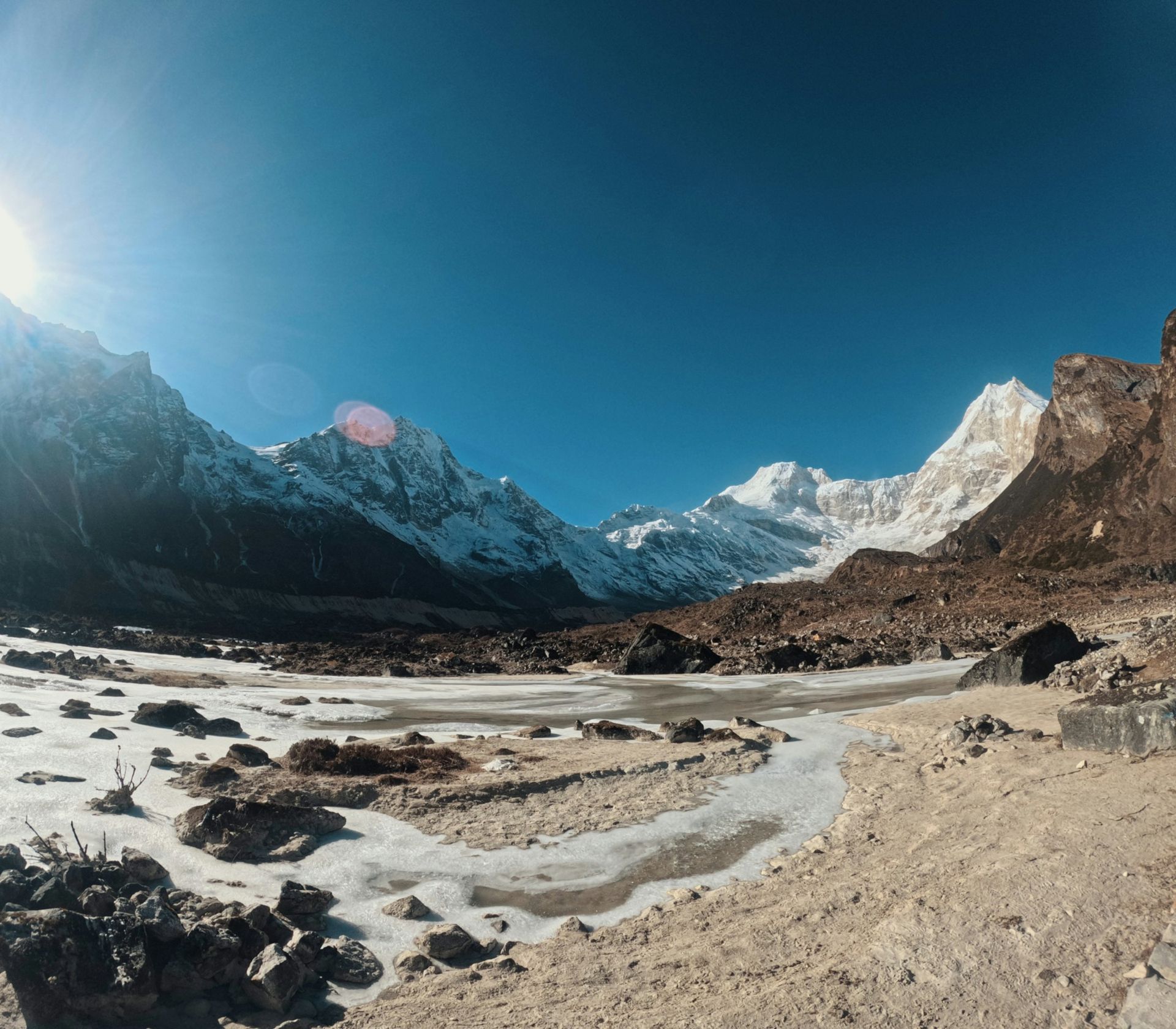
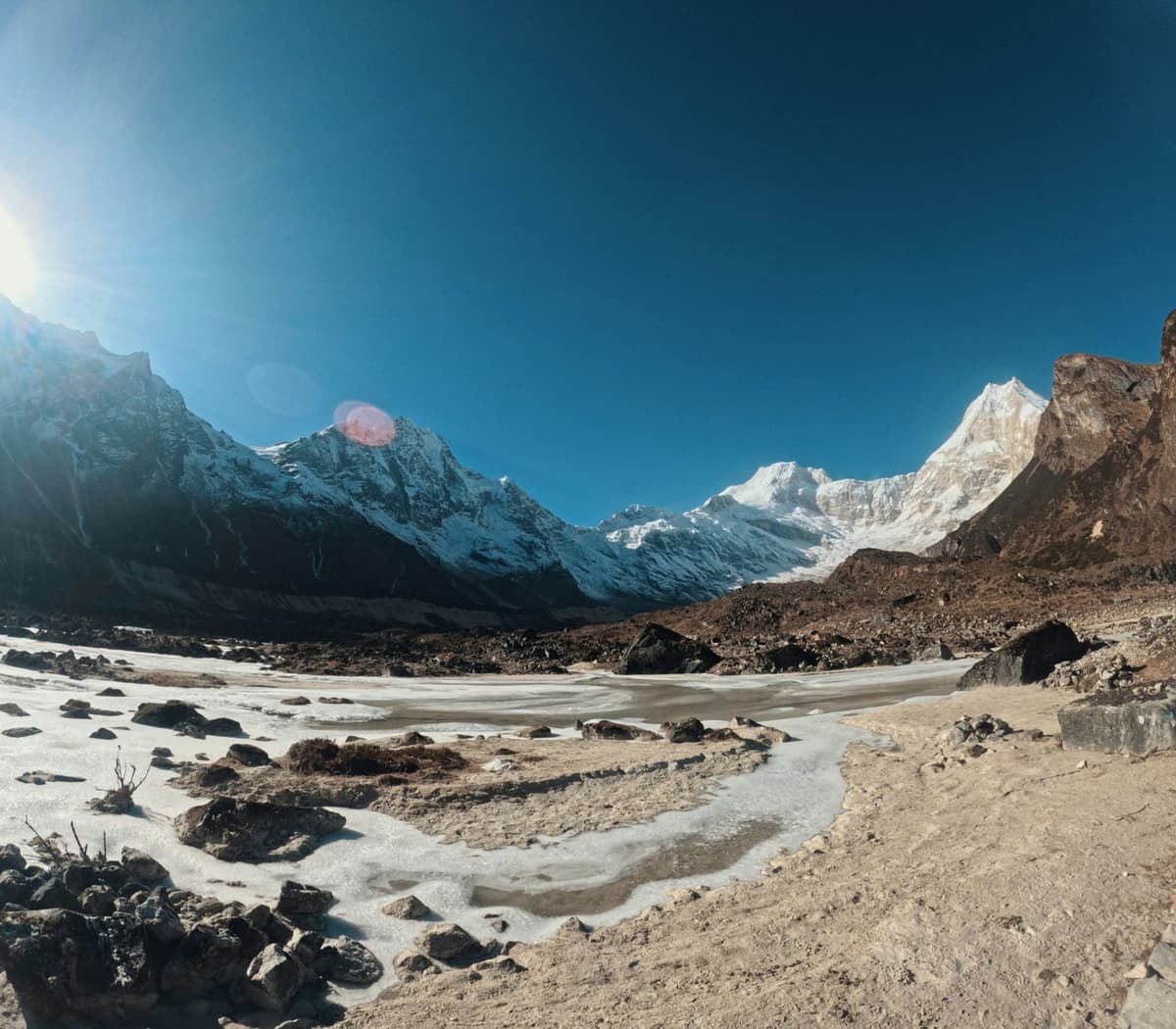
Manaslu and its glacier valley from near Pungyen Gompa
The glacier valley below Manaslu near Pungyen Gompa.

A Japanese team set up base camp at Samagaun in 1953 and reached 7,750 m before turning back. According to local tradition, recorded on a Manaslu Conservation Area Project board at Pungyen Gompa, an avalanche destroyed the original monastery there and killed 18 people. When a Japanese team returned in 1954, villagers in Samagaun blamed the expeditions and turned the climbers back.

The first winter ascent came on 12 January 1984, by the Polish climbers Maciej Berbeka and Ryszard Gajewski. On 9 May 2026 Samagaun marked 70 years since the first ascent and unveiled a statue of Toshio Imanishi (The Himalayan Times, 10 May 2026).

Why was Manaslu's true summit disputed?

Manaslu has a fore-summit separated from the true summit by a sharp, corniced ridge. A 2021 investigation reported in the American Alpine Journal found that most people who had claimed the summit had not stood on the true top. Many had stopped at the fore-summit.

On 27 September 2021 Mingma Gyalje Sherpa, known as Mingma G, and his team reached the true summit, OnlineKhabar reported. The Himalayan Database said it would add notes to older summit records, and the Department of Tourism responded:

"This is news to us. We'll discuss it among ourselves and expedition operators,"

Meera Acharya, Department of Tourism director, quoted by OnlineKhabar, 5 October 2021

The following September, rope-fixers led by Mingma David Sherpa fixed the line all the way to the true summit. Everest Chronicle reported that the fore-summit is "some 7 meters below the real summit", and quoted Mingma David: "Hundreds of climbers were eagerly waiting for us to fix the line to the real Manaslu summit," (Everest Chronicle, 20 September 2022).

What accidents have happened on Manaslu?

Manaslu is an 8,000 m peak with real avalanche risk. Before dawn on 23 September 2012 an avalanche hit Camp 3, at about 7,400 m on the normal route, and killed climbers in their tents. It killed at least 11 people; later counts give 11 or 12.

On 26 September 2022 an avalanche below Camp 4 killed the Nepali guide Anup Rai and injured others. The same day the US ski mountaineer Hilaree Nelson died after falling while skiing from the summit. On 1 October another avalanche killed the guide Dawa Chhiring Sherpa.

The trekking route stays far below the climbing camps. Its own risks are altitude, weather and the long pass day; see our guide to altitude sickness on Nepal treks.

What does it cost to climb Manaslu, and how many people try?

To climb Manaslu, a foreign climber pays a royalty to the Department of Tourism of USD 3,000 in autumn and USD 1,500 in spring, winter or summer, under rates effective from 1 September 2025. The royalty is only part of an expedition budget; this guide does not cover the rest.

Season Manaslu royalty per foreign climber
Autumn USD 3,000
Spring USD 1,500
Winter and summer USD 1,500

Manaslu has its own line in the Department of Tourism table. Unlike the rate for other 8,000 m peaks except Everest (USD 3,000 in spring, USD 1,500 in autumn, USD 750 in winter and summer), it costs more in autumn than in spring. Expeditions to 8,000 m peaks outside the Khumbu and Annapurna regions also pay a garbage deposit of USD 3,000, according to the same page.

Autumn is the busy season. The Department of Tourism's royalty report of 29 October 2026 shows 500 climbers (373 men and 127 women) in 43 teams with Manaslu permits for autumn 2026, the most for any peak, with USD 1,485,816 in royalty. By early October 2025, for comparison, 374 climbers in 31 teams held Manaslu permits (The Himalayan Times, 9 October 2025). The season ended early: in late September persistent snow made operators call off summit attempts, and climbers began leaving the mountain (The Himalayan Times, 22 September 2026).

Trekkers walking to base camp need only the circuit permits; see our Manaslu Base Camp guide.

Where can trekkers see Manaslu on the circuit?

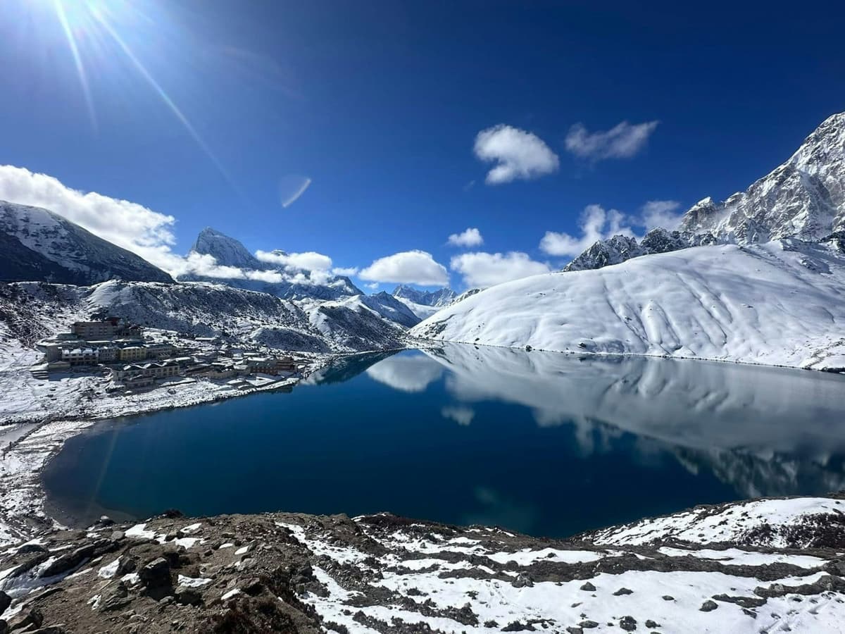
Manaslu comes into full view between Namrung and Lho, fills the sky at Lho and Samagaun, and shows again from Bimthang after the pass. The closest views are on the side walks from Samagaun to Birendra Tal, Pungyen Gompa and base camp. Cloud can hide it on any day.
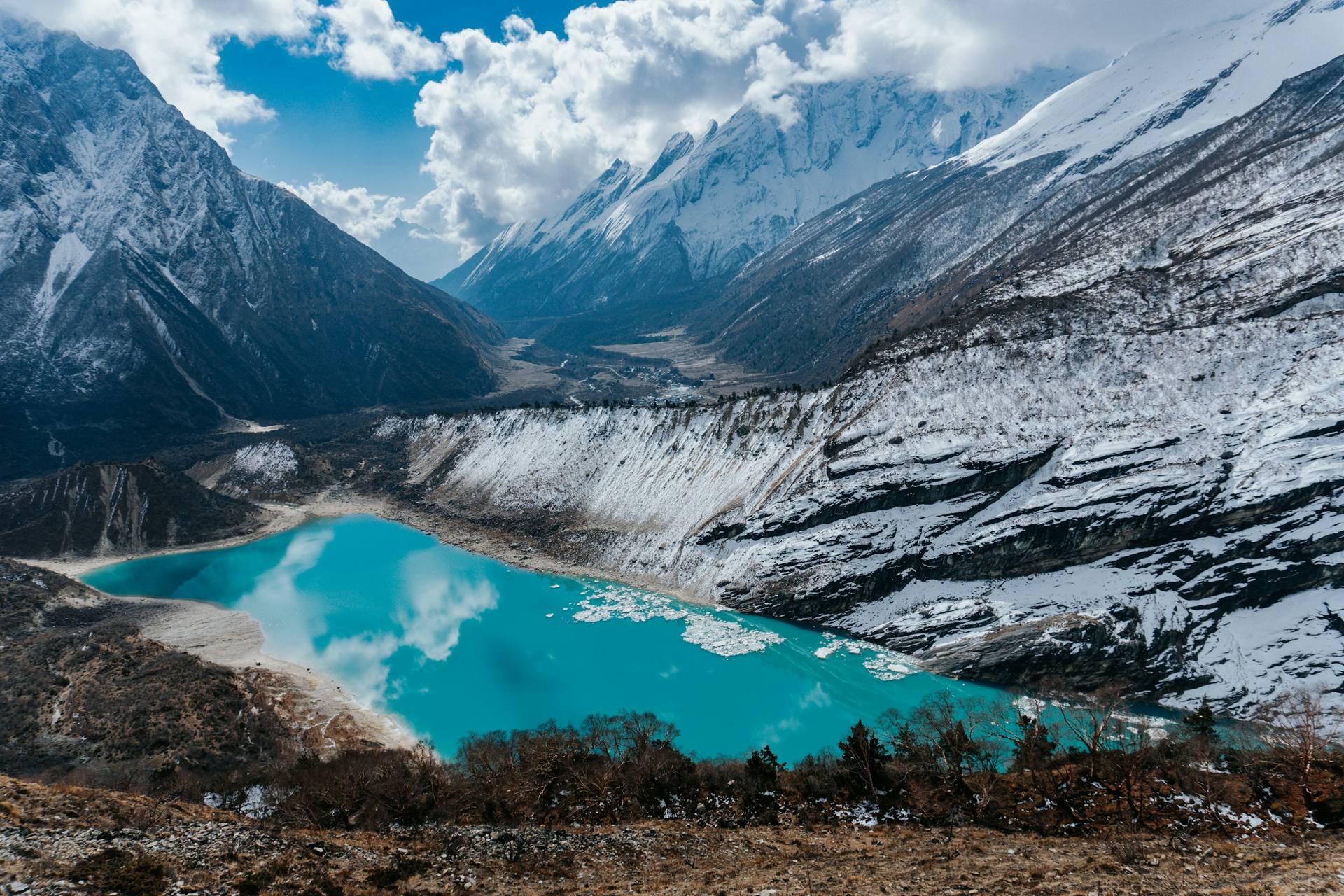
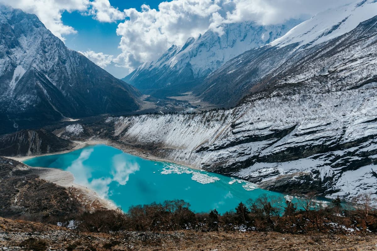
Birendra Tal glacier lake below Manaslu near Samagaun
Birendra Tal below Manaslu, near Samagaun.
Where Altitude What you see
Namrung to Shyala About 2,630 m to about 3,500 m First full views as the valley opens
Lho About 3,180 m The double summit in full view
Samagaun 3,530 m The mountain directly above the village
Birendra Tal 3,691 m A glacial lake below the mountain, the easiest side walk
Manaslu Base Camp About 4,800 m (operator figure) The glacier and expedition camp, on a hard day hike
Bimthang About 3,720 m Manaslu clearly visible from the Manang side

Wikipedia records that in 1950 the explorer H. W. Tilman's party saw Manaslu clearly from Bumtang (Bimthang). For clear skies, go in autumn: the Nepal Tourism Board says "the clearest skies are found after the monsoon in October and November". Spring is the other good season. The route, village by village, is in our Manaslu Circuit route guide.

What is the Manaslu Conservation Area?

The Manaslu Conservation Area protects the land around the mountain. It was declared on 28 December 1998, covers 1,663 sq km and runs from about 600 m to the 8,163 m summit, according to DNPWC and NTNC. The National Trust for Nature Conservation (NTNC) manages it, with check posts at Jagat, the main entrance, and Samagaun.

It covers seven wards of Chumnubri Rural Municipality: Sirdibas, Chumchet, Chhekampar, Bihi, Prok, Lho and Samagaun. In NTNC's grouping, Nubri is Samagaun, Lho and Prok; Kutang is Bihi; and Tsum is Chumchet and Chhekampar.

Several thousand people live here (NTNC says about 9,000, DNPWC about 7,000), most of Tibetan origin and Buddhist.

"Lamas (religious leaders) from the monasteries prohibit any kind of violence against wildlife."

NTNC, Manaslu Conservation Area Project

The area opened to foreign trekkers in the early 1990s, and the Tsum Valley followed in 2008; see our Tsum Valley guide. Manaslu is now Nepal's most visited restricted area: 17,710 foreign trekkers in 2025, against a five-year average of 10,371 a year, according to Department of Immigration figures reported by The Rising Nepal.

Frequently asked questions

How difficult is the Manaslu Circuit and the Larkya La pass?

The Manaslu Circuit is strenuous but not technical; that is our grading on our trip pages. The hard day is the Larkya La, at 5,106 m (5,160 m is also published): usually 8 to 11 hours from Dharmasala (about 4,460 m) to Bimthang (about 3,720 m), about 650 m up and 1,400 m down, longer in snow. Your guide, who knows the route, decides when and how to cross, based on snow and the forecast.

How many days does the Manaslu Circuit take?

Our Manaslu Circuit trip takes 12 days from Kathmandu, with two nights at Samagaun for acclimatisation; adding the Tsum Valley makes it 16 days, 14 of them on the trail. Above 3,000 m the CDC advises sleeping no more than about 500 m higher each night, with an extra day for every 1,000 m, so a shorter plan leaves less room to acclimatise.

Which permits does the Manaslu Circuit need, what do they cost, and is there a minimum group size?

You need the Manaslu restricted-area permit (USD 100 per person for the first week from September to November, then USD 15 a day; USD 75 and USD 10 a day from December to August), plus the MCAP and ACAP conservation permits at NPR 3,000 each for foreign nationals. There has been no minimum group size since 22 March 2026. Our Manaslu trek permit guide sets out every fee.

Can I trek the Manaslu Circuit solo or without a guide?

You can trek solo, but not without a guide. Since 22 March 2026 the Department of Immigration can issue the restricted-area permit to one trekker, through a registered agency and with a licensed guide (The Kathmandu Post, 22 March 2026). Under the same rule, the Department of Immigration says the agency is responsible for emergency rescue. A licensed guide walks with you on every trek we run.

Do I need a climbing permit to see Manaslu or walk to its base camp?

No. The climbing permit and royalty from the Department of Tourism apply only to expeditions going for the summit. Trekkers who walk the circuit, or take the day hike from Samagaun to Manaslu Base Camp, need only the trekking permits: the Manaslu restricted-area permit, the MCAP permit and, for the exit through Bimthang and Dharapani, the ACAP permit.

Is the Manaslu Circuit worth it compared with the Annapurna Circuit?

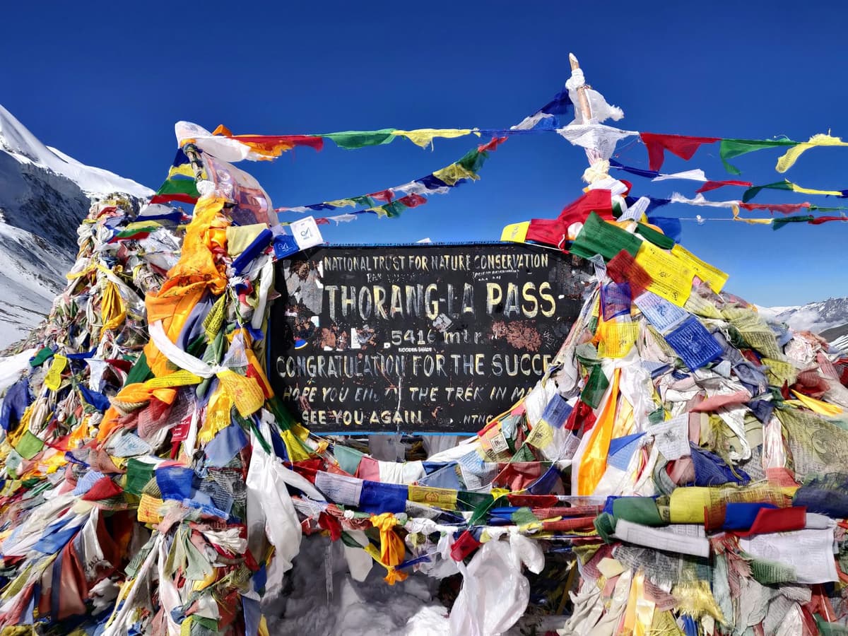
In our view, yes, if you want a more remote-feeling route and accept stricter rules: Manaslu is a restricted area, so you need a registered agency and a licensed guide. Its pass, the Larkya La at 5,106 m, is lower than the Annapurna Circuit's Thorong La at 5,416 m. The Kathmandu Post reports that roads to Upper Manang and Muktinath have cut most Annapurna Circuit trips to about seven to 10 days; see our Annapurna Circuit altitude guide.

Which Manaslu trip should you ask us about?
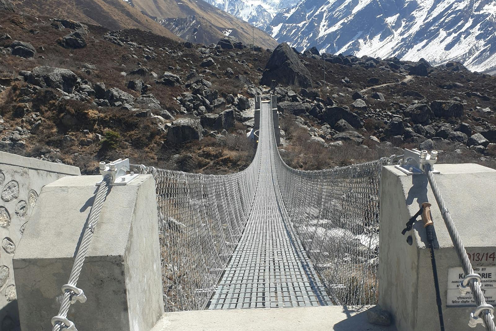
Trekkers crossing a suspension bridge over a river gorge on the Manaslu Circuit trek
A suspension bridge on the lower part of the Manaslu Circuit.

Manaslu Himal is the reason the circuit exists: you walk around the eighth-highest mountain in the world and see it close from Lho, Samagaun and Bimthang. This guide is for trekkers, not climbers. Our Manaslu Circuit trek page compares our trips: the 12-day Manaslu Circuit trek from Kathmandu and a 16-day trip that adds the Tsum Valley. For the full budget, see our Manaslu Circuit trek cost guide.

Not sure if your dates suit the season or this autumn's trail repairs? Ask us on WhatsApp or through the enquiry form, and we will tell you honestly what is open.
Tags
ManasluManaslu CircuitMount ManasluManaslu altitudeManaslu Conservation AreaGorkha
Share
U
Uncover Nepal Team
Writer at Uncover Nepal
More in TreksSee all Treks

Manaslu Himal: The Mountain Behind the Circuit

12 min read Posted 29 Oct 2026Updated 29 Oct 2026
Manaslu Himal, the summit of Manaslu seen from Samagaun

By Uncover Nepal Team · Checked by our Kathmandu travel team · Last checked 30 October 2026

From the stone lanes of Samagaun, at 3,530 m, Manaslu does not look like a distant peak. It fills the head of the valley, snow and ice rising straight above the prayer flags. On our trips you spend two nights here.

Manaslu Himal, usually just called Manaslu, is the 8,163 m (26,781 ft) mountain that the Manaslu Circuit walks around, in Gorkha district of northern Nepal. It is the eighth-highest mountain in the world. Trekkers do not climb it: they see it from Lho, Samagaun and Birendra Tal, and cross the Larkya La, far below its summit.

The walk itself, with dates and what we arrange, is on our Manaslu Circuit trek page. This guide is about the mountain behind it: its height, name and climbing history, what climbers pay, and where you see it from the trail.

Key facts

Height and rank
8,163 m (26,781 ft), eighth-highest in the world; some older reports give 8,156 m (DNPWC; Department of Tourism, 30 Oct 2026)
Range and district
Mansiri Himal range, Gorkha district (Wikipedia, 30 Oct 2026)
First ascent
9 May 1956, Toshio Imanishi and Gyalzen Norbu Sherpa, Japanese expedition (The Himalayan Times; Wikipedia, 30 Oct 2026)
Climbing royalty, foreign climber
USD 3,000 in autumn; USD 1,500 in spring, winter and summer; effective 1 Sep 2025 (Department of Tourism, 30 Oct 2026)
Climbers, autumn 2026
500 in 43 teams, the most for any peak that season (Department of Tourism royalty report (29 Oct 2026), 30 Oct 2026)
Protected area
Manaslu Conservation Area, declared in 1998, 1,663 sq km (DNPWC, 30 Oct 2026)
Trek high point
Larkya La, 5,106 m (5,160 m is also published) (DNPWC, 30 Oct 2026)

In this guide

  • How high is Manaslu Himal, and where is it?
  • What does the name Manaslu mean?
  • Who first climbed Mount Manaslu?
  • Why was Manaslu's true summit disputed?
  • What accidents have happened on Manaslu?
  • What does it cost to climb Manaslu, and how many people try?
  • Where can trekkers see Manaslu on the circuit?
  • What is the Manaslu Conservation Area?
  • Frequently asked questions
  • Which Manaslu trip should you ask us about?

How high is Manaslu Himal, and where is it?

Manaslu Himal is 8,163 m (26,781 ft) high, the figure used by Nepal's Department of National Parks and Wildlife Conservation (DNPWC) and the Department of Tourism. That makes it the eighth-highest mountain in the world. It stands in the Mansiri Himal range of Gorkha district, in northern Nepal.

Older press reports sometimes give 8,156 m; we use the official figure. For trekkers, the Manaslu altitude is mainly a comparison: the circuit loops around the massif, and its high point is a pass, not a summit.

Point Altitude What it is
Manaslu summit 8,163 m (26,781 ft) The peak; climbers only
Larkya La (Larke Pass) 5,106 m (5,160 m is also published) Highest point of the trek
Manaslu Base Camp About 4,800 m (operator figure) Expedition camp; optional day hike for trekkers
Samdo 3,875 m (3,860 m in some sources) Last village before the pass
Samagaun 3,530 m Village at the foot of the mountain

Our Larke Pass guide covers the crossing day.

What does the name Manaslu mean?

The name Manaslu is usually translated as "mountain of the spirit", from the Sanskrit word manasa, which can mean "intellect" or "soul". That is the common explanation in reference works and Nepali travel writing, not an official definition. Manaslu, Mount Manaslu and Manaslu Himal all mean the same mountain.

Who first climbed Mount Manaslu?

Mount Manaslu was first climbed on 9 May 1956 by Toshio Imanishi of Japan and Gyalzen Norbu Sherpa, members of a Japanese expedition led by Yuko (Aritsune) Maki. It followed a Japanese attempt in 1953 and a Japanese team that was turned back in 1954.

Manaslu and its glacier valley from near Pungyen Gompa
The glacier valley below Manaslu near Pungyen Gompa.

A Japanese team set up base camp at Samagaun in 1953 and reached 7,750 m before turning back. According to local tradition, recorded on a Manaslu Conservation Area Project board at Pungyen Gompa, an avalanche destroyed the original monastery there and killed 18 people. When a Japanese team returned in 1954, villagers in Samagaun blamed the expeditions and turned the climbers back.

The first winter ascent came on 12 January 1984, by the Polish climbers Maciej Berbeka and Ryszard Gajewski. On 9 May 2026 Samagaun marked 70 years since the first ascent and unveiled a statue of Toshio Imanishi (The Himalayan Times, 10 May 2026).

Why was Manaslu's true summit disputed?

Manaslu has a fore-summit separated from the true summit by a sharp, corniced ridge. A 2021 investigation reported in the American Alpine Journal found that most people who had claimed the summit had not stood on the true top. Many had stopped at the fore-summit.

On 27 September 2021 Mingma Gyalje Sherpa, known as Mingma G, and his team reached the true summit, OnlineKhabar reported. The Himalayan Database said it would add notes to older summit records, and the Department of Tourism responded:

"This is news to us. We'll discuss it among ourselves and expedition operators,"

Meera Acharya, Department of Tourism director, quoted by OnlineKhabar, 5 October 2021

The following September, rope-fixers led by Mingma David Sherpa fixed the line all the way to the true summit. Everest Chronicle reported that the fore-summit is "some 7 meters below the real summit", and quoted Mingma David: "Hundreds of climbers were eagerly waiting for us to fix the line to the real Manaslu summit," (Everest Chronicle, 20 September 2022).

What accidents have happened on Manaslu?

Manaslu is an 8,000 m peak with real avalanche risk. Before dawn on 23 September 2012 an avalanche hit Camp 3, at about 7,400 m on the normal route, and killed climbers in their tents. It killed at least 11 people; later counts give 11 or 12.

On 26 September 2022 an avalanche below Camp 4 killed the Nepali guide Anup Rai and injured others. The same day the US ski mountaineer Hilaree Nelson died after falling while skiing from the summit. On 1 October another avalanche killed the guide Dawa Chhiring Sherpa.

The trekking route stays far below the climbing camps. Its own risks are altitude, weather and the long pass day; see our guide to altitude sickness on Nepal treks.

What does it cost to climb Manaslu, and how many people try?

To climb Manaslu, a foreign climber pays a royalty to the Department of Tourism of USD 3,000 in autumn and USD 1,500 in spring, winter or summer, under rates effective from 1 September 2025. The royalty is only part of an expedition budget; this guide does not cover the rest.

Season Manaslu royalty per foreign climber
Autumn USD 3,000
Spring USD 1,500
Winter and summer USD 1,500

Manaslu has its own line in the Department of Tourism table. Unlike the rate for other 8,000 m peaks except Everest (USD 3,000 in spring, USD 1,500 in autumn, USD 750 in winter and summer), it costs more in autumn than in spring. Expeditions to 8,000 m peaks outside the Khumbu and Annapurna regions also pay a garbage deposit of USD 3,000, according to the same page.

Autumn is the busy season. The Department of Tourism's royalty report of 29 October 2026 shows 500 climbers (373 men and 127 women) in 43 teams with Manaslu permits for autumn 2026, the most for any peak, with USD 1,485,816 in royalty. By early October 2025, for comparison, 374 climbers in 31 teams held Manaslu permits (The Himalayan Times, 9 October 2025). The season ended early: in late September persistent snow made operators call off summit attempts, and climbers began leaving the mountain (The Himalayan Times, 22 September 2026).

Trekkers walking to base camp need only the circuit permits; see our Manaslu Base Camp guide.

Where can trekkers see Manaslu on the circuit?

Manaslu comes into full view between Namrung and Lho, fills the sky at Lho and Samagaun, and shows again from Bimthang after the pass. The closest views are on the side walks from Samagaun to Birendra Tal, Pungyen Gompa and base camp. Cloud can hide it on any day.

Birendra Tal glacier lake below Manaslu near Samagaun
Birendra Tal below Manaslu, near Samagaun.
Where Altitude What you see
Namrung to Shyala About 2,630 m to about 3,500 m First full views as the valley opens
Lho About 3,180 m The double summit in full view
Samagaun 3,530 m The mountain directly above the village
Birendra Tal 3,691 m A glacial lake below the mountain, the easiest side walk
Manaslu Base Camp About 4,800 m (operator figure) The glacier and expedition camp, on a hard day hike
Bimthang About 3,720 m Manaslu clearly visible from the Manang side

Wikipedia records that in 1950 the explorer H. W. Tilman's party saw Manaslu clearly from Bumtang (Bimthang). For clear skies, go in autumn: the Nepal Tourism Board says "the clearest skies are found after the monsoon in October and November". Spring is the other good season. The route, village by village, is in our Manaslu Circuit route guide.

What is the Manaslu Conservation Area?

The Manaslu Conservation Area protects the land around the mountain. It was declared on 28 December 1998, covers 1,663 sq km and runs from about 600 m to the 8,163 m summit, according to DNPWC and NTNC. The National Trust for Nature Conservation (NTNC) manages it, with check posts at Jagat, the main entrance, and Samagaun.

It covers seven wards of Chumnubri Rural Municipality: Sirdibas, Chumchet, Chhekampar, Bihi, Prok, Lho and Samagaun. In NTNC's grouping, Nubri is Samagaun, Lho and Prok; Kutang is Bihi; and Tsum is Chumchet and Chhekampar.

Several thousand people live here (NTNC says about 9,000, DNPWC about 7,000), most of Tibetan origin and Buddhist.

"Lamas (religious leaders) from the monasteries prohibit any kind of violence against wildlife."

NTNC, Manaslu Conservation Area Project

The area opened to foreign trekkers in the early 1990s, and the Tsum Valley followed in 2008; see our Tsum Valley guide. Manaslu is now Nepal's most visited restricted area: 17,710 foreign trekkers in 2025, against a five-year average of 10,371 a year, according to Department of Immigration figures reported by The Rising Nepal.

Frequently asked questions

How difficult is the Manaslu Circuit and the Larkya La pass?

The Manaslu Circuit is strenuous but not technical; that is our grading on our trip pages. The hard day is the Larkya La, at 5,106 m (5,160 m is also published): usually 8 to 11 hours from Dharmasala (about 4,460 m) to Bimthang (about 3,720 m), about 650 m up and 1,400 m down, longer in snow. Your guide, who knows the route, decides when and how to cross, based on snow and the forecast.

How many days does the Manaslu Circuit take?

Our Manaslu Circuit trip takes 12 days from Kathmandu, with two nights at Samagaun for acclimatisation; adding the Tsum Valley makes it 16 days, 14 of them on the trail. Above 3,000 m the CDC advises sleeping no more than about 500 m higher each night, with an extra day for every 1,000 m, so a shorter plan leaves less room to acclimatise.

Which permits does the Manaslu Circuit need, what do they cost, and is there a minimum group size?

You need the Manaslu restricted-area permit (USD 100 per person for the first week from September to November, then USD 15 a day; USD 75 and USD 10 a day from December to August), plus the MCAP and ACAP conservation permits at NPR 3,000 each for foreign nationals. There has been no minimum group size since 22 March 2026. Our Manaslu trek permit guide sets out every fee.

Can I trek the Manaslu Circuit solo or without a guide?

You can trek solo, but not without a guide. Since 22 March 2026 the Department of Immigration can issue the restricted-area permit to one trekker, through a registered agency and with a licensed guide (The Kathmandu Post, 22 March 2026). Under the same rule, the Department of Immigration says the agency is responsible for emergency rescue. A licensed guide walks with you on every trek we run.

Do I need a climbing permit to see Manaslu or walk to its base camp?

No. The climbing permit and royalty from the Department of Tourism apply only to expeditions going for the summit. Trekkers who walk the circuit, or take the day hike from Samagaun to Manaslu Base Camp, need only the trekking permits: the Manaslu restricted-area permit, the MCAP permit and, for the exit through Bimthang and Dharapani, the ACAP permit.

Is the Manaslu Circuit worth it compared with the Annapurna Circuit?

In our view, yes, if you want a more remote-feeling route and accept stricter rules: Manaslu is a restricted area, so you need a registered agency and a licensed guide. Its pass, the Larkya La at 5,106 m, is lower than the Annapurna Circuit's Thorong La at 5,416 m. The Kathmandu Post reports that roads to Upper Manang and Muktinath have cut most Annapurna Circuit trips to about seven to 10 days; see our Annapurna Circuit altitude guide.

Which Manaslu trip should you ask us about?

Trekkers crossing a suspension bridge over a river gorge on the Manaslu Circuit trek
A suspension bridge on the lower part of the Manaslu Circuit.

Manaslu Himal is the reason the circuit exists: you walk around the eighth-highest mountain in the world and see it close from Lho, Samagaun and Bimthang. This guide is for trekkers, not climbers. Our Manaslu Circuit trek page compares our trips: the 12-day Manaslu Circuit trek from Kathmandu and a 16-day trip that adds the Tsum Valley. For the full budget, see our Manaslu Circuit trek cost guide.

Not sure if your dates suit the season or this autumn's trail repairs? Ask us on WhatsApp or through the enquiry form, and we will tell you honestly what is open.

Tags
ManasluManaslu CircuitMount ManasluManaslu altitudeManaslu Conservation AreaGorkha
Share
U
Uncover Nepal Team
Writer at Uncover Nepal
More in TreksSee all Treks