


By Uncover Nepal Team. Checked by our Kathmandu travel team. Last checked 27 Oct 2026.
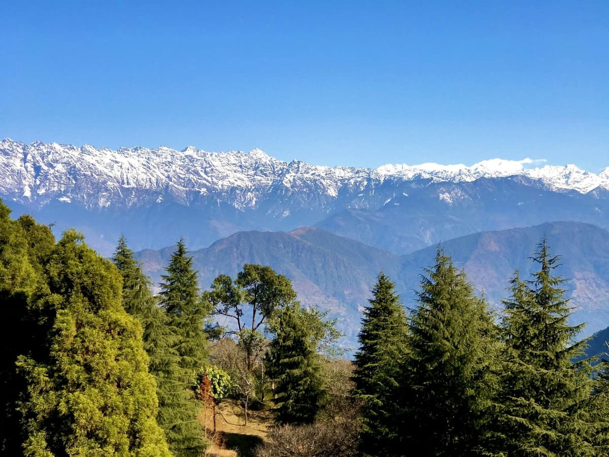
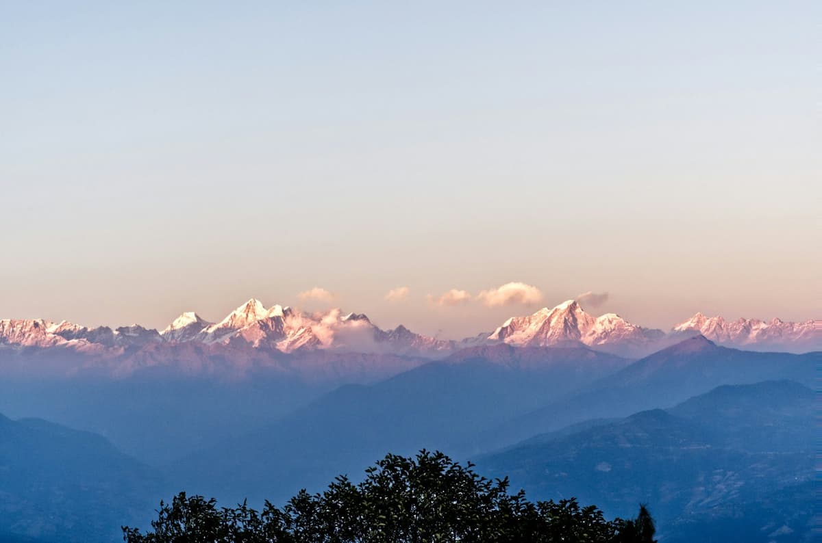
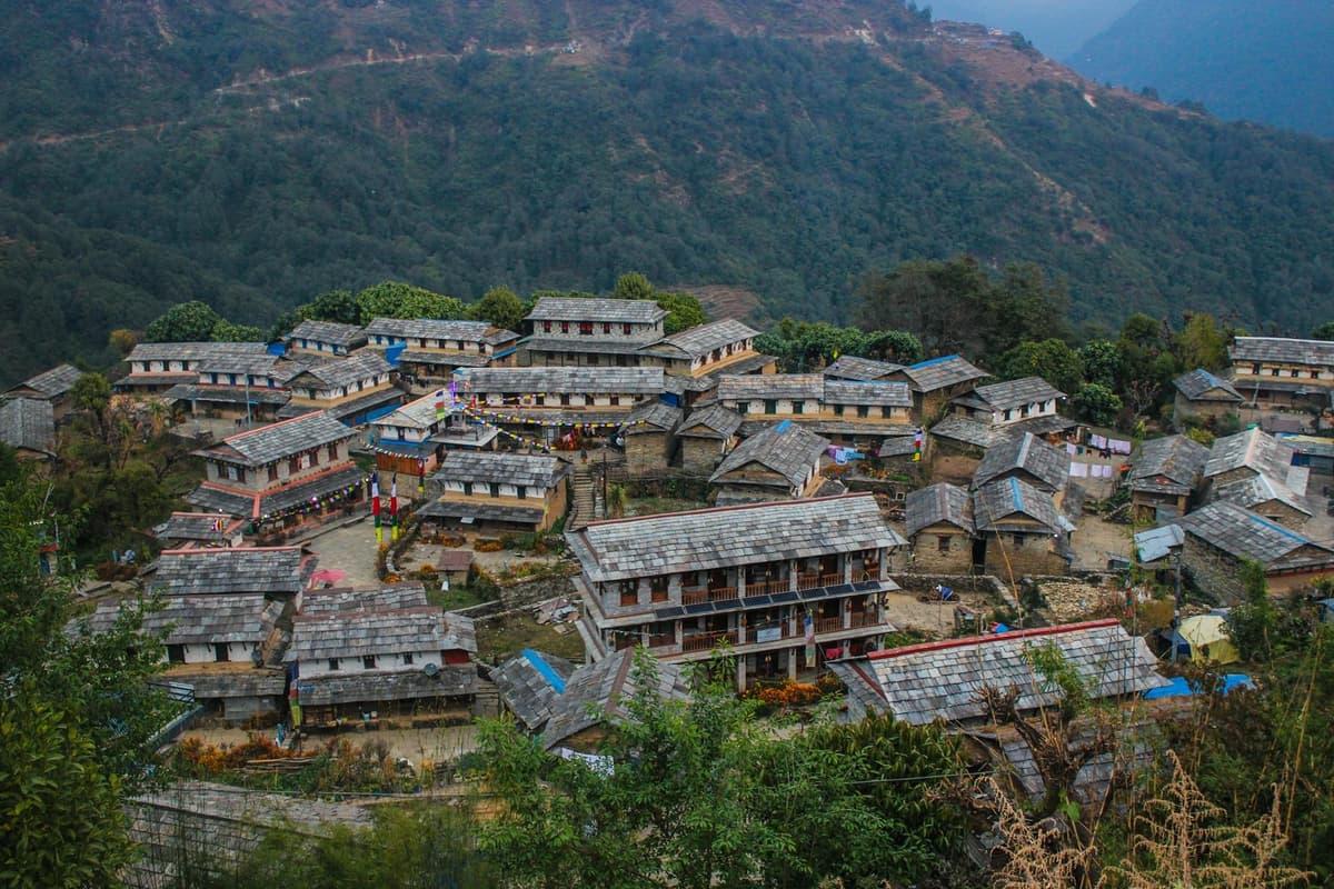
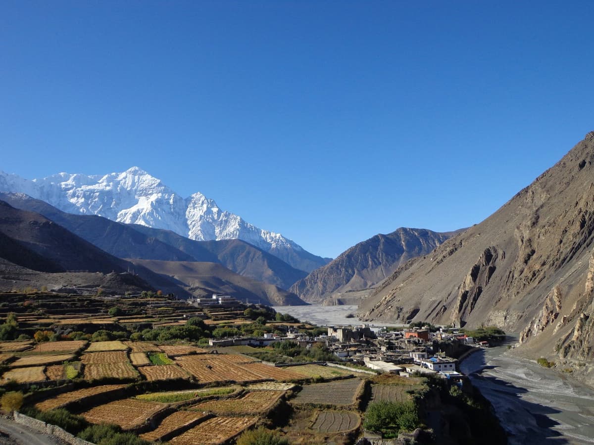
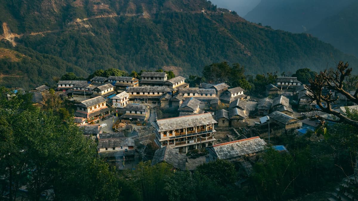
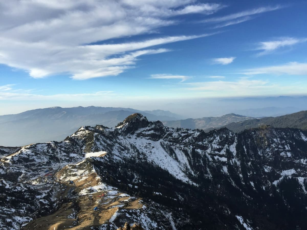
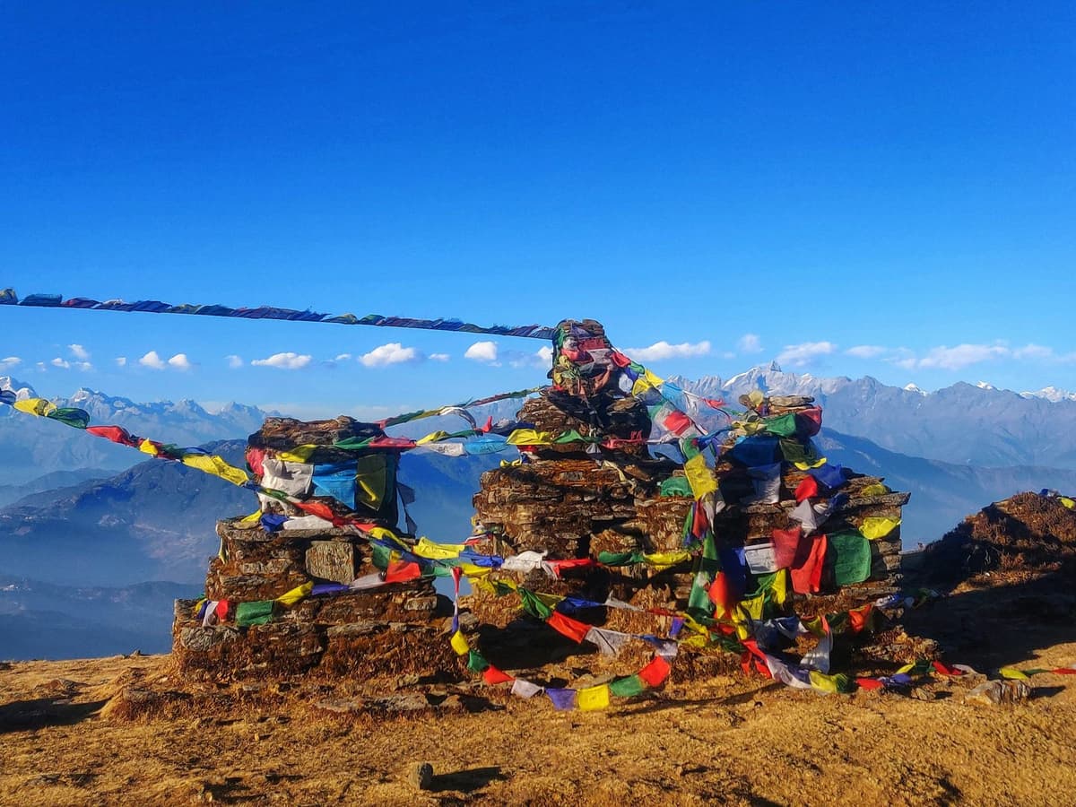
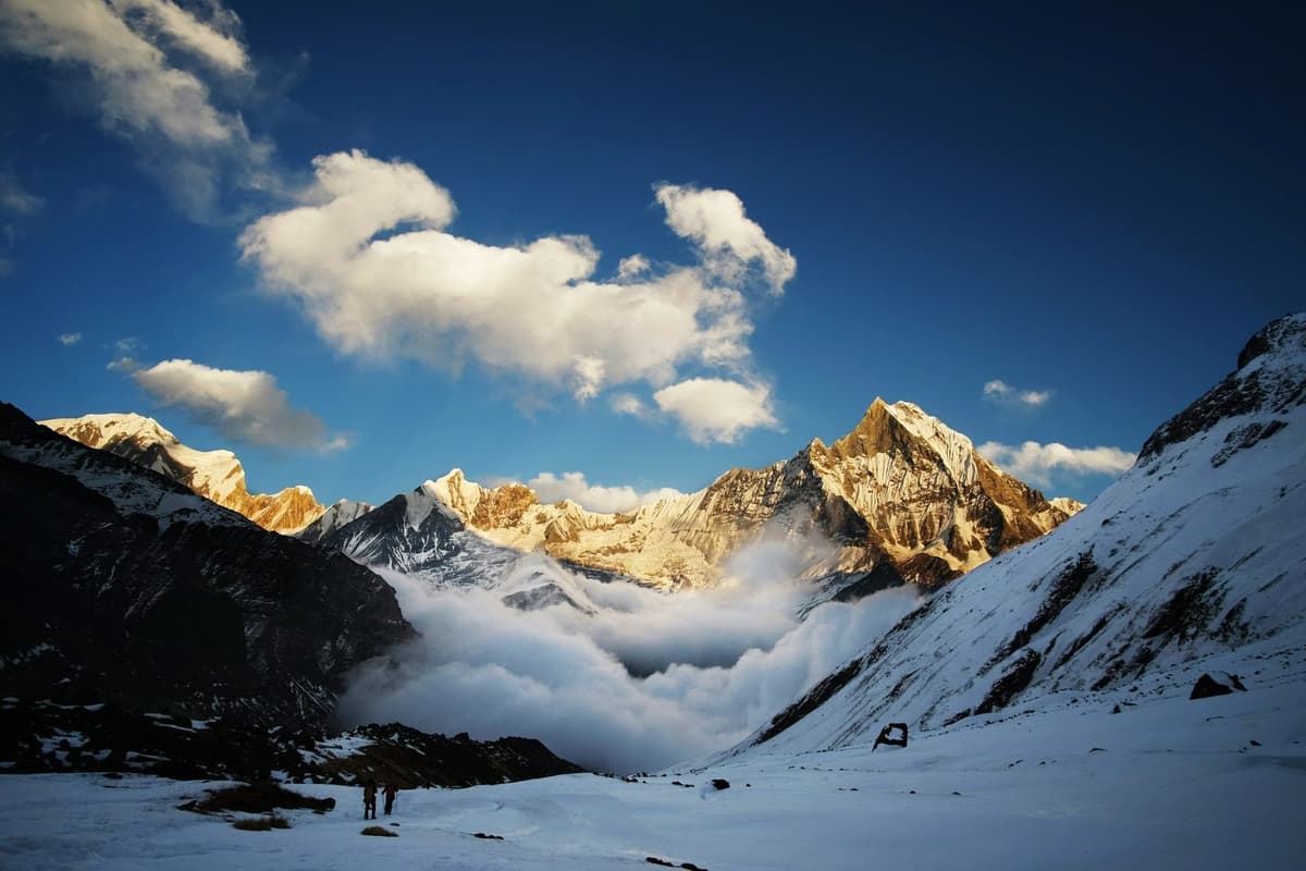
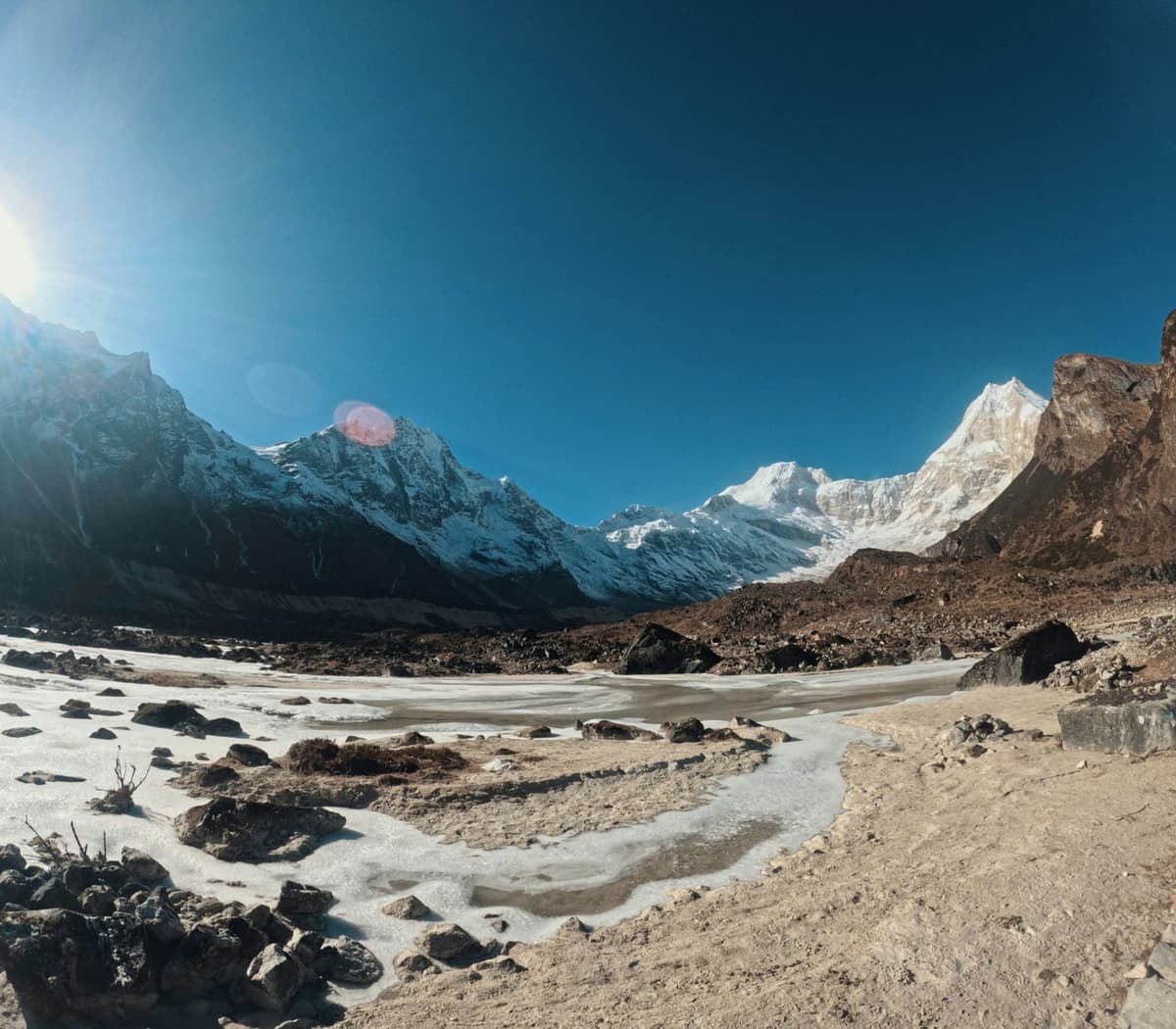
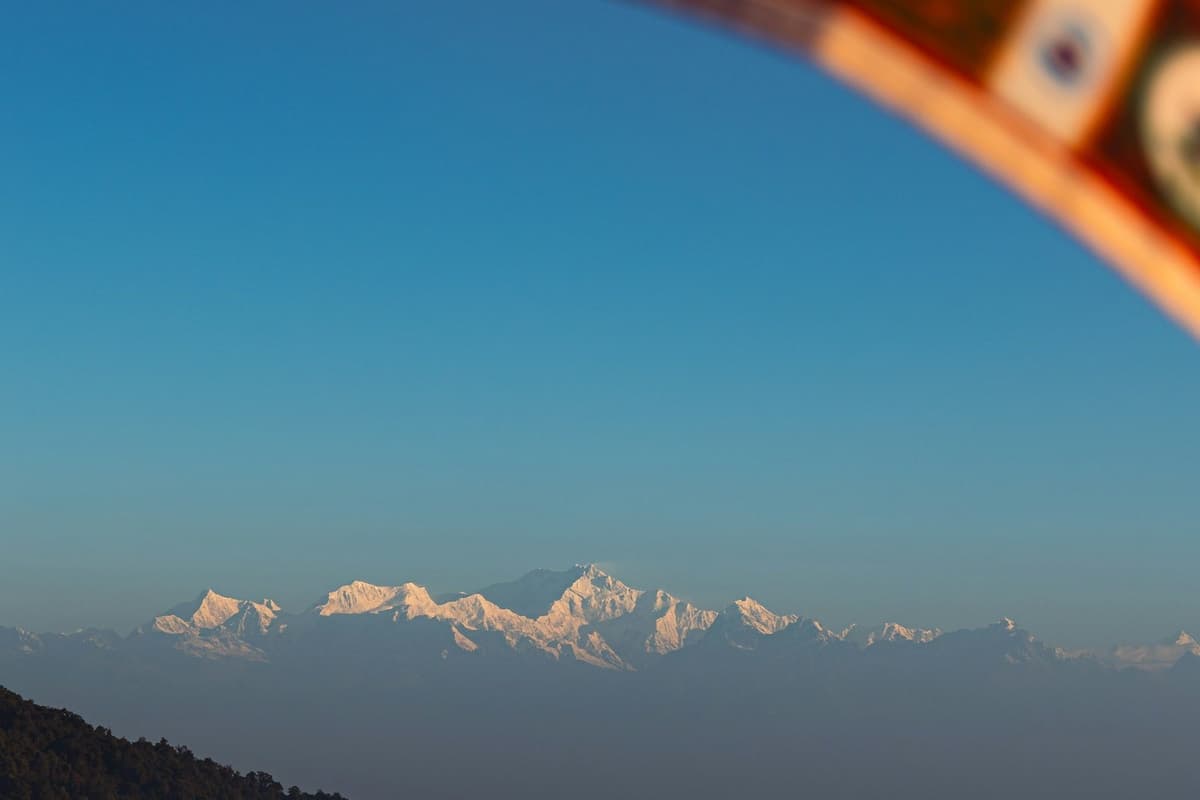
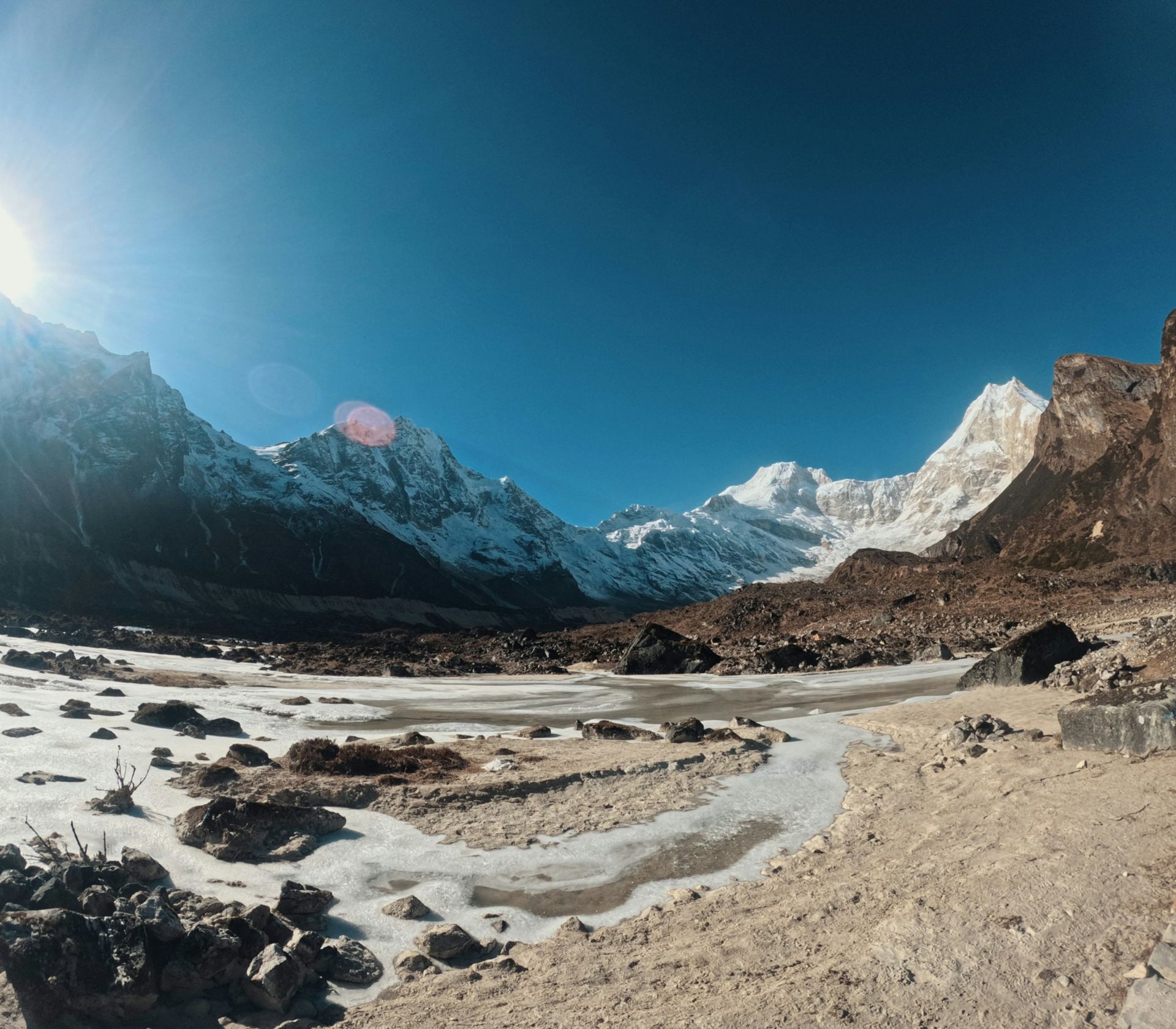
Morning in Samagaun smells of wood smoke from the teahouse kitchens, and prayer flags snap over the stone walls. Above the village the snow face of Manaslu, at 8,163 m (26,781 ft) the eighth highest peak in the world, looks close enough to touch. It is not: the path to its base camp climbs most of the morning over moraine and loose scree beside a glacier.
Manaslu Base Camp is the expedition camp at about 4,800 m (15,750 ft), reached as a day hike from Samagaun at 3,530 m on the circuit's acclimatisation day. Most operators allow six to eight hours return for about 1,270 m of climb and descent. It is non-technical but steep, with no teahouses on the way.
The hike is an optional extra on the Manaslu Circuit Trek, not part of the main route.
Key facts
- Manaslu summit
- 8,163 m, eighth highest peak in the world (DNPWC, Manaslu Conservation Area page, 11 Oct 2026)
- Manaslu Base Camp
- About 4,800 m; no official survey figure, other figures from 4,400 m to 4,900 m are published (Expedition outfitters and trekking operators (Altitude Junkies, Mountain Guides and others), 11 Oct 2026)
- Samagaun (start and finish)
- 3,530 m (NTNC MCAP information boards, Aug 2026, 11 Oct 2026)
- Height gained and lost
- About 1,270 m, same day (Trekking operators (three agree), 11 Oct 2026)
- Time, return
- Most operators allow six to eight hours; published range five to nine (Trekking operators, 11 Oct 2026)
- Distance, return
- About 12 to 14 km (Trekking operators, 11 Oct 2026)
- Facilities on the trail
- None: carry water, food and a windproof layer (NTNC MCAP boards, Aug 2026, 11 Oct 2026)
- Permits
- Manaslu Restricted Area Permit and Manaslu Conservation Area Permit; Annapurna Conservation Area Permit if you exit through Manang (NTB trekking permit and park fee pages, 27 Oct 2026)
- Guide
- Licensed guide required in the restricted area, solo permits allowed since 22 Mar 2026 (Department of Immigration decision (Kathmandu Post, Himalayan Times); NTNC MCAP board, 11 Oct 2026)
- Clearest skies
- October and November (NTB climate page, 27 Oct 2026)
- Circuit high point
- Larkya La 5,106 m; 5,160 m is also published (Wikipedia, NTNC boards, Himalayan Times, 11 Oct 2026)
What is Manaslu Base Camp?
Manaslu Base Camp is the staging camp for expeditions climbing Manaslu, not a village or a lodge stop on the trekking circuit. Tents stand there only in the climbing season. For trekkers it is a day objective from Samagaun: walk up, look at the glacier, walk back down to sleep.
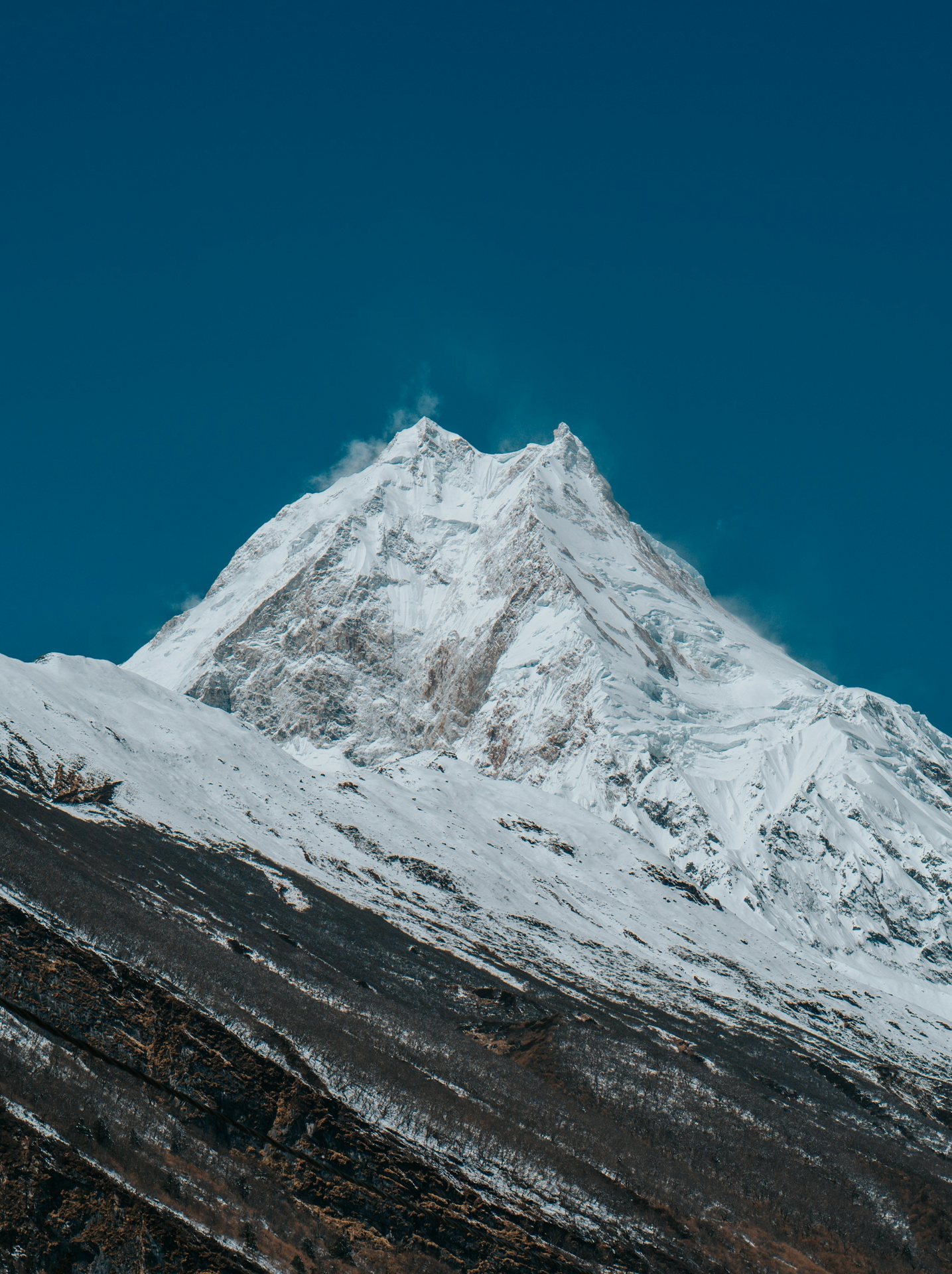
In autumn it is usually a working camp. By 8 October 2026 the Department of Tourism had issued Manaslu permits to 500 climbers in 43 teams, the most for any peak that autumn, though heavy snow closed the 2026 season early and most climbers left by helicopter. Samagaun's link with climbers is old: a Japanese expedition set up base camp at Samagaon in 1953, and on 9 May 1956 Toshio Imanishi and Gyalzen Norbu Sherpa made the first ascent.
How high is Manaslu Base Camp, and why do the figures differ?
Manaslu Base Camp sits at about 4,800 m (15,750 ft), the figure most expedition outfitters and trekking companies use. You will see anything from 4,400 m to 4,900 m quoted, sometimes on the same web page. We found no official survey figure from NTNC, DNPWC, NTB or the Department of Tourism.
A base camp is an area of moraine where teams pitch tents, not a surveyed point. If you search "Manaslu basecamp" you will meet all these numbers; treat "about 4,800 m" as a working figure.
What matters for your body is the comparison. Base camp is higher than Dharamsala (Larkya Phedi), the stop below the pass at about 4,460 m, and not far below Larkya La itself, at 5,106 m (5,160 m is also published). It is a rehearsal for the pass, with the same bed waiting at night.
Base camp, Pungyen Gompa or Birendra Tal: which side trip?
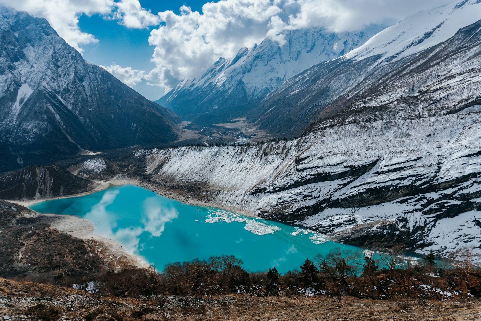
Samagaun's acclimatisation day has three common walks: Manaslu Base Camp, Pungyen Gompa and Birendra Tal. Pick the one that matches how you feel that morning.
| Side trip | Altitude | Climb from Samagaun (3,530 m) | Time, return | Who it suits |
|---|---|---|---|---|
| Birendra Tal | 3,691 m (12,110 ft) | Short: from 3,530 m to 3,691 m | 2 to 3 hours; about 2.5 km each way | Anyone tired, unwell or short of sleep; a gentle way to stay active on a rest day |
| Pungyen Gompa | 4,000 m (13,120 ft) | Almost 500 m | About 4 to 7 hours, by operator | Most fit trekkers: a real acclimatisation climb, a monastery and close views of the south face |
| Manaslu Base Camp | About 4,800 m (15,750 ft), operator figure | About 1,270 m | Six to eight hours for most operators; about 12 to 14 km | Strong, healthy walkers who slept well and feel no altitude symptoms, on a clear morning |
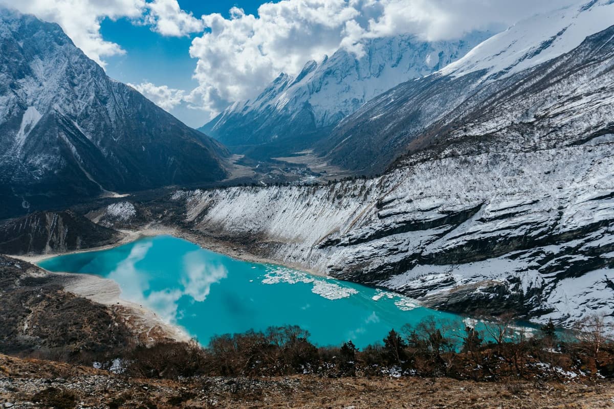
Birendra Tal is a moraine-dammed lake fed by meltwater from the Manaslu Glacier; swimming, bathing or leaving rubbish near its prayer flags "is strictly forbidden". Pungyen Gompa sits on a plateau beneath the south face of Manaslu. Neither has teahouses or shops. Base camp gives the most height and the roughest ground, and it spends energy you will need for the pass.
How to hike to Manaslu Base Camp from Samagaun
The hike to Manaslu Base Camp from Samagaun is a steep out-and-back day: most operators allow three to five hours up and two to three hours down, six to eight hours in total. Leave around 6 am, because cloud often builds on the Manaslu face by early afternoon. You sleep in Samagaun again that night.
Step by step:
- Check in at breakfast. A headache plus nausea, dizziness, poor appetite or unusual tiredness can mean altitude sickness; if so, rest or take an easy walk instead.
- Start around 6 am with the day's water and a packed lunch; there is nothing to buy above the village.
- Climb slowly and steadily. Short steps and regular sips beat fast bursts and long stops.
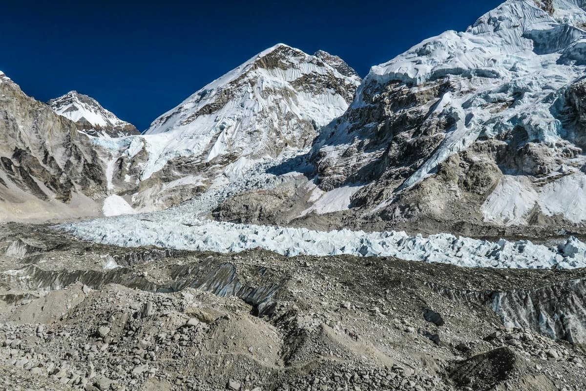
- Expect loose rock and scree near the top, beside the Manaslu Glacier. It is non-technical and needs no rope, but keep well away from the glacier's edge, where crevasses and seracs are visible.
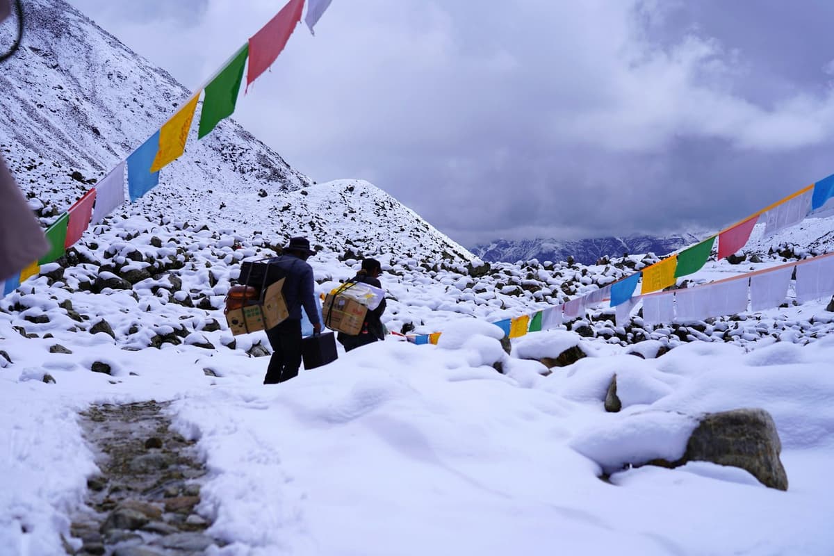
- Follow the cairns. Fresh snow can bury the trail and the cairns; if you cannot see the route, turn back.
- Keep the top short and start down before the cloud comes in.
- Descend with poles and let your guide set the pace on the scree.
- Rest, drink and eat in Samagaun, sleeping at the same altitude as the night before.
Your guide agrees a turnaround time with you before you leave, and it stands even if the top looks close.
How the side trip helps acclimatisation
The side trip helps because you climb high and then sleep low. The US Centers for Disease Control and Prevention (CDC) says "day trips to high-altitude destinations with an evening return to a lower altitude are much less stressful on the body".
The CDC's rules, step by step:
- Know where the risk starts: sleeping at 2,450 m (8,000 ft) or higher without acclimatising. Samagaun is well above that.
- Raise your sleeping height slowly: above 3,000 m, not more than 500 m a night, plus an extra night for every 1,000 m. The Samagaun rest day is that extra night.
- Walk slowly and drink water through the day.
- Avoid alcohol for the first 48 hours at high altitude.
- Know the symptoms: headache with loss of appetite, dizziness, fatigue, nausea or vomiting; confusion, poor balance or drowsiness (HACE); breathlessness at rest (HAPE).
- Never go higher with symptoms, and descend if they get worse despite rest.
- Ask a doctor before the trip about preventive medicine such as acetazolamide.
After Samagaun the circuit climbs to Samdo at 3,875 m (3,860 m in one source) and Dharamsala at about 4,460 m. Read more in our guides to altitude sickness on Nepal treks and how to avoid altitude sickness. Hot garlic soup is a comforting local tradition that helps you drink more, but it is not a proven cure.
What to pack for the day
Pack for a full day with no shop or shelter: NTNC's boards tell trekkers to carry water, food and a windproof layer. Your main bag stays in the teahouse.
- Water: enough for the whole day, plus purification tablets or a filter for refills from streams.
- Packed lunch and snacks: teahouses in Samagaun can prepare a packed lunch; ask the evening before.
- Windproof jacket and a warm mid-layer: NTB's rule of thumb is about 6 °C colder for every 1,000 m of height.
- Warm hat, gloves, sunglasses and sunscreen.
- Trekking poles for the scree on the way down.
- Headtorch, for the early start.
- Microspikes if there has been fresh snow; ask your guide the evening before.
- A small first-aid kit and your own medicines.
- A rubbish bag: carry everything back, as MCAP asks at Birendra Tal.
- Cash for the village, not the trail: Samagaun has no ATM, so bring enough rupees from Kathmandu for the whole trek.
Safety and turn-back rules
The main dangers on the Manaslu Base Camp hike are altitude, weather and the ground near the glacier, far from help.
Turn back, or do not start, when:
- You have any altitude symptoms, even a mild headache that will not go away.
- Cloud has already covered the face before you set off, or closes in on the way up.
- Snow hides the trail or the cairns.
- You reach the agreed turnaround time, wherever you are.
- Anyone in your group is struggling. You go up and come down together.
Help is a long way off. NTNC says tourism revenue in the conservation area "has not yet sufficiently reached the healthcare sector" and basic medical care is limited. Health posts on the route have basic medicines but, a 2025 Himalayan Times report found, "still lacked proper equipment and adequately trained human resources". The Himalayan Rescue Association lists no aid post in the Manaslu region. Travel insurance that covers helicopter rescue at this altitude is your own arrangement.
NTNC's board at Birendra Tal also warns:
"Because Birendra Tal is an active glacial lake, it is highly sensitive to climate changes. In recent years, nearby avalanches have triggered sudden water displacements." (NTNC, MCAP information board, Aug 2026)
Permits and guide rules for the Manaslu area
Samagaun is inside the Manaslu restricted area, so your circuit permits cover the base camp walk: the Restricted Area Permit (RAP) and the Manaslu Conservation Area Permit (MCAP), plus the Annapurna Conservation Area Permit (ACAP) if you exit through Manang.
| Permit | Fee (official) | Notes |
|---|---|---|
| Manaslu Restricted Area Permit, September to November | USD 100 per person for the first week; USD 15 per person per day after that | Covers all of wards 1 to 4 of Chumnubri Rural Municipality; Samagaun is ward 1 |
| Manaslu Restricted Area Permit, December to August | USD 75 per person for the first week; USD 10 per person per day after that | Paid in US dollars; issued by the Department of Immigration through a registered trekking agency |
| Manaslu Conservation Area Permit (MCAP) | NPR 3,000 foreign nationals; NPR 1,000 SAARC nationals; children under 10 free | Per entry. Jagat is the main entrance, with check posts at Jagat and Samagaun |
| Annapurna Conservation Area Permit (ACAP) | NPR 3,000 foreign nationals; NPR 1,000 SAARC nationals; children under 10 free | Needed when you exit through Bimthang and Dharapani |
| Local municipality fee | Set locally; we arrange it | No official fee page found, so no figure here |
NTNC charges double if you buy an MCAP or ACAP at a check post instead of in advance. Walking to base camp is part of a trek, not a climb; the mountaineering royalty on Manaslu applies to expeditions going for the summit. We arrange all of these in-country permits; your Nepal visa and international flights are your own arrangements.
The guide rule changed this year. Since 22 March 2026 the Department of Immigration issues the Manaslu restricted-area permit to a solo trekker too, but only through a registered agency and with a licensed guide (Kathmandu Post, 22 Mar 2026; Himalayan Times, 23 Mar 2026). Before that, permits went only to groups of two or more. The MCAP board at Birendra Tal puts it plainly:
"Trekkers must be accompanied by a licensed guide and hold a Manaslu Conservation Area Permit and a Manaslu Restricted Area Permit." (NTNC, MCAP information board, Aug 2026)
A licensed guide walks with you on every trek we run. For a full budget, see our Manaslu Circuit Trek cost guide.
Best season for the Manaslu Base Camp hike
The best season for the Manaslu Base Camp hike is autumn, with spring second. NTB says spring and autumn are the best times to visit Nepal, and "the clearest skies are found after the monsoon in October and November".
- Autumn (September to November): NTNC calls it "peak trekking season", with sharp visibility. The monsoon's normal withdrawal date is 2 October (DHM), but it left later every year from 2020 to 2025. Snow can come early too: on 28 October 2025 snow covered Samagaun, and trekkers crossing the Larke Pass had to stop midway.
- Spring: the other good window, by NTB's general advice.
- Winter: Birendra Tal freezes, and NTNC says the trail can be "highly slippery, ice-covered, or entirely inaccessible due to snow drifts".
- Monsoon (June to September): about 80 per cent of Nepal's rain falls in these months, and 2026 showed what floods and landslides can do to the approach.
Autumn 2026 was unusual. On 22 September the ward chair in Samagaun, Karma Chhewang Lama, told the Himalayan Times: "This had never happened before." It was, he said, "raining and snowing." Check with us close to your dates.
On the pass, your guide, who knows the route, decides when and how to cross, based on snow and the forecast.
Nubri culture: the people of Samagaun
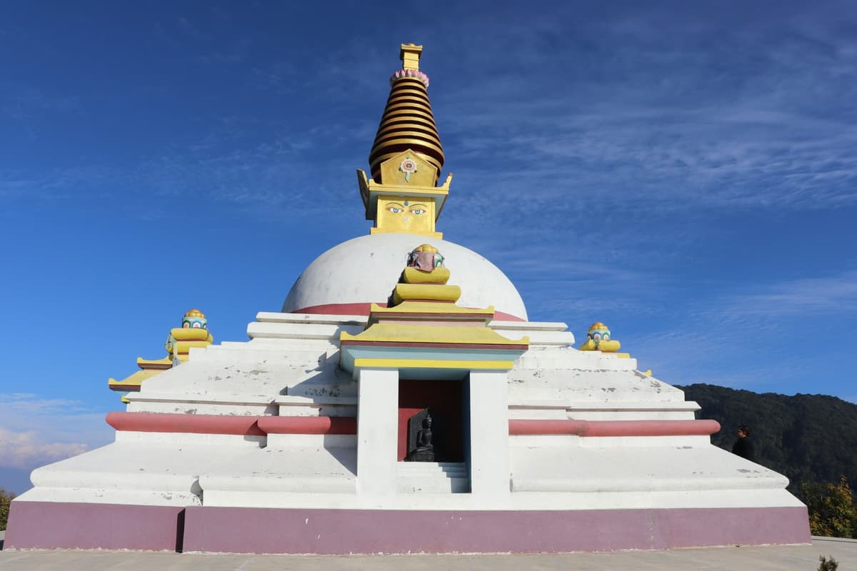
NTNC defines Nubri simply: "The northwestern part of the MCA covering Samagaun, Lho and Prok wards, is called Nubri valley." Most of the conservation area's roughly 9,000 people are of Tibetan origin and Buddhist.
Nubri people follow mainly the Nyingma tradition of Tibetan Buddhism, and Tibetan settlement here goes back to at least the 13th century, according to research published in the journal Religions in 2020.
NTNC notes:
"Lamas (religious leaders) from the monasteries prohibit any kind of violence against wildlife." (NTNC, Manaslu Conservation Area Project)
NTNC names snow leopard, musk deer and blue sheep among the area's wildlife.
Pungyen Gompa carries its own history. The MCAP board says it was built more than 400 years ago by Nubri and Tsumba settlers, and that "Pung" means ornament while "Gyen" refers to three peaks. According to local tradition recorded on the same board, an avalanche in May 1953 destroyed the original monastery and killed 18 people. Villagers blamed the early expeditions. The gompa is sacred in the Nyingma and Sakya traditions.
When you visit, follow the board's guidance:
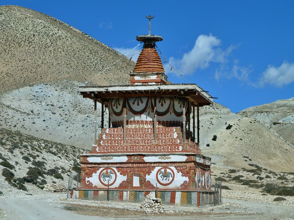
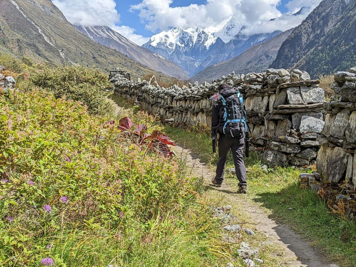
- Walk clockwise past mani walls, chortens and the main gompa.
- Take off your hat and shoes in the shrine hall.
- Ask before photographing lamas.
On 9 May 2026 the village marked 70 years since the first ascent with a ceremony and a statue of Toshio Imanishi. His son, Kunio Imanishi, told the Himalayan Times that there "was no infrastructure then", and that his father "had to walk all the way from Kathmandu."
Read next: Manaslu Circuit trek permit guide, Larke Pass guide, Mount Manaslu guide and Manaslu Circuit route guide.
Frequently asked questions
How high is Manaslu Base Camp?
Manaslu Base Camp is at about 4,800 m (15,750 ft), the figure most expedition outfitters and trekking companies use. There is no official survey figure, and you will see anything from 4,400 m to 4,900 m published. From Samagaun, at 3,530 m, that is about 1,270 m of climb, lost again the same day.
How long does it take to hike to Manaslu Base Camp from Samagaun?
Most operators allow six to eight hours return, and published times run from five to nine hours. Going up usually takes three to five hours and coming down two to three. The round trip is about 12 to 14 km. Start around 6 am, because cloud often builds on the face of Manaslu by early afternoon.
Is Manaslu Base Camp part of the Manaslu Circuit Trek?
No. Base camp is the expedition staging camp, off the main circuit route. Trekkers visit it as an optional day hike from Samagaun on the acclimatisation day, then sleep in Samagaun again. Pungyen Gompa and Birendra Tal are the easier choices for that day.
Do I need a special permit or a guide for Manaslu Base Camp? Can I go solo?
You need the same permits as the circuit: the Manaslu Restricted Area Permit and the Manaslu Conservation Area Permit, which cover Samagaun and its surroundings. Since 22 March 2026 a solo trekker can get the restricted-area permit, but only through a registered agency and with a licensed guide (Kathmandu Post; Himalayan Times).
Is altitude sickness a risk at Manaslu Base Camp?
Yes. At about 4,800 m you are far above the 2,450 m sleeping height where the CDC says altitude illness becomes a risk. Because you return to sleep at Samagaun, the day is less stressful on the body than sleeping high. Turn back with any symptom such as headache, nausea or dizziness, and descend if symptoms get worse.
When is the best time to visit Manaslu Base Camp?
October and November usually give the clearest skies, according to NTB, with spring the other good season. Snow can arrive early: on 28 October 2025 it covered Samagaun and stopped trekkers on the Larke Pass. In winter, NTNC says trails near Samagaun can be ice-covered or blocked by drifts. Check current conditions with us before you book.
Plan your Samagaun day
Manaslu Base Camp is a hard, honest day: a long climb on loose ground for a close look at the glacier. Do it if you are strong and well on the morning; if not, Pungyen Gompa or Birendra Tal still does the acclimatisation job.
The route, days and what we arrange are on our Manaslu Circuit Trek page. Still choosing a region? See the best treks in Nepal.
After this autumn's floods, start with a conversation. Message us on WhatsApp or send an enquiry with your dates and group size. We will tell you the current state of the road and trail and if the base camp side trip makes sense for you, then send a quote.