By Uncover Nepal Team. Checked by our Kathmandu travel team. Last checked 27 Oct 2026.
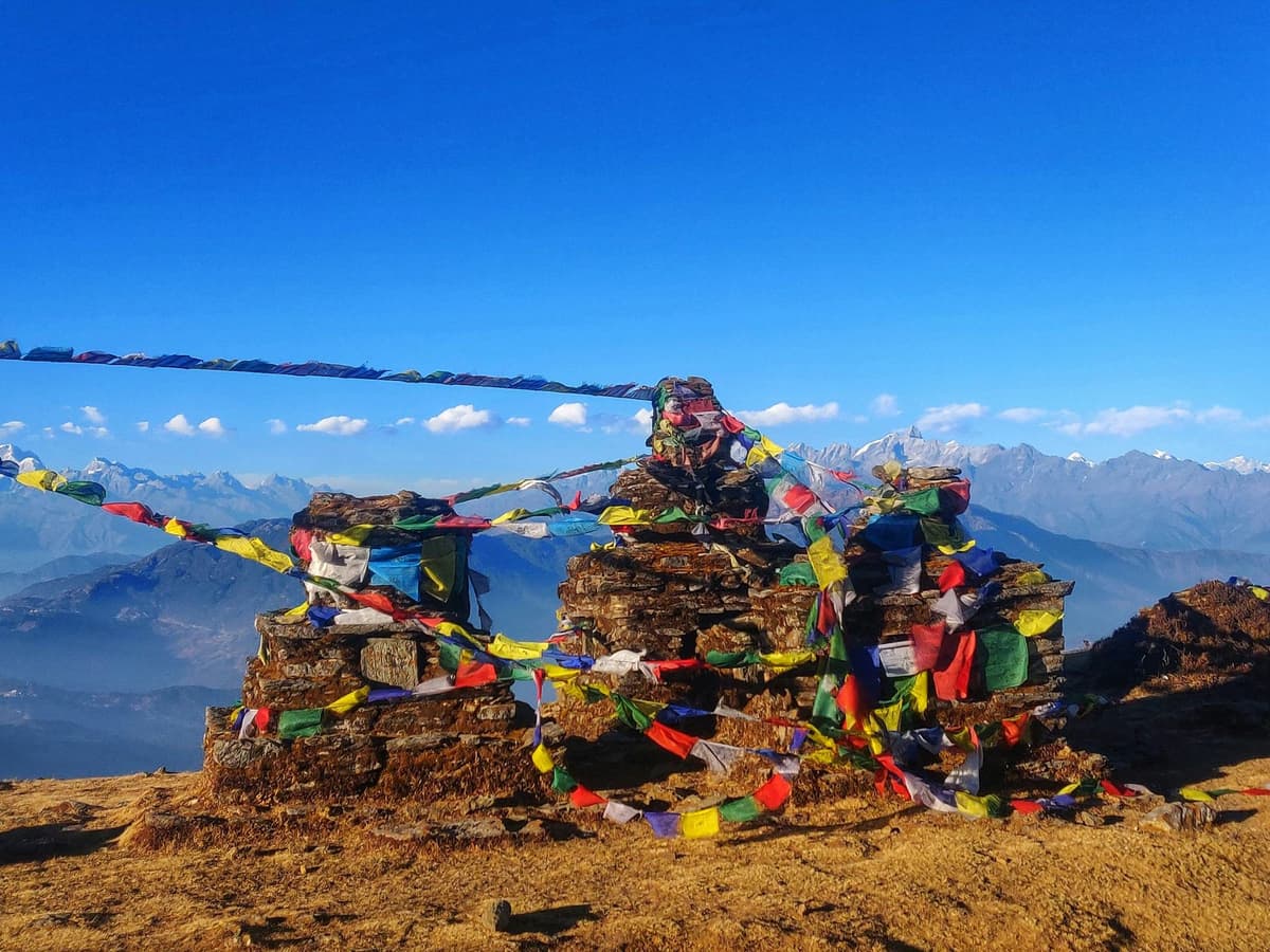
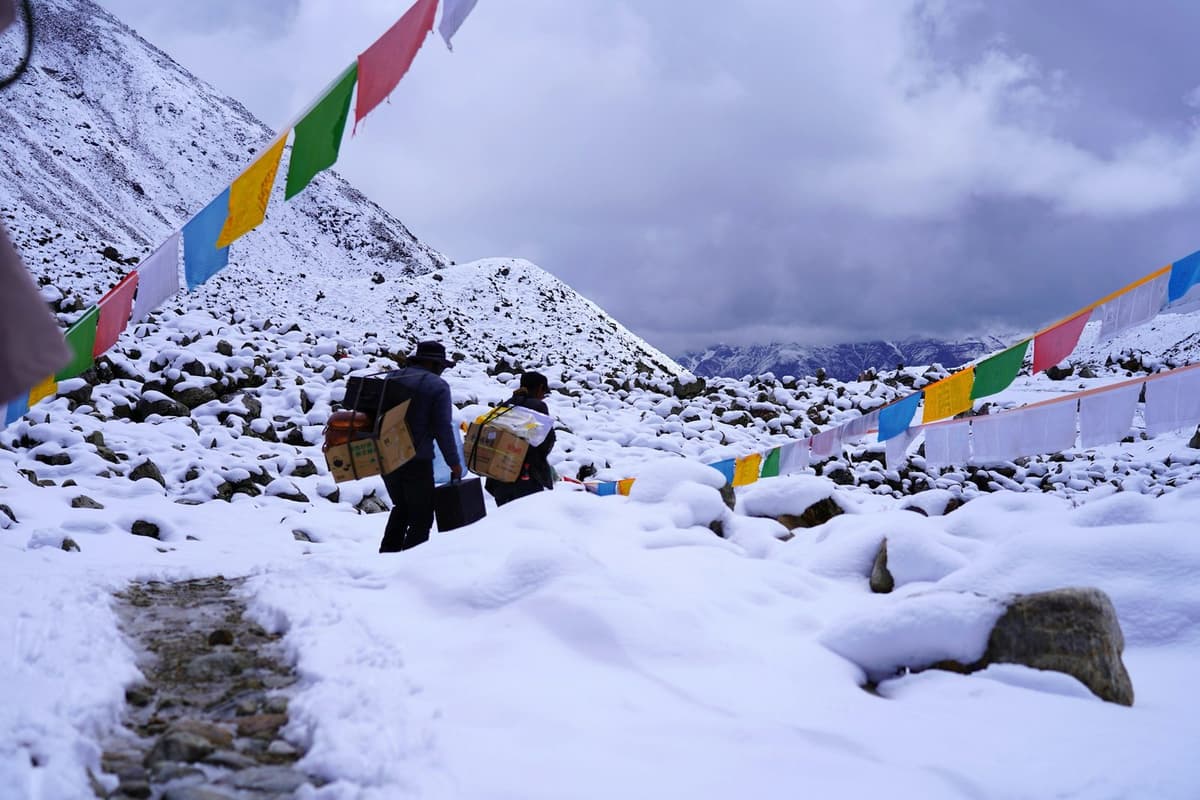
It is still dark in Dharamsala when the headtorches come on. Most groups are walking before dawn, often around 4 to 5 am, and the only sounds are boots on loose stone, the zip of a down jacket and people breathing hard in the thin air. By the time the sky turns grey you are on the moraine, and the prayer flags of the pass are still hours away.
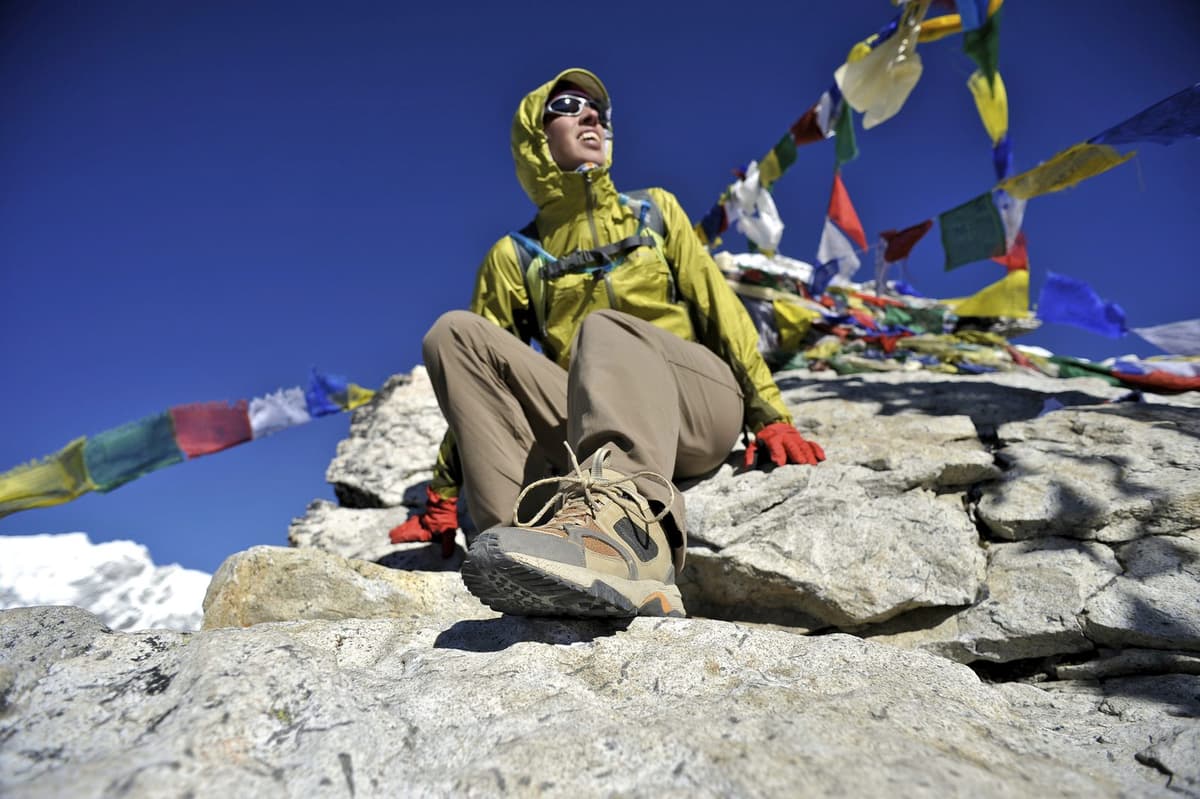
Larke Pass, also called the Larkya La, is the highest point of the Manaslu Circuit, at 5,106 m (5,160 m is also published). You cross it in one long day from Dharamsala to Bimthang, usually 8 to 11 hours, longer in snow. It is a hard walk, not a climb, and acclimatisation and weather decide how it goes.
This guide is for anyone planning the Manaslu Circuit Trek: the crossing day, how hard it is, when snow closes it, permits and altitude safety. First, this autumn's trail conditions, which matter more than usual.
Key facts
- Height
- 5,106 m (16,752 ft); 5,160 m is also published (Press reports; Wikipedia, 13 Oct 2026)
- Place on the route
- Highest point of the Manaslu Circuit (Wikipedia, 13 Oct 2026)
- Location
- Between Dharamsala (Gorkha) and Bimthang (Manang) (OnlineKhabar; Wikipedia, 13 Oct 2026)
- Crossing day
- 8 to 11 hours, longer in snow (Trekking operators, 13 Oct 2026)
- Climb and descent
- About 650 m up, about 1,400 m down (Trekking operators, 13 Oct 2026)
- Best season
- Spring and autumn; clearest skies in October and November (Nepal Tourism Board, 27 Oct 2026)
- Main permit
- Manaslu restricted-area permit, through a registered agency (NTB; Kathmandu Post, 27 Oct 2026)
- Guide
- A licensed guide is required with the restricted-area permit (Kathmandu Post; Himalayan Times, 13 Oct 2026)
Where is Larke Pass and how high is it?
Larke Pass sits on the border of northern Gorkha and Manang, between Dharamsala on the Gorkha side and Bimthang on the Manang side. Its usual published height is 5,106 m (16,752 ft), though 5,160 m is also published. It is the high point of a trek, not a mountain: Manaslu itself rises well above it.
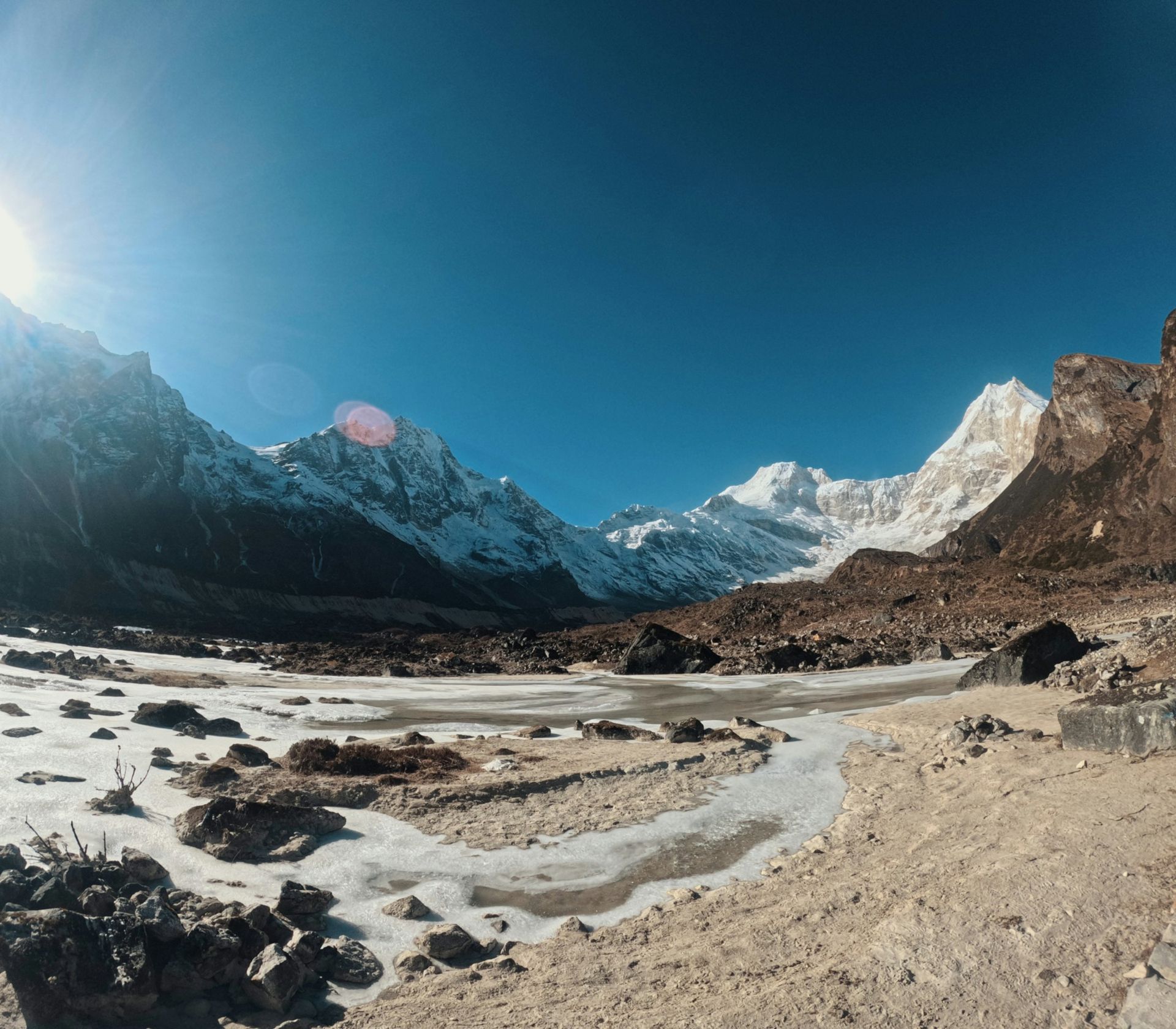
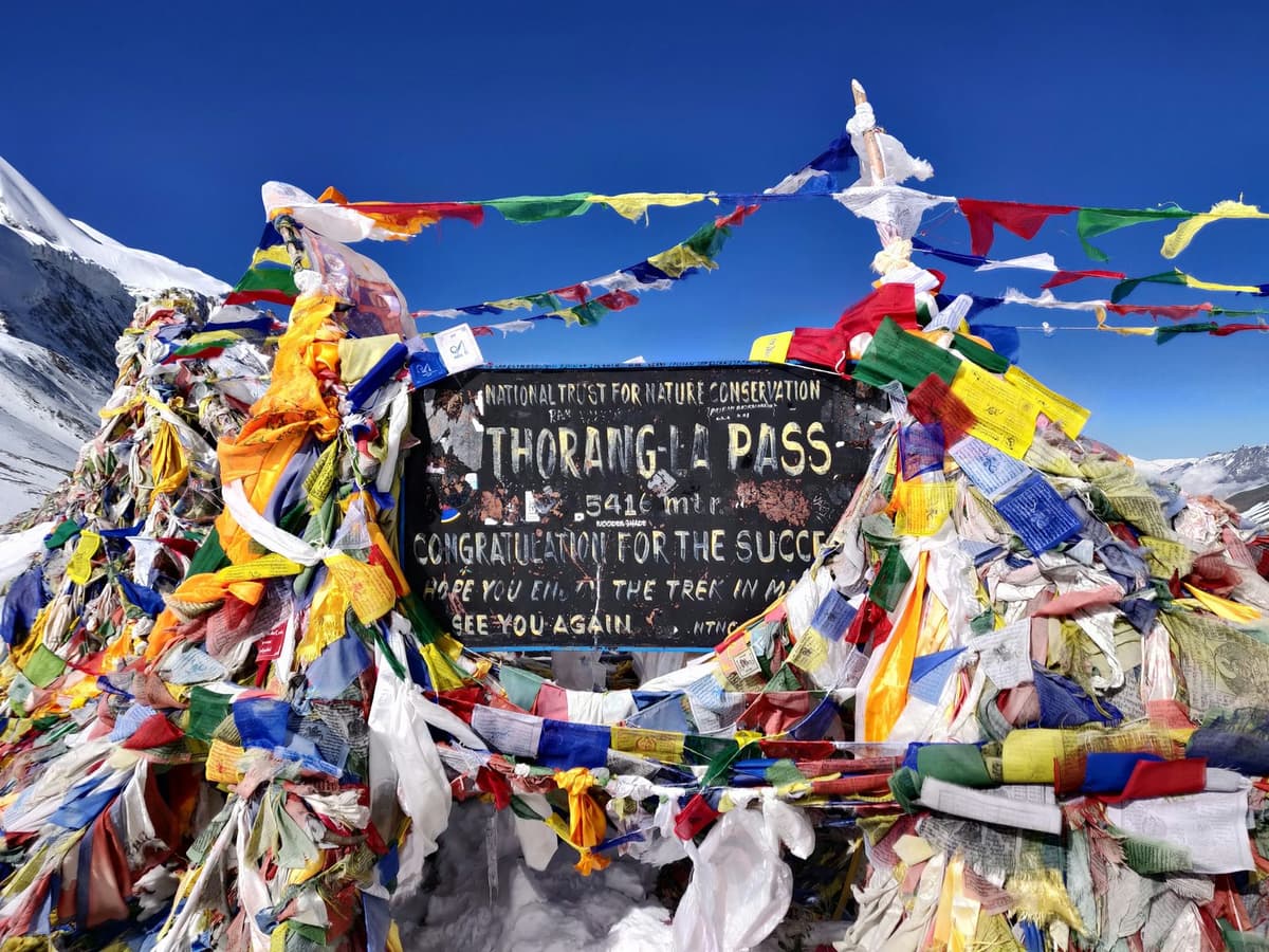
We found no survey figure for the pass from the national parks department, the conservation trust or the tourism board, so the height you see depends on who you read. Even the signs on the pass itself disagree. We use 5,106 m because it is the figure most press reports carry.
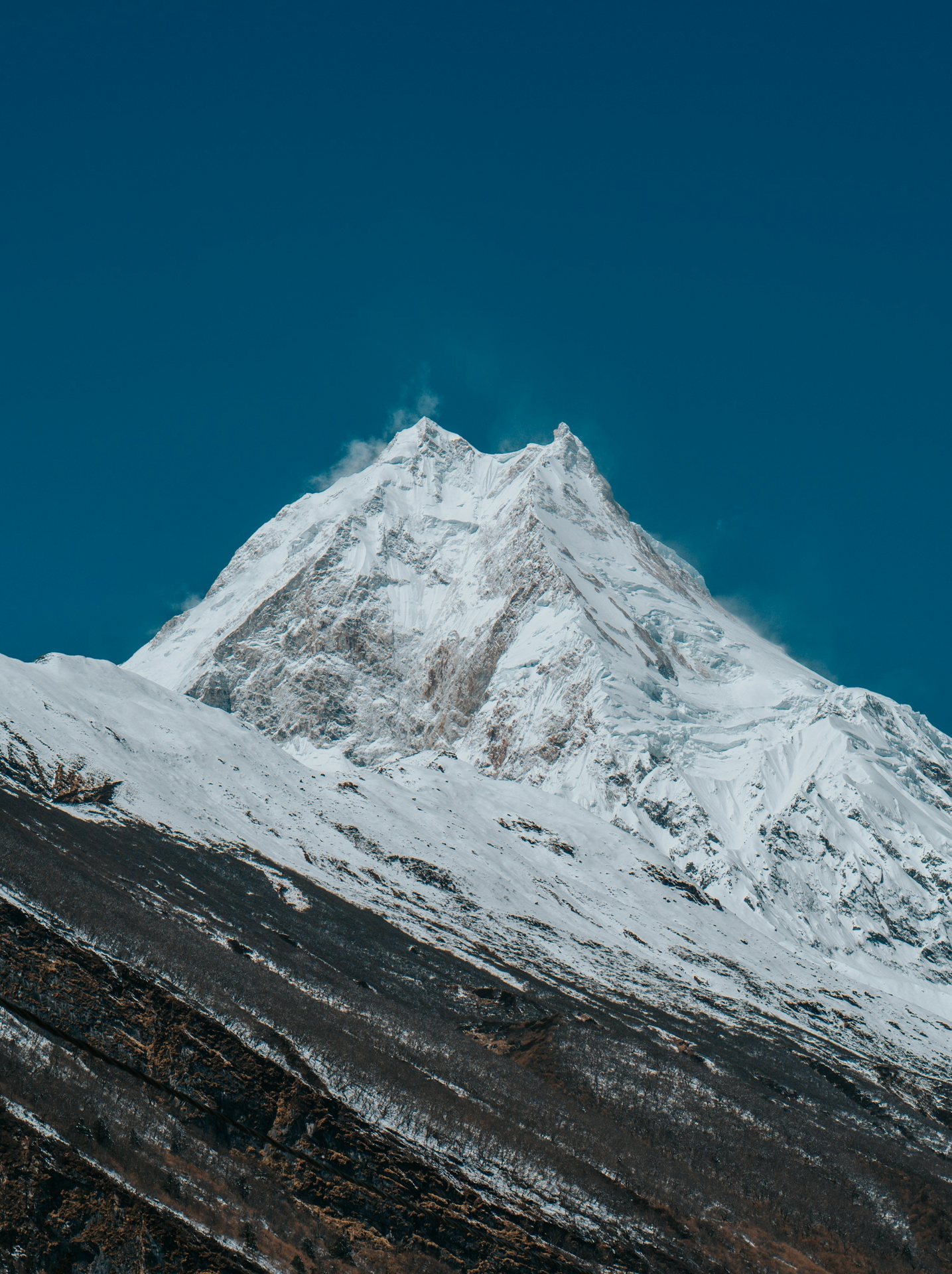
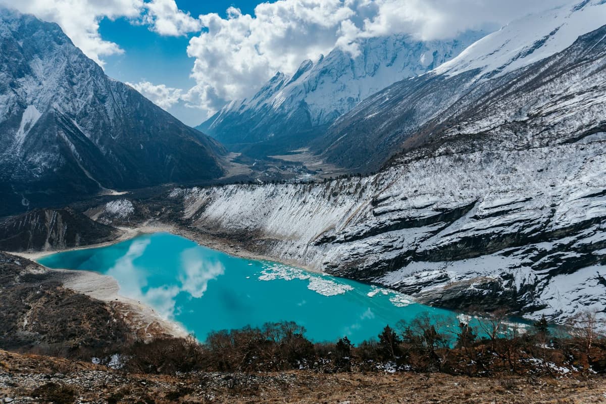
Keep the pass and the peak apart. Manaslu, the mountain that gives the circuit its name, is 8,163 m (26,781 ft) and the eighth highest in the world. The circuit loops around it for about 177 km, and Larke Pass is where you leave the Budhi Gandaki side and drop into Manang.
How do you reach Larke Pass on the Manaslu Circuit?
You reach Larke Pass by walking up the Budhi Gandaki valley through Samagaun and Samdo to Dharamsala, the last settlement before the pass. The final nights are high, so the approach is where acclimatisation is won or lost. Rush it and the crossing day becomes much harder and riskier.
Village heights differ slightly between sources, so treat these as close guides, not survey marks.
| Stop | Height | Role on the approach |
|---|---|---|
| Samagaun | 3,530 m (NTNC MCAP board) | MCAP checkpost; a common rest-day base |
| Samdo | 3,875 m (3,860 m in some sources) | Last village before the pass approach |
| Dharamsala (Larkya Phedi) | About 4,460 m | Last settlement before the pass |
| Larke Pass | 5,106 m (5,160 m is also published) | Highest point of the circuit |
| Bimthang | About 3,720 m | First night after the pass, on the Manang side |
Samagaun is also the base for the side walk to Manaslu Base Camp, which many people use as an acclimatisation day; our Manaslu Base Camp guide covers it in detail.
The step from Samdo up to Dharamsala is a little over the CDC's advice of about 500 m of extra sleeping height per night above about 3,000 m. So plan an extra night at Samagaun or Samdo, and do not skip it to save a day.
What is the Larke Pass crossing day like?
Crossing day starts before dawn at Dharamsala, climbs about 650 m to the pass in roughly 4 to 5 hours, then drops about 1,400 m to Bimthang. Operators give 8 to 11 hours in total, longer in snow. The climb tests your lungs; the descent tests your knees.
| Stage | What happens | Time or height |
|---|---|---|
| Start | Leave Dharamsala by headtorch | Before dawn, often around 4 to 5 am |
| Climb | Moraine and gentle slopes, then the long final rise to the prayer flags | About 4 to 5 hours, about 650 m up |
| Top | Photos, a snack, then on before the wind picks up | 5,106 m (5,160 m is also published) |
| Descent | Steep, loose ground, then easier moraine down to the valley | About 1,400 m down |
| Finish | Arrive at Bimthang | About 3,720 m; whole day 8 to 11 hours |
How far you walk is harder to pin down. Operators quote about 24 km, while trekkers' own GPS records come in lower. Think of the day in hours, not kilometres.
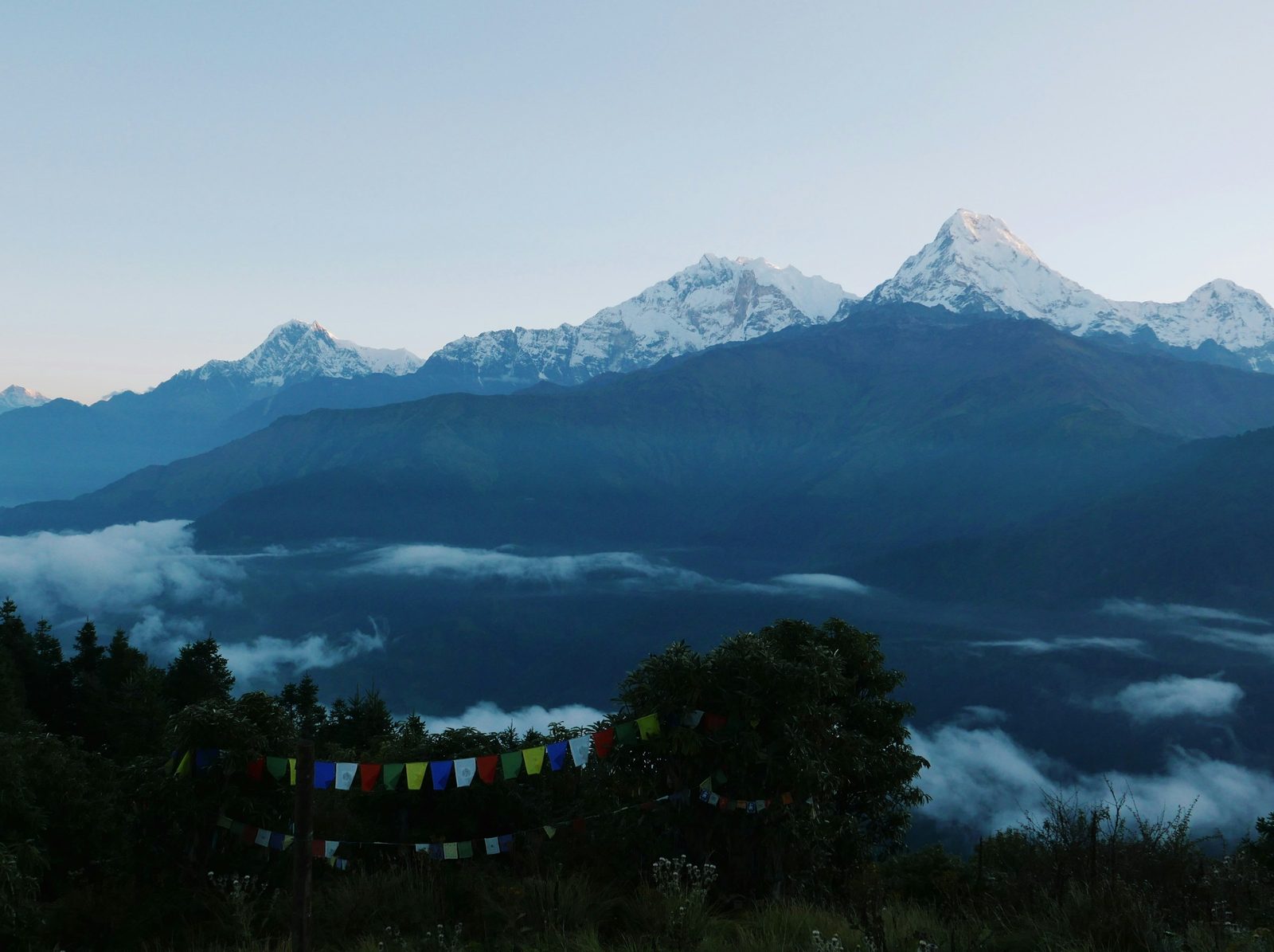
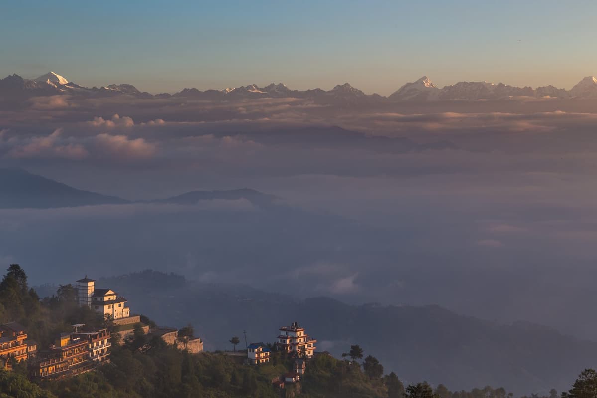
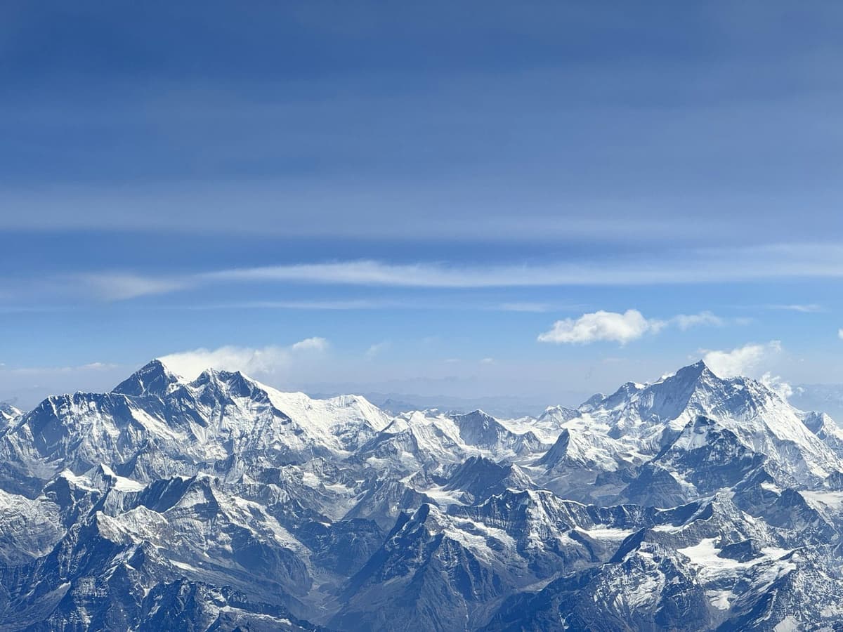
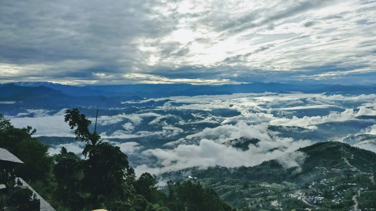
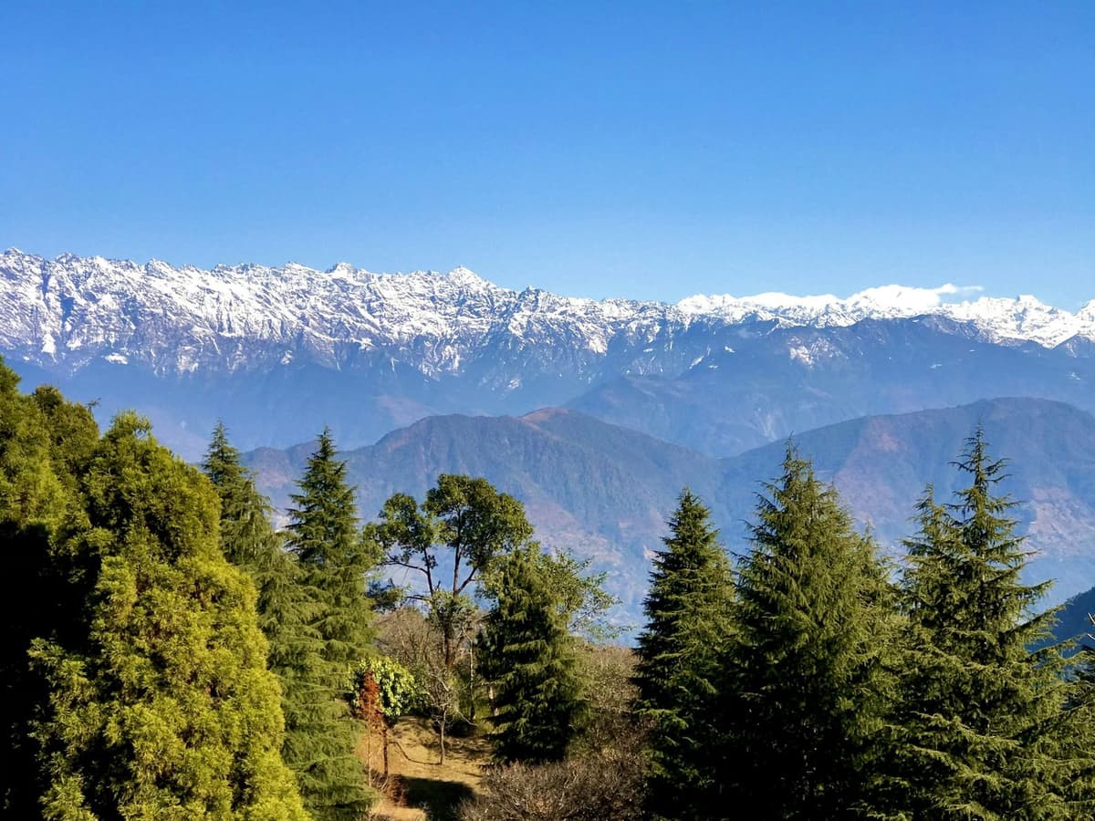
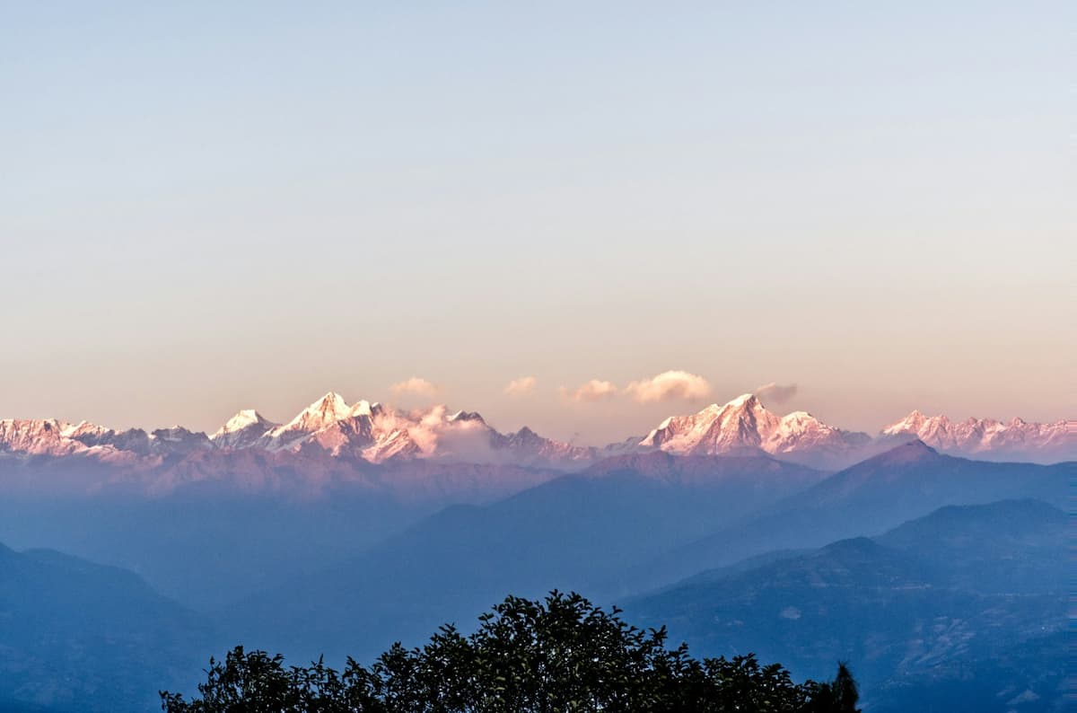
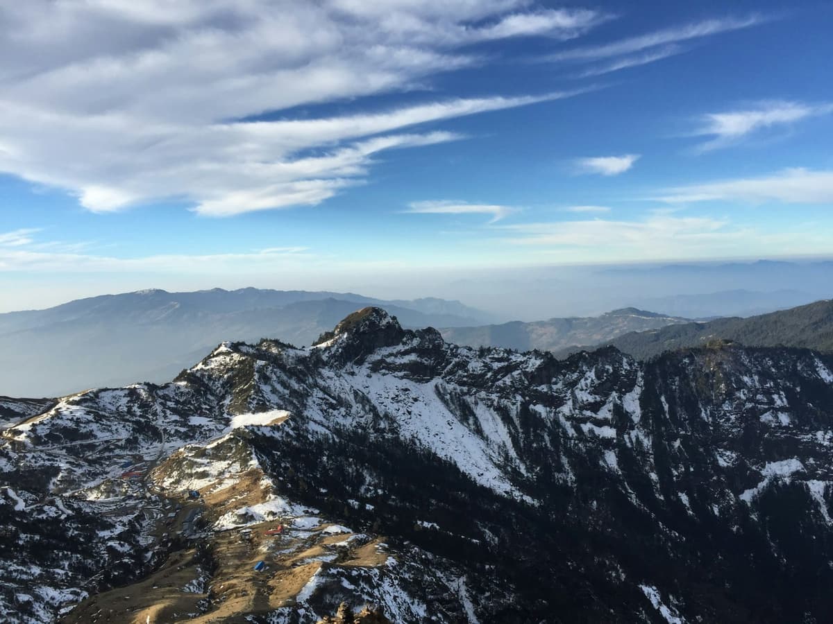
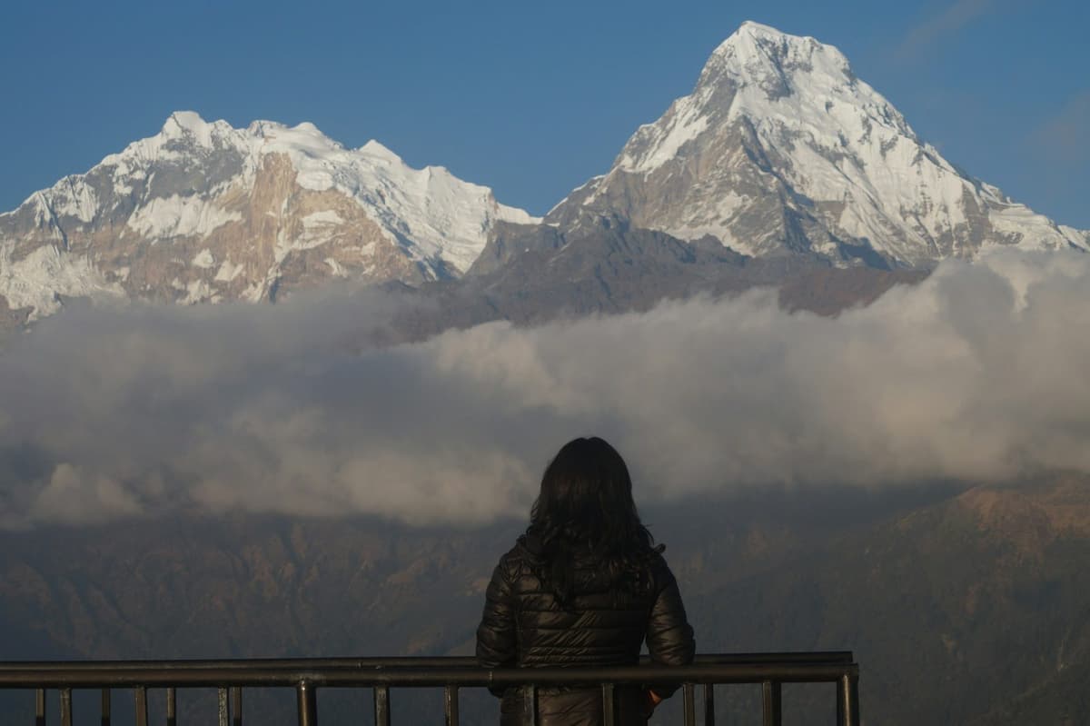
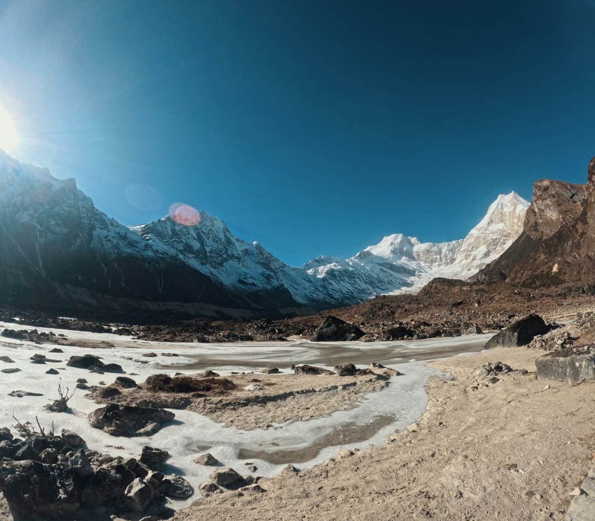
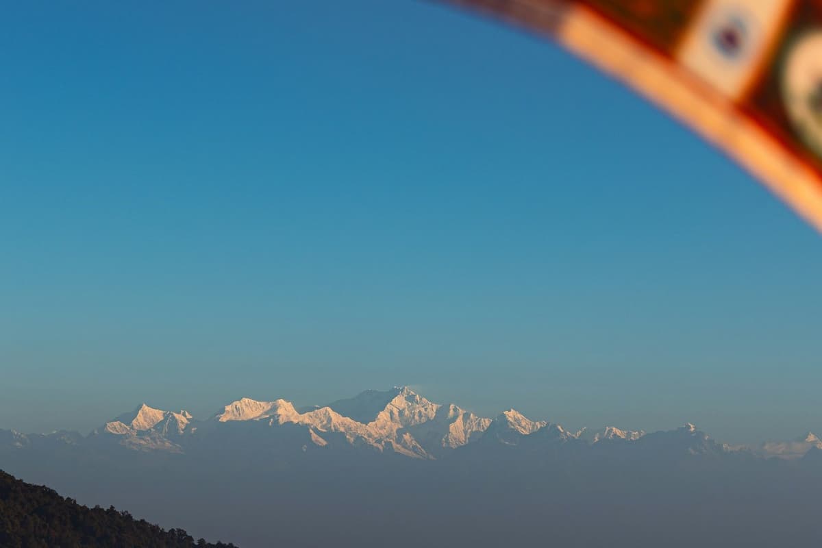
On a clear day the top looks across to Himlung Himal, Cheo Himal, Kang Guru and Annapurna II. On the way down towards Bimthang the Annapurna massif, Nemjung (also spelt Namjung), Phungi Himal and Thulagi come into view. None of this is promised. Cloud often closes in later in the day, which is part of why groups start so early.
How the day usually runs:
- The night before, your licensed guide sets the start time.
- You pack the night before, so the morning is only tea, breakfast and boots.
- You leave in the dark and walk slowly. On this climb, slow is fast.
- You stop briefly and often to drink and eat, not for long breaks in the cold.
- At the top you take photos and keep moving before the wind picks up.
- On the descent you use poles and short steps, and stay with your group.
- You reach Bimthang tired, and sleep far lower than the night before.
Your guide, who knows the route, decides when and how to cross, based on snow and the forecast. If that means waiting a day at Dharamsala or Samdo, wait.
How hard is Larke Pass?
Larke Pass is hard but not technical. You need good fitness for a long day of 8 to 11 hours at altitude, and strong knees for about 1,400 m of descent. In normal autumn conditions there is no rope work, but snow can turn it into a serious winter crossing.
Sam Cowan, writing in the Nepali Times in 2010, described the crossing as including "four or five hours at altitude on rough and exposed terrain" and wrote that "the pass is also notorious for sudden storms". That still holds. The ground near the top is open, there is little shelter, and a fine morning can change by midday.
Three things make it hard together: the height, after a night at about 4,460 m; the length of the day; and the drop of about 1,400 m to Bimthang, which many people find harder than the climb.
If you have never done a multi-day walk, or long descents hurt you, our guide to the best treks in Nepal suggests easier routes to start with.
When is the best time to cross Larke Pass?
The best time to cross Larke Pass is autumn, from October into November, with spring as the second choice. The Nepal Tourism Board says "the clearest skies are found after the monsoon in October and November". Snow can still close the pass in late September or October, so allow spare days.
The monsoon brings most of Nepal's rain. In the tourism board's words, "Eighty percent of all the rain in Nepal is received during the monsoon (June-September)". The monsoon normally runs from 13 June to 2 October, but its withdrawal came later than 2 October every year from 2020 to 2025. Early October can still be wet in the valleys.
Autumn is not a promise of clear passes. Two recent seasons show it:
- In late October 2025, heavy snow covered Samagaun and other Nubri villages, and trekkers trying to cross Larke Pass were stranded midway; police, the Armed Police Force and local rescue teams were mobilised (Himalayan Times; Khabarhub; Radio Nepal, 28 Oct 2025). More than 100 foreign tourists waited in Samdo, travel to the upper areas was banned, and the snow was more than 1 m deep.
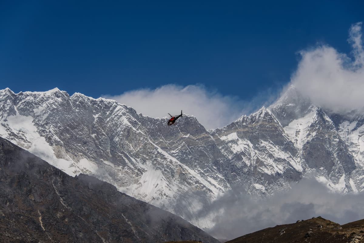
- Dozens were flown out by helicopter, and on 2 November 2025 the Trekking Agencies' Association of Nepal said the route, including the pass, had reopened.
- In 2026 the snow came even earlier, closing the pass from 24 September until the start of October.
So autumn snow can shut the pass in September as well as October. In early October 2022, during a spell of heavy rain and snow, the pass was reported closed and a local guide died in an avalanche there (Explorersweb, 9 Oct 2022).
Winter is harder still. The conservation project's own board at Samagaun warns that winter trails can be "highly slippery, ice-covered, or entirely inaccessible due to snow drifts". There are no official closure months for the pass, so each winter departure has to be judged on its own conditions.
The lower valley has had a hard autumn too. Flash floods at Namrung on 6 September 2026 swept away two bridges, and the Gorkha District Administration Office suspended travel on the route "until further notice"; temporary crossings reopened the trail by 9 September. A landslide above Samagaun on 27 September caused no casualties. Then came the 11 October flood.
How do you avoid altitude sickness on the Larkya La?
Go up slowly, sleep no more than about 500 m higher each night above about 3,000 m, and add an extra night for every 1,000 m of sleeping height you gain (CDC). Never go higher with symptoms, and descend if they get worse. On the Larkya La, the nights at Samdo and Dharamsala matter most.
The US Centers for Disease Control and Prevention (CDC) says any traveller who has not acclimatised and sleeps at about 2,450 m or higher is at risk, "and sometimes lower". Every night from Samagaun onwards is well above that.
What helps, in practice:
- Go slow. Keep to the CDC's ascent rate above about 3,000 m and take the extra night.
- Walk slowly on the climb, at a pace where you can still talk.
- Drink plenty of water through the day, including on the crossing.
- Skip alcohol for the first 48 hours at altitude, as the CDC advises.
- Know the symptoms. Altitude sickness usually means a headache plus loss of appetite, dizziness, tiredness, nausea or vomiting.
- Never go higher to sleep with symptoms.
- Descend if symptoms get worse while resting at the same height. In the CDC's words, "Descend if the symptoms become worse while resting at the same elevation."
- Ask a doctor before your trip about preventive medicine such as acetazolamide. Your doctor decides if it suits you and how to take it.
Confusion, stumbling or unusual drowsiness can mean high-altitude cerebral oedema, and breathlessness at rest can mean high-altitude pulmonary oedema, which the CDC says "can be more rapidly fatal" than the cerebral form. Both are emergencies.
In the teahouses you will be offered hot garlic soup. It is a comforting local tradition and pleasant at the end of a cold day, but it is not a proven cure, and it never replaces going down.
For more depth, read our guides on altitude sickness on Nepal treks and how to avoid altitude sickness.
What happens if something goes wrong on Larke Pass?
If someone shows severe symptoms, they should descend at once, never alone. Medical help on this route is thin, so insurance that covers helicopter rescue at this height is essential, and it is your own arrangement.
The Himalayan Rescue Association has no aid post on the Manaslu Circuit; the nearest it lists is Manang, beyond the pass. The conservation trust that runs the area says that, for people living there, "access to basic medical services remains limited". So turning round early matters.
The pass has seen deaths. In April 2025 a British trekker collapsed and died on Larke Pass, more than three hours' walk above Dharamsala (OnlineKhabar, 7 Apr 2025). No official count of rescues or deaths on the pass is published, so we do not quote a yearly figure.
Under the 2026 rules, the registered agency that applies for your permit carries responsibility for emergency rescue (Himalayan Times, 23 Mar 2026).
What permits do you need to cross Larke Pass?
You need the Manaslu restricted-area permit, the Manaslu Conservation Area permit (MCAP) and, because the route exits into Manang, the Annapurna Conservation Area permit (ACAP). A local municipality fee also applies. The restricted-area permit is issued only through a registered agency, with a licensed guide.
The official fees are:
| Permit | Fee | Source |
|---|---|---|
| Manaslu restricted-area permit, September to November | USD 100 per person per week, then USD 15 per person per day | NTB, reproducing the Department of Immigration schedule |
| Manaslu restricted-area permit, December to August | USD 75 per person per week, then USD 10 per person per day | NTB, reproducing the Department of Immigration schedule |
| MCAP entry | NPR 3,000 foreign nationals; NPR 1,000 SAARC nationals; per entry; children under 10 free | NTB; NTNC e-permit |
| ACAP entry | NPR 3,000 foreign nationals; NPR 1,000 SAARC nationals; per entry; children under 10 free | NTB; NTNC e-permit |
| Chum Nubri Rural Municipality fee | Applies; we arrange it | Himal Press, 2024 |
The conservation trust charges double for permits issued at checkposts, so arrange them in advance. MCAP has tourist checkposts at Jagat, the main entrance, and at Samagaun.
Can you go solo? Yes, with conditions. Since 22 March 2026, a solo trekker can get the restricted-area permit for the Manaslu and Tsum Valley regions through a registered agency, with a licensed guide (Kathmandu Post; Himalayan Times). Before that, the permit went only to groups of two or more. A licensed guide walks with you on every trek we run.
We arrange all of these in-country permits for you. Your Nepal visa and your international flights are your own arrangements. For what the permits add to a trip, see our breakdown of Manaslu Circuit Trek cost.
What should you pack for Larke Pass?
Pack for a long, cold, pre-dawn start and an afternoon that may be sunny or stormy. Warm layers, a reliable headtorch, sun protection and trekking poles matter most. Check your kit again at Samdo, while there is still time to fix gaps.
For crossing day itself:
- Headtorch with spare batteries, kept warm inside your jacket.
- Layers: base layer, fleece, down jacket and a waterproof shell.
- Warm hat, buff, and thin and insulated gloves.
- Sunglasses and sun cream for the glare off snow.
- Trekking poles for the descent to Bimthang.
- Insulated water bottles, so they do not freeze before sunrise.
- Snacks you will eat when cold and not hungry.
- Gaiters and microspikes if your guide advises them.
- A small first-aid kit and any medicine your doctor has prescribed.
Larke Pass FAQ
How high is Larke Pass?
Larke Pass, or the Larkya La, is usually given as 5,106 m (16,752 ft), though 5,160 m is also published. We found no government survey figure, and even the signs on the pass disagree. Whichever figure you use, it is the highest point of the Manaslu Circuit, well below Manaslu itself.
How hard is the Larke Pass trek?
It is hard but not technical. Crossing day takes 8 to 11 hours, longer in snow, with about 650 m of climbing and about 1,400 m of descent. You need good fitness and acclimatisation. In normal autumn conditions there is no rope work, but snow can make it a serious winter crossing.
How long does it take to cross Larke Pass?
Most groups take 8 to 11 hours from Dharamsala to Bimthang, and longer in snow. The climb to the top is usually about 4 to 5 hours, starting before dawn. The rest of the day is the long descent. Plan it as a full day and keep the next day easy.
When is Larke Pass closed by snow?
There are no official closure months, but heavy snow can shut it at short notice. In 2026 it closed from 24 September until the start of October; in 2025 snow stranded trekkers in late October. Winter trails can be ice-covered or impassable. Spare days are your best protection.
Can I cross Larke Pass solo or without a guide?
You can trek as a solo traveller, but not without a licensed guide. Since 22 March 2026, a solo trekker can get the Manaslu restricted-area permit through a registered agency, with a licensed guide (Kathmandu Post; Himalayan Times). Before that, permits went only to groups of two or more.
What permits do I need for Larke Pass?
You need the Manaslu restricted-area permit, the Manaslu Conservation Area permit (MCAP) and the Annapurna Conservation Area permit (ACAP), plus a local municipality fee. The restricted-area permit is issued only through a registered agency. We arrange all of them before you reach the trailhead.
Planning your Larke Pass crossing
Larke Pass is the day most people remember from the Manaslu Circuit. Done slowly, in the right weather and with a licensed guide, it is hard but achievable.
For the full route, the day-by-day plan and what is included, see our Manaslu Circuit Trek. Then send us your preferred dates and group size on WhatsApp or through the enquiry form. We will tell you how conditions look and whether the timing suits the pass.