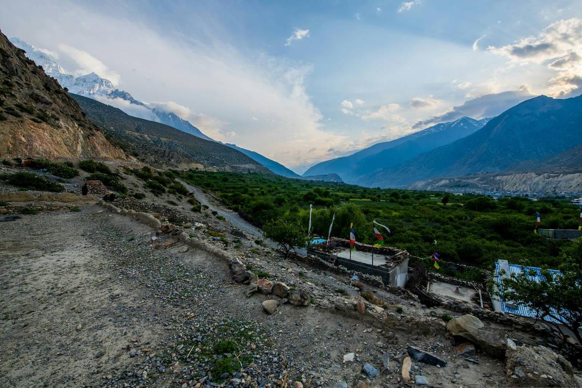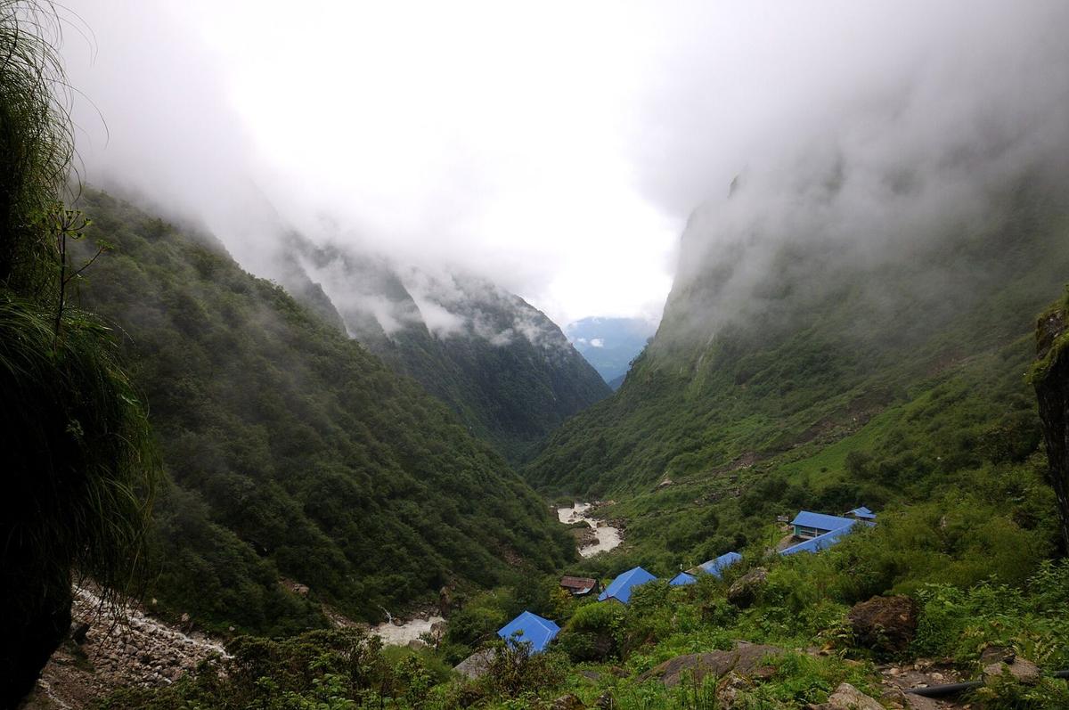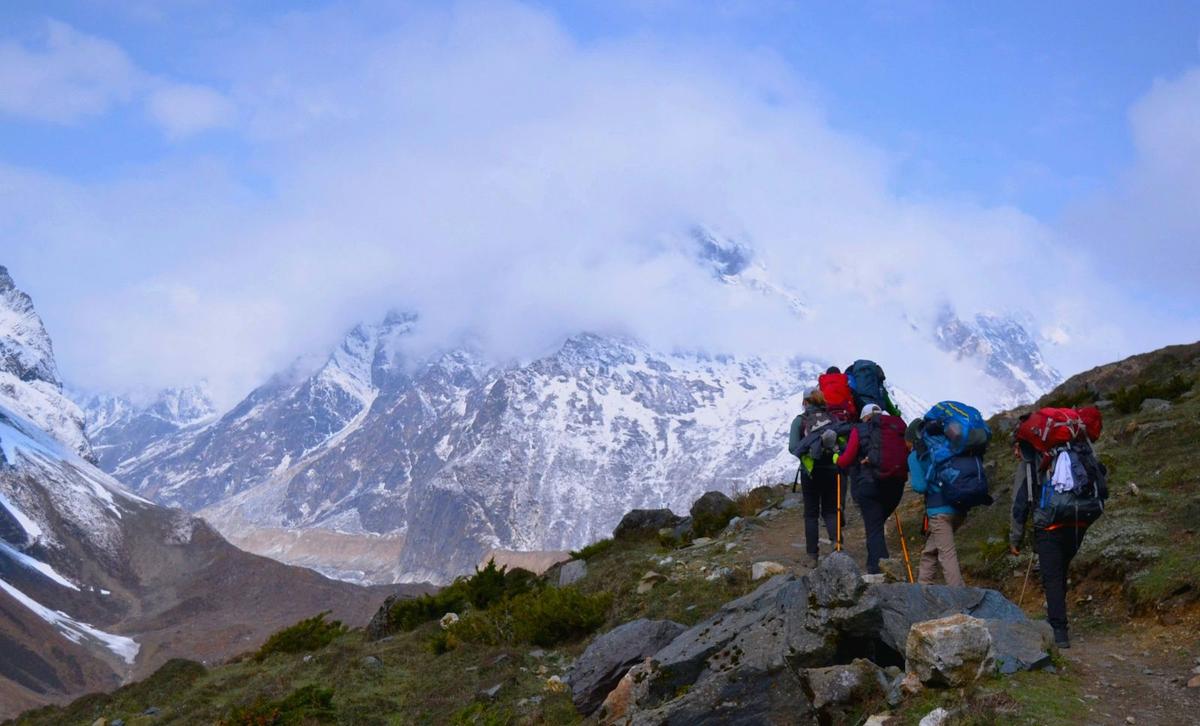
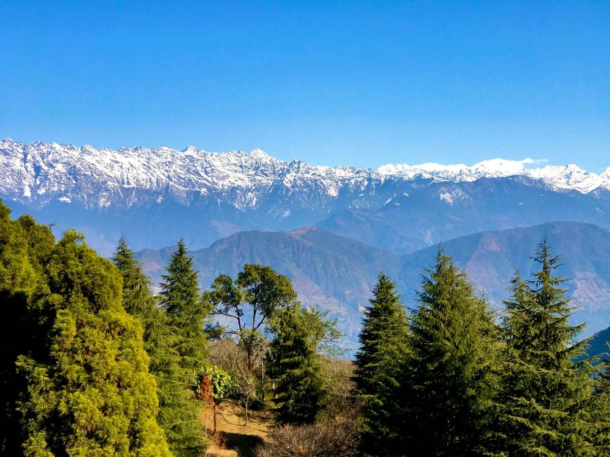
Before first light, buses and jeeps pull out of Kathmandu with rucksacks roped to their roofs, bound for Sundarijal, Arughat, Besisahar and Jiri. Nobody on board is watching the cloud over a mountain runway. On these routes the trek starts where the road ends.
The best treks from Kathmandu without a flight start where a bus or jeep can drop you: the valley rim from Sundarijal, Helambu, the Manaslu Circuit, the old Everest walk-in from Jiri or Salleri, and the Annapurna treks via Besisahar or Pokhara. Langtang is the closest big-mountain trek, but we do not currently recommend it. For the wider picture, start with our guide to the best treks in Nepal.
Updated 17 Nov 2026
In this guide
- Why choose treks from Kathmandu without a flight?
- Which treks start by road, compared
- Valley rim, Helambu and Langtang
- Manaslu, the Everest walk-in and Annapurna
- Getting to the road-heads
- Winter, altitude and guides
- Frequently asked questions
Key facts
- Shivapuri Nagarjun National Park
- NPR 1,000 foreigners, NPR 600 SAARC, NPR 100 Nepali, per person per entry; under 10 free. Foreign and SAARC visitors must be accompanied by a park-certified guide (NTB park entry fees; park office fee page, checked 18 Nov 2026)
- Langtang National Park (Helambu)
- NPR 3,000 foreigners, NPR 1,500 SAARC, NPR 100 Nepali (NTB park entry fees, checked 18 Nov 2026)
- Annapurna and Manaslu Conservation Areas
- NPR 3,000 foreigners, NPR 1,000 SAARC, NPR 100 Nepali each; double if issued at a check-post (NTB; NTNC e-permit portal, checked 18 Nov 2026)
- Manaslu restricted-area permit
- USD 100 per person per week plus USD 15 a day beyond a week (September to November); USD 75 plus USD 10 (December to August) (NTB copy of the Department of Immigration schedule, checked 18 Nov 2026)
- Langtang, Gosaikunda, Tamang Heritage
- Currently not recommended by us; the road link to Rasuwa reopened on 11 October 2026 (Our trip notice; The Kathmandu Post, checked 18 Nov 2026)
- Lukla flights, busiest months
- Leave from Manthali airport in Ramechhap, about 4 to 5 hours' drive from Kathmandu; weather-dependent (Our Everest access guide (OnlineKhabar; operators), checked 18 Nov 2026)
- Pokhara to Jomsom flights
- Regular flights suspended in October 2026; no restart found (ekantipur, 17 and 19 Oct 2026, checked 18 Nov 2026)
- Altitude risk line
- Sleeping at about 2,450 m (8,000 ft) or higher (US CDC Yellow Book, via our trekking pillar, checked 18 Nov 2026)
Why choose treks from Kathmandu without a flight?
A trek you reach by road removes the most fragile link in a Nepal itinerary. Mountain flights stop when cloud sits on the runway, and a lost day at the airport can unpick a whole plan. A bus or jeep is slower, but it rarely leaves you stuck in Kathmandu waiting for the sky to clear.
In late October 2025, rain, cloud and fog shut Lukla airport for three days, and about 1,500 Tara Air passengers were left waiting. Flights stopped again a year later:
"Flights to and from Lukla remained suspended on Saturday because of poor weather."
The Kathmandu Post, "Bad weather disrupts domestic flights from Kathmandu", 31 October 2026
In the busiest months, Lukla flights leave from Manthali airport in Ramechhap, about 4 to 5 hours' drive from Kathmandu, and remain weather-dependent. On the Annapurna side, Tara Air and Summit Air suspended regular Pokhara to Jomsom flights in October 2026, and we have found no restart date.
A road start also lets you add a rest day or walk out early, and saves a domestic airfare. The trade-off is long days on mountain roads, which floods and landslides can cut.
Which treks start by road from Kathmandu?
Six groups of treks start by road from Kathmandu: the valley rim walks, Helambu, the Rasuwa treks (Langtang, Gosaikunda and the Tamang Heritage Trail), Manaslu with Tsum, the Everest walk-in, and the Annapurna treks via Besisahar or Pokhara. Drive times below are estimates; operator figures are other companies' published ones.
| Trek | Road-head | Drive from Kathmandu (source) | Length | Highest point | Permits |
|---|---|---|---|---|---|
| Valley rim: Sundarijal, Chisapani, Nagarkot | Sundarijal | About an hour (our trip) | Five to seven hours to Chisapani, about seven more to Nagarkot (our trips) | Borlang Bhanjyang, about 2,430 m | Shivapuri Nagarjun NP |
| Helambu | Sundarijal; ends at Melamchi Bazaar | About an hour to Sundarijal (our trip) | Six days on our trek | Tharepati, about 3,690 m on our itinerary | Langtang NP, plus Shivapuri Nagarjun NP |
| Langtang, Gosaikunda, Tamang Heritage | Dhunche or Syabrubesi | Dhunche is 117 km by road (NTB); no reliable drive time since the flood | Not currently recommended by us | Varies by route; Gosainkunda Lake is 4,380 m (NTB) | Langtang NP |
| Manaslu Circuit | Machha Khola or Khorlabesi | 7 to 8 hours by jeep, 9 to 10 by bus, before the October flood (operators) | A loop of about 177 km | Larkya La, 5,106 m (5,160 m also published) | MCAP, restricted-area permit, local municipality fee; ACAP for the exit (our trip page) |
| Everest walk-in | Jiri or Bhandar; or Salleri | Jiri 7 to 9 hours; Salleri 8 to 12 hours (operators) | About seven walking days from Jiri, 2 to 3 from Salleri, to Namche (operators) | Everest Base Camp, 5,364 m | Sagarmatha NP, Khumbu Trek-Card; Gaurishankar CA via Jiri |
| Annapurna Circuit | Besisahar | A long day; Besisahar to Kathmandu 5 to 6 hours by bus (operators) | Roughly 7 to 10 days | Thorong La, 5,416 m | ACAP |
| Poon Hill, ABC, Mardi Himal | Pokhara, then a jeep | Most of a day, often six to nine hours | Varies by route | ABC 4,130 m; Mardi Upper Viewpoint about 4,200 m (operator) | ACAP |
What can you walk straight from the Kathmandu Valley rim?
From the northern rim you start walking almost at the city's edge. The classic line climbs from Sundarijal through Shivapuri Nagarjun National Park to Chisapani, then continues to Nagarkot, with lodge nights on the way. Shivapuri Peak, the highest point in the park at 2,732 m, makes a hard day hike instead.
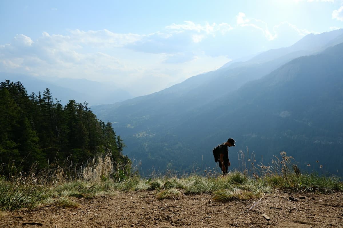
Sundarijal is about 15 km from Kathmandu. The park plan gives five hours to Chisapani via Mulkharka and six via Manichud, so allow five to seven. The trail crosses Borlang Bhanjyang, about 2,430 m, before Chisapani at about 2,150 m.
The park fee is NPR 1,000 for foreigners, NPR 600 for SAARC nationals and NPR 100 for Nepali citizens, per person per entry, valid for the day. The park's fee schedule says foreign and SAARC visitors must be accompanied by a park-certified guide. Our Kathmandu hiking guide covers every rim walk, and easy treks in Nepal compares the rim with beginner treks near Pokhara.
Is Helambu a good trek from Kathmandu without a flight?
Yes. Helambu is the most complete trek you can start from the edge of Kathmandu. Our version walks out of Sundarijal, climbs to Tharepati, about 3,690 m on our itinerary, and descends to Melamchi Bazaar for the drive back, six days in all.
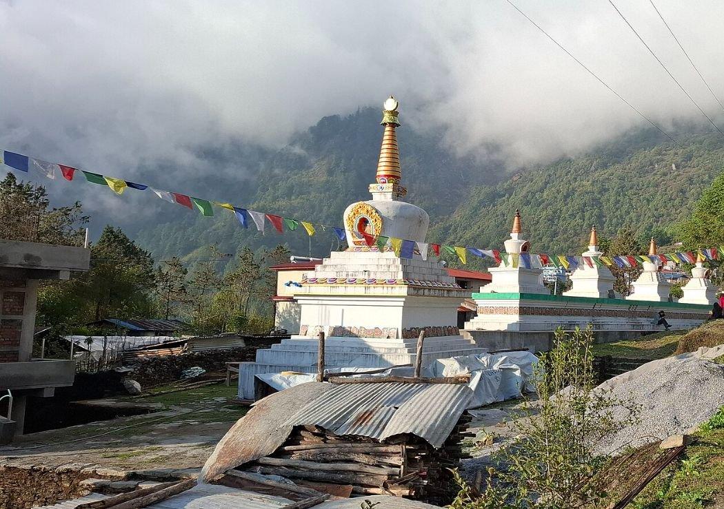
The Department of National Parks and Wildlife Conservation (DNPWC) says Langtang treks "cover much of the Langtang National park and the southern Helambu region", so Helambu needs the Langtang National Park permit, plus the Shivapuri Nagarjun ticket from Sundarijal. We arrange the park permits your route needs. We found no 2026 closure notice for Helambu; ask us before you go.
Tharepati is well above the 2,450 m line where altitude illness becomes a risk, so treat Helambu as an altitude trek. Crossing on to Gosaikunda takes you into Rasuwa, which our current notice covers.
Can you trek Langtang, Gosaikunda or the Tamang Heritage Trail now?
Langtang, Gosaikunda and the Tamang Heritage Trail are the closest big-mountain treks to Kathmandu by road, but the 26 August 2026 flood in Rasuwa damaged the road and trail around Syabrubesi. The road link to Rasuwa reopened on 11 October, but we do not recommend these treks until the route is confirmed safe. Ask us before you plan.
The Nepal Tourism Board (NTB) calls Langtang "one of the nearest trekking destinations from Kathmandu". The flood, on the Bhote Koshi in Rasuwa (not the river of the same name in Sindhupalchok), damaged "Syafrubesi, Timure, Thuman, Briddim and other areas", The Kathmandu Post reported.
Since then:
- A Bailey bridge near Betrawati reopened the road link to Rasuwa on 11 October 2026 (The Kathmandu Post).
- In an advisory reported on 23 October 2026, the Trekking Agencies' Association of Nepal (TAAN) said the Langtang, Kyanjin and Gosaikunda areas were open by way of Dhunche or Thulo Syafru. That is TAAN's view, not ours.
- On 25 October, local tourism businesses said a temporary footbridge at Syafrubesi had reopened the Tamang Heritage Trail (Republica).
- On 9 November, OnlineKhabar reported that the Syafrubesi bridge had reopened after the Red Cross, local councils, security forces and residents rebuilt it.
- On 12 November, a Langtang National Park officer told OnlineKhabar that tourist arrivals were returning to normal as access improved.
We have not seen a notice from the national park, the Rasuwa district administration or NTB confirming the route safe, so our position stands. This season, we suggest Helambu or the valley rim instead.
How do you reach Manaslu and Tsum by road?
Manaslu is the big no-flight circuit. You drive up the Budhi Gandaki valley to the end of the jeep road, walk a loop of about 177 km over the Larkya La, 5,106 m (5,160 m is also published), and come out at Dharapani, where on our trips a jeep takes you to Besisahar.
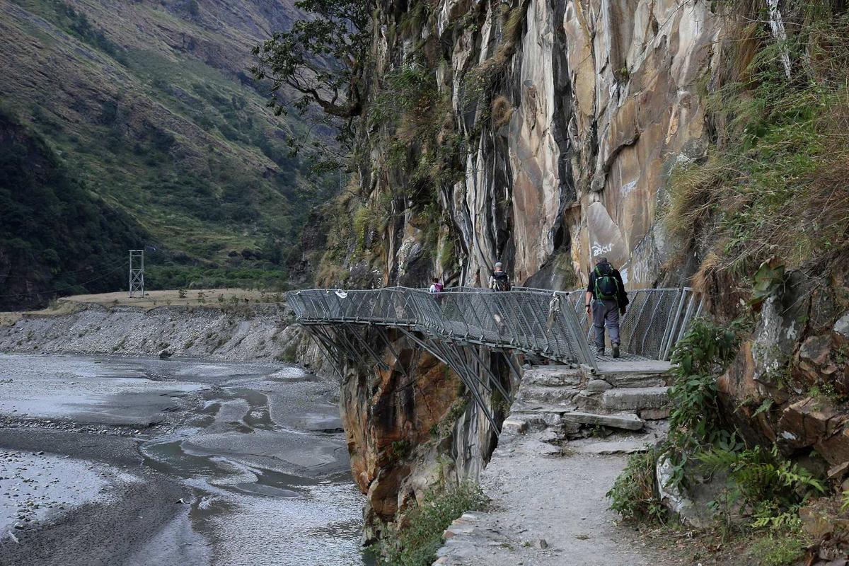
The jeep road ends around Machha Khola, about 900 m, or Khorlabesi, depending on repairs; ask us where it reaches for your dates. A flash flood on 11 October 2026 washed away the Soti road bridge and footbridges at Machhakhola and Sirdibas. TAAN announced on 22 October that the route to the Larke Pass was open, urging caution. On 25 October an MCAP officer described the reopening:
"Tourists have started arriving again since October 16. They are travelling from Jagat through Philim towards the Nubri Valley and Larkya La pass."
Information officer, Manaslu Conservation Area Project, quoted in The Kathmandu Post, 25 October 2026
Manaslu is a restricted area, so on top of the conservation-area permit you need a restricted-area permit, issued only through a registered agency. Since 22 March 2026 a solo trekker can be issued one, with a licensed guide. It costs USD 100 per person per week plus USD 15 a day beyond a week from September to November, and USD 75 a week plus USD 10 a day from December to August. There is also a local municipality fee, which we arrange. The Department of Immigration stopped issuing these permits from 29 to 31 October 2026 during the Cyclone Arnab weather warning; we found no report that the pause was extended, but ask us about timing. See our Manaslu trek permit guide and Manaslu Circuit route guide.
Tsum Valley branches off the same trail, with its own permit: USD 40 per person per week plus USD 7 a day from September to November, and USD 30 a week plus USD 7 a day from December to August. On 25 October, MCAP said the Tsum trail would take another eight to 10 days to reopen; we have seen no official update since, so check with us first.
Can you walk to Everest Base Camp from Kathmandu?
Partly. No road reaches Everest Base Camp on the Nepal side, but you can drive to Jiri or Salleri and walk in, joining the Lukla trail lower down. The walk-in adds days but takes the Lukla flight out of your way in, which suits people with time to spare.
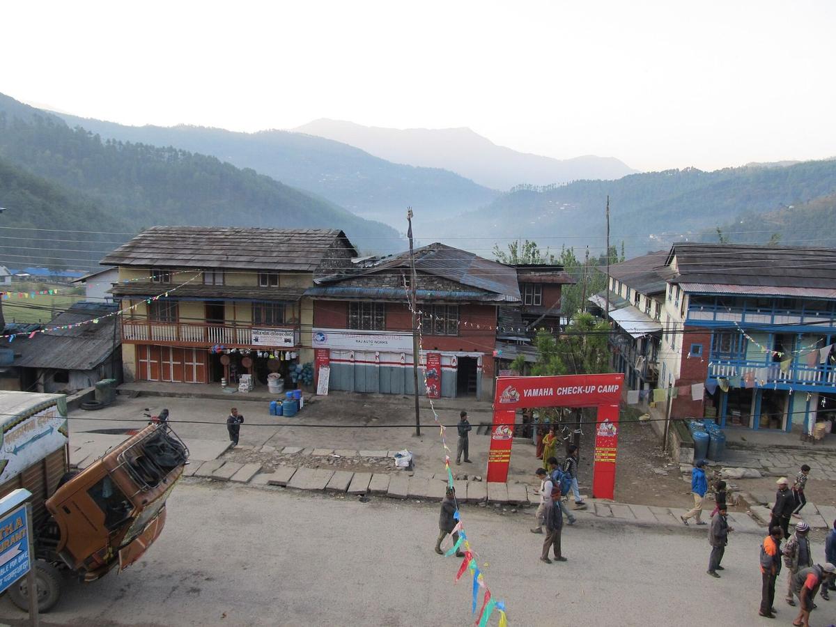
From Jiri, about 188 to 190 km from Kathmandu, operators allow about seven walking days to Namche, over the Lamjura La, about 3,530 m, joining the Lukla trail at Surke or Chaurikharka. From Salleri, operators give about 2 to 3 days' walk to Namche, depending on where the jeep stops.
Operators list the Gaurishankar Conservation Area permit for the Jiri trail, as well as the Sagarmatha National Park permit and the Khumbu Pasang Lhamu Rural Municipality Trek-Card. Gaurishankar and Sagarmatha each cost NPR 3,000 for foreigners. The Trek-Card costs NPR 3,000, or NPR 2,000 for SAARC and Chinese citizens, and the municipality names the Tourist Information Centre in Lukla as where it is issued, so ask us how to get it if you join below Lukla.
Our guide to getting to Everest Base Camp compares every way in.
How do you start the Annapurna Circuit by road?
The Annapurna Circuit is the simplest big trek to begin by road. A bus or jeep takes you to Besisahar in a long day, and the trail climbs through Manang to the Thorong La, 5,416 m. With roads now reaching Upper Manang and Muktinath, the circuit takes roughly 7 to 10 days, down from about three weeks.
The Thorong La and Tilicho routes reopened on 1 November 2026. The ACAP permit costs double if issued at a check-post, so on our trips we arrange it in advance. With Pokhara to Jomsom flights suspended, the way out from Jomsom is by road through Beni; in early November that road was running one way on damaged stretches while repairs went on (Gorkhapatra, 3 November). On the pass, your guide, who knows the route, decides when and how to cross, based on snow and the forecast.
Which Pokhara-side treks can you reach by road?
Every Pokhara trek is also a no-flight trek from Kathmandu, because Pokhara is a road journey of most of a day, often six to nine hours with traffic and roadworks. From Pokhara, jeeps reach the trailheads for Ghorepani Poon Hill, Annapurna Base Camp and Mardi Himal, so the whole trip runs on wheels and feet.
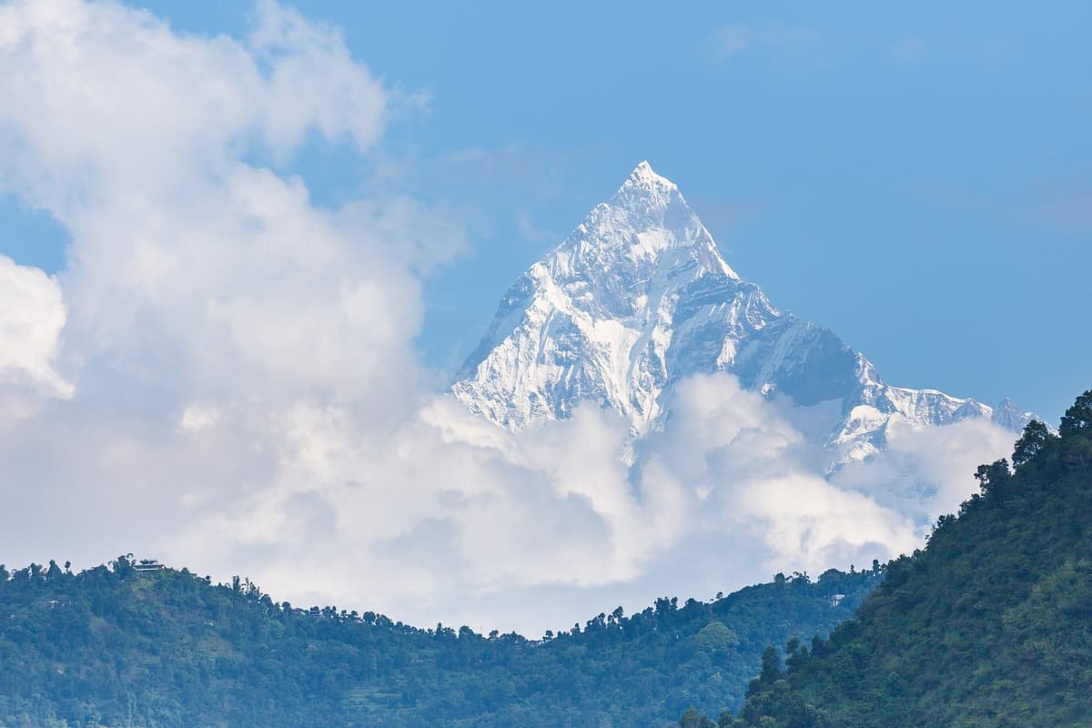
Poon Hill is 3,210 m, with nights at Ghorepani, about 2,850 m. Annapurna Base Camp is 4,130 m, and many Mardi Himal itineraries, ours included, turn at the Upper Viewpoint, about 4,200 m. Our treks from Pokhara guide compares the routes.
How do you get to the road-heads: bus, jeep or private car?
You have three ways to reach a road-head: a public bus, a jeep, or a private car. Buses are cheapest and slowest, jeeps handle rough upper roads better, and a private car lets you stop when you like. On our trips the transport is planned for you, and each trip page lists what is included.
- Public bus: buses from Ratna Park serve Sundarijal and Budhanilkantha; operators give 9 to 10 hours to Machha Khola and 8 to 10 to Jiri.
- Jeep: 7 to 8 hours to Machha Khola or Jiri, operators say.
- Private car: best for short starts such as Sundarijal or Nagarkot.
Which no-flight treks work in winter?
In winter, the valley rim, Helambu and Poon Hill are the easiest no-flight choices from Kathmandu. Days on the rim are usually clear and mild, but nights are cold. The high passes, Larkya La and Thorong La, can close with snow, so plan them with spare days and let your guide judge the crossing.
The Kathmandu airport weather station (1,337 m) averages 20.2 °C by day and 4.2 °C at night in December, and Kakani on the rim, about 2,060 m, 14.9 °C and 4.8 °C (DHM and Kakani normals). These figures describe the valley and its rim only, not the high passes. NTB notes winter's "compensating bright sun and brilliant views" and puts the clearest skies just before it:
"the clearest skies are found after the monsoon in October and November"
Nepal Tourism Board, Climate page, checked 18 November 2026
Our winter treks in Nepal guide has more.
How do you stay safe at altitude on these treks?
Several of these treks climb well above the height where altitude illness starts. The US CDC puts the risk from a sleeping altitude of about 2,450 m (8,000 ft). Chisapani is below that line, Ghorepani and Tharepati are above it, and the passes on Manaslu, the Annapurna Circuit and the Everest trail go far higher.
- Go up slowly: above 3,000 m, raise your sleeping height by no more than about 500 m a night, with a rest day every 3 to 4 days.
- Walk slowly, "bistarai", drink enough water and avoid alcohol early on.
- Know the symptoms, never go higher with them, and descend if they get worse.
- Ask your doctor before the trip about preventive medicine.
Garlic soup and hot soups are a comforting local habit, not a proven cure. With severe symptoms, descend at once; our guide arranges a rescue if needed. Read more on altitude sickness on Nepal treks.
Do you need a guide for treks from Kathmandu?
A licensed guide walks with you on every trek we run. Some routes also have their own rules: in Shivapuri Nagarjun National Park, the fee schedule says foreign and SAARC visitors must be accompanied by a park-certified guide, and restricted areas such as Manaslu and Tsum need a registered agency and a licensed guide.
Our Nepal trekking permits guide lists what each region asks for.
Frequently asked questions
Can you walk from Kathmandu to Everest Base Camp?
Not all the way, but you can skip the flight in. Drive to Jiri or Salleri and walk to Namche, about seven walking days from Jiri, operators say. No road reaches Everest Base Camp on the Nepal side.
What is the nearest trek from Kathmandu?
The valley rim: Sundarijal, about 15 km from the city, to Chisapani, five to seven hours on foot. Helambu continues from the same trailhead. Langtang is the nearest big-mountain trek, but after the 26 August 2026 flood in Rasuwa we do not currently recommend it.
Is the Langtang trek open now?
TAAN said in late October 2026 that the Langtang, Kyanjin and Gosaikunda areas were open by way of Dhunche, and on 12 November a Langtang National Park officer said tourist arrivals were returning to normal. We have not seen a notice confirming the route safe, and we do not recommend this trek until the route is confirmed safe. Ask us before you plan.
Is the Manaslu trek open now?
TAAN announced on 22 October 2026 that the route to the Larke Pass was open, urging caution, and MCAP reported trekkers heading for the Larkya La from 16 October. Late-October reports put the road head at Machha Khola or Khorlabesi. Ask us for current conditions, especially for Tsum.
Plan your trek from Kathmandu
Pick the rim or Helambu for a short trip, Manaslu or the Annapurna Circuit for a big one, and the Jiri walk-in if you have time. Compare the options in our guide to the best treks in Nepal, or browse our trek packages from Kathmandu; the Langtang-area trips listed there carry a "Currently not recommended" notice on their own pages. Two we can suggest now are the Helambu trek from Sundarijal and the Manaslu Circuit trek from Kathmandu.
To plan dates, message us on WhatsApp or use the enquiry form on any trip page.