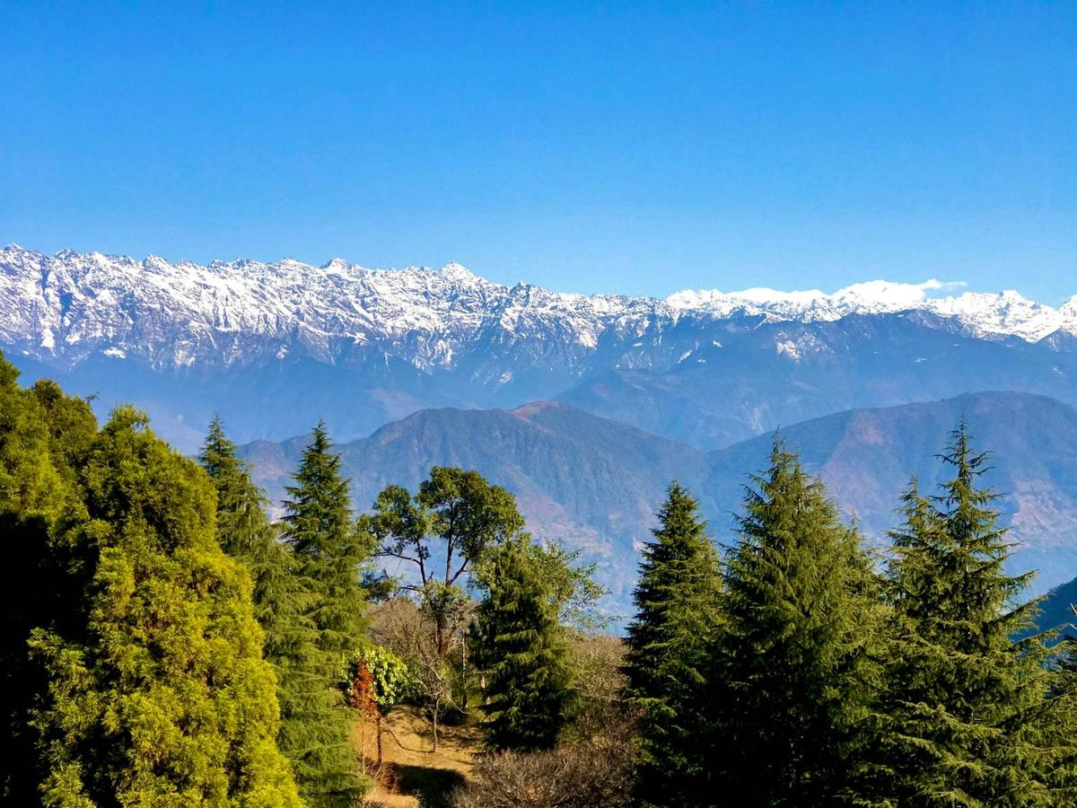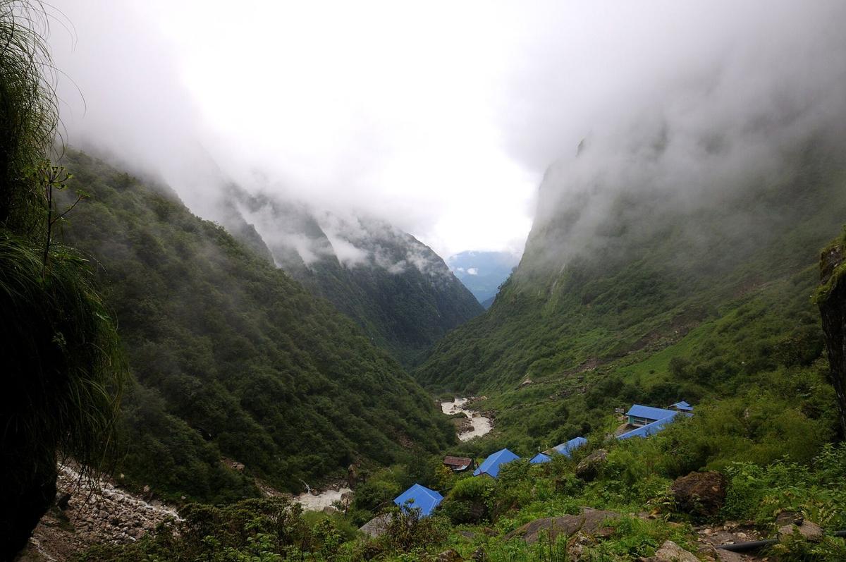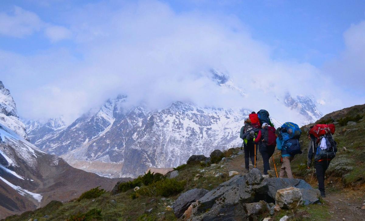
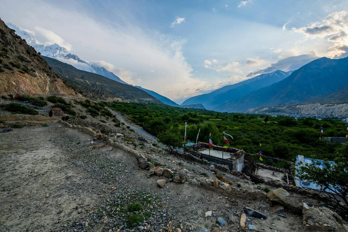
At first light the Kali Gandaki at Jomsom is a wide bed of grey stones with the river braided through it, and the air is still. By late morning the wind is pushing up the valley, lifting dust off the road to Kagbeni. Across the river, away from the jeeps, older footpaths still join the villages.
The Jomsom Muktinath trek is a short teahouse walk from Jomsom, at about 2,740 m, up the Kali Gandaki to Kagbeni and on to the temple at Muktinath, about 3,800 m, according to the Nepal Tourism Board (NTB). A road now covers the same ground, so the good walking is on the side trails through Lubra, Jhong, Thini and Marpha. For the wider district, start with our Mustang guide.
Updated 17 Nov 2026
In this guide
- Key facts
- What the trek is today
- Route options and stages
- The side trails
- The afternoon wind
- Best time and winter
- The ACAP permit
- Getting to Jomsom now
- Arriving over Thorong La
- Altitude
- Teahouses, food and guides
- The Muktinath temple
- Frequently asked questions
Key facts
- Muktinath
- About 3,800 m, according to NTB; other published figures about 3,710 m to 3,762 m (NTB; operator pages, checked 18 Nov 2026)
- Jomsom
- Airport 2,736 m (8,976 ft); town about 2,740 m (CAAN e-AIP; DHM station data, checked 18 Nov 2026)
- Road distance
- Jomsom to Kagbeni 13 km; Jomsom to Muktinath about 25 km (OnlineKhabar; Republica; Nepal News, checked 18 Nov 2026)
- Walking time
- About 2.5 to 4 hours to Kagbeni, then about 3.5 to 4 hours to Muktinath (operator figures) (Operators and trail guides, checked 18 Nov 2026)
- Permit
- ACAP: NPR 3,000 foreign, NPR 1,000 SAARC, NPR 100 Nepali; single entry (NTB; NTNC e-permit portal, checked 18 Nov 2026)
- Flights
- Regular Pokhara to Jomsom flights suspended since October 2026; no restart found (Peoples' Review; ekantipur; our news search, checked 18 Nov 2026)
- Road from Beni
- 76 km; one-way on damaged stretches, latest report 3 November 2026 (The Rising Nepal; Gorkhapatra, checked 18 Nov 2026)
What is the Jomsom Muktinath trek today?
Today the Jomsom Muktinath trek runs beside a road unless you pick the trails that avoid it. The Jomsom to Kagbeni road has been blacktopped, an asphalt road climbs on to Muktinath, and a jeep does the whole way in about 45 minutes to 1.5 hours, operators say.
With roads reaching Upper Manang and Muktinath, The Kathmandu Post says the Annapurna Circuit has shortened from about 21 days to roughly 7 to 10 days. A 2011 trail guide records that ACAP began planning trails away from the road around 2006, the New Annapurna Trekking Trails. Recent trail guides still describe walking routes away from the road, and they are the reason to come on foot.
Jomsom to Muktinath trek: route options and stages
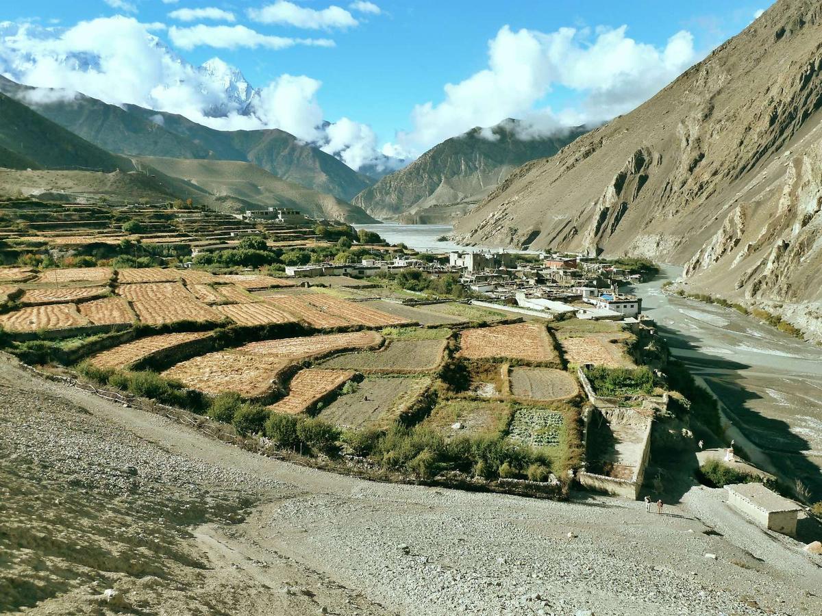
The core route is two stages, Jomsom to Kagbeni and Kagbeni up to Muktinath. The Nepal Tourism Board calls it "a five-hour walk from Jomsom to Muktinath", but you can split it at Kagbeni and come back a different way. Road and trail distances differ: the road to Kagbeni is 13 km, while walkers measure about 9 to 10 km on foot.
| Stage | Heights | Walking time (operator and trail-guide figures) |
|---|---|---|
| Jomsom to Kagbeni | About 2,740 m to about 2,800 m | About 2.5 to 4 hours |
| Kagbeni to Muktinath | About 2,800 m to about 3,800 m (NTB) | About 3.5 to 4 hours |
| Muktinath to Jomsom via Lubra | About 3,800 m to about 2,740 m | About 5 to 6.5 hours, about 19 km |
| Muktinath to Kagbeni via Jhong | About 3,800 m to about 2,800 m | About 5 to 7 hours (2011 trail guide) |
| Kagbeni to Jomsom via Phalyak | About 2,800 m to about 2,740 m | About 6 to 8 hours (2011 trail guide) |
| Jomsom to Marpha via Thini and Dhumba Lake | About 2,740 m to a little below Jomsom | About 3 hours, longer with stops |
The short loop. Jomsom to Kagbeni, up to Muktinath, then back over the ridge to Lubra and Jomsom: about three walking days, taking one stage a day. Add the drive of about 7 to 10 hours each way between Pokhara and Jomsom and it comes to about five days from Pokhara. Keep a spare day for the road.
The side trails worth walking
Lubra (Lupra) village
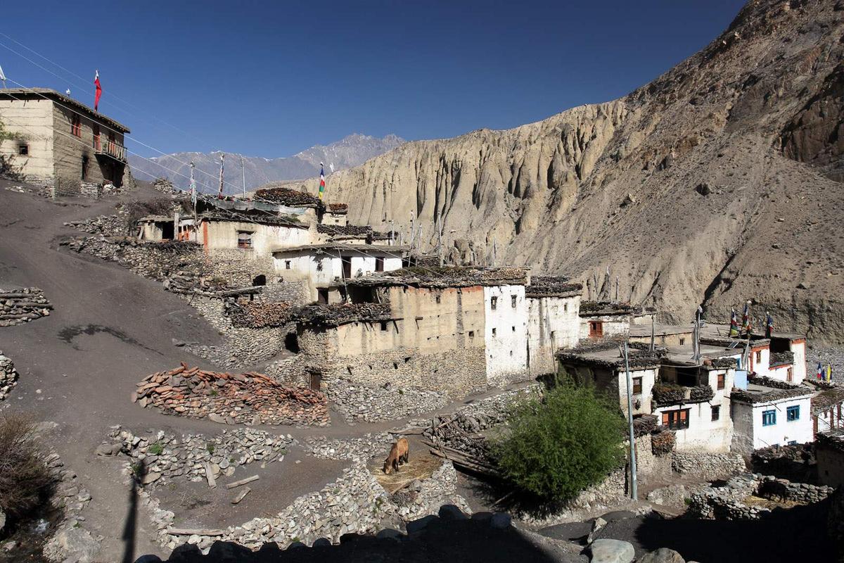
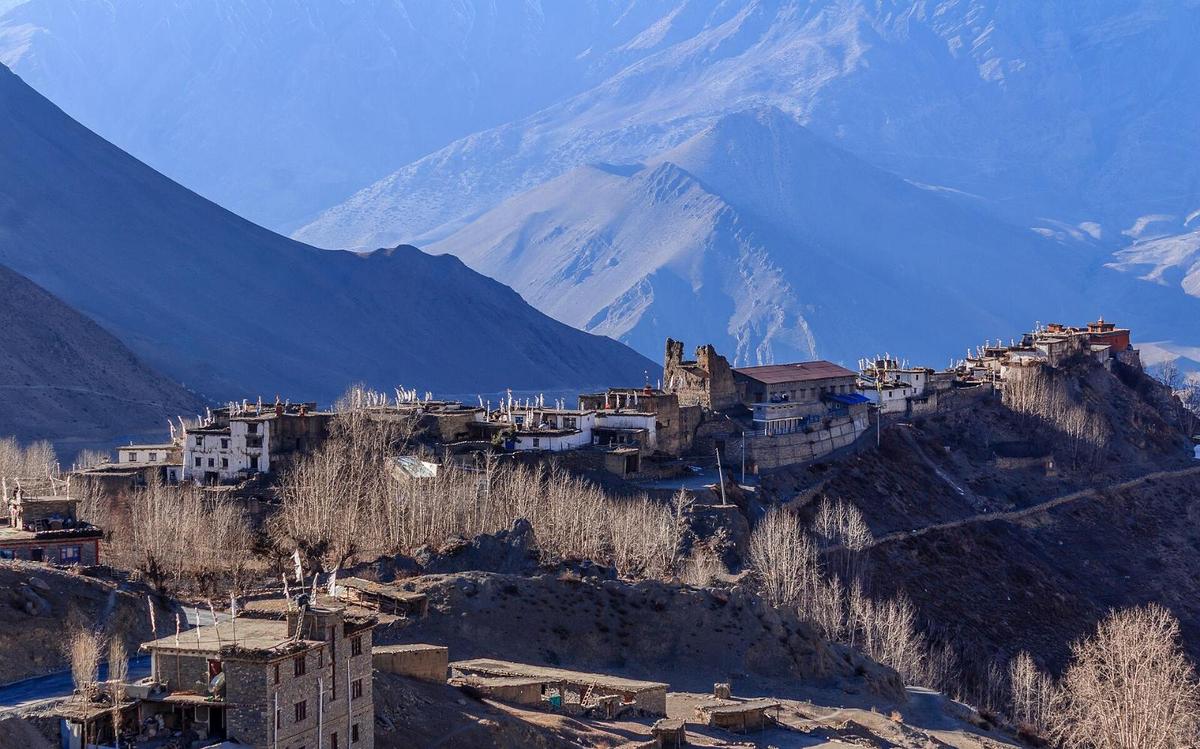
The return from Muktinath via Lubra is the strongest reason to walk. It crosses a ridge, drops into the Lubra valley and follows the riverbed down to the Kali Gandaki near Jomsom. The Kathmandu Post puts Lubra at about 2,950 m and calls it an approximately 800-year-old settlement, home to one of Nepal's remaining Bon communities; the anthropologist Charles Ramble calls Lubra's monastery "the first Bonpo monastery to be founded in Nepal" (Al Jazeera). The riverbed is also Lubra's problem: floods have hit the village almost every year over the past decade, and research cited by the Post estimates the bed has risen about 12 m. Walk it in the dry season.
Jhong and the high route to Jomsom
The quieter way down from Muktinath goes through Jhong, on the other side of the Muktinath valley, to Kagbeni. Recent trail guides describe Lubra and Jhong as ordinary walks on the ACAP permit; for anything north of the Muktinath valley road, ask us first. From Kagbeni, trail guides describe a high route back that crosses the Kali Gandaki at Eklebhatti and climbs through Phalyak and Dhakarjhong. Kagbeni itself is a popular pilgrim stop, so book ahead in the pilgrim season.
Thini, Dhumba Lake and Marpha
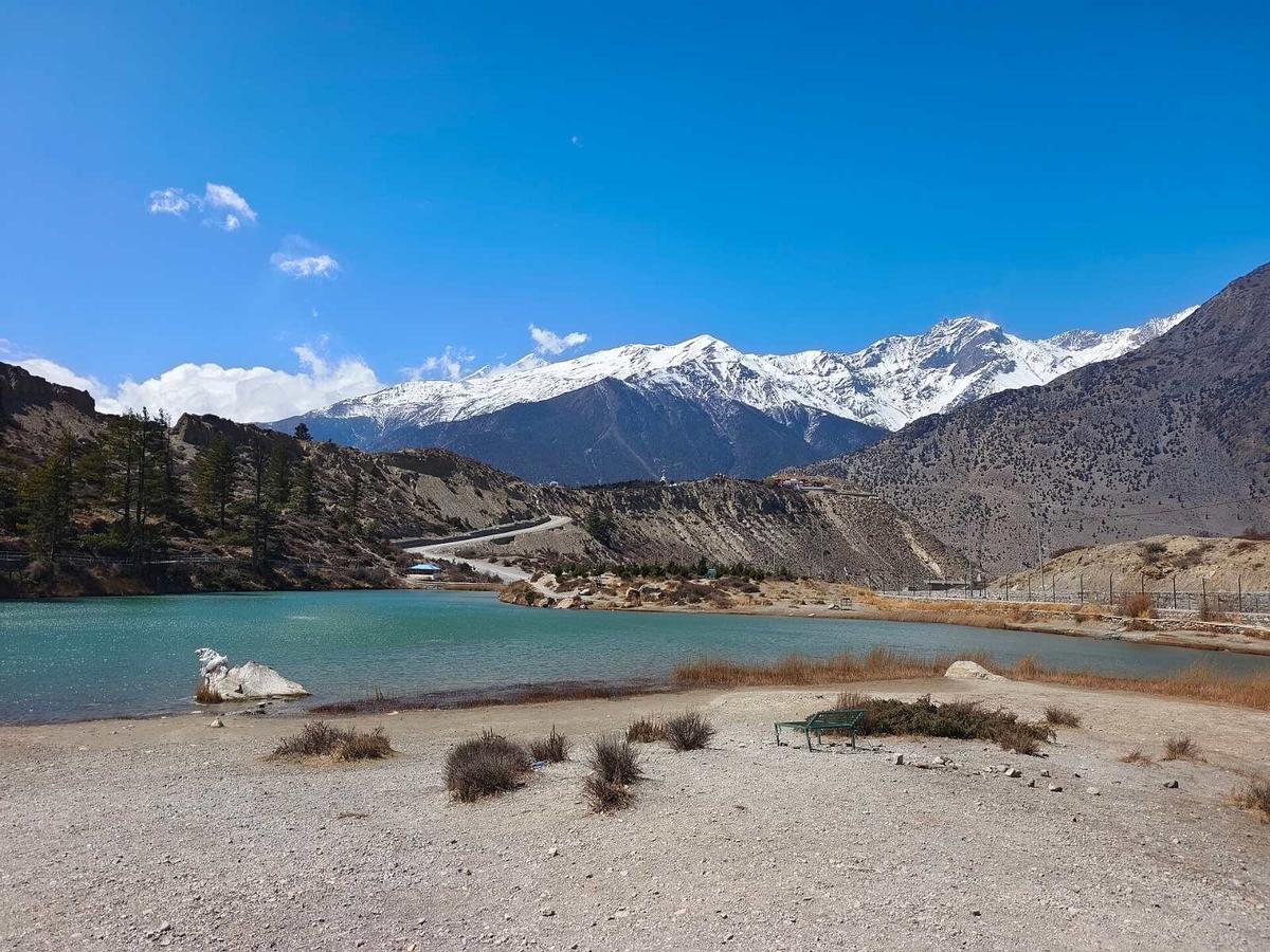
Dhumba Lake is about an hour's walk from Jomsom, and trail guides say a path through Thini and past the lake reaches Marpha in about 3 hours, against about 1.5 hours on the road. The Kathmandu Post calls Marpha the "apple capital of Nepal", where brandy is distilled from fermented apple mash.
Why start early? The Kali Gandaki wind
Start early on any Kali Gandaki trek: the wind usually picks up from late morning and grows through the afternoon. It blows up the valley, so it is at your back heading north to Kagbeni and in your face coming south to Jomsom or Marpha.
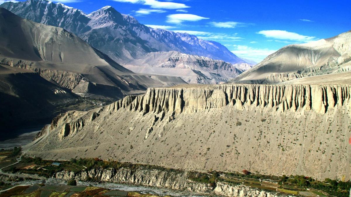
"Intense upvalley winds blow up this valley during the day."
Monthly Weather Review, "Diurnal Winds in the Himalayan Kali Gandaki Valley. Part I: Observations", 2000
That study measured the strongest winds between Marpha and Chhusang, typically 15 to 20 metres per second, a stretch that takes in Jomsom and Kagbeni. Pack a buff and wraparound sunglasses.
Best time for the Jomsom Muktinath trek, and winter
Spring and autumn are best. NTB says "the clearest skies are found after the monsoon in October and November". Jomsom is dry all year, but winter nights average below freezing, and Muktinath, about 1,000 m higher, is colder still.
| Month | Jomsom mean max / min (°C) | Rain (mm) |
|---|---|---|
| April | 18.6 / 4.4 | 21.4 |
| October | 18.0 / 5.5 | 18.2 |
| November | 14.8 / 1.5 | 4.6 |
| January | 10.4 / -1.9 | 14.4 |
DHM normals for the Jomsom station, 1991 to 2020. In winter, snow shuts the upper road at times: in late January 2026 it stopped pilgrims at Kagbeni until traffic resumed on 30 January. In the monsoon the valley stays fairly dry, with 292.4 mm of rain a year at Jomsom against about 3,868 mm in Pokhara; the problem is the road up.
The ACAP permit for the Jomsom Muktinath trek
You need one permit, the Annapurna Conservation Area Project (ACAP) entry permit: NPR 3,000 for foreign nationals and NPR 1,000 for SAARC nationals, including Indians, per person per entry. Nepali citizens pay NPR 100 and children under 10 go free. More in our Muktinath permit guide.
- It is single entry, not transferable or refundable, and you must carry it and show it on request.
- Bought at a check post it costs double, so buy it first at a counter in Kathmandu or Pokhara or online, which adds a 2.9% gateway charge.
- Indian travellers can use Aadhaar or voter ID for the permit, but entering Nepal is your own arrangement, and NTB says Aadhaar is not accepted as a travel document.
- Jomsom, Marpha, Kagbeni and Muktinath are outside the Upper Mustang restricted area. North of Kagbeni you need a restricted-area permit issued through a registered agency, with a licensed guide, listed by NTB at USD 50 per person per day.
How do you get to Jomsom while flights are suspended?
For now most travellers reach Jomsom by road. Peoples' Review reported regular Pokhara to Jomsom flights suspended by Tara Air from 19 October 2026 "until further notice" and by Summit Air from 21 October "until the next season"; up to 18 November 2026 we found no restart. Nepal News quoted the Jomsom Airport chief: "charter flights will continue to operate".
Our Pokhara to Jomsom guide compares the options. Operators quote about 7 to 10 hours for the drive from Pokhara, more after rain, and about 22 km of the 76 km Beni to Jomsom section is highly vulnerable to floods and landslides, according to the road project.
Our Jomsom to Muktinath road guide covers the jeep option, and our guide to Jomsom town covers where you start.
Arriving over Thorong La from the Annapurna Circuit
Many walkers reach Muktinath from above. Thorong La, the pass Annapurna Circuit trekkers cross before Muktinath, is 5,416 m, and the usual night before it is Thorong Phedi, at about 4,450 to 4,550 m (figures vary). The route reopened at the start of November 2026 after Cyclone Arnab, and the safest months to cross are March to May and September to November. Your guide, who knows the route, decides when and how to cross, based on snow and the forecast. Our Thorong La pass guide has the detail.
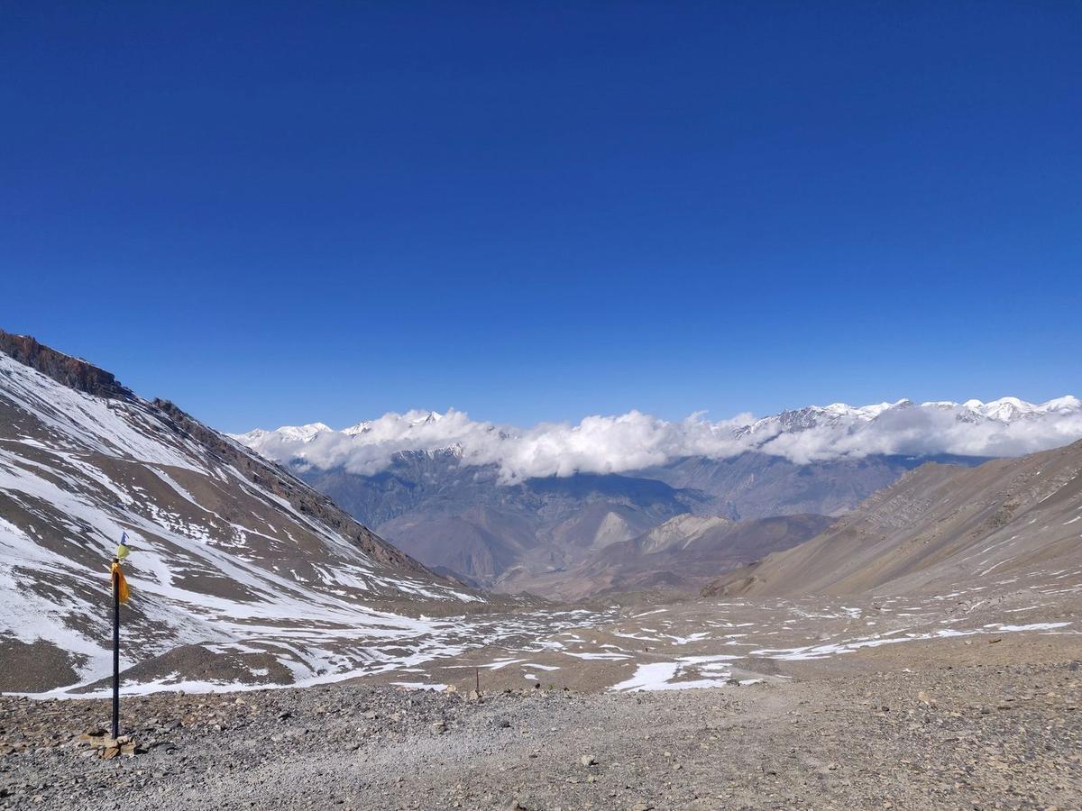
How high is the Muktinath trek, and will altitude affect you?
Muktinath is at about 3,800 m, according to NTB (other published figures run from about 3,710 m to 3,762 m), and the CDC says altitude illness can affect any unacclimatised traveller sleeping at 2,450 m (8,000 ft) or higher. The night to watch is the first at Muktinath: it raises your sleeping height by about 1,000 m.
That is more than the usual guideline below, from Jomsom or from Kagbeni, so walk up slowly and watch for symptoms that night. Walkers from Thorong La have already been higher; those driving up from Pokhara, at about 820 m, have not.
- Go up slowly: above 3,000 m, raise your sleeping height by no more than about 500 m a day, with a rest day every 3 to 4 days.
- Walk slowly, "bistarai, bistarai", as we say in Nepali.
- Drink enough water, and avoid alcohol early on; the CDC says for the first 48 hours.
- Know the symptoms: headache above all, with loss of appetite, dizziness, tiredness and nausea.
- Never go higher with symptoms; go down if they get worse. By jeep, Muktinath to Jomsom takes about 45 minutes to 1.5 hours, operators say, unless snow has closed the road.
- Ask your doctor before the trip about preventive medicine.
- Garlic soup and hot soups are a comforting local habit, not a proven cure.
Confusion, unsteady walking or breathlessness at rest are severe signs: descend at once and get medical help. Our guide arranges a rescue if needed. Mustang's only hospital is in Jomsom, with a health unit at Muktinath. Read more in our altitude sickness guide for Nepal treks.
Teahouses, food, water and guides
Lodges are found in the main villages from Tatopani up to Ranipauwa, including Marpha, Kagbeni and Jharkot; most rooms are simple, with shared bathrooms in the cheaper places. Walkers report buckwheat bread, buckwheat pancakes and apple pie along the route. Carry a refillable bottle and treat your water. A licensed guide walks with you on every trek we run.
At the Muktinath temple
Vehicles stop at the Ranipauwa parking area, about half an hour's walk below the temple. NTB says "The site is sacred to both Hindus and Buddhists", and pilgrims bathe at "108 sacred waterspouts". This is a working pilgrimage site: dress modestly, follow what the signs and temple staff ask, and ask before photographing people at worship. Our Muktinath temple guide covers its customs in depth.
For the villages around Jomsom by road, see our Lower Mustang guide.
Frequently asked questions
How long does the Jomsom Muktinath trek take?
About three walking days for the loop, taking one stage a day: about 2.5 to 4 hours to Kagbeni and about 3.5 to 4 hours up to Muktinath, operators say, then about 5 to 6.5 hours back to Jomsom via Lubra. Add the drive in and out from Pokhara, about 7 to 10 hours each way.
What is the Jomsom to Muktinath trek distance?
By road, Jomsom to Muktinath is about 25 km, with 13 km to Kagbeni. On foot the trail cuts corners: walkers measure about 9 to 10 km to Kagbeni and about 10 km on to Muktinath. The Lubra return is about 19 km.
Is the walk from Muktinath to Jomsom just a dusty road?
Only if you follow the road. Take the ridge trail to Lubra, or go through Jhong to Kagbeni and on by the high route via Phalyak, and start before the wind.
Can I do the Jomsom Muktinath trek in the monsoon?
The valley is dry, but the road up from Beni is prone to floods and landslides, and the Lubra riverbed floods. Spring and autumn are the safer choice.
What permit do I need for the Jomsom Muktinath trek?
Only the ACAP permit, NPR 3,000 for foreign nationals and NPR 1,000 for SAARC nationals. It costs double at a check post, and a restricted-area permit is needed only north of Kagbeni.
Plan your Jomsom Muktinath trek with us
Road and flight news has changed often this autumn, so read our Mustang guide before you fix dates. To walk into Mustang over the pass, see our Annapurna Circuit trek from Kathmandu. To see the valley by road, our Mustang and Pokhara tour by road and Mustang tour by flight and road both visit Muktinath, Kagbeni and Dhumba Lake on a day trip from Jomsom, reaching Jomsom by road. Message us on WhatsApp or use the enquiry form on any trip page, and we will tell you honestly which suits you.