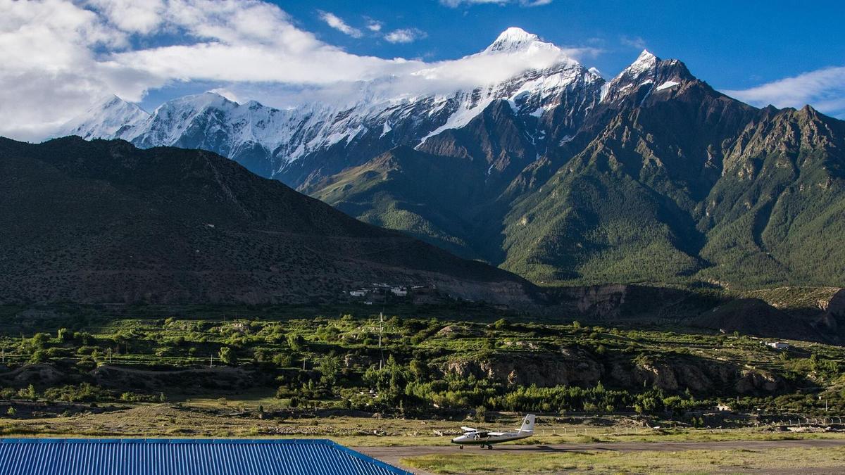
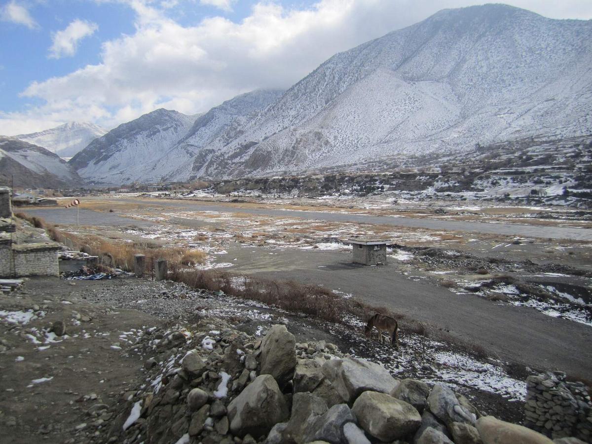
On a clear morning in Jomsom the Kali Gandaki valley is still enough for small planes to land on an 810 m runway. By late morning a strong wind is blowing up the valley, and the airport's published hours end at 12:15. This November the runway is quiet even in the calm hours: regular flights from Pokhara stopped in October 2026, and the road is now the usual way in.
By Uncover Nepal Guide · Checked by our Kathmandu travel team · Last checked 13 November 2026
Jomsom is the headquarters of Mustang district, a town on the Kali Gandaki at about 2,740 m (about 8,990 ft), with an airport at 2,736 m (8,976 ft). It is the base for Marpha, Kagbeni and Muktinath. For the wider district, start with our Mustang guide. In November 2026 you reach Jomsom by the 76 km road from Beni.
In this guide
- Key facts
- How high is Jomsom? Jomsom altitude in metres and feet
- Getting to Jomsom: flight or road?
- Why do Jomsom flights only fly in the morning?
- The road from Pokhara to Jomsom
- What to see in and around Jomsom
- Thakali culture in the Thak Khola
- Jomsom weather and the best time to visit
- Permits for Jomsom, Kagbeni and Upper Mustang
- Altitude and your health
- Our Mustang trips through Jomsom
- Frequently asked questions
- Plan your visit with us
Key facts
- What Jomsom is
- Headquarters of Mustang district; ward 4 of Gharpajhong Rural Municipality (Wikipedia, "Jomsom" and "Gharpajhong Rural Municipality", 13 Nov 2026)
- Airport height
- 2,736 m (8,976 ft); runway 810 m by 20 m (Civil Aviation Authority of Nepal, AIP Nepal AMDT 02/2026, 13 Nov 2026)
- Town height
- About 2,740 m; the DHM weather station is at 2,741 m (DHM station data, via Wikipedia "Jomsom", 13 Nov 2026)
- Airport hours
- End at 12:15 Nepal time; start 06:00, or 06:30 from 16 November to 15 February (CAAN, AIP Nepal AMDT 02/2026, 13 Nov 2026)
- Regular flights
- Suspended by Tara Air from 19 Oct 2026 and Summit Air from 21 Oct 2026; charters continue (People's Review; Himal Press; Nepal News, 13 Nov 2026)
- Road
- Beni to Jomsom 76 km; Pokhara to Beni about 3 hours (Khabarhub; Nepal News; Nepal Tourism Board, 13 Nov 2026)
- Permit
- ACAP permit: NPR 3,000 foreign nationals, NPR 1,000 SAARC nationals, under 10 free (NTNC e-permit portal; Nepal Tourism Board, 13 Nov 2026)
- Restricted area
- Set by ward in NTB's list; in plain words it begins north of Kagbeni, at Chhusang (Nepal Tourism Board, trekking permit page (ward list), 13 Nov 2026)
- Muktinath
- About 3,800 m (NTB); about 25 km from Jomsom by road (Nepal Tourism Board; OnlineKhabar; The Rising Nepal, 13 Nov 2026)
How high is Jomsom? Jomsom altitude in metres and feet
Jomsom Airport is 2,736 m (8,976 ft) above sea level, according to the Civil Aviation Authority of Nepal. The town sits at about 2,740 m (about 8,990 ft): the government weather station there is at 2,741 m. That is above 2,450 m (8,000 ft), the height at which the CDC says altitude illness can affect anyone who sleeps there.
Search for the Jomsom, Nepal altitude and you will see other figures. Wikipedia's town box gives 2,743 m without a source, and travel company pages print 2,713 m and 2,720 m. We use the CAAN airport figure because it is the official survey, and "about 2,740 m" for the town.
What matters more for your body is the climb. Pokhara is about 820 m (about 2,690 ft), so the drive to Jomsom gains about 1,900 m in a day. Kagbeni is about 2,800 m (about 9,190 ft), and Muktinath, about 25 km up the road, is about 3,800 m (about 12,470 ft) according to NTB, about 1,000 m above Jomsom; other published Muktinath figures run from about 3,710 m to 3,760 m.
Getting to Jomsom: flight or road?
In November 2026 you get to Jomsom by road. Regular Pokhara to Jomsom flights were suspended in October 2026 for about five months, and only charter flights are running. The drive from Pokhara takes most of a day: about three hours to Beni, then 76 km of mountain road up the Kali Gandaki to Jomsom.
Getting to Jomsom, compared (status checked 13 November 2026)
| Option | Time | Distance | Status, November 2026 | Notes |
|---|---|---|---|---|
| Flight, Pokhara to Jomsom | A short flight, roughly 20 minutes | No official figure published | Regular flights suspended since 19 and 21 October 2026, reported for about five months; charters continue | Twin Otter aircraft; mornings only; winter pauses are normal |
| Road, Pokhara to Beni | About 3 hours (NTB) | No reliable figure; sources disagree | No closure reported in our sources | The easier first part of the drive |
| Road, Beni to Jomsom | Operators quote about 7.5 to 10 hours for the whole drive from Pokhara in good conditions | 76 km | Reopened in stages through October 2026, with slow and damaged stretches | Night driving was banned for two nights in August 2026 for flash-flood risk |
"Private airline operators have suspended regular air services between Pokhara and Jomsom for a period of five months."
Nepal News, "Pokhara-Jomsom air services suspended for five months", 22 October 2026
Winter pauses are normal anyway: in winter 2025 to 2026, Tara Air paused from 4 December to 1 March and Summit Air from 1 December to 1 February.
From Kathmandu, Pokhara is six to nine hours by road or about 30 minutes by air; see our Kathmandu to Pokhara guide. Your international flight to Kathmandu is your own arrangement. Annapurna Circuit trekkers can also arrive on foot over the Thorong La pass (5,416 m, or 17,769 ft) to Muktinath; see our Thorong La guide.
Why do Jomsom flights only fly in the morning?
Because the wind decides. Strong winds blow up the Kali Gandaki valley during the day, and after late morning they often stop flights, so the schedule is built around the early hours. CAAN publishes Jomsom Airport's operating hours as ending at 12:15 Nepal time, and Nepal News reported that flights usually ended by 11 am.
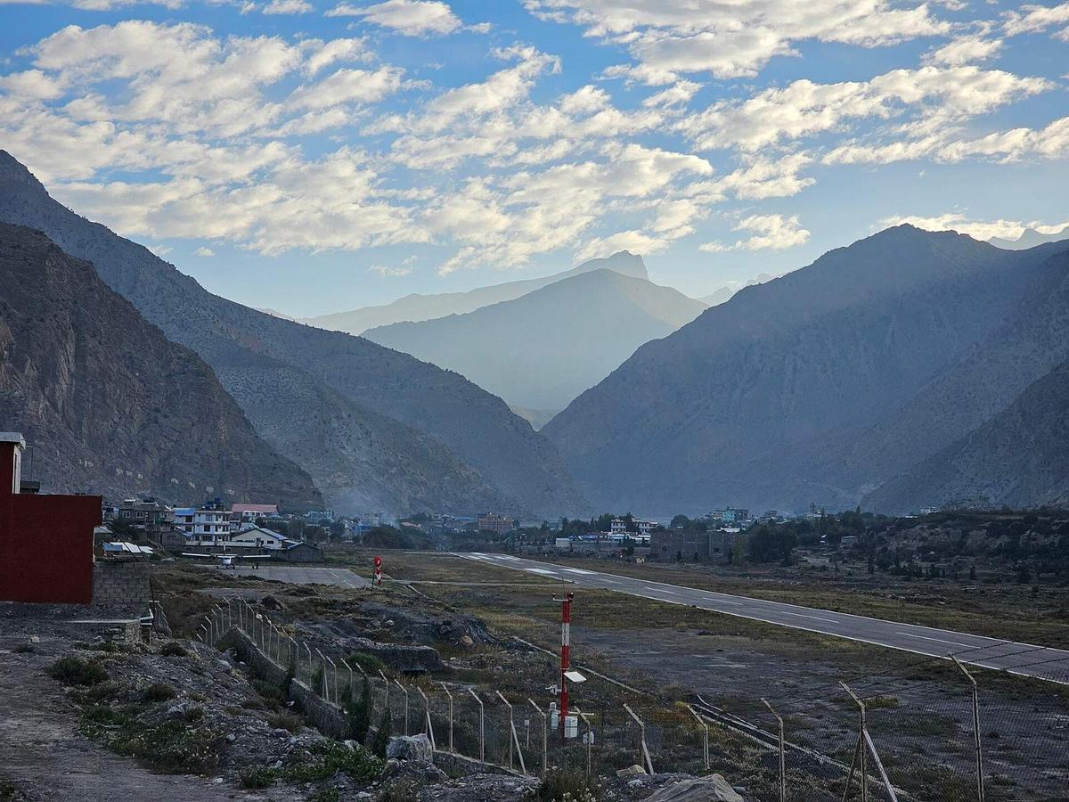
A field study in Monthly Weather Review in 2000 put it plainly: "Intense upvalley winds blow up this valley during the day." The researchers measured the strongest of them between Marpha and Chhusang, typically at 15 to 20 metres per second.
The runway is 810 m long and 20 m wide, and published hours start at 06:00, or 06:30 from 16 November to 15 February. Once regular flights return, fly early, keep a spare day in case a morning is lost to cloud, and avoid a tight onward connection on the day you fly out.
The road from Pokhara to Jomsom
NTB says "Beni is a 3 hour drive from Pokhara". By December 2025 about 26 km of the 33 km from Beni to Kavrebhir, at the Mustang border, had been widened and blacktopped (The Himalayan Times; ekantipur), though the late-September 2026 floods later damaged sections of the road. Beyond that you follow the Kali Gandaki north between Dhaulagiri and Annapurna I (8,091 m, or 26,545 ft), a valley often described as one of the deepest gorges in the world.
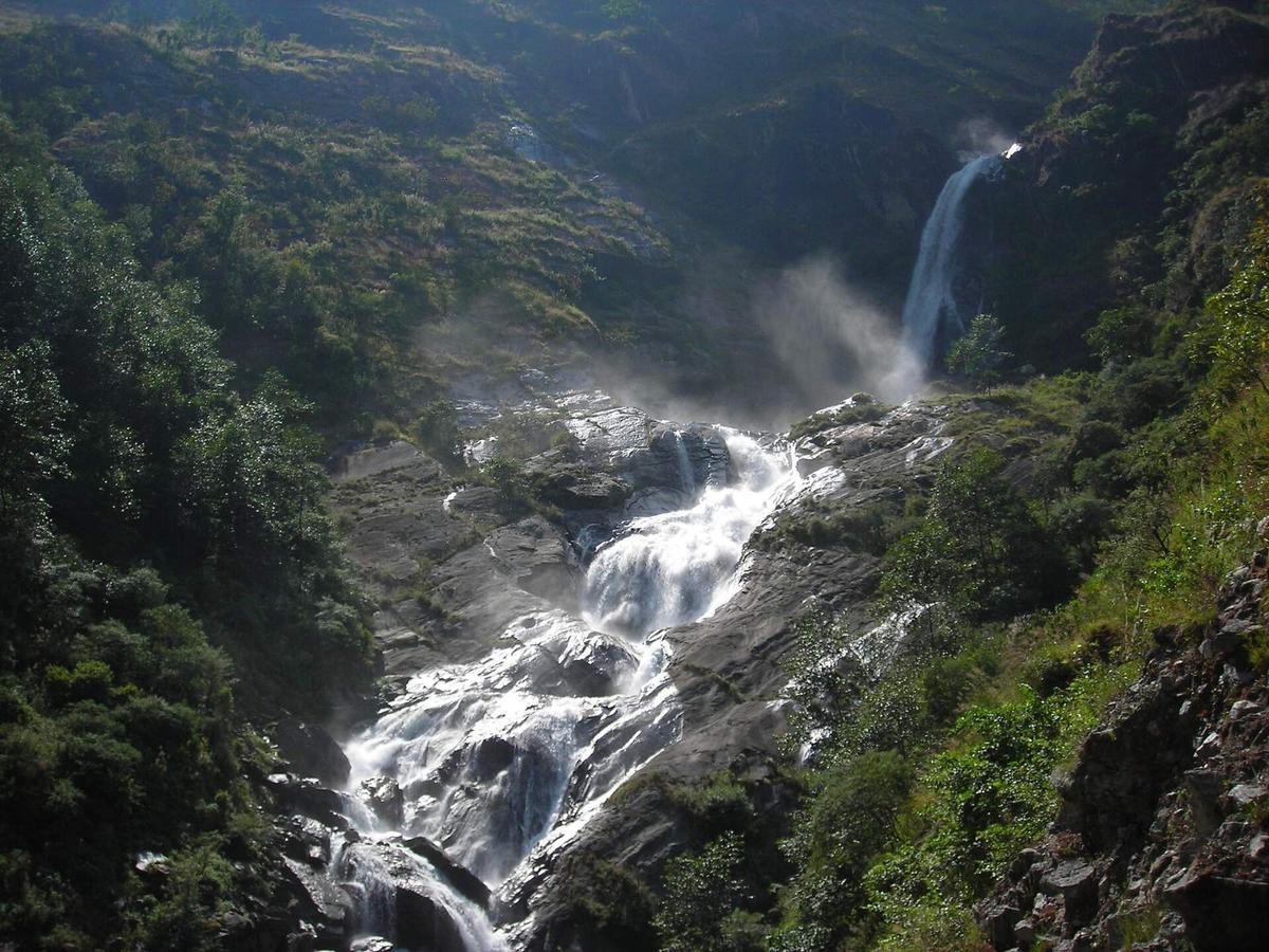
The Beni to Jomsom section is 76 km, through Tatopani, Ghasa, Lete, Kalopani, Larjung, Kobang, Tukuche and Marpha. Along the way:
- Rupse waterfall comes down beside the road in Myagdi, about 30 km north of Beni.
- Tatopani hot springs. NTB lists "Tatopani in Myagdi on the way to Jomsom" among Nepal's natural hot springs. After the 2026 floods, Bhurung and Paudwar Tatopani were reported safe.
- Ghasa checkpoint. Police count vehicles entering and leaving Mustang here.
The monsoon is the hard season. In early August 2026 the Mustang District Administration Office banned night driving for two nights, from 7 pm to 5 am, because of flash-flood risk on a 22 km landslide-prone stretch. Floods at the end of September then blocked the road for nearly two weeks, and after it reopened Ratopati described a "narrow, muddy, and risky road". Expect slow stretches in November.
What to see in and around Jomsom
Jomsom works best as a base. Within a day you can walk to a sacred lake, cross the river to Thini, visit Marpha, explore Kagbeni at the edge of Upper Mustang, or drive up to Muktinath and back. All of these need only the ACAP permit.
Jomsom bazaar and the Mustang Eco Museum
Jomsom is a working district headquarters on the Kali Gandaki, with Mustang's only hospital, an ACAP check post and the airport. Beside the airport stands the Mustang Eco Museum, founded in 1992 and managed by ACAP from 1997; by 2022 ACAP had handed it to the local government, with a Jomsom mothers' group running it day to day (The Kathmandu Post). Displays include Tibetan artefacts, the story of the Japanese monk Ekai Kawaguchi, and shaligrams, fossilised sea shells from the Kali Gandaki. Inside, the museum presents Mustang's culture as divided "between Thakali settlements to the south and Tibetan settlements to the north" (The Kathmandu Post). We could not confirm its current opening hours, so check locally.
Thini
Thini sits across the river from Jomsom. The Kathmandu Post says Thini "is known as the place of origin of the Thakali tribe", and it had a community homestay when the Post wrote about it in 2020.
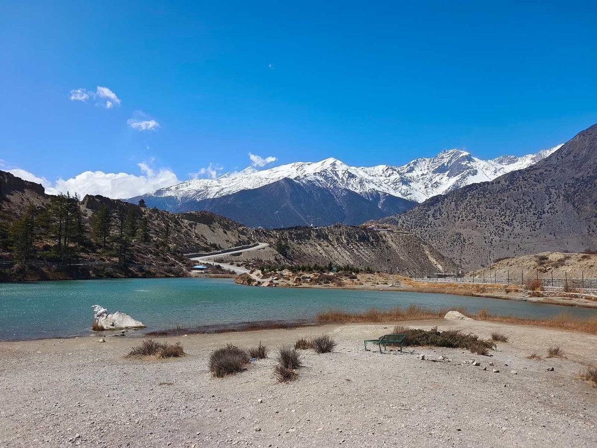
Dhumba Lake
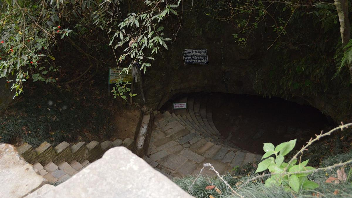
Dhumba Lake lies near Thini at the foot of Nilgiri, at 2,830 m according to ekantipur (other published figures differ), about an hour's walk from Jomsom. Buddhists and Hindu pilgrims consider it sacred, and its fish are not eaten.
Marpha
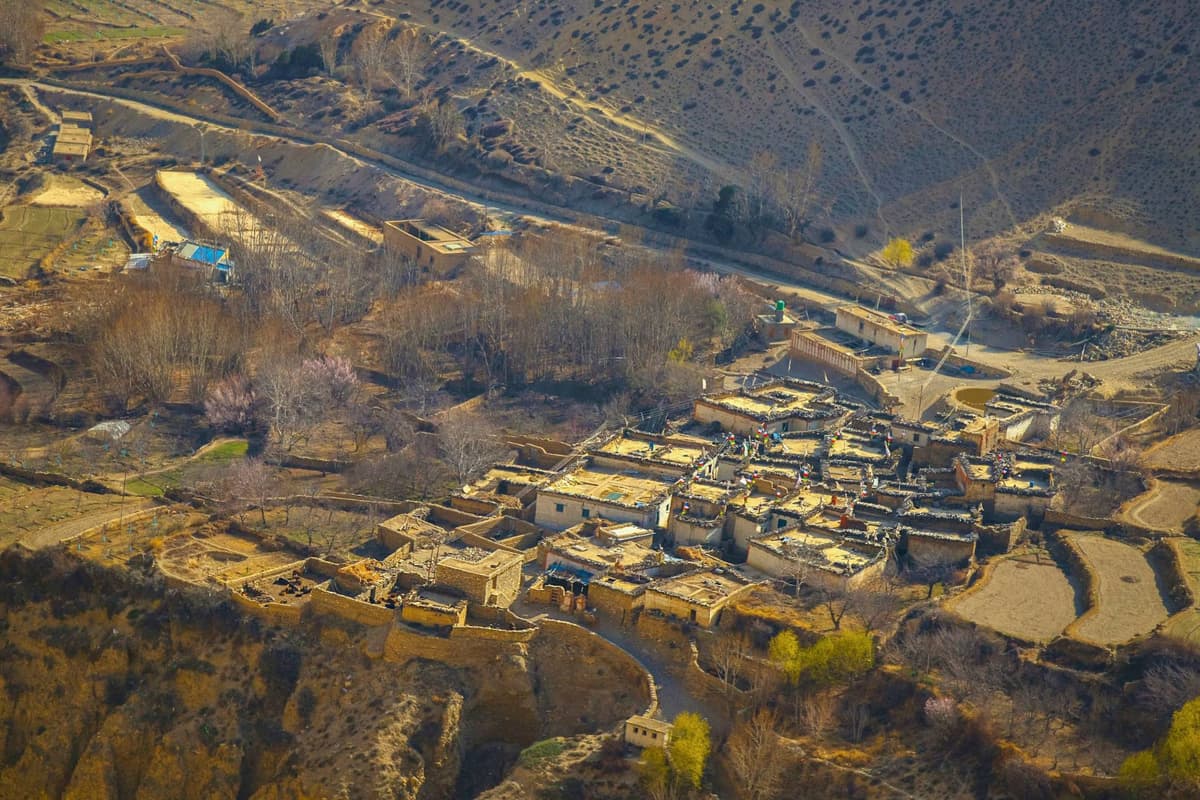
Marpha has long been renowned as the "apple capital of Nepal" (The Kathmandu Post). Apple growing took off after the government set up an agricultural outpost near the village about fifty years before 2019, and the brandy is distilled from fermented apples. The villagers are Thakali, and a Nyingma monastery stands above the village.
Kagbeni
Kagbeni, 13 km from Jomsom by road and at about 2,800 m, lies on the old trail from Jomsom to Lo Manthang, the royal capital, near the junction with the trail to Muktinath. Its monastery, Kag Chode Thubten Sampheling, is a Sakya monastery founded in 1429, according to Lonely Planet.
Muktinath as a day trip
Muktinath is about 25 km from Jomsom by road: 13 km to Kagbeni, then a 12 km asphalt road up to the temple, according to Nepali press reports. Operators quote about 45 minutes to 1.5 hours by jeep. Vehicles stop at Ranipauwa, where the road ends, and you walk up, or ride a horse, to the temple gate.
NTB says of Muktinath: "The site is sacred to both Hindus and Buddhists." Pilgrims bathe at 108 sacred waterspouts, and in the nearby Jwala Mai temple, which both faiths hold sacred, an eternal blue flame keeps burning. Ranipauwa takes its name from a pilgrims' rest house that King Rana Bahadur Shah built in 1863 BS (about 1806 AD) in memory of his youngest queen.
Coming back down to sleep in Jomsom is gentler than sleeping at Muktinath the night you arrive from Pokhara. Our Muktinath Temple guide covers the temple in depth.
North to Lo Manthang
Lo Manthang, capital of the former Kingdom of Lo, "was constructed in the 15th Century on a plateau at 3800 meters above sea level", according to Nepal's UNESCO submission, and it sits on the tentative list, not the World Heritage List. It is inside the restricted area (see the FAQ below).
Thakali culture in the Thak Khola
The Thakali are the main community along the Kali Gandaki in Lower Mustang, the Thak Khola. Thini is known as their place of origin, and Marpha's villagers are Thakali too. North of Kagbeni the culture shifts: the Lopa of Upper Mustang (also written Lowa or Loba) follow Tibetan Buddhism. What you can see:
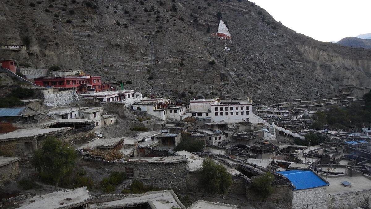
- Monasteries of different schools. The monastery above Marpha is Nyingma; Kagbeni's Kag Chode Thubten Sampheling is Sakya.
- A Bon village. Lubra (Lupra) is the only village in Mustang where everyone still practises Bon, and anthropologist Charles Ramble calls its monastery the first Bonpo monastery founded in Nepal (Al Jazeera, June 2026).
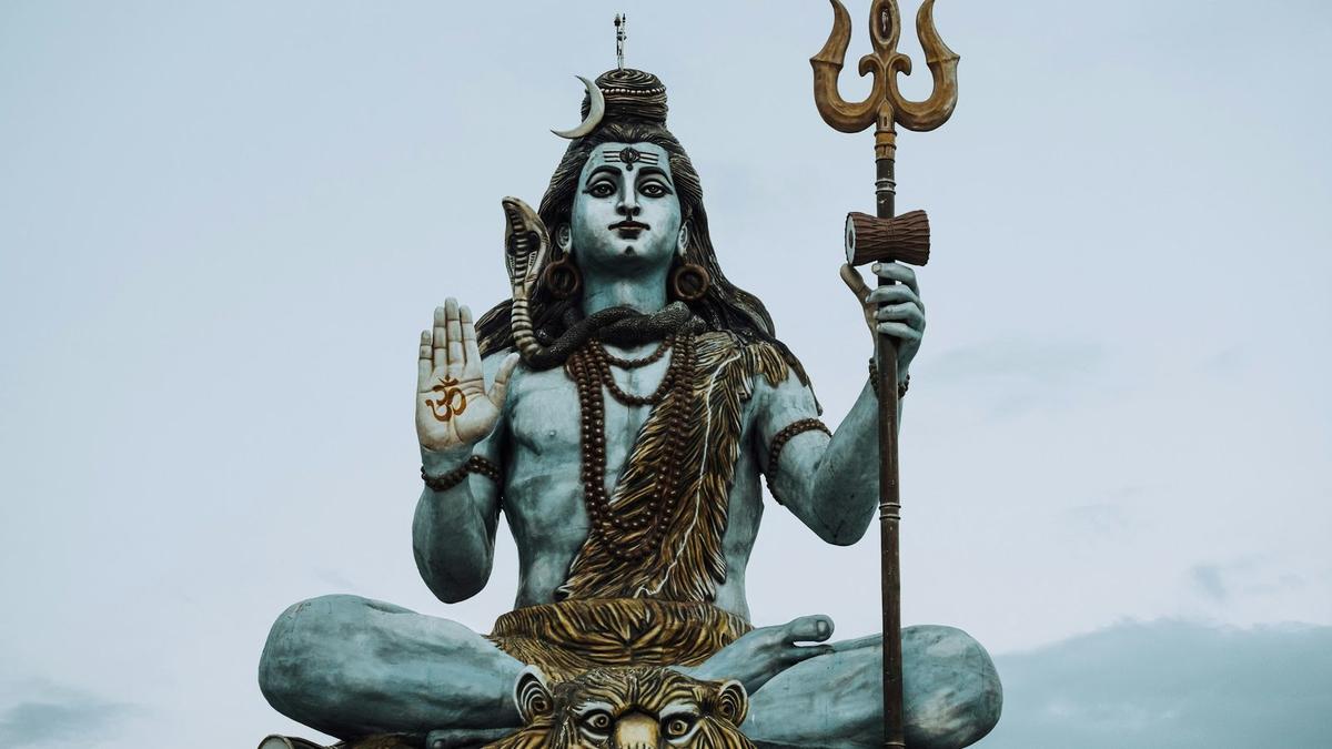
- A shared holy place. Muktinath draws Hindus and Buddhists alike, and most of Mustang's foreign visitors come from SAARC countries, mainly India (ACAP's Jomsom office).
- Yartung. This summer festival at Ranipauwa, around Janai Purnima, has a horse race; in 2024 it ran from 15 to 19 August (The Himalayan Times).
Ask before you photograph people, and ask before taking pictures inside monasteries.
Jomsom weather and the best time to visit
NTB says Nepal's clearest skies come after the monsoon, in October and November, and ACAP's Lo Manthang office names October and April as Upper Mustang's peak months. Jomsom is dry: about 292 mm of rain and snow a year, against 3,868.3 mm in Pokhara (DHM normals). Mustang itself stays fairly dry in the monsoon, but the road below it is hard hit.
Jomsom station, 2,741 m, DHM 1991 to 2020 normals. Muktinath is about 1,000 m higher and colder.
| Month | Jan | Feb | Mar | Apr | May | Jun | Jul | Aug | Sep | Oct | Nov | Dec | Year |
|---|---|---|---|---|---|---|---|---|---|---|---|---|---|
| Mean daily max (°C) | 10.4 | 11.8 | 15.2 | 18.6 | 20.6 | 22.6 | 22.8 | 22.6 | 21.3 | 18.0 | 14.8 | 12.3 | 17.6 |
| Mean daily min (°C) | −1.9 | −0.6 | 2.0 | 4.4 | 7.8 | 12.1 | 14.1 | 13.8 | 11.5 | 5.5 | 1.5 | −1.2 | 5.8 |
| Precipitation (mm) | 14.4 | 21.2 | 30.4 | 21.4 | 18.6 | 31.8 | 46.8 | 43.9 | 36.0 | 18.2 | 4.6 | 5.1 | 292.4 |
- Autumn. November averages 4.6 mm of rain, with highs of 14.8 °C and nights of 1.5 °C, so pack warm layers.
- Winter. January averages 10.4 °C by day and minus 1.9 °C at night; the station's record low is minus 11.6 °C. Flights usually pause, and in late January 2026 snow blocked the Kagbeni to Muktinath road for two days.
- Spring. In 2026 Lo Manthang's Tiji festival began on 13 May and ran for three days (The Rising Nepal).
- Monsoon. It normally reaches Nepal around 13 June and withdraws around 2 October (DHM). July, Jomsom's wettest month, averages 46.8 mm. The problem is the road below.
"Being in the rain shadow area, Upper Mustang can be visited even during the rainy season."
Nepal Tourism Board, trade site, Annapurna Region page, checked 13 November 2026
After Cyclone Arnab. Heavy snow from the night of 30 October 2026 closed the Korala border checkpoint, and landslides blocked the Jomsom to Korala road in two places, one of them above Chhusang (Khabarhub, 31 October). On 5 November snow still lay on the road from Nhechung to the border (OnlineKhabar). We found no later report of closures between Jomsom and Muktinath, but ask us before you travel.
Permits for Jomsom, Kagbeni and Upper Mustang
For Jomsom, Marpha, Kagbeni and Muktinath you need only the Annapurna Conservation Area permit (ACAP): NPR 3,000 for foreign nationals, NPR 1,000 for SAARC nationals including Indians, and free for children under 10. North of Kagbeni you enter the Upper Mustang restricted area, which needs a separate permit, a registered agency and a licensed guide.
ACAP. The permit is good for one entry. Bought at a check post it costs double, and paying online adds a 2.9% gateway charge. It is checked along the route, including at Jomsom. We arrange the ACAP permit on our Mustang trips.
Where the line falls. Officially, the restricted area is Lomanthang Rural Municipality (wards 1 to 5), Lo-Ghekar Damodarkunda Rural Municipality (wards 1 to 5), and ward 3 of Baragung Muktichhetra Rural Municipality plus Satang village in its ward 5 (NTB). Kagbeni (ward 4) and Muktinath (ward 1) are not on the list. In plain words: the restricted area begins north of Kagbeni, with Chhusang and everything beyond it inside.
The Upper Mustang fee. The Nepal Tourism Board's trekking permit page lists the restricted-area permit at USD 50 per person per day (checked 13 November 2026), and The Annapurna Express reported that you pay only for the days you actually spend inside the restricted zone. The daily fee replaced the old USD 500 fee for 10 days after a Cabinet decision reported in November 2025. NTB shows no SAARC rate. The Department of Immigration sets the fee and can change it, so ask us to confirm the fee for your dates. You need ACAP as well.
Solo travellers. Since 22 March 2026 a solo traveller can be issued a restricted-area permit, but the trip must still go through a registered trekking agency with a licensed guide (Department of Immigration rules, as reported by The Himalayan Times). Our Nepal trekking permits guide explains how the permits fit together. Your Nepal visa is your own arrangement; see the Nepal Tourism Board tourist visa page.
Altitude and your health
Jomsom and Muktinath are both above about 2,450 m (8,000 ft), the sleeping height at which the CDC says altitude illness can affect anyone. The NHS advises: "try not to travel from an altitude that's less than 1,200 metres to an altitude that's more than 3,500 metres in 1 day". A flight to Jomsom and a jeep to Muktinath, or a helicopter, can do exactly that, so sleep in Jomsom first.
- Go up slowly. Above 3,000 m (about 9,840 ft), do not raise your sleeping height by more than about 500 m a night, and take a rest day every 3 to 4 days.
- Walk slowly: bistarai, bistarai, as we say in Nepali.
- Drink enough water, and avoid alcohol for the first days at height, Marpha brandy included.
- Know the symptoms: headache, nausea, tiredness, poor sleep.
- Never go higher with symptoms, and go down if they get worse.
- Ask your doctor before the trip about preventive medicine, for example acetazolamide.
Garlic soup and other hot soups are a comforting local tradition that helps you drink more, not a proven cure. Severe symptoms, such as confusion, breathlessness at rest or unsteady walking, mean you descend at once and get medical help; our team arranges a rescue if needed. Mustang's provincial hospital in Jomsom is the district's only hospital, officially 25 beds, and it sees altitude-sickness cases among visitors to Muktinath; there is also a health unit at Muktinath. More in our altitude sickness guide.
Our Mustang trips through Jomsom
All three of our Mustang trips use Jomsom as the base, and none relies on the suspended Pokhara to Jomsom flight.
- 4 days by road. The Mustang and Pokhara Tour by Road goes Kathmandu to Pokhara, then to Jomsom via Marpha. The next day covers Muktinath, Kagbeni and Dhumba Lake, and the last day drives back to Pokhara via the Tatopani hot springs.
- 5 days by flight and road. On the Mustang Tour by Flight and Road you fly Kathmandu to Pokhara (with the World Peace Pagoda and Pumdikot), then follow the same Jomsom, Muktinath, Kagbeni and Dhumba Lake route by road, and fly back. The only flights are Kathmandu to Pokhara and back.
- 7 days to Upper Mustang. The Upper Mustang Tour by Road runs Kathmandu to Pokhara, Jomsom via Marpha, then Lo Manthang via Muktinath, with a day to the Korala border and the Chhoser caves. You return via Kagbeni and Dhumba Lake to Jomsom, and the trip ends in Pokhara.
One honest note: on the 7-day trip the night after Jomsom (2,736 m) is spent in Lo Manthang (about 3,800 m), a rise in sleeping height of about 1,000 m in a day, more than the 500 m a night guideline above 3,000 m, and Korala is at about 4,660 m (about 15,290 ft). It suits healthy travellers who have seen their doctor.
Frequently asked questions
How do I get from Jomsom to Lo Manthang, and is the road open?
You drive north from Jomsom through Kagbeni and Chhusang, with a restricted-area permit arranged through a registered agency and a licensed guide. Plan on most of a day on a rough road. Landslides blocked the Jomsom to Korala road in two places on 31 October 2026, during Cyclone Arnab, and on 5 November snow still lay between Nhechung and the Korala border, north of Lo Manthang, so check with us the week you go.
What is the difference between Upper and Lower Mustang, and do I need the special permit for both?
No, only Upper Mustang needs the special permit. Lower Mustang, including Jomsom, Marpha, Kagbeni and Muktinath, needs only the ACAP permit. Upper Mustang begins north of Kagbeni and needs ACAP plus a restricted-area permit, which NTB lists at USD 50 per person per day inside the area. Ask us to confirm the fee for your dates.
When is the best time to visit Mustang, and can I go in the monsoon?
October and November give Nepal its clearest skies, according to NTB, and ACAP's Lo Manthang office names October and April as Upper Mustang's peak months. You can go in the monsoon: NTB says Upper Mustang "can be visited even during the rainy season", and Jomsom's wettest month averages only 46.8 mm. The catch is the road below Jomsom, which floods and slides in the monsoon.
Is Mustang suitable for older travellers given the altitude?
Often yes, but your health matters more than your age. The CDC says people over 50 have slightly less risk of altitude illness, yet anyone with coronary artery disease or chronic lung disease should first see a doctor who knows high-altitude medicine. UK guidance (TravelHealthPro) strongly recommends a pre-travel medical assessment for anyone with a pre-existing condition, ideally at least 6 to 8 weeks before departure, so ask your doctor before booking.
How high is Jomsom?
Jomsom Airport is 2,736 m (8,976 ft), according to the Civil Aviation Authority of Nepal, and the town sits at about 2,740 m (about 8,990 ft). That is above the CDC's 2,450 m (8,000 ft) threshold for altitude illness, and Muktinath is about 1,000 m higher again.
Plan your visit with us
Jomsom rewards a slow visit: a night or two in town, a walk to Dhumba Lake, an afternoon in Marpha and a day up to Muktinath. This November you will come by road, and regular flights are off until further notice. Read our Mustang guide if you are weighing Lower Mustang against the restricted north, then ask us on WhatsApp or through the enquiry form. We will tell you straight which trip fits your days.