By Uncover Nepal Guide · Checked by our Kathmandu travel team · Last checked 12 November 2026
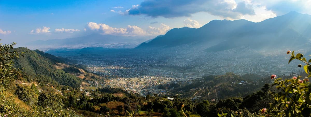
Stand on the Lakeside shore on a clear autumn morning and Machhapuchhre is already there, a white point above the green hills to the north. Climb any of the ridges around the lake and the rest of the range comes out from behind it, with the town and the water spread out below.
The best Pokhara viewpoints are Sarangkot for sunrise, the World Peace Pagoda for the lake, Kahun Danda for a quieter fort-top view, Pumdikot for its Shiva statue and Matepani Gumba for the city. The first four need no permit. Australian Camp adds a night in the hills, with a permit.
Our guide to things to do in Pokhara covers the whole city. This one compares the hills: how to get up from Lakeside, how long each takes, the best light, fees and what you see.
In this guide
- Key facts
- What are the best Pokhara viewpoints?
- Which Pokhara view point should you choose?
- Is Sarangkot worth the early start for sunrise?
- What is Kahun Danda like, and how do you get up?
- What is the Shiva statue at Pumdikot?
- Can you see the mountains from the World Peace Pagoda?
- Is Matepani Gumba worth the climb for a view of Pokhara?
- Where can you sleep with a mountain view near Pokhara?
- Which quieter viewpoints do the city and NTB list?
- When is the best time for a clear mountain view in Pokhara?
- How do you plan a viewpoint day?
- Frequently asked questions
- Plan your trip with us
Key facts
- Pokhara altitude
- About 820 m (Uncover Nepal standard figure; Wikipedia; checked 12 Nov 2026)
- Why the view is unusual
- Peaks above 6,000 m seen from about 800 m, within 28 km (Nepal Tourism Board, Pokhara page; checked 12 Nov 2026)
- Machhapuchhre
- 6,993 m (22,943 ft), about 25 km north of Pokhara, closed to climbing; NTB gives 6,997 m (Wikipedia; NTB Sarangkot page; checked 12 Nov 2026)
- Sarangkot
- 1,595 m (5,233 ft), ward 18 of Pokhara Metropolitan City, 11.3 km by road from Lakeside (Uncover Nepal standard figure; Wikipedia; NTB; checked 12 Nov 2026)
- Kahun Danda
- A little under or around 1,500 m; published figures range from 1,443 m to 1,520 m (Pokhara Metropolitan City; NTB trade site; checked 12 Nov 2026)
- Pumdikot Shiva statue
- 51 ft tall, cut from a planned 105 ft on Civil Aviation Authority advice (Republica, 20 Jan 2024; Pokhara Metropolitan City; checked 12 Nov 2026)
- Pumdikot location
- Ward 22, about 13 km from the city (Pokhara Metropolitan City; Ratopati English, 2 Feb 2026; checked 12 Nov 2026)
- World Peace Pagoda
- Free entry; open 6 am to 6 pm (Pokhara Metropolitan City, via our pagoda guide; checked 12 Nov 2026)
- Matepani Gumba
- Founded 1960 (2016 BS) by Nyeshang people from Manang; ward 11 (Pokhara Metropolitan City; Nepal Traveller, 25 Nov 2020; checked 12 Nov 2026)
- Permits
- None for Sarangkot, Kahun Danda, Pumdikot or the Peace Pagoda; ACAP for Australian Camp: NPR 3,000 foreign, NPR 1,000 SAARC (NTB park entry fees page; NTNC e-permit; checked 12 Nov 2026)
- Clearest skies
- October and November, after the monsoon (NTB climate page; checked 12 Nov 2026)
What are the best Pokhara viewpoints?
The classic Pokhara viewpoints are Sarangkot, the World Peace Pagoda, Kahun Danda, Pumdikot and Matepani Gumba, all within the city. The Nepal Tourism Board adds Thulakot, Naudanda and Ramkot for sunrise and sunset. For a bigger view with a night out, Australian Camp and Dhampus sit just inside the Annapurna Conservation Area.
The reason is distance. NTB puts it plainly: from Pokhara, "mountains above 6,000 m can be seen unobstructed from an altitude of 800 m within the distance of 28 km". The city sits at about 820 m, so even a modest hill lifts you above the rooftops and the haze.
"Sarangkot, Thulakot, Kahun Hill, Naudanda and Ramkot are great for mountain views, sunrise and sunset views."
Nepal Tourism Board, Mountain Views page (read 12 November 2026)
Pokhara Metropolitan City's own circuit, "Pokhara from the Bird-Eye", takes in Sarangkot, Kahundada, the Peace Pagoda, Pumdikot, Matepani Gumba for the city view, the Tutunga viewpoint, Mattikhan and Thulakot.
NTB describes the Annapurna massif as running east to west, taking in Annapurna I to IV and Annapurna South, with Dhaulagiri and Manaslu further away. For scale: Annapurna I is 8,091 m, Annapurna South 7,219 m, Dhaulagiri 8,167 m and Manaslu 8,163 m. The one peak you cannot miss is Machhapuchhre, 6,993 m (22,943 ft), about 25 km north of the city and closed to climbing. NTB says it "can be seen from anywhere in Pokhara".
Which Pokhara view point should you choose?
Choose Sarangkot for one classic sunrise, the Peace Pagoda if you want the lake and a boat ride, Kahun Danda if you like a walk and fewer people, and Pumdikot if you are already on the south side. The table compares them side by side, with each fee as published or marked where we found none.
| Viewpoint | How to get there from Lakeside | Time needed | Best light | Fee status | What you see |
|---|---|---|---|---|---|
| Sarangkot | By road, 11.3 km, at most 30 minutes' drive (NTB); or the Annapurna Cable Car from Sedi on the Phewa shore | A morning | Sunrise | No permit; no official fee published, check locally | Dhaulagiri to Machhapuchhre, Annapurna II and Lamjung Himal (NTB), with Phewa below |
| Kahun Danda | A short drive to the Yellow Bridge near Nadipur, then a walk up (one operator says 2 to 3 hours) | Half a day | Sunrise or sunset | No permit; no fee published | A ruined fort and view tower, the Seti River, the city and the mountains |
| World Peace Pagoda | Boat across Phewa, then about 45 minutes to an hour on foot; or about 30 minutes by taxi and a 10-minute walk | Half a day with the boat, less by taxi | Morning or late afternoon, inside the 6 am to 6 pm hours | Free entry | Phewa and Lakeside below, Machhapuchhre on a clear day |
| Pumdikot | By road, about 13 km from the city | A few hours, easily paired with the south side sights | Clear mornings (our view) | No permit; we found no published fee | The Shiva statue, the mountains, Sarangkot and Phewa |
| Matepani Gumba | Taxi to the east side of the city, about five km from Mahendrapul | A short visit | Any clear hour | A working monastery; we found no published fee | The monastery and a view over the city |
| Kaskikot and Naudanda | Walk on from Sarangkot, about three hours (NTB) | A full day | Morning | Not confirmed by us; ask before you go | Hill country west of the lake and the range on a clear day |
| Australian Camp | Drive to Kande, under an hour, then a short walk up | One night | Sunset and sunrise | ACAP permit: NPR 3,000 foreign, NPR 1,000 SAARC | The Annapurna range at close range |
Is Sarangkot worth the early start for sunrise?
Yes, on a clear morning. Sarangkot is the most visited of the Pokhara viewpoints for a reason: at 1,595 m (5,233 ft) it stands well above the lake, it is 11.3 km by road from Lakeside, and on a good day the whole skyline turns colour while the valley below is still dark.
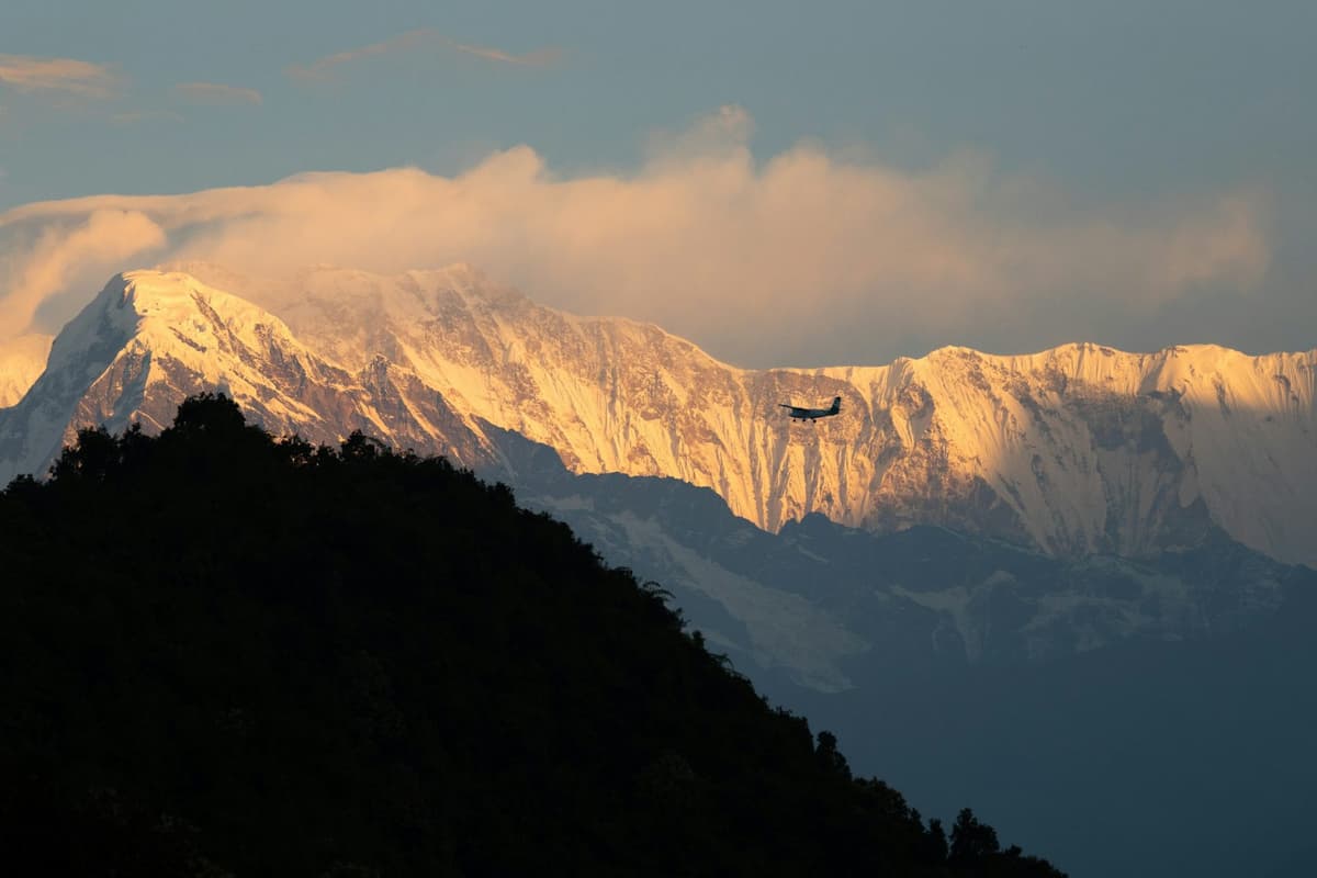
The hill is ward 18 of Pokhara Metropolitan City, with homes and lodges along the ridge. NTB sums up the classic visit: "Tourists drive up the hill to see the sunrise from the top of the hill's view tower." So expect some steps at the end, climbed in the dark.
NTB says the panorama "stretches from Dhaulagiri (8167m) in the west to Machhapuchhare (6997m), the tent-like peak of Annapurna II (7937m), and Lamjung (6983m) in the east". For Machhapuchhre, NTB gives 6,997 m; other sources give 6,993 m.
There are three ways up:
- By car or taxi. The simplest choice for sunrise. Book it the evening before and agree whether the driver waits at the top.
- By cable car. The Annapurna Cable Car runs from Sedi on the Phewa shore up to Sarangkot. Check its fare and hours, and whether the first ride is early enough for sunrise.
- On foot. Better in daylight than in the dark. A good plan is to drive up for sunrise and walk down afterwards.
Our Sarangkot guide covers sunrise by season, staying overnight and the weather by month.
Seeing the view from a paraglider
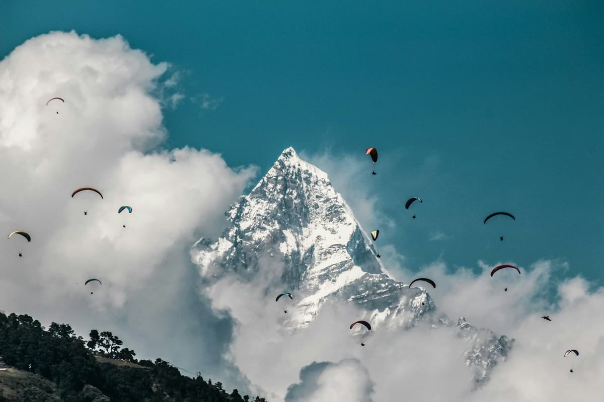
Paragliding shows you the same mountains from the air. Take-offs are at Sarangkot and Toripani, with landing at Khapaudi, as reported by Himal Press in May 2025. Flights run in the day, not at dawn, so you can watch sunrise first and fly later. Your operator confirms the take-off and pick-up the day before.
What is Kahun Danda like, and how do you get up?
Kahun Danda is a hill north-east of the city with a ruined fort on its summit and a view tower, looking over the Seti River and the mountains at sunrise and sunset. It is quieter than Sarangkot, and getting there usually means a walk, which is half the point.
How high is it? Kahun Danda is a little under or around 1,500 m; published figures range from 1,443 m to 1,520 m, and Pokhara Metropolitan City and NTB disagree. We found no published height for the tower.
The difference is the angle. Sarangkot looks along the range from the west of the lake; Kahun Danda looks from the north-east, across the town, and Pokhara Metropolitan City says Kahunkot gives views across the city's 33 wards. NTB's own list calls it "Kahun Hill".
Getting up takes a little planning. One operator describes a 2 to 3 hour walk up from the Yellow Bridge near Nadipur, which it puts about 15 minutes' drive from Lakeside. That is an operator figure, not an official one, and your pace matters. Take water and leave enough daylight for the walk down.
What is the Shiva statue at Pumdikot?
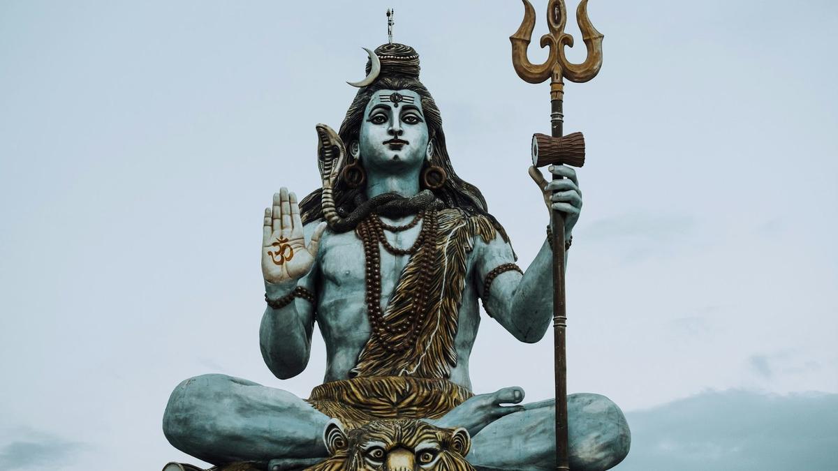
Pumdikot is a hilltop in ward 22 of Pokhara Metropolitan City, about 13 km from the city, with a seated statue of Shiva 51 feet tall. It looks over Phewa Lake and back towards Sarangkot and the mountains, so it works as both a temple visit and a viewpoint.
"The 51-feet tall giant statue of Lord Shiva built at Pumdikot with the active participation of the public has become an attractive tourist destination of Pokhara at present."
Republica, 20 January 2024
The statue could have been much taller. The committee first planned a 105-foot statue but built it at 51 feet on the advice of the Civil Aviation Authority of Nepal, for aviation safety. The committee told OnlineKhabar that the statue was raised during the Covid-19 pandemic, after two fund-raising religious events. We found no completion year we trust.
Around the statue, Ratopati English describes a site of about 22 ropani (a Nepali land unit) with 108 Shiva lingas, a large damaru (the small drum Shiva holds) and a kalash (a sacred pot).
Pokhara Metropolitan City gives the hilltop as about 1,300 m; other figures online we could not confirm.
It is a place of worship, so dress modestly and follow any signs about shoes. On a hazy afternoon you will see the statue and the lake and little more. It sits on the same southern side as the Peace Pagoda, Davis Falls and Gupteshwor Cave, so it pairs well with a south-side day.
Can you see the mountains from the World Peace Pagoda?
On a clear day, yes, but the pagoda's real view is the lake. The World Peace Pagoda stands on Anadu Hill above Phewa's south shore, so you look straight down on the water and across to Lakeside, with Machhapuchhre above the hills behind on a good morning.
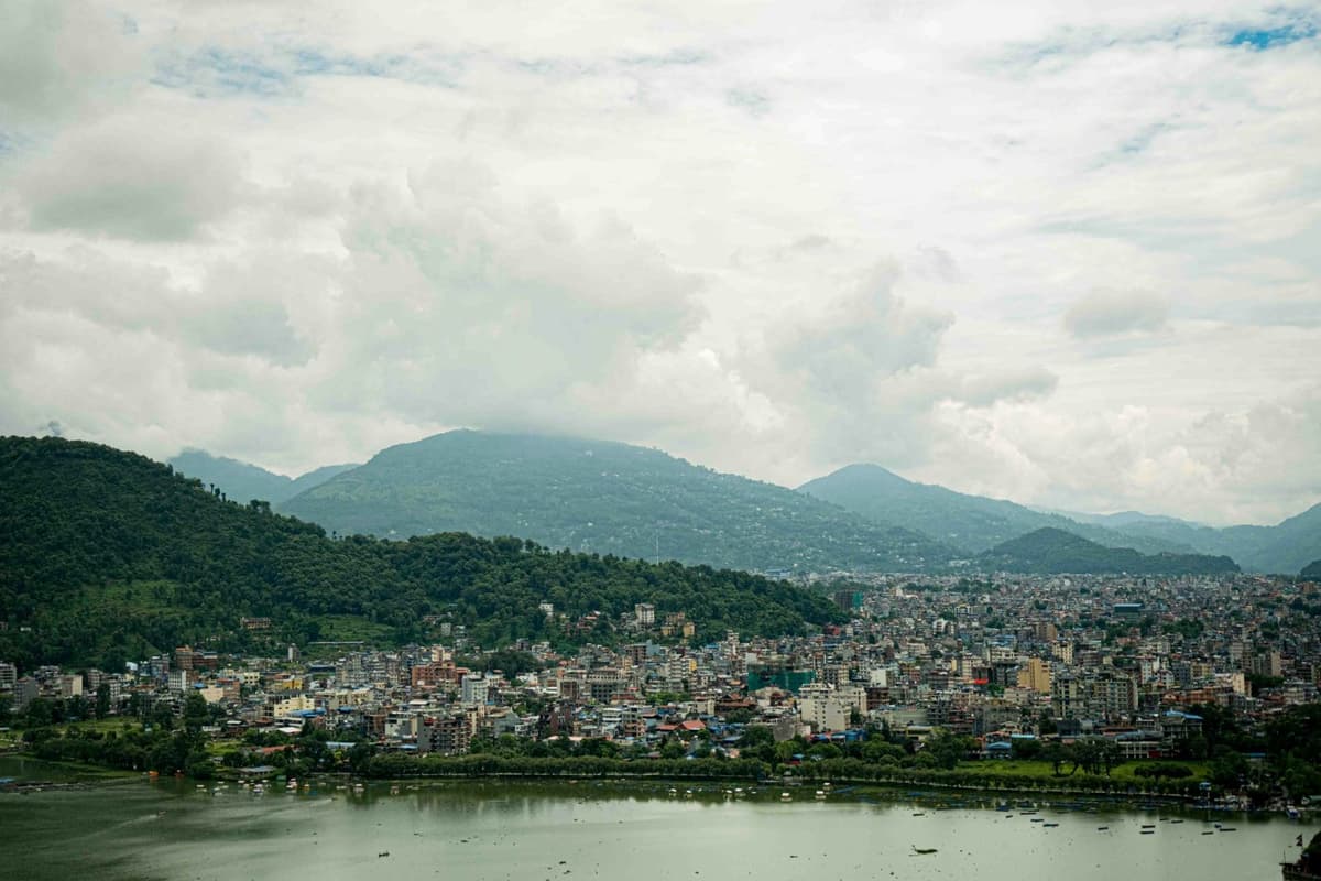
The stupa was built by the Japanese Buddhist order Nipponzan Myohoji. The foundation was laid in 1973 and it was inaugurated in 1999. NTB notes that it "has four images of the Buddha facing the four directions". Entry is free, and it is open from 6 am to 6 pm.
There are two easy ways up:
- By boat and on foot. Row across Phewa with a boatman, then climb through the Raniban forest, the forest on the slope below the pagoda, for about 45 minutes to an hour.
- By taxi. About 30 minutes from Lakeside on a paved road, then about a 10-minute walk.
For a wider mountain view, NTB points to the villages nearby: "Near the Peace Pagoda are Pumdi and Bumdi, two villages above Phewa Lake's southern rim for exceptional views of the mountains."
Our World Peace Pagoda guide covers the crossing and the trail in detail. The trails are unlit and the gates open at 6 am, so this is not a sunrise viewpoint. Come in the morning or late afternoon, and be down before the boats stop.
Is Matepani Gumba worth the climb for a view of Pokhara?
Yes, if you want a view of Pokhara itself rather than the mountains. Matepani Gumba is a Buddhist monastery on a small hill on the east side of the city, and Pokhara Metropolitan City lists it on its viewpoint circuit for the city view. It is a short visit, easy to add to a day in town.
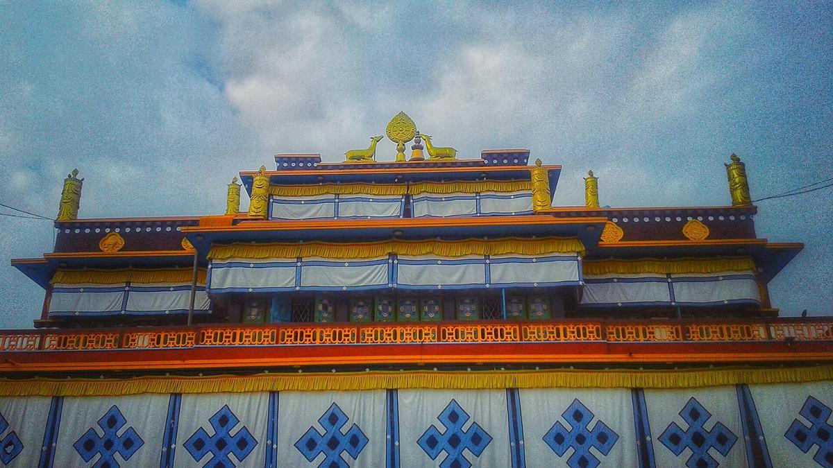
The monastery was founded in 1960 (2016 in the Nepali Bikram Sambat calendar) by Nyeshang people who had moved to Pokhara from Manang. It sits in ward 11, about five km from Mahendrapul.
It is a working monastery, not a ticketed viewpoint. Turn prayer wheels clockwise, ask before photographing monks or the hall's interior, and keep your voice down during prayers. Late afternoon gives softer light over the rooftops.
Where can you sleep with a mountain view near Pokhara?
Australian Camp and Dhampus are the easy answers. Australian Camp is a ridge-top camp at about 2,050 to 2,060 m and Dhampus a village at about 1,650 m, both inside the Annapurna Conservation Area. The trailhead at Kande is under an hour by road from Pokhara, and you get sunset and sunrise from the same spot.
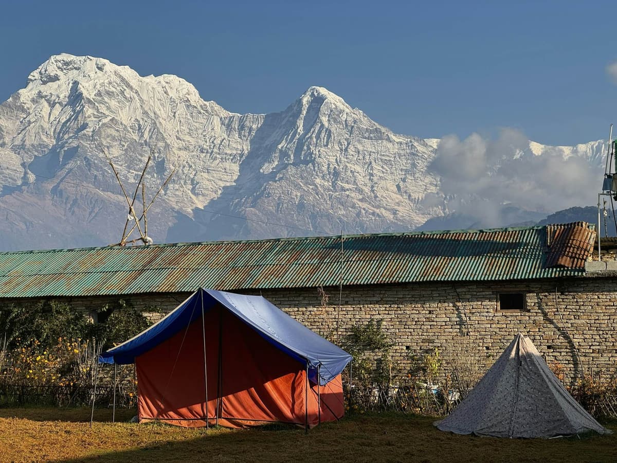
A night gives you two chances at a clear sky, the evening and the morning, instead of one. From Australian Camp the Annapurna range feels far closer than it does from any hill inside the city.
Both are inside the Annapurna Conservation Area, so you need the ACAP permit: NPR 3,000 for foreign visitors and NPR 1,000 for SAARC nationals, with children under 10 free. Both also sit below the 2,450 m height at which the CDC says mild altitude symptoms become possible, so this is a gentle first taste of the hills, not a trek at altitude.
If one night makes you want more, our guide to treks from Pokhara compares the longer walks.
Which quieter viewpoints do the city and NTB list?
Beyond the famous five, the city and NTB name several quieter hills: Thulakot, Kaskikot and Naudanda, Tutunga, Mattikhan and Ramkot. We have not checked access to all of them ourselves, so treat them as ideas to ask your driver or hotel about.
- Thulakot. Pokhara Metropolitan City lists it, in ward 28, for sunrise and sunset, with views of seven lakes and the Annapurnas.
- Kaskikot and Naudanda. NTB groups them as one viewpoint about 15 km west of Pokhara, about three hours' walk from Sarangkot. A good day walk on from Sarangkot after sunrise.
- Tutunga and Mattikhan. Both on the city's own viewpoint circuit.
- Ramkot. On NTB's list of hills for mountain views, sunrise and sunset.
When is the best time for a clear mountain view in Pokhara?
October and November give the best odds. NTB says "the clearest skies are found after the monsoon in October and November", and Pokhara's rainfall shows why: November averages just 17.2 mm of rain at the airport and December 11.5 mm, against 941.0 mm in July (1991 to 2020 normals).
The monsoon normally arrives around 13 June and withdraws around 2 October, though in recent years it has left later. In 2026 it fully withdrew on 14 October. Spring can be lovely too, but in our experience the mountains are more often softened by haze.
Two things matter as much as the month:
- Time of day. In our experience the mountains are clearest early, and cloud tends to build later in the day. That is why sunrise viewpoints exist.
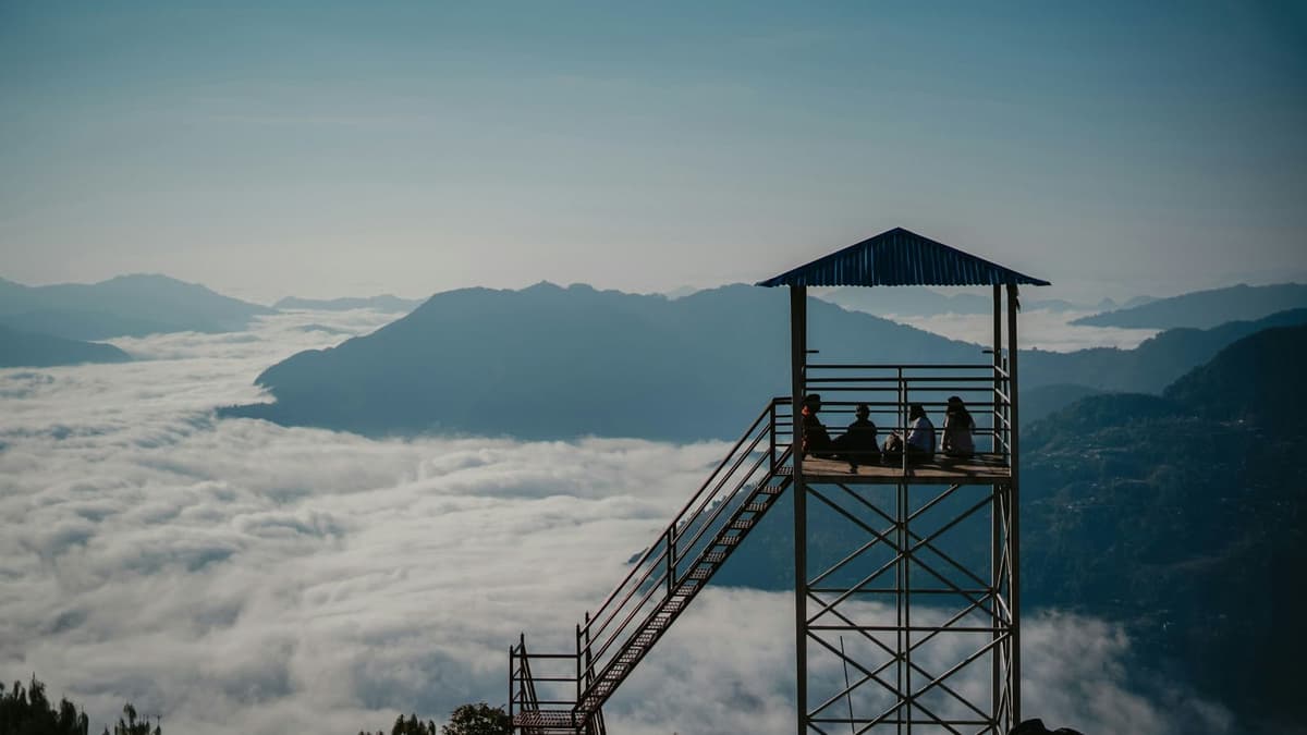
- Valley cloud. Some mornings cloud fills the valley. From a high viewpoint the hills rise above it; from the lake shore you may see only grey.
In the monsoon a clear dawn can still happen, but you cannot plan for it.
How do you plan a viewpoint day?
Plan around the weather, not the list. Pick one sunrise viewpoint and one afternoon viewpoint per day, keep a spare morning for cloud, and pair each hill with the sights near it. That pace leaves time for the lake, a long lunch and a slow walk back along Lakeside.
A simple order we often suggest:
- Day one, sunrise. Sarangkot at dawn, back to Lakeside for breakfast, then a boat on Phewa.
- Day one, afternoon. The Peace Pagoda by boat and on foot, or Pumdikot by taxi with Davis Falls and Gupteshwor Cave on the same side of town.
- Day two, a walk. Kahun Danda for sunset, or Matepani Gumba by day.
- A spare day, if you have one. A night at Australian Camp, or Sarangkot again if your first morning was cloudy.
Frequently asked questions
What can I do at Phewa Lake, and can I visit Tal Barahi?
Walk the shore for free, take a boat or paddleboard out, and cross to Tal Barahi, the island temple, which reopened for worship on 11 October 2026 after a rebuild begun on 26 October 2023. Under a District Administration Office Kaski directive of 25 June 2026, life jackets are compulsory, all water activities stop at 6 pm, and no one goes out after 2 pm in bad weather. No official fare list exists, so agree the price and return time at the counter. More in our Phewa Lake guide.
What time is sunrise at Sarangkot, and how do I get there?
Sunrise at Sarangkot is roughly 5:15 am in midsummer and about 7 am in midwinter, by our own calculation, with spring and autumn in between, so check the exact time the evening before and aim to be at the top while it is still dark. The peaks catch the first light before the sun clears the eastern hills. Most people drive the 11.3 km from Lakeside, which NTB says takes at most 30 minutes, in a car booked the night before. The Annapurna Cable Car runs from Sedi up to Sarangkot, but check whether its first ride is early enough for sunrise.
What is in the International Mountain Museum?
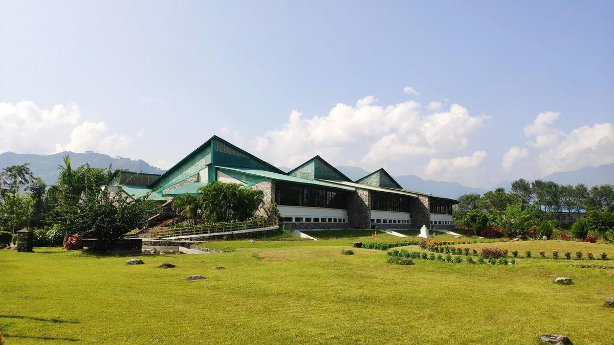
NTB says the museum has three main halls: the Hall of the Great Himalaya, the Hall of Fame and the Hall of World Mountains, plus a library. It is "situated 1.5 km south of Pokhara Airport at Rato Pairo" and "managed by the Nepal Mountaineering Association". Fees are NPR 750 foreign, NPR 350 SAARC, NPR 150 Nepali and NPR 80 students, as the museum's executive director told RSS in October 2025; there is no official fee page, so check at the counter. Our Mountain Museum guide has the details.
Do you need a permit for the Pokhara viewpoints?
Not for the city viewpoints. Sarangkot, Kahun Danda, Pumdikot and the World Peace Pagoda are all inside Pokhara Metropolitan City, and no permit is needed. Australian Camp and Dhampus are inside the Annapurna Conservation Area, so you need the ACAP permit: NPR 3,000 for foreign visitors and NPR 1,000 for SAARC nationals, with children under 10 free. Sarangkot may have a small local ticket; check the rate at the gate.
Can you get a mountain view in Pokhara without climbing a hill?
Yes, on a clear day. NTB says Machhapuchhre "can be seen from anywhere in Pokhara", and the Lakeside shore gives a good view across the water in the early morning. A hill adds width: from Sarangkot or Kahun Danda you see more of the range and the town below.
Plan your trip with us
For the rest of the city, from the lakes and caves to the museums and evenings in Lakeside, see our guide to things to do in Pokhara. If you would like the viewpoints built into a few easy days, look at our Australian Camp and Pokhara tour for a night in the hills, our Bandipur and Pokhara Lakeside tour, or our relaxed Pokhara and Bandipur tour from Kathmandu. Each page lists what is included.
Message us on WhatsApp or send an enquiry and we will reply with honest options.