By Uncover Nepal Guide · Checked by our Kathmandu travel team · Updated 09 Nov 2026
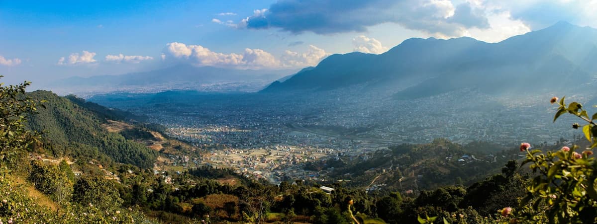
Stand at the top of the hill at Swayambhu early in the morning and the Kathmandu Valley lies open below you: a wide bowl of brick, concrete and pagoda roofs, closed in on every side by green hills. Prayer flags snap above the steps, monkeys patrol the railings, and the smell of incense and butter lamps drifts out of the shrines.
The Kathmandu Valley is a bowl of land in central Nepal, about 665 square kilometres in area, that holds three old royal cities, Kathmandu, Patan and Bhaktapur, and one UNESCO World Heritage property made of seven monument zones. Two days covers all seven at an easy pace; one long day covers them in a hurry.
Below you will find the valley's size, its history, the seven sites with their fees, and plans for one or two days. For more sights in and around the city, see our guide to places to visit in Kathmandu.
Key facts
- Area of the valley
- About 665 km² for the valley as a whole (ICIMOD, UNEP and environment ministry, Kathmandu Valley Environment Outlook (2007), 10 Nov 2026)
- Area of its three districts
- 899 km² (Kathmandu, Lalitpur, Bhaktapur) (Same 2007 report, 10 Nov 2026)
- Altitude
- Valley floor about 1,300 to 1,400 m; Kathmandu airport about 1,340 m (CAAN gives 1,339.5 m) (ICIMOD 2007; CAAN, 10 Nov 2026)
- UNESCO listing
- Inscribed in 1979 under criteria (iii), (iv) and (vi) (UNESCO World Heritage Centre, 10 Nov 2026)
- Heritage sites
- One World Heritage property made of seven monument zones (UNESCO World Heritage Centre, 10 Nov 2026)
- Rebuilding after 2015
- 134 of 174 damaged structures in the World Heritage zones rebuilt by May 2025 (Department of Archaeology, via The Rising Nepal, 25 May 2025, 10 Nov 2026)
- Entry fees
- NPR 200 (Swayambhu) to NPR 2,000 (Bhaktapur) for foreign visitors from outside SAARC (Nepal Tourism Board heritage fees; Bhaktapur Municipality, 10 Nov 2026)
- Clearest skies
- October and November, after the monsoon (Nepal Tourism Board, 10 Nov 2026)
In this guide
- What is the Kathmandu Valley?
- What is the area of Kathmandu Valley?
- Kathmandu, Patan and Bhaktapur: the three cities
- A short history of Kathmandu Valley
- The seven heritage sites and their entry fees
- Tourism in Kathmandu Valley: tickets, transport and etiquette
- Kathmandu Valley sightseeing in one or two days
- When should you visit the valley?
- Frequently asked questions
- Plan your visit
What is the Kathmandu Valley?
The Kathmandu Valley is a bowl-shaped basin in Bagmati Province, ringed by the hills of the Mahabharat range, with its floor at about 1,300 to 1,400 m. It holds Nepal's capital and two other historic cities, Patan and Bhaktapur, spread across three districts: Kathmandu, Lalitpur and Bhaktapur.
To most visitors the whole valley is simply "Kathmandu", because the city has grown until the three old towns almost touch, but each still has its own palace, Durbar Square and festivals.
You land here too: Kathmandu's Tribhuvan International Airport sits on the valley floor at about 1,340 m (CAAN gives 1,339.5 m).
The rim hills and rivers
A 2007 ICIMOD report describes four hills that stand like forts around the valley: Phulchowki to the south-east, Chandragiri and Champa Devi to the south-west, Shivapuri to the north-west and Nagarkot to the north-east. The same report gives the highest ground in each district as 2,831 m in Lalitpur, 2,732 m in Kathmandu and 2,166 m in Bhaktapur.
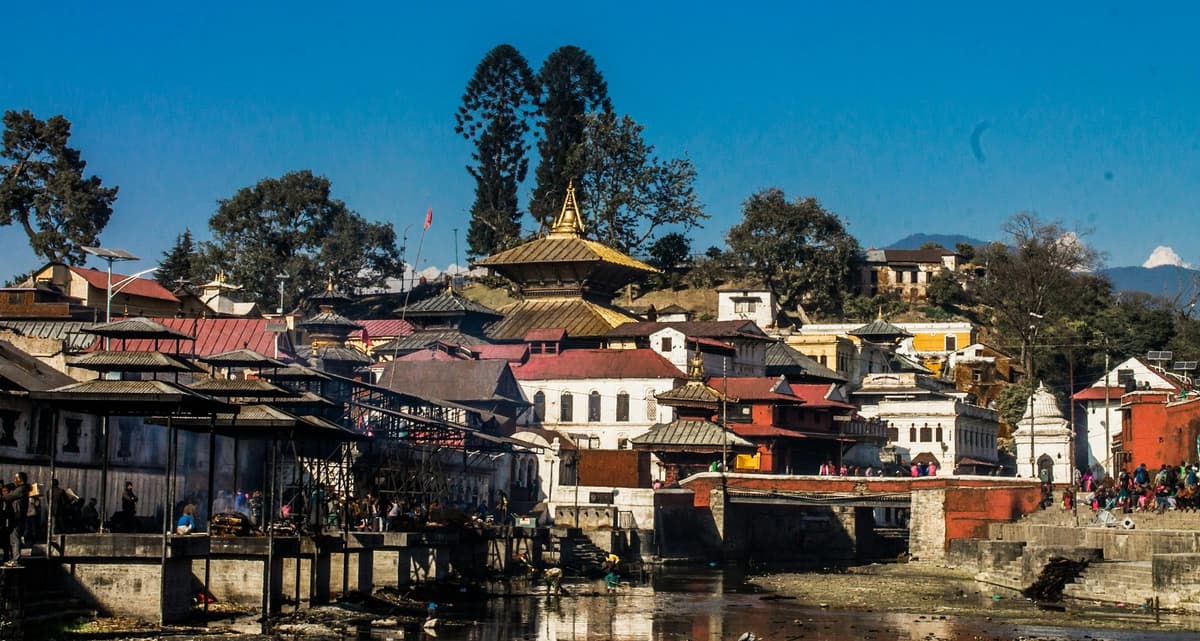
Three river systems drain the bowl: the Bagmati, the Bishnumati and the Manohara. The Bagmati is the river you will see at Pashupatinath, where the cremation ghats, the stone steps down to the water, line its banks.
What is the area of Kathmandu Valley?
The Kathmandu Valley covers about 665 square kilometres, according to the 2007 Kathmandu Valley Environment Outlook by ICIMOD, UNEP and Nepal's environment ministry. Its three districts, Kathmandu, Lalitpur and Bhaktapur, are larger, about 900 square kilometres together, because parts of Kathmandu and Lalitpur districts lie outside the valley rim.
The same report puts the three districts at 899 km² and explains the gap: the valley takes in all of Bhaktapur district, 85% of Kathmandu district and 50% of Lalitpur district.
| Measure | Area | What it covers |
|---|---|---|
| The valley | About 665 km² | The basin inside the rim hills (ICIMOD, UNEP and environment ministry, 2007) |
| The three districts | 899 km² | All of Kathmandu, Lalitpur and Bhaktapur districts (same report) |
Why you see different figures
Some reference pages label 665 km² as the area of the UNESCO World Heritage Site. It is not: 665 km² is the whole basin, while the World Heritage property is seven monument zones inside it. Other pages add up the 2021 census district areas, which come to a little more than the 2007 district total.
How many people live in the valley?
We have not found a reliable official count for the valley alone, because the census counts districts and the district lines do not follow the rim. For Kathmandu district, the 2021 census counted 2,017,532 people, as the Kathmandu Post reported in March 2022. Remember that part of that district lies outside the valley.
Kathmandu, Patan and Bhaktapur: the three cities
The valley's "three ancient cities", as the Nepal Tourism Board calls them, are Kathmandu, Patan and Bhaktapur. NTB says they were once independent states ruled by the Malla kings from the 12th to the 18th centuries. Each kept its own palace and Durbar Square, the square in front of a Durbar, or royal court.
Kathmandu: the capital and its Durbar Square
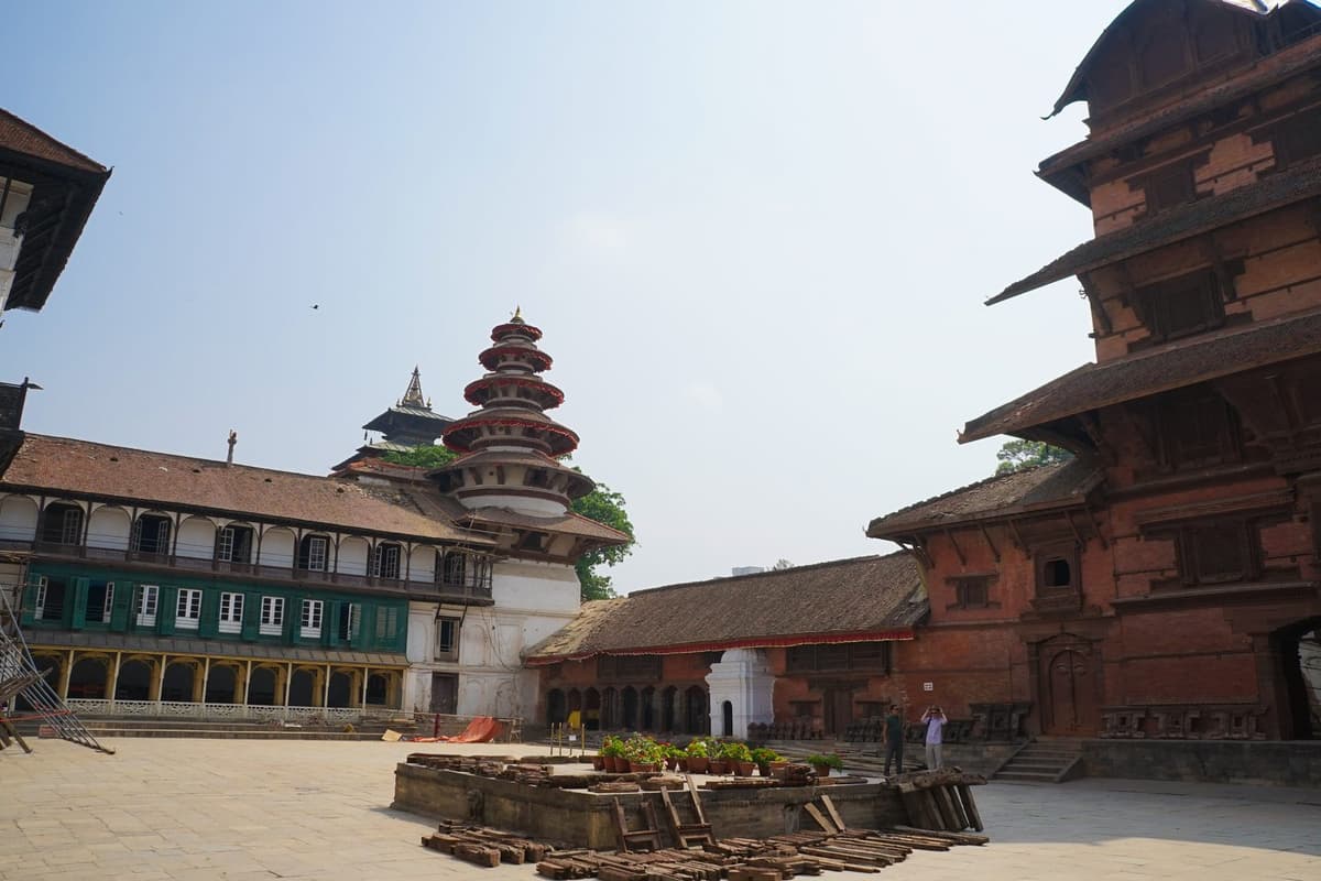
Kathmandu is the biggest of the three. Its royal square, Kathmandu Durbar Square, is also called Hanuman Dhoka, after the palace, or Basantapur. NTB describes the square as two courtyards, with Kasthamandap, the Kumari Ghar (the house of the Kumari, a girl worshipped as a living goddess) and the Shiva-Parvati Temple in the outer one.
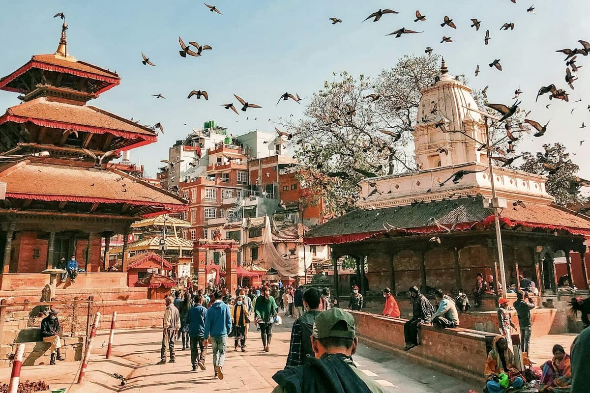
The city is said to take its name from Kasthamandap: kastha means wood and mandapa means pavilion. It was a wooden public rest house, a sattal, used by merchants on the trade route between India and Tibet. It collapsed in the earthquake of 25 April 2015, and the rebuilt pavilion was inaugurated on 4 April 2022. Read its full story in Kasthamandap: the temple that named Kathmandu.
Your square ticket includes the palace museum, open 9 am to 5 pm with tickets sold until 4:30 pm; the open square has no published hours. Indra Jatra, an eight-day festival usually held in September, fills the square every year. Our full guide to Kathmandu Durbar Square walks you round it temple by temple.
Patan, the city of Lalitpur
Patan lies about 5 km south-east of central Kathmandu, and the two cities now run into each other. Its district and city carry the name Lalitpur, so you will see both names on signs. Patan Durbar Square is a dense cluster of tiered temples, stone lions and palace courtyards, and the ticket includes the Patan Museum.
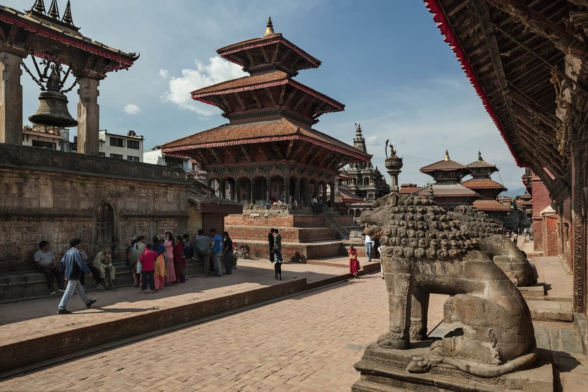
The 2015 earthquake hit Patan hard: in June 2015 Christian Manhart of UNESCO said, "Half of the temples in Patan Durbar Square have collapsed." Read our Patan Durbar Square guide for what to see and how long to give it.
Bhaktapur, the old Bhadgaon
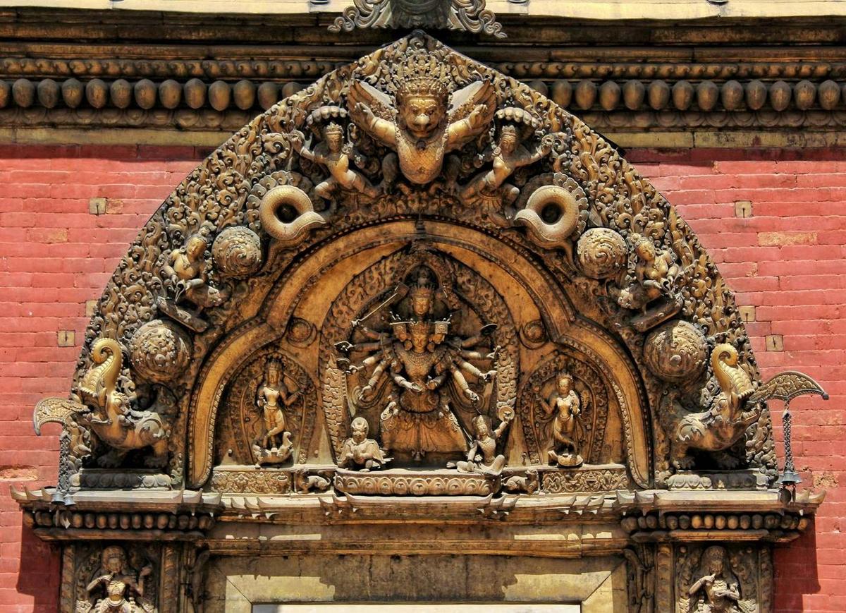
Bhaktapur is the furthest east of the three, about 12 km from central Kathmandu. You will also meet its old name, Bhadgaon, which Britannica uses in its account of the 1769 conquest. In its Durbar Square you walk past the Golden Gate (Lu Dhowka), the gilded doorway into the old palace, and the statue of King Bhupatindra Malla on top of a stone pillar.
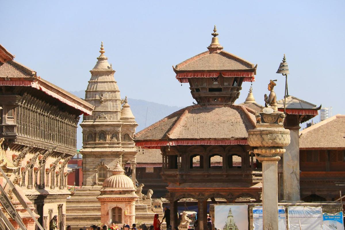
Its fee is the highest of the seven zones, set by the municipality since 17 July 2025 (see the fee table below). Our guide to Bhaktapur Durbar Square covers the square, the palace and the temples around it.
A short history of Kathmandu Valley
The history of Kathmandu Valley runs from a lake legend through two great dynasties, the Licchavi and the Malla kings, to unification under Prithvi Narayan Shah of Gorkha in 1768 and 1769. UNESCO listed its monuments in 1979; the 2015 earthquake damaged all seven zones, and most damaged structures have since been rebuilt.
A lake, in legend and in geology
The Nepal Tourism Board tells the story that the valley "was once a primordial lake", and that Manjushree, a figure of Buddhist tradition, cut through the hillside at Chobar to let the water out. The Swayambhu Purana, a Buddhist text, tells the same legend. Geologists have found that a lake really did fill the basin long ago, and they call it Paleo Kathmandu Lake (Sakai and colleagues, Himalayan Journal of Sciences, 2008).
Licchavi and Malla kings
The Licchavi kings ruled the valley from about the 4th or 5th century to the late 9th century; NTB gives 300 to 879 AD and says that under them "flourished trade and crafts". By tradition, Raja Gunakamadeva founded Kathmandu in 723 (Britannica).
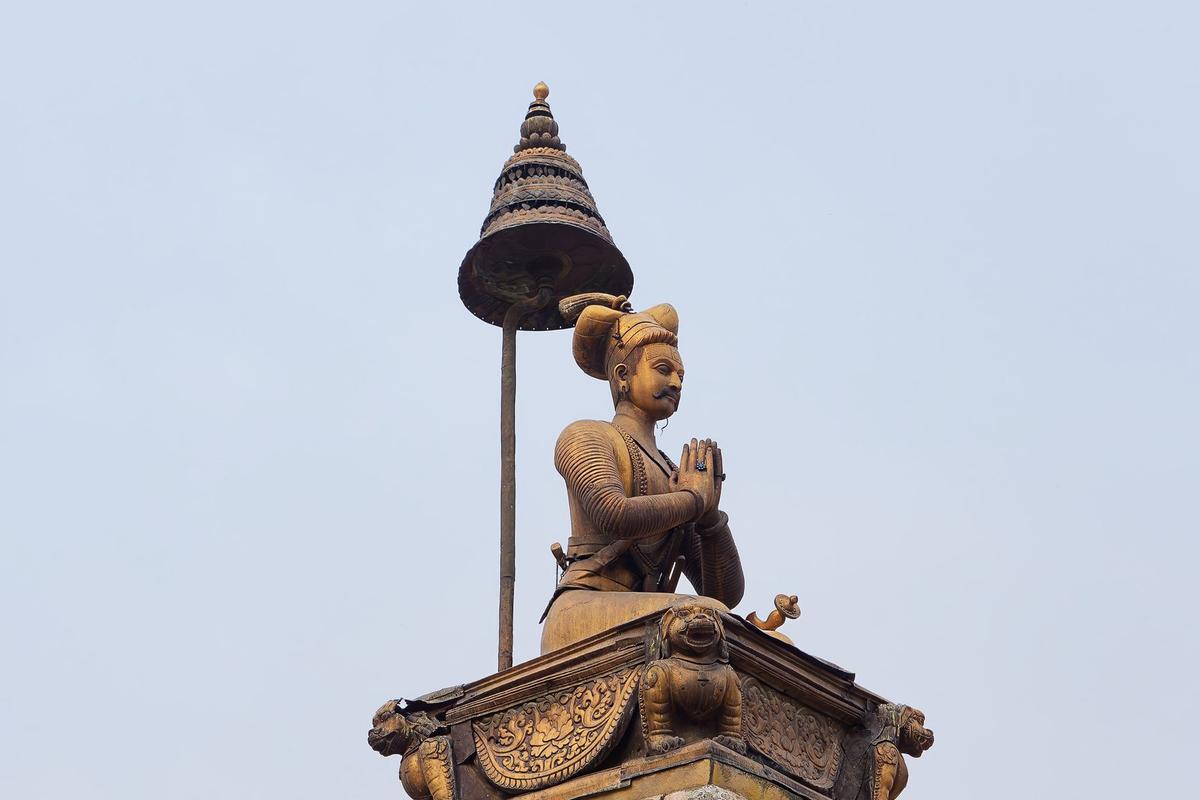
Under the Malla kings, each of the three courts built its own palace and temples. UNESCO says the valley's building tradition "reached an apogee between 1500 and 1800 AD", and credits the valley with "one of the most highly developed craftsmanship of brick, stone, timber and bronze in the world".
"The coexistence and amalgamation of Hinduism and Buddhism with animist rituals and Tantrism is considered unique."
UNESCO World Heritage Centre, Kathmandu Valley listing, read 10 November 2026
Unification under Prithvi Narayan Shah
Prithvi Narayan Shah of Gorkha took Kathmandu during Indra Jatra in 1768, and the Malla king Jaya Prakash Malla fled to Patan (Kathmandu Post). By 1769 Prithvi Narayan Shah had the three Malla kingdoms, which Britannica says he consolidated "to found the modern state of Nepal".
UNESCO, the danger list and the 2015 earthquake
UNESCO inscribed the Kathmandu Valley on the World Heritage List in 1979, under criteria (iii), (iv) and (vi). The valley "joined the Danger List in 2003, from the impact of urban development", as UN News put it. In 2006 the World Heritage Committee accepted a boundary modification for the seven monument zones, and on 25 June 2007 the valley came off the danger list, with the Committee praising Nepal for its efforts.
The Gorkha earthquake of 25 April 2015 measured magnitude 7.8 (USGS) and killed nearly 9,000 people across Nepal (AP). By July 2015 the Kathmandu Post counted 745 damaged monuments in 20 districts, 133 of them destroyed, with all seven valley zones hit. That month the World Heritage Committee, meeting in Bonn, decided not to put the valley on the danger list, against its advisers' recommendation.
Boudhanath reopened on 22 November 2016, the first major monument rebuilt after the quake. By May 2025 the Department of Archaeology counted 174 damaged structures in the World Heritage zones of Kathmandu, Lalitpur and Bhaktapur: 134 rebuilt, 16 under way and 24 not yet begun (The Rising Nepal). So you will still see the odd scaffold.
The seven heritage sites and their entry fees
The Kathmandu Valley World Heritage property is "inscribed as seven Monument Zones", in UNESCO's words: three Durbar Squares (Kathmandu, Patan and Bhaktapur), two Buddhist stupas (Swayambhu and Boudhanath) and two Hindu temples (Pashupati and Changu Narayan). It is one World Heritage Site, not seven, and each zone sells its own ticket.
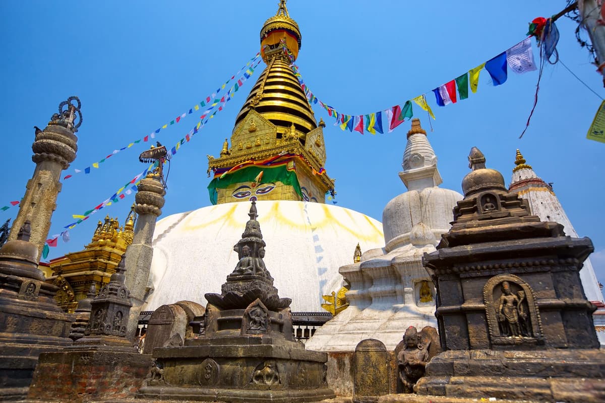
A stupa is a dome-shaped Buddhist monument you walk around rather than into. Distances below are rough, measured from central Kathmandu:
- Kathmandu Durbar Square (Hanuman Dhoka): the royal square in the centre of the old city.
- Patan Durbar Square: about 5 km south-east, in Lalitpur.
- Bhaktapur Durbar Square: about 12 km east.
- Swayambhunath: a stupa on a hillock about 3 km west, known to visitors as the Monkey Temple. See our Swayambhunath guide.
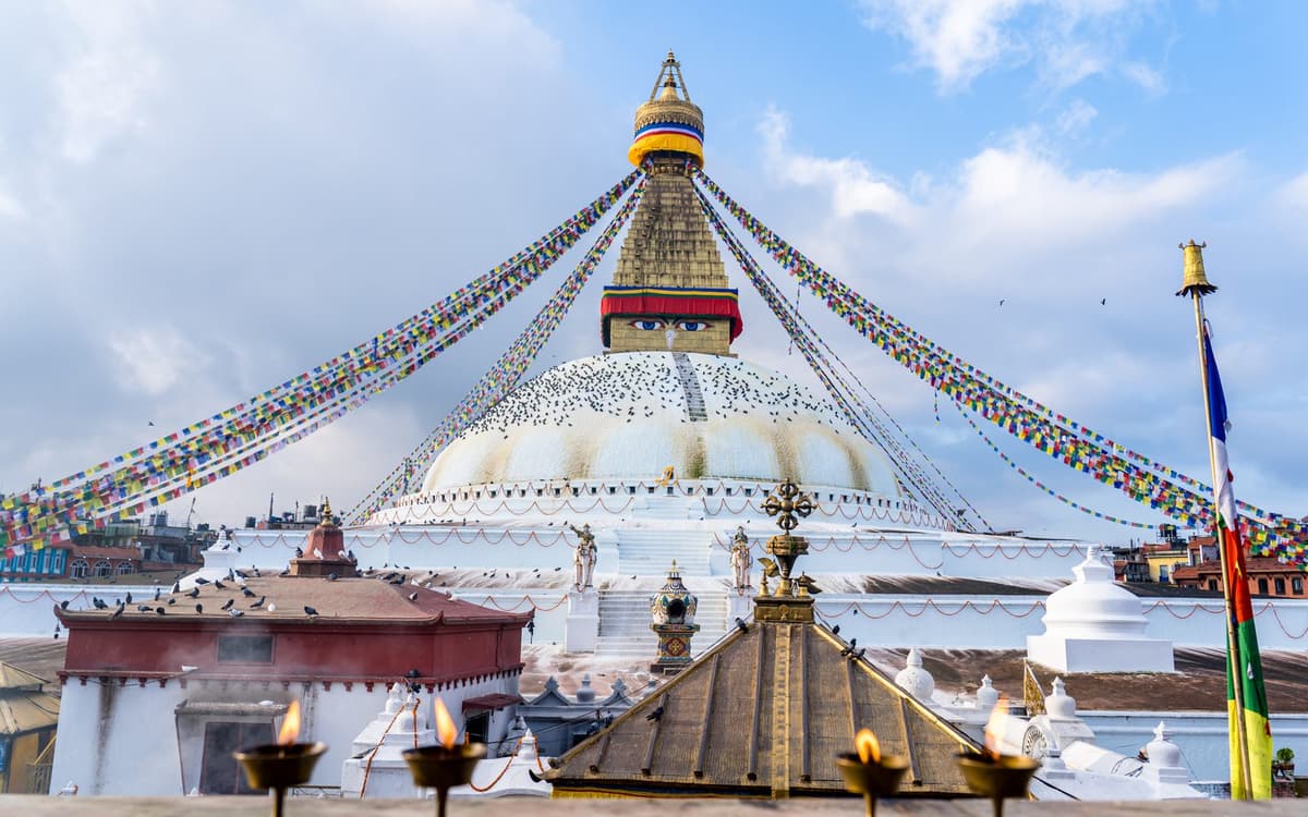
- Boudhanath: about 8 km east. UNESCO says Boudhanath "includes the largest stupa in Nepal", and NTB calls it "the center of Himalayan Buddhism". See our Boudhanath Stupa guide.
- Pashupatinath: about 5 km east, the great Hindu temple of Shiva on the Bagmati. Only Hindus may enter the main temple. See our Pashupatinath Temple guide.
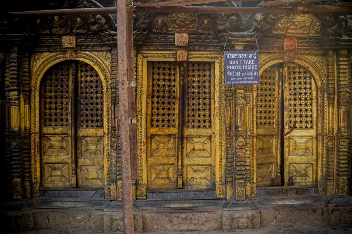
- Changu Narayan: about 12 km east, a temple of Vishnu (Narayan) on a ridge above Bhaktapur, where the carved, gilded doors are worth a close look.
Entry fees for the seven monument zones
Each site's authority sets its own fee, and fees change, so treat this table as a guide. SAARC nationals are citizens of the South Asian countries.
| Monument zone | Foreign visitors | SAARC nationals | Notes |
|---|---|---|---|
| Kathmandu Durbar Square | NPR 1,000 | NPR 500 | Chinese visitors NPR 1,000; Nepalis and children under 10 free; includes the palace museum |
| Patan Durbar Square | NPR 1,000 | NPR 500 | Chinese visitors NPR 500; includes the Patan Museum; check at the gate |
| Bhaktapur Durbar Square | NPR 2,000 | NPR 500 | Chinese visitors NPR 500; municipality fee since 17 July 2025 |
| Swayambhunath | NPR 200 | NPR 50 | |
| Boudhanath | NPR 400 | NPR 100 | |
| Pashupatinath | NPR 1,000 per day per entry | NPR 1,000; Indian nationals free | Nepalis free |
| Changu Narayan | NPR 300 or NPR 400 | NPR 100 or NPR 300 | Sources differ; check at the gate |
Fees are from the Nepal Tourism Board's heritage fees page (read 10 November 2026), except Bhaktapur's, which is the municipality's: NTB still shows an older figure. For Changu Narayan, NTB lists NPR 300, while an OnlineKhabar report of July 2025 gives NPR 400, and NPR 300 for SAARC nationals.
Tourism in Kathmandu Valley: tickets, transport and etiquette
Tourism in Kathmandu Valley runs on a few simple habits: buy each zone's ticket at its own booth on the way in, in Nepali rupees, and keep it until you leave, move between zones by taxi, ride app or private car, walk the old quarters, and follow temple etiquette.
We have not found an official count of visitors to the valley alone. For Nepal as a whole, preliminary figures put international arrivals in 2025 at 1,158,459 (Kantipur and the Kathmandu Post, citing the Nepal Tourism Board and the Department of Immigration).
Tickets and money
- Carry rupees in small notes. Counters do not always take cards.
- Keep every ticket until you leave the zone, because staff may ask to see it.
- Carry your passport if you are claiming the SAARC or Chinese rate.
Getting around
Taxis and ride apps are the usual way between zones. Pathao, inDrive and Yango operate here, along with local apps such as ZumZum and Sajilo. In April 2026 the Kathmandu Post described ride apps as working in "a legal grey area", and draft federal standards went out for comment that month; in August 2026 Ratopati reported they were still awaiting approval. We have not found an approved fare table, so we quote no fares. Agree the fare before you get into a taxi.
The old quarters are best on foot. From Thamel you can walk to Kathmandu Durbar Square through Asan and Indra Chowk, two of the old market squares. If you would rather not deal with traffic at all, ask us about a private car and driver for the day.
Temple etiquette
- Take your shoes off where asked, and at any shrine you step into.
- Walk clockwise around stupas and temples.
- At Pashupatinath, leave leather items such as belts and shoes outside the temple complex. Only Hindus may enter the main temple.
- Never photograph cremations or mourners on the ghats.
- Do not photograph the Kumari.
- Ask before you photograph anyone, including monks and people at prayer.
Kathmandu Valley sightseeing in one or two days
For Kathmandu Valley sightseeing, two days covers the seven monument zones at an easy pace: one day for the four zones in and around Kathmandu, one for Patan, Bhaktapur and Changu Narayan. One day covers all seven only in a hurry, with about an hour at each Durbar Square, which is how our seven-site day tour runs.
These plans give an order, not a timetable; allow extra time for traffic.
One day
- Boudhanath first, while people are walking the morning kora, the clockwise circuit of the stupa.
- Pashupatinath, which is also east of the centre.
- Changu Narayan and Bhaktapur Durbar Square, both about 12 km east.
- Patan Durbar Square on the way back towards the city.
- Kathmandu Durbar Square.
- Swayambhu last, for the view over the valley in the late light.
That is a long day with little time to sit. Our Kathmandu UNESCO World Heritage sites day tour covers all seven this way. If you prefer to go slowly, choose the four zones in and around Kathmandu instead.
Two days
Day 1: Kathmandu and the eastern stupa and temple
- Boudhanath for the morning kora.
- Pashupatinath.
- Kathmandu Durbar Square, with time for the palace museum.
- Swayambhu for the late light.
Day 2: Patan, Bhaktapur and Changu Narayan
- Patan Durbar Square and the Patan Museum.
- Bhaktapur Durbar Square and the old city around it.
- Changu Narayan on its ridge above Bhaktapur.
Why this order: Boudhanath and Pashupatinath are both east of the centre, Swayambhu to the west catches the evening light, and the two far-eastern zones share a day.
When should you visit the valley?
October and November are the most comfortable months to visit the Kathmandu Valley. The Nepal Tourism Board says "the clearest skies are found after the monsoon in October and November", and average daily highs at Kathmandu airport are 27.2 °C in October and 23.6 °C in November. Winter is dry but cold at night and hazy; June to September is the wet season.
| Month | Average high (°C) | Average low (°C) | Rain (mm) |
|---|---|---|---|
| January | 19.2 | 2.8 | 15.2 |
| February | 22.1 | 5.3 | 23.6 |
| March | 26.0 | 8.8 | 38.0 |
| April | 28.6 | 12.3 | 62.9 |
| May | 29.2 | 16.1 | 128.8 |
| June | 29.5 | 19.3 | 241.4 |
| July | 28.7 | 20.3 | 384.1 |
| August | 29.0 | 20.2 | 342.7 |
| September | 28.6 | 18.8 | 207.8 |
| October | 27.2 | 13.9 | 43.3 |
| November | 23.6 | 8.4 | 6.4 |
| December | 20.2 | 4.2 | 7.8 |
DHM/WMO averages for 1991 to 2020 at the Kathmandu airport weather station, 1,337 m; about 1,502 mm of rain falls in a year, most of it from June to September.
Plan for the air too. ICIMOD reported in February 2026 that fine particles (PM2.5) at its Khumaltar station averaged about 50 µg/m³ from December 2025 to February 2026, in the WHO "unhealthy" range, and expected another spike before the monsoon. In winter and spring, haze can hide the rim hills, so carry a mask.
Festivals to plan around
Festival dates move each year. These come from the Ministry of Home Affairs public holiday list for 2083 BS (Bikram Sambat, Nepal's official calendar; the year runs into 2027):
- Sonam Lhosar: 7 February 2027, the Tamang New Year.
- Maha Shivaratri: 6 March 2027, the great night of Shiva, when sadhus (Hindu holy men) from Nepal, India and beyond gather at Pashupatinath.
- Gyalpo Lhosar: 9 March 2027, the Tibetan and Sherpa New Year, a festive time around Boudhanath.
- Ghode Jatra: 6 April 2027, a public holiday in the Kathmandu Valley only.
- Indra Jatra: usually in September; in 2026 it fell on 25 September. The 2027 date has not been published yet.
Read next: Kasthamandap, the temple that named Kathmandu and our Bhaktapur Durbar Square guide.
Frequently asked questions
Can I see Kathmandu's UNESCO sites in one or two days?
Yes. Two days covers all seven monument zones at an easy pace: one day for Boudhanath, Pashupatinath, Kathmandu Durbar Square and Swayambhu, and one for Patan, Bhaktapur and Changu Narayan. One day is possible but rushed; on our seven-site day tour you get about an hour at each Durbar Square. Start early, when people walk the morning kora.
When is the best time to visit Pashupatinath, and what happens at Shivaratri?
Go on an ordinary day for calm, and on Maha Shivaratri, the great night of Shiva, to see Pashupatinath at its fullest; the next one falls on 6 March 2027. For 2026, the Pashupati Area Development Trust expected at least 800,000 devotees and about 4,000 sadhus from Nepal, India and other countries, and handled the crowds in four separate queues. On any day, only Hindus may enter the main temple.
What is the story and history of Boudhanath Stupa, and when is it best to visit?
Its origins are disputed. The tourism ministry's portal says the first stupa was built sometime after AD 600, credited to the Licchavi king Shivadeva or Manadeva, while AP wrote in 2016 that the stupa is believed to have been built in the 14th century. Damaged in 2015, it reopened on 22 November 2016, rebuilt with donations from Buddhist groups and volunteers. Go in the morning or evening, when Tibetan pilgrims walk the kora.
What is the area of Kathmandu Valley?
About 665 square kilometres, according to a 2007 report by ICIMOD, UNEP and Nepal's environment ministry. Its three districts cover 899 square kilometres in the same report, because the valley takes in all of Bhaktapur district but only 85% of Kathmandu district and 50% of Lalitpur. The 665 km² figure is the whole basin, not the UNESCO World Heritage Site.
How many UNESCO World Heritage Sites are in the Kathmandu Valley?
One. The Kathmandu Valley is a single World Heritage property, inscribed in 1979, made of seven monument zones: three Durbar Squares (Kathmandu, Patan, Bhaktapur), two stupas (Swayambhu, Boudhanath) and two temples (Pashupati, Changu Narayan). Nepal has four World Heritage properties in all, with Sagarmatha National Park, Chitwan National Park and Lumbini.
Was the Kathmandu Valley once a lake?
Yes, in both legend and geology. The Nepal Tourism Board tells the legend that the valley was once a lake, drained when Manjushree cut through the hillside at Chobar. Geologists have found that a lake did fill the basin long ago; they call it Paleo Kathmandu Lake.
Plan your visit
For the wider picture of what to see in and around the city, start with our guide to places to visit in Kathmandu.
When you are ready to plan, our cultural heritage tours list the heritage trips we run, and the three Durbar Squares tour covers the royal squares of Kathmandu, Patan and Bhaktapur. Tell us your dates, how many of you are travelling and how fast you like to go, and we will suggest the order that suits you. Ask us on WhatsApp or through the enquiry form.