








By Uncover Nepal Team · Checked by our Kathmandu travel team · Last checked 28 October 2026
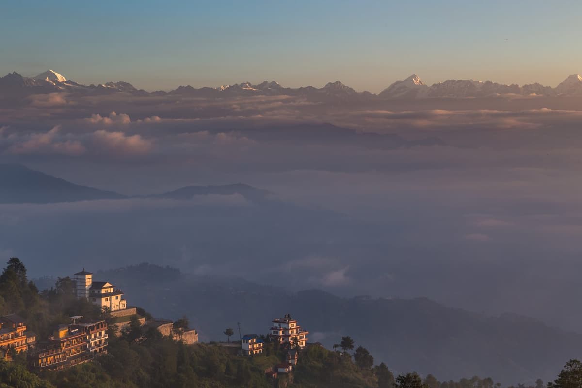
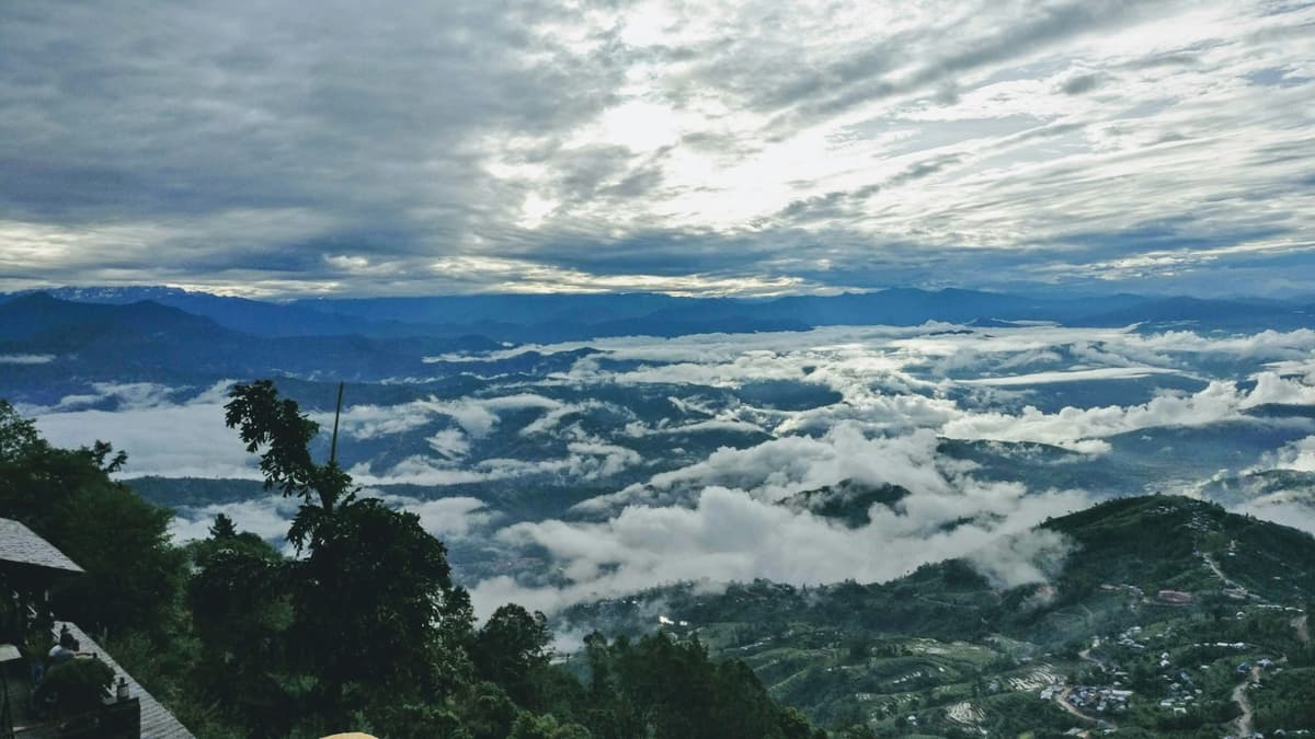
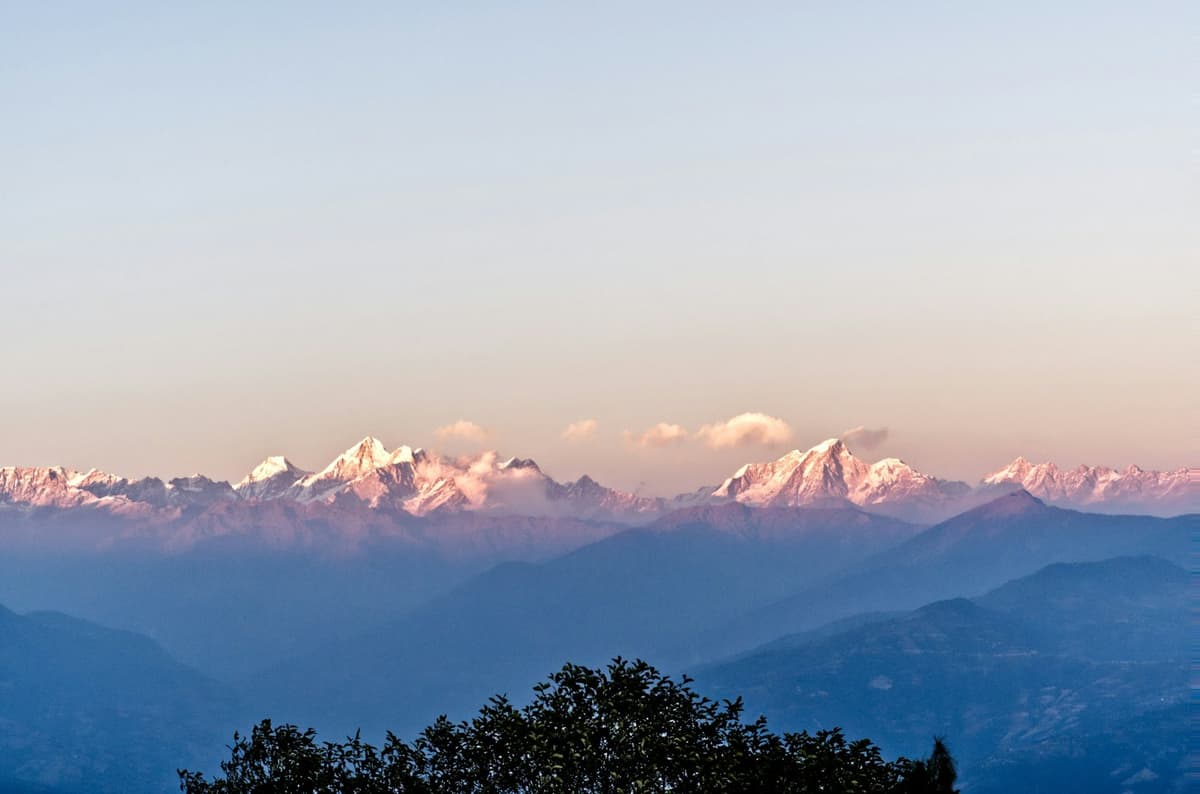
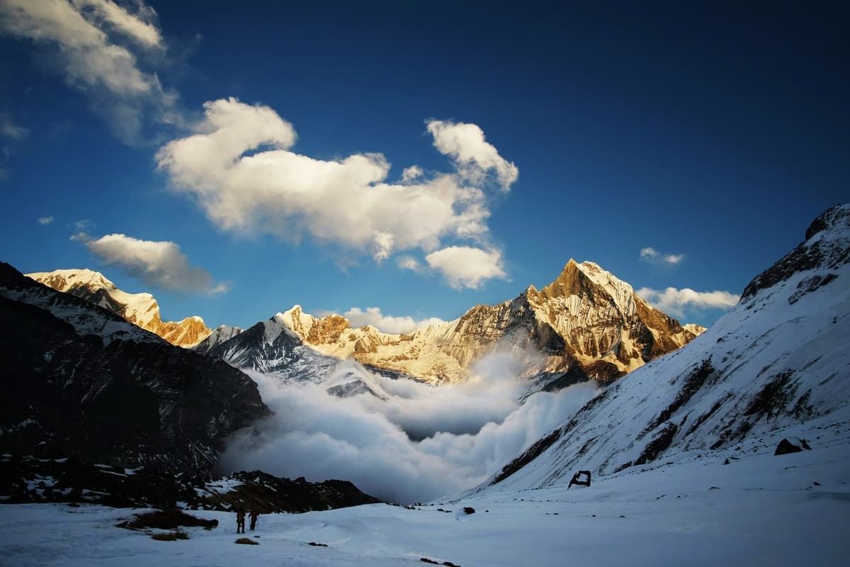
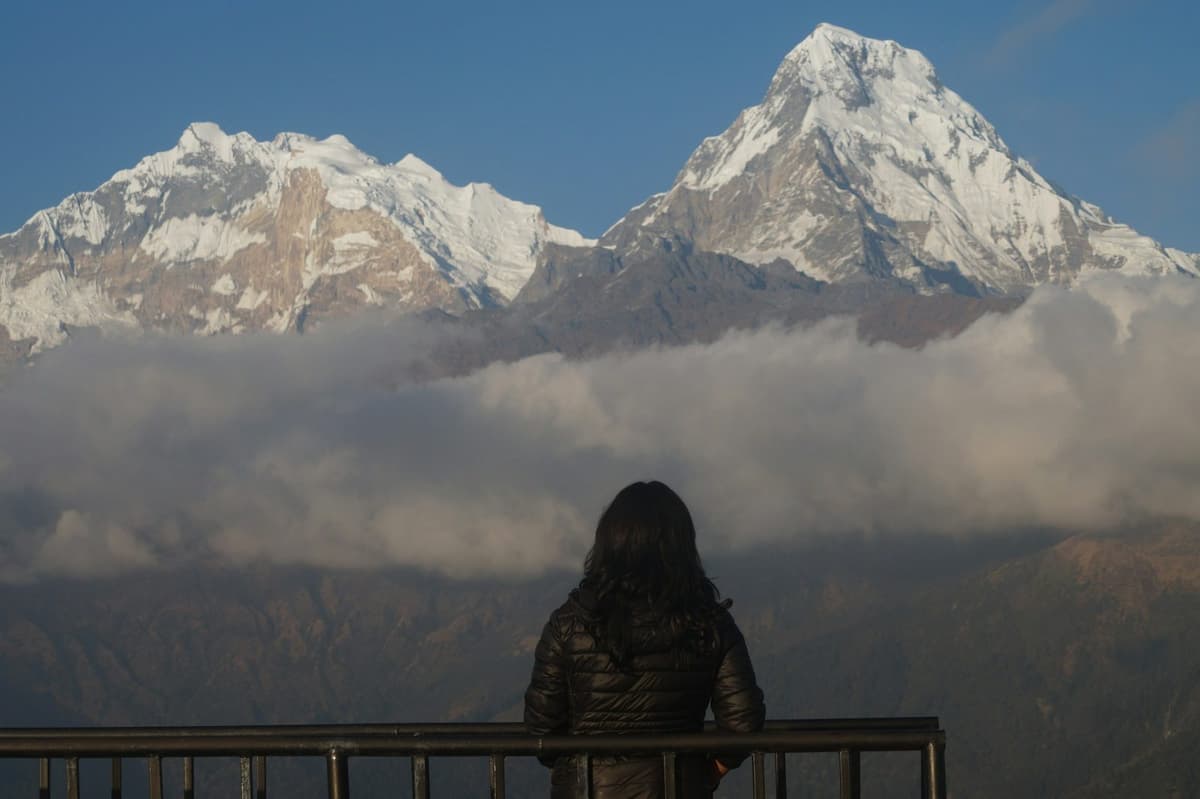
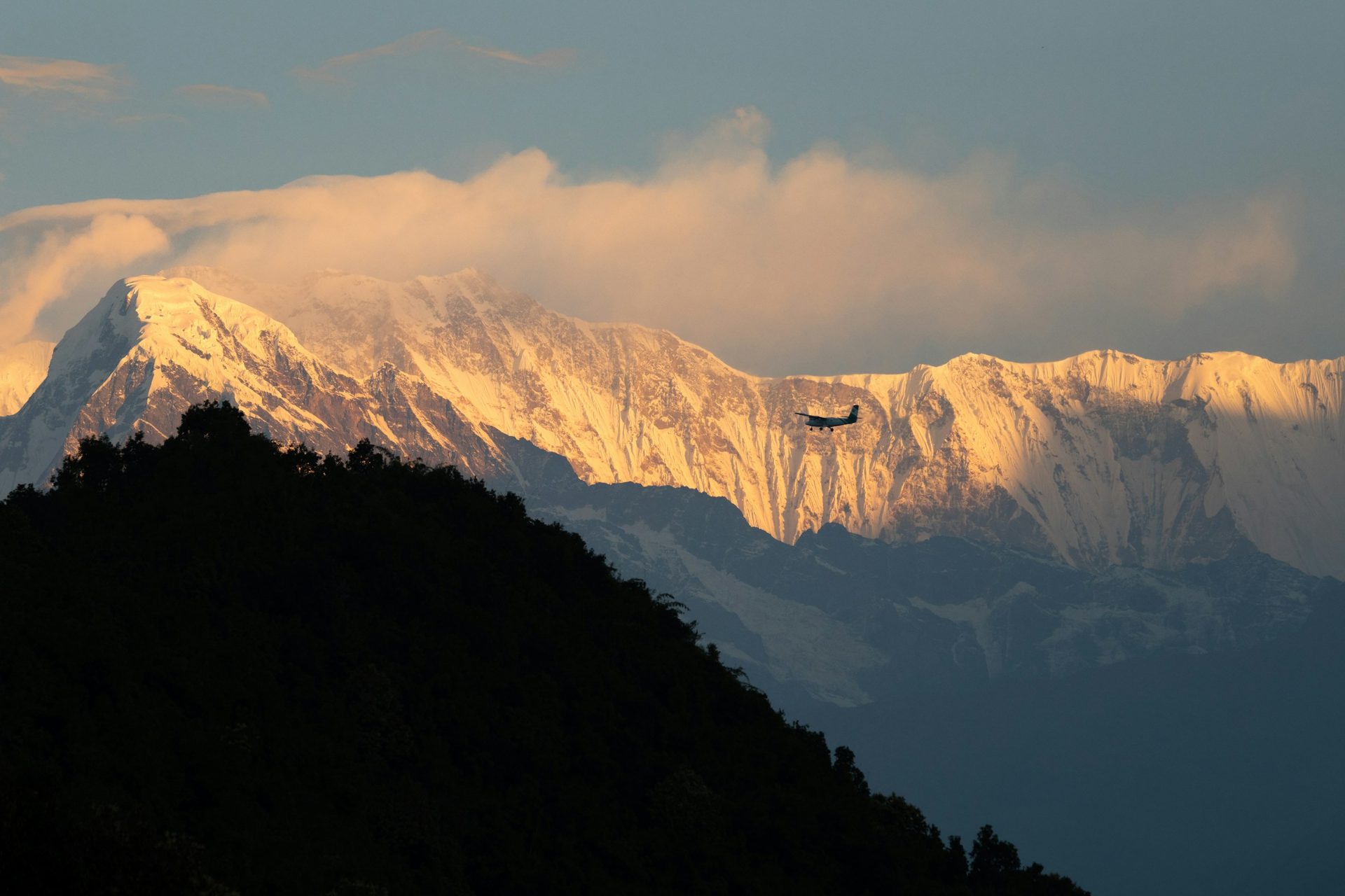
It is still dark when the cars start climbing out of Lakeside. On top of the hill, people in warm jackets wait on the view tower. Then the snow on the high peaks turns pale gold, and slowly Phewa Lake and the city of Pokhara appear out of the shadow below.
Sarangkot is a hill on the western side of Pokhara at 1,595 m, known for sunrise over Dhaulagiri, the Annapurna range and Machhapuchhre, for paragliding take-offs and for easy hikes. It is 11.3 km by road from Lakeside, and the Nepal Tourism Board puts the drive at 30 minutes at most.
It is one of the first outings we suggest in our guide to things to do in Pokhara. This guide covers the view, sunrise times, getting up, paragliding, the walk to Kaskikot, staying the night and the weather by month.
Key facts
- Altitude
- 1,595 m (some guides round it to 1,600 m) (UncoverNepal standard figure; Wikipedia, 28 Oct 2026)
- Where it is
- A hill on the western side of Pokhara; Ward 18 of Pokhara Metropolitan City (NTB; Wikipedia, 28 Oct 2026)
- Road distance from Lakeside
- 11.3 km (NTB, 28 Oct 2026)
- Drive time from Lakeside
- 30 minutes at most (NTB, 28 Oct 2026)
- Peaks NTB names in the view
- Dhaulagiri, Machhapuchhre, Annapurna II, Lamjung Himal (NTB, 28 Oct 2026)
- Sunrise
- Roughly 5:15 am in midsummer, about 7 am in midwinter (Our calculation for Pokhara (NOAA and USNO solar methods), 28 Oct 2026)
- Paragliding take-off and landing
- Take-off at Sarangkot and Toripani, landing at Khapaudi (Himal Press, May 2025; checked 28 Oct 2026)
- Paragliding hours
- 11 am to 4:30 pm, as set in May 2025 (Himal Press, May 2025; checked 28 Oct 2026)
- Viewpoint fee
- No official amount published; a small local ticket may apply (Our checks, 28 Oct 2026)
- Sunniest months
- November to April (FAO data 1971 to 2000 via Wikipedia, 28 Oct 2026)
In this guide
- What is Sarangkot?
- Which mountains can you see from Sarangkot?
- Sunrise at Sarangkot: what time and what to expect
- How to get to Sarangkot from Lakeside
- Is there an entry fee at Sarangkot?
- Paragliding at Sarangkot
- Other things to do at Sarangkot
- Hiking on from Sarangkot to Kaskikot
- Staying overnight in Sarangkot
- Best time to visit Sarangkot: weather by month
- Safety tips for Sarangkot
- Frequently asked questions
What is Sarangkot?
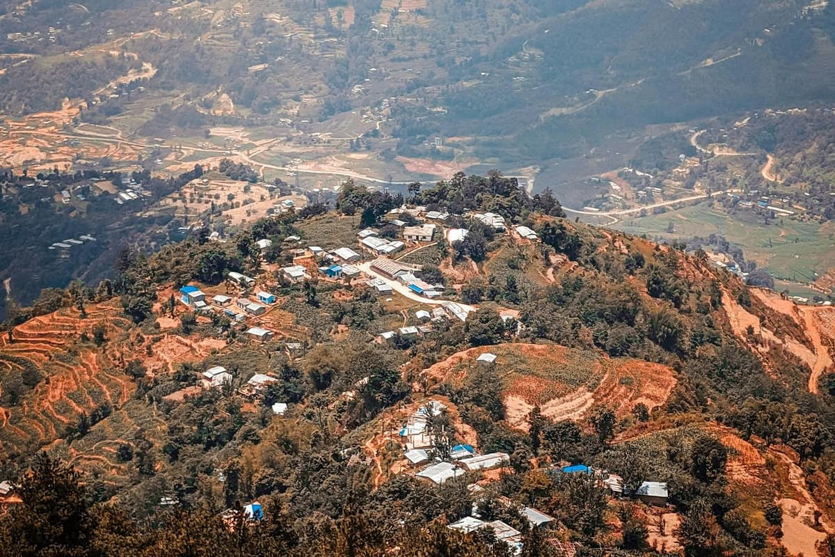
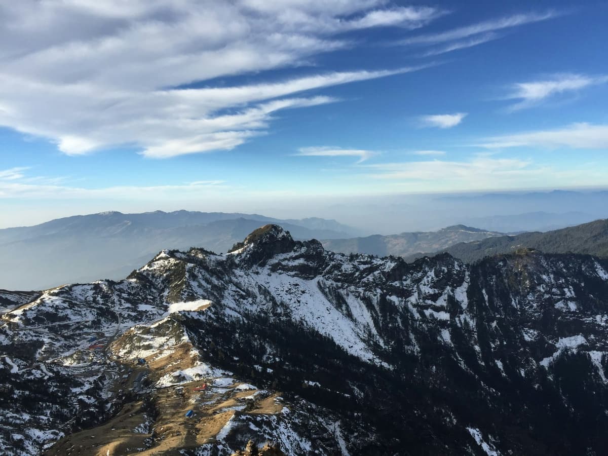
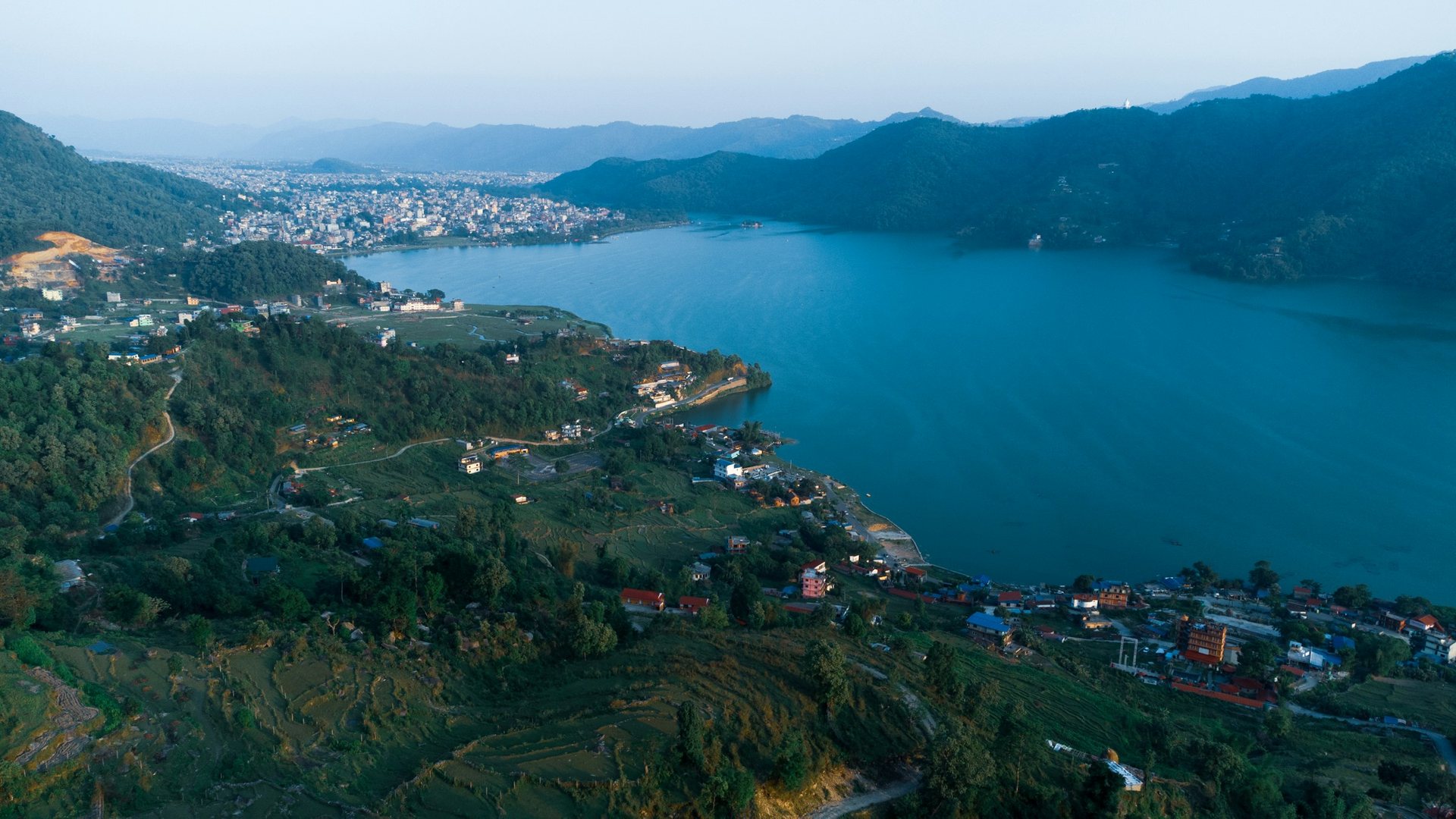
Sarangkot is a hill on the western side of Pokhara, and since 2015 it has been Ward 18 of Pokhara Metropolitan City. At 1,595 m it stands nearly 800 m above the lake town, high enough to look along the Himalaya and straight down on Phewa Lake. Most people come for one thing: a clear sunrise over the mountains.
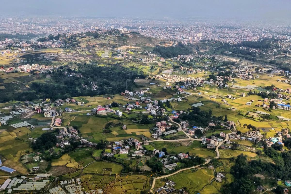
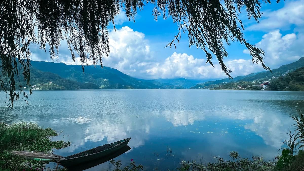
The Nepal Tourism Board (NTB) describes a view that takes in Pokhara "from the far north to the far south, including the Phewa Lake". That is the real appeal. From most of Lakeside the mountains appear over the tops of hotels and trees. From Sarangkot they fill the skyline, and the city and lake sit below you like a map.
The hill is not remote. It is part of the city, with homes, hotels and lodges along the ridge. NTB lists sunrise and sunset tours, zip lining, bird watching, hiking and paragliding among the things people do there, and notes that because the hill is less than an hour's drive from Pokhara, a day visit works well.
A note on the altitude
We use 1,595 m for Sarangkot across our site. You will also see 1,600 m, which is how some guides, including Wikipedia, round it. NTB's Sarangkot page gives no altitude for the hill itself. Pokhara sits at about 820 m.
At this height, altitude sickness is not a concern. It usually becomes a risk from about 2,450 m, according to the US Centers for Disease Control and Prevention (CDC), and Sarangkot is well below that. The effort here is ordinary: a steep road, steps up to the viewpoint, and a long climb if you walk.
Sarangkot suits first-time visitors who want one clear look at the Himalaya without trekking, families and older travellers who can drive almost all the way up, photographers, paragliders and walkers heading on to Kaskikot. It suits less well anyone who hates early starts: the view is best at dawn, and cloud often builds as the day goes on (our observation, not a measured figure).
Which mountains can you see from Sarangkot?
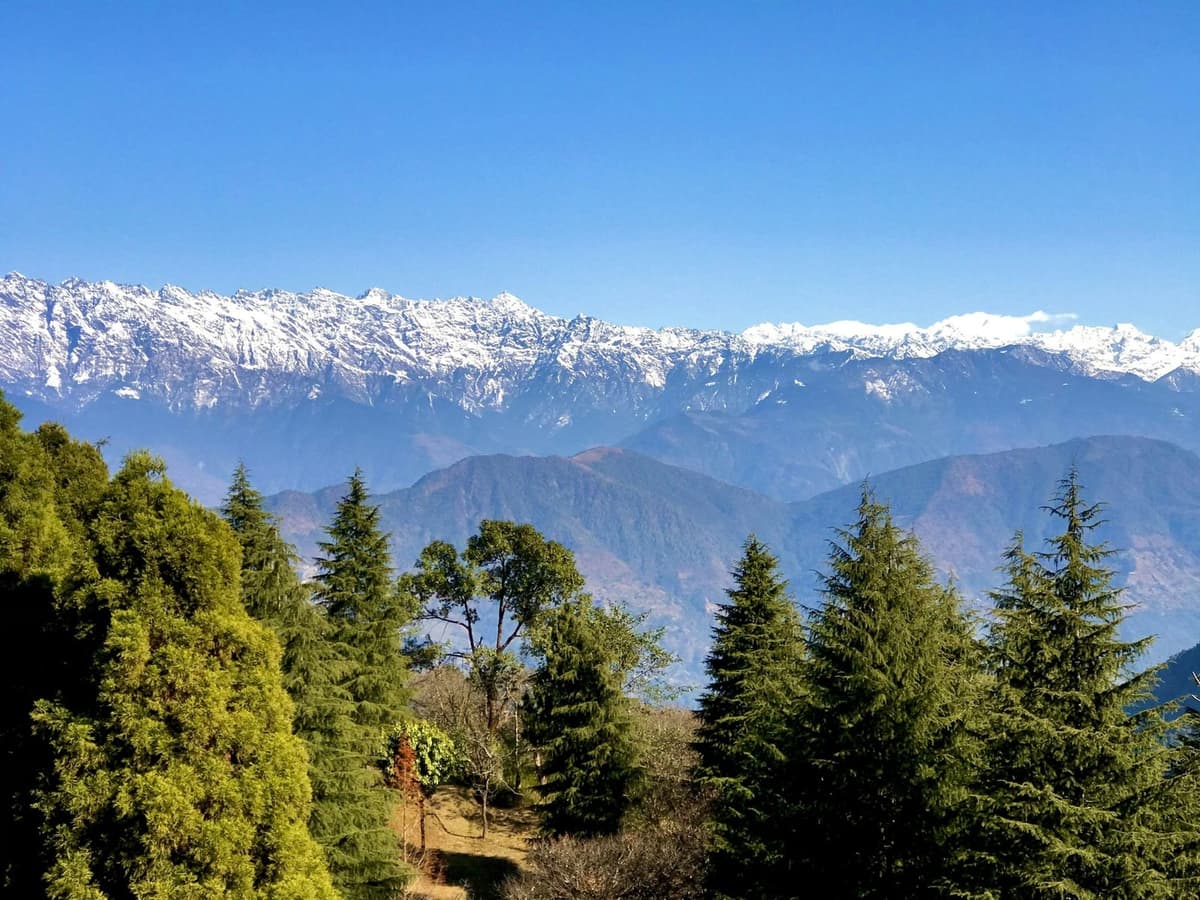
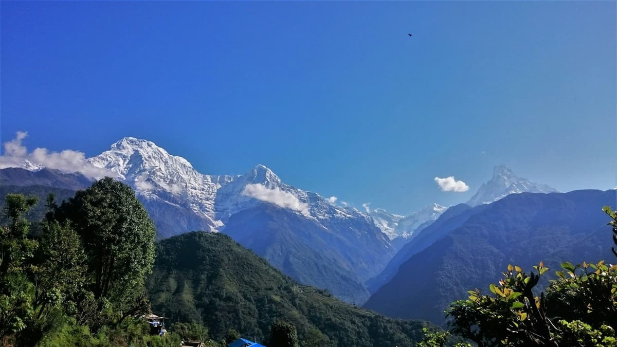
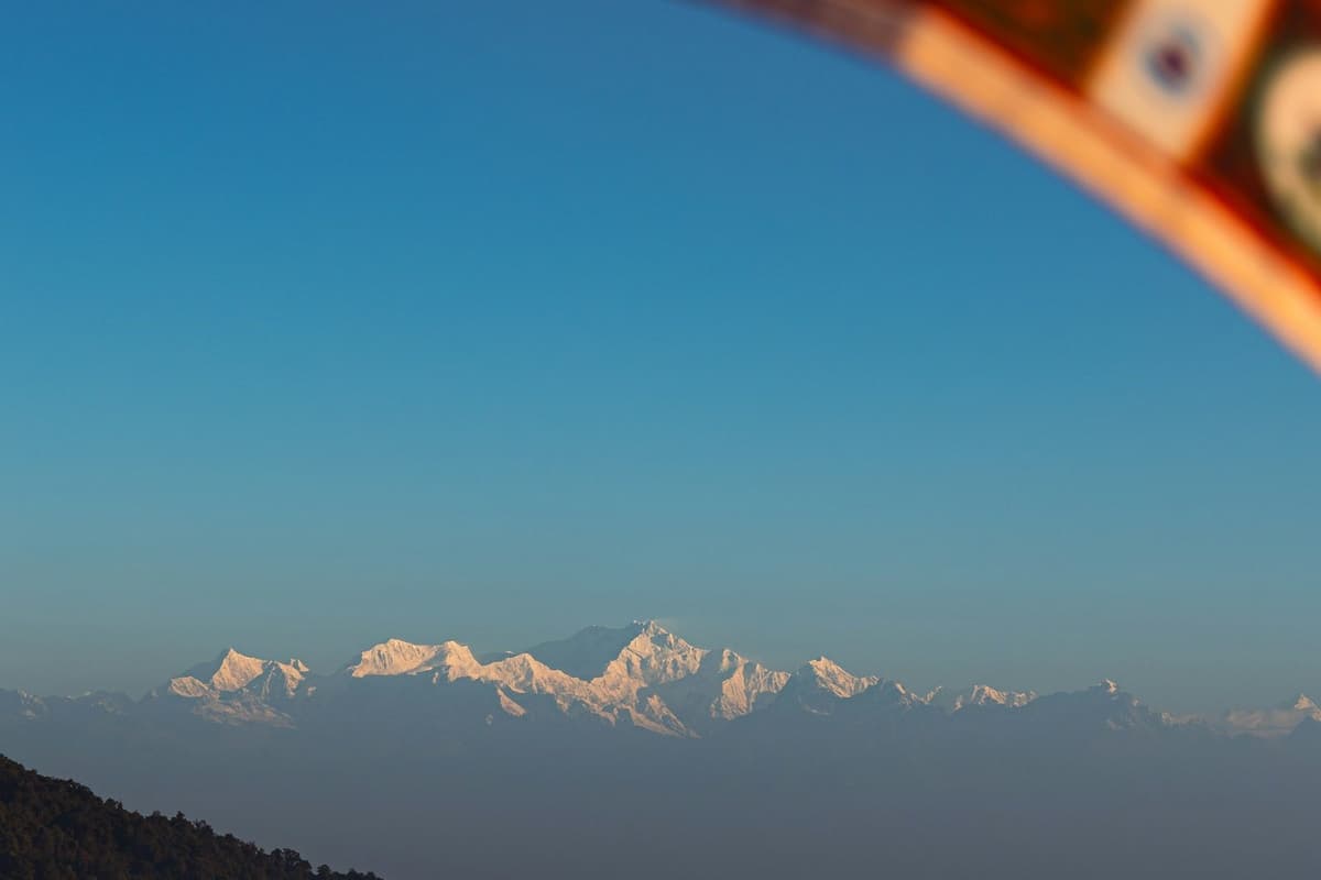
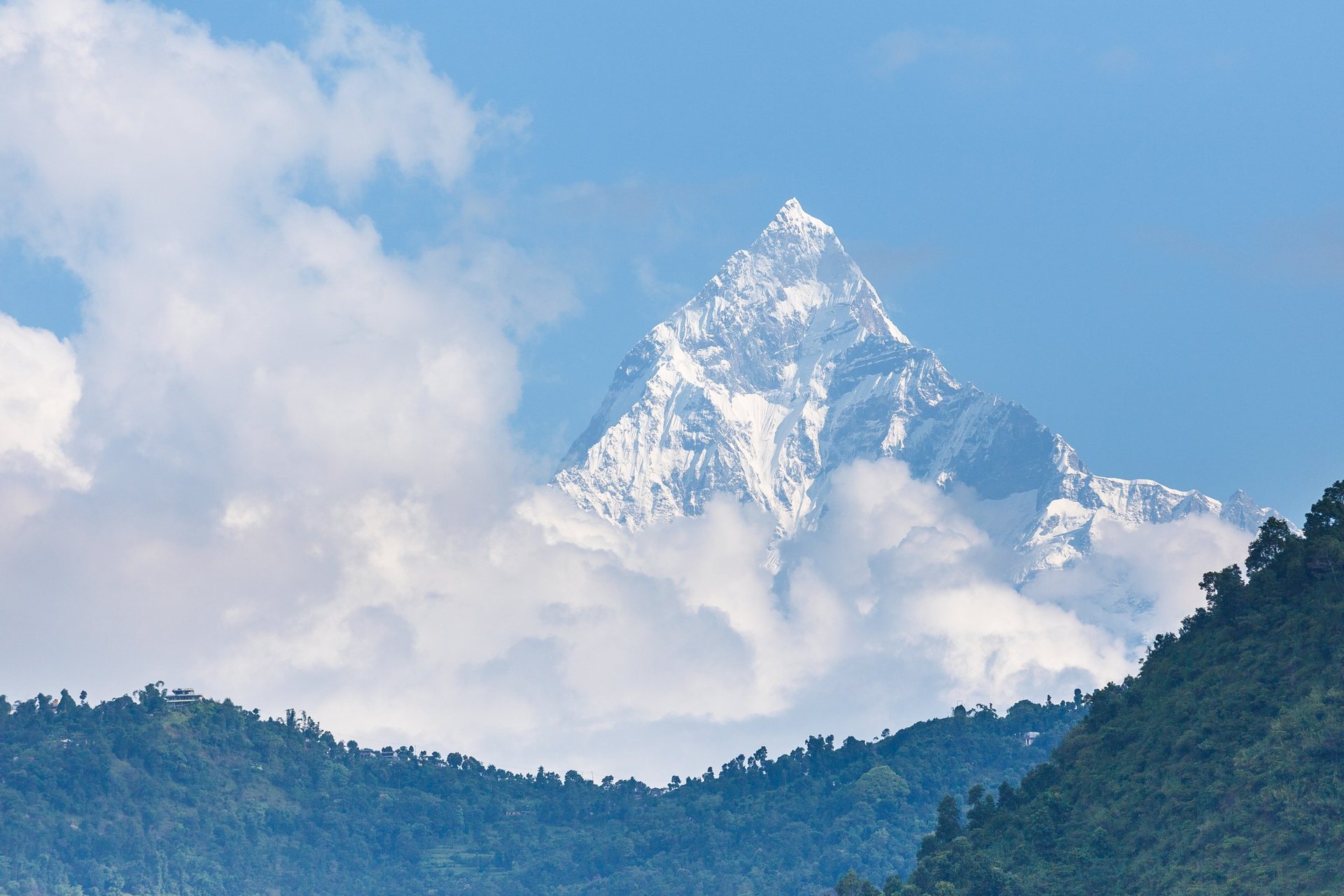
From Sarangkot, the Nepal Tourism Board names a skyline that runs from Dhaulagiri (8,167 m) in the west to Machhapuchhre, Annapurna II (7,937 m) and Lamjung Himal (6,983 m) in the east. For Machhapuchhre, NTB gives 6,997 m; other sources give 6,993 m. You see them only on a clear morning.
| Peak | Height | Source |
|---|---|---|
| Dhaulagiri | 8,167 m | NTB, checked 28 Oct 2026 |
| Annapurna II | 7,937 m | NTB; Peakbagger via Wikipedia, checked 28 Oct 2026 |
| Machhapuchhre | 6,997 m (NTB); other sources give 6,993 m | NTB; Peakbagger via Wikipedia, checked 28 Oct 2026 |
| Lamjung Himal | 6,983 m | NTB, checked 28 Oct 2026 |
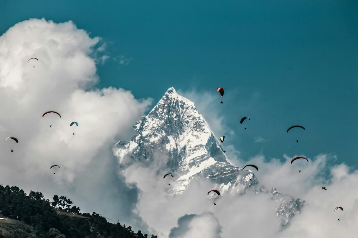
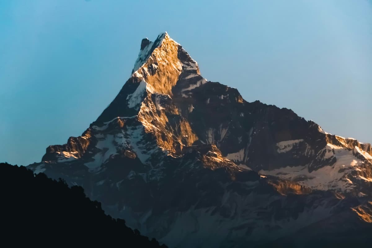
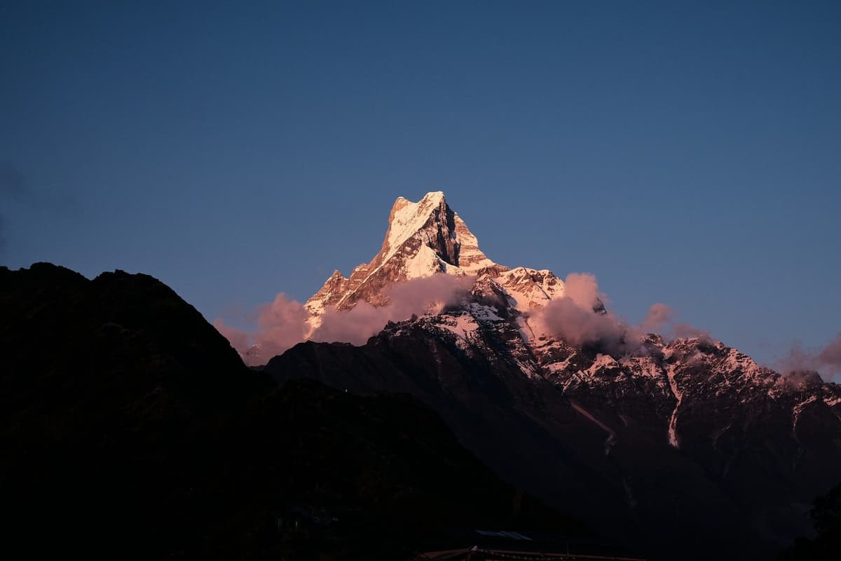
Machhapuchhre is the one most visitors remember: the sharp, isolated summit that stands out from the Pokhara valley. Dhaulagiri sits far off to the west, and the long white wall of the Annapurna range takes up much of the rest of the view.
What the Annapurna range is
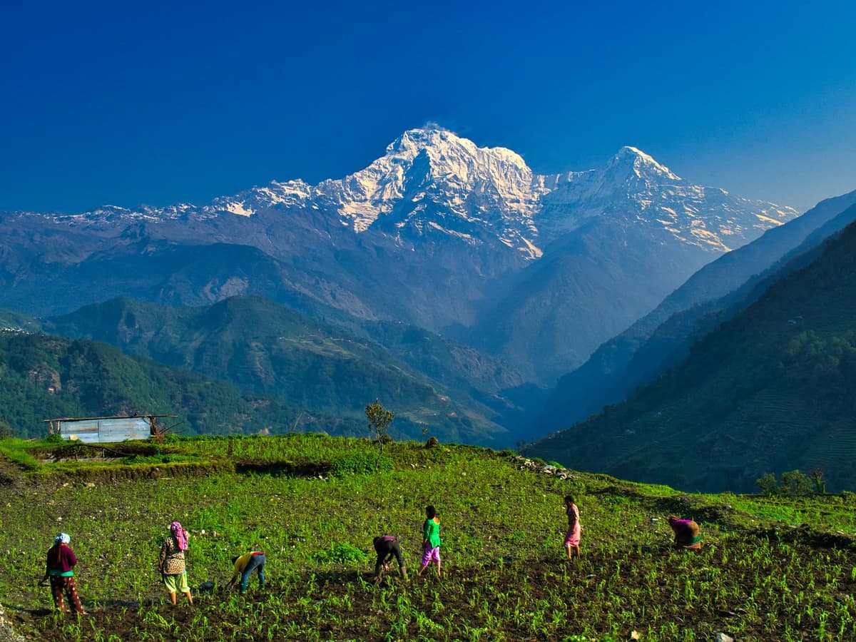
The Annapurna range is a massif about 55 km long, bounded on the south by the Pokhara Valley. It holds one peak over 8,000 m, thirteen over 7,000 m and sixteen more over 6,000 m. Its highest summit, Annapurna I, is 8,091 m.
We say "the Annapurna range" rather than listing every summit for a simple reason. NTB's Sarangkot page names Annapurna II and Lamjung Himal, not Annapurna I or Annapurna South. Many websites print longer lists, and some say you can pick out Manaslu far to the east. We have not found a reliable source for those claims, so we leave them off. Your guide or a local at the tower can point out each summit on the morning.
Honest expectations about the view
No one can promise you a clear view from Sarangkot, and we will not. Pokhara gets a lot of rain: 3,868.3 mm a year at the airport station. The best odds are from about mid-October to April, as the weather section below shows. On a cloudy morning you may still watch the lake and city appear as the light comes up, and if you have the days, keep a second morning free for another try.
Sunrise at Sarangkot: what time and what to expect
Sunrise at Sarangkot is roughly 5:15 am in midsummer and about 7 am in midwinter, with spring and autumn falling in between; check the exact time the evening before. The snow peaks catch the first light before the sun clears the eastern hills, so aim to be on top while it is still dark.
We give round figures on purpose: the hilltop and the ridges around it move the moment you actually see the sun by a few minutes either way. NTB sums up the classic visit in one line: people drive up the hill to watch the sunrise from the top of the view tower.
How a sunrise morning goes, step by step
- The evening before, check tomorrow's sunrise time and the forecast. Agree a pick-up time with your driver or guide that gets you to the top in the dark.
- Pack a warm layer, a torch, water, a charged phone or camera and some small rupee notes.
- Leave Lakeside in the dark. The drive takes 30 minutes at most, but allow time for the last walk up to the viewpoint.
- Wait for first light. The snow on the peaks changes colour first; Pokhara and Phewa Lake come out of the shadow last.
- Stay a little after the sun is up, when the light on the lake is often at its best.
- Head down for breakfast, or stay in the area if you are paragliding later. Flights run from 11 am, as set in May 2025.
Sunset at Sarangkot
NTB also lists sunset tours. Evening light on the range and on Phewa Lake can be as good as dawn, and you do not need to get up in the dark. The catch is coming down after sunset: bring a torch, and arrange your transport back before you go up.
How to get to Sarangkot from Lakeside
Most people drive. NTB puts Sarangkot 11.3 km from Lakeside by road, a drive of 30 minutes at most. You can also take the Annapurna Cable Car, which runs between Lakeside and Sarangkot, or walk up, which is a steady half-day climb. For sunrise, a car booked the evening before is the simplest choice.
First you need to reach Pokhara. From Kathmandu it is most of a day by road, often six to nine hours with traffic and roadworks, or about 30 minutes by air. Your flight or bus to Pokhara is your own arrangement; Sarangkot itself is a short local trip from the lake.
By road
A private car or taxi from Lakeside is the simplest choice, especially for sunrise. Book it the evening before, and agree whether the driver waits at the top or comes back at a set time.
Expect some climbing on foot at the end. The view NTB describes is from the top of the hill's view tower, so there are steps, and you will climb them in the dark. If anyone in your group has trouble with steps, tell your driver or guide; they can usually find a spot that needs less climbing.
By cable car
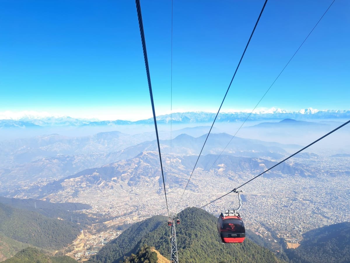
The Annapurna Cable Car runs between Lakeside and Sarangkot and was built for visitors rather than commuters. We have not confirmed its current fare, opening hours or ride time, so check them directly, in particular whether the first ride is early enough for sunrise. For a sunset visit or a daytime look at the view, it is a comfortable way up.
On foot
Walking up from Lakeside is a steady half-day climb. We do not give a fixed time, because pace, route and heat change it a lot. Ask us for the route, and if you do not know the way, go with a guide.
Walking up for sunrise means climbing in the dark, which we do not recommend unless you are with someone who knows the path. A better plan for walkers: drive up for sunrise and walk down in daylight, or walk up in the afternoon, watch the sunset and sleep on the hill.
Is there an entry fee at Sarangkot?
We have found no official, published entry fee for the Sarangkot viewpoint. A small local ticket may be charged at the top viewpoint, so carry some small rupee notes. Sarangkot is a ward of Pokhara city, not a national park or conservation area, so no park permit is needed for the hill itself.
"Tourists drive up the hill to see the sunrise from the top of the hill's view tower."
Nepal Tourism Board, 2026
The cable car, the zipline and paragliding are separate businesses with their own tickets.
Paragliding at Sarangkot
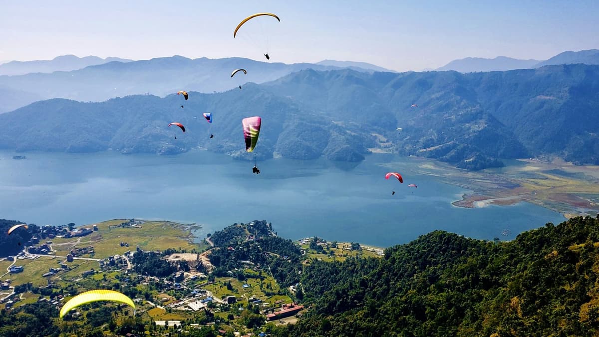
The Nepal Tourism Board calls Sarangkot "one of the top paragliding destinations in the world". Since May 2025, Himal Press reports, paragliders take off from Sarangkot and Toripani and land at Khapaudi, at the end of Phewa Lake, with flights in a set daytime window of 11 am to 4:30 pm.
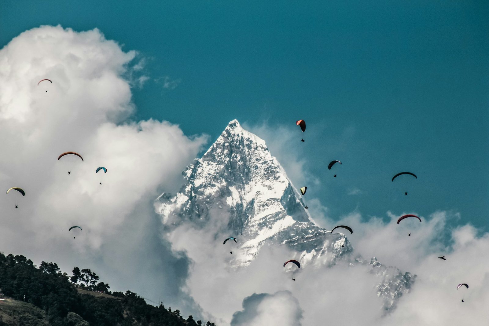
In a tandem flight you are strapped to a trained pilot who handles the take-off, the flying and the landing, so you need no experience. You run a few steps when told, sit back once you are in the air, and lift your feet for landing.
Where flights take off and land
The sites have moved in recent years, so older guides may be out of date.
- The classic flight: NTB's Sarangkot page still lists "paragliding from Sarangkot to lakeside" among the things to do on the hill.
- After Pokhara International Airport opened: the new airport took over most flights from the old Pokhara airport on 1 January 2023, and paragliding was pushed west, away from Sarangkot, eKantipur reported.
- From May 2025: the Civil Aviation Authority of Nepal (CAAN) and the Nepal Air Sports Association agreed that paragliders take off from Sarangkot and Toripani and land at Khapaudi, Himal Press reported. CAAN allowed landings again at Khapaudi, the former landing site, which eKantipur describes as the end of the lake.
CAAN sets where paragliders take off and land. Your operator will tell you which take-off you are using, depending on the wind and the rules in force.
How long a tandem flight lasts
One established Pokhara operator's listing we checked (updated September 2026) offers a shorter flight of about 20 to 30 minutes and a longer one of about 40 to 60 minutes. These are operator figures, not official ones, and the air decides the real time: on a weak day the pilot may bring you down sooner.
We do not list paragliding prices in this guide. They differ by operator, flight length and extras such as photos and video, so ask for a written price that says what is included.
Flying hours and pick-up
When the current sites were agreed in May 2025, flying hours were set at 11 am to 4:30 pm. Your operator confirms your pick-up time the day before. So you can watch sunrise from Sarangkot and fly later the same day, but do not expect a sunrise flight.
Who runs the flights
The Rising Nepal reported in March 2026 that 53 paragliding companies operate in Pokhara, with 416 registered pilots, 265 of them active. With so many operators, standards vary. Book through an established company with an office in Pokhara, not a stranger on the street. Operators set their own weight and health limits, so tell them your weight and any health conditions when you book.
How safe is paragliding in Pokhara?
Paragliding in Pokhara is a regulated activity, with take-off and landing sites set by CAAN, but it is not risk-free. Fatal accidents have happened; for example, Onlinekhabar reported in November 2020 that a pilot died and a passenger was critically injured when a commercial paraglider came down in Pokhara.
Here is what we tell our own guests.
- Choose the company, not the cheapest price. Book with an established operator, and ask who your pilot will be and how long they have flown tandem.
- Check your travel insurance. Some policies exclude paragliding or need extra cover for it.
- Be honest about your weight and health. Mention heart conditions, recent injuries, pregnancy or back problems.
- Dress for it. Closed shoes with a good grip, long trousers and a warm layer. Strap your phone or camera, or leave it on the ground.
- Listen to the briefing. On take-off, keep running until the pilot says stop.
- Accept a weather call. If the pilot or company says the wind or cloud is wrong, do not push to fly; move your slot to another day.
- Speak up in the air. If you feel unwell, tell the pilot, who can fly more gently or land sooner.
Other things to do at Sarangkot
Apart from sunrise and paragliding, NTB lists zip lining, sunset tours, bird watching and hiking at Sarangkot.
- Zipline. NTB confirms zip lining at Sarangkot. We have not confirmed its length, speed or ticket price, so ask locally.
- Bird watching. NTB lists it among Sarangkot's activities. The quiet hour after sunrise, away from the viewpoint, is a good time to try.
- Sunset. The same view as dawn, with the evening light on the range and the lake below.
- Short walks. Paths along the ridge lead away from the viewpoint past village homes, with the range behind.
- The lake below. After Sarangkot, many people spend the afternoon on or beside the water. Our guide to Phewa Lake covers the lake in detail.
Hiking on from Sarangkot to Kaskikot
Kaskikot lies beyond Sarangkot, north of Phewa Lake, and it is now Ward 24 of Pokhara Metropolitan City. It is where the rulers of the old Kaski kingdom had their palace; ruins remain, and a Kalika temple stands at the old palace site. Walking on along the ridge is the natural next step if you want more than the viewpoint.
Kaskikot shares its territory with Sarangkot, Chapakot, Dhikurpokhari and Hemja, and you reach it by going further west along the same ridge. We do not give a walking time, because it depends on your route and where you start.
A little history
Before Nepal was unified, Kaski was one of the Chaubisi rajya, the small principalities of west Nepal (the name means "the twenty-four kingdoms"). The Kalika temple at the old palace site is a place of worship at Dashain, the big Hindu festival of the autumn, and at Chaitra Dashain, held in the spring month of Chaitra. At those times, expect local worshippers. Take off your shoes where others do, and ask before photographing people at prayer.
Planning the walk
- Go with someone who knows the path. Small trails link the villages, and it is easy to take the wrong one.
- Walk in daylight. Combine it with an early Sarangkot visit and walk on after sunrise.
- Carry water and a snack, and arrange a car to meet you or allow time to walk back.
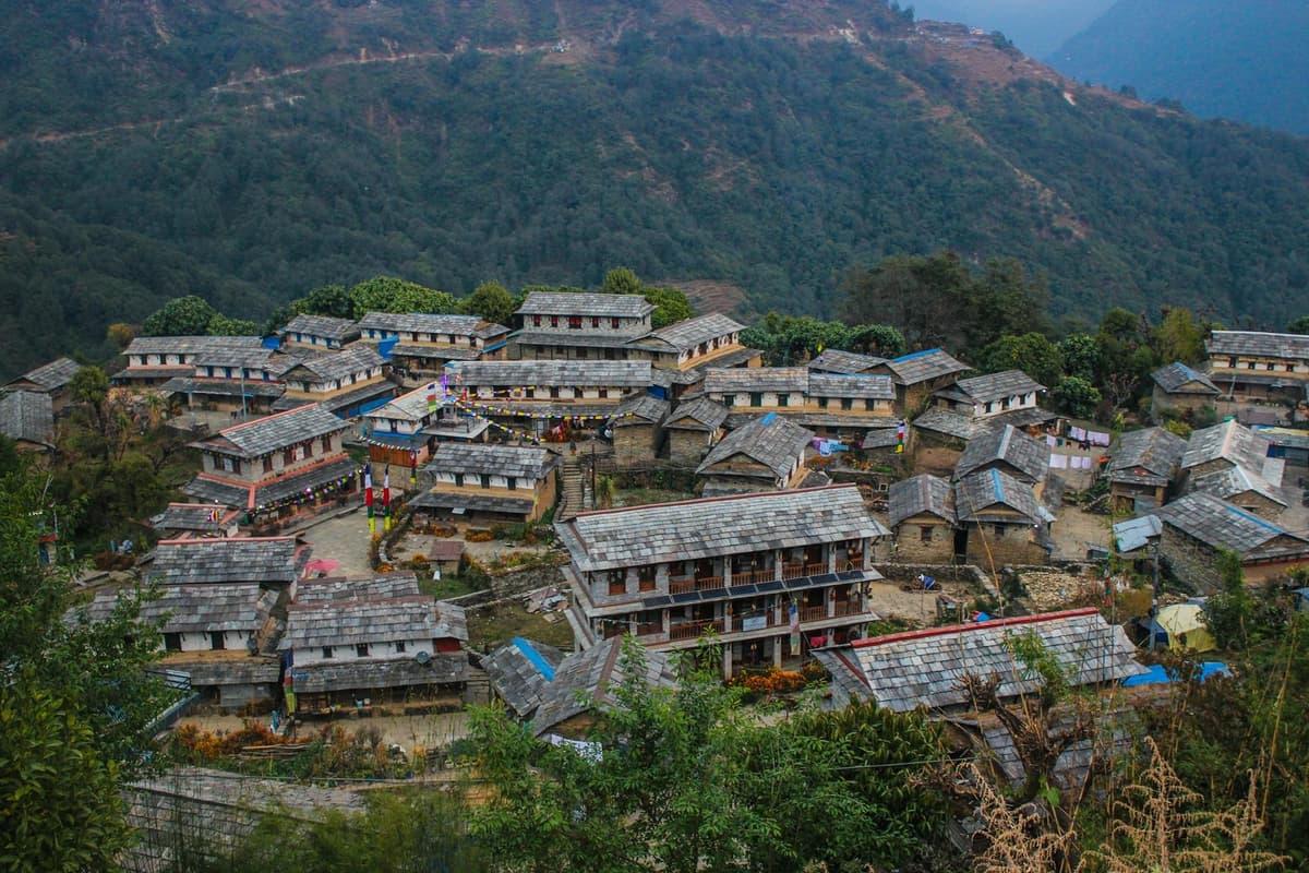
If a day on the ridge makes you want more, a few days of village walking in the hills above Pokhara is the next step. Our guide to Ghandruk village covers one of the best-known choices.
Staying overnight in Sarangkot
Yes, you can stay overnight in Sarangkot. NTB notes several tourist-standard hotels, lodges and teahouses on the hill, as well as luxury resorts, comfortable hotels and moderate lodges. Sleeping on the hill means sunrise is a short walk from your bed, not a pre-dawn drive from Lakeside.
A teahouse, in Nepal, is a simple family-run lodge with basic rooms and a shared dining room. On Sarangkot you can choose anything from that level up to a resort.
The case for staying: you get sunset in the evening and sunrise in the morning, so two chances at a clear sky; a slower start; and the lights of Pokhara below you after dark. The case against: fewer restaurants and shops than Lakeside, cooler nights (the hill is cooler than the lake town, so bring a warm layer), and you still need transport down for anything in the city.
If you like the idea of sleeping on a hill with a mountain view, our guide to hill stations in Nepal covers similar places around the country.
Best time to visit Sarangkot: weather by month
The clearest Sarangkot mornings usually come from about mid-October to April. Pokhara's valley weather station records its sunniest months from November to April and its fewest rain days in November, December and January. June to September is the monsoon, when about 80% of Nepal's rain falls and the mountains are often hidden.
The table below uses Pokhara Airport, 827 m, WMO/DHM 1991-2020 normals. Sarangkot is about 770 m higher and usually cooler; no station normals exist for Sarangkot. Sunshine hours are from FAO data for 1971 to 2000.
Pokhara Airport (827 m), WMO/DHM 1991-2020 normals; sunshine FAO 1971-2000
| Month | Mean max °C | Mean min °C | Rain (mm) | Rain days | Sunshine hours |
|---|---|---|---|---|---|
| Jan | 19.9 | 7.1 | 21.6 | 2.4 | 204.6 |
| Feb | 22.7 | 9.7 | 35.1 | 3.8 | 208.1 |
| Mar | 27.1 | 13.1 | 63.7 | 6.4 | 229.4 |
| Apr | 30.0 | 16.1 | 141.7 | 10.5 | 219.0 |
| May | 30.4 | 18.7 | 354.7 | 18.3 | 167.4 |
| Jun | 30.8 | 21.2 | 648.2 | 22.2 | 111.0 |
| Jul | 30.4 | 22.4 | 941.0 | 25.6 | 105.4 |
| Aug | 30.5 | 22.3 | 839.4 | 24.3 | 96.1 |
| Sep | 29.9 | 21.1 | 635.0 | 19.4 | 132.0 |
| Oct | 27.9 | 17.2 | 159.2 | 8.0 | 189.1 |
| Nov | 24.4 | 12.3 | 17.2 | 1.3 | 222.0 |
| Dec | 21.0 | 8.3 | 11.5 | 1.0 | 220.1 |
| Year | 27.1 | 15.8 | 3,868.3 | 143.2 |
Rain days are days with at least 1.0 mm of rain. All figures are for the valley, not the hilltop.
Autumn: October and November
The monsoon normally withdraws from Nepal by about 2 October, though the date varies; in 2026 it fully withdrew on 14 October. October still averages 8.0 rain days at the airport, but November drops to 1.3, with 222.0 sunshine hours. That is why late October and November are the classic time for Sarangkot.
Winter: December to February
December is the driest month on the table, with 1.0 rain days and 11.5 mm of rain. Winter mornings are often clear but cold: the airport's average January low is 7.1 °C, and the hilltop is cooler than that. Sunrise comes late, at about 7 am in midwinter, which makes the start easier. Bring a warm jacket, a hat and gloves for the dawn wait.
Spring: March to May
March is the sunniest month on the table, with 229.4 hours. Rain days rise through the season, from 6.4 in March to 10.5 in April and 18.3 in May. In our experience spring mornings are often hazier than autumn ones, so the mountains can look faint even on a dry day (our observation; we have no official haze figures).
Monsoon: June to September
This is the hardest time for a view. July averages 941.0 mm of rain and 25.6 rain days at the airport, and August has the fewest sunshine hours of the year, at 96.1. The monsoon normally arrives around 13 June. A clear dawn can still happen, but you cannot plan for it, and trails are muddy and slippery. Check the forecast each evening and go up only when the sky looks promising.
Safety tips for Sarangkot
Sarangkot is an easy, low-altitude outing, well below the height where altitude sickness usually begins. The main risks are ordinary ones: steps and roads in the dark, slippery paths in the wet months, cold at dawn, and the weather on a paragliding day.
- Use a torch. The steps up to the view tower are climbed in the dark on a sunrise trip.
- Wear shoes with a good grip, not sandals.
- Dress in layers. The hill is cooler than Lakeside, even after a warm afternoon in town.
- Stay back from edges. Viewpoints and terrace walls are not always fenced. Watch children closely.
- Use a known driver arranged through your hotel or our team, and agree the price and return time before you set off.
- Walk the trails in daylight unless you are with someone who knows the path, and turn back in heavy rain.
- Carry water, especially from April to September, when the valley's average maximum is around 30 °C.
- For paragliding, follow the list in the paragliding section above.
Frequently asked questions
How high is Sarangkot?
Sarangkot stands at 1,595 m, the figure we use across our site; some guides round it to 1,600 m. That is nearly 800 m above Pokhara's lake town. It is well below the height of about 2,450 m where altitude sickness usually becomes a risk, so you do not need to acclimatise for a visit.
How long does it take to get to Sarangkot from Lakeside?
By road, Sarangkot is 11.3 km from Lakeside, and NTB says the drive takes 30 minutes at most. You can also ride the Annapurna Cable Car between Lakeside and Sarangkot; check its current hours. Walking up is a steady half-day climb, and your pace and route make a big difference.
What time is sunrise at Sarangkot?
Sunrise at Sarangkot is roughly 5:15 am in midsummer and about 7 am in midwinter, with spring and autumn in between. Check the exact time the evening before. The snow on the peaks turns colour before the sun clears the eastern hills, so plan to reach the viewpoint in the dark, not at the moment of sunrise.
Which mountains can you see from Sarangkot?
NTB lists Dhaulagiri (8,167 m) in the west, then Machhapuchhre, Annapurna II (7,937 m) and Lamjung Himal (6,983 m) to the east. NTB gives Machhapuchhre as 6,997 m; other sources give 6,993 m. You see these peaks only on a clear morning; November to April gives the best odds.
Is paragliding at Sarangkot safe?
Paragliding at Sarangkot is a regulated commercial activity, with take-off and landing sites set by the Civil Aviation Authority of Nepal, but it is not risk-free. Fatal accidents have happened, including one reported in November 2020. Choose an established operator, be honest about your weight and health, check your insurance covers paragliding, and accept a weather cancellation.
Can you stay overnight in Sarangkot?
Yes. NTB notes tourist-standard hotels, lodges and teahouses on Sarangkot, as well as luxury resorts and moderate lodges. Staying the night gives you both the sunset and the sunrise from the hill, which gives you two chances at a clear view. Bring a warm layer, because the hill is cooler than Lakeside.
Plan your Sarangkot morning with us
Sarangkot fits into almost any stay in Pokhara: a dawn visit before breakfast, a paragliding slot later in the day, or a night on the hill. For everything else to see and do in the city, go back to our guide to things to do in Pokhara, and for more ideas around the country, see our list of Nepal tourist places.
If you would like a few days around Pokhara planned for you, look at our Bandipur and Pokhara Lakeside tour or our Australian Camp tour from Pokhara. Tell us you want a Sarangkot sunrise, and we will tell you honestly how it fits your dates and the season.
Message us on WhatsApp or send an enquiry with your dates and group size, and our Kathmandu team will reply with a plan.