


By Uncover Nepal Team · Checked by our Kathmandu travel team · Last checked 27 October 2026
In the dark above Thorong Phedi, a line of headtorches moves slowly up a frozen slope. Nobody talks much. The plan is to reach the high point of the Annapurna Circuit, 5,416 m, before the wind picks up, and then start the long walk down to Muktinath.
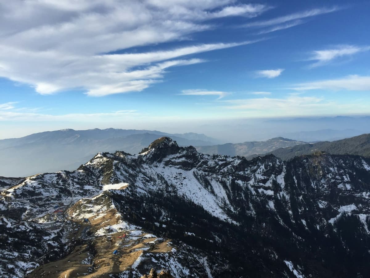
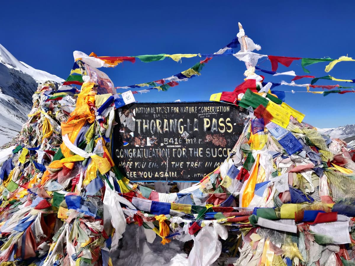
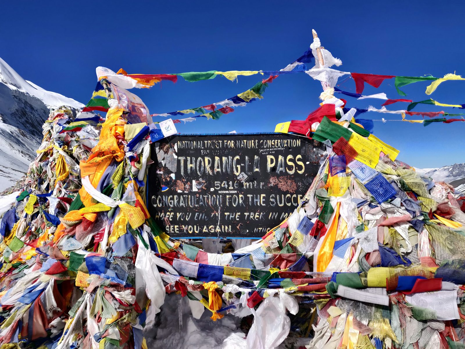
Thorong La Pass in Nepal is the 5,416 m (17,769 ft) crossing between Manang and Mustang, the highest point of the Annapurna Circuit. Most trekkers leave Thorong Phedi or High Camp between about 4 and 6 am and reach Muktinath after a long day, commonly 8 to 12 hours. Snow can hit it in spring and autumn, not only winter.
Many people weigh the Circuit against the shorter walk into the Sanctuary, so this guide sits beside our Annapurna Base Camp trek page and our comparison of Annapurna Base Camp, the Circuit and Poon Hill.
In this guide
- Key facts
- How high is Thorong La Pass, Nepal?
- What happens on crossing day?
- Thorong Phedi or High Camp?
- How to cross safely, step by step
- Altitude sickness, warning signs and turnaround rules
- When is the best time to cross Thorong La?
- Can snow close Thorong La?
- Is Thorong La open now?
- Permit, guide and rescue
- Frequently asked questions
Key facts
- Height
- 5,416 m (17,769 ft), the figure ACAP uses; NTB's Muktinath page gives 5,380 m (ACAP Annual Report 2024-25; NTB, 27 Oct 2026)
- Last stops before the pass
- Thorong Phedi, about 4,450 to 4,550 m (HRA gives 4,550 m); High Camp, about 4,850 to 4,925 m, published figures vary (HRA; Wikipedia; trekking companies, 29 Oct 2026)
- First stop after it
- Muktinath, about 3,800 m, according to NTB (NTB, 27 Oct 2026)
- Crossing day
- Start about 4 to 6 am; commonly 8 to 12 hours, Phedi to Muktinath (Trekking operator guides, 27 Oct 2026)
- Permit
- ACAP permit: NPR 3,000 foreign, NPR 1,000 SAARC, tax included; under 10 free; double at a check-post (NTNC e-permit portal, 27 Oct 2026)
- Nearest doctors
- HRA volunteer doctors in Manang, 24-hour emergency service until end of November 2026 (reported 7 Oct); no HRA clinic at Phedi (The Rising Nepal; HRA, 27 Oct 2026)
How high is Thorong La Pass, Nepal?
Thorong La stands at 5,416 m (17,769 ft), the figure the Annapurna Conservation Area Project uses. NTB's Muktinath page gives 5,380 m. We use 5,416 m everywhere else, because it is in ACAP's own annual report and ACAP officials gave it to the press in 2026.
The pass joins the Manang valley in the east with Muktinath and Mustang in the west. On the way up you acclimatise in Manang, about 3,500 m, then usually stop at Yak Kharka, about 4,000 m by one trekking company's figure, before Phedi or High Camp.
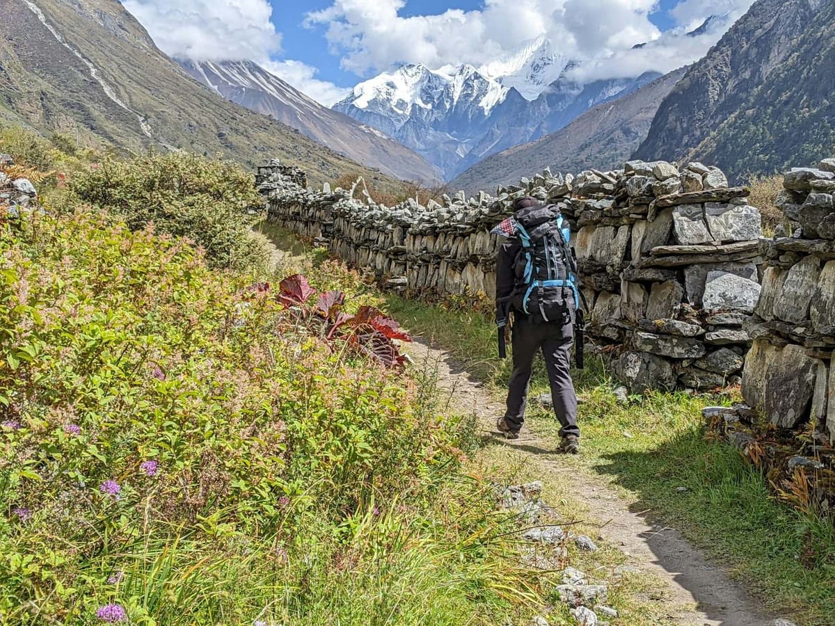
Most people walk the Circuit anticlockwise, from Manang to Muktinath. Crossing the other way means about 1,600 m of climbing in one day from Muktinath, which is far harder on the body.
What happens on crossing day?
Crossing day is the longest and hardest of the Circuit: a dark start, a slow climb, a short stop and a steep descent. The whole day commonly runs 8 to 12 hours. Strong winds often pick up later in the day, which is why your guide sets an early start.
| Stage | What it is like | Typical time (operator ranges) | Height change |
|---|---|---|---|
| Leave the lodge | Hot drink, headtorch, cold air | Most groups leave about 4 to 6 am | From about 4,450 to 4,550 m (Phedi) or about 4,850 to 4,925 m (High Camp) |
| Climb to the pass | Slow, steady walking in thin air | About four to five hours from Phedi; less from High Camp | About 870 to 970 m from Phedi; about 490 to 570 m from High Camp |
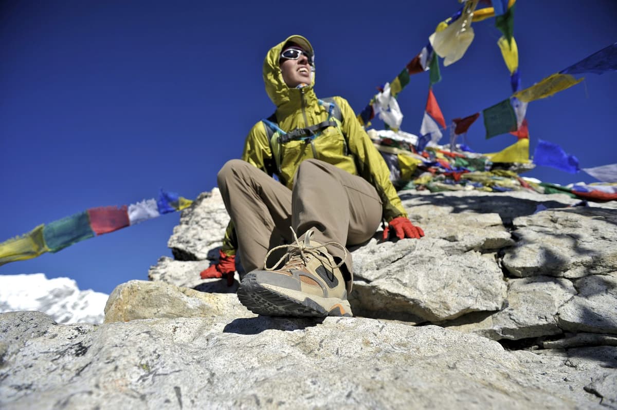
| On the pass | A layer, a photo, then on | Keep it short | 5,416 m |
| Down to Muktinath | Steep and hard on the knees | Four to six hours | About 1,600 m of descent |
| Whole day | Cold start, warmer finish | Commonly 8 to 12 hours |
Save energy for the afternoon: after hours of climbing, you still have about 1,600 m to lose.
Thorong Phedi or High Camp?
Both work, and your guide decides on the night based on how the group is acclimatising. Phedi, about 4,450 to 4,550 m, gives a lower night and a climb of about 870 to 970 m. High Camp, about 4,850 to 4,925 m, cuts the climb to about 490 to 570 m but means sleeping higher.
The ascent rule above 3,000 m is no more than about 500 m of extra sleeping height a night. Going from Yak Kharka straight to High Camp pushes against that, so it is not right for everyone. If anyone has a headache or poor appetite at Phedi, staying put is the better call.
What we would tell a friend: do not choose by the shorter climb. Choose by how you slept the night before.
How to cross safely, step by step
Cross early, slowly and with a spare day behind you. Your guide, who knows the route, decides when and how to cross, based on snow and the forecast.
- Tell your guide honestly how you feel the night before. A headache, nausea or a sleepless night are reasons to wait.
- Pack your daypack before bed: warm layers, hat, gloves, headtorch, sunglasses, sunscreen, snacks and water. Keep your bottle and phone in your sleeping bag so they do not freeze.
- Eat and drink, then leave when your guide says, usually between about 4 and 6 am, ahead of the wind that often rises later.
- Walk slowly and stay together. Keep a pace at which you can still talk, and nobody drops out of sight.
- Keep the stop at the top short, then start down.
- Come down with care. The descent is steep and hard on the knees. Poles help, and on snow or ice your guide will say if traction aids are needed.
- Keep a spare day. Snow closed the pass for several days in late September 2026. A spare day lets you wait instead of rushing.
Altitude sickness, warning signs and turnaround rules
Acclimatise in Manang, go up slowly and never cross with symptoms. The CDC says altitude illness can start from a sleeping altitude of about 2,450 m, and you are far above that for days before the pass. ACAP recorded 25 tourist deaths from altitude sickness across the conservation area in 2025/26, 15 of them in Mustang and 8 in Manang districts, not all on the pass.
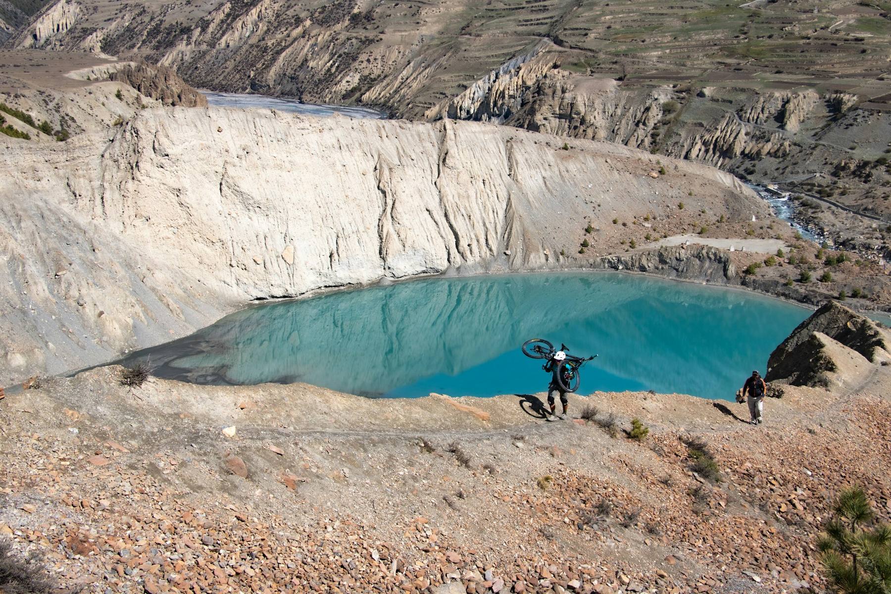
ACAP's chief, Dr Rabin Kadel, linked many cases to people travelling by road straight to high places such as Muktinath without acclimatising, The Himalayan Times reported in July 2026. Roads now reach Upper Manang and Muktinath, so it is easy to go up too fast.
The step-by-step version we give every guest:
- Go up slowly. Above about 3,000 m, add no more than about 500 m of sleeping height a night, and plan an extra night for every 1,000 m you gain.
- Walk slowly.
- Drink water. Hot drinks count.
- Avoid alcohol early. Save it for after the pass.
- Know the symptoms: headache, loss of appetite, nausea, dizziness, unusual tiredness, poor sleep.
- Never go higher with symptoms. Rest and tell your guide.
- Go down if it gets worse. Going down is the most reliable treatment.
- Ask your doctor before the trip about preventive medicine such as acetazolamide.
In Manang, about 3,500 m, visit the Himalayan Rescue Association aid post. HRA has run it since 1981 and keeps up a long tradition of altitude talks for trekkers. Lodges often serve garlic soup to trekkers going up: a comforting local tradition, not a proven cure. More detail is in our guides to altitude sickness on Nepal treks and how to avoid altitude sickness.
Go down now, day or night, if someone has: breathlessness at rest, a wet cough, confusion, stumbling, or unusual drowsiness.
Our turnaround rules:
- Symptoms at Phedi or High Camp: you do not start that morning. Rest, or go down.
- Symptoms on the climb: you turn back. Never push on to "get it over with".
- Fresh snow, wind or a poor forecast: you wait for your guide's call.
- Anyone unwell goes down with company, never alone.
- A local order closes the pass: you follow it, as in September 2026, when the Manang district administration barred trekking in the high areas for three days.
When is the best time to cross Thorong La?
The main crossing seasons are March to May and September to November. The Nepal Tourism Board notes that "the clearest skies are found after the monsoon in October and November". But snow closed the pass in late September 2026 and hit Manang in late October 2025, so keep spare days even then.
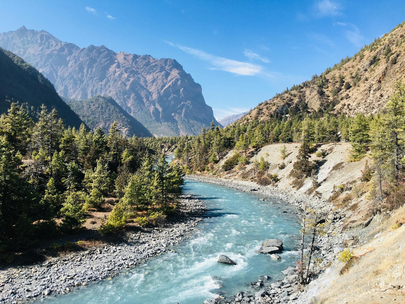
There is no weather station on the pass. The nearest long-record station on the east side is at Manang Airport, run by the Department of Hydrology and Meteorology (DHM).
| Month | Mean daily max (°C) | Mean daily min (°C) | Rain or snow (mm) | For the pass |
|---|---|---|---|---|
| January | 7.0 | −8.9 | 6.0 | Deep snow often |
| February | 8.6 | −6.7 | 15.1 | Deep snow often |
| March | 11.2 | −3.4 | 21.6 | Spring season |
| April | 14.3 | −0.5 | 38.5 | Spring season |
| May | 16.0 | 2.7 | 40.4 | Spring; snow in May 2026 |
| June | 18.9 | 7.6 | 54.7 | Monsoon normally from mid-June |
| July | 18.8 | 9.8 | 85.0 | Monsoon; wettest month |
| August | 19.2 | 9.7 | 67.0 | Monsoon |
| September | 17.9 | 7.5 | 59.7 | Autumn; heavy snow closed the pass from 24 Sep 2026 |
| October | 14.6 | 0.9 | 38.9 | Main autumn season |
| November | 11.6 | −4.4 | 1.1 | Driest month |
| December | 9.1 | −7.5 | 3.8 | Deep snow often |
Manang Airport station, 3,401 m, DHM 1991 to 2020. The pass is about 2,000 m higher and much colder and windier. Precipitation at this height can fall as snow.
Winter: deep snow often covers the pass and can make it impassable. We found no official seasonal closure date; closures follow the snow. For lower routes that work in the cold months, see our guide to winter treks in Nepal.
Can snow close Thorong La?
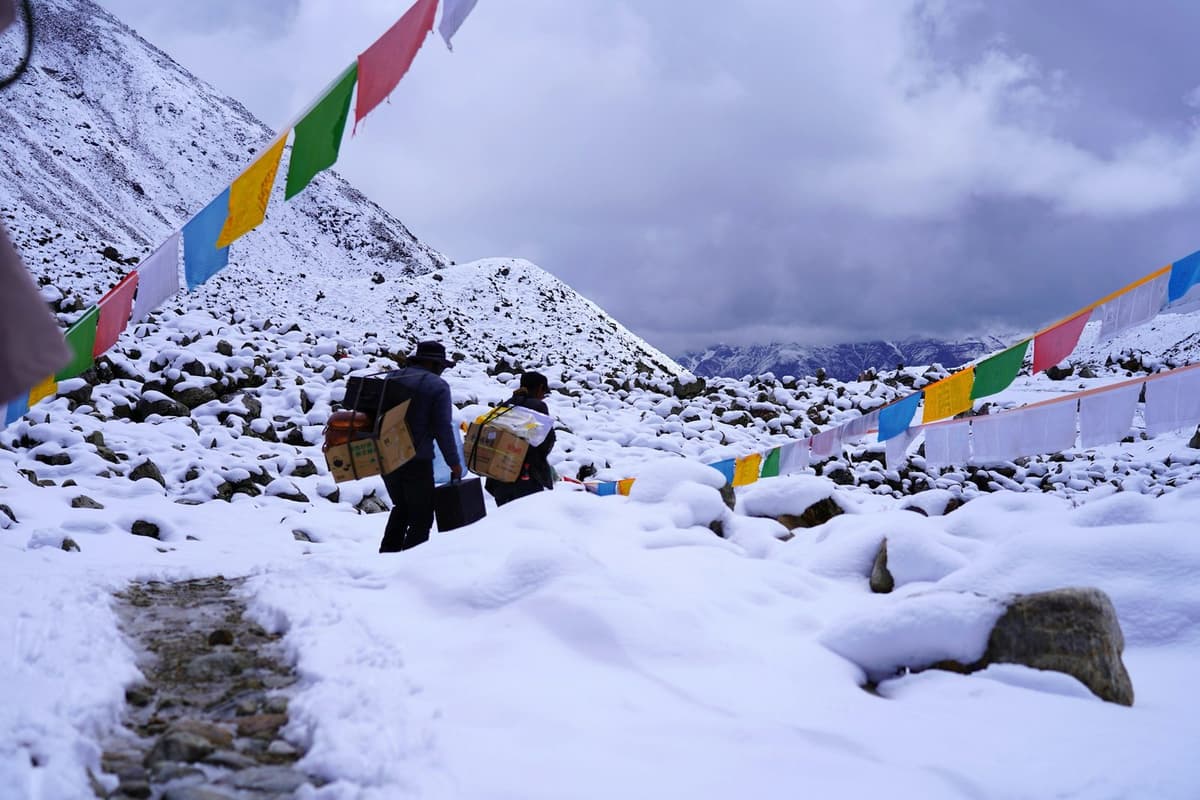
Yes. Snow has closed it in late September and late October in recent years, caught trekkers near it in May, and often covers it in winter. The worst disaster came in October 2014.
On 14 October 2014, heavy snow linked to Cyclone Hudhud hit the region, and Thorong La was among the worst-hit areas. HRA's general secretary, Basant Hamal, said more than 100 tourists were crossing the pass when the snow began. At least 43 people died in the storm across the Annapurna and Dhaulagiri areas (AFP, Reuters), and 407 people, including 226 foreigners, had been rescued when the search ended.
"We don't expect this kind of storm in October, but we also have no warning system to help us prepare for it."
Keshav Pandey, vice president, Trekking Agencies' Association of Nepal, to AFP, 16 October 2014
The recent record:
- Late October 2025: snow from 27 October stranded trekkers in Manang; hundreds came down from Tilicho Base Camp (Kathmandu Post, 28 October 2025), and work to reopen the Tilicho and Thorong La routes was still under way on 2 November.
- 6 May 2026: two Indian trekkers lost in snowfall near Thorong La were found uninjured by the Nepal Army and police near Drum Camp, on the Mustang side.
- 24 to 27 September 2026: heavy snow fully blocked the trail and more than 150 trekkers turned back, according to ACAP in Manang. The district administration barred trekking in the high areas, including Thorong La, Tilicho, Kang La and Ice Lake, from 25 to 27 September.
Is Thorong La open now?
Yes, as of our check on 27 October 2026. The pass reopened in the first week of October after locals cleared the snow, and trekkers are crossing into Mustang again. Conditions can change within a day, so we re-check before every departure.
Permit, guide and rescue
You need the Annapurna Conservation Area Project (ACAP) entry permit: NPR 3,000 for foreign nationals and NPR 1,000 for SAARC nationals, including Indians, tax included. Children under 10 do not need one. Buy it in advance, because permits issued at a check-post cost double. When you travel with us, we arrange your ACAP permit before you set off.
The main Circuit needs no restricted-area permit; the Nar-Phu side valley does. If you add Tilicho Lake, 4,919 m (ACAP), our Annapurna Circuit and Tilicho Lake trek from Kathmandu shows how the extra days fit.
Can you cross Thorong La without a guide? Not on our trips. A licensed guide walks with you on every trek we run.
Medical help. There is no HRA clinic at Phedi now: HRA says its Thorong Phedi clinic "has not been in operation now due to the technical reasons". The nearest HRA doctors are in Manang.
Rescue. Helicopters fly only in daylight and good weather. HRA doctors writing in Wilderness & Environmental Medicine put an evacuation from Manang at about USD 2,500 in the 2023 season. We recommend travel insurance that covers your trek's altitude and helicopter evacuation; we do not sell it.
Read next: Annapurna Circuit trek cost, Annapurna Circuit altitude profile and Muktinath Temple guide.
Frequently asked questions
How high is Thorong La Pass?
Thorong La is 5,416 m (17,769 ft), the figure the Annapurna Conservation Area Project uses in its annual report. The Nepal Tourism Board's Muktinath page gives a lower figure, 5,380 m. Either way, it is the highest point of the Annapurna Circuit and far above the roughly 2,450 m where altitude illness becomes a risk.
What time do you start crossing Thorong La, and how long does it take?
Most groups leave Thorong Phedi or High Camp between about 4 and 6 am, and your guide sets the exact time. Expect a long day, commonly 8 to 12 hours from Phedi to Muktinath: about four to five hours up, then four to six hours down. Starting early helps you avoid the strong winds that often rise later.
Is it better to sleep at Thorong Phedi or High Camp?
It depends on how you are acclimatising. Phedi, about 4,450 to 4,550 m, gives a lower night but a climb of about 870 to 970 m. High Camp, about 4,850 to 4,925 m, cuts the climb to about 490 to 570 m but means sleeping higher. If you have a headache or slept badly, stay lower. Your guide makes the call.
Can snow close Thorong La in autumn?
Yes. Heavy snow from 24 to 27 September 2026 blocked the pass, and more than 150 trekkers turned back. Snow also stranded trekkers in Manang from 27 October 2025, and two trekkers were rescued near the pass in May 2026. In winter, deep snow often makes it impassable. Keep at least one spare day in your plan.
Do you need a guide to cross Thorong La?
Not on our trips. A licensed guide walks with you on every trek we run. On crossing morning, your guide, who knows the route, decides when and how to cross, based on snow and the forecast. Local measures can also change after snow: in November 2025, trekkers without licensed guides were barred from Manang's upper areas while snow lay.
How do you avoid altitude sickness on Thorong La?
Acclimatise in Manang, about 3,500 m, and go up slowly: above about 3,000 m, add no more than about 500 m of sleeping height a night. Walk slowly, drink water, avoid alcohol early and never go higher with symptoms. Go down if they get worse. Visit the HRA aid post in Manang, and ask your doctor about preventive medicine such as acetazolamide.
Plan your Annapurna Circuit with us
We are a Kathmandu team: we arrange your ACAP permit, licensed guide, lodges and transport inside Nepal, and we check the pass, the Manang road and the forecast before you leave.
Our Annapurna Circuit trek page shows the full route over the pass. If you are still choosing between the Circuit and the Sanctuary, start with our Annapurna Base Camp trek page. Send us your dates and group size on WhatsApp or through our enquiry form, and we will tell you honestly whether the pass suits your plans and your season.
Your Nepal visa and international flights are your own arrangements. Official visa information is on the Nepal Tourism Board tourist-visa page.