


By Uncover Nepal Team · Checked by our Kathmandu travel team · Last checked 29 October 2026
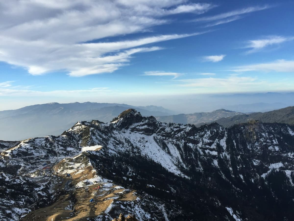
The Cho La day starts in the dark at Thagnak, with headtorches moving up a long hillside of boulders. Over the top you step onto a small glacier that often holds snow and ice. Beyond it, a short, steep band of rock drops towards the teahouses of Dzongla, below Chola Tse.
The Cho La Pass is a 5,420 m crossing in Sagarmatha National Park that joins the Gokyo valley to the Khumbu valley near Lobuche, on the trail to Everest Base Camp. It needs no technical climbing, but it is a long, steep day over boulders and a short glacier, started before dawn.
It is the pass that links a Gokyo trek with the Everest Base Camp trek, and this guide covers the crossing day, the ice, the season and how your guide decides when to cross.
Key facts
- Height
- 5,420 m (17,782 ft), the figure most sources use; a few operators print about 5,330 to 5,368 m (The Kathmandu Post, 26 May 2023; The Himalayan Times (RSS), 9 Mar 2017. 29 Oct 2026)
- What it links
- Gokyo valley to the Khumbu valley near Lobuche (Nepal Tourism Board, Gokyo Valley page. 29 Oct 2026)
- Where
- Solukhumbu district, Sagarmatha National Park (The Himalayan Times (RSS), 9 Mar 2017. 29 Oct 2026)
- Sleeping places
- Thagnak about 4,700 m (west); Dzongla about 4,830 m (east) (Operator itineraries; our trip page. 29 Oct 2026)
- Crossing day
- About 5 to 8 hours; about 8 to 9.5 km (Operator itineraries. 29 Oct 2026)
- Best months
- October to November, March to May (Nepal Tourism Board, Sagarmatha National Park page. 29 Oct 2026)
- Permits
- Sagarmatha National Park permit; Khumbu Trek-Card (Nepal Tourism Board; Khumbu Pasang Lhamu Rural Municipality. 29 Oct 2026)
In this guide
- Where is the Cho La Pass, and how high is it?
- Which direction do you cross the Cho La?
- What happens on the Cho La crossing day?
- Do you need microspikes for the Cho La?
- When is the best time to cross the Cho La?
- How do you stay safe and when do you turn back?
- What should you pack for the Cho La?
- Which permits do you need for the Cho La?
- Frequently asked questions
- Your next step
Where is the Cho La Pass, and how high is it?
The Cho La Pass sits in Solukhumbu district, inside Sagarmatha National Park, between the Gokyo valley to the west and the Khumbu valley to the east. It is 5,420 m (17,782 ft), the figure most guidebooks, operators and the national press use. A few operators print lower figures, from about 5,330 to 5,368 m.
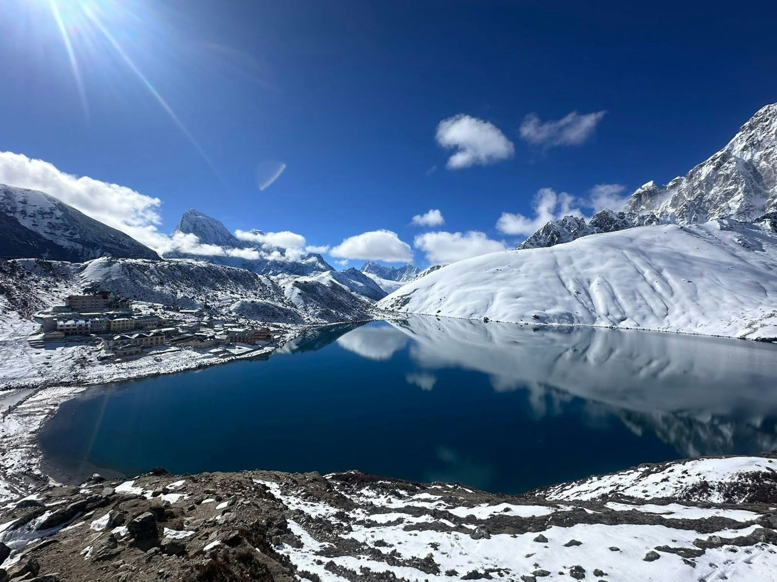
We found no official survey height, so treat 5,420 m as the common figure, not an official one. You sleep at Thagnak (also spelt Thangnak or Dragnag), about 4,700 m, on the west side, and at Dzongla, about 4,830 m, on the east. The pass is roughly 600 to 700 m above both, and that climb is what makes the day hard.
"There are two high passes leading out of the Gokyo valley, the Cho La pass being the most traveled, connecting with the Khumbu valley near Lobuche while the other is Renjo La pass that joins the trail between Thame and Nangpa La pass."
Nepal Tourism Board, Gokyo Valley page (trade.ntb.gov.np), checked 29 October 2026
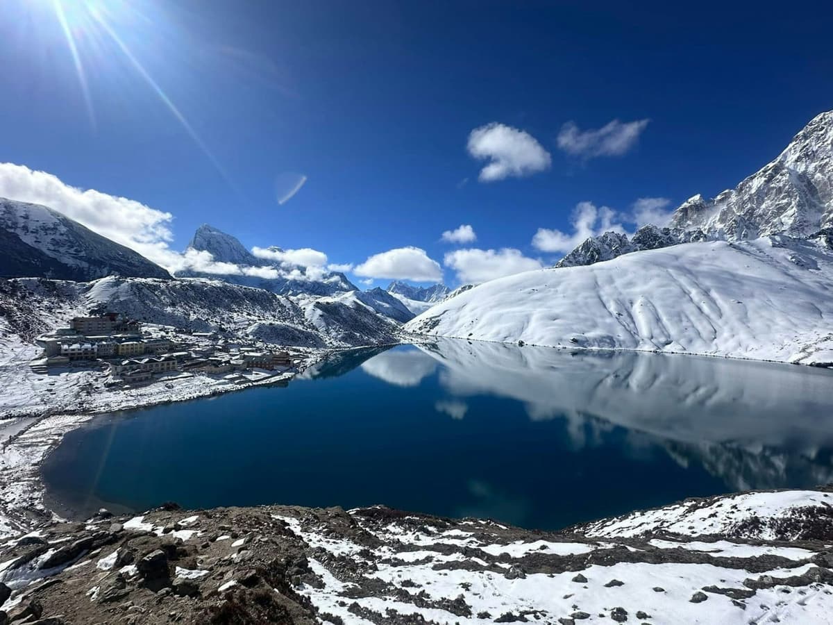
For the lakes themselves, read our Gokyo Lakes guide.
Which direction do you cross the Cho La?
Both directions are walked. On our trips we cross west to east: Gokyo to Thagnak, over the Cho La to Dzongla, then on to Lobuche and Base Camp. Many operators go east to west, after Base Camp. The direction you choose changes where you acclimatise first and the order of the hard ground.
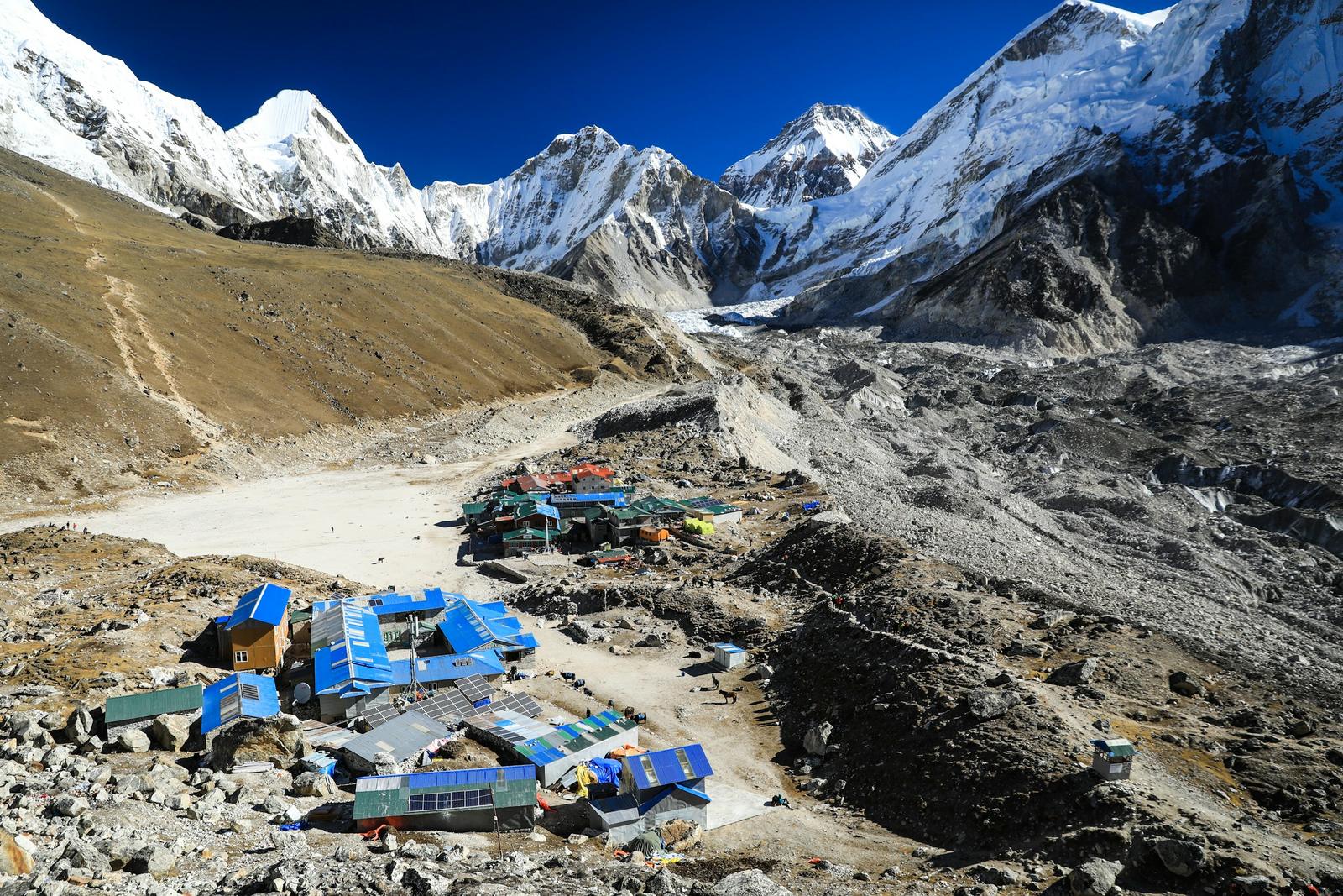
On our 14-day trip you sleep in the Gokyo valley, at Thagnak and at Dzongla before the higher nights at Lobuche (about 4,940 m) and Gorak Shep (about 5,164 m), below Everest Base Camp (5,364 m). East to west, the order on the pass flips: the steep scramble up from Dzongla comes first, and the long boulder slope becomes the descent.
What happens on the Cho La crossing day?
Operators plan about 5 to 8 hours for the crossing day in either direction, over about 8 to 9.5 km by their figures; snow and slow groups make it longer. West to east, you climb a long boulder slope from Thagnak, cross the pass and a short glacier, then go down a steep rock band to Dzongla.
| Place | Altitude | Typical hours | Source |
|---|---|---|---|
| Gokyo to Thagnak, the day before | About 4,750 m to about 4,700 m | A short half day | Our trip pages; operators |
| Thagnak, start | About 4,700 m | Before dawn | Operators; The Kathmandu Post 2023 |
| Boulder slope to the pass | Rising to the pass | Part of the day | Alan Arnette 2018; operators |
| Cho La | 5,420 m | Part of the day | See Key facts |
| Glacier below the pass, Dzongla side | Just below the pass | Short | Alan Arnette 2018; operators |
| Rock band towards Dzongla | Below the glacier | Short, steep | Operators |
| Dzongla, end | About 4,830 m | About 5 to 8 hours in all | Operators; our trip page |
| Dzongla to Lobuche, next day | About 4,940 m | A shorter day | Our trip pages; operators |
All rows checked 29 October 2026.
The Gokyo side: glacier and boulders
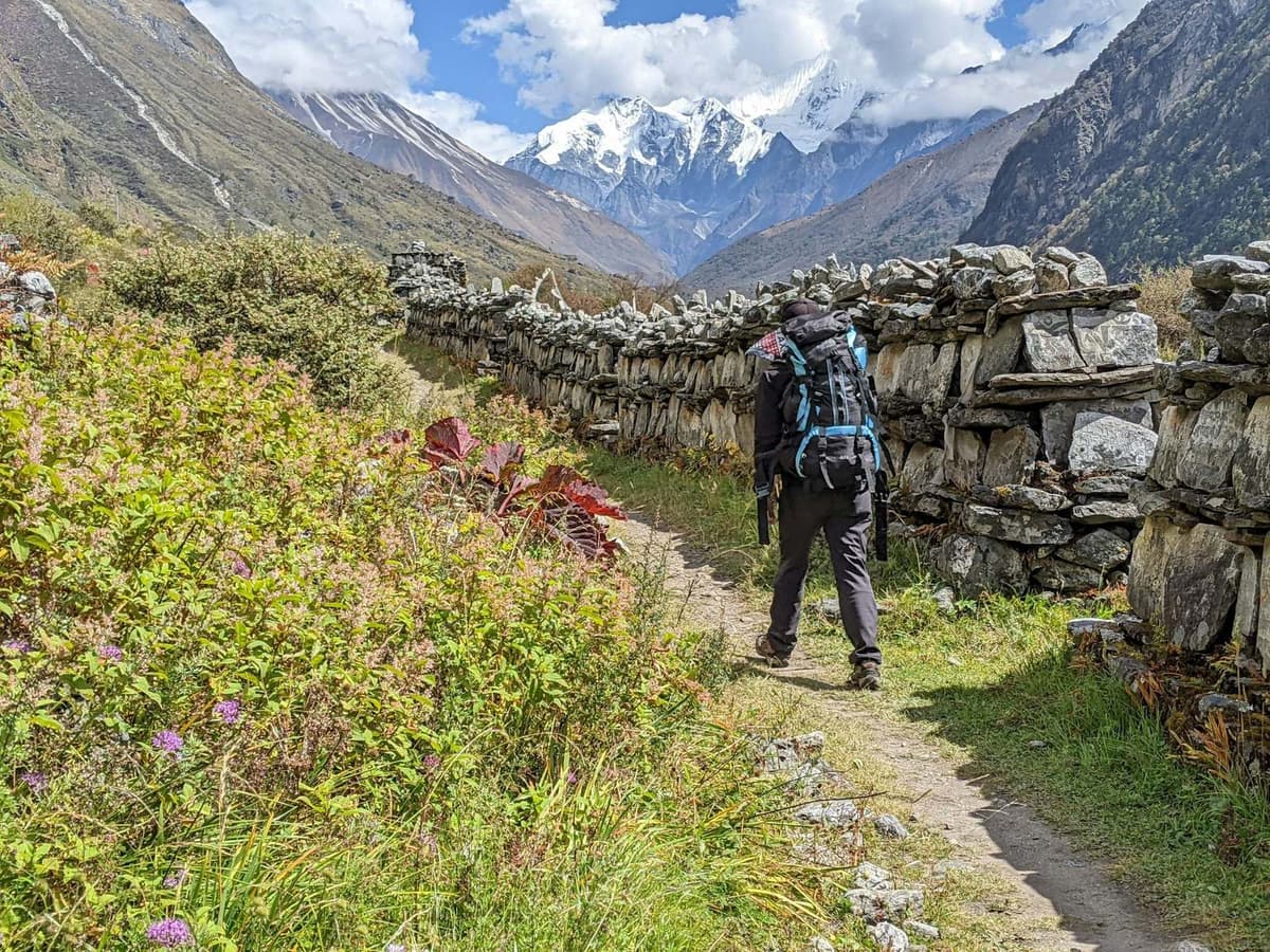
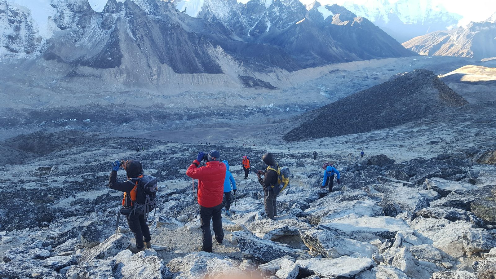
The walk from Gokyo to Thagnak crosses part of the Ngozumpa glacier, and on our 14-day trip you do it on the same day as Gokyo Ri. From Thagnak, the climb is a long slope of boulders with no easy path to see. One operator calls it an enormous wall of boulders where you follow your guide.
The Dzongla side: glacier and rock
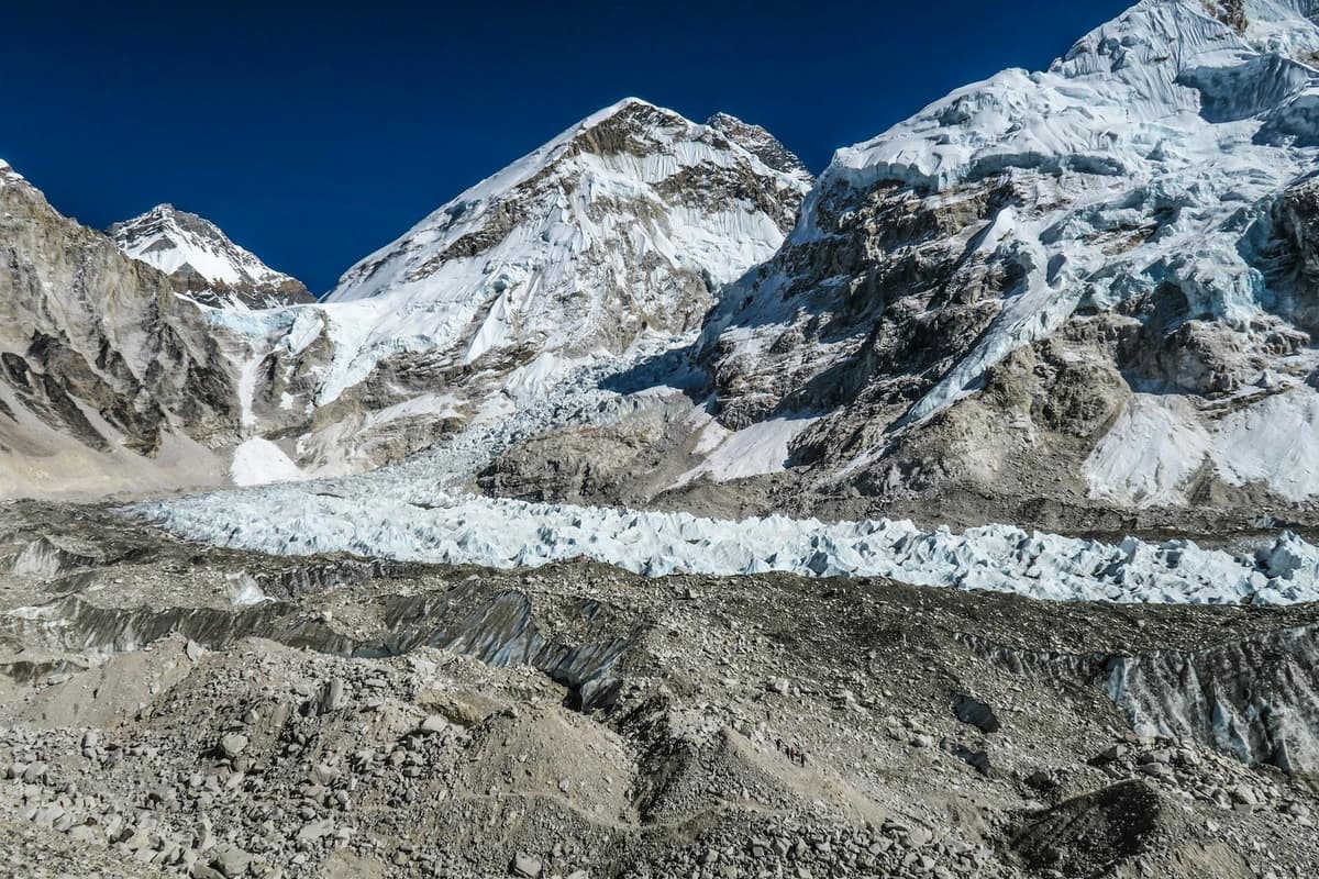
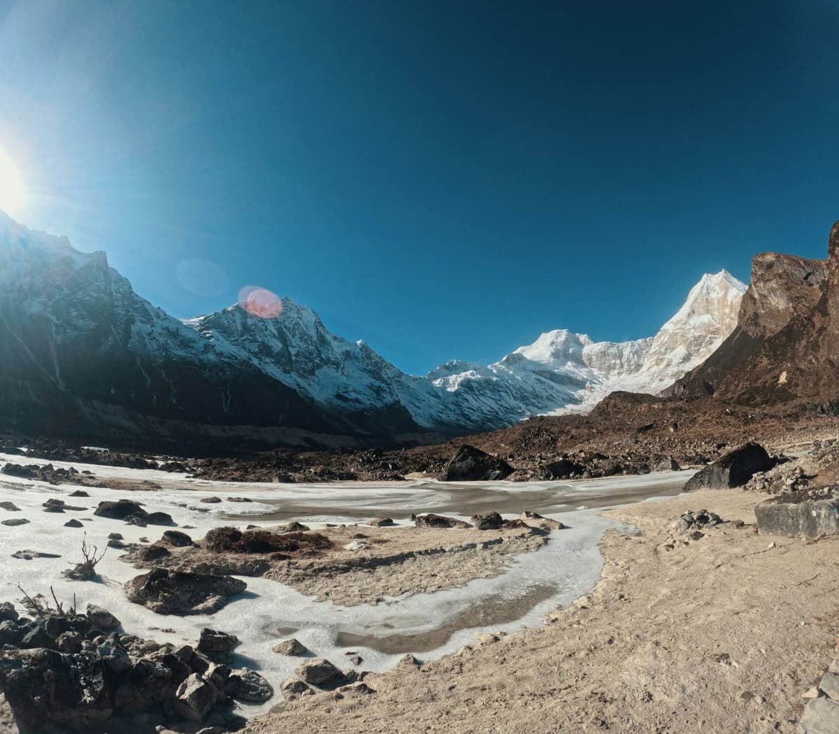
Just below the top on the Dzongla side is a short, fairly flat glacier crossing that often holds snow and ice. At its far edge, a short, steep rock band leads down towards Dzongla, and this is where you use your hands. After that, an easier trail runs down to the teahouses.
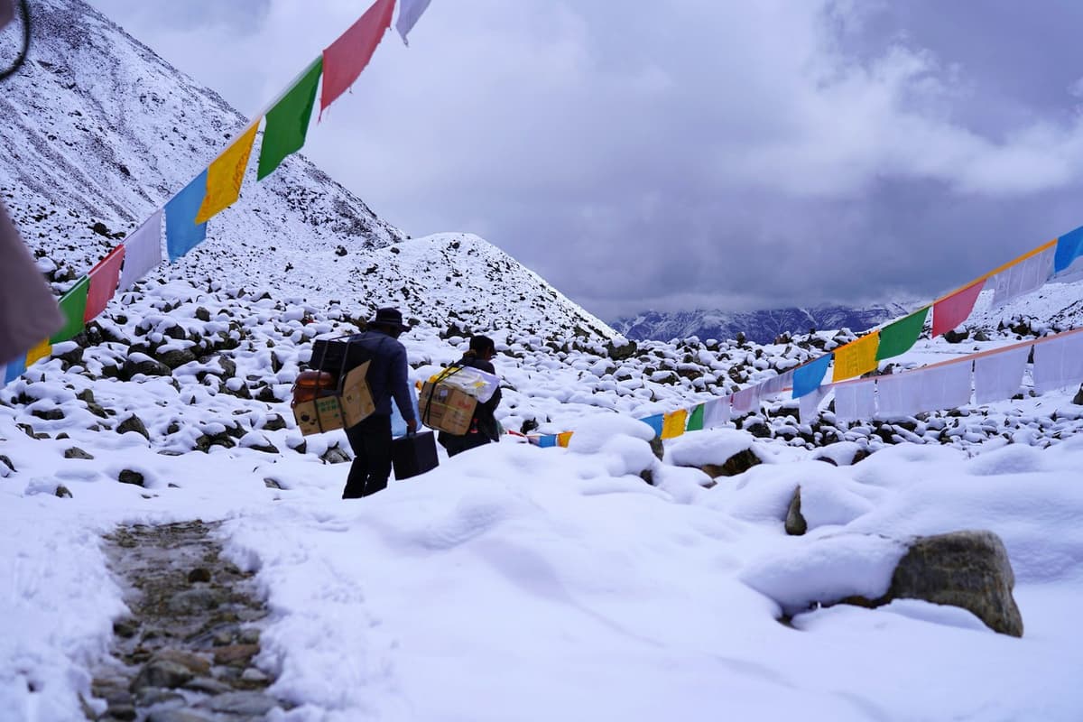
Snow can hide the line. In 2017 the national news agency RSS reported that the area lacked signboards and that some trekkers had gone missing after snow covered the track. The lesson holds: cross with a guide who knows the route, in settled weather.
Dzongla is a small cluster of teahouses (simple trekking lodges), and Thagnak has a few. Rooms can fill in October and November: the climber and writer Alan Arnette found every teahouse at Dzongla full in October 2018. Ask us about rooms for your dates.
Do you need microspikes for the Cho La?
Microspikes, light slip-on spikes for your boots, are worth carrying. The ground near the top can hold firm snow and ice, conditions change from week to week, and the packing list for our Three Passes trek asks for microspikes or crampons. Ask us what the pass has been like before your dates.
To use them well:
- Buy or rent them in Kathmandu and try them on your boots before you fly.
- Put them on before the icy ground, not halfway across it.
- Take them off once you are back on dry rock.
When is the best time to cross the Cho La?
The Nepal Tourism Board gives October to November and March to May as the best seasons for Sagarmatha National Park, and our trip pages give March to May and September to November. There are no fixed closing dates for the pass; closures are weather events.
| Season | At the pass | Source |
|---|---|---|
| Spring, March to May | A main season | Nepal Tourism Board; our trip pages |
| Monsoon, June to September | Rainy; about 90% of the year's precipitation at the Pyramid station falls in these months | Nepal Tourism Board; Salerno et al. 2025 |
| Autumn, October to November | Clearest skies after the monsoon, according to NTB; rooms can fill | NTB climate and Sagarmatha pages |
| Winter, December to February | Snowy; snow often makes the pass hard or impossible to cross | Nepal Tourism Board; operators |
All rows checked 29 October 2026.
No weather station sits at pass height. The nearest high one, Pyramid (5,035 m, on the Base Camp side), has a mean annual air temperature of minus 2.5 °C, according to a 2025 data paper.
Autumn snow does happen. On 26 September 2026, nepalnews reported that snow in the upper Everest region was more than half a metre deep, and Khumbu Pasang Lhamu Rural Municipality advised trekkers not to head towards snowbound areas such as Gokyo. Seven tourists were brought down from the Island Peak (Imja Tse) area, not the Cho La. Our best time to trek Everest Base Camp guide has the month-by-month picture.
How do you stay safe and when do you turn back?
Your guide, who knows the route, decides when and how to cross, based on snow and the forecast. Fresh snow, low cloud and worsening altitude symptoms are all good reasons to wait or to go back down the valley.
What you can do yourself:
- The evening before, ask your guide about the forecast and the snow on the pass.
- If fresh snow has buried the route or the weather is closing in, accept a wait or a retreat. The weather, not a calendar, decides when the pass is open.
- If your altitude symptoms are getting worse, do not go higher.
- Ask us about spare days when you plan, so a wait does not cost you the trip.
The classic Everest Base Camp route goes up the main Khumbu valley and does not cross the Cho La, so ask us which route fits you. Our EBC trek difficulty guide compares the effort.
Altitude
Symptoms are possible from about 2,450 m. Above 3,000 m, do not raise your sleeping height by more than about 500 m a night, and take a rest day every 3 to 4 days. Walk slowly ("bistarai, bistarai", Nepali for "slowly, slowly"), drink enough, skip alcohol early on. Never go higher with symptoms; go down if they get worse. Ask your doctor before the trip about preventive medicine such as acetazolamide. Garlic soup is a comforting local habit that helps you drink more, not a proven cure. If symptoms are severe, descend at once and get help; our guide arranges a rescue if needed. More in our altitude sickness guide.
Help and getting there
The nearest Himalayan Rescue Association (HRA) aid post is at Pheriche, on the Base Camp side; there is none in the Gokyo valley. This autumn its volunteer doctors are due to work there until the end of November 2026, according to HRA's chief executive (The Rising Nepal, 7 October 2026).
Our trips start with a flight to Lukla, 2,846 m. In peak season these flights may leave from Ramechhap (Manthali), usually about 4 to 5 hours' drive from Kathmandu, and every Lukla flight depends on the weather. Our Lukla airport guide explains the delays.
What should you pack for the Cho La?
Pack for cold, rough ground and a long day. Thamel, Kathmandu's trekking district, has many shops that rent or sell trekking gear. The list on our trip pages:
- Warm four-season sleeping bag and down jacket
- Layered clothing, warm socks, broken-in boots
- Gloves, warm hat, buff, trekking poles, microspikes
- Sun protection
- Soft duffel within the flight weight limit, plus a daypack
- Water bottle with purification, power bank
Which permits do you need for the Cho La?
You need the Sagarmatha National Park entry permit and the Khumbu Pasang Lhamu Rural Municipality Trek-Card (the local municipality's entry card), and we arrange both for our trekkers.
- Sagarmatha National Park: NPR 3,000 for foreigners, NPR 1,500 for SAARC nationals, per person per entry; children below 10 free; plus any VAT charged at issue.
- Khumbu Trek-Card: NPR 3,000, or NPR 2,000 for SAARC countries and China; issued at the Tourist Information Center in Lukla with your passport and a recent photo.
Frequently asked questions
How hard is the Cho La Pass, and do I need microspikes?
It is one of the toughest days of the trek, with sections of glacier and steep rock, but it is walking, not technical climbing. Carry microspikes: snow and ice near the top change from week to week, and our Three Passes packing list asks for microspikes or crampons.
What gear and sleeping bag do I need, and can I rent it in Kathmandu?
Bring a warm four-season sleeping bag and a down jacket. Many shops in Thamel, Kathmandu, rent or sell both. Check the zips, fill and size before you leave Kathmandu. For the Cho La, add trekking poles and microspikes.
Is Ama Dablam Base Camp worth adding to an EBC trek?
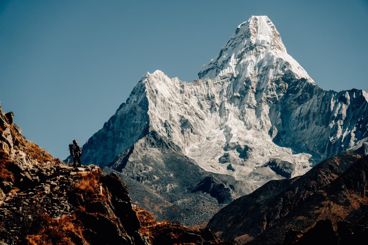
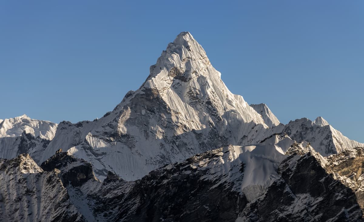
It can be, if you have spare days and want a close look at Ama Dablam, a 6,812 m peak. Ama Dablam Base Camp, which operators put at about 4,570 to 4,750 m, is usually a return day walk from Pangboche, on the main Base Camp trail. It is off the Cho La route. We also run a separate Everest Base Camp and Ama Dablam Base Camp trek; ask us whether it fits your days.
How high is Gokyo Ri, and should I climb Gokyo Ri or cross Renjo La?
Gokyo Ri is 5,357 m, according to the Nepal Tourism Board, and Renjo La, at 5,360 m, is about the same height. A Kathmandu Post writer said in 2023 that their views are considered identical. Choose by route: Gokyo Ri is a climb from Gokyo village and back, while Renjo La, often called the easiest of the three passes, takes you out of the valley towards Thame.
Do I need travel insurance with helicopter rescue for the Cho La?
Yes, we strongly advise it. Get cover that reaches the highest point of your route, Kala Patthar on our 14-day trip, and includes helicopter evacuation. Check the altitude limit and the helicopter clause, and keep your insurer's emergency number on paper. "Most travel insurance policies require the insurer to be contacted before an evacuation takes place," The Kathmandu Post reported in March 2026. Insurance is your own arrangement; our EBC trek cost guide notes that operators report an uninsured helicopter evacuation from the Base Camp area costs several thousand US dollars.
Do I need a guide to cross the Cho La?
The rules disagree. The Nepal Tourism Board's 2023 rule lists Everest routes as guide-required, while Khumbu Pasang Lhamu Rural Municipality says a guide is not compulsory and issues its Trek-Card to solo trekkers. A licensed guide walks with you on every trek we run.
Your next step
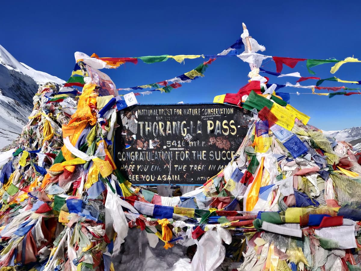
To join Gokyo and Base Camp in one trip, start with our Everest Base Camp trek page, then see the Gokyo, Cho La Pass and Everest Base Camp trek, the Gokyo Lakes trek if the lakes are your main goal, or the Everest Three Passes trek with Gokyo Lakes. Comparing high passes? Read our Thorong La pass guide. Ask us on WhatsApp or through the enquiry form with your dates, and we will tell you which fits.