By Uncover Nepal Team · Checked by our Kathmandu travel team · Last checked 27 October 2026
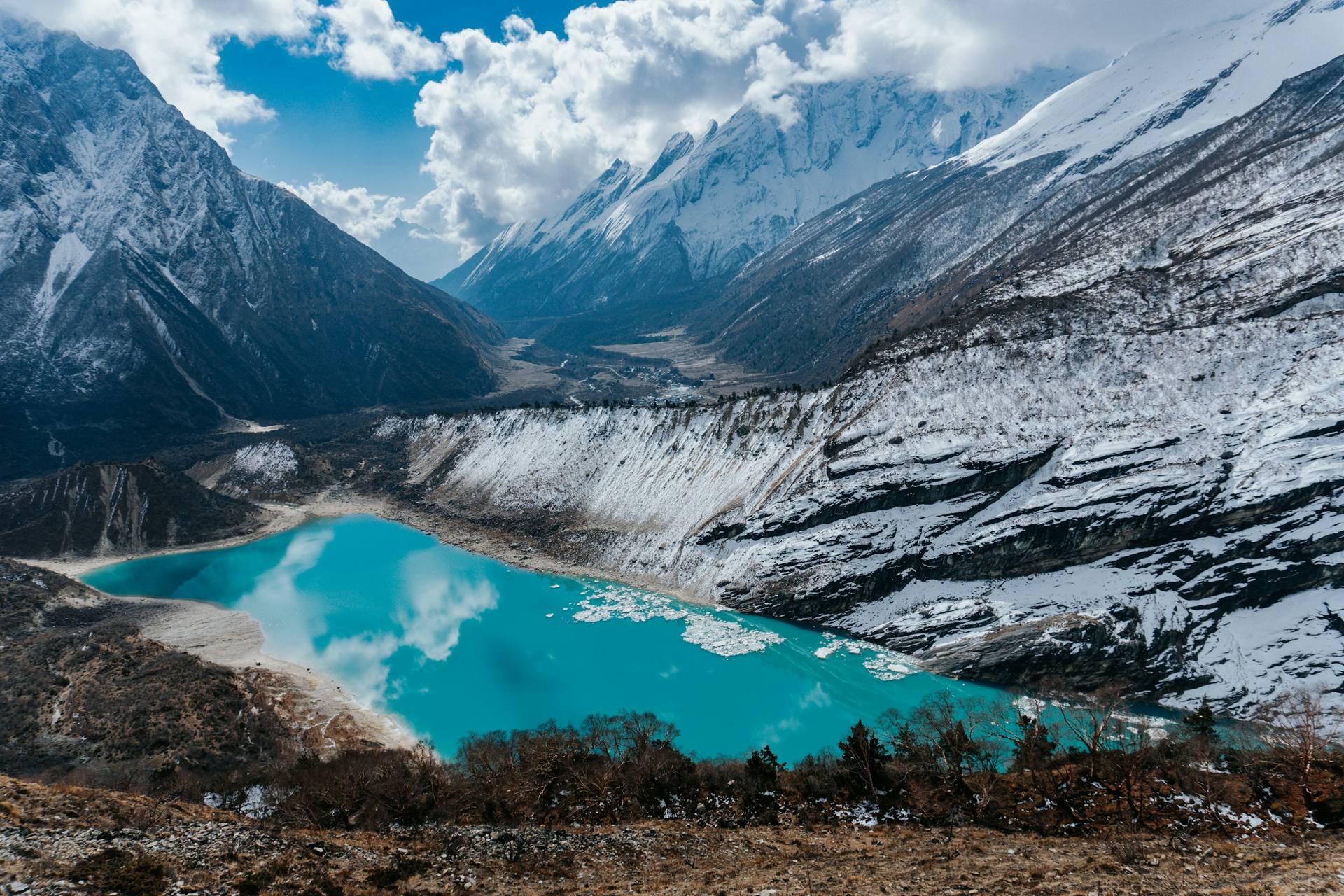
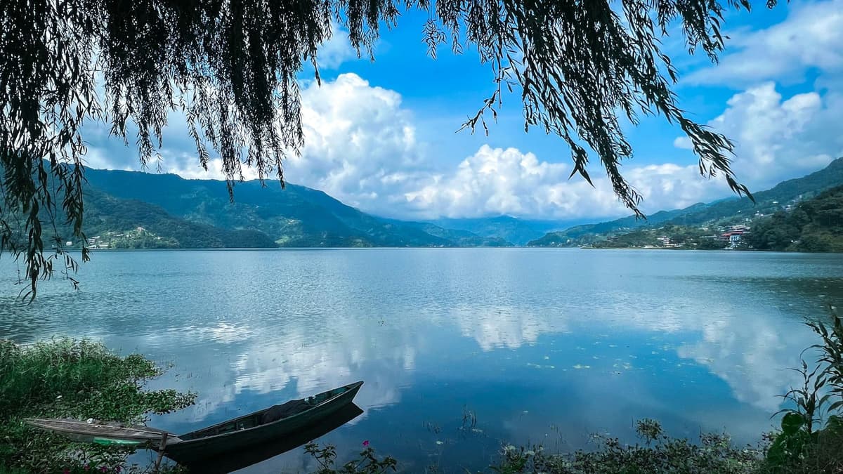
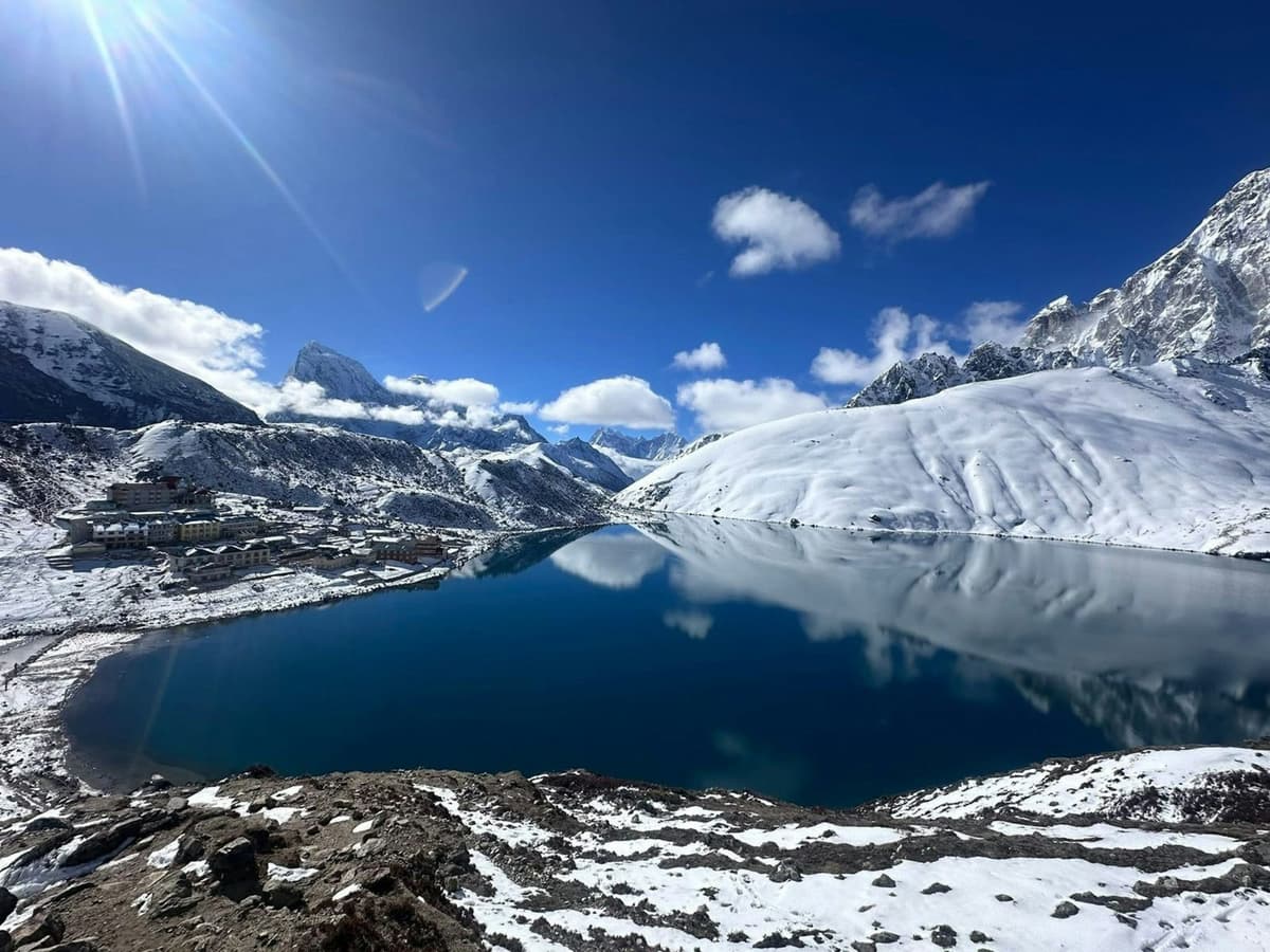
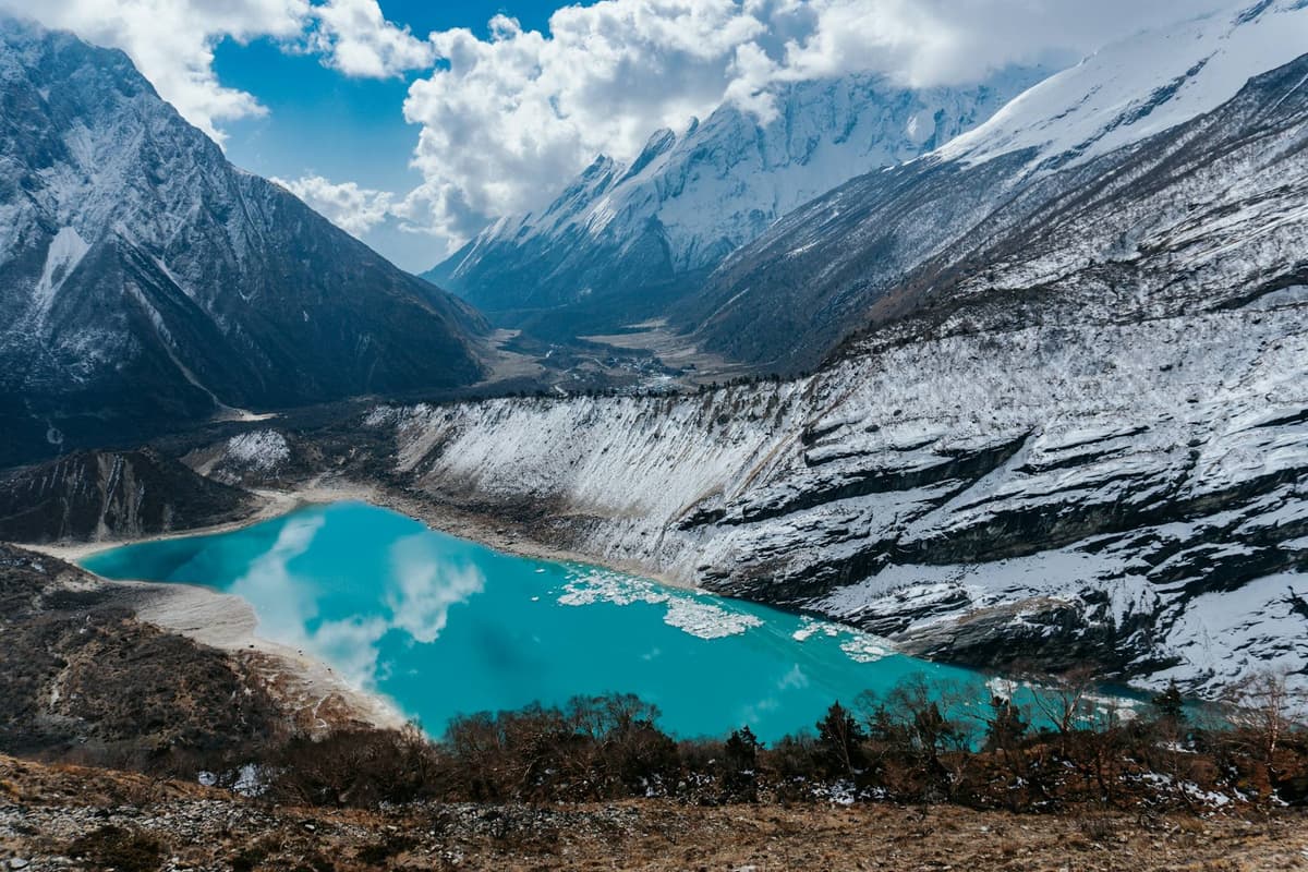
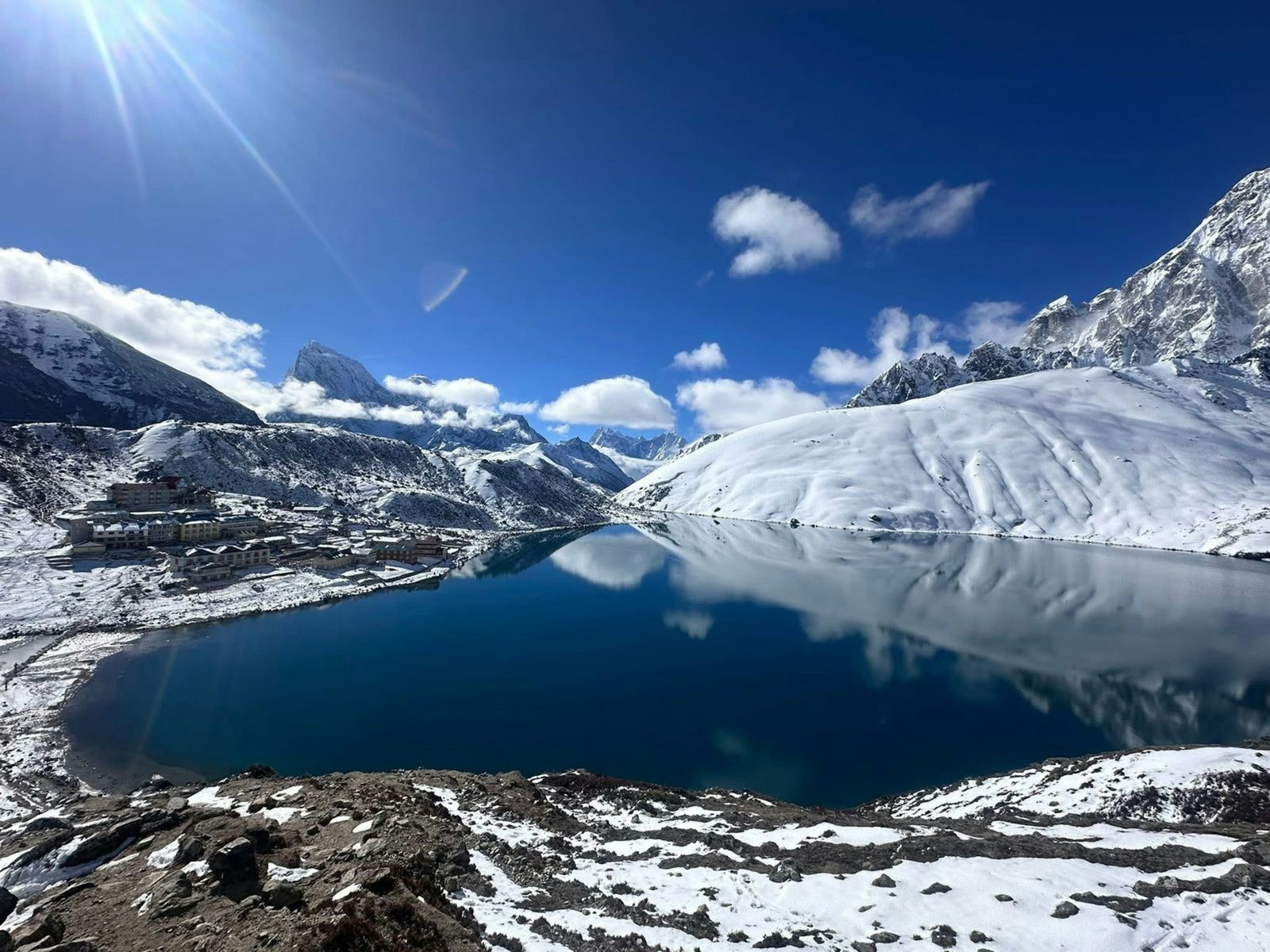
Past the teahouses at Pangkha, the trail climbs the terminal moraine of the Ngozumpa glacier. Then the first lake appears, Longbanga, and soon after it Taujung. A little further on, the lodges of Gokyo line the eastern shore of the third lake, Dudh Pokhari, with the glacier's rubble ridge running alongside.
The Gokyo lakes are glacier-fed lakes at 4,710 to 4,950 m in Sagarmatha National Park, across the Cho La from the Everest Base Camp trail. The Ramsar site holds 19 lakes, and six are counted as the main ones. Go in autumn or spring, and acclimatise: Gokyo village sits at about 4,750 to 4,790 m.
You can walk straight up the Gokyo valley from Namche, or link the lakes with the Everest Base Camp trek by crossing the Cho La. This guide covers each lake, how high you sleep, the routes, the seasons, and the medical help that is, and is not, in the valley.
In this guide
- Key facts
- What are the Gokyo lakes?
- The six lakes, one by one
- How high are the Gokyo lakes?
- Gokyo Ri and the Ngozumpa glacier
- How do you get to Gokyo?
- When is the best time to visit the Gokyo lakes?
- Altitude sickness and medical help
- Permits, Lukla flights and lodges
- Sacred lakes: Janai Purnima
- How to plan a Gokyo trek, step by step
- Frequently asked questions
Key facts
- Protected status
- "Gokyo and associated lakes", Ramsar Site no. 1692, designated 23 September 2007 (Ramsar Sites Information Service, 27 Oct 2026)
- Ramsar site
- 7,770 ha, with 196.2 ha of water in 19 lakes; six main lakes by the Nepal Tourism Board's count (Ramsar information sheet; Nepal Tourism Board, 27 Oct 2026)
- Lake heights
- 4,710 m (Longbanga Cho) to 4,950 m (Ngozumba Cho) (Ramsar Sites Information Service, 27 Oct 2026)
- Gokyo village
- About 4,750 to 4,790 m, depending on the source (Cicerone guidebook (via Wikipedia); trek operators, 27 Oct 2026)
- Gokyo Ri viewpoint
- 5,357 m (Nepal Tourism Board, 27 Oct 2026)
- Park entry fee
- Foreigners NPR 3,000 per person per entry, plus any VAT charged at issue (Nepal Tourism Board, 27 Oct 2026)
- Local Trek-Card
- NPR 3,000 (other countries); NPR 2,000 (SAARC countries and China) (Khumbu Pasang Lhamu Rural Municipality, 27 Oct 2026)
- Nearest HRA aid post
- Pheriche, on the Base Camp side; none in the Gokyo valley (Himalayan Rescue Association, 27 Oct 2026)
What are the Gokyo lakes?
The Gokyo lakes sit at the head of the Dudh Kosi river, inside Sagarmatha National Park in Solukhumbu district. The Nepal Tourism Board calls Gokyo Lake "an oligotrophic lake", meaning its water is low in nutrients.
Since 23 September 2007 they have been a Ramsar wetland of international importance, with 196.2 ha of open water across 19 lakes. The national park, set up in 1976, became a World Heritage Site in 1979.
Water arrives as seepage from the Ngozumpa glacier and in streams from the glacier and the Renjo La side. It drains south to the Dudh Kosi through Taujung and Longbanga.
The 2006 Ramsar information sheet estimated over 7,000 visitors a year, and the Ramsar listing warns that "Garbage and sewage left by visitors is difficult to dispose of". Carry your rubbish out and refill a bottle rather than buying plastic.
The six lakes, one by one
The Nepal Tourism Board counts six main lakes, and the Ramsar information sheet's table also lists six. Walking up the valley you pass Longbanga and Taujung before Dudh Pokhari, the third lake, with Gokyo village on its shore. Thonak, the fourth, is further north. Beyond that, sources disagree on the order, so we name the lakes rather than number them.
| Lake | Height | Area | What to know |
|---|---|---|---|
| Longbanga Cho (Longabanga) | 4,710 m | Not published | First on the way up; the chain drains out through it |
| Taujung Cho (Taujon) | 4,728 m | 16.95 ha | Second on the way up |
| Gokyo Cho (Dudh Pokhari) | 4,734 m | 42.69 ha | Third; Gokyo village is on its eastern shore |
| Thonak Cho | 4,834 m | 65.07 ha | Fourth, and the largest by area |
| Ngozumba Cho (Ngozumpa) | 4,950 m | 14.39 ha | Highest lake with a published height |
| Gyazumpa Cho | No official height | 29 ha | The Ramsar table lists a sixth lake of 29 ha without a name; secondary sources name it Gyazumpa |
How deep are they? A 2012 survey found the second, third and fourth lakes deeper than previously assumed; we have not seen its depth figures, so we quote none.
How high are the Gokyo lakes?
The Gokyo lakes lie between 4,710 m and 4,950 m. The CDC treats sleeping at about 2,450 m (8,000 ft) or higher as a risk for altitude illness, so every night here is a high night.
Gokyo village has two published heights: 4,750 m in Kev Reynolds' Cicerone guide, as Wikipedia cites it, and 4,790 m on our itinerary and other operators' pages. The lake beside it is surveyed at 4,734 m.
What matters most is where you sleep. On the direct route:
| Night stop | Height | Gain from the night before |
|---|---|---|
| Namche Bazaar (two nights) | 3,440 m | Second night for acclimatisation |
| Dole | About 4,100 m; sources give 4,050 to 4,200 m | About 670 m |
| Machhermo | 4,470 m | About 360 m |
| Gokyo | About 4,750 to 4,790 m | About 280 to 320 m |
| Gokyo Ri (day climb) | 5,357 m | Back down to Gokyo to sleep |
Namche to Dole is a sleeping-height gain of roughly 670 m, more than the CDC's guide of about 500 m a night above 3,000 m. Some itineraries, ours included, make that step after two nights in Namche. To split that climb, ask us about a night at Phortse Thanga or Mong La before Dole. Either way, your guide sets the pace.
Gokyo Ri and the Ngozumpa glacier
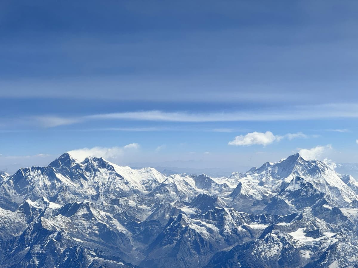
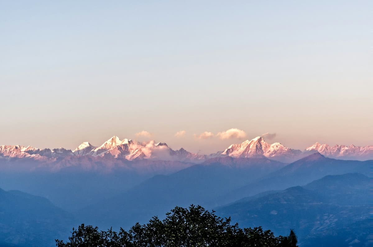
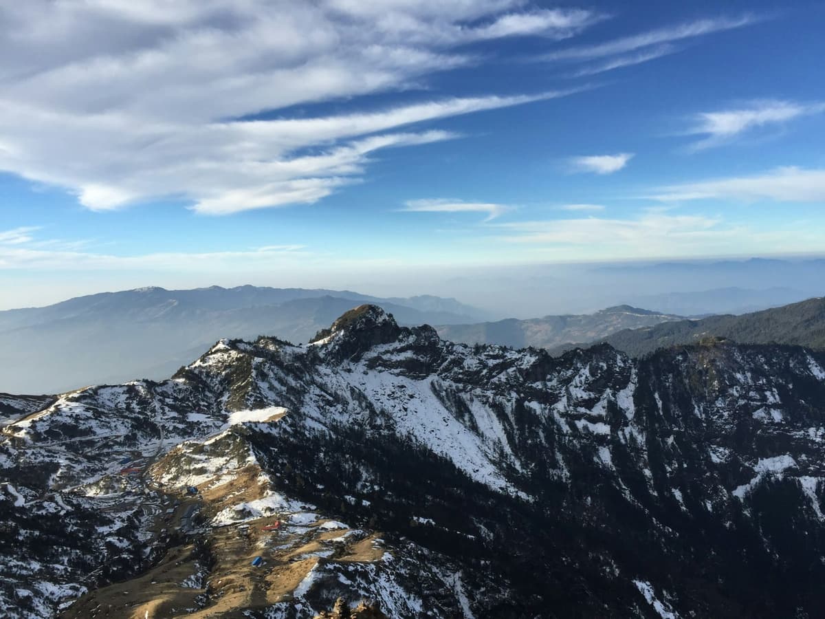
Gokyo Ri, 5,357 m, is the viewpoint above the village and the highest point of the out-and-back route. It is a trekking viewpoint, not a mountaineering peak. Plan on most of a morning, up and down. On a clear day the top looks out to four 8,000-metre peaks: Everest, Lhotse, Makalu and Cho Oyu. Everest is 8,848.86 m, by the joint Nepal-China figure of 2020.
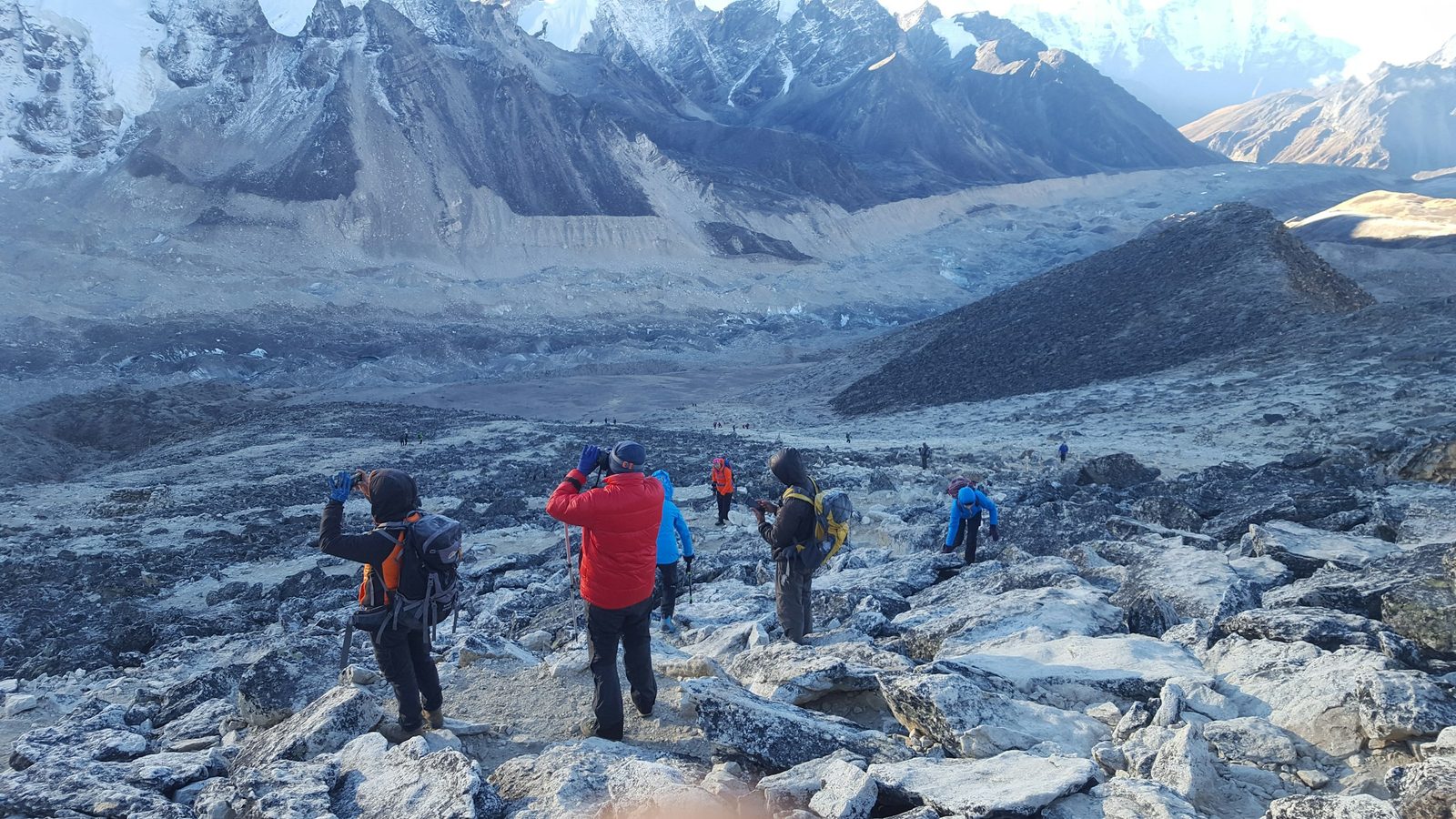
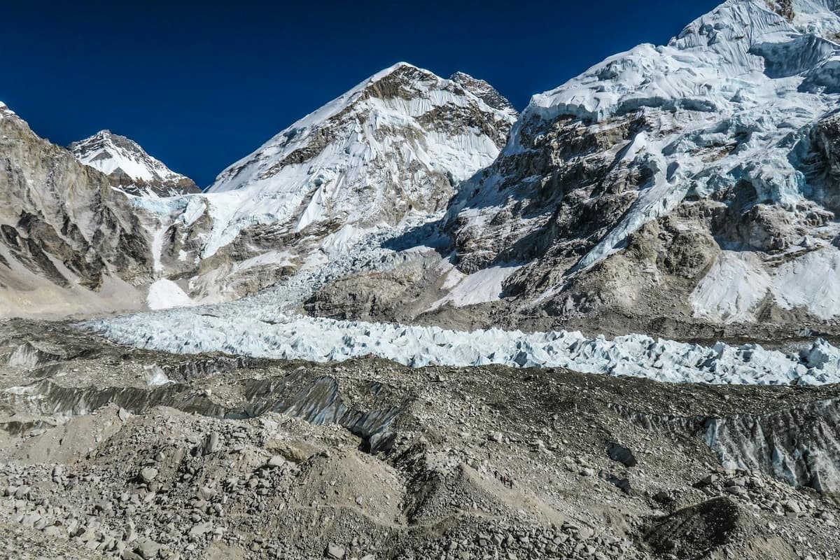
Beside the lakes, the Ngozumpa glacier fills the valley floor. Glacier researchers give it as about 18 km long (Journal of Glaciology, 2016).
An EU research summary from 2017 says a lake forming on the Ngozumpa could reach 7 km in length if its moraine dam stays in place, and that meltwater pressing on moraine dams brings a risk of outburst floods.
How do you get to Gokyo?
The Nepal Tourism Board describes two ways in: trek directly to Gokyo, or visit after Everest Base Camp. Two high passes lead out of the valley, and the Cho La is the most used. A helicopter charter is also possible.
| Route | Pass to cross | Typical length |
|---|---|---|
| Direct: Namche, Dole, Machhermo, Gokyo and back | None | About 10 days in one operator's plan |
| Gokyo, Cho La and Everest Base Camp | Cho La, 5,420 m | 14 days on our itinerary |
| Three Passes, via the Renjo La | Renjo La, 5,360 m on our itinerary, then the Cho La and Kongma La | 18 days on our itinerary |
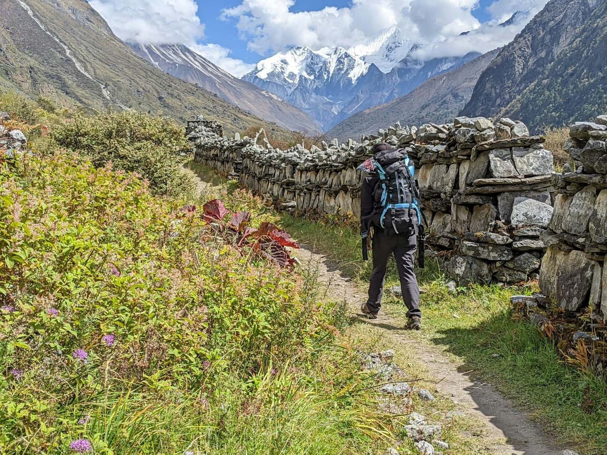
Straight up the valley. The Nepal Tourism Board says the trek "goes up the Everest trail only as far as the teahouses at Kenjoma" (Kyangjuma). The trail then climbs towards the Mong La pass, drops steeply to the Dudh Kosi, and climbs through Dole, Luza and Machhermo, past Pangkha and up the moraine to Gokyo. You return the same way.
Over the Cho La. The pass, at 5,420 m, links the Gokyo valley with the Khumbu valley near Lobuche, with Thagnak (4,700 m) on the Gokyo side and Dzongla (4,830 m) on the other. The Gokyo side crosses the Ngozumpa glacier. Our Gokyo, Cho La and Everest Base Camp trek does the lakes first, then crosses to Dzongla and goes on to Lobuche and Gorakshep, with about 5 to 8 hours of walking a day.
"The route is extremely rocky, filled with boulders."
Alan Arnette, on crossing the Cho La, alanarnette.com, 15 October 2018
Your guide, who knows the route, decides when and how to cross, based on snow and the forecast.
When is the best time to visit the Gokyo lakes?
The best time to visit the Gokyo lakes is October and November, when the Nepal Tourism Board says the clearest skies follow the monsoon; spring is the other good season. The monsoon normally leaves around 2 October, but in 2026 it did not finish withdrawing until 14 October.
Lukla weather station, 2,786 m (Department of Hydrology and Meteorology, 1991-2020). There is no weather record for Gokyo itself. It is about 2,000 m higher than Lukla and much colder; temperatures in Nepal drop roughly 6 °C for every 1,000 m you climb.
| Month | Average high | Average low | Precipitation |
|---|---|---|---|
| October | 16.8 °C | 7.4 °C | 102.9 mm |
| November | 13.8 °C | 2.4 °C | 6.2 mm |
| December | 11.1 °C | -0.5 °C | 0.5 mm |
| January | 8.3 °C | -2.9 °C | 15.3 mm |
| April | 16.6 °C | 5.7 °C | 58.7 mm |
| May | 16.7 °C | 8.0 °C | 127.6 mm |
| July | 18.4 °C | 13.2 °C | 529.8 mm |
Higher up, Namche's November average low is -3.8 °C (FAO, period not stated). Above Gokyo, the Pyramid research station at 5,035 m on the Khumbu side gets nearly nine-tenths of its precipitation between June and September.
- October and November: the clearest skies; expect frost at night.
- December to February: dry and very cold; many lodges close, so we confirm which are open before you go.
- Spring: the second-best season; precipitation builds into May.
- June to September: the monsoon, and flights stop when cloud closes in.
For the wider region month by month, see the best time for the Everest Base Camp trek.
Altitude sickness and medical help
At Gokyo you sleep far above the 2,450 m level where the CDC says altitude illness becomes a risk. Follow the same rules we use on every high trek:
- Go up slowly. Above about 3,000 m, add no more than about 500 m of sleeping height a night, and an extra night for every 1,000 m.
- Walk slowly, drink water and avoid alcohol in the first days high up.
- Know the early symptoms: headache, nausea, tiredness, dizziness and poor sleep.
- Never go higher to sleep with symptoms, and descend if they get worse at rest.
- Ask your doctor about preventive medicine such as acetazolamide.
Garlic soup is a comforting local tradition, not a proven cure. Our guide to altitude sickness on Nepal treks goes deeper.
Is there medical help in the valley? There is no Himalayan Rescue Association aid post in Machhermo or anywhere else in the Gokyo valley. The rescue posts that the International Porter Protection Group (IPPG) and Community Action Nepal ran at Machhermo and Gokyo were forced to close in January 2020, when the rural municipality refused IPPG permission to keep operating. We have found no report that either has reopened.
"We have always viewed ourselves as guests of the Sherpas of the Gokyo Valley"
Dr Nick Mason, Chair of IPPG, in an open letter quoted by Nepali Times, 18 January 2020
A private clinic was operating in Gokyo in 2022; we could not confirm it is open this season. The nearest HRA aid post is at Pheriche, at 14,343 ft by HRA's figure, on the Base Camp side, open in the spring and autumn seasons; this autumn its doctors are due to work there until the end of November 2026 (The Rising Nepal, 7 October 2026). Plan as if there is no doctor close by, and treat going down early as the right call.
The risk is real: in May 2022 a trekker from Mumbai died in Gokyo with symptoms of high-altitude pulmonary oedema (Everest Chronicle). A licensed guide walks with you on every trek we run.
Permits, Lukla flights and lodges
You need two permits, because the lakes lie inside both the national park and the rural municipality:
- Sagarmatha National Park entry permit: NPR 3,000 for foreigners, plus any VAT charged at issue; NPR 1,500 for SAARC nationals; per person per entry; children under 10 free.
- Khumbu Pasang Lhamu Rural Municipality Trek-Card: NPR 3,000 for visitors from other countries, NPR 2,000 for SAARC countries and China, issued at the Tourist Information Centre in Lukla with your passport and a recent photo.
We arrange the Sagarmatha National Park entry permit and the Khumbu municipality Trek-Card for you.
Lukla flights. Our Gokyo itineraries start and finish at Lukla, whose airstrip sits at 2,846 m. In busy seasons most fixed-wing flights leave from Manthali in Ramechhap, and all fly only under visual flight rules; holds of several days happen, as at the start of November 2025. We can book your Lukla flights, but nobody can promise a date, so keep spare days before your flight home. Our Lukla airport guide covers the Ramechhap transfer and cancellations.
Lodges. Almost every building in Gokyo is a guesthouse for trekkers. One operator describes Machhermo as a cluster of guesthouses, says Dole has few beds, and lists charging and wifi as paid extras where they exist.
Sacred lakes: Janai Purnima
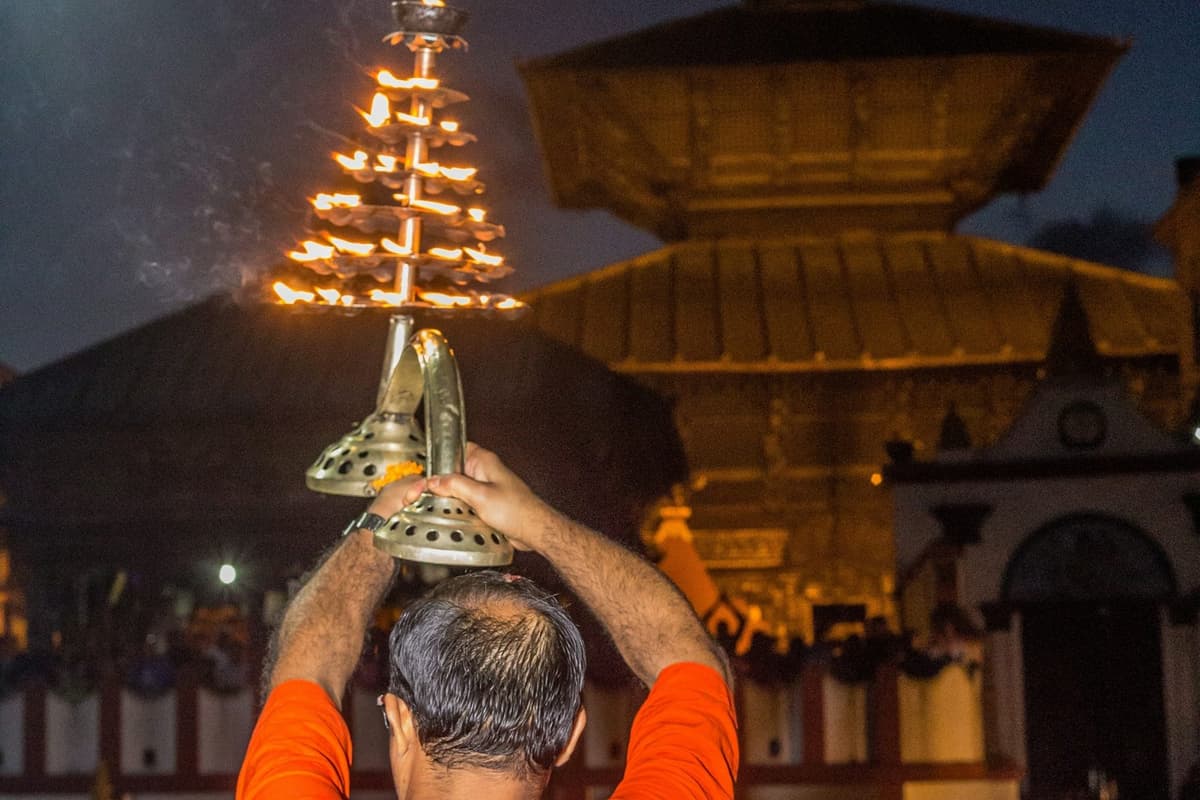
The Nepal Tourism Board says "The holy Gokyo lakes are of religious significance to the Hindus and Buddhists." The 2006 Ramsar information sheet records that people from Namche mark Janai Purnima, the full-moon festival of the sacred thread, at Gokyo, and that about 500 took a holy bath at the festival. Devotees also honour the snake god there. Janai Purnima usually falls in August; in 2026 it was on 28 August. We found no recent report of the Gokyo gathering, so treat the 2006 figures as history.
How to plan a Gokyo trek, step by step
- Choose your route: the direct valley walk, the Cho La link to Base Camp, or the Three Passes.
- Build in acclimatisation: two nights in Namche, and consider a night at Phortse Thanga or Mong La before Dole.
- Add spare days at the end for Lukla flight delays.
- Buy travel insurance that covers trekking to your route's highest point (Gokyo Ri, 5,357 m, on the direct route; higher on routes over the Cho La, 5,420 m) and helicopter rescue.
- Stay on the main trail, and carry your rubbish out.
Read next: Cho La Pass guide and Everest Base Camp trek difficulty.
Frequently asked questions
How high are the Gokyo lakes?
The Gokyo lakes lie between 4,710 m and 4,950 m. Longbanga Cho is the lowest at 4,710 m, and Ngozumba Cho the highest with a published height, at 4,950 m. Gokyo village stands at about 4,750 to 4,790 m, depending on the source, and Gokyo Ri above it is 5,357 m.
How many Gokyo lakes are there?
Six main lakes, by the Nepal Tourism Board's count, in a Ramsar site holding 19 lakes. Sources quote five, six or 19, depending on what they count. Gokyo village sits beside the third. The six are Longbanga, Taujung, Gokyo (Dudh Pokhari), Thonak, Ngozumba and Gyazumpa.
When is the best time to visit the Gokyo lakes?
October and November, after the monsoon, when the Nepal Tourism Board says skies are clearest; spring is the other good season. The monsoon brings heavy rain lower down and unreliable Lukla flights. Many lodges close in the depth of winter, so check before you go.
Do I need a permit for the Gokyo lakes?
Yes, two: the Sagarmatha National Park entry permit and the Khumbu Pasang Lhamu Rural Municipality Trek-Card, because the lakes lie inside both the park and the municipality. The municipality issues its card at Lukla. When you trek with us, we arrange both.
Is Gokyo harder than Everest Base Camp, and can I combine them?
It depends on the route. Straight up the valley and back, your high point is Gokyo Ri at 5,357 m, with no pass to cross. To combine the lakes with Base Camp you cross the Cho La, 5,420 m, a rocky pass with a short glacier section, which makes the trek longer and harder.
Is there medical help in the Gokyo valley?
Not reliably. There is no Himalayan Rescue Association aid post in the valley, and the volunteer rescue posts at Machhermo and Gokyo closed in January 2020. A private clinic operated in Gokyo in 2022, but we could not confirm it is open this season. The nearest HRA aid post is at Pheriche.
Plan your Gokyo trek with us
To see every trip we run through the Gokyo valley, browse our Gokyo Lakes treks. To see both valleys, our Gokyo, Cho La and Everest Base Camp trek takes 14 days. If Base Camp is what you are after, see our Everest Base Camp trek. We arrange your permits, and a licensed guide walks with you on every trek we run. Send us your dates on WhatsApp or through our enquiry form, and we will tell you honestly which route suits you.