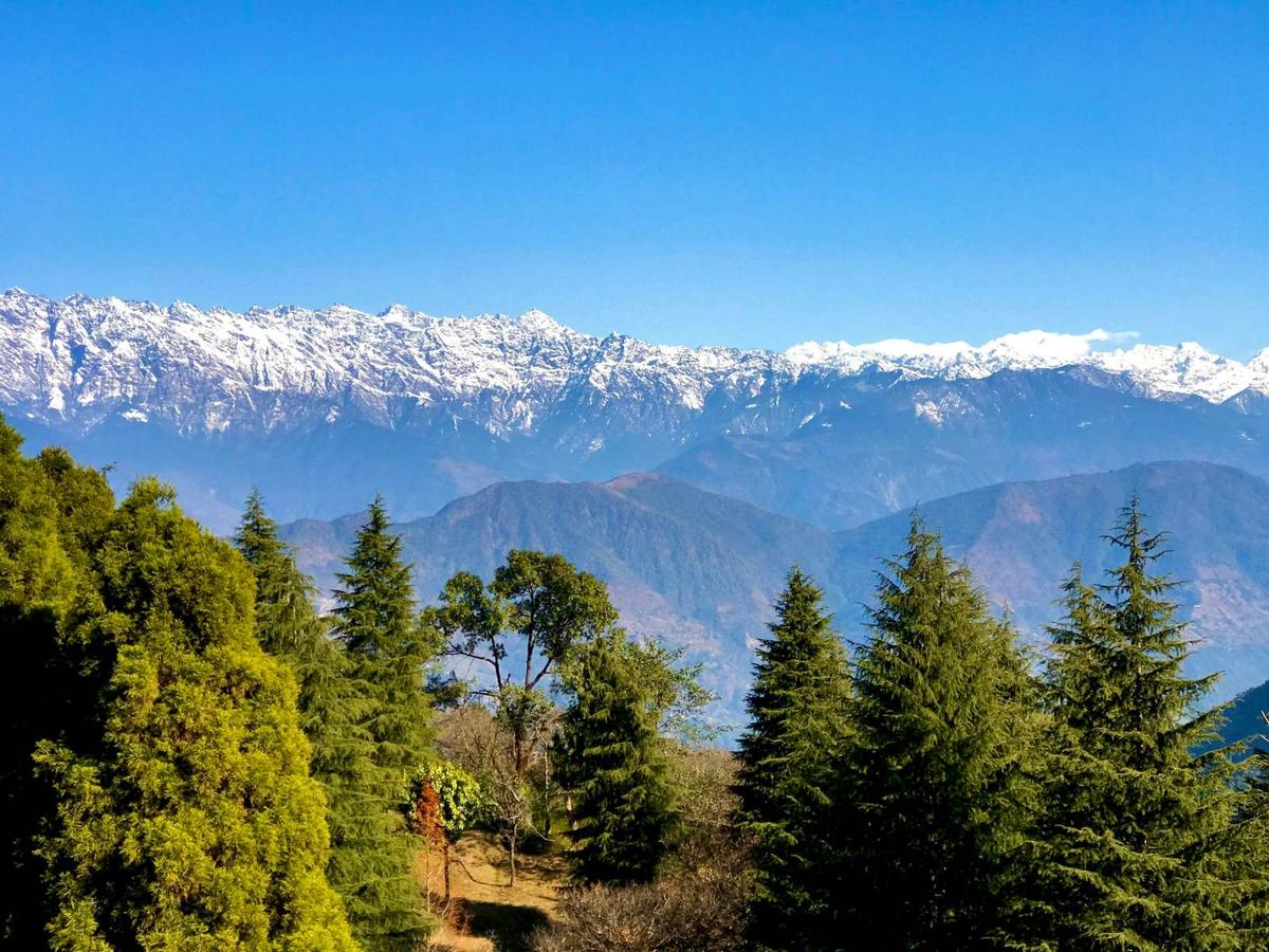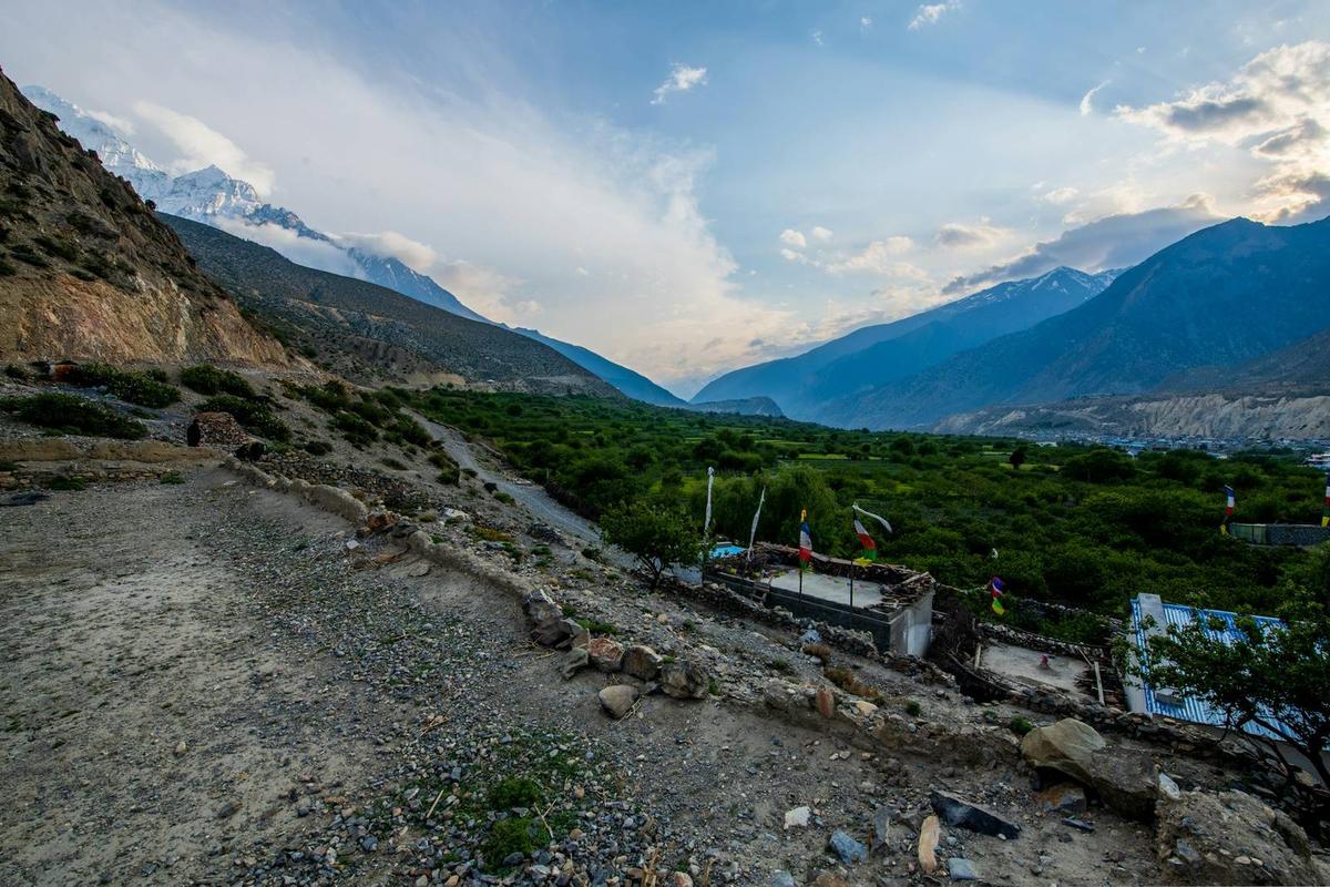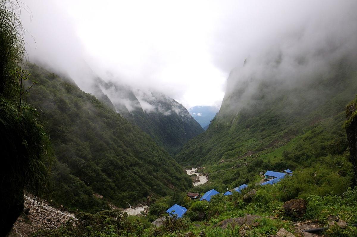
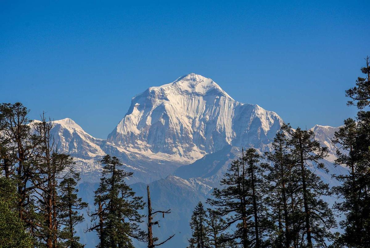
Mohare Danda is a ridge-top above Ramche village in Myagdi, with a community-run lodge on the crest and, on clear days, more than a dozen peaks in view. In 2013 the writer Don Messerschmidt remembered it before the lodge: "Barely a decade ago, this was a remote, windswept hilltop, with a few ragged trees and an empty meadow."
The Mohare Danda trek is a community-lodge walk in Myagdi that tops out at about 3,300 m (about 10,800 ft), roughly half a day's walk from Poon Hill. Versions run from two or three days to a week or more with Khopra. It makes a quieter alternative or add-on to our Annapurna region treks.
Updated 18 Nov 2026
In this guide
- Where is Mohare Danda and how high is it?
- Who runs the community lodges on the Mohare Danda trek?
- Which route should you take to Mohare Danda?
- How do you get to the trailhead from Pokhara?
- Do you need an ACAP permit for Mohare Danda?
- Mohare Danda, Poon Hill or Khopra: which suits you?
- When should you go, and how cold does it get?
- Will you feel the altitude at Mohare Danda?
- What are the lodges and food like?
- Frequently asked questions
- Plan your Mohare Danda trek with us
Key facts
- Height
- About 3,300 m (about 10,800 ft); published figures run from 3,300 to 3,320 m and we found no survey figure (The Kathmandu Post (31 Aug 2019), The Rising Nepal (27 May 2025), Nepal Traveller (10 Sep 2026); checked 19 Nov 2026)
- Location
- Above Ramche village, ward 8 of Annapurna Rural Municipality, Myagdi (The Rising Nepal, 27 May 2025; checked 19 Nov 2026)
- Main starts
- Ghumaune Tal or Galeshwor on the Beni road (west); the Banthanti road head on the Ulleri side (east) (The Kathmandu Post (31 Aug 2019), Republica/RSS (23 Oct 2026), a travel blog (2025) and our Poon Hill loop page; checked 19 Nov 2026)
- Trip length
- Two or three days on the short Banthanti version to a week or more with Khopra (Nepal Traveller (2025, 2026) and trekking companies; checked 19 Nov 2026)
- Hardest day
- Nangi to Mohare Danda: four to seven hours uphill, about 1,000 m of climbing (The Kathmandu Post (2019) and trekking companies; checked 19 Nov 2026)
- Permit
- ACAP permit on almost every route: NPR 3,000 foreigners, NPR 1,000 SAARC nationals; double if bought at a checkpost (NTNC e-permit, NTB park entry fees and ACAP Annual Report 2024-25 (ward list); checked 19 Nov 2026)
- Poon Hill ticket (if you go that way)
- NPR 150 foreigners, NPR 50 Nepalis (Ratopati/RSS (22 Sep 2026), Nepalnews (10 Oct 2025); checked 19 Nov 2026)
- Lodge on the ridge
- Community-run, with a capacity of over 60 people in 2025 (The Rising Nepal, 27 May 2025; checked 19 Nov 2026)
- Main season
- October to April; clearest skies in October and November (Our trekking season; Nepal Tourism Board climate page; checked 19 Nov 2026)
- Altitude line
- Sleeping at 2,450 m (8,000 ft) or more puts unacclimatised travellers at risk (US CDC Yellow Book (page dated 23 Apr 2025); checked 19 Nov 2026)
Where is Mohare Danda and how high is it?
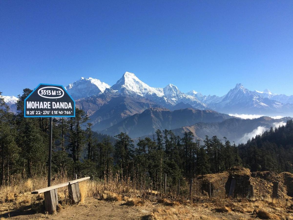
Mohare Danda sits in ward 8 of Annapurna Rural Municipality, Myagdi district. It stands at about 3,300 m (about 10,800 ft); published figures run from 3,300 to 3,320 m and we found no survey figure. That puts it roughly 90 to 110 m higher than Poon Hill, at 3,210 m.
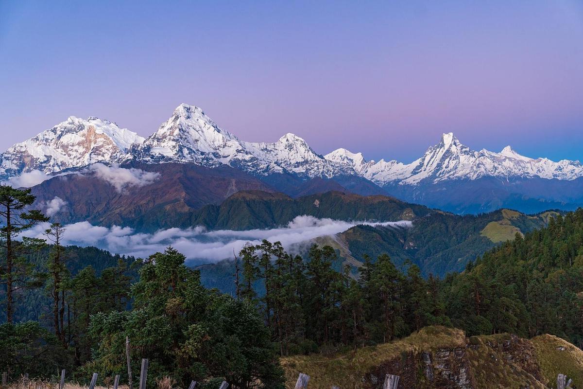
Nepali newspapers also spell it Mahare Danda, Mohore Danda or Moharedanda. Do not confuse it with Kokhe Danda, about half an hour's walk along the ridge in Parbat and reported at 3,309 m. Below sits Nangi, a Magar village at about 2,300 m where most trekkers on the west side spend the night before the final climb.
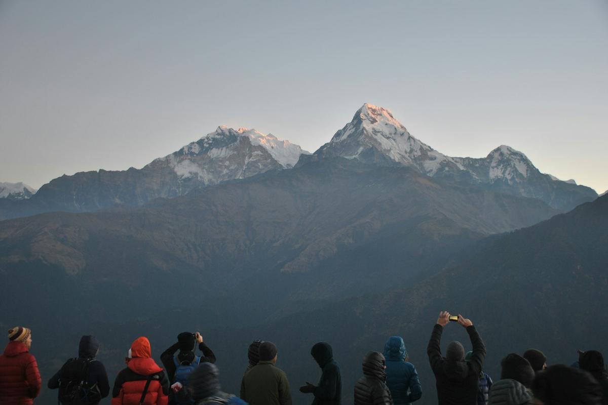
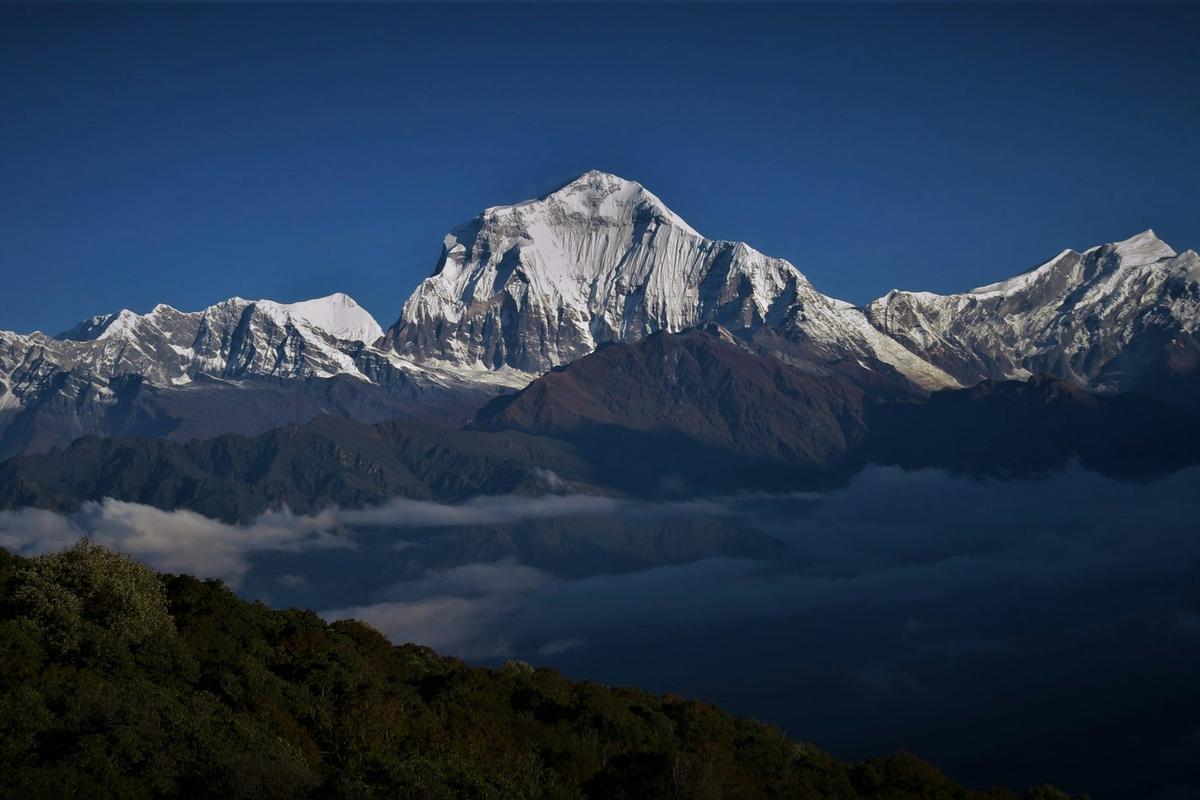
On a clear day The Rising Nepal lists Sisne, Gurja, Dhaulagiri, Machhapuchhre (Fishtail), Manaslu and Annapurna in view, plus Phewa Lake and the Pokhara Valley. Dhaulagiri, at 8,167 m, is the seventh highest mountain in the world. Watch the forest on the way up for Danfe (Himalayan monal) and Kalij pheasants.
Who runs the community lodges on the Mohare Danda trek?
The lodges on the Mohare Danda trek are run by the villages around Nangi, and their earnings go back into local schools and community needs. The idea grew out of Mahabir Pun's work at Himanchal High School in Nangi, the same project that later brought wireless internet to the hills.
Pun was born in 1955 into a Magar family in Nangi. Himanchal High School was founded there in 1993, and the Nepal Wireless Networking Project grew out of it, serving more than 140 villages by 2013. Mohare became a relay point: the internet arrived by line of sight from Pokhara and was passed on to nearby villages, and Pun set up his first receiver on the ridge.
By December 2008, lodges were running at Nangi and Swanta, and Nepali Times described the model:
"Two private lodges and a community lodge have been set up and private local entrepreneurs and schools are being encouraged to invest in lodges. This way, tourism earnings goes directly to local education."
Shailee Basnet, Nepali Times, "You take the high road", 12 December 2008
The longer community trail, also sold as the Dhaulagiri-Annapurna Community Trek, was promoted to trekkers from about 2010. In 2021 three buildings were added at Mohare with money from the rural municipality and the Tourism Ministry, and by 2025 the lodge could take over 60 people. No audited figures show how much reaches the schools, so we describe the model rather than quote a figure.
Which route should you take to Mohare Danda?
There are two main routes. The classic west-side climb starts on the Beni road and spends nights at Banskharka and Nangi before Mohare. The short east-side version starts at the Banthanti road head on the Ulleri side and climbs to Mohare via Kokhe Danda in one long day.
| Stage | Walking time |
|---|---|
| Ghumaune Tal or Galeshwor to Banskharka (1,526 m) | About 3 hours uphill |
| Banskharka to Nangi (about 2,300 m) | About 5 hours through forest |
| Nangi to Mohare Danda (about 3,300 m) | Four to seven hours uphill, the hardest day |
| Banthanti road head to Mohare Danda via Kokhe Danda | 5 to 6 hours (a travel blog) |
| Mohare Danda to Poon Hill and Ghorepani | Roughly half a day |
| Mohare Danda to Tikot, then down to the road | 6 to 7 hours, then about 3 hours (trekking companies) |
| Mohare Danda to Swanta, for Khopra | About six hours downhill |
From the ridge you have three ways on. Trekking companies drop to Tikot and the road at Tatopani or Tippling to close a loop back to Pokhara. You can walk the ridge to Poon Hill and Ghorepani, which Messerschmidt described as "barely three kilometers down a NE ridge on a little used trail". Or you can head down to Swanta and up to Khopra Danda at 3,660 m.
How do you get to the trailhead from Pokhara?
For the west side, you drive from Pokhara up the Beni road to Galeshwor, in Beni Municipality, or Ghumaune Tal. Trekking companies give about 3 to 3.5 hours by road. For the east side, the drive to the Banthanti road head takes 3 to 4 hours.
The road is the weak link after rain. On 26 September 2026, landslides disrupted traffic on the Beni-Jomsom-Korala road. By 23 October 2026 the Myagdi section had reopened after repairs, and Dam Bahadur Pun, a Ghorepani hotelier and former chair of Annapurna Rural Municipality, told Republica/RSS that "The Ghodepani Poon Hill Ghandruk trekking route is safe". We found no 2026 report of the Mohare Danda lodge closing or of damage on the Nangi trail; we check before every departure.
Do you need an ACAP permit for Mohare Danda?
Yes, plan on it. By ACAP's own list of wards, Mohare Danda and Nangi lie just outside the Annapurna Conservation Area. But almost every version of the trek walks into it, at Ghorepani, Poon Hill, the Banthanti and Ulleri side, Swanta or Khopra, so you need the ACAP permit. If you trek with us, we arrange it.
Only the pure west-side loop, down via Tikot to the Beni road, appears to stay outside. We still advise carrying the permit, because routes change on the day with weather and roads. Trekking companies disagree on this, which is why you read different answers online.
- The ACAP permit is NPR 3,000 for foreigners and NPR 1,000 for SAARC nationals, tax included; children below 10 need none.
- Buy it before you start: a permit issued at a checkpost costs double.
- Online payment adds a 2.9% gateway charge; the counter adds nothing. Permits are non-refundable.
- Going over Poon Hill adds a rural municipality ticket of NPR 150 for foreigners.
- Drones need prior approval in the conservation area.
More in our guide to Nepal trekking permits.
Mohare Danda, Poon Hill or Khopra: which suits you?
Choose Poon Hill for a first trek with plenty of lodges and an easy dawn climb. Choose Mohare Danda for a quieter ridge where you sleep on top and wake to the view. Choose Khopra if you have a week and want to go higher.
| Mohare Danda | Poon Hill | Khopra Danda | |
|---|---|---|---|
| Height | About 3,300 m | 3,210 m | 3,660 m |
| Where you sleep | On the ridge | Ghorepani, about 2,850 m, then a 45 to 60 minute dawn climb | Community lodge or homestays at Khopra |
| Crowds | No official count; quieter | Around 30,000 visitors a year (tourist police figures, 2025) | At least 10,000 a year (lodge manager, 2019) |
| Permit | ACAP on almost every route | ACAP plus the Poon Hill ticket | ACAP |
Quieter is not empty, though. In 2025 the ward chair said Poon Hill visitors often extend their trip to Mohare, and in 2023 the lodge supervisor said rooms were already being booked as the season began, with school groups among the guests. For more, read ABC vs Circuit vs Poon Hill and our Ghorepani village guide.
When should you go, and how cold does it get?
October to April is our trekking window for the Mohare Danda area, and the Nepal Tourism Board says the clearest skies come after the monsoon in October and November. Spring adds rhododendrons in flower. Winter is possible with warm kit and a flexible plan, but heavy snow can block the track and stop the roads.
| Months | What to expect |
|---|---|
| October and November | Clearest skies; snow can still come early, as on 28 October 2025 |
| December to February | Cold nights; about two feet of snow fell in December 2019 and road transport stopped |
| March and April | Rhododendrons from about mid-March; the lodge supervisor named February to April among the busy months (2023) |
| May | Rhododendrons until about mid-May; outside our main window |
| June to September | Monsoon, normally from about 13 June to about 2 October |
There is no weather station with published averages at Mohare. The nearest station we use, Lumle at 1,738 m, averages a January low of 4.7 °C and a high of 13.9 °C, and Mohare is about 1,500 m higher, so expect it to be clearly colder. See also the best time to trek in Nepal and winter treks in Nepal.
Will you feel the altitude at Mohare Danda?
You might. Mohare Danda is a place you sleep, not just a dawn visit like Poon Hill, so you spend the night at about 3,300 m, roughly 450 m higher than Ghorepani. The US CDC says unacclimatised travellers sleeping at 2,450 m (8,000 ft) or more, and sometimes lower, are at risk of altitude illness.
The Wilderness Medical Society advises that above 3,000 m you should not raise your sleeping height by more than 500 m a day. From Nangi the last day gains about 1,000 m, so take it slowly. The short east-side version is a much bigger jump: you drive up from Pokhara, at about 822 m, and can sleep at about 3,300 m the same night. The CDC advises against going from below 1,200 m to a sleeping altitude above 2,750 m (9,000 ft) in one day.
- Pick the west side if you can, so nights in Banskharka and Nangi help you adjust.
- On the short version, ask your guide about a lower night on the way.
- Walk slowly, drink water through the day and eat a proper meal.
- Tell your guide about any headache, nausea, unusual tiredness or dizziness.
- If symptoms get worse, go down to Nangi or Ghorepani. Going down is the most reliable treatment.
- Garlic soup and hot soups are a comforting local habit, not a proven cure. Ask your doctor about preventive medicine before you travel.
Our altitude sickness guide for Nepal treks goes into more detail.
What are the lodges and food like?
Trekking companies describe simple lodges with twin or shared rooms and basic menus of dal bhat, noodles and eggs. A Beni teacher who had taken 80 students there told The Rising Nepal in 2023 that the food and accommodation were good despite the remote setting. Book ahead in season, as rooms are reserved once the season starts.
Dal bhat is rice with lentil soup and curry, the everyday Nepali meal. Wi-Fi may be available at the lodge but is not reliable. Pack for cold evenings:
- Down jacket, hat and gloves for dusk and dawn on the ridge
- Sleeping bag or warm liner
- Headtorch, water bottle and purification tablets
- Microspikes in winter, if your guide advises them
A licensed guide walks with you on every trek we run, and on a community route the guide also books the lodges ahead.
Frequently asked questions
Can beginners do the Mohare Danda trek?
Yes, if you are fit enough for long uphill days; there is no climbing involved. The hardest day, Nangi to Mohare Danda, is four to seven hours uphill with about 1,000 m of climbing, and the short version from Banthanti gains a lot of height in one day. For a first trek we usually suggest the Poon Hill loop, with Mohare added by walking on from Ghorepani, roughly half a day each way.
Does it snow at Mohare Danda?
Yes. In December 2019 about two feet of snow fell at Moharedanda and road transport stopped, and on 28 October 2025 snow and bad weather affected trekkers at Mohare Danda, Kokhe Danda and Ghorepani. Heavy winter snow can block the track, so in winter carry warm kit, keep a spare day and let your guide decide whether the climb is safe.
Can you combine Mohare Danda with Khopra Danda?
Yes. From Mohare Danda it is about six hours downhill to Swanta. A 2019 report then gives about three hours to Aahalkharka, three more to Dhandkharka and about four uphill to Khopra Danda at 3,660 m. With Khopra, plan a week or more.
Is there Wi-Fi at Mohare Danda?
Sometimes, but do not rely on it. One trekking company says Wi-Fi is not continuously available on the route, while a recent travel blog says the lodge has it.
Is there an entry fee for Mohare Danda?
We found no entry fee reported for Mohare Danda; ask at the lodge. The rural municipality taxes the hotels there instead. You do need the ACAP permit on almost every route, and going over Poon Hill adds the NPR 150 ticket for foreigners.
Plan your Mohare Danda trek with us
We do not run a fixed Mohare Danda departure, but we can plan a custom route on enquiry, with the ACAP permit, a licensed guide, transport from Pokhara and the lodges booked for you. For something simpler, our Ghorepani Poon Hill treks are the closest match, and Mohare fits as a side trip from Ghorepani. Good starting points are the Ghorepani Poon Hill trek and the Poon Hill and Ghandruk loop from Pokhara, which passes Ghandruk village.
For other walks nearby, see our Annapurna region treks and treks from Pokhara. Tell us your dates and how many days you have, and we will tell you which route fits. Message us on WhatsApp or use the enquiry form on any trip page.