

By Uncover Nepal Team · Checked by our Kathmandu travel team · Last checked 1 November 2026
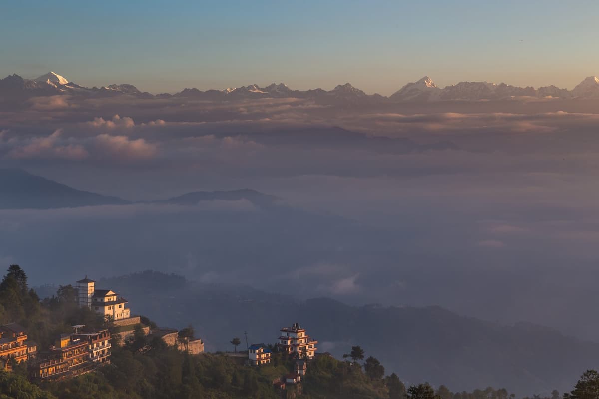
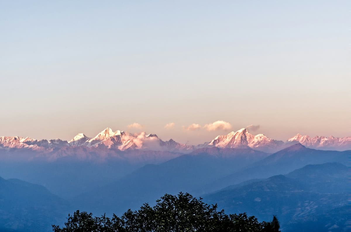
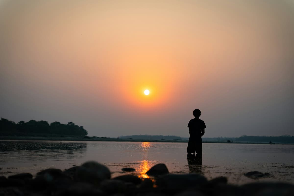
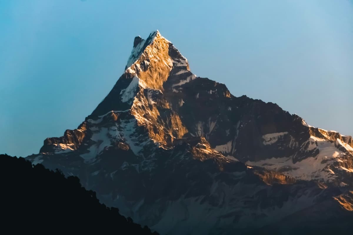
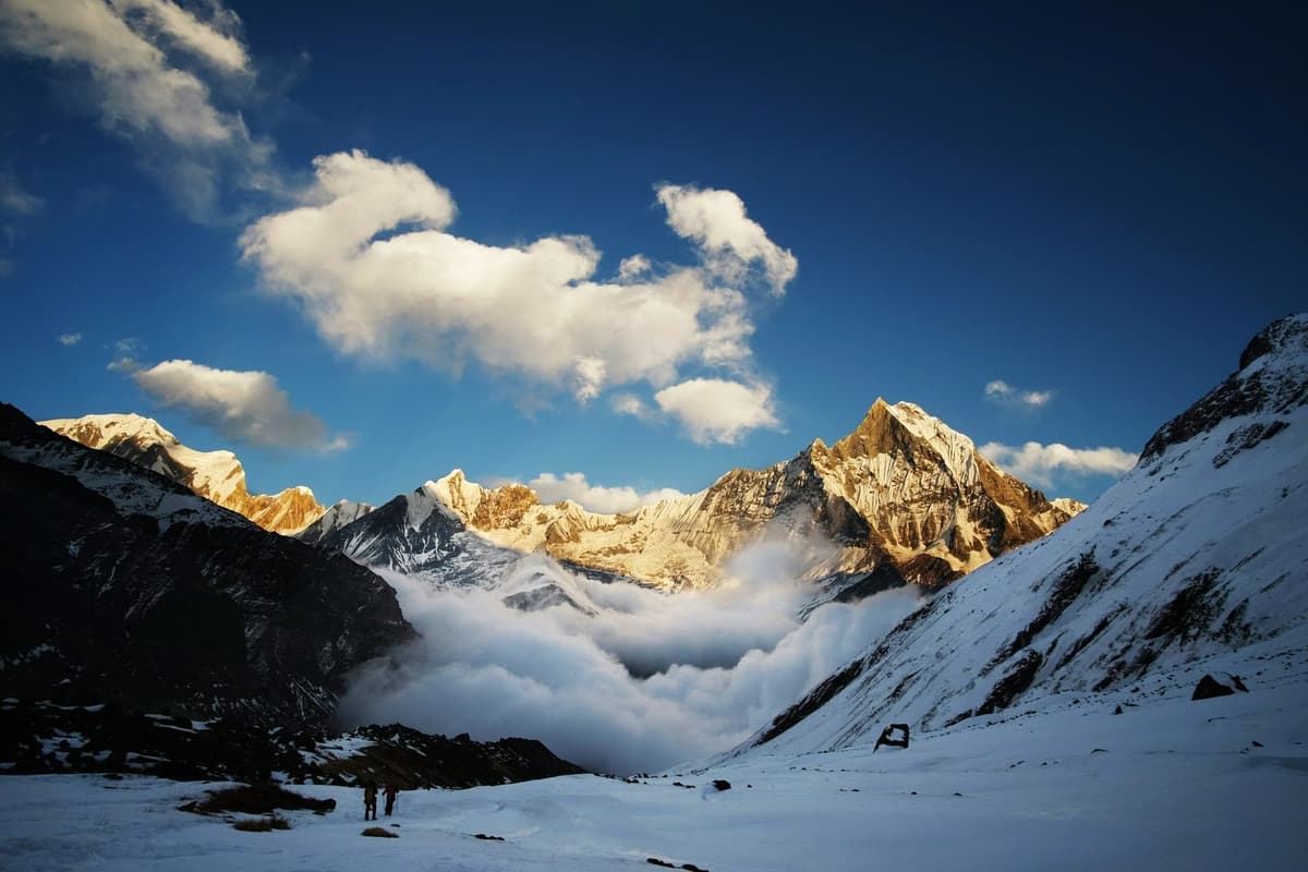
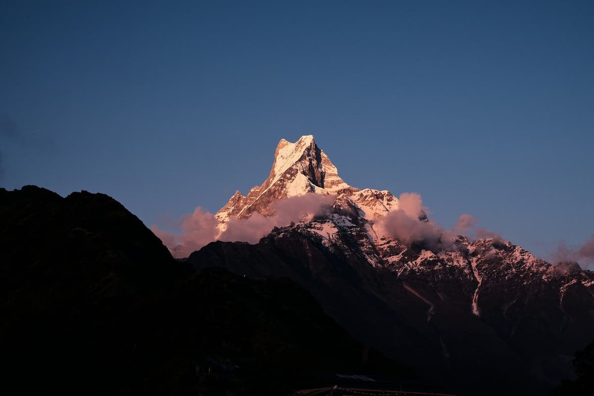
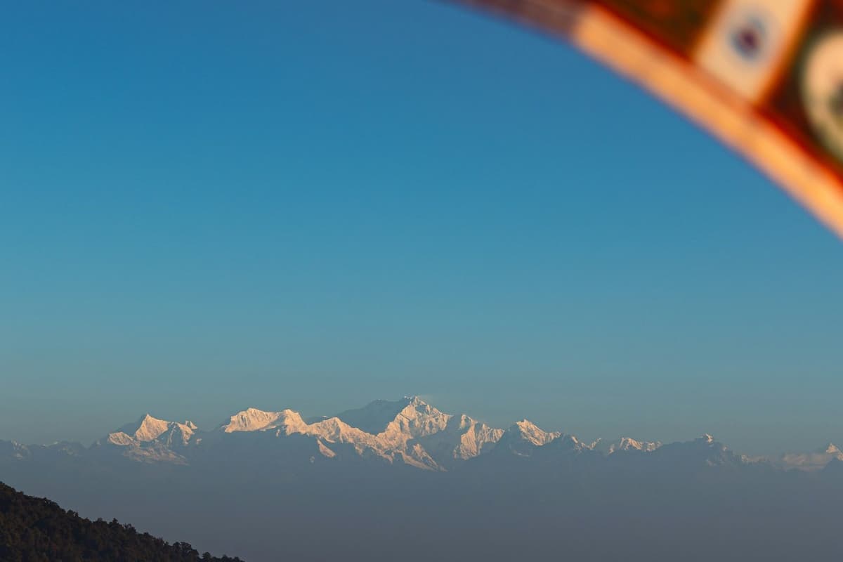
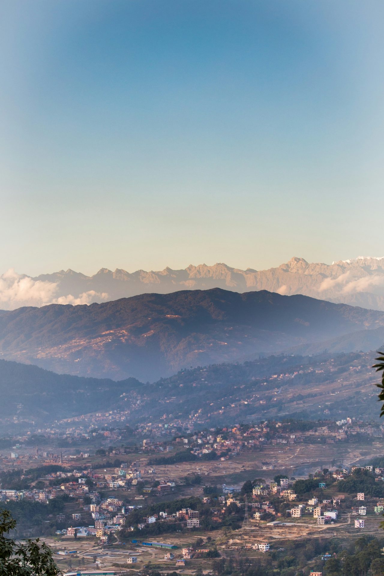
Before dawn, a path climbs out of Dhulikhel's old bazaar to the Bhagawati Temple on the hill above town, a walk NTB puts at 30 minutes. On a clear morning the first light reaches a line of snow peaks running, the municipality says, from Langtang to Everest.
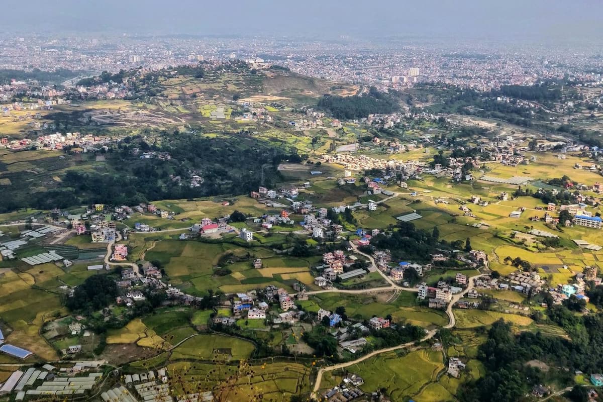
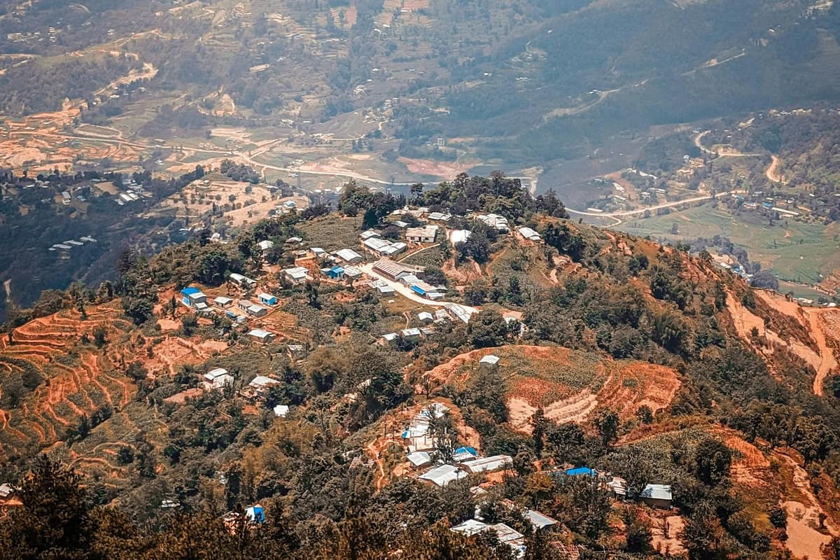
Dhulikhel is a hill town in Kavrepalanchok district, 30 km south-east of Kathmandu and about an hour's drive away, according to NTB. The municipality gives its height as 1,550 m (5,085 ft). People come for the sunrise view, the old Newar bazaar and the three-hour walk to the Buddhist site of Namobuddha.
Our guide to hill stations in Nepal compares all the hill towns around the valley; this guide stays with Dhulikhel.
In this guide
- Where is Dhulikhel and how do you get there?
- Dhulikhel height: how high is the town?
- A short history of Dhulikhel and its old bazaar
- Temples and the Dhulikhel view point at sunrise
- Which mountains can you see from Dhulikhel?
- Things to do in Dhulikhel
- Dhulikhel weather: what to expect month by month
- When is the best time to visit Dhulikhel?
- Dhulikhel, Nagarkot or Chandragiri: which hill station suits you?
- Practical tips before you go
- Frequently asked questions
- Plan your Dhulikhel visit
Key facts
- Where
- Kavrepalanchok district, on the eastern rim of the Kathmandu Valley; the district headquarters (Dhulikhel Municipality; KUSMS, checked 1 Nov 2026)
- Distance from Kathmandu
- 30 km south-east (Dhulikhel Municipality, checked 1 Nov 2026)
- Travel time
- About an hour by road on the Araniko Highway; regular buses run (Nepal Tourism Board, checked 1 Nov 2026)
- Height
- 1,550 m (5,085 ft); published figures run from about 1,500 to 1,650 m (Dhulikhel Municipality; Kathmandu University; KUSMS, checked 1 Nov 2026)
- Sunrise view point
- Bhagawati Temple, a 30-minute walk up from town (Nepal Tourism Board, checked 1 Nov 2026)
- Mountain view
- Langtang in the west to Everest in the east, on a clear day (Dhulikhel Municipality, checked 1 Nov 2026)
- Walk to Namobuddha
- Three hours from Dhulikhel or Panauti (Nepal Tourism Board; Dhulikhel Municipality, checked 1 Nov 2026)
- Thrangu Tashi Yangtse monastery
- Consecrated in 2008 (Kathmandu Post, 22 Mar 2019, checked 1 Nov 2026)
- Clearest months
- October and November (Nepal Tourism Board climate page, checked 30 Sep 2026)
- Entry fee
- None found for Dhulikhel or Namobuddha (NTB, municipality and press, checked 1 Nov 2026)
Where is Dhulikhel and how do you get there?
Dhulikhel sits on the eastern rim of the Kathmandu Valley, 30 km south-east of the capital. NTB describes it as about an hour's drive east along the Araniko Highway, and says regular buses reach it in about the same time. A private car gives you the most freedom for an early start or a late return.
Two highways pass through the town, the Araniko and the BP Highway. From Kathmandu you use the Araniko, which runs on to Kodari on the Tibet border, 74 km to the north-east. On the way you pass Banepa, which NTB says "was once the capital of a 14th-century kingdom".
By car or taxi. NTB's "about an hour" is fair on a quiet road, but leaving Kathmandu is often the slowest part, so add time at busy hours. East of town, the Dhulikhel to Khawa section has been under upgrade work in 2026, so expect roadworks if you carry on.
By bus. Regular buses cover the route. They are the cheapest way to go, but slower and often crowded. Ask your hotel which bus park to use on the day.
If you are weighing Dhulikhel against other outings, our Kathmandu day trips guide compares them by time and effort.
Takeaway: Allow about an hour each way plus city traffic, and check the road after heavy rain.
Dhulikhel height: how high is the town?
The municipality puts Dhulikhel at 1,550 m (5,085 ft) above sea level. Other published figures for the town run from about 1,500 m (4,921 ft) to 1,650 m (5,413 ft). The town spreads over a slope, so a figure depends on where it was taken. Use the municipality's 1,550 m.
The lower figure is from a Kathmandu University event page; the higher one is from the Kathmandu University School of Medical Sciences site. Both describe the town, not one building. We found no published height for the hilltop Bhagawati Temple, so we give none.
In health terms the height means little. Altitude sickness becomes a concern from about 2,450 m, well above Dhulikhel, so you do not need to acclimatise. NTB notes that average temperatures in Nepal drop 6°C for every 1,000 m of altitude, and Dhulikhel sits higher than Kathmandu, so dawn and evening feel cooler than in the city.
Takeaway: Pack a warm layer for early mornings, but there is no altitude risk to plan around.
A short history of Dhulikhel and its old bazaar
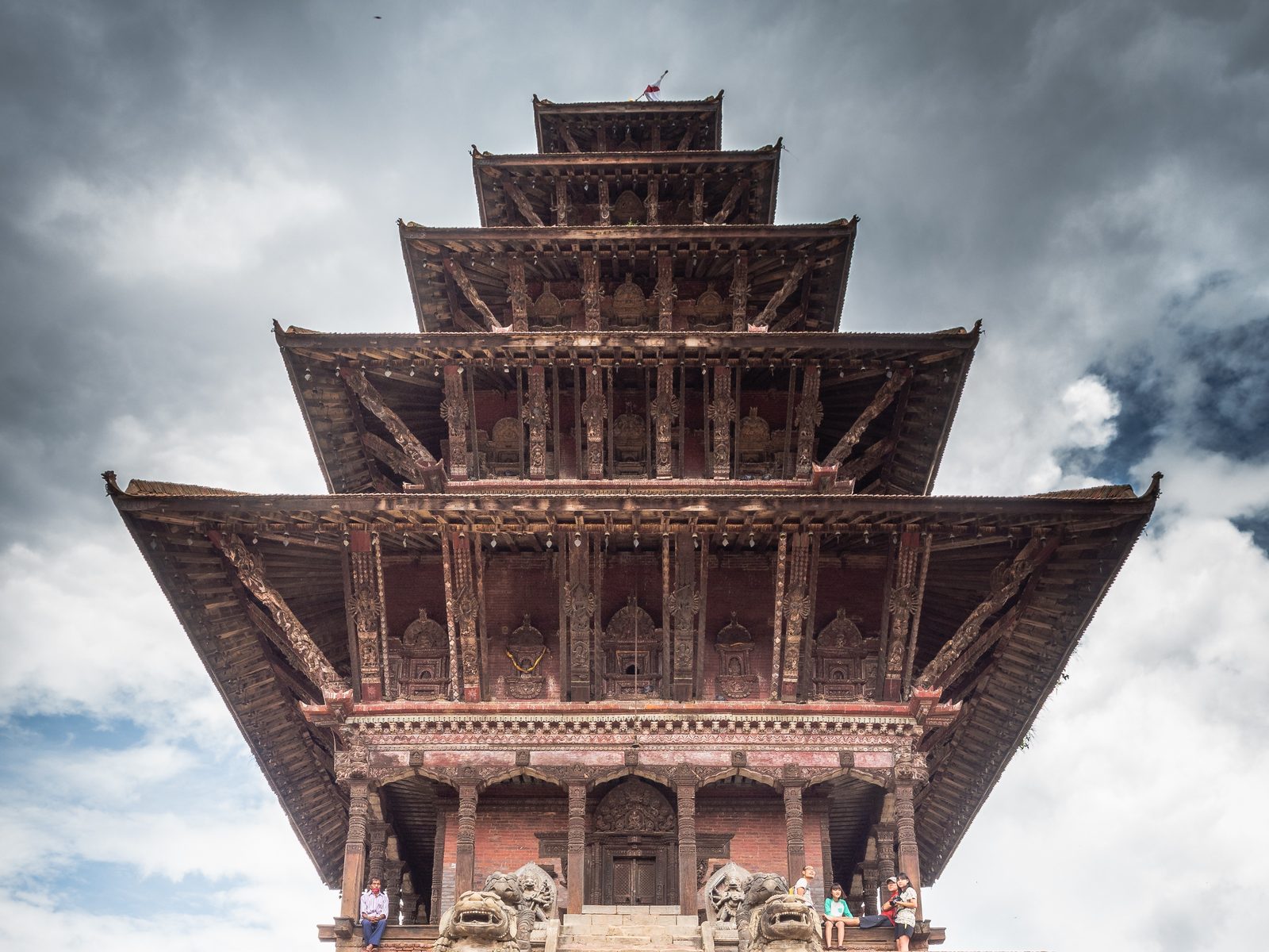
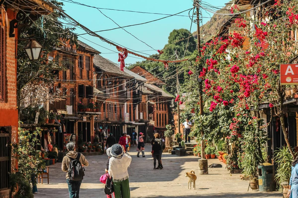
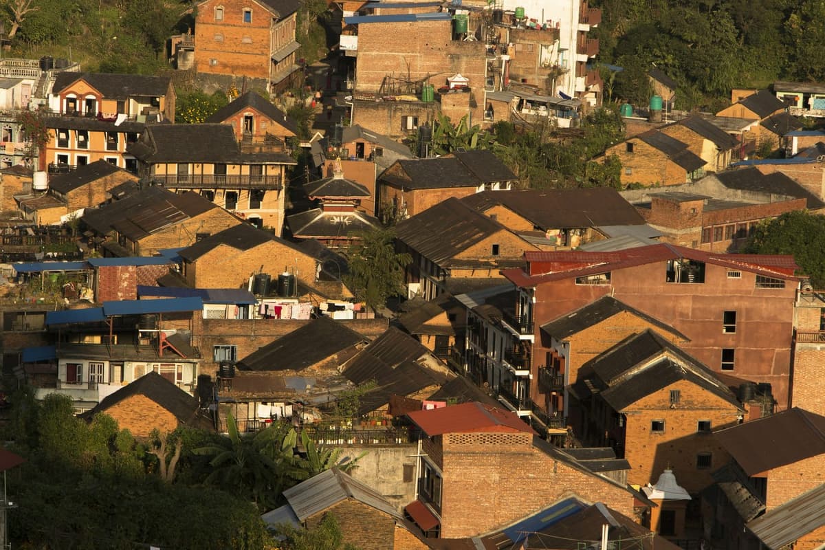
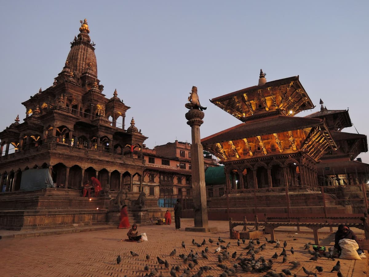
Dhulikhel is an old Newar town. The Newar are the people whose brick and timber towns fill the Kathmandu Valley, and Dhulikhel's bazaar (old market quarter) is built in that tradition. The municipality says that "Dhulikhel was once known by the Buddhist name of Shrikhandapur", and NTB says simply that "Dhulikhel was an important trade post". The highway through town still runs on to the Tibet border at Kodari.
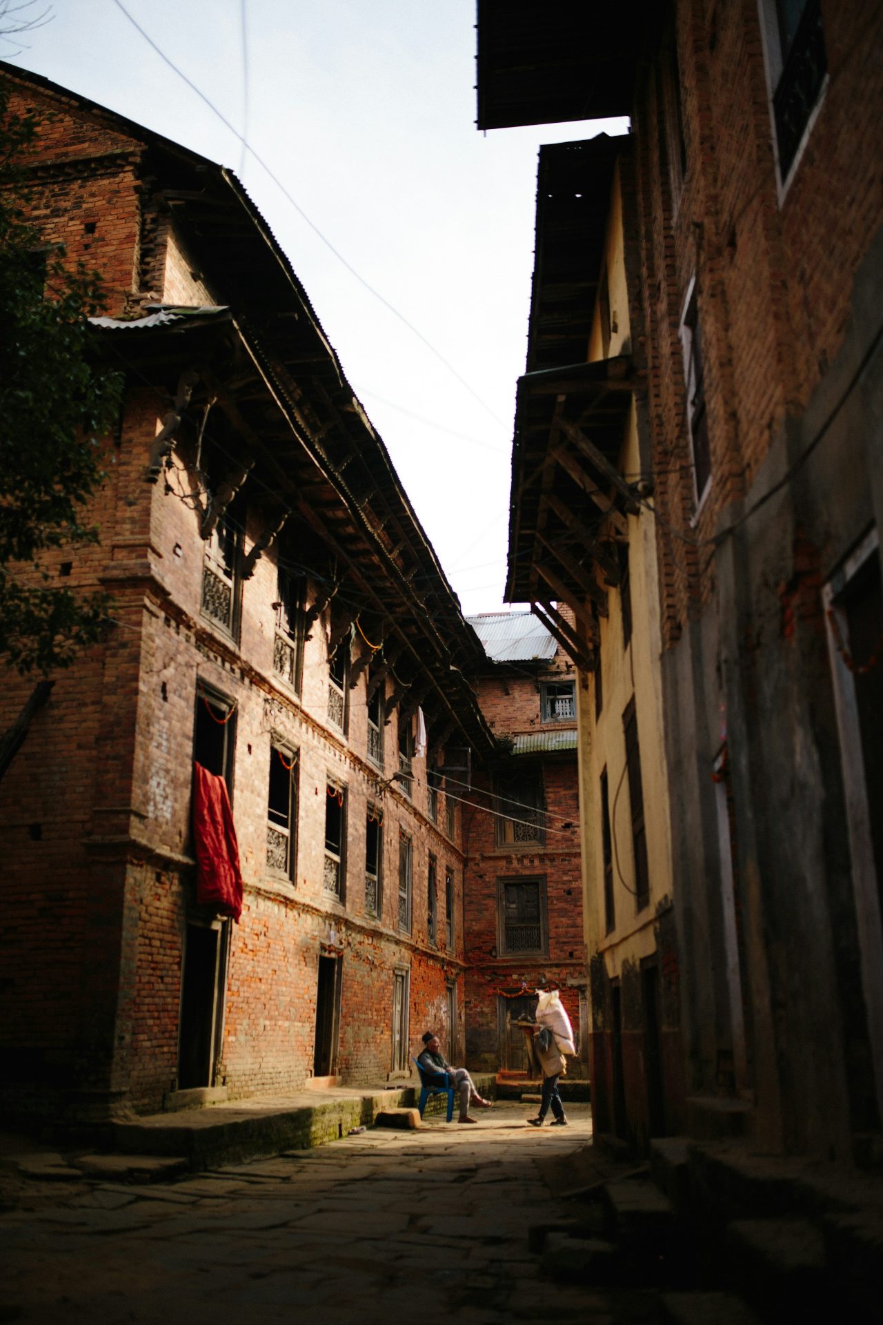
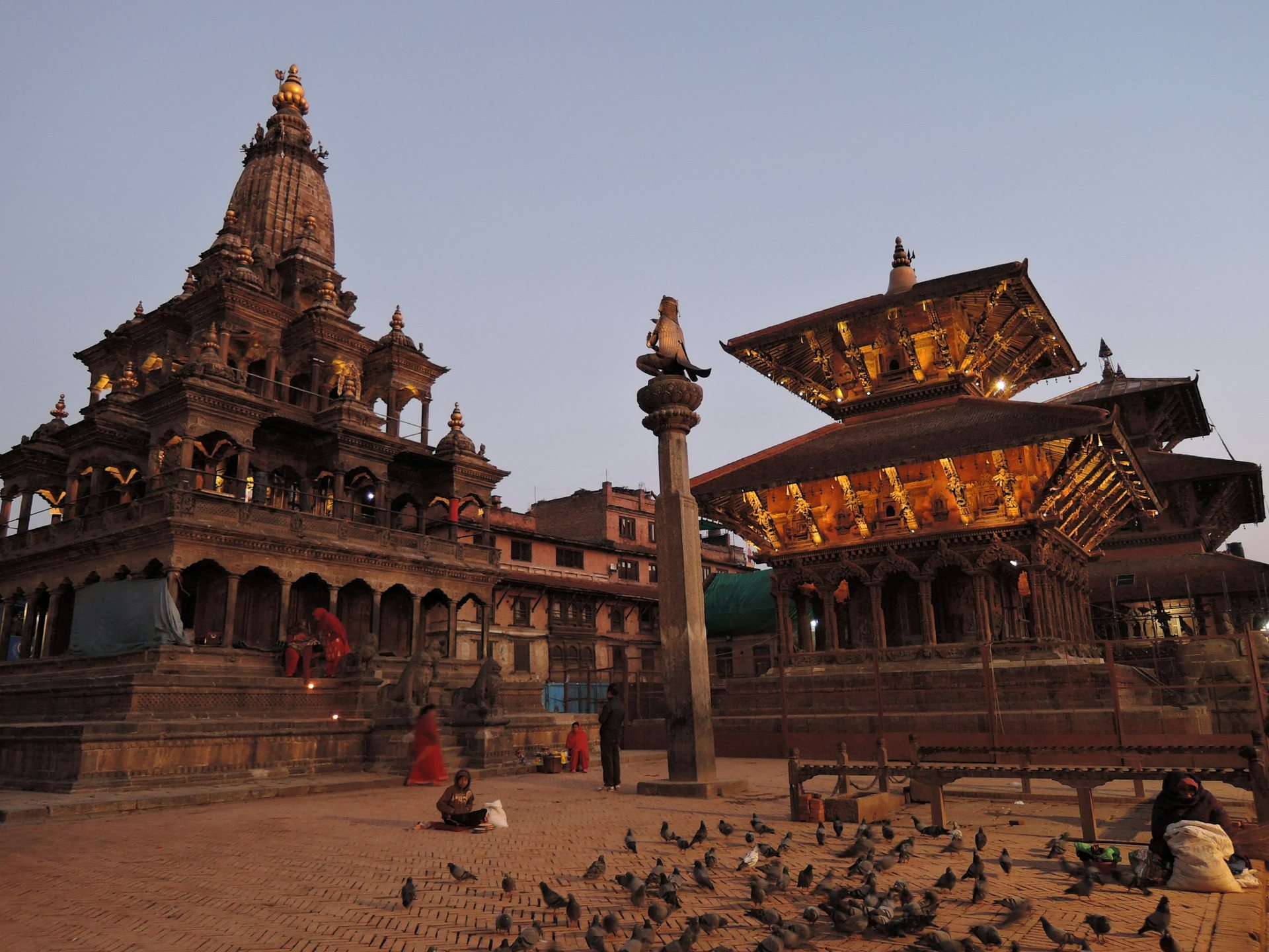
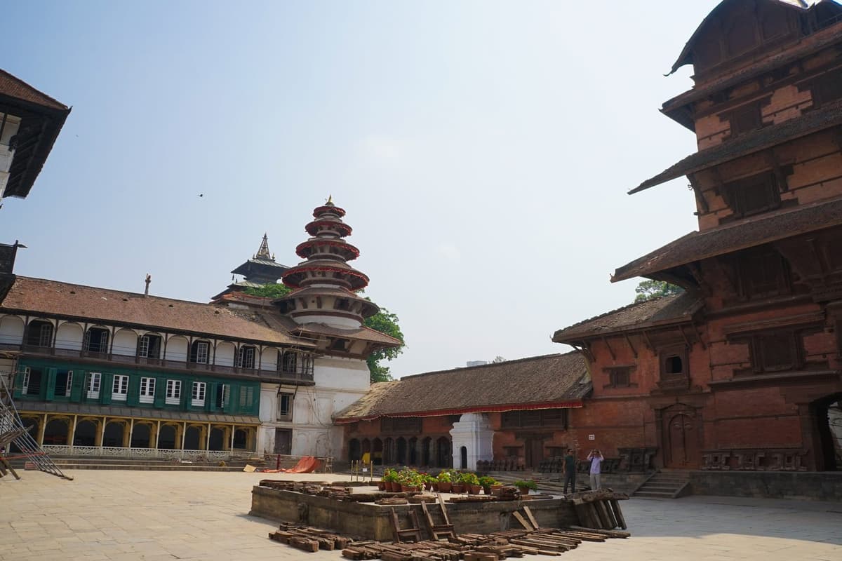
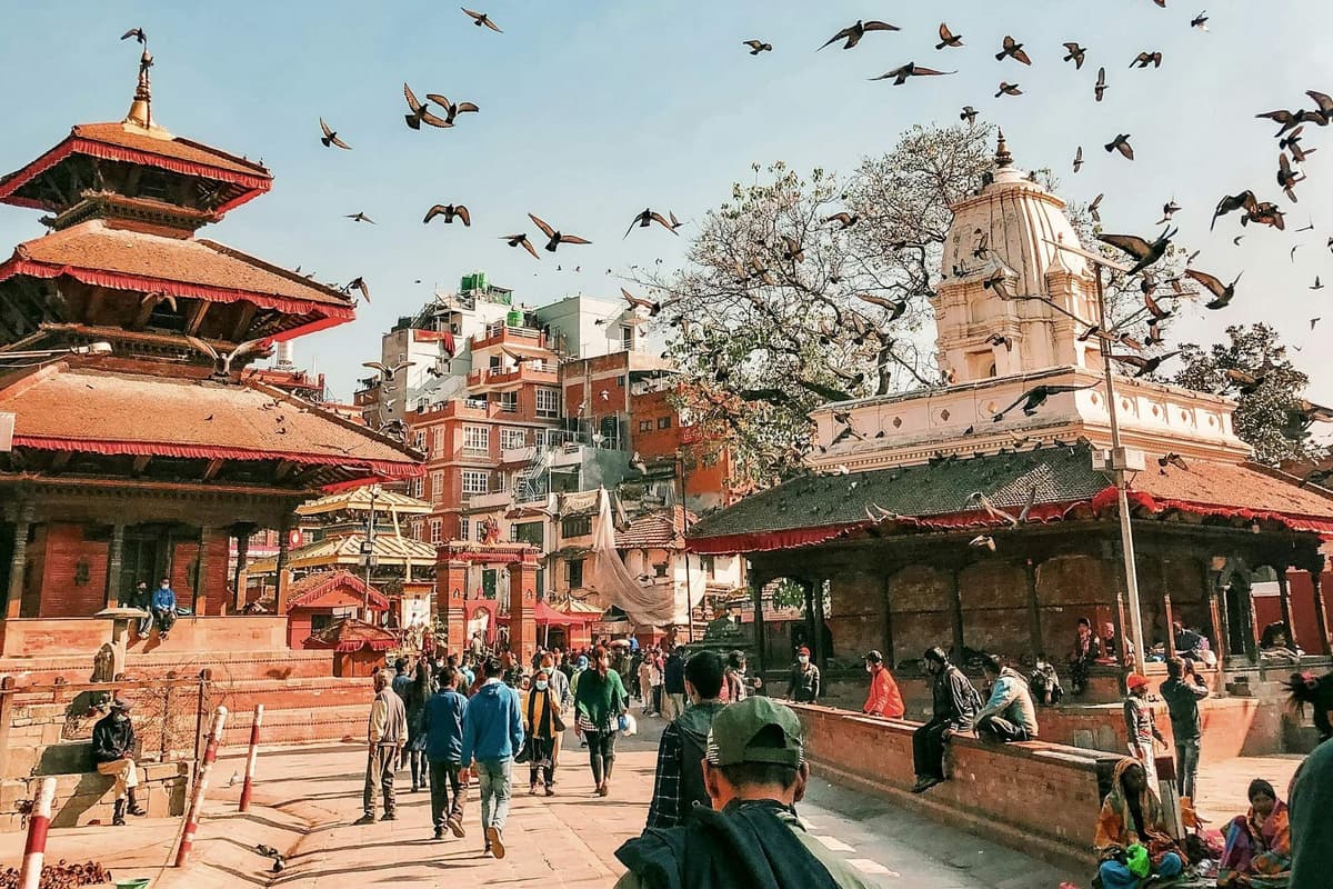
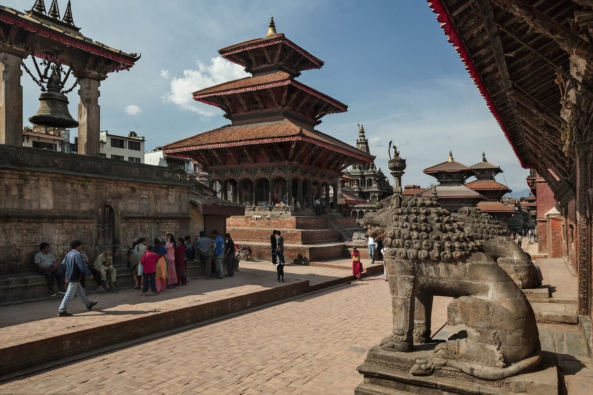
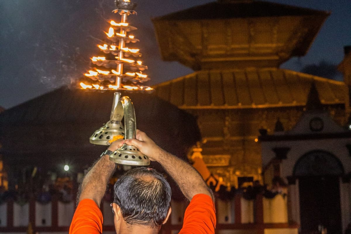
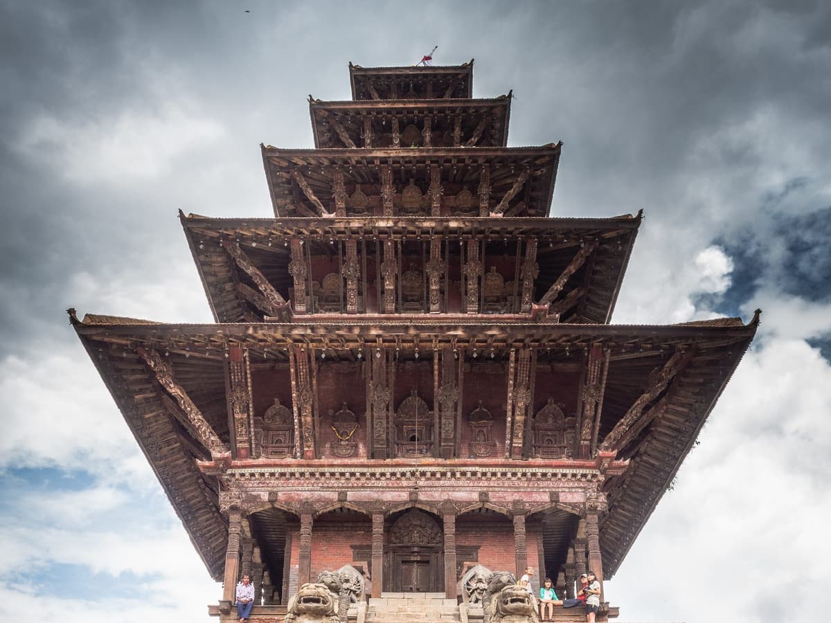
The old bazaar holds the temples the municipality lists: "Dhulikhel also has several ancient temples dedicated to Sweta Bhairava, Hari Siddhi, devistan, Shiva, and Narayana". In ordinary spelling those are Swet Bhairav, a fierce form of Shiva; Harisiddhi, a goddess; Shiva; and Narayan, a name for Vishnu. A devistan is a goddess shrine. A Narayan temple stands in the old square, with a Harisiddhi temple beside it.
Modern Dhulikhel has grown around that core. Kathmandu University, "established by an Act of Parliament in December 1991", has its main campus here, and Dhulikhel Hospital, a not-for-profit community hospital, opened in 1996. The town is also the headquarters of Kavre district, the everyday name for Kavrepalanchok.
So this is a working town wrapped around an older bazaar, not a resort village, and that is its appeal. Walk the bazaar slowly in the morning, ask before you photograph people, and do not touch offerings.
Takeaway: Give the old bazaar an unhurried hour on foot, and treat its temples as places of worship.
Temples and the Dhulikhel view point at sunrise
The best-known Dhulikhel view point is the hill above town with the Bhagawati Temple on top. NTB recommends "an early morning 30-minute hike up to the Bhagawati Temple" for sunrise over the Himalaya. Bhagawati is a name for the Hindu goddess, and the temple is often called the Kali temple, so if someone points you to "the Kali temple", it is the same walk.
The walk is short but uphill and in the dark. To make it work:
- Check the sunrise time the night before and aim to reach the top before the sky lightens.
- Take a torch, and save your phone battery for photos.
- Wear a warm layer and shoes with grip. Dawn is the coldest part of the day.
- Stay a while. The light keeps changing after sunrise.
NTB suggests a night in Dhulikhel to see both sunrise and sunset, and we agree: the clearest light comes early, and sleeping in town is the easy way to be there for it. If people are worshipping at the hilltop shrine, keep your voice down and give way to anyone carrying offerings.
Takeaway: Sleep in town and set off in the dark with a torch and a warm layer.
Which mountains can you see from Dhulikhel?
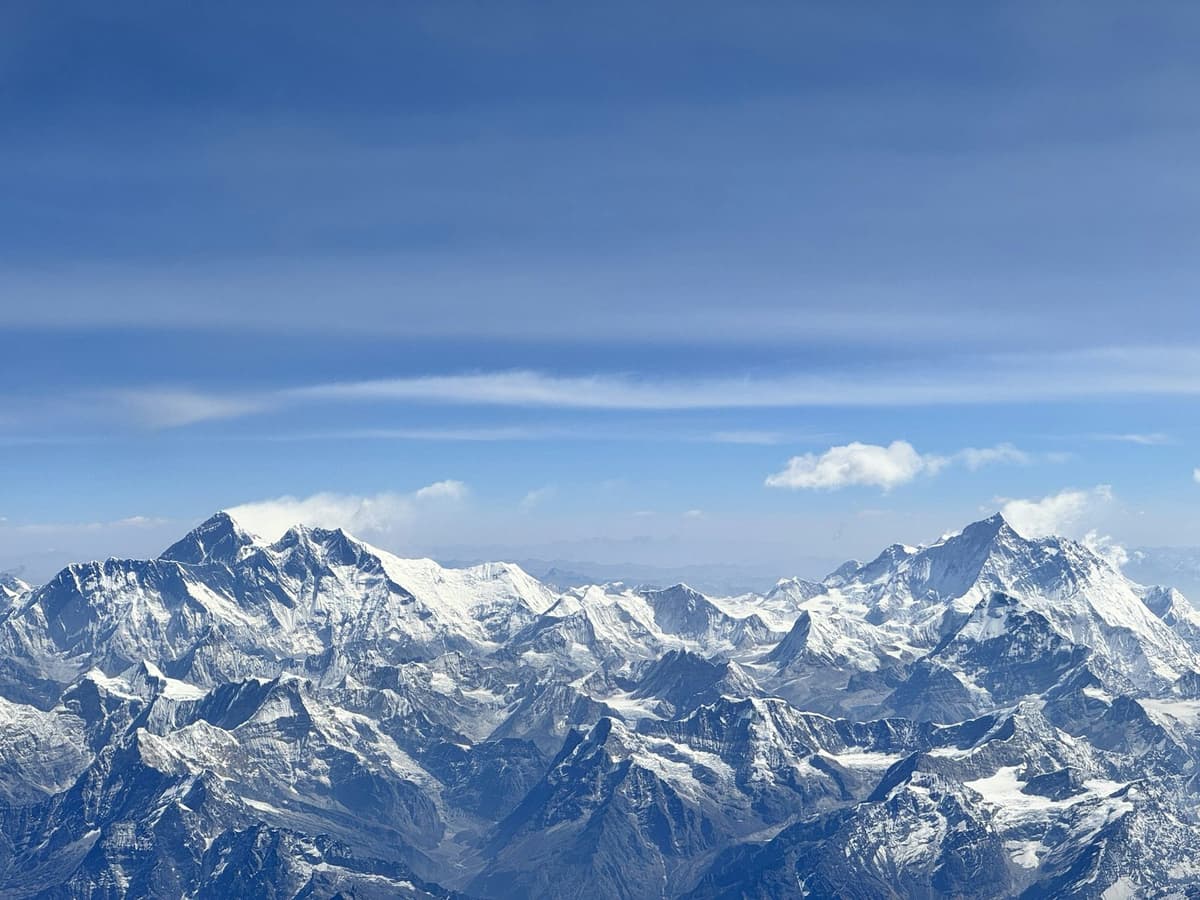
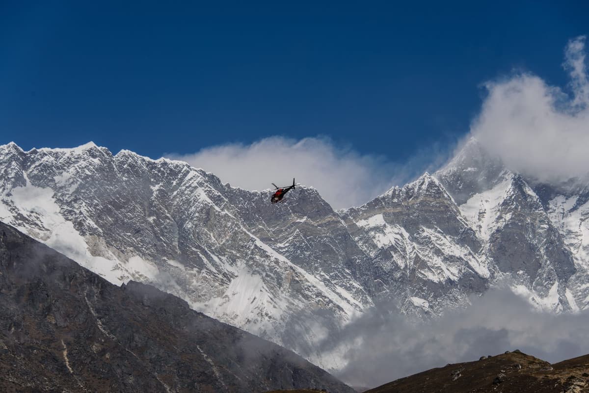
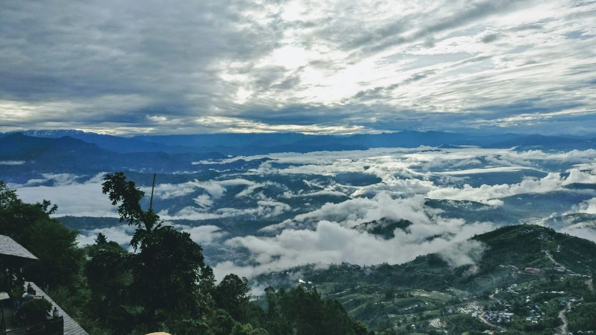
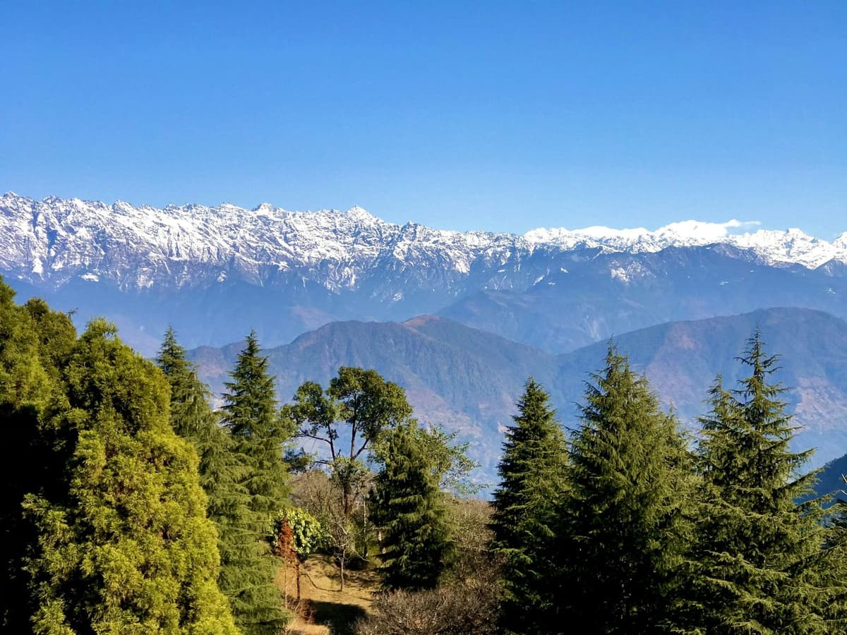
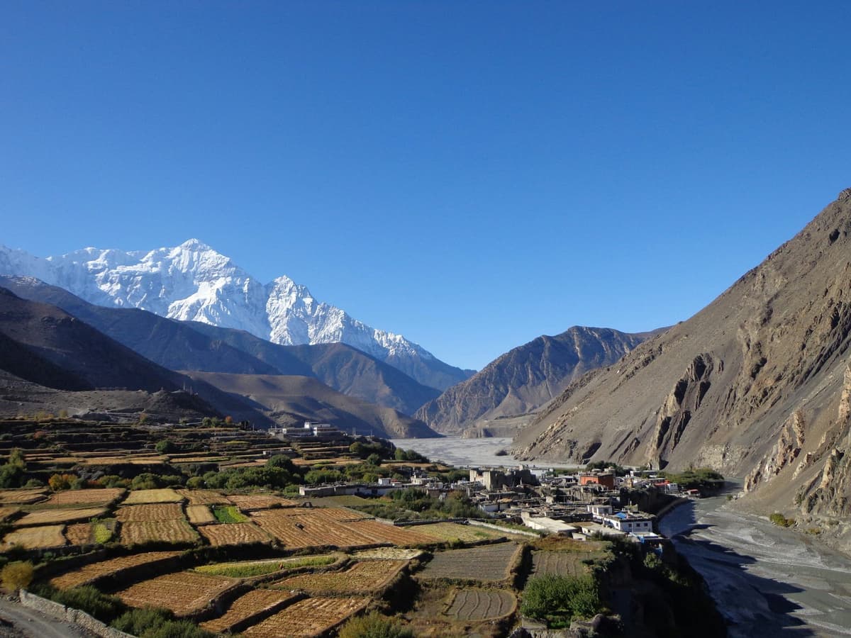
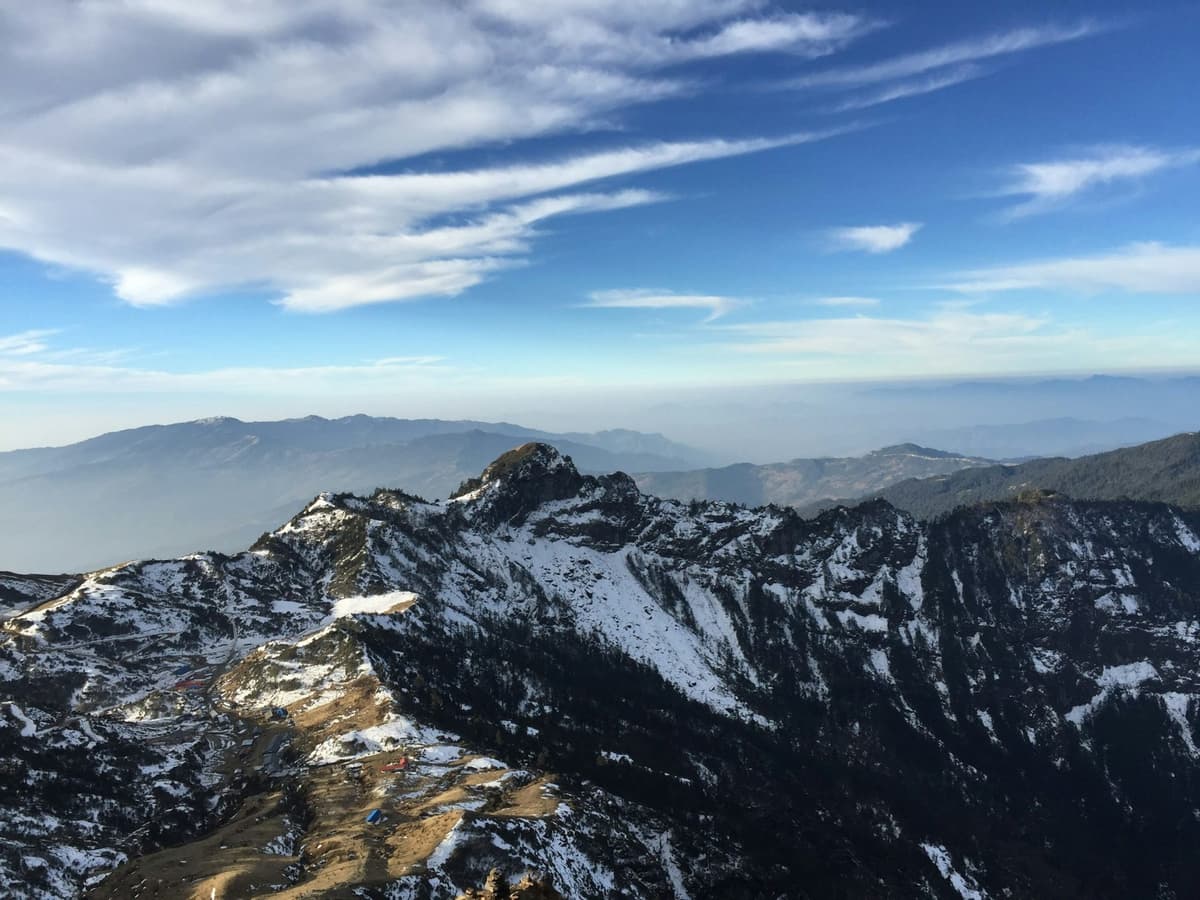
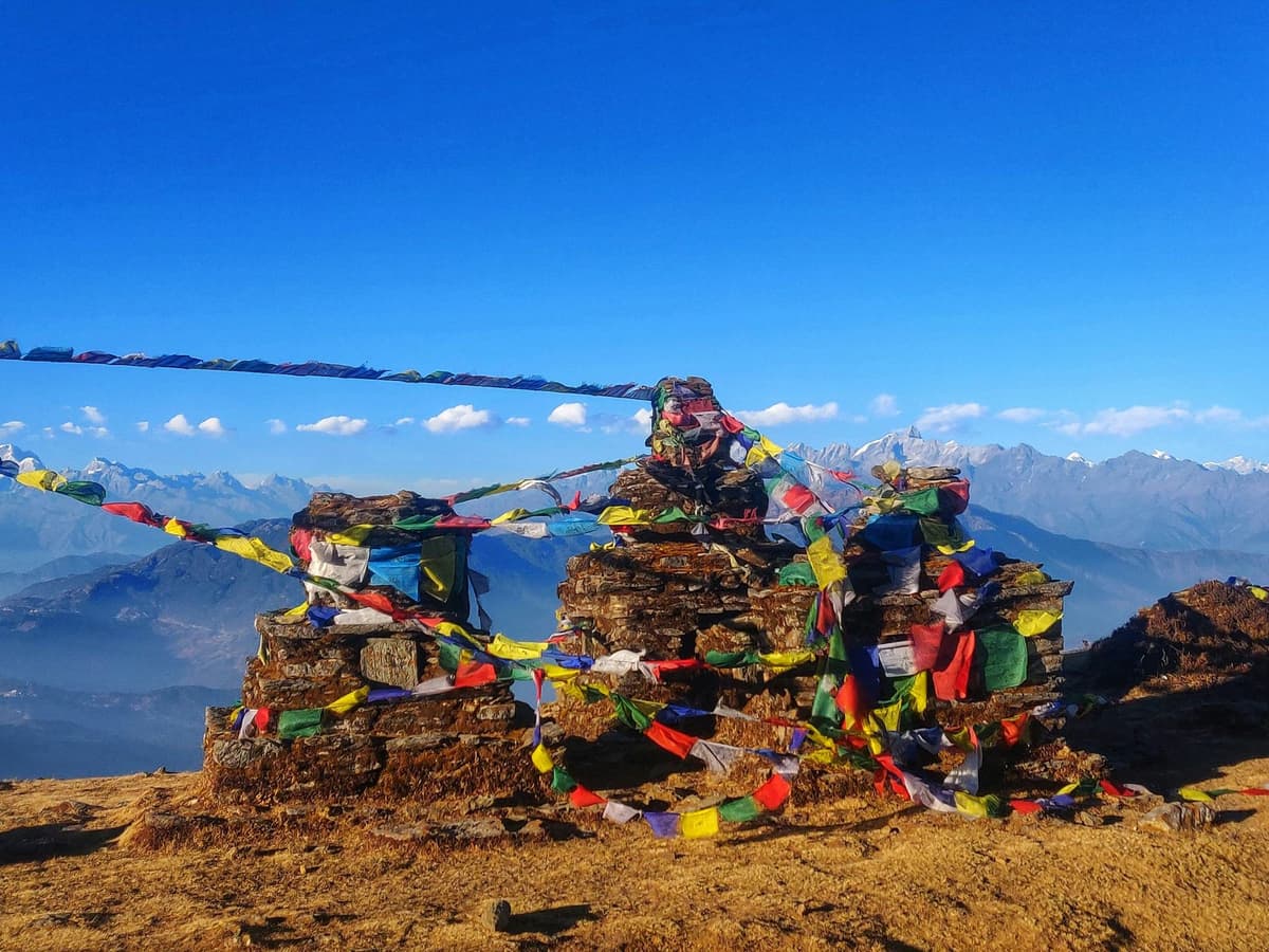
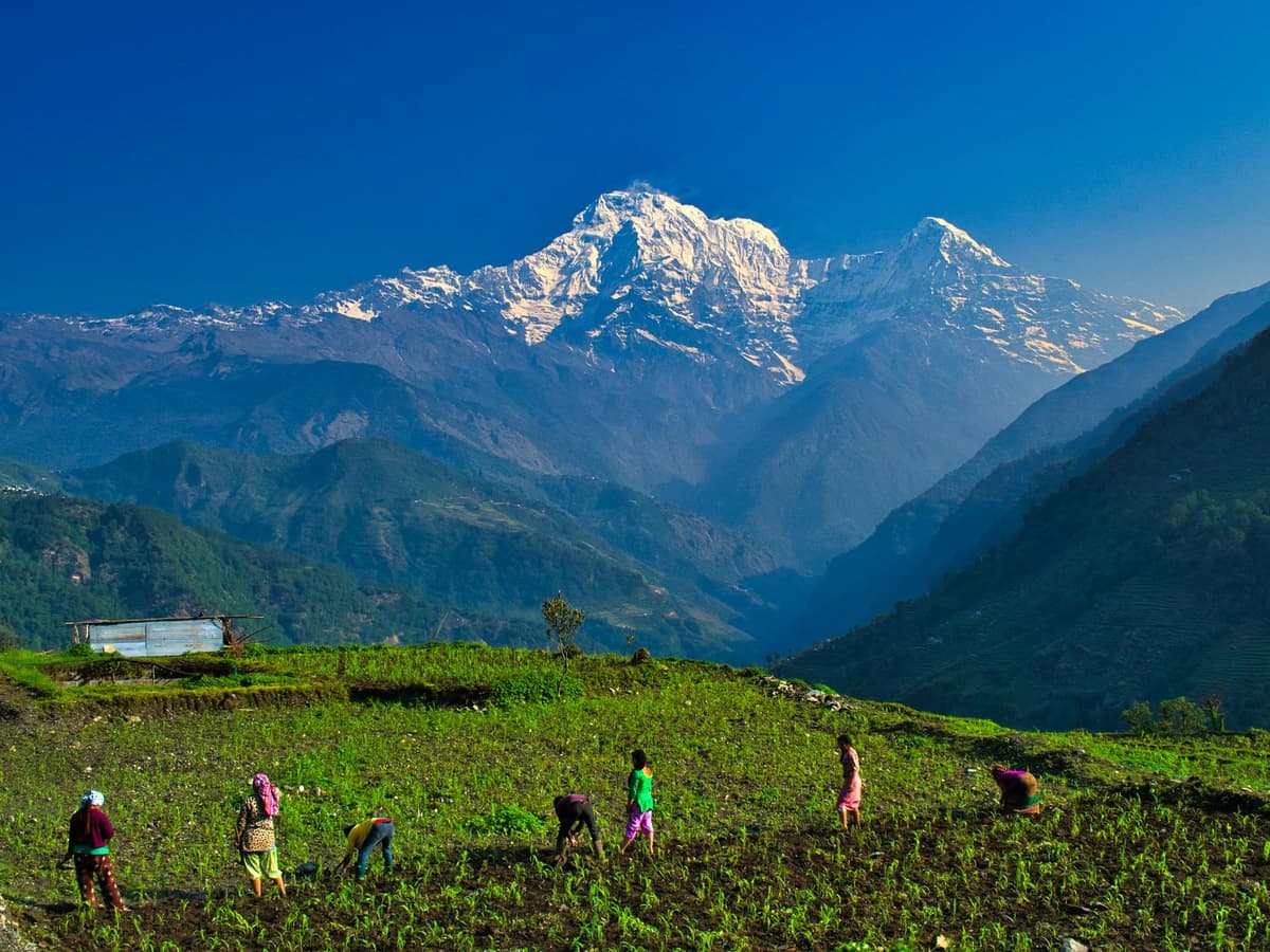
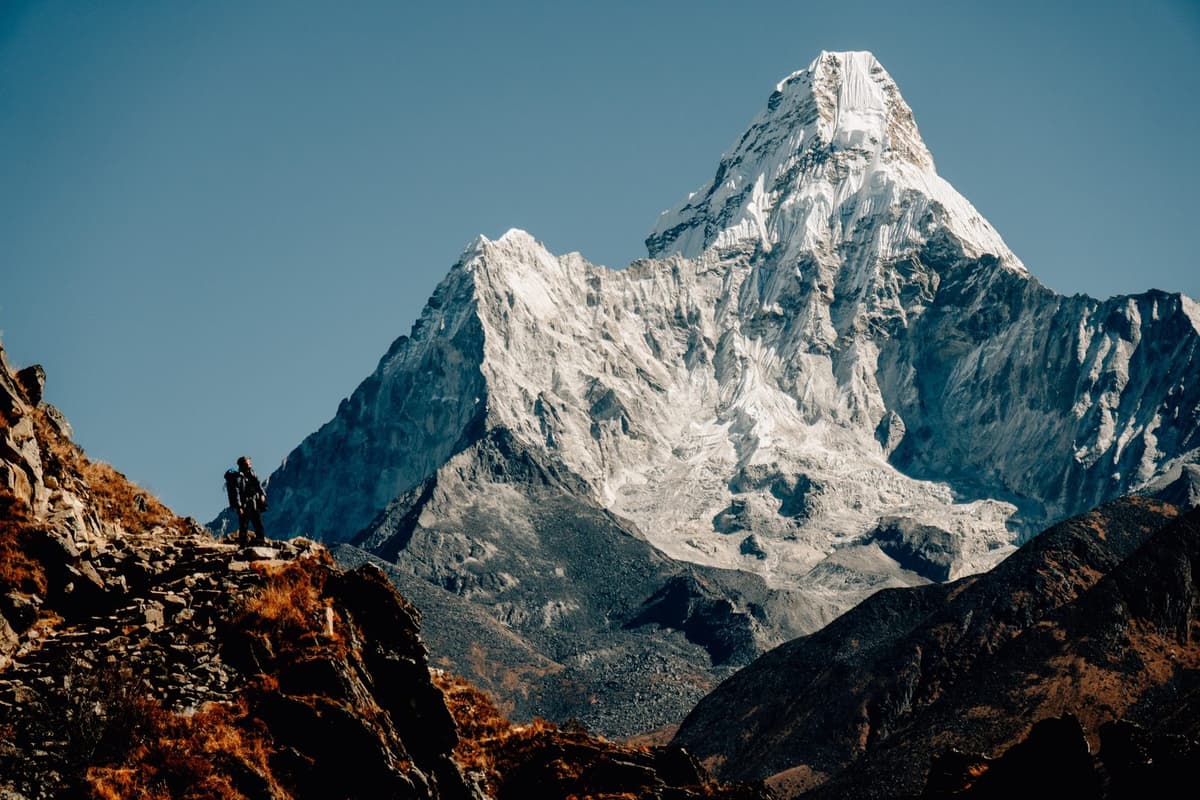
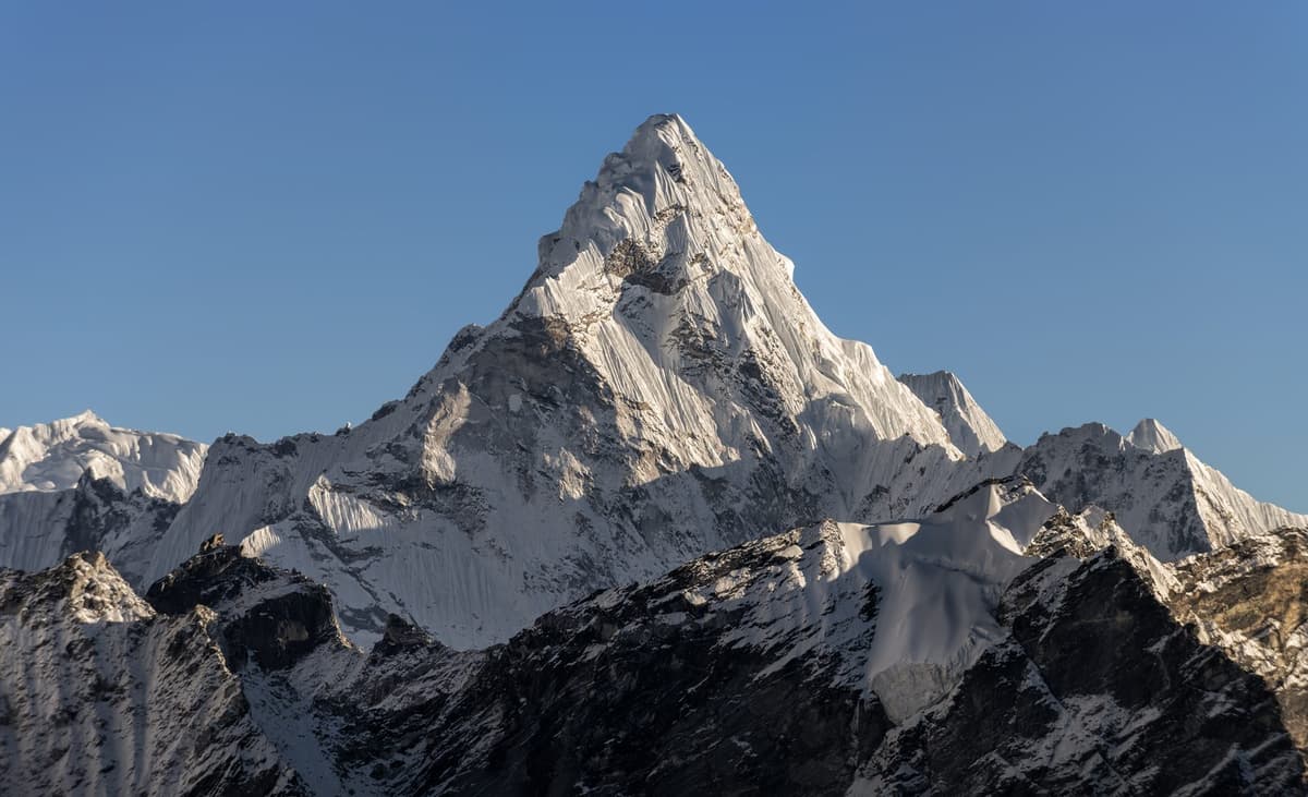
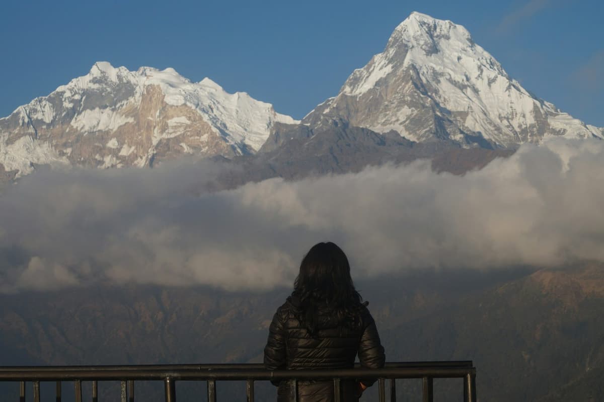
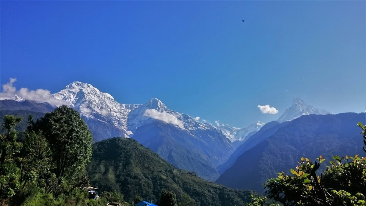
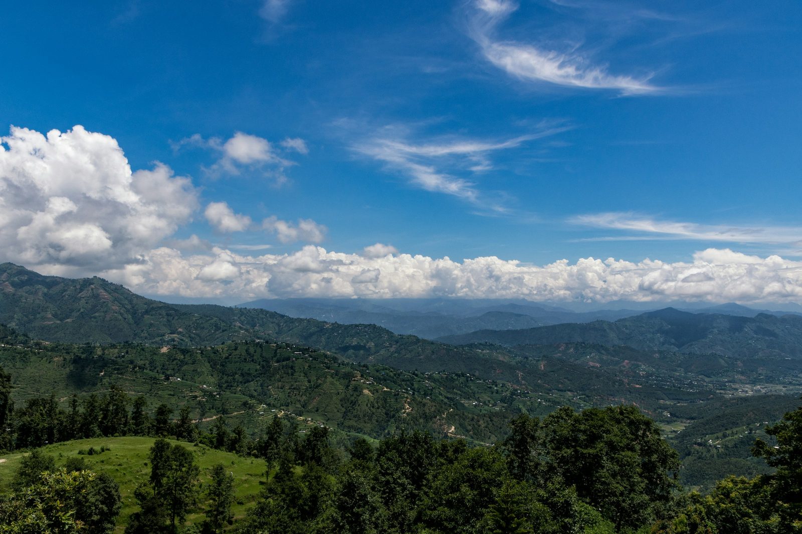
On a clear day you see a long stretch of the central Himalaya from Dhulikhel. The municipality says the view runs from Langtang in the west to Everest in the east and counts more than 20 peaks, including Annapurna, Ganesh Himal, Gaurishanker and Lhotse. Haze or cloud can hide all of it, so timing matters.
"the twin crest of Mt. Langtang in the west to the Mt. Everest in the east"
Dhulikhel Municipality, Brief Introduction, checked 1 November 2026
A Kathmandu University page agrees, and NTB calls the hill-station view "an impressive vista of the snowy central Himalayas". Himal means a snow mountain or range, so Ganesh Himal is the Ganesh range.
Everest, at 8,848.86 m, is at the eastern end. We print no heights for the other peaks, because published figures differ. Bring binoculars or a zoom lens, as the peaks are far off, and do not judge the morning by a cloudy evening.
With winter mean minimums above freezing even at the higher Nagarkot station, Dhulikhel is a place to look at snow, not to walk in it. If snow underfoot is the goal, our snow in Nepal guide and our Kathmandu to Kalinchowk guide cover higher places within reach of the city.
Takeaway: Go up at dawn in the clear months; no one can promise the peaks on a given morning.
Things to do in Dhulikhel
The main things to do in Dhulikhel are the sunrise walk, the old bazaar, the walk to Namobuddha and its monastery, the old town of Panauti, and some mountain biking. Most of it is on foot and starts early.
Walk to Namobuddha
Namobuddha is a Buddhist pilgrimage site on a hilltop near Panauti, at 1,750 m (5,741 ft), a little higher than Dhulikhel. NTB says "Namobuddha can be reached by a three-hour trek from Dhulikhel or Panauti", and the municipality calls it "an interesting and pleasant three-hour hike from the town".
NTB says a dirt road runs "from Dhulikhel to Namo Buddha via Kavre" and calls the out-and-back "a pleasant roundtrip walk of eight hours", so treat it as a full day; NTB also calls it "a leisurely all-day hike".
Before you set off:
- Start early and carry water, snacks and sun protection.
- Wear walking shoes. A dirt road is dusty when dry and slippery after rain.
- Ask the way at junctions, using Namobuddha by name.
- Plan your return first: walk back, carry on to Panauti, or have a car meet you.
For more walks like this around the valley, see our Kathmandu hiking guide.
The Namobuddha legend
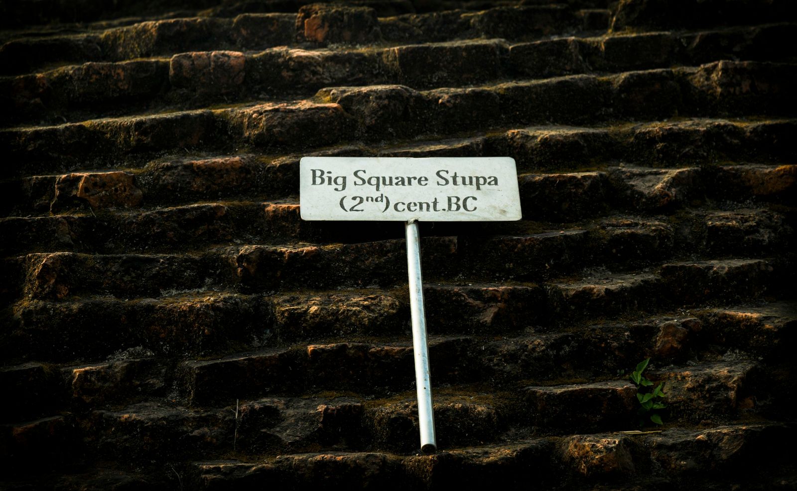
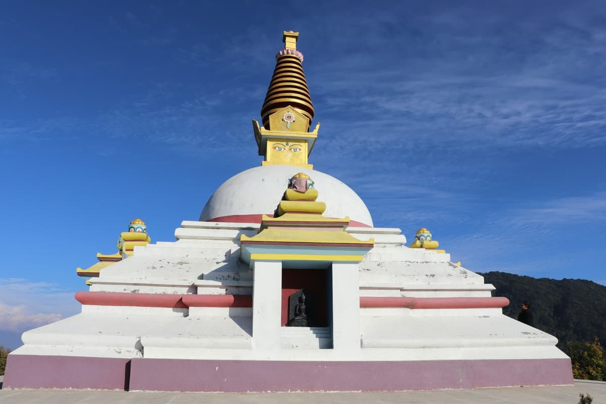
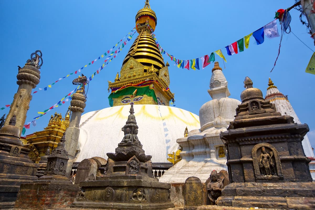
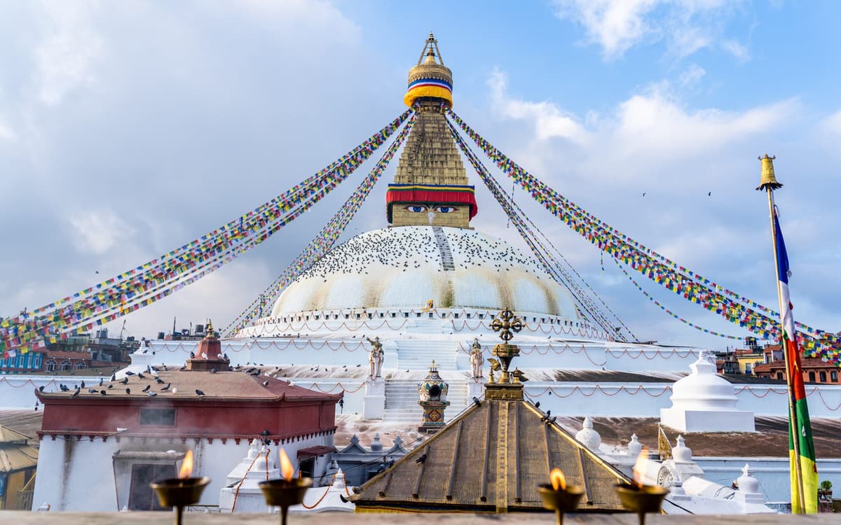
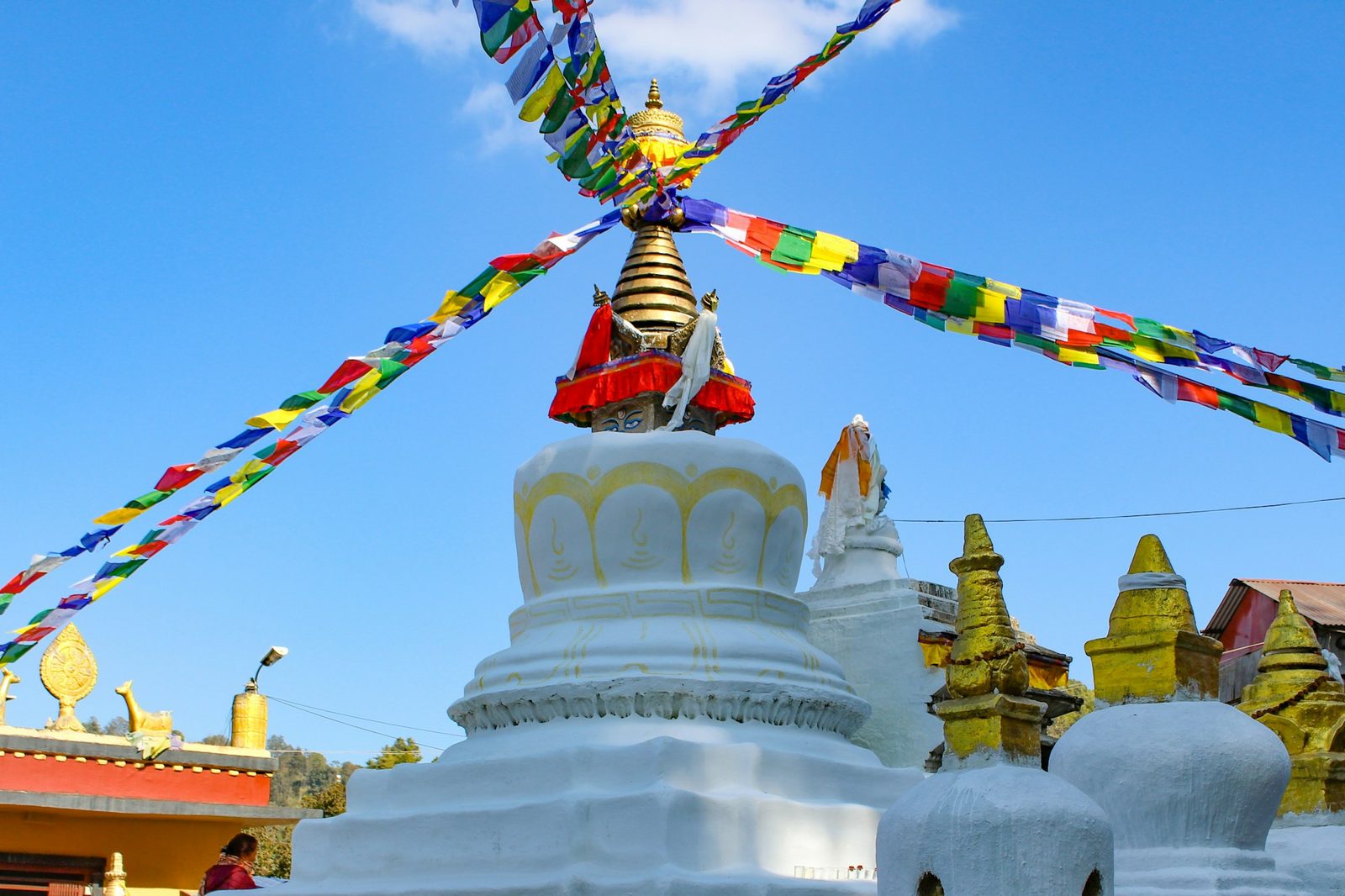
Namobuddha is known for one story. NTB's main site says "one of the earlier Buddhas once came across a tigress who had given birth to cubs", and "the kind Buddha offered his own flesh to the tigress to keep her and the cubs alive". It adds: "There is a small stupa built in reverence to the ultimate sacrifice of the Buddha." A stupa is a dome-shaped Buddhist shrine. NTB's trade site notes that "a carved stone slab on the top of the hill depicts the moving story", so look for it at the top.
In the version told at the monastery, the man in the story is a prince, Mahasattva, in an earlier life of the Buddha. The Kathmandu Post has called Namobuddha "One of the three most important stupas in Nepal".
Thrangu Tashi Yangtse monastery
On the hilltop above the stupa stands Thrangu Tashi Yangtse monastery, a Tibetan Buddhist monastery founded by Khenchen Thrangu Rinpoche, a teacher of the Karma Kagyu tradition. It was consecrated in 2008, and its temple officially opened on 5 December 2008. Thrangu Rinpoche died on 4 June 2023, aged 91.
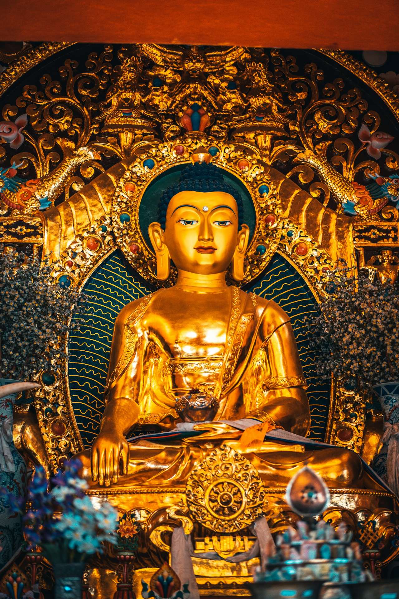
The Kathmandu Post reported in 2019 that the monastery had a population of between 250 and 400, changing through the year, with two residences where guests could stay and many guesthouses in the surrounding area; check what is open now if you want to stay. When you visit, cover shoulders and knees, take off your shoes in temple halls, keep your voice low, and ask before photographing monks.
Panauti, the old town by two rivers
Panauti is an old Newar town near Namobuddha, about an hour from Kathmandu by regular bus, according to NTB. It stands at the sacred confluence of the Roshi Khola and the Punyamati Khola (khola means river or stream).
UNESCO has listed "The early medieval architectural complex of Panauti" on its Tentative List since 1996, a list of possible future nominations, not World Heritage status itself. The UNESCO entry dates Panauti's Indreshwar Mahadev temple to 1294. The municipality says Panauti was "originally a small state given by king Bhupatintra Malla as a dowry to his sister", and that its Makar Mela festival takes place once in 12 years. The last one ran from 15 January to 12 February 2022. We found no entry fee for Panauti in any official or press source.
The Dhulikhel, Namobuddha and Panauti loop
The three places make a natural triangle. NTB gives three hours on foot to Namobuddha "from Dhulikhel or Panauti", so each walking leg is about three hours. We give legs, not a total, because time at each stop varies so much. You can:
- Walk both legs, Dhulikhel to Namobuddha to Panauti: a long day, so start early.
- Walk one leg and drive the other, the most relaxed option.
- Drive the loop with short walks at each stop.
Sleep in Dhulikhel the night before, agree where your car will meet you, and leave Panauti for the afternoon.
Mountain biking
NTB lists the "Nagarkot, Dhulikhel areas in the east" among the valley-rim mountain-biking trails. We have no official route or distance to give; ask us what is possible for your dates.
Zipline: check before you plan
A zipline opened at Dhulikhel in 2019, according to The Rising Nepal, and Onlinekhabar reported it running in January 2022. Plans published before it opened put the launch pad at Thalke Dada (dada means hill) in Dhulikhel and the landing at Khawa. We could not confirm it is running in 2026, so ask us to check before you plan around it. We give no length or price, because published figures disagree.
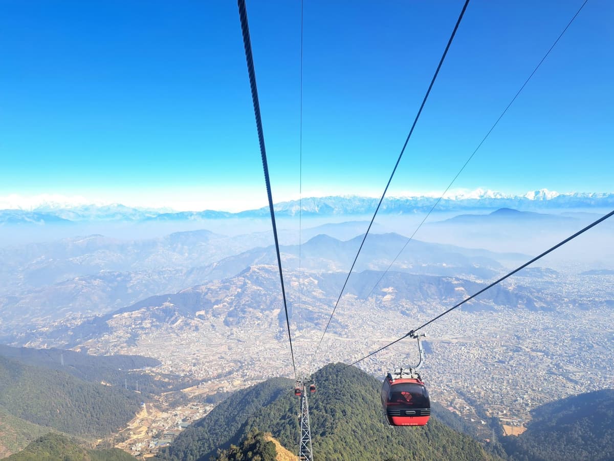
Chandragiri does have one: its operator lists a "zipline, swing, wall climbing, free fall, horse riding, sky cycling, skywalk, cycling 360 degrees, hiking". Our Chandragiri cable car guide covers that hill.
Takeaway: Sunrise and the Namobuddha walk are the heart of a visit; add Panauti if you have time, and check the zipline first.
Dhulikhel weather: what to expect month by month
There is no published climate normal for Dhulikhel itself. The two nearest official stations sit either side of it: the Kathmandu airport weather station at 1,337 m below, and Nagarkot at 2,147 m above. Dhulikhel, at about 1,550 m, sits between them, so expect conditions between the two.
Monthly normals at Kathmandu airport and Nagarkot, the stations either side of Dhulikhel (not Dhulikhel's own figures)
| Month | Kathmandu airport, 1,337 m: mean max / min °C | Kathmandu airport rain, mm | Nagarkot, 2,147 m: mean max / min °C | Nagarkot rain, mm |
|---|---|---|---|---|
| January | 19.2 / 2.8 | 15.2 | 12.9 / 2.9 | 19.3 |
| February | 22.1 / 5.3 | 23.6 | 15.3 / 4.6 | 18.1 |
| March | 26.0 / 8.8 | 38.0 | 19.3 / 7.6 | 25.9 |
| April | 28.6 / 12.3 | 62.9 | 22.5 / 10.8 | 55.0 |
| May | 29.2 / 16.1 | 128.8 | 22.8 / 12.5 | 147.5 |
| June | 29.5 / 19.3 | 241.4 | 23.1 / 15.5 | 325.5 |
| July | 28.7 / 20.3 | 384.1 | 22.2 / 15.6 | 473.7 |
| August | 29.0 / 20.2 | 342.7 | 22.3 / 15.5 | 477.9 |
| September | 28.6 / 18.8 | 207.8 | 21.9 / 14.4 | 253.6 |
| October | 27.2 / 13.9 | 43.3 | 20.6 / 11.3 | 65.8 |
| November | 23.6 / 8.4 | 6.4 | 17.5 / 7.3 | 9.1 |
| December | 20.2 / 4.2 | 7.8 | 14.3 / 4.3 | 11.9 |
| Year | 1,502 | 1,883.7 |
Kathmandu figures are 1991 to 2020 normals. Nagarkot temperatures are DHM 1991 to 2020; Nagarkot rainfall covers a different period, 1976 to 2005, so compare the rain columns loosely.
What it means for you:
- Winter dawns are cold. January's mean minimum is 2.8°C at the airport and 2.9°C at Nagarkot.
- The monsoon is very wet. July brings 384.1 mm at the airport and 473.7 mm at Nagarkot. DHM's normal onset is 13 June; in 2026 the monsoon began on 19 June.
- Autumn is dry. November rain is just 6.4 mm at the airport and 9.1 mm at Nagarkot.
Takeaway: Expect weather between Kathmandu's and Nagarkot's, a cold dawn in winter and heavy rain from June to September.
When is the best time to visit Dhulikhel?
October and November are the best months for Dhulikhel. NTB says "the clearest skies are found after the monsoon in October and November". The monsoon normally withdraws on 2 October, but in 2026 it lasted until 14 October, so early October can still be wet.
The rest of the year:
- December to February: dry, with cold mornings. Good if you dress warmly.
- March to May: warmer, with rain building through April and May.
- June to September: the monsoon. The hills are green, but rain is heavy, the peaks are often hidden, and roads can be disrupted.
Takeaway: Choose October or November for the best chance of clear peaks, leaning later in October in a year when the monsoon runs late.
Dhulikhel, Nagarkot or Chandragiri: which hill station suits you?
Choose Dhulikhel for a real town, temples and the walk to Namobuddha. Choose Nagarkot if a higher viewpoint and a resort stay are the point. Choose Chandragiri if you only have a few hours, since it is the closest of the three and you ride a cable car to the top. For a night away, Dhulikhel or Nagarkot both work.
Dhulikhel, Nagarkot and Chandragiri compared
| Dhulikhel | Nagarkot | Chandragiri | |
|---|---|---|---|
| Height | 1,550 m | About 2,100 to 2,200 m | Top station 2,551 m |
| Distance from Kathmandu | 30 km | About 32 km | About 13 km |
| Getting there | About an hour by road (NTB) | Usually 1.5 to 2 hours by road | Cable car from Thankot, about 10 minutes |
| On NTB's hill-station list | Yes | Yes | No |
| Hotels | NTB: good hotels and resorts | NTB: good hotels and resorts | Ask us |
| Main draw | Old bazaar, sunrise temple, Namobuddha and Panauti walks | Himalayan views, mountain-biking area | Cable car, zipline and other rides |
| Best for | An overnight stay with walks and culture | A higher viewpoint overnight | A short half-day or day out |
NTB's hill-station page says of Nagarkot, Dhulikhel, Daman and Kakani that "Good hotels and resorts are available in all four places." Our Nagarkot guide covers Nagarkot in full.
Takeaway: Dhulikhel for walks and a living town, Nagarkot for a higher view, Chandragiri for a quick cable-car outing.
Practical tips before you go
- Where to stay. Near the old town, to make the dawn walk easier.
- Medical help. Dhulikhel Hospital, a not-for-profit community hospital, is in the town. Save its name in your phone before a walk.
- Cash. Carry Nepali rupees in small notes.
- What to pack. A warm layer, a torch, shoes with grip, water, sun protection, and a rain jacket from May to September.
- Combining with Bhaktapur. On a longer trip you can pair Dhulikhel with Bhaktapur; our Bhaktapur guide has that town's fee and timing.
- Roads. After heavy rain, check the Araniko Highway before an early or late drive.
Takeaway: Bring cash, a torch and a warm layer, and visit sites in daylight.
Frequently asked questions
Which hill station near Kathmandu is best for a short break?
Dhulikhel suits an overnight stay with a real town, temples and the three-hour walk to Namobuddha. Nagarkot is higher, at about 2,100 to 2,200 m, and suits a night with a higher view. Chandragiri, about 13 km away with a cable car of about 10 minutes, suits a few hours. For clear views, go in October or November.
What is there to do in Dhulikhel, and how high is it?
The municipality puts Dhulikhel at 1,550 m (5,085 ft); published figures run from about 1,500 to 1,650 m. The main things to do are the 30-minute sunrise walk to the Bhagawati Temple, the old bazaar and its temples, the three-hour walk to Namobuddha and its monastery, and a visit to the old town of Panauti.
What is the story of Namobuddha, and can I hike there from Dhulikhel?
NTB says "one of the earlier Buddhas" offered his own flesh to a tigress and her cubs here; in the version told at the monastery, he is a prince, Mahasattva, in an earlier life of the Buddha. Yes, you can walk from Dhulikhel. NTB and the municipality both give about three hours, and NTB calls the round trip an eight-hour walk. Start early and plan your return before you set off.
Is there a zipline at Dhulikhel or Chandragiri?
A zipline opened at Dhulikhel in 2019 and was reported running in January 2022. We could not confirm it is running in 2026, so ask us to check before you plan around it. Chandragiri's operator lists a zipline among its activities, along with a swing, wall climbing, free fall and sky cycling. Our Chandragiri cable car guide has more on that hill.
How do I get to Bandipur from Kathmandu or Pokhara?
From Kathmandu, Bandipur is five to six hours by road. There is no direct public bus. Take a bus to the Dumre junction, then a local bus about 8 km up the hill, which takes about 30 minutes. From Pokhara, NTB gives about 76.5 km, or about two hours and ten minutes by bus. Our Bandipur guide covers the route.
Do I need a ticket to visit Dhulikhel or Namobuddha?
We found no entry fee for Dhulikhel or Namobuddha in NTB, municipality or press sources, and none for Panauti. That is not a guarantee that nothing is ever charged, so carry a little cash in Nepali rupees. We also found no published opening hours for the temples or the monastery, so visit in daylight and ask locally.
Plan your Dhulikhel visit
Dhulikhel rewards a night more than a rushed day: sunrise from the Bhagawati Temple, a slow morning in the old bazaar, then the long walk to Namobuddha. To see how it fits with the other hill towns around the valley, go back to our guide to hill stations in Nepal.
These trip pages cover the area:
Tell us your dates and how much walking you enjoy. Message us on WhatsApp or use the enquiry form and we will reply with options.