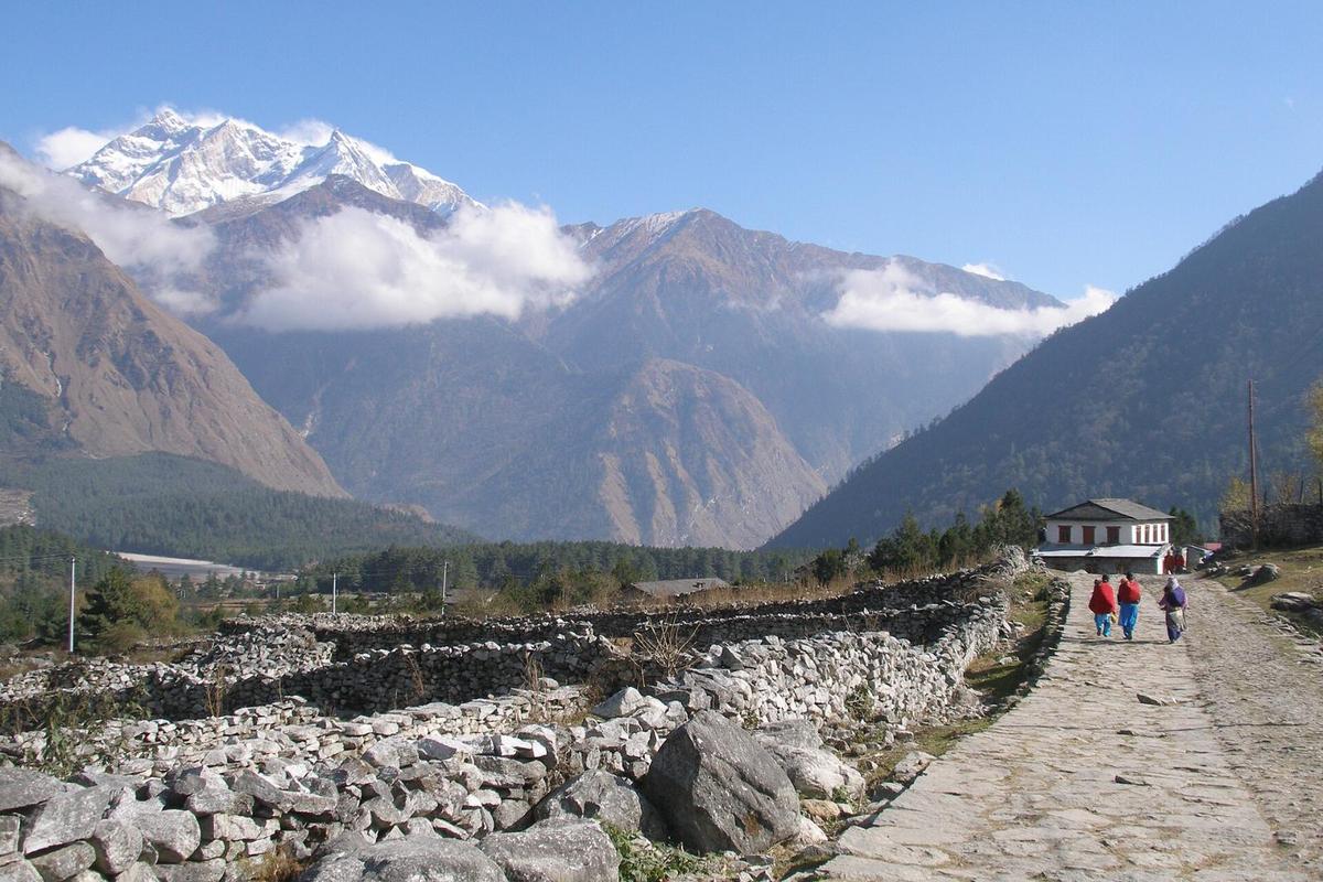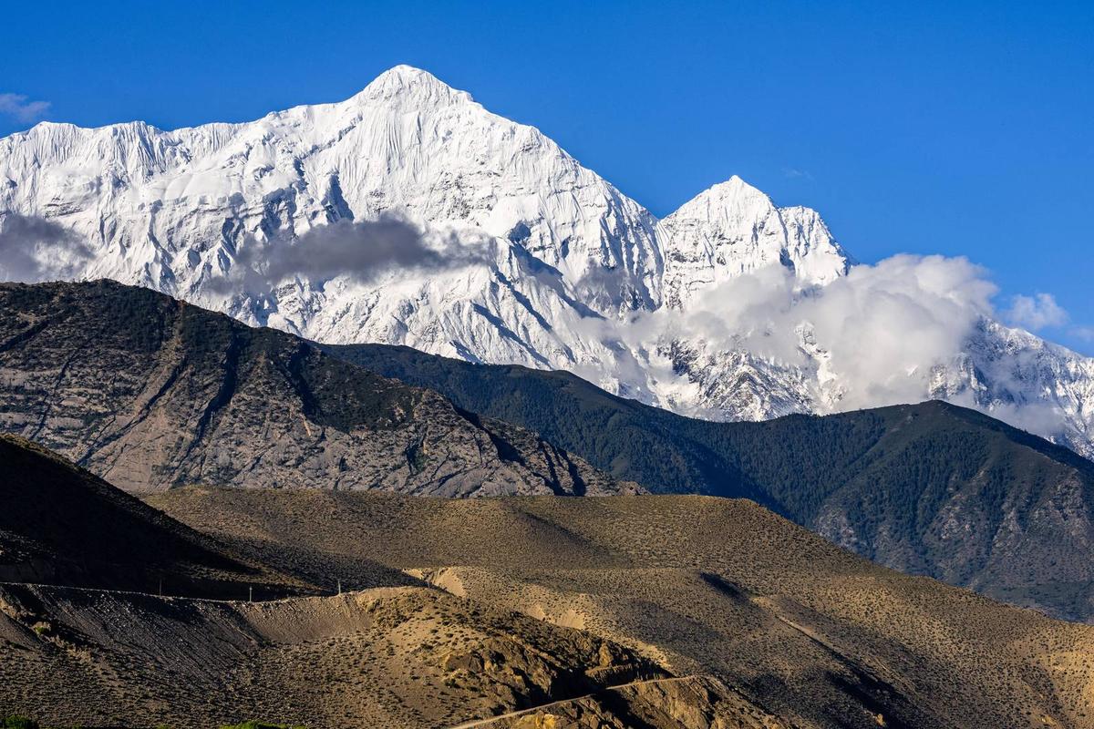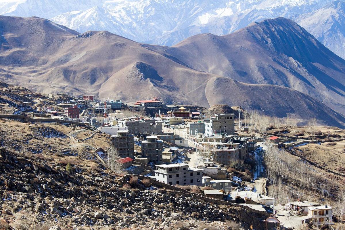
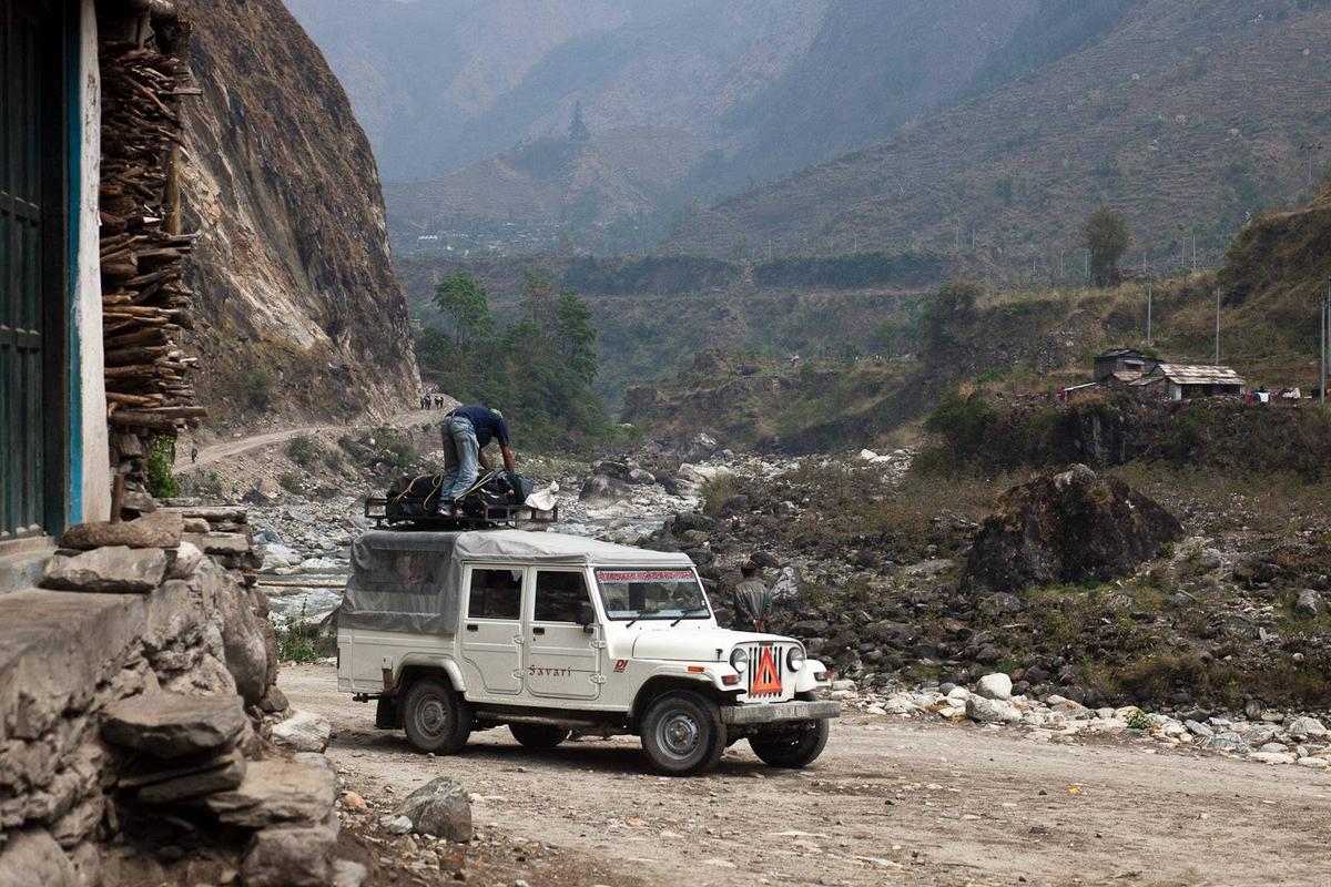
The road from Pokhara to Muktinath runs west to Beni, then north up the Kali Gandaki, past the hot springs at Tatopani and the checkpoint at Ghasa, into the dry country around Jomsom. It ends at Ranipauwa, and pilgrims walk the last stretch to the temple gate.
By Uncover Nepal Guide · Checked by our Kathmandu travel team · Updated 13 Nov 2026
Pokhara to Muktinath is a road journey this season: most of a day to Jomsom through Beni, then about 25 km, or 45 minutes to 1.5 hours by jeep, up to Ranipauwa below the temple. Regular Jomsom flights are suspended, so only a charter flight or helicopter is faster. Sleep in Jomsom before the temple.
Muktinath is one of the sites in our Nepal pilgrimage guide. This page covers the journey from Pokhara and what is open in November 2026.
In this guide
- Key facts
- How far is Pokhara to Muktinath temple, and how long does it take?
- What is the road like, leg by leg?
- Jeep or bus: where do you change?
- Is the Muktinath road open in November 2026?
- Can you fly from Pokhara to Jomsom now?
- Is a helicopter to Muktinath a good idea?
- Muktinath temple: how to reach it, and which way suits you?
- Where should you break the journey?
- Which permit do you need, and where is the Ghasa counter?
- How should older pilgrims handle the altitude?
- How do you get back from Muktinath to Pokhara?
- When is the best time to go?
- Frequently asked questions
- Plan your Muktinath journey with us
Key facts
- Distance
- Operators disagree: about 170 to 195 km; Beni to Jomsom 76 km (Operators; The Rising Nepal (15 August 2026), checked 14 November 2026)
- Travel time
- Most of a day to Jomsom, then 45 minutes to 1.5 hours by jeep (Operator figures, 14 November 2026)
- Road status
- Blocked by rockfalls on 31 October 2026; running one way on damaged stretches by 3 November (Gorkhapatra, 31 October and 3 November 2026, checked 14 November 2026)
- Jomsom flights
- Regular flights suspended since 19 and 21 October 2026; charters continue (Himal Press; Nepal News, 14 November 2026)
- Helicopter
- About USD 3,000 to 3,800 to charter from Pokhara; market range, not ours (Operators, May and September 2026, 14 November 2026)
- Jeep and bus fares
- Fares vary; ask us. No official fare found (Official and press sources, 14 November 2026)
- Permit
- ACAP only: NPR 3,000 foreign, NPR 1,000 SAARC, under 10 free (NTNC e-permit portal; NTB, 14 November 2026)
- Altitude
- Pokhara about 820 m; Jomsom about 2,740 m; Muktinath about 3,800 m, according to NTB (NTB (Muktinath); Wikipedia (Pokhara; Jomsom DHM station), 14 November 2026)
How far is Pokhara to Muktinath temple, and how long does it take?
Published Pokhara to Muktinath road distances disagree: operators quote about 170 km to 195 km. The sourced legs are firmer: Beni to Jomsom is 76 km, and Jomsom to Muktinath about 25 km. Plan on most of a day to Jomsom, then 45 minutes to 1.5 hours by jeep.
Pokhara to Beni distance figures vary, so we give NTB's time instead: "Beni is a 3 hour drive from Pokhara". Operators quote about 7 to 10 hours to Jomsom in good conditions, but after the floods the Myagdi section alone took three to four hours (20 October report). The Muktinath temple to Pokhara distance is the same road, plus the walk down to Ranipauwa.
What is the road like, leg by leg?
A mountain road along the Kali Gandaki: west to Beni, then north through Tatopani, Ghasa, Lete, Kalopani, Larjung, Kobang, Tukuche and Marpha to Jomsom, then on to Kagbeni and up to Ranipauwa. Much of it had been blacktopped by December 2025, before the September 2026 floods damaged it at about 50 places.
| Leg | Distance | Notes | Source |
|---|---|---|---|
| Pokhara to Beni | About 3 hours; no reliable km figure | Last link from Maldhunga, about 13 km | NTB; ekantipur |
| Beni to Kavrebhir (Mustang border) | 33 km | About 26 km blacktopped by December 2025 | ekantipur; MakaluKhabar |
| Tatopani to Ghasa | 16.5 km | Upgraded by December 2025 | The Himalayan Times |
| Beni to Jomsom, whole section | 76 km | About 22 km highly flood and landslide prone | The Rising Nepal |
| Jomsom to Kagbeni | 13 km | Past Eklebhatti | OnlineKhabar |
| Kagbeni to Ranipauwa | 12 km | The road ends here | Khabarhub |
Pokhara to Beni
The easier part of the drive. The last link, Maldhunga to Beni, was almost all blacktopped by December 2025, and in NTB's words, "Bus to Mustang also departs from Beni".
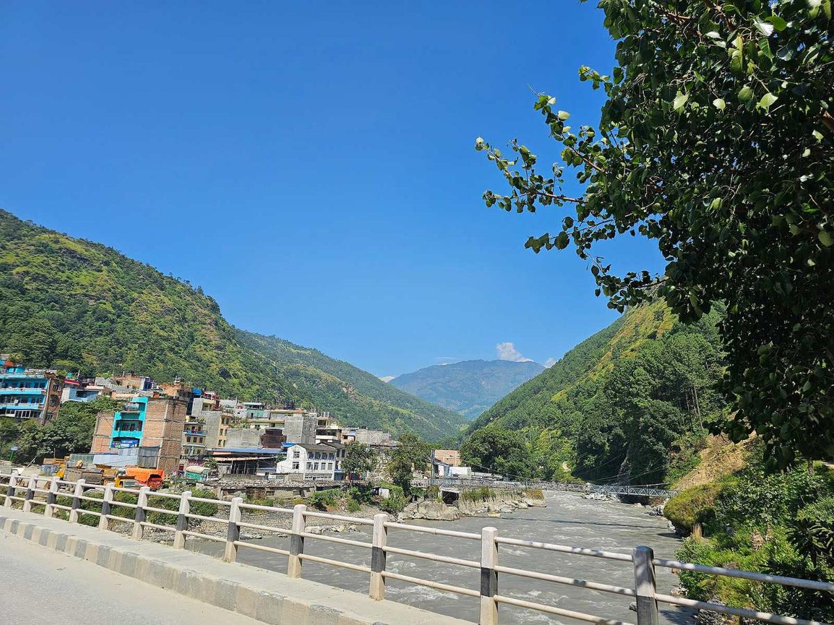
Beni to Ghasa: Rupse and Tatopani
Rupse waterfall comes down beside the road in Myagdi, about 30 km north of Beni, and NTB lists "Tatopani in Myagdi on the way to Jomsom" among Nepal's hot springs.
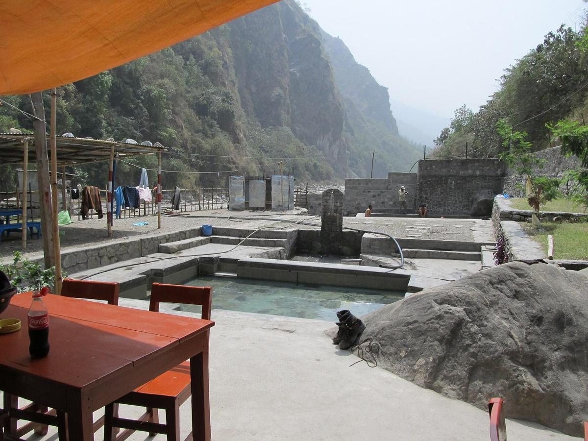
Ghasa to Jomsom: Lete, Tukuche and Marpha
Past Kavrebhir, at the Mustang border, comes Ghasa: police at the checkpoint count vehicles going into and out of Mustang, and NTNC has an ACAP permit counter. The road then climbs through Lete, Kalopani, Tukuche and Marpha to Jomsom.
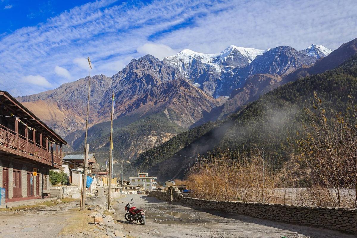
Jomsom to Ranipauwa: Kagbeni and the last climb
Jomsom sits at about 2,740 m, with its airport at 2,736 m (8,976 ft), and your ACAP permit is checked here. The road runs 13 km past Eklebhatti to Kagbeni, then climbs 12 km to Ranipauwa, where vehicles stop; you walk up to the gate or ride a horse.
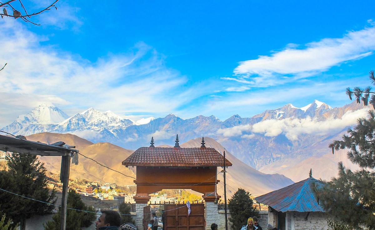
Our Jomsom to Muktinath guide covers this last leg, including walking it: NTB calls it "a five-hour walk from Jomsom to Muktinath".
Jeep or bus: where do you change?
By bus you normally change at Beni: NTB says regular buses run between Pokhara and Beni, and that buses to Mustang leave from Beni. A reserved jeep can take you the whole way, and you choose where to stop. Fares vary; ask us: we found no official or published fare for any leg.
- Public bus. Pokhara to Beni, then a Mustang bus. NTB says buses now go "all the way to Muktinath", so ask locally if yours runs through or you change again at Jomsom.
- Reserved jeep. You set the pace and choose the stops, which suits older pilgrims.
- The last 25 km. Jeeps and buses run from Jomsom to Ranipauwa.
Is the Muktinath road open in November 2026?
Open, but fragile. Rockfalls blocked the Beni to Jomsom road at several points on 31 October, three weeks after it reopened from the floods. On 3 November Gorkhapatra reported traffic running again, one way where only part of the landslide debris had been cleared, with repairs under way. We found no report of the Jomsom to Muktinath road closing in November. Check with us the day before.
Can you fly from Pokhara to Jomsom now?
Not on a regular flight. Tara Air suspended Pokhara to Jomsom flights from 19 October 2026 and Summit Air from 21 October, reported for about five months; the Jomsom Airport chief said charters would continue. Up to 14 November we found no restart notice.
"Private airline operators have suspended regular air services between Pokhara and Jomsom for a period of five months."
Nepal News, "Pokhara-Jomsom air services suspended for five months", 22 October 2026, checked 14 November 2026
When it runs, the flight takes roughly 20 minutes, usually in the morning before the wind rises, and you take a jeep up from Jomsom. Winter pauses are normal too: last winter, flights did not restart until March 2026. Our Jomsom guide has more.
Is a helicopter to Muktinath a good idea?
Only if your doctor agrees and you are short of days. Helicopters land at a helipad in Ranipauwa after a short flight. The market range from operators, not ours, is about USD 3,000 to 3,800 to charter from Pokhara, with shared seats from about USD 650 to 750 (May and September 2026).
The Rising Nepal reported in October 2026 that tourists flying in to visit religious sites in Mustang must be accompanied by a security agency representative. You get only a short time at the temple, and you go from about 820 m (about 2,690 ft) to about 3,800 m (about 12,470 ft) within a morning, the kind of jump the NHS advises against.
Muktinath temple: how to reach it, and which way suits you?
For most pilgrims starting in Pokhara this season, a reserved jeep with a night in Jomsom is the sensible way. Buses suit travellers with spare days. The Jomsom flight is suspended, and a helicopter suits only those whose doctor has agreed to the altitude jump.
| Way | Time | Status, November 2026 | Suits | Watch out for |
|---|---|---|---|---|
| Bus via Beni | Most of a day to Jomsom | One way on damaged stretches (3 November) | Spare days | Changes |
| Reserved jeep | Most of a day to Jomsom | As above | Families, older pilgrims | Fares vary; ask us |
| Flight, then jeep | Roughly 20 minutes in the air | Suspended; charters only | Short trips, when it runs | Mornings only; altitude jump |
| Helicopter | A short flight | Charters reported almost daily (October 2026) | Short trips, with a doctor's agreement | The biggest altitude jump |
Where should you break the journey?
Sleep in Jomsom or Marpha on the first night and visit the temple next morning; our road trips sleep in Jomsom. Jomsom, at about 2,740 m, sits just under the CDC's limit for a first night up from low ground, and it has Mustang's hospital.
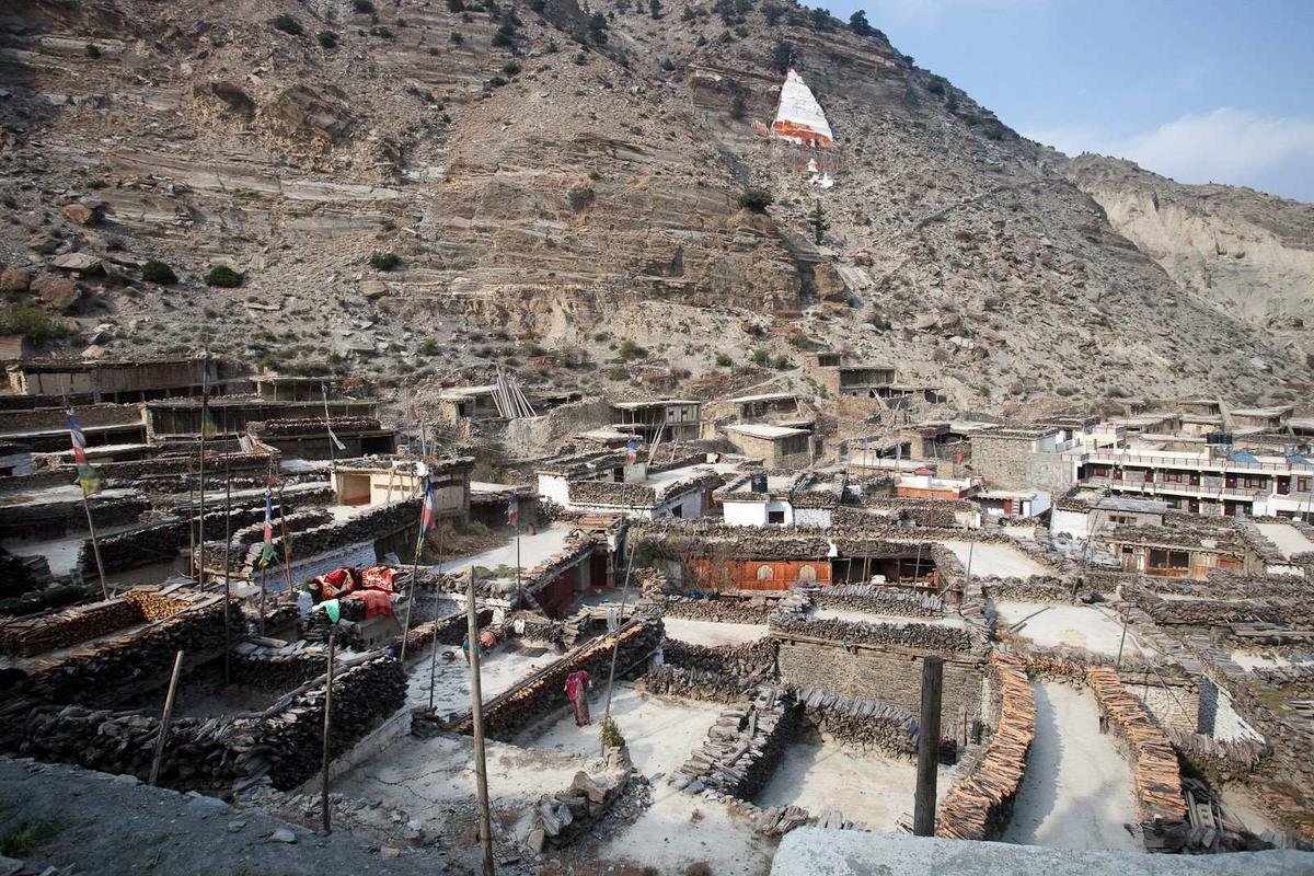
- Tatopani and Marpha. Our road trips stop at the Tatopani hot springs on the way back; Marpha is on the road just south of Jomsom. We found no reliable published height for either.
- Kagbeni. About 2,800 m (about 9,190 ft), where many pilgrims perform shraddha rites, above all during Sorha Shraddha. It sits just above the CDC's 2,750 m line, so sleep there only after a night in Jomsom.
Which permit do you need, and where is the Ghasa counter?
Only the ACAP permit, because Muktinath is inside the Annapurna Conservation Area: NPR 3,000 for foreign nationals, NPR 1,000 for SAARC nationals including Indians, and free for children below 10. No restricted-area permit is needed for Muktinath or Kagbeni. Our Mustang trips include the ACAP permit.
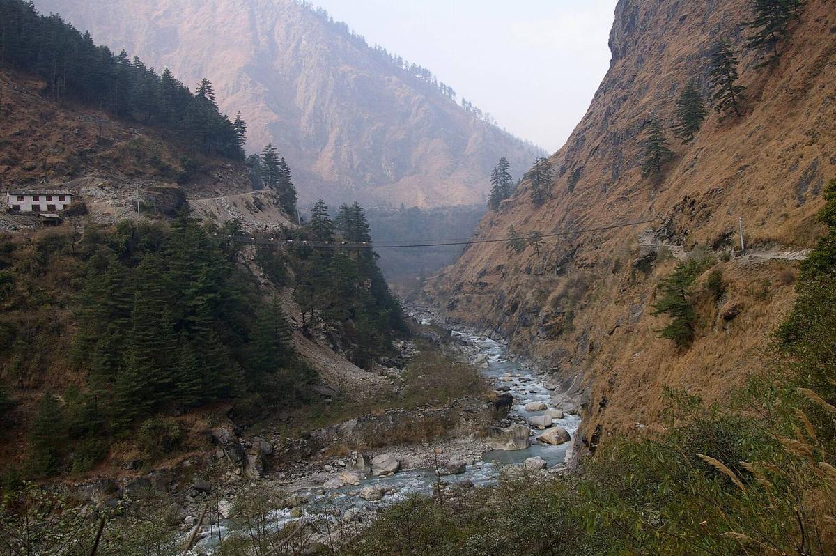
NTNC has permit counters in Kathmandu, Pokhara, Simpani and Ghasa. NTNC charges double for permits issued at check posts, so get yours in Pokhara or online (plus a 2.9% gateway charge) before the drive. It is checked at Jomsom. North of Kagbeni, Upper Mustang needs a restricted-area permit, which NTB lists at USD 50 per person per day, through a registered agency with a licensed guide (Department of Immigration rules).
Entering Nepal is your own arrangement. Indian citizens do not need a visa (NTB). Bring a passport or Election Commission (voter) ID: Aadhaar is not accepted for entering Nepal (NTB). Other nationalities can check the NTB tourist visa page.
How should older pilgrims handle the altitude?
Slowly, and with your doctor's advice before you travel. From Pokhara, at about 820 m (about 2,690 ft), the road gains about 1,900 m to Jomsom, and Muktinath is about 1,000 m higher again. Sleep in Jomsom or Marpha first, visit the temple next morning, and come back down to sleep in Jomsom.
The CDC advises against going from below 1,200 m to a sleeping altitude above 2,750 m (9,000 ft) in one day. Jomsom sits just under that line; Muktinath, at about 3,800 m (about 12,470 ft) according to NTB, is far above it. The NHS says:
"try not to travel from an altitude that's less than 1,200 metres to an altitude that's more than 3,500 metres in 1 day"
NHS, "Altitude sickness", checked 14 November 2026
A one-day drive to the temple, a flight with a jeep straight up, or a helicopter all do exactly that. Age alone is not a bar: the CDC says people over 50 have "slightly less risk", but those with coronary artery disease or chronic lung disease should "consult a physician familiar with high-altitude medical issues".
- Above 3,000 m, raise your sleeping height by no more than about 500 m a night, with a rest day every 3 to 4 days; sleeping at Muktinath instead of Jomsom adds about 1,000 m.
- Walk slowly, "bistarai, bistarai".
- Drink water and avoid alcohol early on.
- Know the symptoms: headache, nausea, tiredness, poor sleep; they can start from about 2,450 m (8,000 ft).
- Never go higher with symptoms; go down if they get worse.
- Ask your doctor about preventive medicine, such as acetazolamide.
- Garlic soup is a comforting tradition that helps you drink, not a proven cure.
Severe symptoms mean you descend at once and get medical help. Our team arranges a rescue if needed. Mustang's hospital is in Jomsom, with a health unit at Muktinath. See our altitude sickness guide.
How do you get back from Muktinath to Pokhara?
The same way, in reverse: down to Jomsom by jeep or bus, then most of a day down the Kali Gandaki to Pokhara. Our road trips sleep in Jomsom after the temple and drive to Pokhara the next day, stopping at the Tatopani hot springs.
Avoid a tight onward connection that day: Kathmandu is most of a day by road, often six to nine hours with traffic and roadworks, or about 30 minutes by air.
When is the best time to go?
Spring and autumn. NTB says "the clearest skies are found after the monsoon in October and November". In the monsoon Upper Mustang lies in a rain shadow (NTB), but the road below Jomsom floods and slides. In winter, snow can close the last climb to the temple.
- Autumn. November at the Jomsom weather station (2,741 m) averages 14.8 °C by day and 1.5 °C at night (DHM normals). It is busy: police counted 35,858 visitors entering Mustang in the first half of Kartik 2026.
- Winter. January nights at Jomsom average minus 1.9 °C, and Muktinath is colder. Snow closed the Kagbeni to Muktinath road from 27 to 30 January 2026.
- Monsoon. It normally starts on 13 June (DHM). In August 2026 mudflows blocked the road, and the September floods followed.
Frequently asked questions
How do I reach Muktinath from Kathmandu or Pokhara (road, Jomsom flight, helicopter)?
By road through Jomsom, for now: most of a day from Pokhara to Jomsom, then 45 minutes to 1.5 hours by jeep. Regular Jomsom flights have been suspended since October 2026; only charters fly. Charter helicopters land at Ranipauwa. From Kathmandu, first reach Pokhara: most of a day by road or about 30 minutes by air.
Which are the main Hindu pilgrimage sites in Nepal?
The best known are Pashupatinath in Kathmandu, Muktinath in Mustang, the Janaki Mandir in Janakpur and Manakamana in Gorkha. Smaller shrines include Guhyeshwari, Dakshinkali, Budhanilkantha and Changu Narayan in the Kathmandu Valley, and Bindhyabasini in Pokhara. Our Muktinath Temple guide covers the temple itself.
What is the safest way from Pokhara to Upper Mustang: jeep or flight?
Neither is risk-free, and this season the road is the only regular choice, because scheduled flights are suspended. Flights, when they run, keep to a short morning window. The road is landslide-prone: it was blocked again on 31 October and ran one way on damaged stretches in early November. Beyond Kagbeni you need the restricted-area permit, through a registered agency with a licensed guide; solo travellers have been able to get one since 22 March 2026.
What is the Pokhara to Muktinath jeep fare?
Fares vary; ask us. We found no official or press-published fare for any leg, Pokhara to Beni, Beni to Jomsom or Jomsom to Muktinath, and operator figures online disagree. It depends on the vehicle, fuel prices and the season. Tell us your dates and group size and we will give you a current figure.
How do I get from Jomsom to Lo Manthang, and is the road open?
You drive north through Kagbeni with the restricted-area permit, a registered agency and a licensed guide. Plan on most of a day. Cyclone Arnab rain damaged the Jomsom to Korala road on 31 October 2026, and it reopened after repairs (Nepalnews). On 5 November OnlineKhabar reported snow piled along the road from Nhechung, 14 km from the Korala border. Check with us that week. Our Upper Mustang guide explains the permit.
Plan your Muktinath journey with us
This autumn the road and the flights change week to week. Tell us your dates and who is travelling, and we will tell you honestly which way suits your group. For other temples on the same journey, see our Nepal pilgrimage guide.
- Our 4-day Mustang and Pokhara Tour by Road sleeps in Jomsom and visits Muktinath, Kagbeni and Dhumba Lake as a day trip.
- Our 5-day Mustang Tour by Flight and Road flies only between Kathmandu and Pokhara, so the Jomsom suspension does not affect it.
- Our 7-day Upper Mustang Tour by Road sleeps in Lo Manthang, at about 3,800 m, the night after Jomsom: a rise of about 1,000 m in a day, above the 500 m guideline, so ask us about the altitude first.
Ask us on WhatsApp or through the enquiry form.