By Uncover Nepal Guide · Checked by our Kathmandu travel team · Updated 14 Nov 2026
Drive west out of Kathmandu and, once the road drops to Galchhi, a wide river appears beside it and stays with you almost all the way to Mugling. That is the Trishuli River, often spelled Trisuli River. Rafts put in below the highway, and the water is often cloudy with silt and sand.
The Trishuli River rises in Tibet, enters Nepal at Rasuwagadhi and flows south through Rasuwa, Nuwakot, Dhading, Gorkha and Chitwan to Devghat, where it meets the Kali Gandaki and becomes the Narayani. NTB calls it Nepal's most popular rafting river, and the rafting association declared the Galchhi to Mugling stretch fit to raft on 6 October 2026, after the flood.
For more places within a day of the city, see our guide to hill stations in Nepal.
Key facts
- Name
- Trishuli (त्रिशूली), also spelled Trisuli; named after Lord Shiva's trident (Nepal Tourism Board (NTB), Rafting in Nepal brochure, checked 15 Nov 2026)
- Course
- Rises in Tibet; enters Nepal at Rasuwagadhi at about 2,600 m (8,530 ft) (IFC Trishuli basin study (2020), checked 15 Nov 2026)
- Mouth
- Joins the Kali Gandaki at Devghat to form the Narayani (NTB Devghat page, checked 15 Nov 2026)
- Length in Nepal
- About 106 km in one chapter, 130 km in the summary; no official figure (IFC Trishuli basin study (2020), checked 15 Nov 2026)
- Catchment
- 4,640 km² at the Betrawati gauge; more than 60% of the basin in Tibet (Sharma, IAHS Publication 218 (1993), checked 15 Nov 2026)
- Rafting stretch
- Galchhi to Mugling, declared fit to raft by the rafting association (NARA) on 6 Oct 2026 (OnlineKhabar, 6 Oct 2026, checked 15 Nov 2026)
- Rapids
- Class I to III (NTB); III to IV+ by operators, depending on water level (NTB brochure; operator pages, checked 15 Nov 2026)
- Drive to the put-in
- About 2½ hours (NTB); 3 to 3½ hours (operators) (NTB brochure; operator pages, checked 15 Nov 2026)
- Highway beside it
- Galchhi to Mugling, 64 km, mostly along the riverbank (Ratopati, 18 Sep 2026, checked 15 Nov 2026)
In this guide
- Where does the Trishuli River run?
- Trishuli or Trisuli: where does the name come from?
- What happened on the Trishuli in the 2026 flood?
- What is rafting on the Trishuli like?
- Is the Trishuli open for rafting after the flood?
- How safe is rafting on the Trishuli, and who is it for?
- Which months suit Trishuli rafting?
- What is the Prithvi Highway like beside the river?
- Which hydropower plants are on the Trishuli?
- Where can you stop along the Trishuli?
- How do you get to the Trishuli from Kathmandu?
- Frequently asked questions
Where does the Trishuli River run?
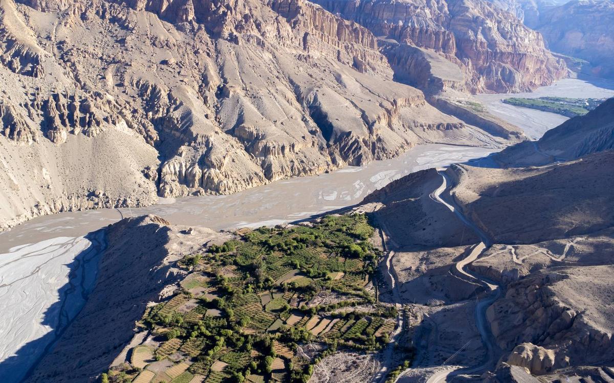
The Trishuli River starts in Tibet, crosses into Nepal at Rasuwagadhi and runs south through Rasuwa and Nuwakot to Galchhi. From there it follows the Prithvi Highway through Dhading to Mugling, then turns south to Devghat in Chitwan, where it meets the Kali Gandaki and the joined river takes the name Narayani.
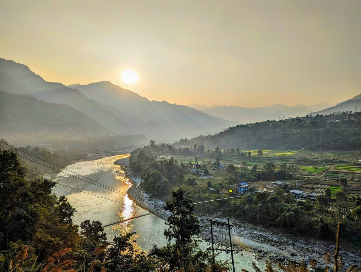
Most of the water comes from the north. An IFC study of the basin says the river "originates in the Trans-Himalayan Zone within the Tibet Autonomous Region", where its headstreams, the Gyirong (Kyirong) Tsangpo and the Lende Khola, meet near Rasuwagadhi. A 1993 hydrology paper found that more than 60% of the Trishuli's drainage basin lies in Tibet.
If you are tracing the Trishuli River on a map of Nepal, follow its towns from north to south.
| Point on the river | Area | What happens there |
|---|---|---|
| Rasuwagadhi | Rasuwa | Enters Nepal at about 2,600 m (IFC). Here it is called the Bhote Koshi. |
| Syabrubesi | Rasuwa | The Langtang Khola joins. |
| Near Dhunche | Rasuwa | The stream from Gosaikunda joins; from here it is the Trishuli. |
| Betrawati | Upper river | Gauging point for the catchment figure; badly damaged in 2026. |
| Trishuli Bazaar, Bidur | Nuwakot | The old Trishuli Hydropower Station; the Tadi Khola joins nearby. |
| Galchhi | Dhading | The Prithvi Highway meets the river; the Pasang Lhamu Highway branches north to Rasuwa. |
| Benighat | Dhading | The Budhi Gandaki joins, on the Dhading and Gorkha border. |
| Mugling | Chitwan | The Marsyangdi joins; the Prithvi Highway turns west for Pokhara. |
| Below Mugling | Towards Chitwan | The Seti Gandaki joins; the road to Narayanghat follows the river. |
| Devghat | Chitwan, Tanahun, Nawalparasi East | The Kali Gandaki joins and the river becomes the Narayani. |
Two things catch people out. The Devighat hydropower plant and bridge are in Nuwakot, near Bidur, nowhere near Devghat, the holy confluence in Chitwan. And there is no single agreed length; see the FAQ below.
Trishuli or Trisuli: where does the name come from?
Both spellings are right and both are in official use: NTB uses both, in its rafting brochure and on its website. NTB says the river "was named after the ever-present 'Trident' of Lord Shiva, a popular God of the Hindus", the trishul.
The story goes further. In the legend NTB tells of Gosaikunda, the sacred lake at 4,380 m (14,370 ft) in Langtang National Park, Shiva "plunged his trident into the mountain rocks from where gushed three springs of icy cold water", which formed the lake. That is legend, and it is why many Nepalis say the Trishuli begins at Gosaikunda. In the Nepali naming that holds: the river becomes the Trishuli where the Gosaikunda stream joins. Physically, most of its water comes from Tibet.
The upper river's other name matters in 2026. Above Dhunche it is officially the Bhote Koshi, so reports of the "Bhotekoshi flood" are about this river in Rasuwa. A different Bhote Koshi, about 65 km east in Sindhupalchok, carries the bungee jump and much of the rafting near Sukute. That river was not hit by the 2026 flood.
What happened on the Trishuli in the 2026 flood?
On 26 August 2026 an ice-rock avalanche near the Tibet border turned into a debris flow that ran down the Trishuli. More than 1,450 people died in Nepal and more than 5,000 were still missing when the search was called off (figures from Nepal's National Disaster Risk Reduction and Management Authority, NDRRMA, October 2026).
The National Society for Earthquake Technology (NSET) traces the avalanche to a north-facing slope near the Lende River, about 20 km upstream of Rasuwagadhi. NDRRMA linked it to the northern slopes of Langtang Lirung.
The search for survivors was stopped after 40 days. Bodies were recovered along the river as far down as Nawalparasi, and in India (The Kathmandu Post). Foreign visitors were among the missing. A Kathmandu Post reporter who went back to Rasuwa after the flood wrote, on 6 September, that Betrawati Bazar had "turned into a field of debris".
A year earlier, on 8 July 2025, an outburst from a glacial lake in Tibet came down at Rasuwagadhi.
"The flood also swept away the Friendship Bridge, which connected Nepal with Tibet."
The Kathmandu Post, 11 July 2025
For visitors now: the lower river, where the rafting is, reopened in October, but the upper valley is still being rebuilt. The Galchhi to Betrawati road had reopened on a new track by 1 October 2026, and the road north of Betrawati was still under repair in October. If you are thinking of Gosaikunda or Langtang, ask us about the road before you plan.
What is rafting on the Trishuli like?
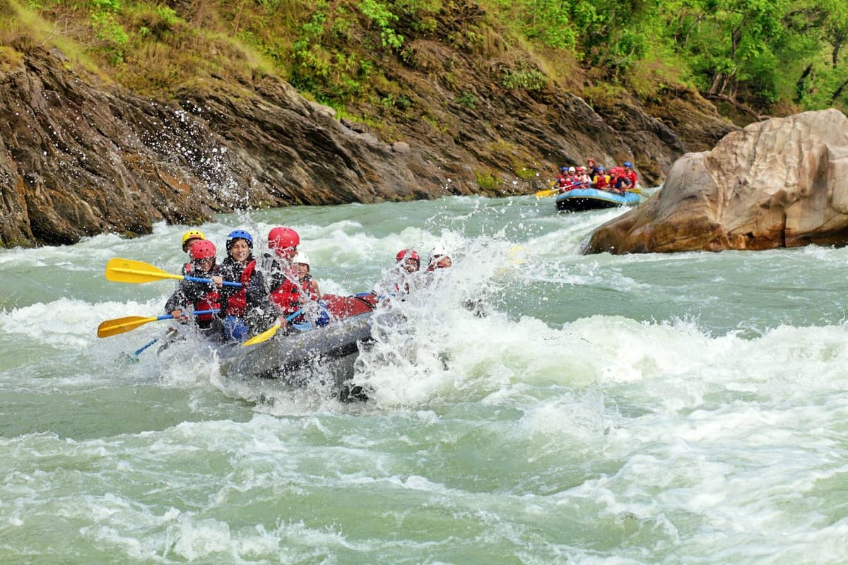
Trishuli rafting is rolling, fairly forgiving whitewater with calmer sections between rapids, run from the riverbank below the Prithvi Highway. NTB calls it ideal for novices as well as the experienced. Most trips last one or two days, and the classic put-in is Charaudi, in Dhading.
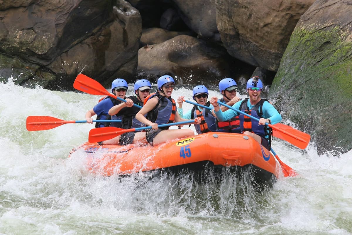
The reason for its popularity is plain geography, as NTB puts it:
"Given its easy access from Kathmandu and Pokhara, this river is also Nepal's most popular for whitewater rafting."
Nepal Tourism Board, Rafting in Nepal brochure, 2009
An IFC basin study (2020), drawing on the rafting association, put the number of tourists rafting the Trishuli at 15,000 to 20,000 a year.
Sections, put-ins and take-outs
One operator, WhiteWater Nepal, lists trips of 15 to 60 km over one to three days. Published routes include:
- One day: Charaudi to Fisling (Paddle Nepal spells it "Fishling"), or Charaudi to Kuringhat.
- Two days: NTB's sample trip starts at Charaudi, camps at Kuringhat, "a very popular weekend getaway", and ends at a place called Tea Pot, below the Marsyangdi confluence.
Do not confuse NTB's Kuringhat camp with Kurintar, the cable car town; we found no source linking them.
How hard are the rapids?
NTB's brochure describes "a number of Class I to Class III rapids" on the first day from Charaudi, with the fiercest and most frequent in the narrow Trishuli gorge. Operators grade it higher: Paddle Nepal calls it III to III+, and WhiteWater Nepal grades it from 4- in the low-water months to 4+ in the monsoon.
The brochure names rapids such as Snail's Nose, Malekhu, Ladies Delight, Highway, Upset, Surprise, S-Bend, Pinball and Jhoolunge Pul. After the rafting association's inspection in October 2026, OnlineKhabar reported that some new rapids had formed and some old channels had changed, so the river may not match that list now.
Beaches, camps and the water
NTB has lunch on a beach "with strange shaped boulders that resemble sculptures", and two-day trips camp in tents on the bank. There are riverside resorts along the highway too; we do not recommend any here. The water is rarely clear: the IFC study counted more than 500 sand and sediment mining businesses in Nuwakot and Dhading and named mining as a significant cause of the river's high turbidity. The same study lists the endangered golden mahseer among the river's fish.
Is the Trishuli open for rafting after the flood?
Yes, with a caveat. The Nepal Association of Rafting Agencies (NARA) inspected the river and declared the Galchhi to Mugling stretch fit to raft on 6 October 2026, noting that new rapids had formed. At least one established operator was still holding off on 2 November because of hidden debris. We found no government notice either way.
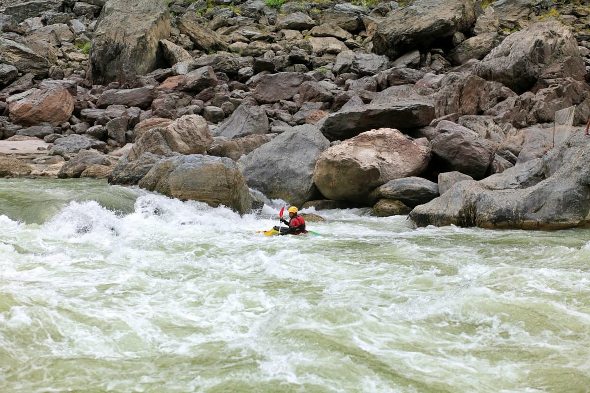
NARA's president told OnlineKhabar that from Galchhi to Mugling "the river's channel has not changed much, so you can raft without worry" (our translation from Nepali). That is the trade body's view after its own inspection, not a government safety finding.
Paddle Nepal, on 2 November 2026, listed its Trishuli trips as on hold and said it was not yet ready to resume commercial trips there, warning that floods can leave submerged vehicles, building materials and damaged structures under the surface.
Both are true at once. Ask us for the current status before you fix a date, and see our Trishuli rafting day trip for how we run it.
How safe is rafting on the Trishuli, and who is it for?
NTB calls the Trishuli ideal for novices, and at normal autumn and spring levels its rapids are moderate. Safety comes down to a licensed company, proper kit, the water level on the day and, in 2026, debris left by the flood. It suits active beginners better than people looking for hard whitewater.
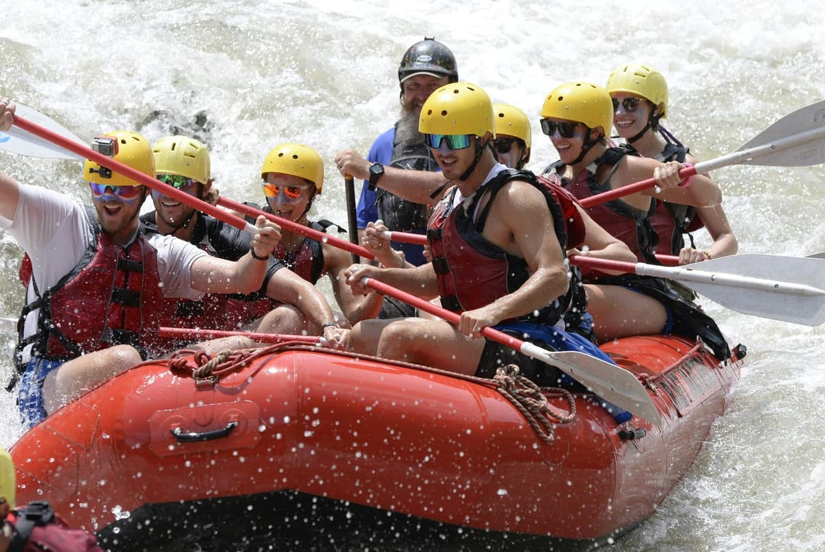
NTB is clear: "All rafters must go through a registered rafting agency." Nepal's Rafting Rules of 2006 (as reproduced by Nepal Archives; we could not open the official text) say a rafting business needs a government licence and must provide safety gear such as life jackets and helmets. In February 2023 the Department of Tourism also told adventure businesses, rafting included, to register and run with a licence.
For beginners:
- Keep the life jacket and helmet on throughout. NTB says safety precautions "are to be taken seriously such as wearing a lifejacket and helmet".
- Listen to the safety talk at the put-in. NTB's sample trip starts with one, plus a lesson on using the paddles.
- Tell us if you cannot swim, so the crew knows before you get in.
- Swim only where the crew says it is safe. After the flood, debris may lie under calm-looking water, and the water is often murky.
- Think about the season. High water in the monsoon, early autumn and late spring makes the river bigger and pushier.
Wear clothes that can get soaked and shoes or sandals that strap on firmly, and bring sun cream, a strap for glasses and a full dry change of clothes. NTB notes the water is cold in winter, so a warm layer for the drive back helps. Leave phones in the vehicle unless you have a dry bag.
Which months suit Trishuli rafting?
NTB names September to early December and March to early June as Nepal's rafting seasons, with October one of the most popular months. The Trishuli is one of the few rivers NTB says can usually be run in the monsoon. Our own trips avoid the peak monsoon, and the 2026 flood changed the river.
"Although most rivers are unsuitable for rafting during certain seasons, the Trishuli is open to keen rafters even during peak monsoon."
Nepal Tourism Board, Rafting in Nepal brochure, 2009
That line was written long before 2026. Paddle Nepal runs the Trishuli all year and calls July and August "extreme high volume". We found no official seasonal ban; avoiding the monsoon on our trips is our own choice.
| Season | Months | Water | Rafting | Road beside the river |
|---|---|---|---|---|
| Autumn | September to November | Very high in September and early October (NTB), then falling | Main season; October one of the most popular months | In 2026, flood damage was still being repaired; dry landslides at Ghoptebhir in November |
| Winter | December to February | Lower; cold water (NTB) | Shorter days, shorter trips (NTB); the IFC study called October to February the peak | Dry; landslides less likely, not impossible |
| Spring | March to early June | Very high again by May and June (NTB) | Second main season | Pre-monsoon storms in late spring |
| Monsoon | June to September | NTB: the monsoon floods most rivers | Usually runnable (NTB); our own trips avoid it | Landslides and riverbank erosion most likely |
What is the Prithvi Highway like beside the river?
From Galchhi to Mugling the Prithvi Highway runs 64 km mostly along the Trishuli's bank. It is a busy road, about 14,000 vehicles a day according to Ratopati in September 2026, with a long record of landslides and crashes. Travel by day, expect slow sections, and check the road before you set off.
The 2026 flood ate into it. At Krishnabhir, about 25 km from Mugling, the road subsided on 30 August 2026; traffic resumed in mid-September on a new track.
Buses have gone into the river. On 23 February 2026, at about 01:30, a bus from Pokhara to Kathmandu left the road at Bhaisigauda in Benighat Rorang and fell about 200 metres into the Trishuli; The Himalayan Times reported 19 dead. The Simaltal disaster of 12 July 2024, when a landslide swept two buses carrying more than 60 people into the Trishuli, happened on the Narayanghat to Mugling road below Mugling, not on the Prithvi Highway.
The current problem spot is Ghoptebhir, in Ichchhakamana Rural Municipality, Chitwan, about 3 km on the Kathmandu side of Mugling, where dry landslides from 8 November 2026 have kept traffic one-way since 10 November.
"The landslide is massive, and workers have also gone on leave, making it difficult to restore two-way traffic."
Police Inspector Anil Thapa, District Traffic Police Office Chitwan, in OnlineKhabar English, 12 November 2026
Ghoptebhir is beyond the Charaudi put-in, so a rafting day from Kathmandu does not pass it; trips going on to Mugling, Chitwan or Pokhara do. Our articles on the drives from Kathmandu to Pokhara and Kathmandu to Chitwan cover the whole road.
Which hydropower plants are on the Trishuli?
The Trishuli basin holds a string of hydropower plants, from the 24 MW Trishuli station at Trishuli Bazaar, dating from 1967, to the 216 MW Upper Trishuli-1 project in Rasuwa. Several were hit by the 2025 and 2026 floods, and we could not confirm which are running now.
| Plant | Capacity | Where | Notes |
|---|---|---|---|
| Trishuli Hydropower Station | 24 MW | Trishuli Bazaar, Nuwakot | In operation since 1967, built with an Indian grant (The Himalayan Times, 2023) |
| Devighat | 14.1 MW | Nuwakot | Not at Devghat, the confluence in Chitwan |
| Upper Trishuli 3A | 60 MW | Nuwakot and Rasuwa border | Run by the Nepal Electricity Authority; full capacity from November 2019 |
| Upper Trishuli-1 | 216 MW | Rasuwa | Not complete when the flood hit; dam just below the Langtang Khola confluence (IFC) |
| Rasuwagadhi | 111 MW | Rasuwa | Named among the flood-affected projects in August 2026 |
| Super Trishuli (planned, 2024 report) | 100 MW | Gorkha and Chitwan | The rafting association raised fears for rafting firms (2024) |
After the 2025 flood, The Kathmandu Post reported that "several hydropower projects constructed on the Trishuli river suffered severe damage", and after the 2026 flood Reuters reported workers missing at Upper Trishuli 3A, where rescuers were working through its tunnel.
Where can you stop along the Trishuli?
The easy stops are on the Prithvi Highway: Benighat for the Budhi Gandaki confluence, Kurintar and Cheres for the Manakamana cable car base, and Mugling at the Marsyangdi confluence. Further down, Devghat is a Hindu pilgrimage site where the Trishuli meets the Kali Gandaki.
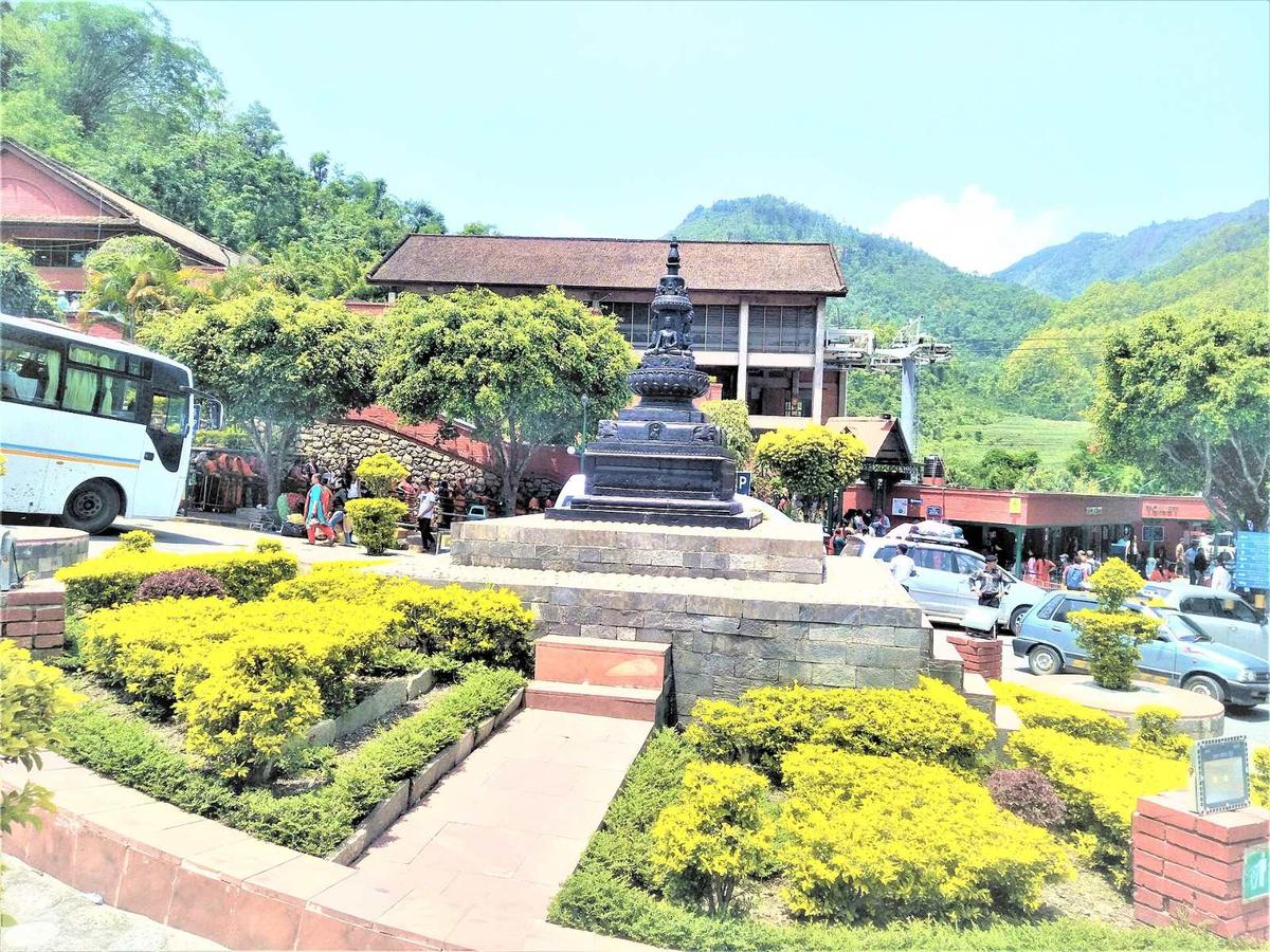
- Benighat. NTB notes that the Budhi Gandaki confluence "is visible from the highway".
- Kurintar and Cheres. The Manakamana cable car's lower station is at Cheres, Ichchhakamana-4, Chitwan, right beside the river. On 27 September 2026 a road inside its entrance area subsided after rain and strong Trishuli currents, and The Himalayan Times reported the service suspended. By early October the operator was announcing a routine one-day maintenance closure for 6 October (OnlineKhabar English), so check the day before you go. Our Manakamana Temple guide has the details.
- Mugling. The town where the Marsyangdi joins, and the junction where the Prithvi Highway turns west for Pokhara and the road south leads to Narayanghat. The Kathmandu Post has called it a "highway pitstop" (2019).
- Devghat. NTB places it "at the holy confluence" of the Kali Gandaki and the Trishuli, about 5 km north-west of Narayanghat. It fills up on Maghe Sankranti (1 Magh, mid-January), and the Chakreshwar Temple stands there.
How do you get to the Trishuli from Kathmandu?
By road. NTB's rafting brochure puts the drive from Kathmandu to the Charaudi put-in at about 2½ hours; operators today say 3 to 3½ hours. Allow more with traffic, especially leaving Kathmandu. The same highway carries buses to Pokhara and Chitwan.
The road climbs out of the Kathmandu Valley and comes down to the river at Galchhi. The Naubise to Mugling section of the Prithvi Highway is 94.66 km (The Kathmandu Post, September 2026). The full drive to Pokhara is most of a day, often six to nine hours.
Most people raft the Trishuli as a day trip from Kathmandu or as a stop on the way to Chitwan or Pokhara. For more ideas, see our Kathmandu day trips, and for other rivers, our rafting and kayaking trips. The rafting company handles the arrangements on the river.
Frequently asked questions
Where is the Trishuli River?
The Trishuli River is in central Nepal, north-west of Kathmandu. It enters from Tibet at Rasuwagadhi, flows south through Rasuwa and Nuwakot, follows the Prithvi Highway through Dhading from Galchhi to Mugling, then runs south to Devghat in Chitwan, where it meets the Kali Gandaki and becomes the Narayani. The rafting stretch is the part beside the highway.
Is Trishuli rafting safe for beginners?
At normal autumn and spring levels, yes, for active beginners: NTB describes class I to III rapids and calls the river ideal for novices as well as the experienced. Go only with a registered rafting company, keep the life jacket and helmet on throughout, and say if you cannot swim. In 2026, also ask about debris left by the August flood.
When is the best time to raft the Trishuli?
October and November, and March to early June, give the most comfortable conditions. NTB names September to early December and March to early June as Nepal's rafting seasons, with very high water in September, early October and May to June. Winter works, with shorter days and cold water. The Trishuli can usually be run in the monsoon, but our own trips avoid it.
How far is the Trishuli from Kathmandu?
The usual put-in at Charaudi is about 2½ hours by road according to NTB, and 3 to 3½ hours according to rafting operators today, more with traffic. You reach the river at Galchhi, and from there the Prithvi Highway runs beside it for 64 km to Mugling. Rafting there and back is a long but realistic day trip.
Can you raft the Trishuli after the 2026 flood?
Yes. The rafting association NARA declared the Galchhi to Mugling stretch fit to raft on 6 October 2026, after inspecting it, and said some new rapids had formed. At least one established operator still had trips on hold on 2 November because of hidden debris, and there is no government notice either way. Ask us for the current status before you book.
How long is the Trishuli River?
There is no single agreed figure. An IFC study of the basin gives about 106 km for the river inside Nepal in one chapter and 130 km in its summary, and we found no official government length. A 1993 hydrology paper gives its catchment as 4,640 km² at the Betrawati gauge and says more than 60% of its basin lies in Tibet.
Plan your visit with us
If you want to raft the Trishuli, stop beside it on the way to Chitwan or Pokhara, or just know whether the road is clear on your travel day, ask us on WhatsApp or through the enquiry form and we will tell you what we know that week. For more short escapes from the city, see our guide to hill stations in Nepal.