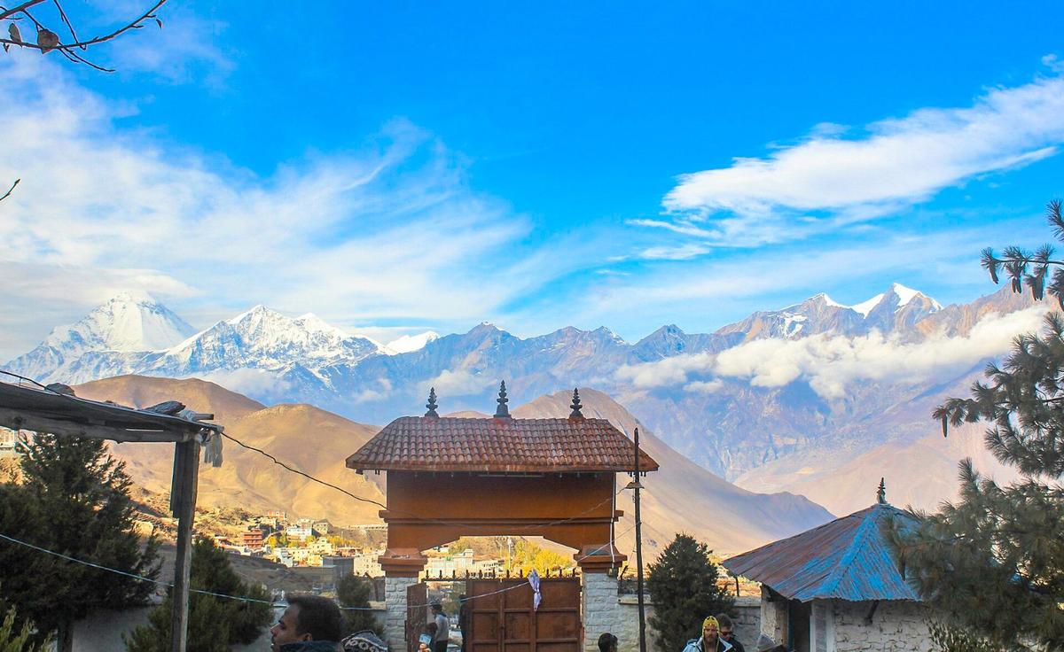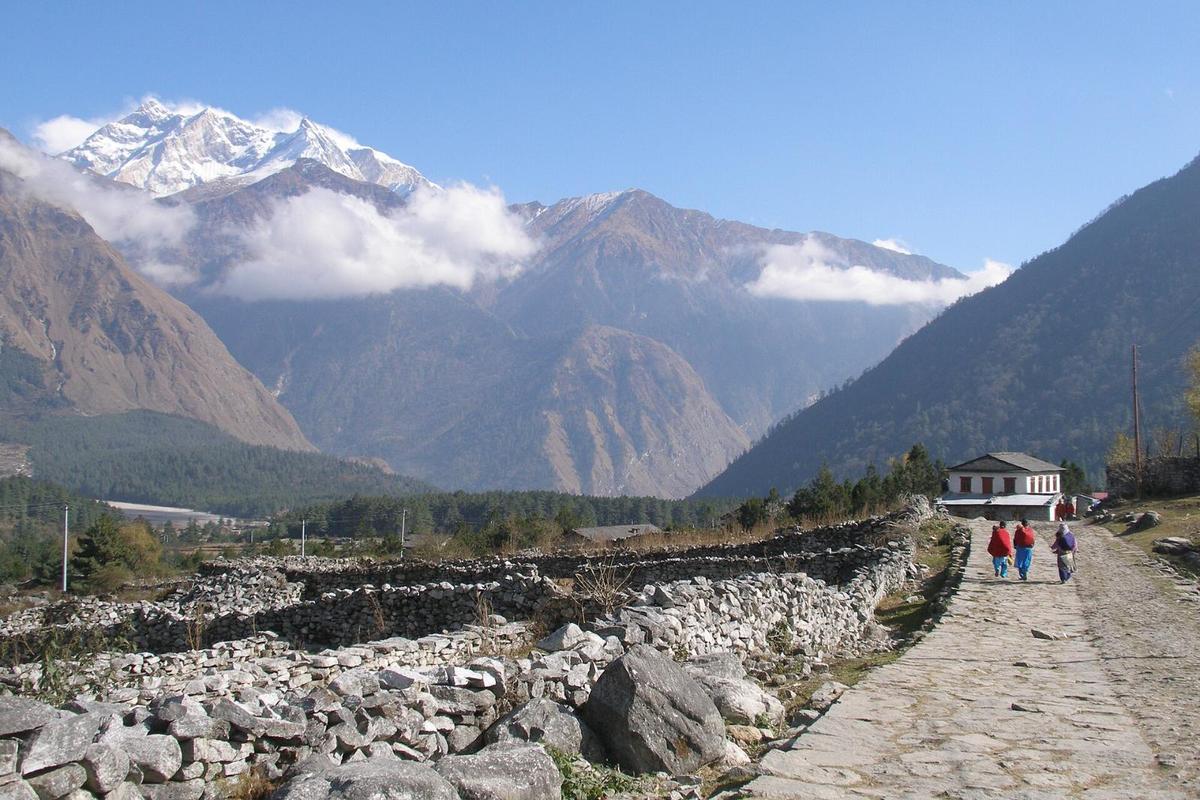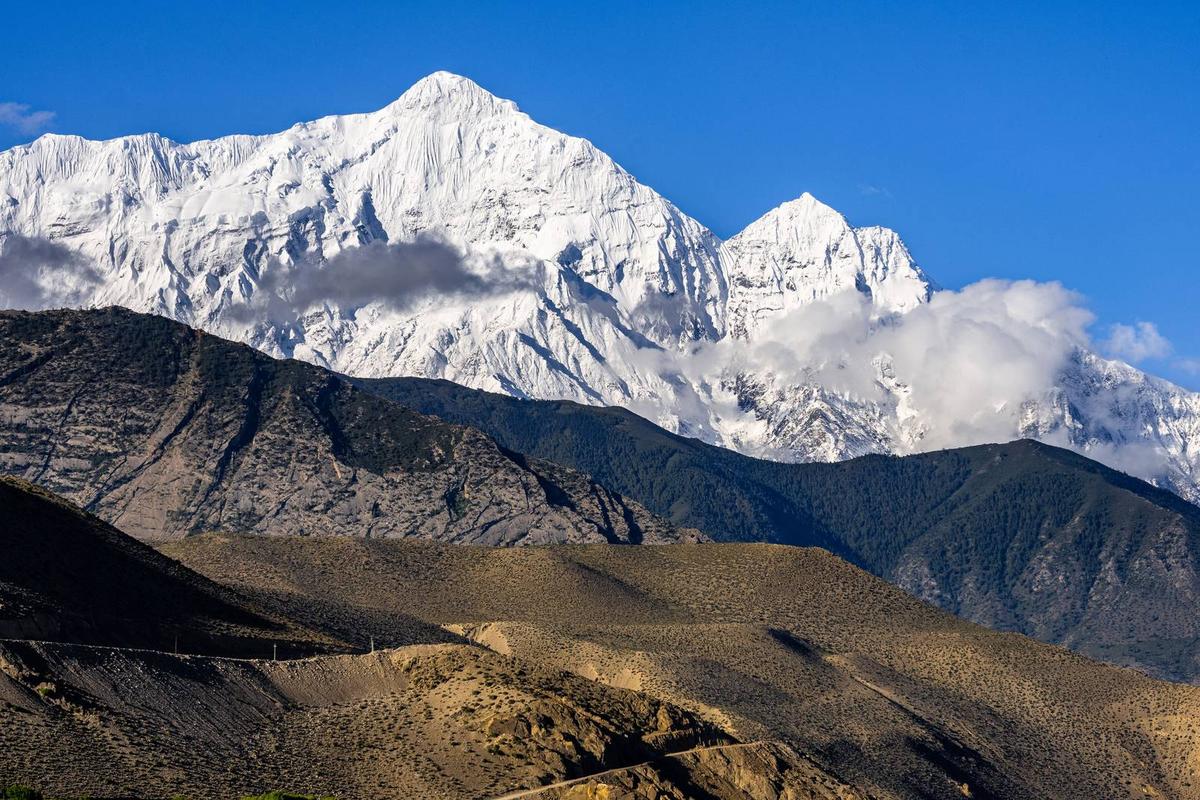
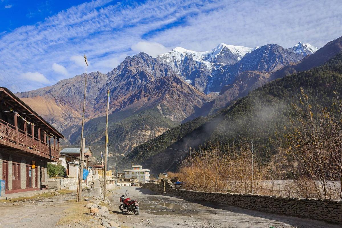
Leave Pokhara in the morning and the road meets the Kali Gandaki river at Kushma, then follows it north. By Jomsom the hills have turned dry and stony, and from late morning a hard wind blows up the valley.
By Uncover Nepal Guide · Checked by our Kathmandu travel team · Updated 15 Nov 2026
Pokhara to Mustang is a road trip for now. Operators quote about 7 to 10 hours by jeep or bus to Jomsom, and buses for Mustang leave from Beni. Regular Pokhara to Jomsom flights have been suspended since October 2026. Kagbeni and Muktinath need only the ACAP (Annapurna Conservation Area Project) permit; Lo Manthang also needs the Upper Mustang restricted-area permit.
For how the two halves of the district differ, start with our guide to Upper and Lower Mustang.
In this guide
- Pokhara to Mustang, stage by stage
- Is the road to Mustang open?
- By road: bus, jeep or your own vehicle
- Is the Pokhara to Jomsom flight running?
- Helicopter to Mustang: market prices, not ours
- Permits you need along the way
- Where to sleep for the altitude
- Frequently asked questions
- Plan your trip with us
Key facts
- Pokhara to Jomsom by road
- About 7 to 10 hours, operators quote; open, one lane at a time in places (operators; Gorkhapatra, 3 November 2026; checked 16 November 2026)
- Flights
- Regular Pokhara to Jomsom flights suspended from 19 and 21 October 2026; charters continue (Himal Press, 19 October 2026; Bizness News, 20 October 2026; checked 16 November 2026)
- ACAP permit
- NPR 3,000 foreign, NPR 1,000 SAARC (including Indians), free under 10, double at check posts (NTB park entry fees page; NTNC e-permit portal; checked 16 November 2026)
- Upper Mustang permit
- USD 50 per person per day inside the zone, which starts north of Kagbeni (NTB trekking permit page; checked 16 November 2026)
- Heights
- Pokhara about 820 m, Jomsom about 2,740 m, Kagbeni about 2,800 m, Muktinath about 3,800 m, Lo Manthang about 3,800 m (Muktinath: NTB; Lo Manthang: UNESCO Tentative List, 2008; others rounded from published figures; checked 16 November 2026)
Pokhara to Mustang, stage by stage
The route follows one river. Take the Pokhara to Baglung highway to the Maldhunga turn-off, then the Beni to Jomsom road up the Kali Gandaki. At Kagbeni one branch climbs to Muktinath and the other runs north to Lo Manthang.
Pokhara to Lo Manthang by road: sourced distances and times only
| Stage | Distance | Time | Notes |
|---|---|---|---|
| Pokhara to Beni | No single official figure | About 3 hours (NTB) | Paved, via Kushma. Buses to Mustang leave from Beni. |
| Beni to Ghasa | Part of the 76 km to Jomsom | No published figure | Rough. Damaged stretches on the Beni to Jomsom road run one lane at a time. ACAP check post at Ghasa. |
| Ghasa to Jomsom | The rest of the 76 km | No published figure | Through Lete, Kalopani, Tukuche and Marpha. |
| Jomsom to Kagbeni | 13 km | About two hours on foot (NTB) | ACAP only. |
| Kagbeni to Muktinath | 12 km, paved | Three to four hours on foot (NTB) | ACAP only. |
| Kagbeni to Lo Manthang | No reliable figure | A long day by jeep from Jomsom | Restricted-area permit from Chhusang, north of Kagbeni. |
For Pokhara to Muktinath, operators quote about 170 to 195 km; we found no official figure.
Is the road to Mustang open?
Yes, by the latest reports we found. Gorkhapatra reported on 3 November 2026 that traffic was running on the Beni to Jomsom road, one lane at a time on damaged stretches, while repairs aim to restore two-way traffic. North of Jomsom, the road towards Lo Manthang had reopened by 31 October (Nepal News).
By road: bus, jeep or your own vehicle
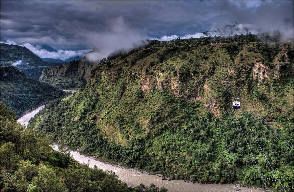
From Pokhara the highway runs out through Phedi and Nayapul in Kaski to Kushma in Parbat district, where it meets the Kali Gandaki gorge. From the Maldhunga turn-off it is about 13 km to Beni (Kantipur, December 2025).
Pokhara to Beni
"Beni is a 3 hour drive from Pokhara."
Nepal Tourism Board, Beni page, checked 16 November 2026
The road is paved, though The Kathmandu Post reported potholes in November 2025. NTB calls Beni, where the Myagdi river meets the Kali Gandaki, "the gateway to Mustang".
Beni to Jomsom via Ghasa
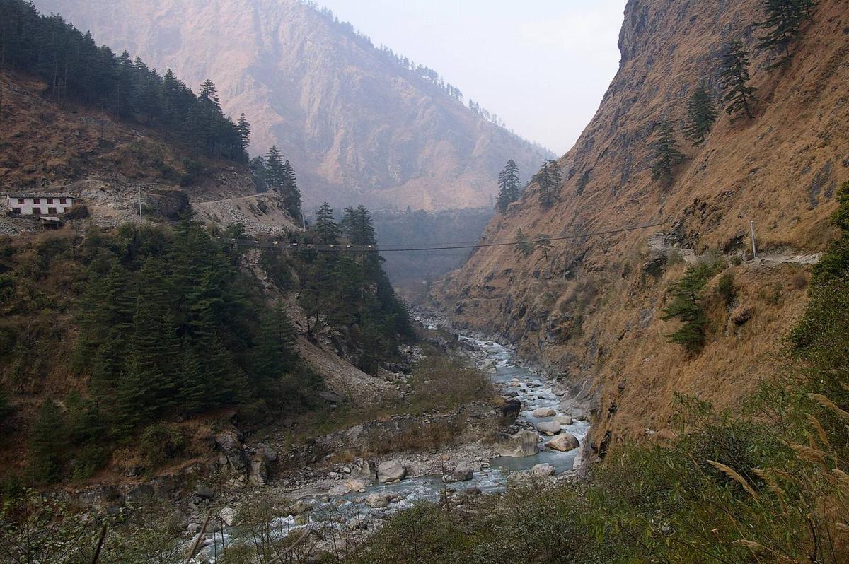
From Beni it is 76 km to Jomsom (Khabarhub, May 2026), and this is the slow part: rough road (Meroauto, December 2025) through Tatopani, Ghasa, Lete, Kalopani, Tukuche and Marpha to Jomsom, the district headquarters.
Take a bus to Beni and change there, since buses for Mustang leave from Beni (NTB), or a through jeep from Pokhara. We found no dated, published fare for these legs, so we won't print one; ask us.
Jomsom to Kagbeni and Muktinath
From Jomsom the road runs 13 km to Kagbeni (OnlineKhabar, 2024), then a paved 12 km climbs to Muktinath (Khabarhub, January 2026). In winter, snow can shut that top section: it closed from 27 to 30 January 2026. Our Jomsom to Muktinath guide has more.
Kagbeni to Lo Manthang
North of Kagbeni the Jomsom to Korala road enters the restricted area at Chhusang. Lo Manthang is a long day by jeep from Jomsom. See our Upper Mustang guide for the permit and season, and our Lo Manthang guide for the town.
Driving yourself
An Indian-registered car or motorbike needs a Nepal customs pass (bhansar) for the days you stay (Embassy of India, Kathmandu). Fill up at Beni: Meroauto calls it "the last reliable fuel station" on the way. Other nationalities: we found no official self-drive rules, so ask us.
Is the Pokhara to Jomsom flight running?
Not on a regular schedule. Tara Air suspended its Pokhara to Jomsom flights from 19 October 2026 "until further notice", and Summit Air from 21 October "until the next season" (Himal Press; Bizness News). Charter flights continue. We found no report of regular flights restarting up to 16 November 2026.
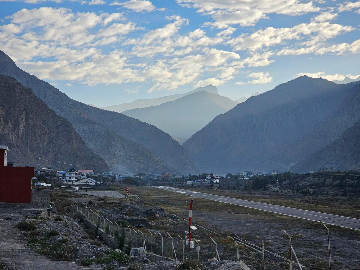
When it runs, the flight takes about 20 minutes, mornings only: NTB says the strong up-valley wind stops flights later in the day, and the Civil Aviation Authority of Nepal (CAAN) lists Jomsom's winter hours as 06:30 to 12:15 (16 November to 15 February).
Winter breaks are normal: last winter Tara Air planned a break from 4 December to 1 March and Summit Air from 1 December to 1 February, and both restarted later than planned (Khabarhub, 10 March 2026). Some official tourism pages still describe daily flights; don't rely on them. Even in season, a flight only reaches Jomsom. This is information only; we don't sell flight tickets. Our Pokhara to Jomsom guide compares the flight and the drive.
Helicopter to Mustang: market prices, not ours
As a market range, not ours: operators quoted about USD 3,000 to 3,800 to charter a helicopter from Pokhara to Muktinath for up to five people, about USD 650 to 750 for a shared trip, and about USD 4,500 to 5,500 from Kathmandu (operator quotes, May and September 2026).
The Rising Nepal reported on 4 October 2026 that tourists arriving by helicopter to visit religious sites in Mustang must be accompanied by at least one security agency representative. You also jump from about 820 m to about 3,800 m in one flight. Ask us about helicopter trips.
Permits you need along the way
Mustang lies inside the Annapurna Conservation Area, so you need the ACAP permit. North of Kagbeni you also need the restricted-area permit.
ACAP permit. It costs NPR 3,000 for foreign nationals and NPR 1,000 for SAARC nationals, including Indians; children under 10 need none (NTB; NTNC e-permit portal). It is single entry. Get it at the Tourist Service Center, Bhrikutimandap, in Kathmandu, the ACAP permit counter in Pokhara, or online through the NTNC e-permit portal. There are check posts at Ghasa, Jomsom, Kagbeni and Muktinath, but the portal warns: "Double fees will be charged for permits issued at Check-Posts." We arrange the ACAP permit on our trips.
Upper Mustang restricted-area permit. NTB says of Kagbeni:
"This is the furthest trekkers are allowed to go towards Upper Mustang without a special permit ..."
Nepal Tourism Board, Jomsom-Muktinath page, checked 16 November 2026
For the restricted area, which begins at Chhusang and includes Lo Manthang, NTB lists the permit at "USD 50 or equivalent convertible currency / per person / Day" for the days inside the zone, with no SAARC rate. It replaced the old USD 500 for 10 days (The Kathmandu Post, 20 November 2025). It is issued only through a registered agency, and a licensed guide must go with you; since 22 March 2026 solo travellers can be issued one on the same terms (The Himalayan Times, 23 March 2026).
ID and visa, information only. For Indians, NTB accepts a passport or Election Commission voter ID, not Aadhaar. Others arrange their own visa (see NTB's tourist visa page).
Where to sleep for the altitude
Sleep low on your first night up the valley. Jomsom (about 2,740 m) and Kagbeni (about 2,800 m) make sensible first nights, and Marpha is a little lower, at about 2,600 m. All three are above about 2,450 m (8,000 ft), where the US CDC says altitude illness can affect anyone.
Muktinath is about 3,800 m, according to NTB, so visit it as a day trip and sleep back down in Jomsom. Lo Manthang is also about 3,800 m, and reaching it by jeep from Jomsom means a sleeping-height gain of about 1,000 m in one day, more than the usual advice. Nights are cold: Jomsom averages a low of 1.5 °C in November and minus 1.2 °C in December (Department of Hydrology and Meteorology, 1991 to 2020).
- Go up slowly. Above 3,000 m, gain no more than about 500 m of sleeping height a night, with a rest day every three to four days.
- Walk slowly: bistarai, bistarai, Nepali for "slowly, slowly".
- Drink water, and avoid alcohol in the first days up high.
- Know the symptoms: headache, nausea, tiredness and poor sleep.
- Never go higher with symptoms. If they get worse, go down.
- Ask your doctor before the trip about preventive medicine such as acetazolamide.
- Garlic soup is a comforting local tradition that helps you drink more, not a proven cure.
- Confusion, breathlessness at rest or unsteady walking are severe signs: descend at once and get medical help. Our team arranges a rescue if needed.
More on each in our guide to how to avoid altitude sickness.
Frequently asked questions
What is the safest way from Pokhara to Upper Mustang: jeep or flight?
No one publishes a safety comparison, so we won't rank them. This season the road is the only regular option: Pokhara to Jomsom flights are suspended, and even in season a flight stops at Jomsom. The Beni to Jomsom road is open, one lane at a time on damaged stretches (Gorkhapatra, 3 November 2026).
Can I go to Kagbeni without the Upper Mustang permit?
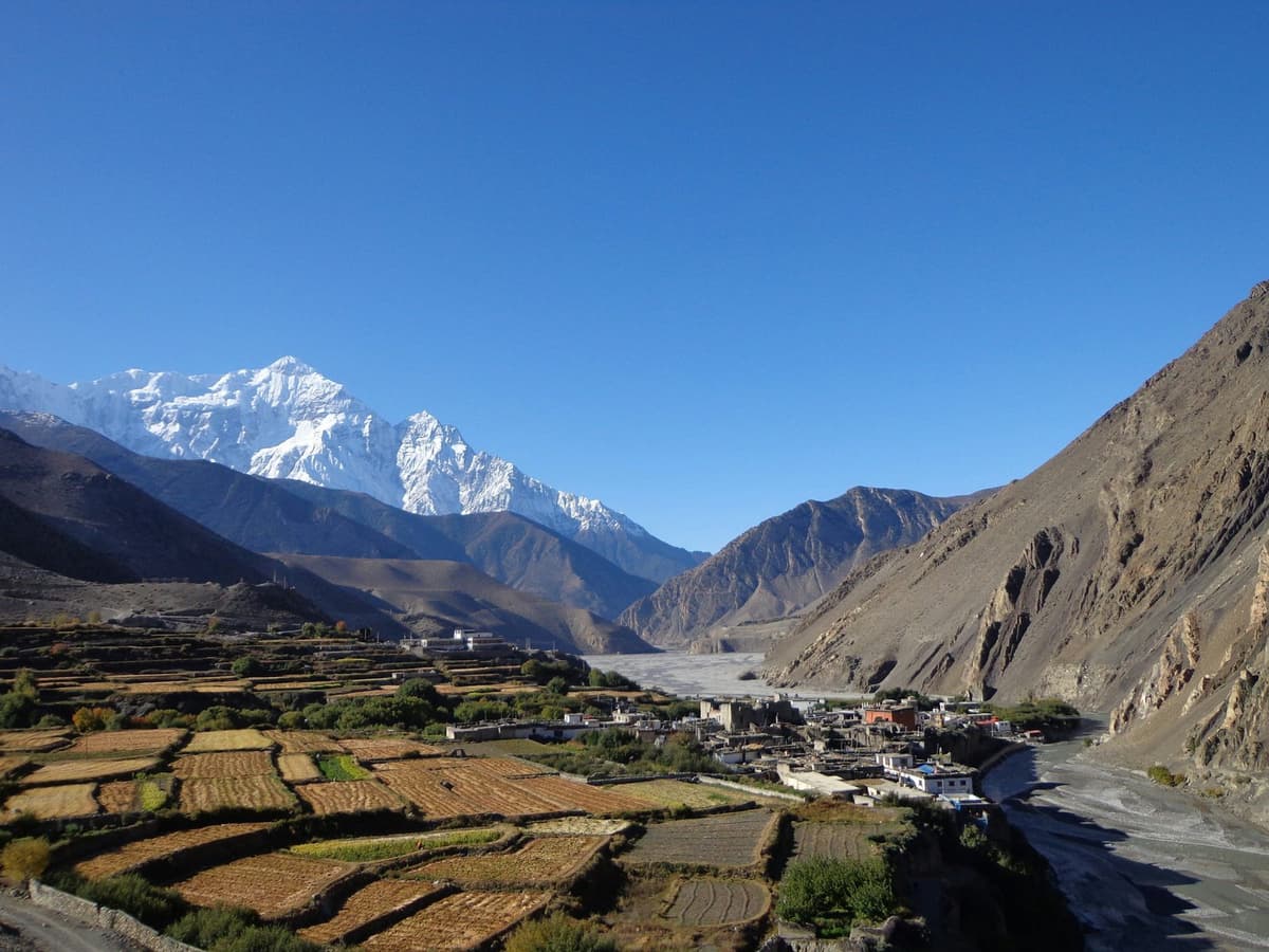
Yes. Kagbeni needs only the ACAP permit, and so does Muktinath, up the side road from it. The Nepal Tourism Board describes Kagbeni as the furthest trekkers may go towards Upper Mustang without a special permit. The restricted area, and the Upper Mustang permit, begin north of the village at Chhusang.
Is Upper Mustang good for stargazing and photography?
We know of no published dark-sky measurement for Upper Mustang, so we won't rate it. The records do show how dry the valley is: the Jomsom weather station, in Lower Mustang, averages 292.4 mm of rain a year, against 3,868 mm in Pokhara (DHM, 1991 to 2020). Nights are cold. The strong valley wind blows in the afternoon, so mornings are calmer.
What does the Upper Mustang restricted-area permit cost now?
USD 50 per person per day for the days you spend inside the restricted area, according to the Nepal Tourism Board, checked 16 November 2026. It replaced the old USD 500 for 10 days (The Kathmandu Post, November 2025). NTB lists no SAARC rate. It is issued only through a registered agency, with a licensed guide.
Should I trek Upper Mustang or do it as a jeep tour?
Choose by days and how you handle height. A jeep from Jomsom reaches Lo Manthang in a long day, a sleeping-height gain of about 1,000 m, against the usual advice of about 500 m a night above 3,000 m. Walking spreads the climb over more days, but each day inside the zone adds USD 50 to the permit. A licensed guide is required either way.
Plan your trip with us
Still choosing between Lower and Upper Mustang? Our Mustang guide compares them. Our trips on this road:
- Mustang and Pokhara tour by road: four days from Kathmandu, two nights in Jomsom, Muktinath as a day trip.
- Mustang tour by flight and road: five days, flying between Kathmandu and Pokhara, with the Jomsom leg by road.
- Upper Mustang tour by road: seven days. Sleeping height rises about 1,000 m in one day from Jomsom to Lo Manthang, so talk to your doctor first.
Not sure which fits, or want road news for your dates? Ask us on WhatsApp or through the enquiry form.