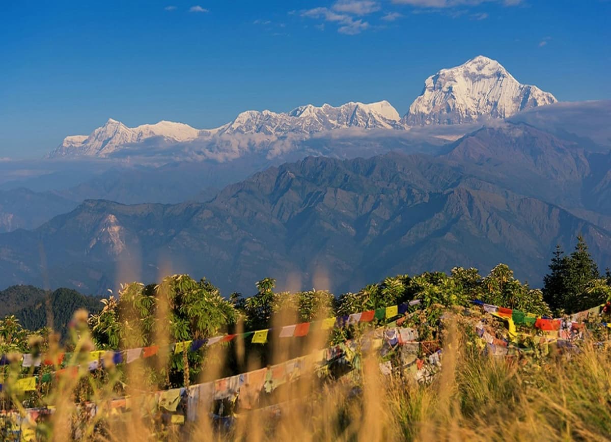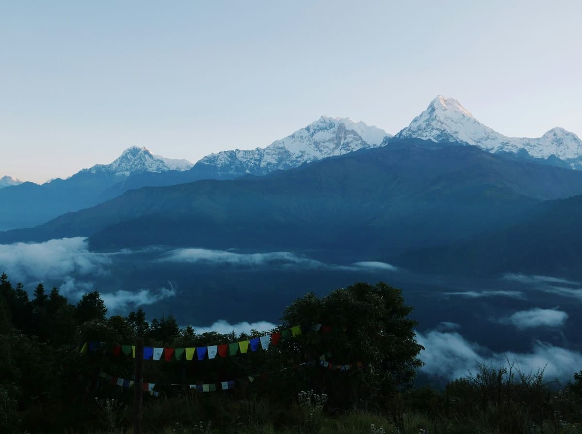
Above Namche Bazaar the trail forks. One path drops through forest to the river and climbs again to Tengboche; the other follows a high ridge towards Mong La and the Gokyo valley. Prayer flags crack in the wind, yak bells carry up from below, and this is where you find out which trek you really booked.
By Uncover Nepal Team · Checked by our Kathmandu travel team · Last checked 9 November 2026
Most Everest trekking routes start at the Lukla airstrip and share the trail to Namche Bazaar, then split by goal: Base Camp, the Gokyo lakes, the high passes or a short view trek. They differ most in height, days and passes. The classic Everest Base Camp trek is the yardstick the others are measured against.
Key facts
- Everest Base Camp
- 5,364 m (17,598 ft) (Desk fact-base; Intrepid (9 Nov 2026))
- Highest viewpoint on the classic route
- Kala Patthar, about 5,550 m (about 18,210 ft); some sources give 5,545 m (Wikipedia, desk fact-base (9 Nov 2026))
- Highest of the three passes
- Kongma La, 5,535 m (18,159 ft) (The Himalayan Times, 29 Oct 2026 (checked 9 Nov 2026))
- Lukla airstrip
- 2,846 m (9,337 ft) (CAAN AIP AMDT 02/2026 (checked 9 Nov 2026))
- Permits for every route
- Sagarmatha National Park permit and Khumbu Trek-Card, NPR 3,000 each for most foreigners (NTB; Khumbu Pasang Lhamu Rural Municipality (9 Nov 2026))
In this guide
- How do the Everest trekking routes compare?
- What is each Everest region route like?
- Which route suits you?
- How do you reach the start of the trail?
- What permits do you need for Everest region trekking?
- How do you acclimatise on these routes?
- What are the trails like in November 2026?
- Frequently asked questions
- Plan your trek
How do the Everest trekking routes compare?
Everest View stays below 4,000 m. The classic Base Camp trail and the Gokyo route both top out above 5,300 m without crossing a pass. Two longer routes link Gokyo and Base Camp, and the Three Passes loop crosses all three high passes.
| Route | Highest point | Highest night | Passes | Typical days (operators) | Who it suits |
|---|---|---|---|---|---|
| Everest View trek | Hotel Everest View on a day hike (published 3,880 to 3,962 m) | Tengboche, about 3,860 m | None | 9 to 12 days, 6 to 8 on foot (Nepal Hiking Team, KE Adventure) | Short on days or new to altitude |
| Classic Everest Base Camp | Kala Patthar, about 5,550 m (some sources 5,545 m); Base Camp 5,364 m | Gorak Shep, about 5,140 to 5,180 m | None | 15 to 17 days, about 12 to 13 on foot (Intrepid, KE Adventure, World Expeditions) | Fit first-timers set on Base Camp |
| Gokyo Lakes | Gokyo Ri, 5,357 m | Gokyo, about 4,750 m | None | 15 days, 10 on foot (Nepal Hiking Team; one operator) | Lakes and glacier, lower top night |
| Gokyo and Base Camp via Cho La | Kala Patthar, about 5,550 m; Cho La is 5,420 m | Gorak Shep, about 5,140 to 5,180 m | Cho La | 19 to 20 days, 15 to 16 on foot (Exodus, KE Adventure) | Experienced, happy on icy ground |
| Gokyo and Base Camp without a pass | Kala Patthar, about 5,550 m | Gorak Shep, about 5,140 to 5,180 m | None (returns via Phortse) | 19 days (Intrepid) | Both valleys, no glaciated pass |
| Three Passes | Kongma La, 5,535 m (highest pass); Kala Patthar, about 5,550 m, if included | Gorak Shep, about 5,140 to 5,180 m, if Base Camp is included | Kongma La, Cho La, Renjo La | 20 to 22 days, about 17 to 18 on foot (World Expeditions, Nepal Hiking Team, KE Adventure, Third Rock) | Strong, experienced, three weeks free |
Gorak Shep is the last place with lodges below Base Camp, so every route that reaches Base Camp shares that top night. Days are door to door on each operator's itinerary.
What is each Everest region route like?
All six routes share the first days from Lukla through Phakding to Namche Bazaar, at about 3,440 m. After Namche the classic route climbs through Tengboche towards Base Camp, the Gokyo route takes the next valley to the west, and the passes link the two.
Everest View trek: the short option
This is the gentlest way into the Everest region. You walk from Lukla to Namche, take a day hike up to Hotel Everest View (published heights 3,880 to 3,962 m), and go on to Tengboche, the monastery village at about 3,860 m. Nepal Hiking Team runs it in 9 days with 6 on foot and grades it Easy to Moderate. KE Adventure's Everest Panorama takes 12 days with 8 trekking and is graded Moderate.
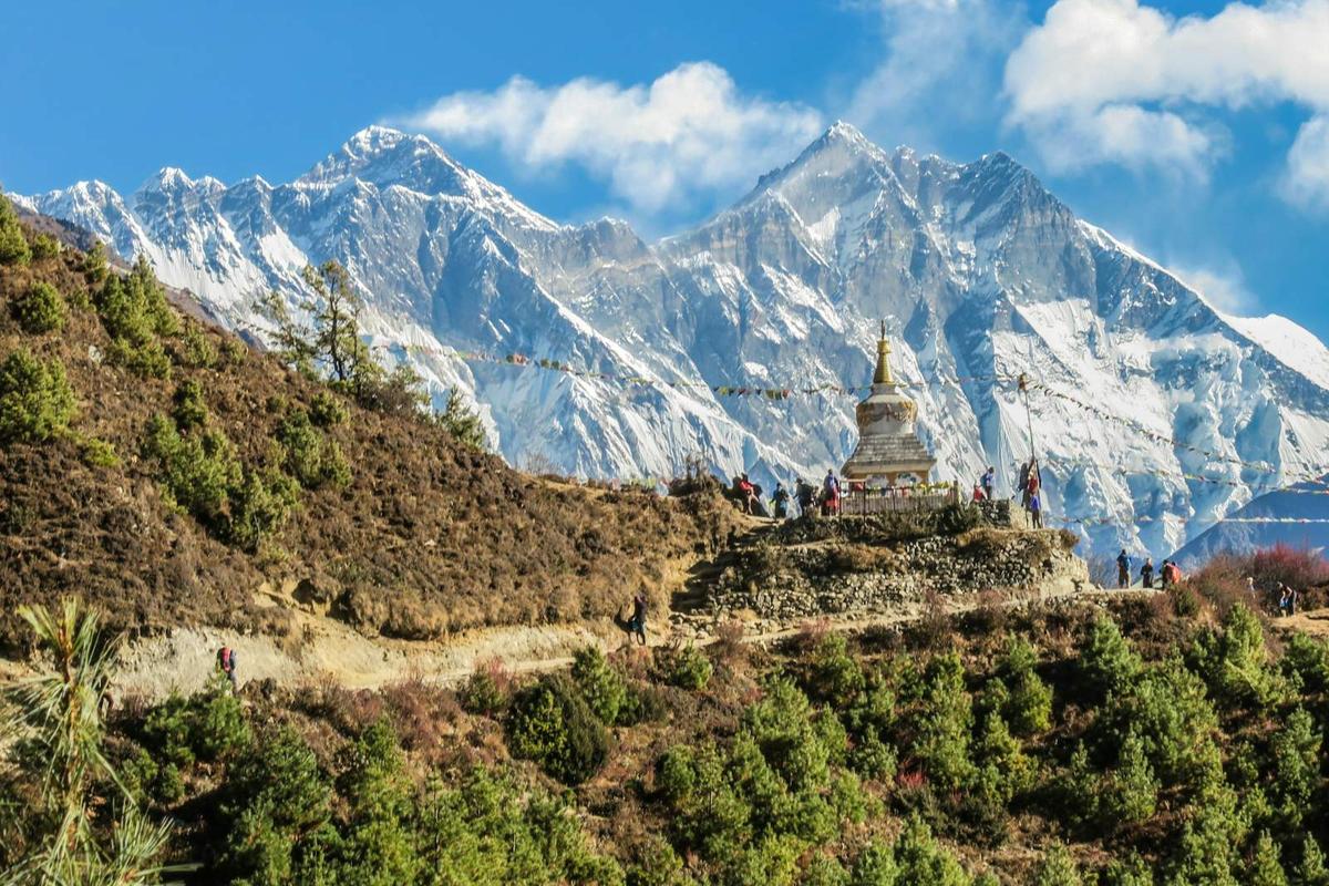
The honest limit: no Base Camp, and the views depend on clear mornings. With less than two weeks, that is often the right trade.
Classic Everest Base Camp route
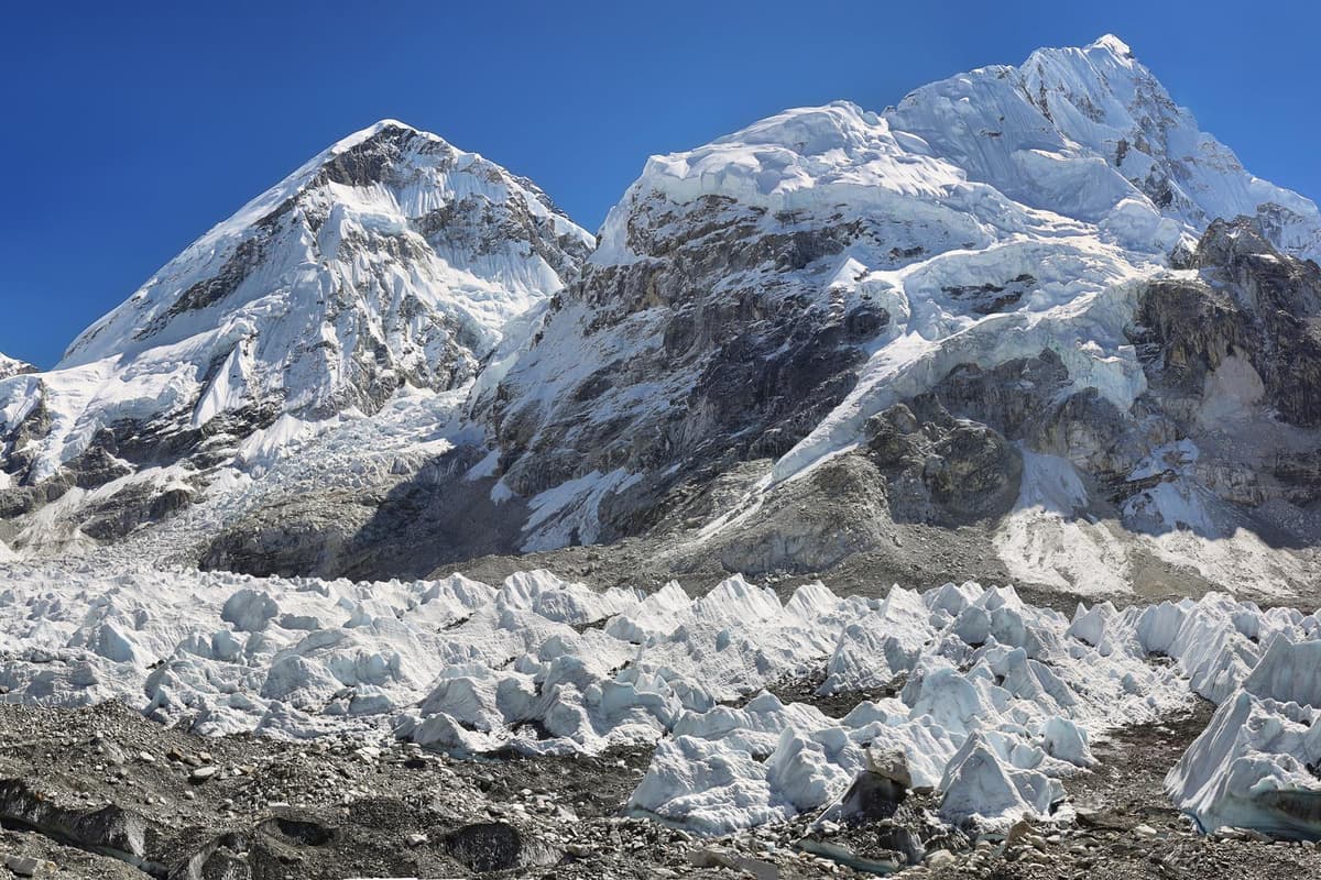
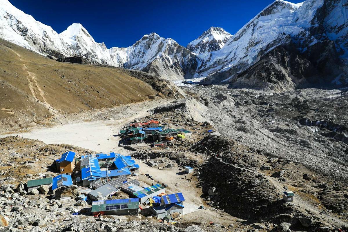
This is the EBC trail most people mean. From Namche it climbs to Tengboche, then Dingboche (about 4,360 to 4,410 m), Lobuche (about 4,910 to 4,940 m) and Gorak Shep (about 5,140 to 5,180 m), the last lodges below Base Camp at 5,364 m. Above Gorak Shep is Kala Patthar, a rocky viewpoint at about 5,550 m (some sources give 5,545 m). It is widely called the best close view of Everest that trekkers can reach; from much of the region, Nuptse hides Everest's summit.
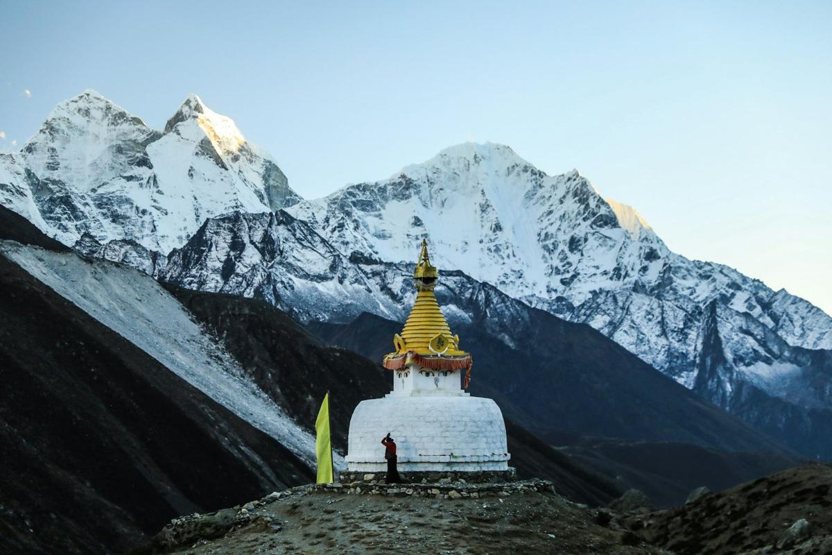
World Expeditions grades its 17-day Everest Base Camp Trek in Comfort 5 out of 10 (Moderate); Intrepid and KE Adventure call their versions challenging.
Gokyo Lakes route
The Gokyo route climbs the valley west of the Base Camp trail, through Mong La (about 3,970 m), Dole (about 4,040 m) and Machhermo (about 4,410 to 4,470 m), to Gokyo village at about 4,750 m. The lakes lie at about 4,700 to 5,000 m beside the Ngozumpa glacier, which is about 18 km long. The high point is Gokyo Ri, 5,357 m, above the village.
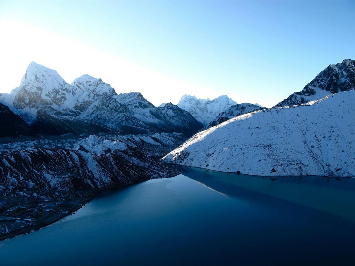
Nepal Hiking Team runs it in 15 days with 10 on foot and grades it Moderate. You give up Base Camp for a lower top night. Our Gokyo Lakes guide covers the lakes one by one.
Gokyo and Base Camp via Cho La
Cross Cho La (5,420 m) and you see both valleys. Exodus (19 days, 15 walking, graded "Challenging & Tough") and KE Adventure (20 days, 16 trekking, graded Challenging) both go to Gokyo first, cross the glacier to Thagnak (about 4,700 m), then cross Cho La east to Dzongla (about 4,830 m) and carry on to Lobuche and Base Camp.
Exodus describes "steep, rocky terrain, some scrambling and walking on a glacier", and the glacier section can be icy. It is a long day; your guide, who knows the route, decides when and how to cross, based on snow and the forecast. Our Cho La Pass guide has the detail.
Gokyo and Base Camp without a pass
Intrepid's EBC and Gokyo Lakes trip (19 days) leaves out Cho La: after Gokyo it returns via Machhermo and Phortse to Dingboche, then follows the classic trail. You walk some ground twice but skip the glacier.
Three Passes trek
The Three Passes loop crosses Kongma La (5,535 m, the highest of the three, linking Chhukung and Lobuche), Cho La (5,420 m) and Renjo La (about 5,360 m; some maps and operators give up to about 5,440 m). World Expeditions, Nepal Hiking Team and KE Adventure list 22 days and Third Rock 20, with about 17 to 18 days on foot; World Expeditions grades it 7 out of 10 (Challenging), Nepal Hiking Team Strenuous.
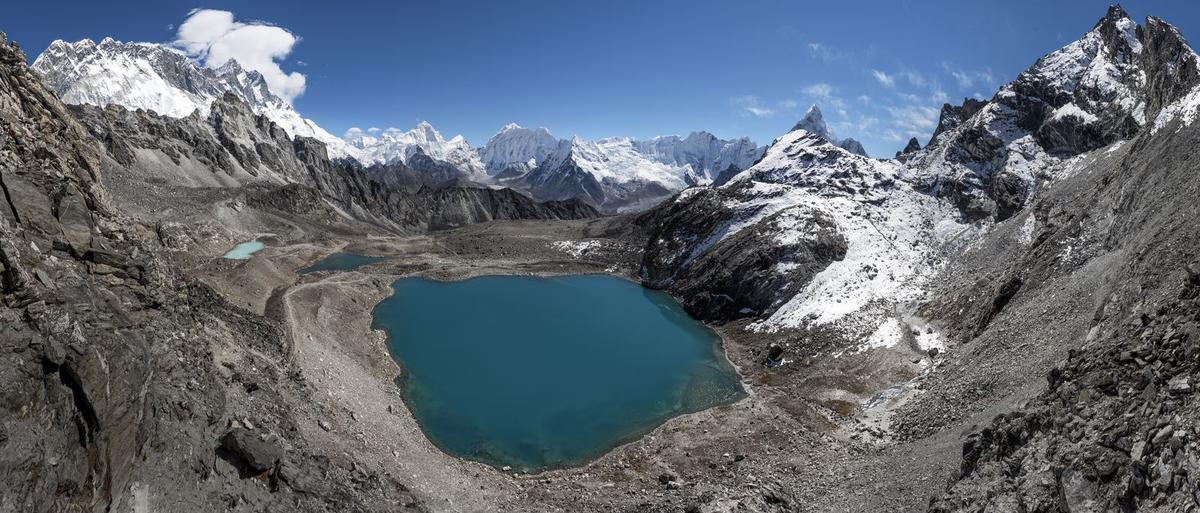
World Expeditions and Nepal Hiking Team run the loop anticlockwise, crossing Kongma La first after nights in Dingboche and Chhukung (about 4,730 m). Operators who favour this direction say you are better acclimatised before the hardest climbs, and Base Camp is still in reach if snow shuts a pass. Clockwise, as Third Rock runs it, starts with Renjo La from Lungden (about 4,370 m), after less time at height. Nepal Hiking Team notes there are no teahouses on the Kongma La crossing, so you carry water and lunch. On every pass, your guide, who knows the route, decides when and how to cross, based on snow and the forecast.
Which route suits you?
Choose by days first, then by how you cope with altitude, then by scenery. Fitness matters, but height is the bigger test, and the passes add steep, icy ground on top. If you are unsure, pick the shorter route and walk it slowly. The "Who it suits" column above is our short answer for each route.
How do you reach the start of the trail?
The usual start is a flight to Lukla, a 2,846 m airstrip. In peak seasons many Lukla flights leave from Ramechhap (Manthali), not Kathmandu, and every flight is weather-dependent, so keep spare days at the end of your trip. A few trekkers walk in from Jiri, and a road reaches Salleri.
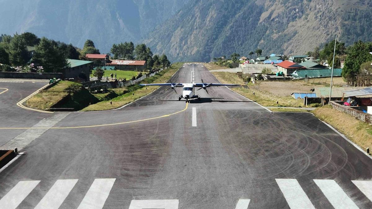
From Kathmandu the flight to Lukla takes about 30 minutes; from Ramechhap it takes about 20. This autumn Tara Air, Summit Air and Sita Air fly the Manthali to Lukla route, and flights from Manthali increased from late September, Kantipur reported on 4 October 2026. The drive to Manthali usually takes about 4 to 5 hours, longer when the BP Highway is blocked and traffic takes the longer mid-hill road; Intrepid currently plans a drive of about 8 to 9 hours with a night in Manthali. Our Lukla Airport guide explains the Ramechhap transfer and delays.
Walking in from Jiri or Salleri
The old walk-in starts with a drive to Jiri and passes villages such as Shivalaya, Junbesi and Nunthala, with about a week or more of walking before you join the Lukla trail near Phakding. A road also reaches Salleri; travellers have used it to get out when flights stop, though landslides disrupted it at the start of November 2025, The Himalayan Times reported.
What permits do you need for Everest region trekking?
You need two permits on every route: the Sagarmatha National Park entry permit and the Khumbu Pasang Lhamu Rural Municipality Trek-Card. For most foreign nationals each costs NPR 3,000, so NPR 6,000 in total. We arrange the Sagarmatha National Park permit and the Khumbu municipality Trek-Card for our trekkers.
| Permit | Foreign nationals | SAARC nationals | Notes | Source (checked) |
|---|---|---|---|---|
| Sagarmatha National Park entry permit | NPR 3,000 per entry | NPR 1,500 per entry | Children below 10 free | NTB, Park entry fees in Nepal (9 Nov 2026) |
| Khumbu Pasang Lhamu Rural Municipality Trek-Card | NPR 3,000 | NPR 2,000 (Chinese nationals also NPR 2,000) | Issued in Lukla; passport and photo; about 15 minutes | Khumbu Pasang Lhamu Rural Municipality, Trek card page (9 Nov 2026) |
| Total per person | NPR 6,000 | NPR 3,500 (Chinese nationals NPR 5,000) | Sum of the two fees | Derived from the two pages above (9 Nov 2026) |
Do you need a guide in the Everest region?
Two official positions exist, and they disagree. Nepal Tourism Board's rule requiring foreign trekkers to have a licensed guide came into force on 1 April 2023 (NTB lists 31 March 2023). The Khumbu Pasang Lhamu Rural Municipality says a guide is not compulsory in its area and issues Trek-Cards to trekkers.
"It is not mandatory to hire a guide for trekking in the Everest region"
Khumbu Pasang Lhamu Rural Municipality press statement, reported by The Kathmandu Post, 3 April 2023
NTB's chief executive officer answered in the same report.
"It is highly irresponsible of the rural municipality in the Khumbu region not to follow it"
Dhananjay Regmi, chief executive officer, Nepal Tourism Board, The Kathmandu Post, 3 April 2023
Our own position is simple. A licensed guide walks with you on every trek we run.
How do you acclimatise on these routes?
Slowly, on every route. The CDC puts the risk of altitude illness from about 2,450 m, and Lukla at 2,846 m is already above it. Above 3,000 m, raise your sleeping height by about 500 m a night at most and take a rest day every 3 to 4 days (Wilderness Medical Society, 2024).
Your first night, at Phakding (about 2,610 m), is lower than Lukla. After that, the same habits apply on all six routes:
- Walk slowly and drink water.
- No alcohol in your first days at height.
- Never go higher with symptoms of altitude sickness.
- Go down if they get worse.
- Ask your doctor about medicine before you travel.
- Garlic soup is a comforting local tradition, not a proven cure.
The Himalayan Rescue Association aid post at Pheriche (about 4,240 m), near Dingboche, is staffed by volunteer doctors in the main trekking seasons; this autumn it runs to the end of November 2026.
What are the trails like in November 2026?
Trekking has resumed and the Base Camp trail has been busy, with snow higher up after Cyclone Arnab brought rain and snow at the end of October 2026. The Department of Tourism advised trekkers to avoid high areas from 28 October to 1 November, and the Department of Immigration asked permit holders not to trek in high mountain areas from 29 to 31 October. Both periods are over.
ExplorersWeb reported on 4 November that trekkers held in Dingboche by about three days of snow and rain then set off at the same time, crowding the snowy EBC trail to Gorak Shep. A Gokyo lodge owner told ExplorersWeb that fresh snow had made the usual Gokyo to Dragnag glacier crossing less safe, and suggested an easier local route between the first and second lakes.
Frequently asked questions
How long is the Everest Base Camp trek, and how many days do I need?
Most operators run the classic Everest Base Camp trek in 15 to 17 days door to door, with about 12 to 13 days on foot (Intrepid, KE Adventure, World Expeditions). Gokyo with Cho La takes about 19 to 20 days, the Three Passes about 20 to 22. Keep spare days for weather-dependent Lukla flights.
How difficult is the Everest Base Camp trek, and can a beginner do it?
A fit beginner can do it, but it is not easy. Nepal has no official difficulty scale: World Expeditions grades its classic-route trip 5 out of 10, while Intrepid and KE Adventure call theirs challenging. The hard part is altitude, not technique, and Lukla is already above the 2,450 m level where the CDC says altitude illness becomes a risk. Beginners should leave the passes for later.
What is the best month to trek to Everest Base Camp, and is winter or monsoon possible?
October and November are the most reliable months; NTB says the clearest skies come after the monsoon then. March to May is the other main season. December to February is cold but often clear, World Expeditions says, though many lodges at Gorak Shep close in winter. The monsoon (about 13 June to 2 October on the DHM normal) brings cloud and flight delays, and World Expeditions runs no Three Passes departures from June to August.
Is there Wi-Fi and phone signal on the Everest Base Camp trek?
Yes, but it is patchy. Ncell and Nepal Telecom signal works in some villages and drops between them. Most trekkers use lodge Wi-Fi or Everest Link, a local provider whose prepaid cards are sold in Lukla, Namche, Dingboche, Gokyo and at lodges; both can be slow. Intrepid lists lodge Wi-Fi at about NPR 500 for up to 12 hours (a market price, not ours). Solar charging can fail in cloud.
How much does the Everest Base Camp trek cost?
The fixed part is the two permits: NPR 3,000 for the Sagarmatha National Park entry permit and NPR 3,000 for the Khumbu Trek-Card for most foreign nationals, NPR 6,000 in total (SAARC nationals pay NPR 3,500). On the trail, operators list charging at about NPR 200 to 500 per device, sometimes per hour, and hot showers at about NPR 250 to 600 (market prices, not ours). Our Everest Base Camp trek cost guide breaks it down.
Plan your trek
Tell us how many days you have and how you have done at altitude, and we will tell you honestly which route fits. If Base Camp is the goal, start with our Everest Base Camp trek. If you would rather see the lakes and sleep a little lower, look at the Gokyo Lakes trek. With less than two weeks, the Everest View trek is the gentle option.
A licensed guide walks with you on every trek we run. Send us your dates on WhatsApp or through the enquiry form for an honest suggestion and a quote.
Your Nepal visa and international flights are your own arrangements; official visa information is on the Nepal Tourism Board tourist-visa page.